Lake Atitlán
Lake Atitlán, Guatemala
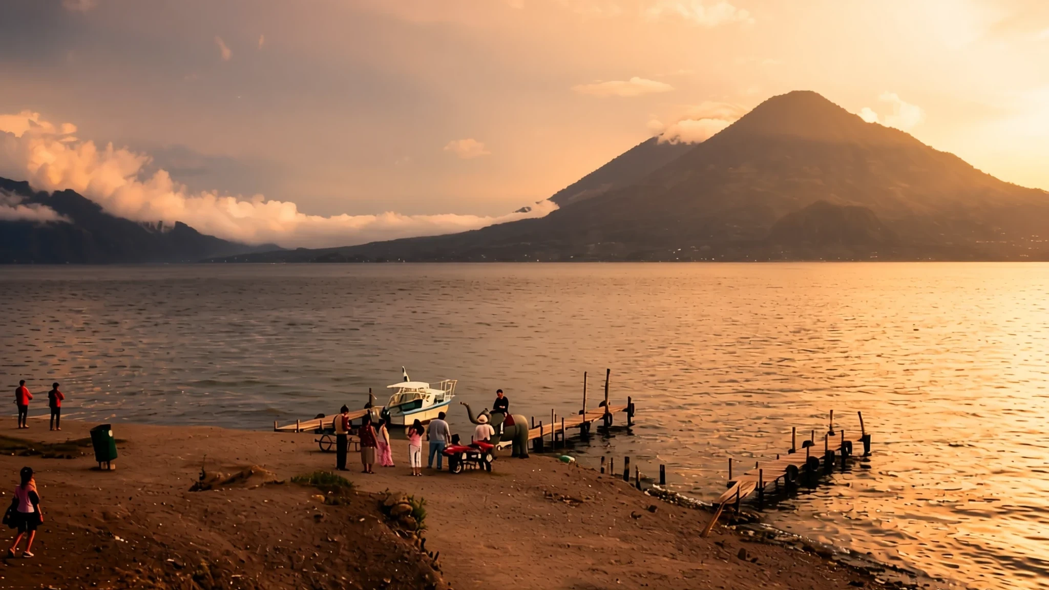
Lake Atitlán is a volcanic crater lake in the Guatemalan Highlands, ringed by three volcanoes and a string of Maya villages.
The place
Lake Atitlán lies in the Guatemalan Highlands, in the Sololá Department of the southwest, at about 1,562 metres above sea level. It fills a huge volcanic crater left behind by an eruption roughly 79,500 years ago, and the bowl it occupies is walled by steep escarpments. Three volcanoes rise along its southern side, which is why the lake often looks as if it has been set into the hills rather than laid across a valley floor. The water has no outlet to the sea: two nearby rivers feed it, and it leaves only by evaporation and seepage. At its deepest it reaches about 340 metres, which makes it the deepest lake in Central America. The shoreline is a scatter of towns and villages joined by public boats. Panajachel, on the north shore, is where most travellers arrive, and it has the busiest streets. San Pedro la Laguna, San Marcos and San Juan La Laguna on the western side draw a younger crowd, with cafés and bars. Further along, villages such as Santiago Atitlán and Santa Catarina Palopó keep their daily life closer to older patterns. The lake is calm in the early morning, and the wind often builds through the day, so a boat trip feels different depending on the hour you set out.
Its story
Lake Atitlán's story begins long before the lake had a Spanish name, with Maya communities whose descendants still live on its shores. The Tz'utujil and Kaqchikel are the main peoples here today. When Spanish forces arrived, the Kaqchikel first joined them to beat their old rivals, the Tz'utujil and the K'iche' Maya. That alliance did not protect them for long. When they refused to pay tribute to the new rulers, they were conquered too, and the region was folded into colonial control.
Outsiders who came later wrote about the lake with admiration. The German naturalist Alexander von Humboldt praised its beauty, and the English novelist Aldous Huxley described it in a travel book between the wars, comparing it to Lake Como but with volcanoes added. Writing like this helped build the lake's reputation as one of Guatemala's leading attractions, and it drew visitors who came for views rather than daily life.
Over the decades the shoreline changed shape. Panajachel grew into a town shaped by Guatemalan and foreign visitors, and its character now differs sharply from villages a boat ride away. In more recent years, new holiday homes and hotels have been built along the lakeside, some with private docks, and they have restricted public access to parts of the lakeside path. The result is a lake where tourism and Maya life sit side by side, sometimes uneasily, and where the choice of village shapes most of what you will see.
What to see
- The lake from the Panajachel shore — Panajachel, north shore
Most journeys start on the Panajachel waterfront, where the lake opens out in front of you and the three volcanoes line the far shore. Early in the morning the surface is often still, and the reflections are at their clearest before the afternoon wind rises. Boats leave from here for the villages on the other side, so it is a good place to plan your crossings.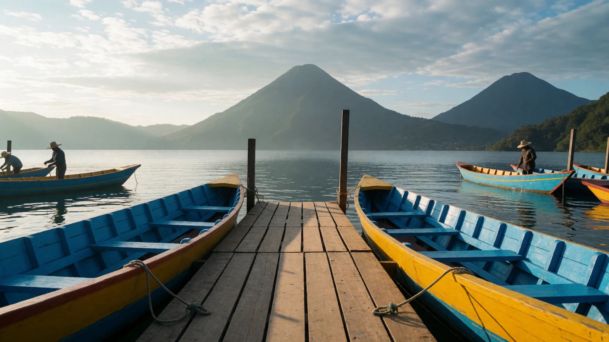
- Volcán San Pedro — San Pedro la Laguna, western side
Volcán San Pedro rises above San Pedro la Laguna and is the climb most visitors choose from the western side. The route is steep and takes several hours up, so start early and carry water, a layer for the cold summit and sturdy shoes. From the top you look down on the lake and its basin, which is far clearer than from the shore. Ask a local guide about conditions.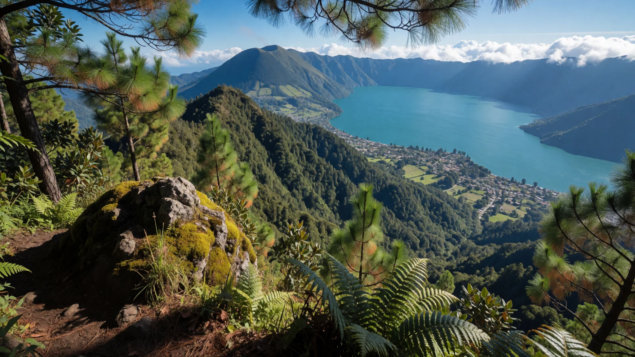
- The Indian's Nose (Rostro Maya) — Above San Juan La Laguna and San Marcos
The Indian's Nose, also called Rostro Maya, is a viewpoint on a mountain above San Juan La Laguna and San Marcos. Tracks lead up through the hills, and horse trips to the top are offered for those who would rather not walk. The view takes in the lake, the villages below and the volcanoes. Go early, when the air is clearer and it is quieter.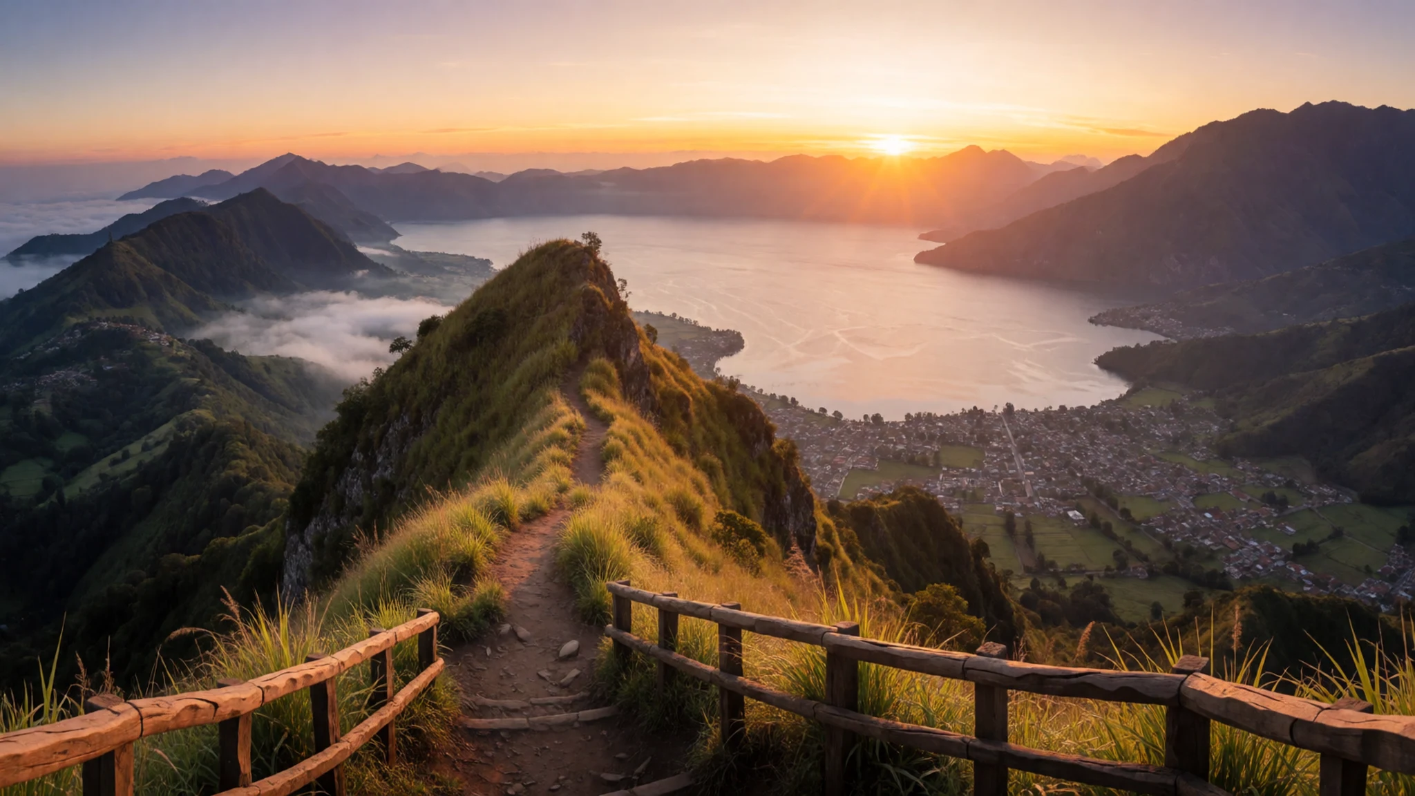
- Santiago Atitlán — Southern shore, reached by boat or road
Santiago Atitlán sits on the southern shore, reached by boat or road, and it is the biggest of the lakeside settlements. Its Maximón figure is kept by a local religious brotherhood and moved from house to house through the year. Visitors can walk the streets, but a shrine is first a place of worship.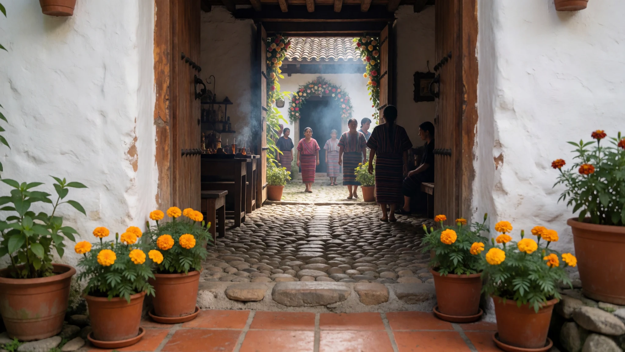
- Santa Catarina Palopó — Eastern shore
Santa Catarina Palopó sits on the lake's eastern side, a village where Maya life feels close to the surface. Walk its lanes slowly, with a few words of Spanish, and you may see women in traditional dress going about the day. The lakeshore beyond the village has been built up with private hotels and docks, so ask before walking past gates.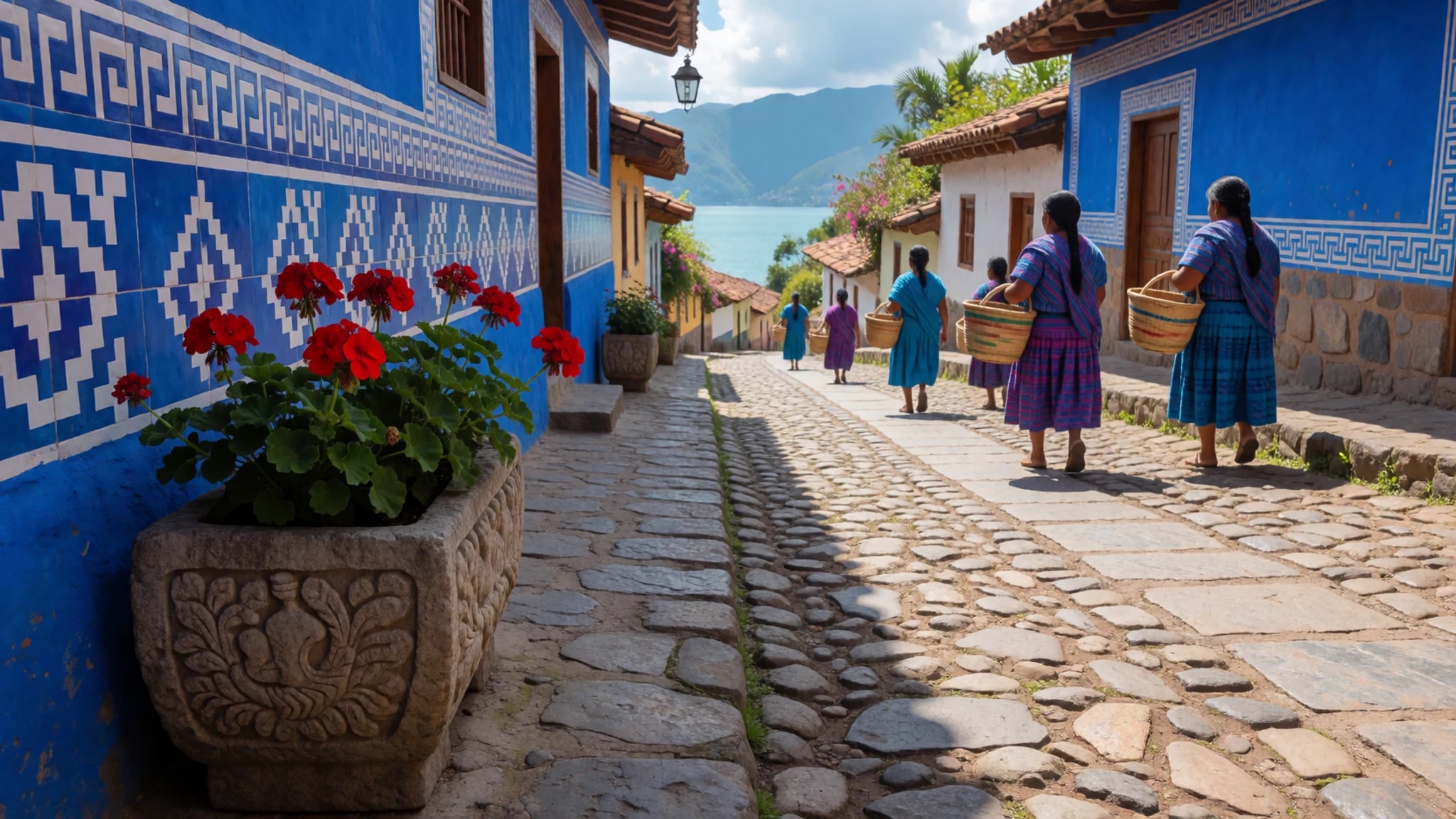
Culture
The villages around Lake Atitlán are places where Maya culture remains strong. The Maya people here are mainly Tz'utujil and Kaqchikel, and in many communities people speak their own languages with each other rather than Spanish. Traditional dress is still worn, particularly by women, and it is a visible sign of local identity rather than a costume for visitors. Religion is layered: Catholic practice sits alongside older beliefs, and some families keep traditional ways of farming. The best-known example is Maximón, a figure that blends Maya deities, Catholic saints and tales of the Spanish conquest. Its effigy is looked after by a local brotherhood and moves between houses during the year, with a large procession at Semana Santa. Panajachel is different, since its streets are shaped largely by visitors from Guatemala and abroad, and its customs are more relaxed than in quieter villages. Life in most villages runs on markets, farming and family, and visitors are usually welcome if they are respectful. Ask before photographing people, especially anyone in traditional dress, and never photograph religious ceremonies or the Maximón effigy without permission.
What to wear
Traditional dress around Lake Atitlán is worn most by women in the lakeside villages, and each community has its own patterns. The core pieces are a hand-woven blouse called a huipil, usually of cotton and decorated with bright motifs, and a wrap skirt known as a corte, held in place by a woven belt called a faja. Textiles are often made on backstrap looms, a method that takes time and skill, and the designs carry local identity, so a town can often be recognised by its colours and patterns.
In daily life, dress varies a great deal. Many women in the villages still wear traditional outfits for market days and family occasions, while younger people and men often wear Western clothing such as jeans and t-shirts. Panajachel and the busier towns show the most mixing of styles, with tourist shops selling textiles alongside everyday clothes.
For your own clothing, the climate is warm by day and cooler at night, and the lake's altitude means evenings can feel chilly. Bring light, breathable layers, a jacket for the evenings, and a hat and sunscreen for the sun on the water. Cover shoulders and knees when you visit churches, shrines or cemeteries. For the terrain, bring closed walking shoes with good grip, since paths along the lake and volcano trails can be steep, loose and muddy after rain. If you buy a woven piece, buy it from the weaver or a cooperative so the work stays with the community.
What to eat
- Pupusas — Small comedores and street stalls in the less touristy villages, especially at lunchtime
Thick corn tortillas, griddled and split open, then stuffed with cheese, beans or pork. They make a filling snack or light meal. Eat them hot, from a griddle you can see, and ask for the sauces on the side.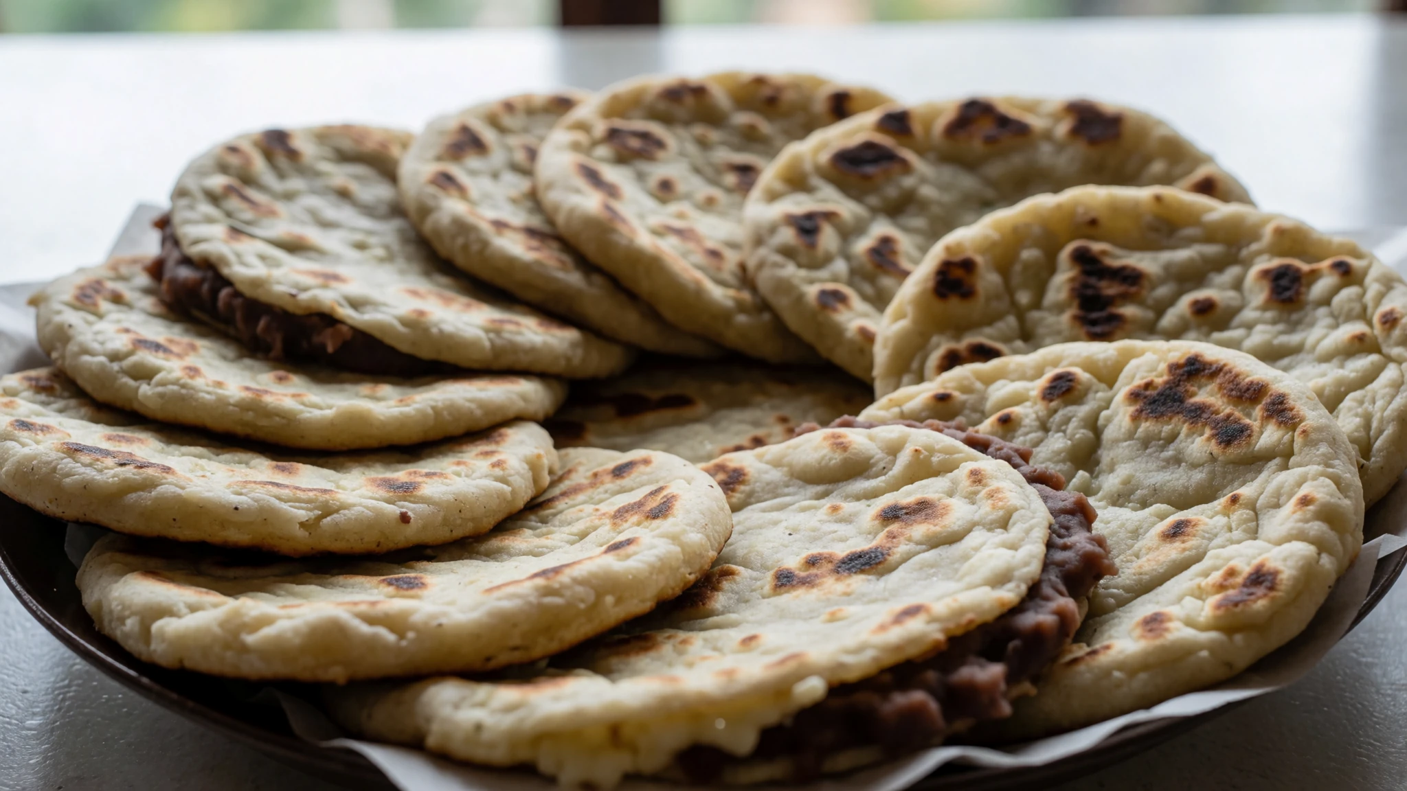
- Dobladas — Street counters in the larger towns
Folded tortillas fried until crisp, usually filled with meat or cheese and served with shredded cabbage and tomato. They are a common Central American snack, and you will see them on street counters.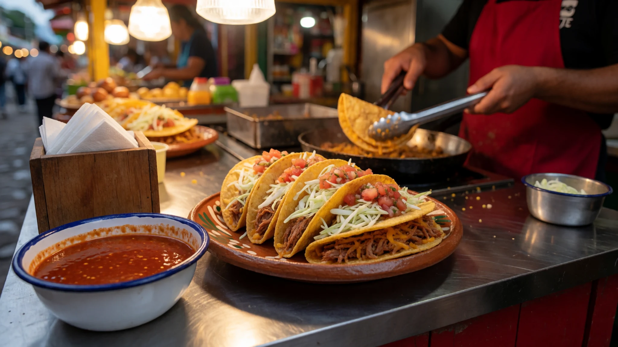
- Garnachas — Busy street stalls on the western side of the lake
Crisp fried tortillas topped with minced meat or beans, cheese and a tangy vegetable salad. They are sold as a quick snack and are worth trying from a busy stall, where the oil is likely to be fresh. - Tostadas — Market counters and comedores in the larger towns
Flat, crisp tortillas spread with refried beans and topped with shredded chicken or meat, avocado and cabbage. They are easy to eat by hand and a good way to start a long lakeside walk. - Empanadas — Bakeries and street vendors in the quieter villages
Pastry turnovers, either baked or fried, filled with cheese, beans or sweet fillings such as fruit. They are sold by bakeries and street vendors, and prices can vary between counters, so ask before you buy.
Plan it
Best time. December to March is the driest stretch and the best time to go, with clearer skies for the volcanoes and the lake reflections. May to October brings more rain, often in bursts through the afternoon, though the mornings are frequently clear.
How long. 3–4
Getting there. Fly into Guatemala City, then take a shuttle or bus to the lake. Tourist shuttles run from Antigua to San Pedro and San Juan, and most travellers arrive in Panajachel by bus. The last leg is by public boat between the lakeside villages.
Budget. mid
Tips
- Book shuttles ahead where you can, especially at weekends
- Start volcano and Indian's Nose walks early, before cloud builds over the lake
- Carry cash in quetzales for small shops, markets and boat tickets
- Carry plenty of water and sun protection, and take hikes gently at this altitude
- For volcano hikes and remote roads, ask locally or hire a guide, as armed robbery has been reported on some trails. Check the official site, atitlan.gt, for current boat and shuttle information
Etiquette
- Dress modestly when entering churches and ceremonies
- Ask before photographing people, and avoid photographing religious ceremonies
- Respect private gates and closed sections of the lakeside path
Nearby
Sources
- Wikidata Q273276 (CC0)
- Wikipedia: Lake Atitlán (rev 1366151468) (CC BY-SA 4.0)
- Wikivoyage: Lake Atitlán (rev 5408042) (CC BY-SA 4.0)
- Photo 01: El Lago de Atitlán seen from orbit (NASA) (Public domain)
- Photo 02: Volcan San Pedro from the Panajachel lakeshore (Uspn) (CC BY-SA 1.0)
- Photo 03: Lago Atitlan from Volcan San Pedro (Bjørn Christian Tørrissen) (CC BY-SA 2.0)
- Photo 04: Hotel Atitlán on the shores of Lake Atitlán (BBCLCD) (CC BY-SA 4.0)
- Photo 05: Atitlan Lake from Tzam Poc Hotel (Emilio Piovesan) (CC BY 3.0)
- Photo 06: Lago de Atitlán 2009 panorama (chensiyuan) (CC BY-SA 1.0)
- Photo 07: Volcano Atitlán, San Pedro, Tolimán and Lago Atitlán 3D (Asybaris01) (Public domain)
- Photo 08: Lake Atitlán, Guatemala (Teomancimit) (CC BY 3.0)


