Laguna Verde
Laguna Verde, Bolivia
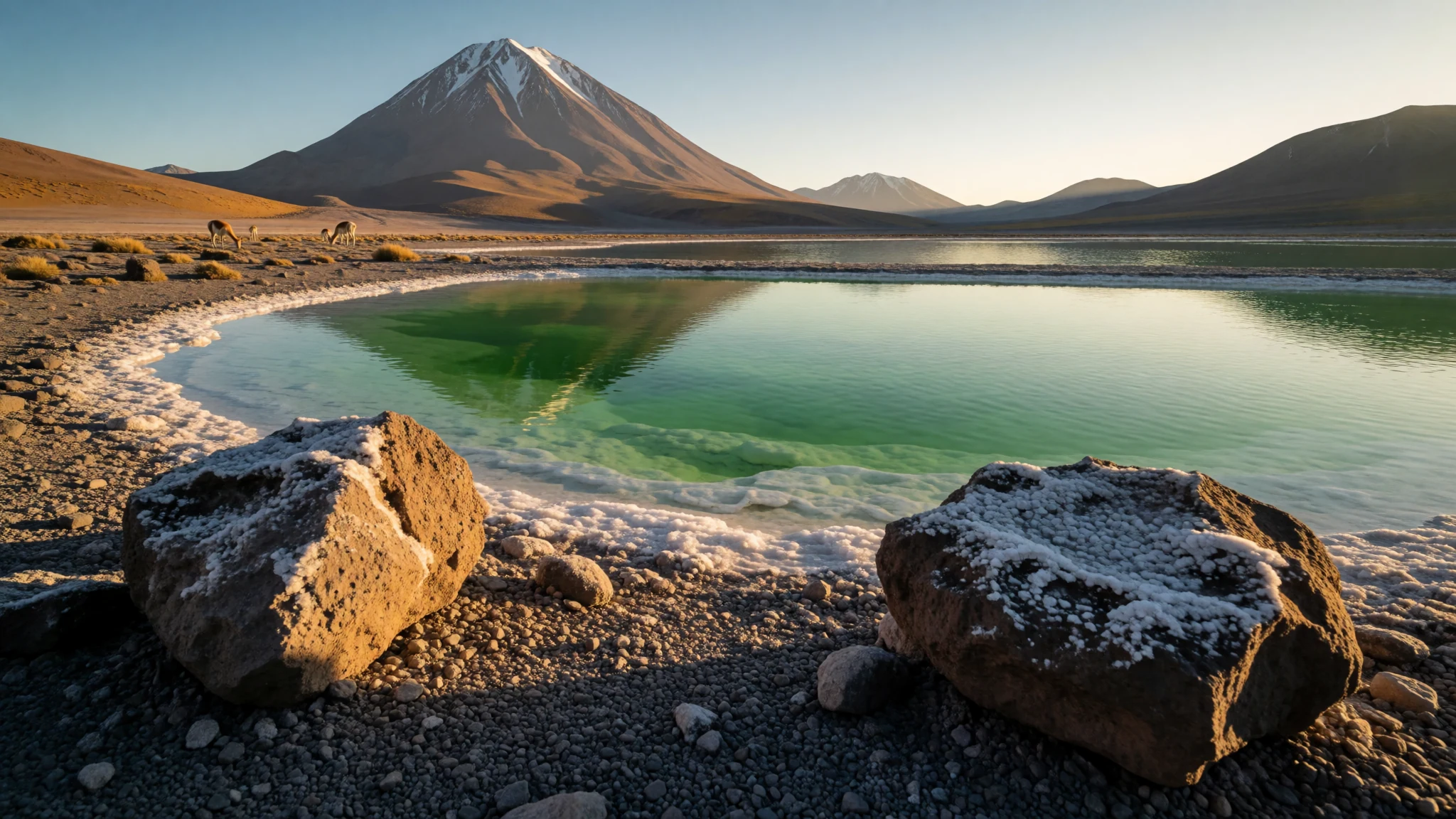
Laguna Verde offers a stunning high-altitude encounter with mineral-tinted green waters set against the imposing volcanic backdrop of the southern Bolivian altiplano.
The place
Laguna Verde sits in an endorheic basin within the southwestern reaches of the Bolivian altiplano, tucked inside the Sur Lípez Province of the Potosí Department. Positioned right near the Chilean frontier, the lake rests at the foot of a towering dormant volcanic peak. At an elevation of about 4,300 metres above sea level, the water body spans several square kilometres and is divided into two distinct basins by a narrow natural causeway. This remote aquatic feature marks the southwestern extremity of the protected Eduardo Avaroa Andean Fauna National Reserve and the edge of the country itself.
The extraordinary coloration of Laguna Verde stems from mineral suspensions, notably arsenic and copper compounds, caught in the saline waters. Winds sweeping across the arid plateau stir up these suspended sediments, shifting the lake's appearance from a pale turquoise to a deep, striking emerald. Rising directly behind the southern and western shores, the landscape shows clear volcanic scars and dramatic erosion patterns shaped over millennia by harsh winds and extreme weather. Despite the intense cold typical of these heights, geothermal springs warm local waters before they emerge into adjacent basins, adding a complex hydrological balance to an otherwise frozen and desolate desert environment.
Its story
The story of Laguna Verde is written in ancient waterlines and shifting glacial epochs that transformed the high altiplano. During past glacial periods, the lake was vastly larger and deeper than it is today, merging completely with neighbouring Laguna Blanca to form a single, sprawling inland sea. Geomorphological studies of the surrounding terrain reveal dozens of former shorelines stacked along the slopes, marking the gradual recession of water over thousands of years.
Long after the ice retreated, the basin became a vital crossroads for indigenous communities traversing the high passes of the southern Andes. Llamas and alpacas grazed the sparse puna grasses along the damp margins, while salt gatherers harvested the mineral crusts left behind by evaporating water. In more recent decades, the establishment of the surrounding national reserve brought global attention to this isolated corner of South America. Travellers following remote tracks across the salt flats and volcanoes encounter a landscape largely untouched by modern infrastructure, where human history remains quiet and secondary to the immense geological forces that sculpted the peaks and basins of the high desert.
What to see
- The Green Basin — Main lake shore
The primary western basin of Laguna Verde displays its most intense emerald hues when afternoon gales whip up the mineral-rich sediments from the shallow lakebed. Visitors can walk along the gravel shores to observe how shifting sunlight alters the water from pale turquoise to a deep, dark green.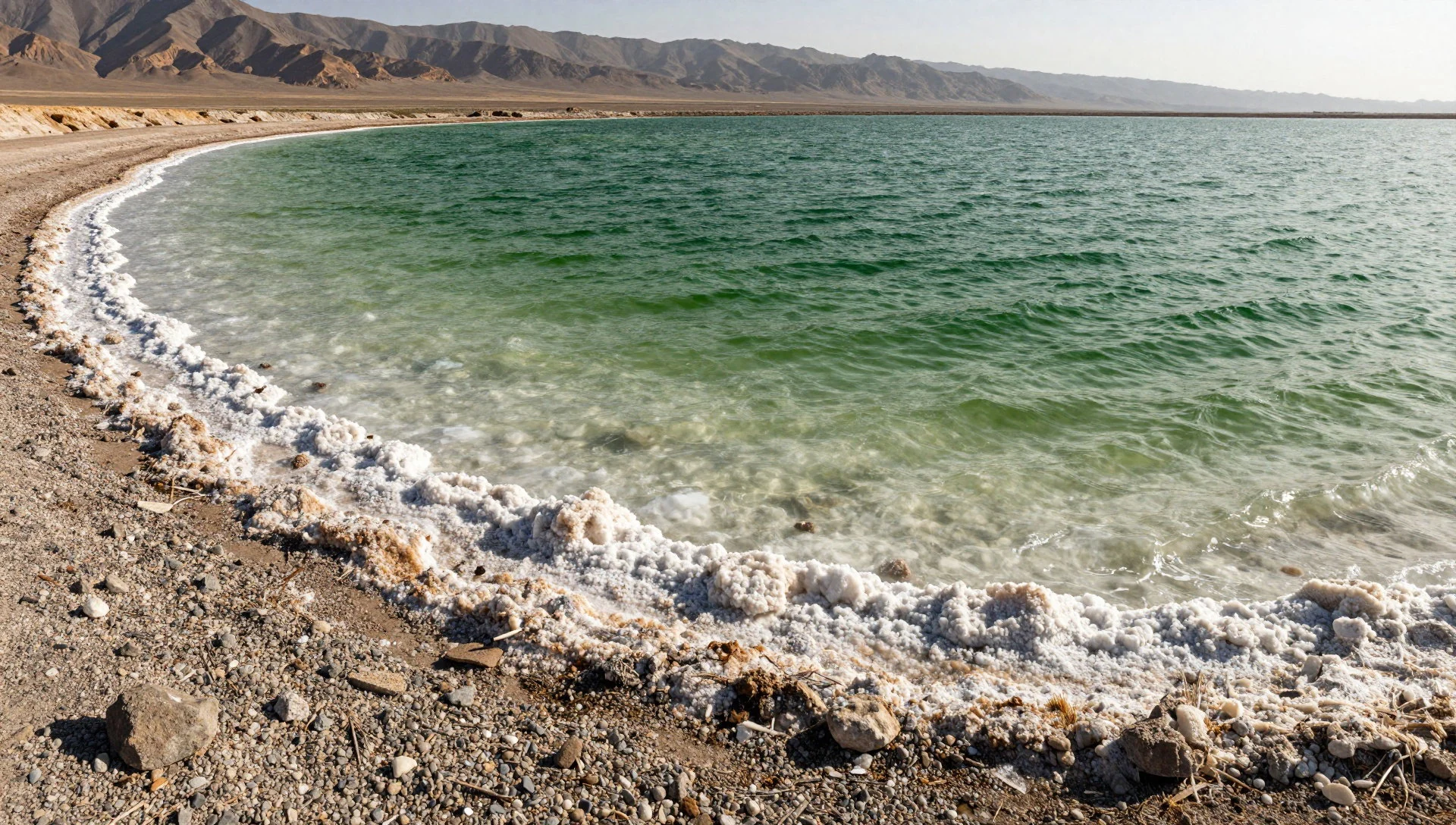
- Licancabur Volcano Backdrop — Southern horizon
Rising directly behind the lake, the symmetrical volcanic cone dominates every view across the water. This massive peak towers over the basin, creating a dramatic focal point that reflects perfectly on calm mornings before the afternoon winds disturb the surface of the lake.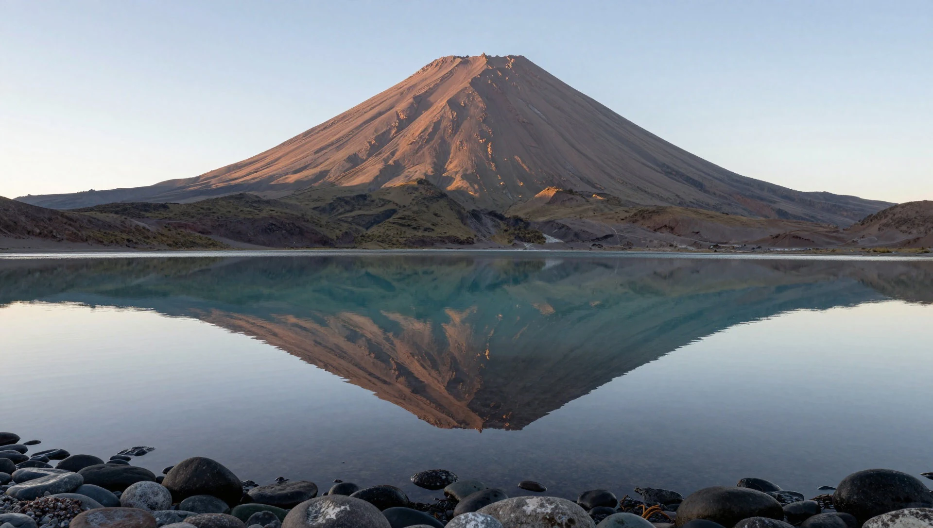
- The Dividing Causeway — Central lake dividing line
A narrow natural causeway cuts across the middle of the aquatic system, effectively separating Laguna Verde from its paler neighbour. Walking along this narrow strip of land offers a unique vantage point to compare the contrasting water chemistry and sediment colours of the two connected basins.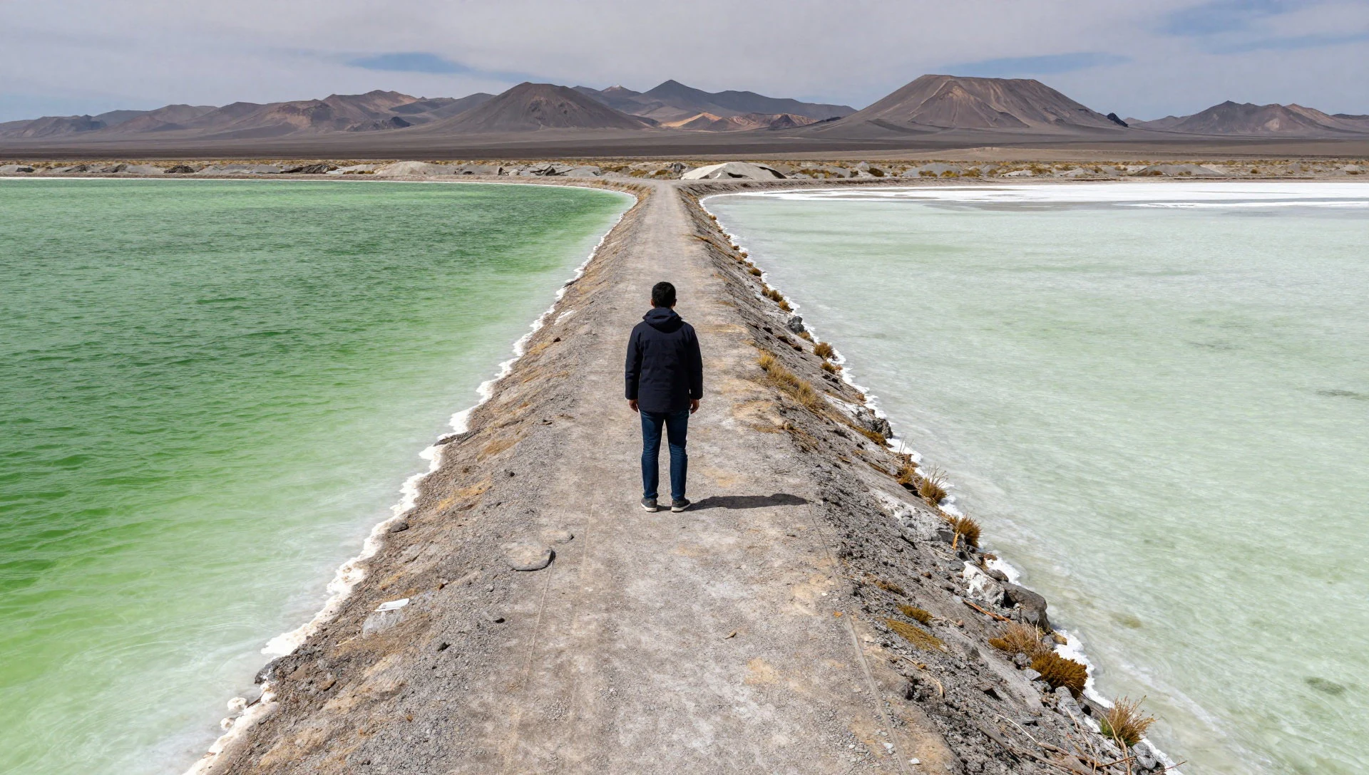
- Eduardo Avaroa Reserve Margins — Surrounding national reserve
The wider protected area surrounding the lake shelters vast high-altitude wetlands and desolate desert plains. Exploring the outer edges of the reserve reveals sweeping vistas of volcanic cordilleras, wind-sculpted rock formations, and remote wilderness stretching toward the distant borders.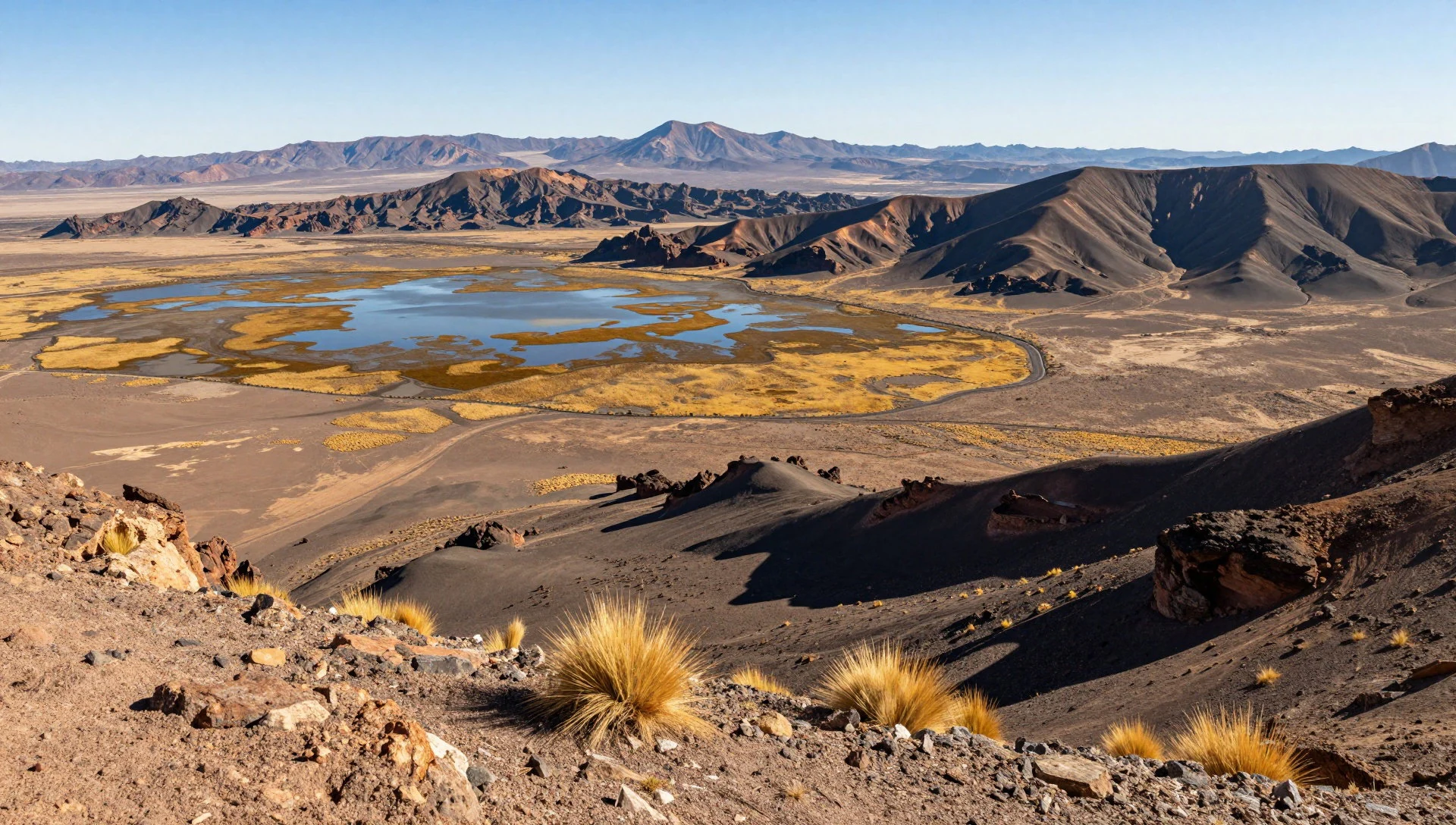
- Geothermal Springs Area — Eastern lake approaches
Subterranean volcanic heat warms mineral waters that bubble up near the edges of the wetland systems. These thermal trickles provide vital microhabitats in an otherwise freezing landscape, releasing gentle steam into the crisp mountain air against the harsh desert backdrop.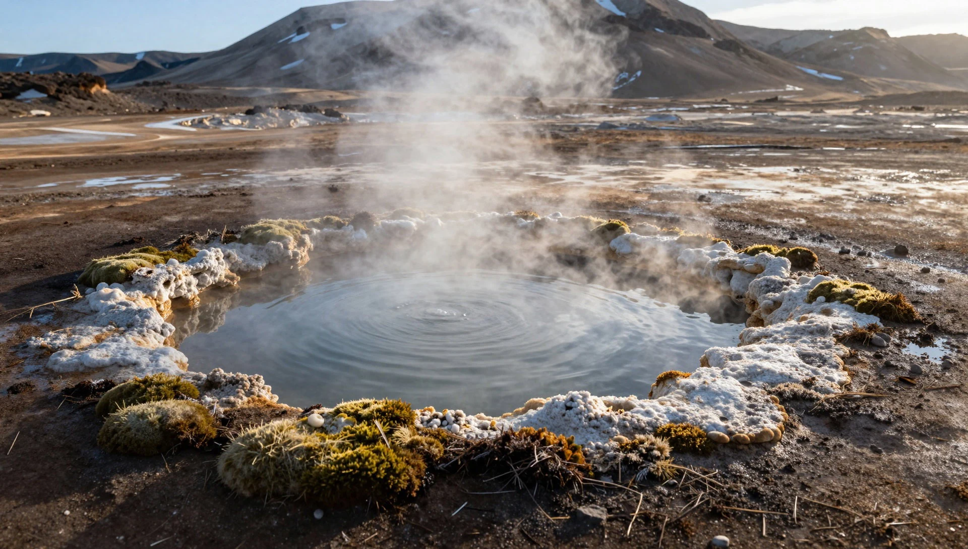
Culture
Laguna Verde and the surrounding altiplano are steeped in the heritage of Andean pastoralist communities who have adapted to life at extreme elevations for centuries. Traditional life here revolves around camelid herding, mineral harvesting, and navigating the harsh climate with deep spiritual respect for the mountains, known locally as achachilas. Cultural practices blend ancient indigenous reverence for the earth and volcanoes with syncretic Catholic traditions introduced during the colonial era. Travellers visiting Laguna Verde should always ask permission before photographing local herders or indigenous families, respecting their privacy and daily livelihoods.
What to wear
Traditional dress around Laguna Verde and the wider Potosí Department reflects generations of practical adaptation to freezing winds and intense solar radiation. Indigenous women traditionally wear layered wool skirts called polleras, woven shawls known as aguayos for carrying goods and infants, and distinctive bowler hats or high-altitude felt hats. Hand-knitted alpaca jumpers and heavy ponchos provide essential insulation against sub-zero temperatures.
Today, younger generations and rural workers blend these traditional wool textiles with modern outdoor jackets and sturdy trousers for daily farm work and travel. For a visitor exploring Laguna Verde, fashion must be entirely functional rather than stylistic. Temperatures plummet drastically, and ultraviolet radiation is exceptionally high, making layered thermal wear, windproof outer shells, wool beanies, neck gaiters, polarised sunglasses, and high-factor sun cream absolute essentials for survival and comfort in the high desert.
What to eat
- Altiplano Quinoa Soup — Local village fondas and roadside guesthouses
A hearty, steaming broth made with locally harvested Andean quinoa, root vegetables, and sometimes dried llama meat, served in rustic mountain shelters and village eateries to combat the biting cold of the high plateau.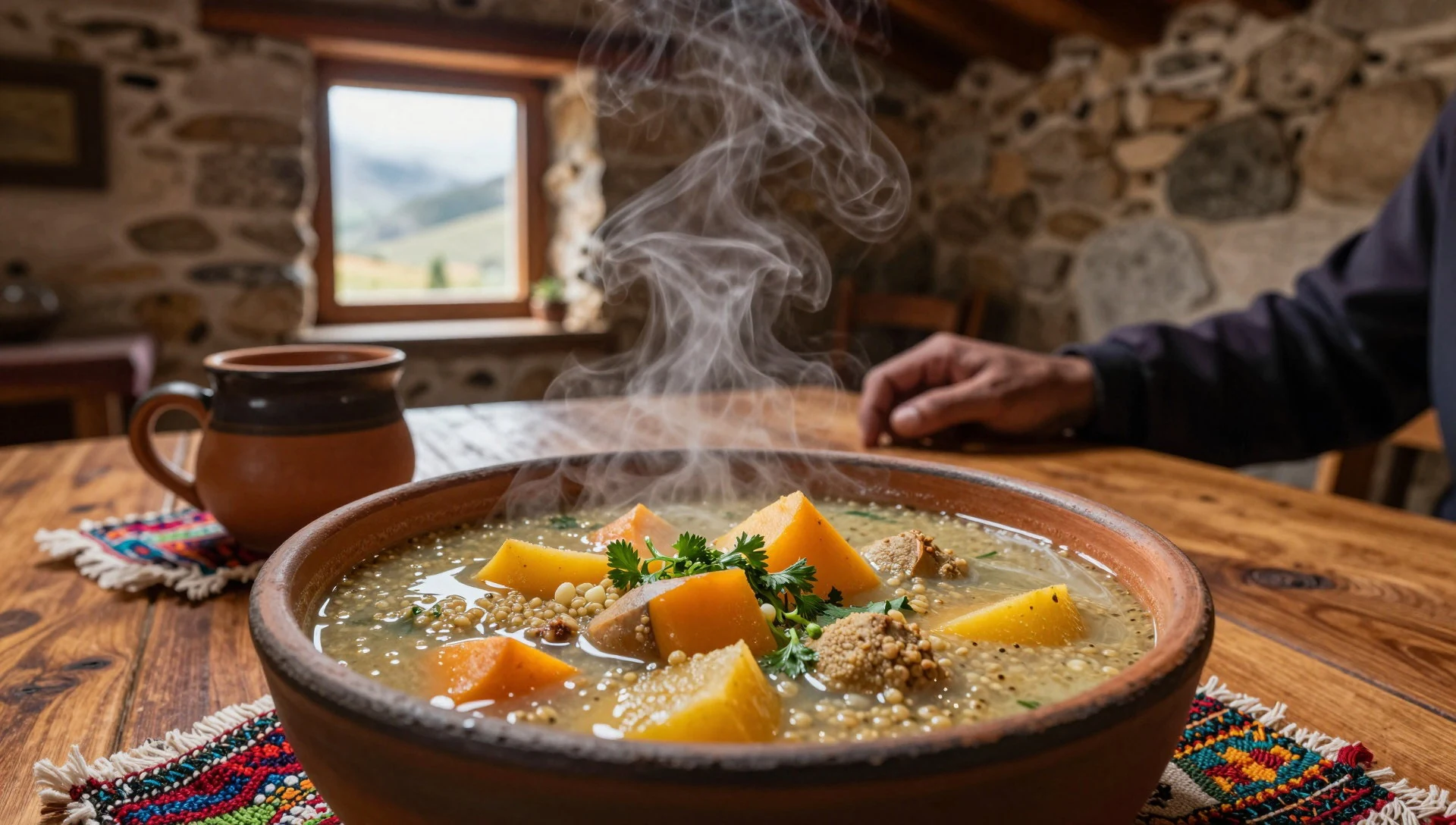
- Dried Llama Jerky (Ch'arki) — Rural community markets and local trading stalls
Traditional salted and sun-dried camelid meat, often shredded and added to stews or served alongside boiled potatoes and native corn varieties during long journeys across the southern department.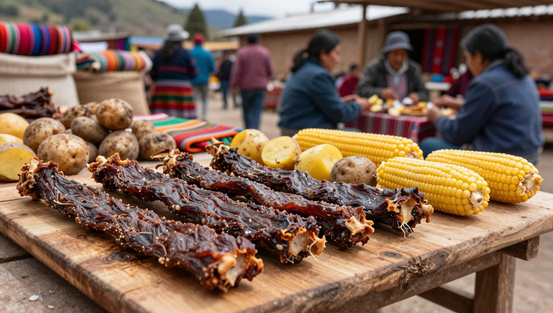
- Andean Potato Stew — Traditional family kitchens and small town eateries
A comforting dish featuring native potato cultivars grown at high altitudes, simmered slowly with garlic, onions, and local ají peppers to provide sustaining warmth after a cold day exploring the reserve. - Maca Infusion — Morning market stalls and mountain rest stops
A hot, malt-like herbal drink brewed from the nutrient-dense roots of the maca plant, traditionally consumed across the high plateau to boost energy and help the body cope with thin mountain air.
Plan it
Best time. March to April and October to November offer the clearest weather and more manageable temperatures, avoiding the freezing winter gales and summer rains.
How long. 2–3
Getting there. Fly into Uyuni Airport, then arrange a 4x4 expedition across the southern altiplano tracks to reach the remote reserve.
Budget. mid
Tips
- Acclimatise to high elevation in lower Andean towns before attempting the journey
- Bring strong UV protection including polarised sunglasses and heavy sunscreen
- Carry cash in local currency for reserve entrance fees and basic supplies
- Pack multiple layers of thermal clothing for extreme temperature drops
Etiquette
- Ask permission before photographing local residents or herders
- Respect protected wildlife areas by staying on established tracks
- Carry all personal rubbish out with you to preserve the pristine environment
Nearby
Sources
- Wikidata Q1062100 (CC0)
- Wikipedia (CC BY-SA 4.0)
- Wikivoyage (CC BY-SA 4.0)