Kuélap
Kuélap, Peru
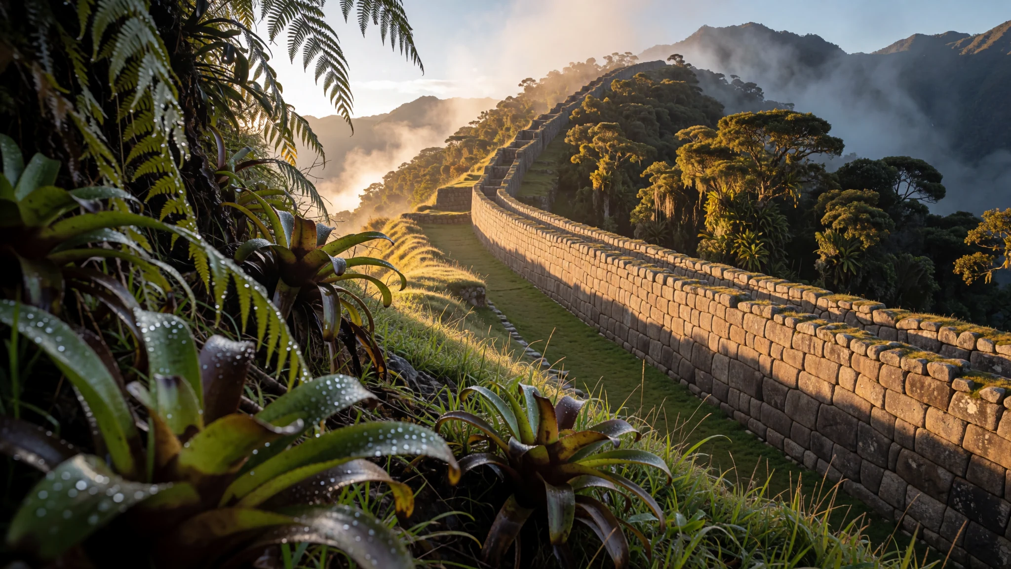
A walled hilltop settlement built by the Chachapoyas culture, reached by cable car or a long walk, set in Peru's cloud forest above the Utcubamba Valley.
The place
Kuélap, sometimes written Cuélap, is a walled settlement in the mountains of northern Peru, close to the towns of María and Tingo in the southern part of the Amazonas region. The Chachapoyas culture built it on a limestone ridge overlooking the Utcubamba Valley. At roughly 3000 metres, the site sits on the left bank of the Utcubamba River, and its stone walls run along the ridge for a long way. It is a long journey from the big cities of the coast, and the approach itself sets the mood.
The ridge lies in cloud forest, where the trees are draped with orchids and epiphytes. The protected zone covers 218.33 hectares, and a wider buffer zone of 609.67 hectares takes in about twelve archaeological sites alongside the main fortress. Most of what stands today is the great enclosing wall and the dense group of buildings it holds. The sheer size of the walled area makes the place feel closer to a town than to a single shrine.
Getting a sense of the site is easier from the outside first. Walking up from Tingo takes a couple of hours and is very scenic, and the path gives views of the walls long before the entrance. Kuélap is still a working archaeological site, and authorities have been carrying out emergency conservation, so expect some areas to be restricted. Check the official site before you go.
Its story
Kuélap was first occupied in the 5th century AD, but most of its structures went up between 900 and 1100 AD, when the settlement may have held about 3000 people. The city was abandoned in 1570 after the Spanish conquest. Over the following centuries its buildings deteriorated, and tree roots spread through the stonework until the ruins were largely hidden by vegetation.
The site was accidentally rediscovered in 1843 by Juan Crisóstomo Nieto, a judge from Chachapoyas. Antonio Raimondi surveyed it in 1870, and Charles Wiener visited in 1881. Later scholars, among them Ernst Middendorf, Adolf Bandelier, Henry and Paule Reichlen and Arturo Ruíz, studied the ruins. In 1939 the French general Louis Langlois wrote a detailed description of the main buildings. Excavation and research have continued since the 1980s.
Since 2013 the site has shown a series of structural problems, and in April 2022 a section of the perimeter wall collapsed. The Ministry of Culture teamed up with experts from Peru and abroad to start urgent preservation work and scientific studies aimed at stopping more structures from falling and identifying what triggered the failures. The story of the stonework is therefore still being written, both in the past and in the present.
What to see
- The perimeter wall — the outer enclosure of the fortress
The enclosing wall is the first thing most visitors notice. Its eastern facade rises above the approach and gives the site its unmistakable outline on the ridge. Stand back on the path below to see the full line of the wall against the sky, and look for sections that have been repaired since the collapse of 2022.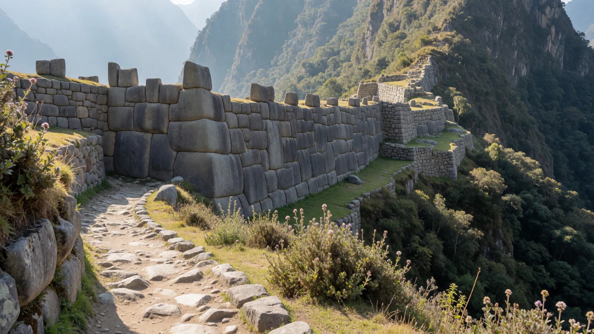
- El Tintero — near the centre of the fortress
El Tintero is a religious construction near the centre of the fortress. Its interior is open and largely empty, so the building reads more as a sculpted space than as a room full of objects. It is a good place to pause and consider how the settlement was laid out around open areas like this one.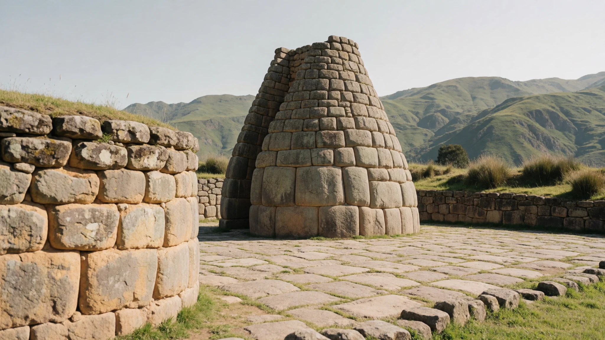
- Carved stonework — among the buildings inside the walls
Some of the stones on the fortress carry decoration, and this carved block shows the care that went into the masonry. Look closely at the faces and joints of the blocks as you walk, because the surface texture changes from one section to the next. Keep your hands in your pockets and admire the work from a short distance.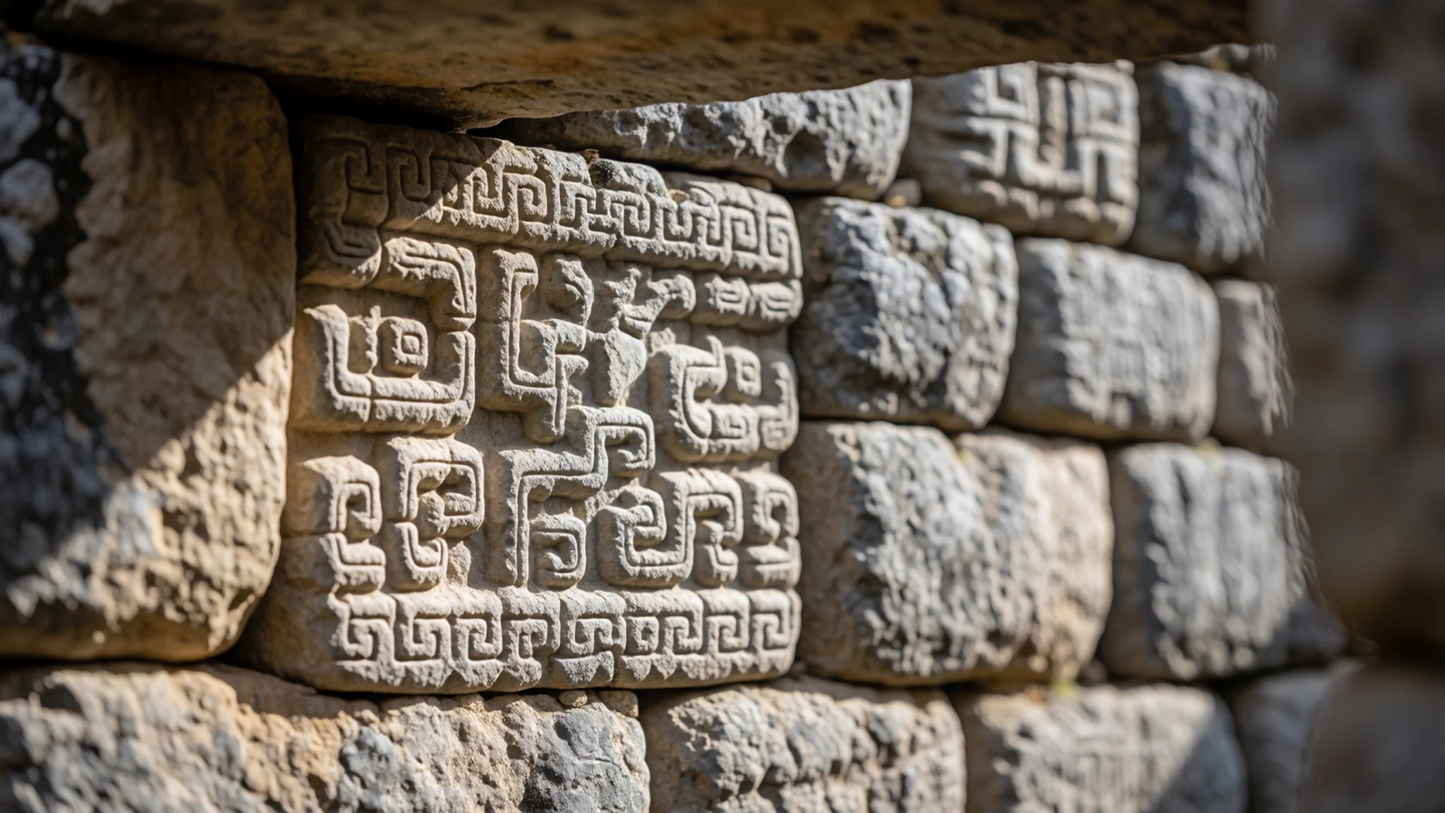
- The cable car approach — the valley side below the ridge
A cable car, called the teleférico, carries visitors up towards the ruins, and the ride gives a high view over the valley and the forested slopes. The climb is far shorter than the walk from Tingo. Ask about current operating times before you travel, as these can change with maintenance and conservation work.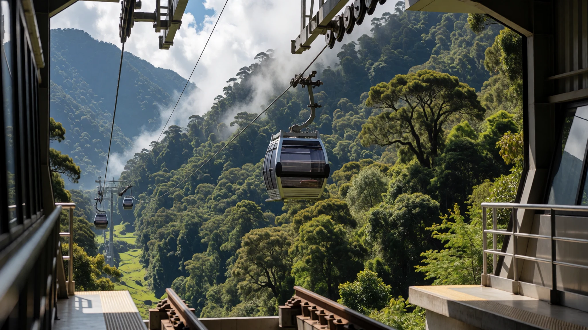
- Ruins inside the walls — the interior of the fortress
Once inside, the ruins spread out in a loose arrangement of stone structures, with grass and low plants growing between them. Walk slowly and stay on the marked paths, because footing can be slippery in damp weather. Allow a good part of the day, since the scale of the site takes time to take in.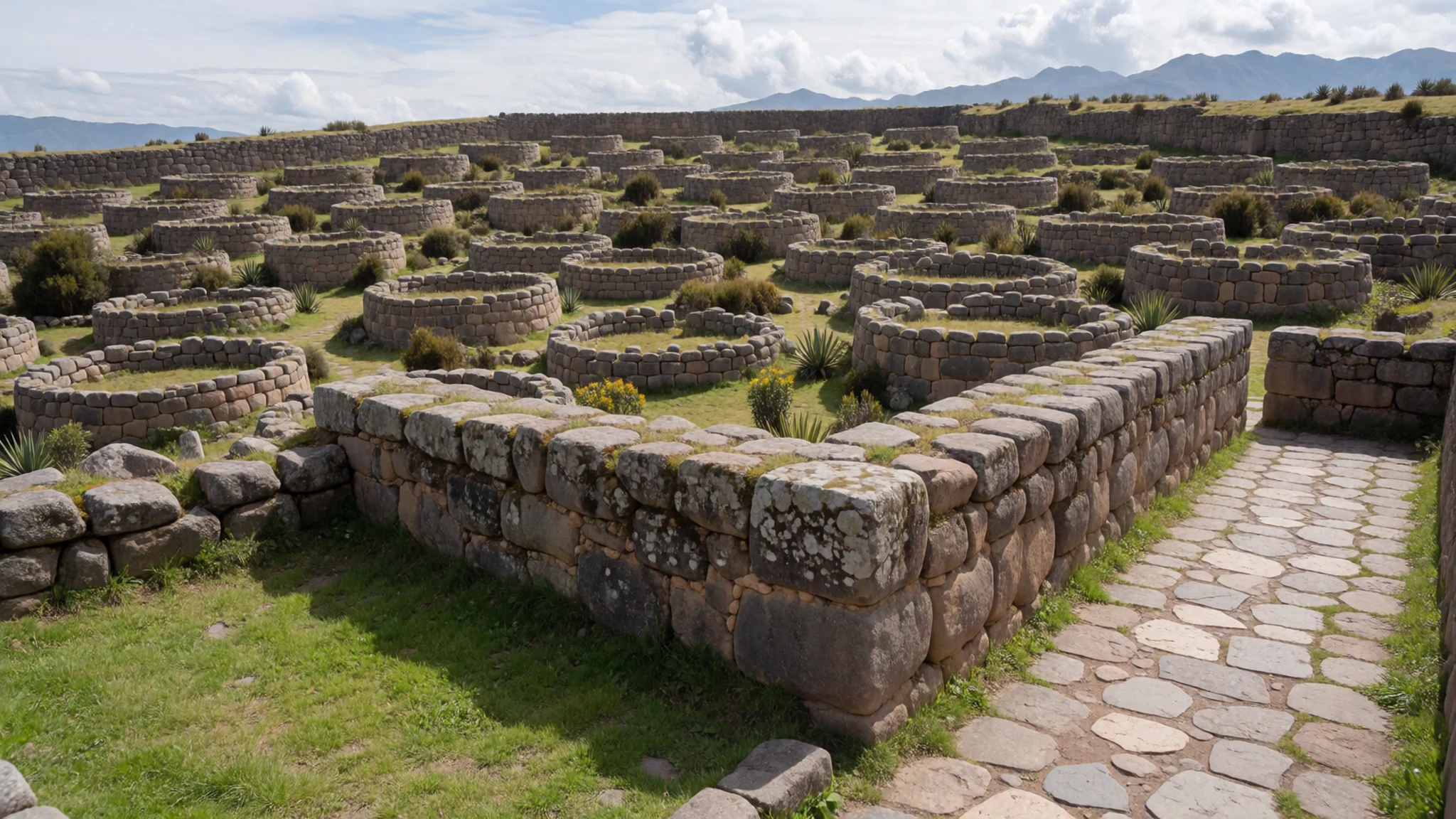
Culture
Kuélap is a fragile archaeological site rather than a place of worship, so the etiquette here is about protecting old stone. Conservation work has been under way since part of the perimeter wall collapsed in 2022, and you may pass scaffolding, fenced paths and closed sections. Keep to the marked routes, and do not climb on walls, sit on carved blocks or lean against stonework. Photography for personal use is generally fine, but ask before photographing people, particularly anyone working on the site or in the villages you pass on the road up. Take your rubbish back down with you, and speak quietly around the ruins. The stone is more fragile than it looks, and the ridge is exposed to rain and wind, so take your time. Respect every barrier and closed section, even where a gap looks passable, because parts of the structure are still unstable.
What to wear
Traditional dress in this part of the Andes is better documented from later highland communities than from the builders of the fortress, so any picture of older clothing is an informed reconstruction. Across the highlands of northern Peru, traditional clothing has been woven from sheep's wool and alpaca fibre. Brightly patterned ponchos, wrapped skirts, knitted hats and shawls are the typical pieces, and many weavers still work on a backstrap loom or a simple frame. Colours and patterns often signal the village a person comes from.
Today most people in Chachapoyas and Tingo wear ordinary western clothes for work and town life. Traditional pieces are kept for markets, festivals and special occasions, and you will see them more often on weekends than on weekdays.
As a visitor, dress in layers. The ridge is cool and can turn damp quickly, so a waterproof jacket and a warm fleece are sensible. Wear shoes with good grip for wet stone and steep steps, and choose trousers or a skirt below the knee for village visits. A sun hat helps on clear days, because the altitude makes the sun strong even when the air feels cool.
What to eat
- Cecina — lunch counters and the market in Chachapoyas
Cecina is thin, salted and dried pork, often cured and then grilled or fried. It is a common dish across Amazonas, and you will find it at lunch counters and market stalls around Chachapoyas. Order it with rice, beans or a simple potato dish.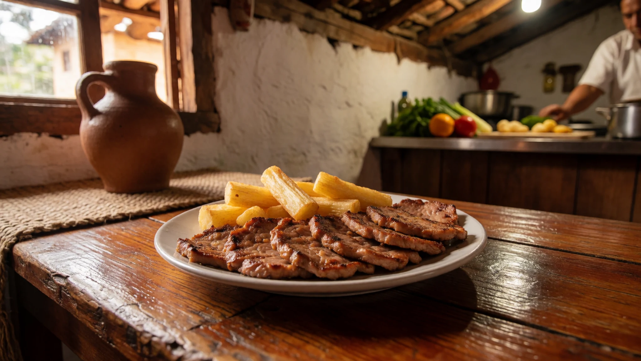
- Juane — Chachapoyas kitchens and festival stalls in the town
Juane is seasoned rice mixed with chicken or egg, wrapped in leaves and steamed. The leaves keep the rice moist and give it a faint herbal scent. It is often made for festivals and weekend gatherings, so ask a cook when they make it.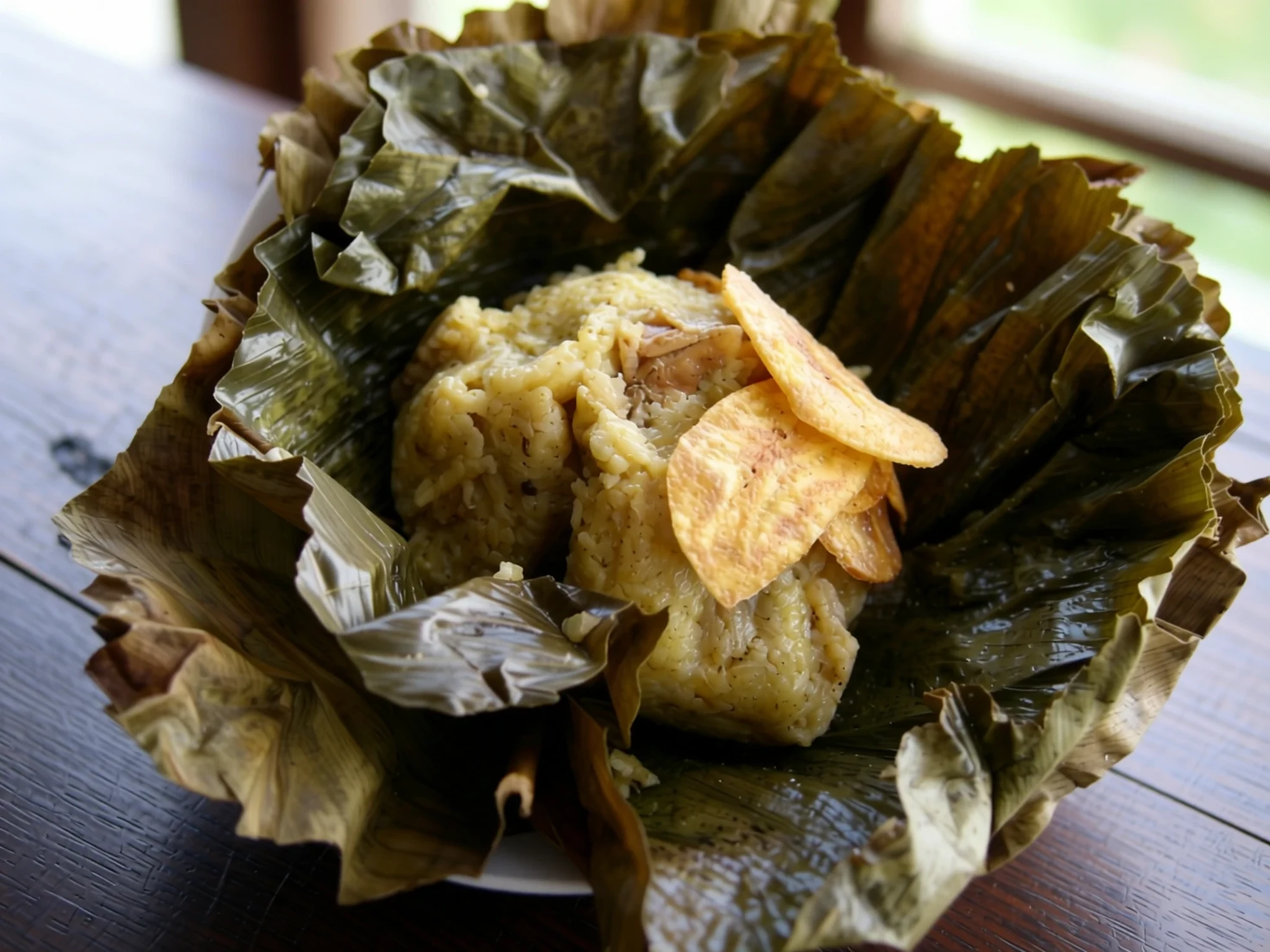
- Tamales — the morning market in Chachapoyas and small stalls on the road from Tingo
Tamales here are corn dough parcels filled with meat, egg or cheese and wrapped in leaves before steaming or boiling. Breakfast versions are common in the highlands. They are cheap, filling and easy to eat on the walk down from the ridge.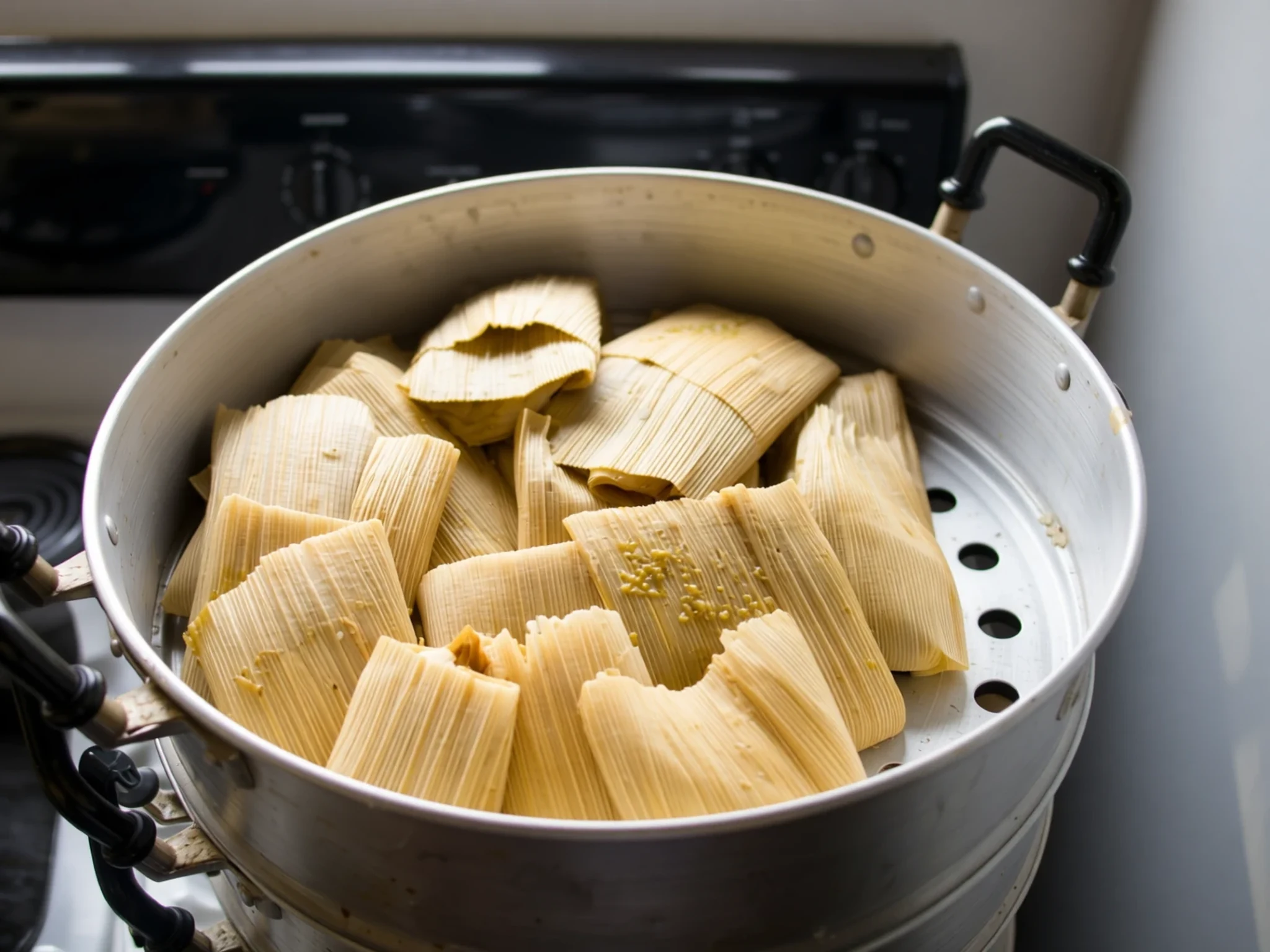
- Highland trout — restaurants in Chachapoyas and along the valley road
Trout from highland streams is a regular feature of mountain restaurants in the region. It is usually fried or grilled whole and served with potatoes, rice and salad. Freshwater fish makes a light, hot lunch after a morning on the ridge. - Chicha de jora — market stalls and village homes around Chachapoyas
Chicha de jora is a mildly alcoholic drink made from fermented maize, a traditional drink across the Andes. Its colour and sweetness vary with the brew, and it is served in simple glasses at market stalls and small homes. Try a small glass only if you are comfortable with it.
Plan it
Best time. June to September is the drier part of the year in the Andes, which makes the walk up and the open views easier. The rainy months bring mud on the paths and mist that can hide the walls for hours.
How long. 1–2
Getting there. Fly or travel by road to Chachapoyas, then take a kombi or taxi from the stations two to three blocks from the main square to the site. Walking up from Tingo takes a couple of hours and is very scenic.
Budget. low
Tips
- Start early, before cloud builds over the ridge
- Wear shoes with grip for wet stone and steep steps
- Carry cash for transport, snacks and small purchases
- Check the official site for current access, since conservation work can close areas
- Bring water and sun protection, because the ridge is exposed
Etiquette
- Keep to marked paths and respect every barrier
- Do not climb on or lean against walls and carved stones
- Ask before photographing people
Nearby
Sources
- Wikidata Q1361820 (CC0)
- Wikipedia: Kuélap (rev 1365247786) (CC BY-SA 4.0)
- Wikivoyage: Kuelap (rev 4682470) (CC BY-SA 4.0)
- Elemaki, Image of the fortress of Kuelap (CC BY-SA 2.5)
- S23678, Eastern facade of the wall surrounding Kuelap (CC BY 3.0)
- S23678, El Tintero on the Kuelap fortress (CC BY 3.0)
- luiluilui, Verzierter Stein auf der Festung Kuelap (CC BY 3.0)
- Josefito123, Teleférico a las ruinas de Kuelap (CC BY-SA 4.0)
- Josefito123, Vista desde el teleférico a las ruinas de Kuelap (CC BY-SA 4.0)
- Josefito123, Ruinas de Kuelap (140016) (CC BY-SA 4.0)
- Josefito123, Ruinas de Kuelap (144824) (CC BY-SA 4.0)


