Kosciuszko National Park
Kosciuszko National Park, Australia
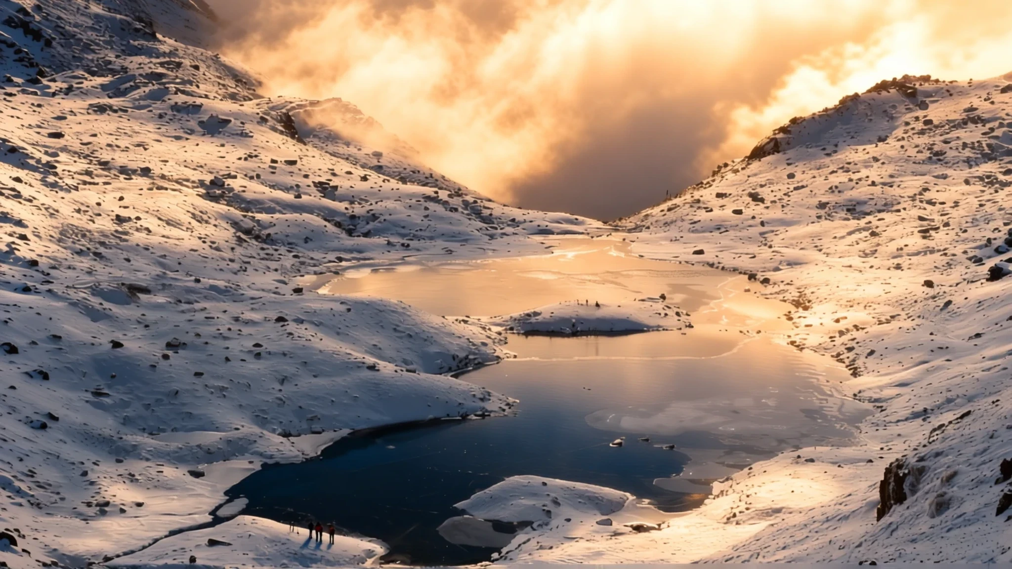
Kosciuszko National Park holds mainland Australia's highest peak, a rugged alpine landscape of snow, glacial lakes and walking tracks within easy reach of Sydney.
The place
Kosciuszko National Park covers 6,900 square kilometres in the south-eastern corner of New South Wales, about 354 kilometres south-west of Sydney. It takes its name from Mount Kosciuszko, the highest peak on mainland Australia, and its boundaries hold a mix of rugged mountains, open plains and wilderness. Much of the high country has an alpine climate, unusual on the mainland, which is why skiers and bushwalkers come here in large numbers. Only the peaks of the main range receive consistent heavy snow in winter, so the lower valleys can be green and dry while the tops stay white for months. Several major rivers rise within the park, including the Snowy, the Murray and the Murrumbidgee. Walkers will find a network of trails through snow gum woodland and across alpine meadows, with the glacial Blue Lake as one of the best-known destinations. The nearest towns, Jindabyne, Cooma and Tumut, sit just outside the boundary and provide most of the accommodation, fuel and supplies. The park rewards planning, because the weather can change quickly and the roads to the snowfields close in bad conditions.
Its story
Aboriginal peoples have lived in the Australian Alps for more than 20,000 years. Each summer, groups from across southern New South Wales travelled into these mountains, drawn by the bogong moths that gathered on the rocky outcrops in great numbers. The moths were a rich food source, and the gatherings brought people together for ceremony and exchange long before any European arrived.
European exploration of the district began in 1835. In 1840 Edmund Strzelecki climbed the highest peak and named it after Tadeusz Kościuszko, a Polish patriot and military leader. The name proved difficult for most Australians to pronounce, and it has remained a small point of conversation ever since.
In the later nineteenth century, stockmen brought cattle up to the high country to graze through the summer, and their huts still stand scattered across the park. Banjo Paterson's poem The Man From Snowy River recalls that world of horsemen and mountain tracks. Today the National Parks and Wildlife Service and volunteer groups such as the Kosciuszko Huts Association look after many of these buildings.
Gold brought miners to the high plains near Kiandra, where a community of about 4,000 people once supported 14 hotels. Skiing in Australia is recorded as starting there around 1861. The last resident left in 1974, and Kiandra is now a ghost town of ruins and old diggings. Attention later moved south to the Main Range, where the modern ski resorts grew up. The park itself was proclaimed in 1944 as Kosciusko State Park and became Kosciuszko National Park in 1967.
What to see
- Mount Kosciuszko — Main Range, reached from Thredbo and Charlotte Pass
The summit is the high point of the Main Range and the highest point on mainland Australia. The walk is not technically demanding compared with the other continental summits, so it draws a steady stream of walkers in summer. The route runs over broad, rocky ground with few shelters, and wind and cold can arrive even on a bright morning. In winter the whole area is buried in snow, and the climb becomes a very different undertaking.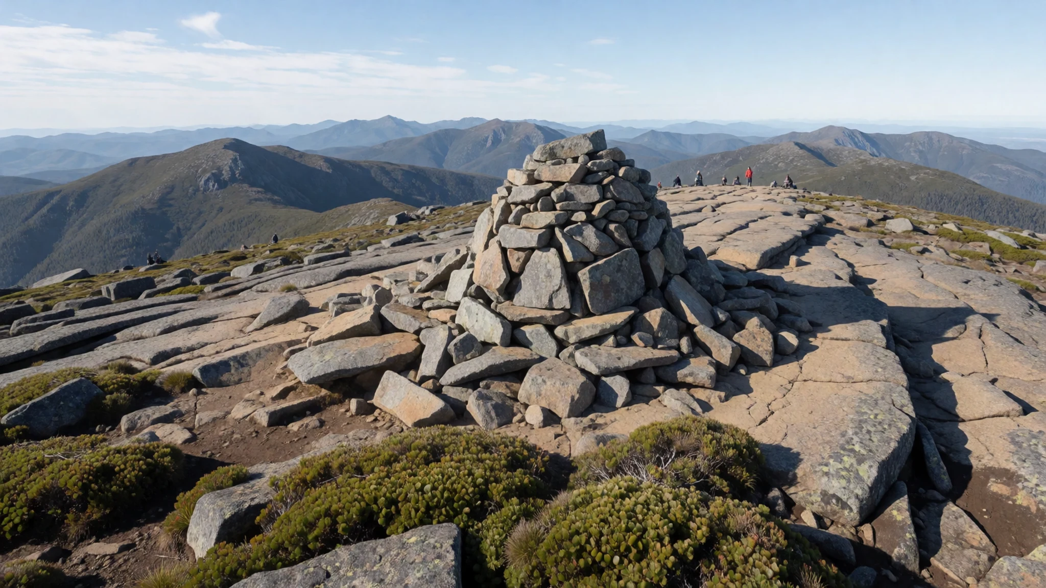
- Blue Lake — Snowy Mountains walking trails, reached on foot
A glacial lake reached by a trail through snow gums and alpine meadows. Many of the plants along the way grow in few other places, so the walk rewards a slow pace and a close look at the ground. The water is cold and clear, and the setting is best enjoyed on a calm day in summer when the meadows are green.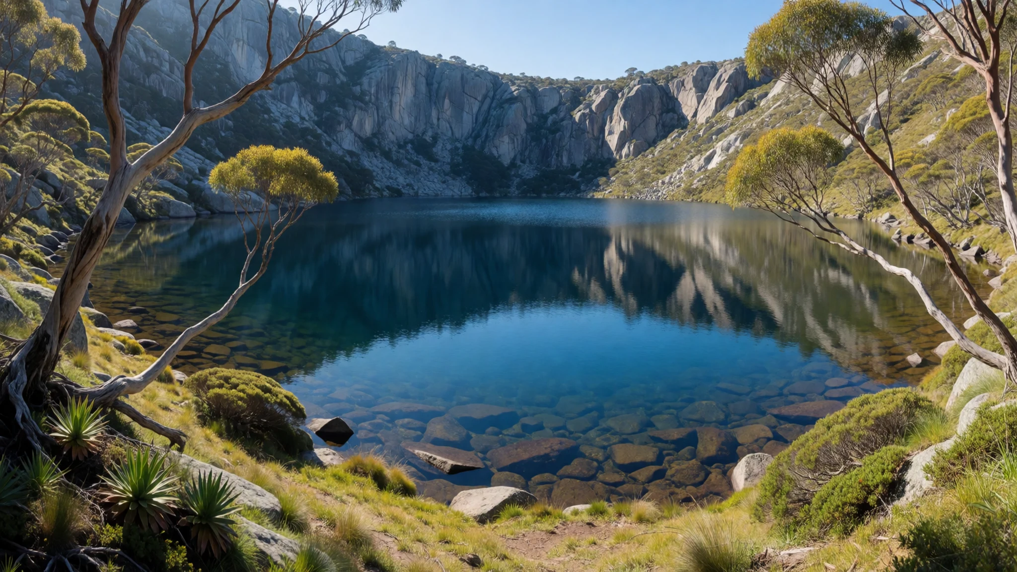
- Charlotte Pass lookout — Charlotte Pass, at the end of the vehicle road above Perisher
A short climb brings wide views over the high country before the longer summit walk. Snow can cover this area for much of the colder months, but the view is worth the stop in summer too, when the rock and grass show their colour. It is a sensible place to check the weather and conditions before committing to the summit route.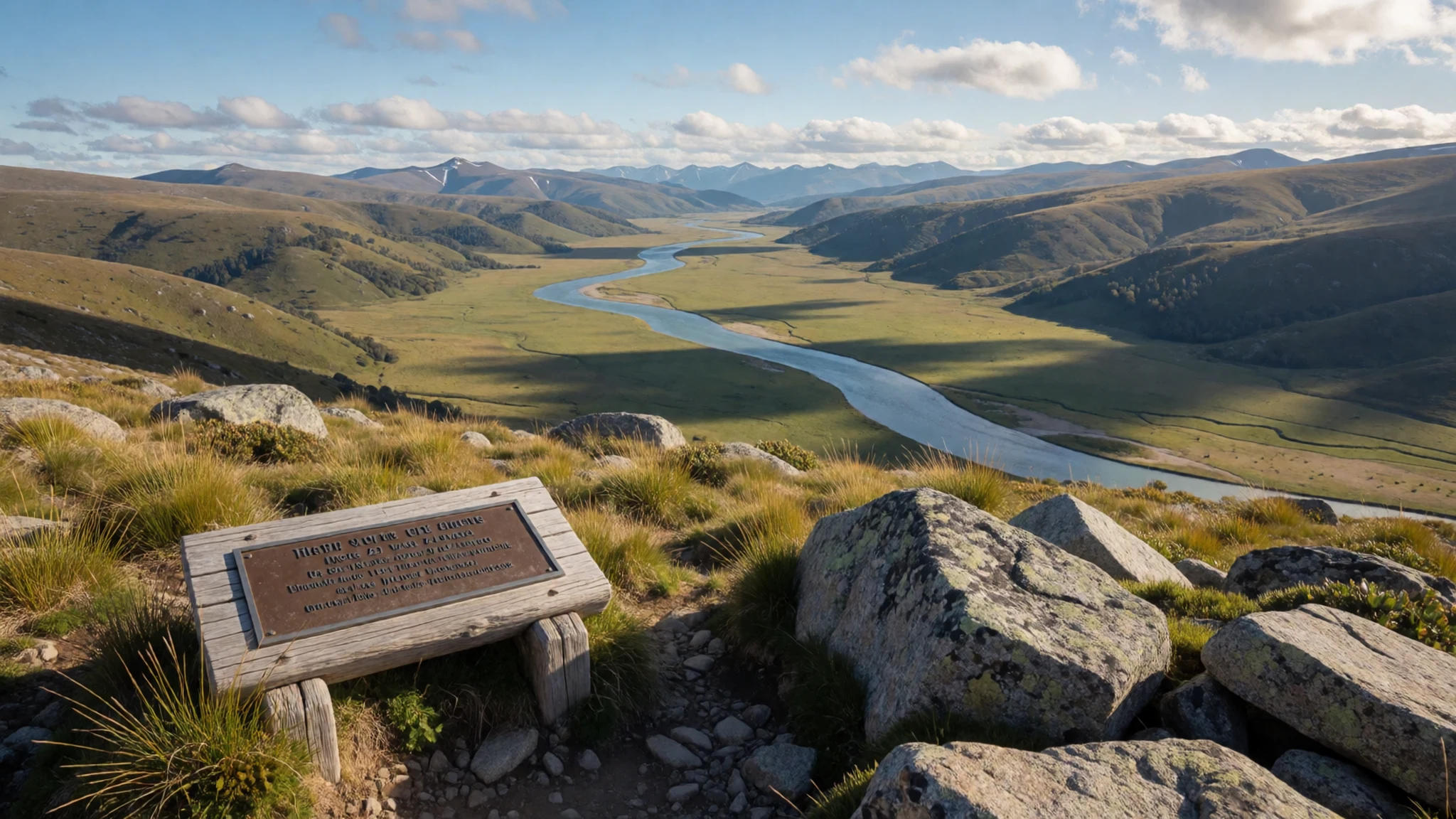
- Thredbo Community Bell — Thredbo village, Thredbo section of the park
Australia's highest bell hangs at about 2,037 metres, just above the village of Thredbo. The summit of Kosciuszko is only about 200 metres higher, so the bell gives a sense of how high the resort already sits. It makes a quiet stop for a photograph, and the village below has cafes and lifts for those who want to go further.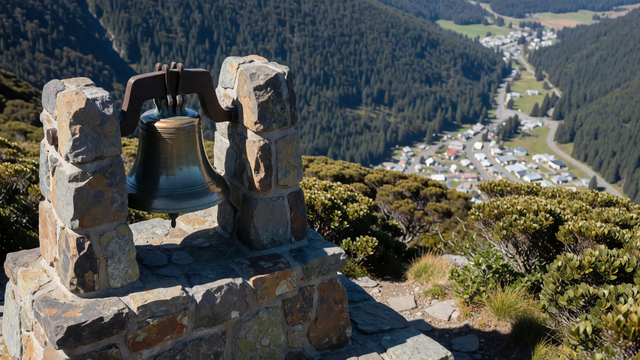
- Kosciuszko Education Centre — Snowy Mountains area, near Jindabyne
The centre explains the wildlife of the Australian Alps, the park's geography and its Indigenous heritage. Hands-on displays and interactive programmes suit families and anyone who wants context before walking. It is a practical place to learn about the landscape before heading onto the tracks, and it is easy to combine with a stop in Jindabyne.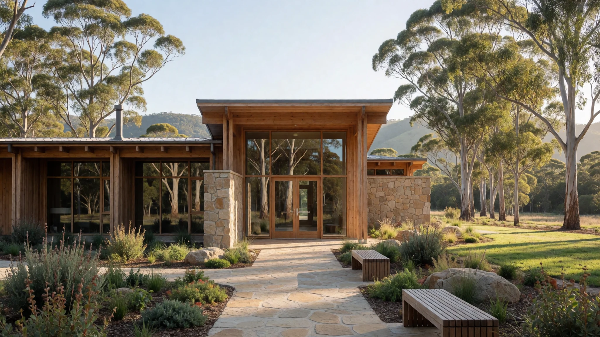
Culture
The high country is cared for by Aboriginal communities whose connection to these mountains runs back many thousands of years, and that heritage is still part of how the park is explained today. The Kosciuszko Education Centre covers the region's wildlife, geography and Indigenous history through displays and programmes, so it is a useful first stop before walking. The name carries a Polish history, and the usual pronunciation, KOZ-ee-USK-oh, is what you will hear at information desks. The mountain huts are working heritage: many were built by graziers, are maintained by volunteers, and are sometimes used by walkers for shelter. Rules on bookings, fires and huts are set by the park authority, so check the official site before setting out. Stay on marked tracks to protect the fragile alpine meadows, leave every hut as you found it, and never take plants or stones from the park.
What to wear
Kosciuszko National Park has no single traditional dress of its own, and little is recorded in detail about clothing in the high country itself. Aboriginal communities across the Australian Alps relied on animal skins and plant fibres for warmth and for making cords and bags. The stockmen who grazed cattle here in the nineteenth century wore wool jumpers, moleskin or canvas trousers and wide-brimmed felt hats, and that rugged working style still appears in the region. Today people wear technical clothing: ski jackets and salopettes in the resort villages in winter, and layered walking gear on the tracks in summer. For a visitor, layers matter more than style. Pack a warm fleece, a waterproof shell and a hat, and bring sunscreen, since the sun is strong at altitude even when the air is cool. Sturdy closed shoes with good grip handle rock and wet meadows far better than sandals, and a beanie is useful even in summer on the tops.
What to eat
- Damper — Campfires at campsites and heritage-style cafes in the towns around the park
A simple bread of flour, water and a little fat, cooked in the coals of a campfire and eaten warm with butter or jam. It is a camp staple that lingers from the stockmen's era. Ask at the cafes in the towns around the park, or look for it at campsites where fires are allowed.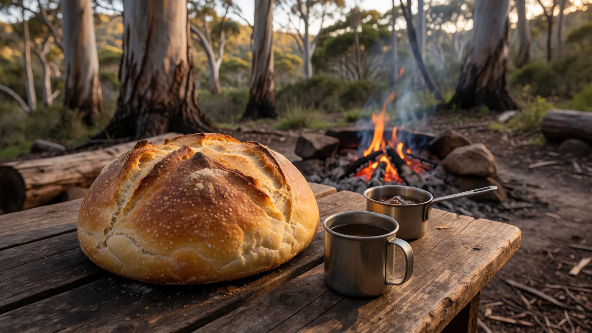
- Meat pie — Town bakeries in Jindabyne and Cooma
A hand-held pie of minced meat in a flaky pastry, often served with tomato sauce. It is the traditional quick lunch for walkers heading out for the day. Bakeries in the main streets are the easiest place to pick one up before setting off.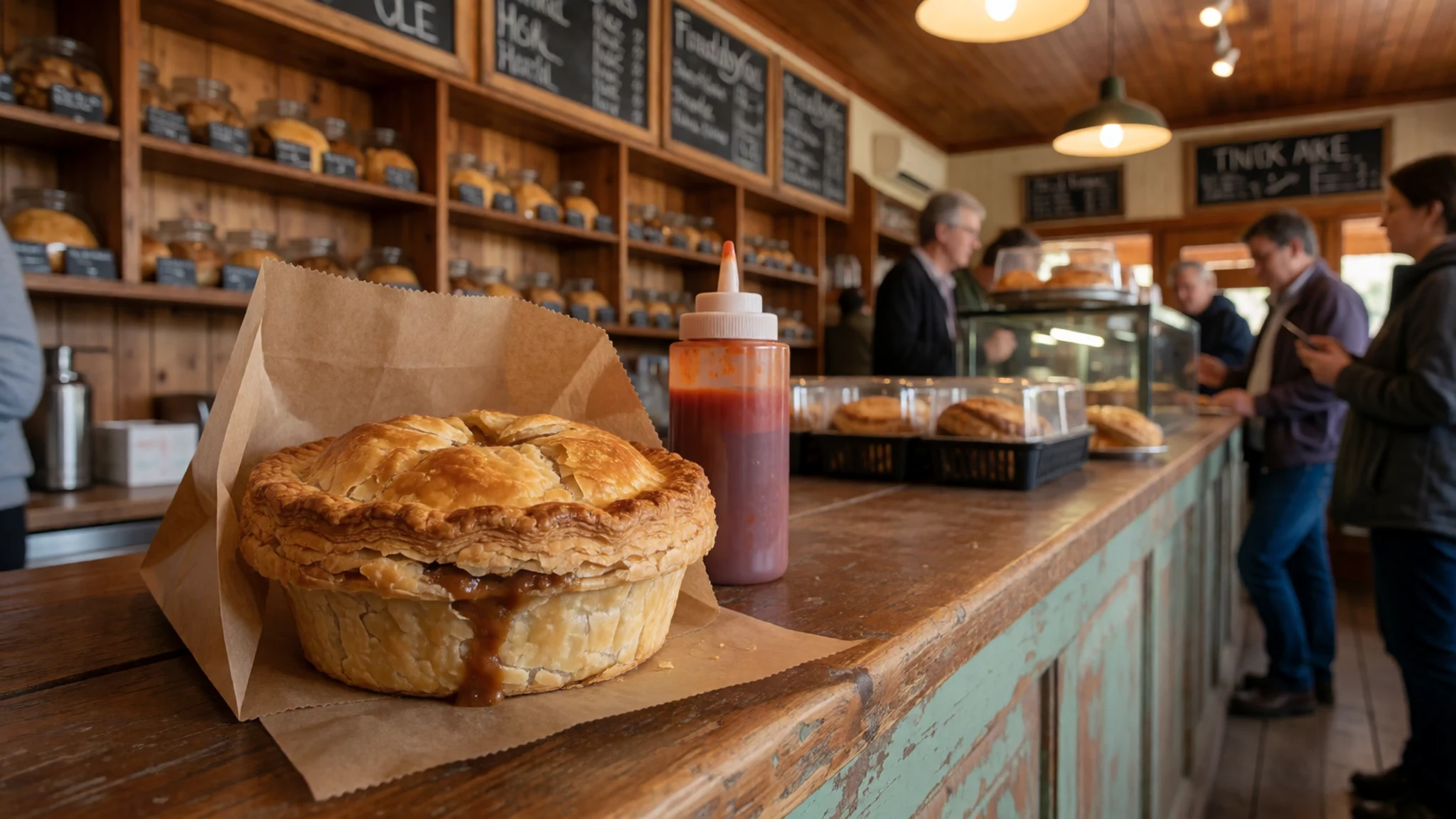
- Coffee and a simple lunch — Cafe beside the Snowy Region Visitor Centre, Jindabyne
A cafe beside the Snowy Region Visitor Centre serves coffee and straightforward lunch food. It suits a stop before or after a visit to the education centre, and it is a practical base for planning your route. - Lunch above Thredbo — Eagles Nest restaurant, Thredbo
The Eagles Nest restaurant claims the highest restaurant in Australia, at about 1,937 metres. The view across the valley is the main draw, so book ahead in the snow season. Expect a higher price than in town, and dress warmly for the outdoor terraces. - Lake trout — Lakeside eateries around Lake Jindabyne
Trout from Lake Jindabyne is a fresh, mild fish often grilled simply with lemon. It is a good option after a cold day outdoors. Lakeside eateries around the lake are the natural place to find it.
Plan it
Best time. December to March suits walking and open tracks in the high country, while June to August is the season for snow and skiing on the main range. The alpine climate means the tops can be cold and windy at any time of year, and winter nights are far below freezing.
How long. 3–4
Getting there. Canberra and Sydney are the main airports for the region. From either city you drive to Jindabyne or Cooma, then take the Alpine Way towards the Thredbo and Perisher sections of the park.
Budget. mid
Tips
- Book accommodation in Jindabyne or Thredbo well ahead for the snow season
- In winter, carry snow chains; non-4WD vehicles must carry them even when the road is clear
- Start walks early, as the afternoon weather on the tops can change within hours
- Carry cash as well as cards, and expect patchy mobile signal in the high country
- Carry plenty of water and sun protection, because the sun is strong at altitude
Etiquette
- Stay on marked tracks to protect alpine meadows
- Leave huts clean and take all rubbish out
- Do not feed or approach wildlife
Nearby
Sources
- Wikidata Q1755161 (CC0)
- Wikipedia: Kosciuszko National Park (rev 1372644992) (CC BY-SA 4.0)
- Wikivoyage: Kosciuszko National Park (rev 5352581) (CC BY-SA 4.0)
- Mount Kosciuszko with snow (CC BY-SA 4.0)
- The Snowy River near Charlotte's Pass (CC BY-SA 4.0)
- Kiandra carnival 1900, Charles Kerry (Public domain)
- Cabramurra, July 2011 (CC BY 3.0)
- Blue Lake, Kosciuszko (CC BY-SA 4.0)
- Snow Gum on the Dead Horse Gap Walk (Public domain)
- Map of Kosciuszko National Park (Stevage) (CC BY-SA 4.0)
- Thredbo River, Crackenback (CC BY-SA 1.0)


