Kluane National Park and Reserve
Kluane National Park and Reserve, Canada
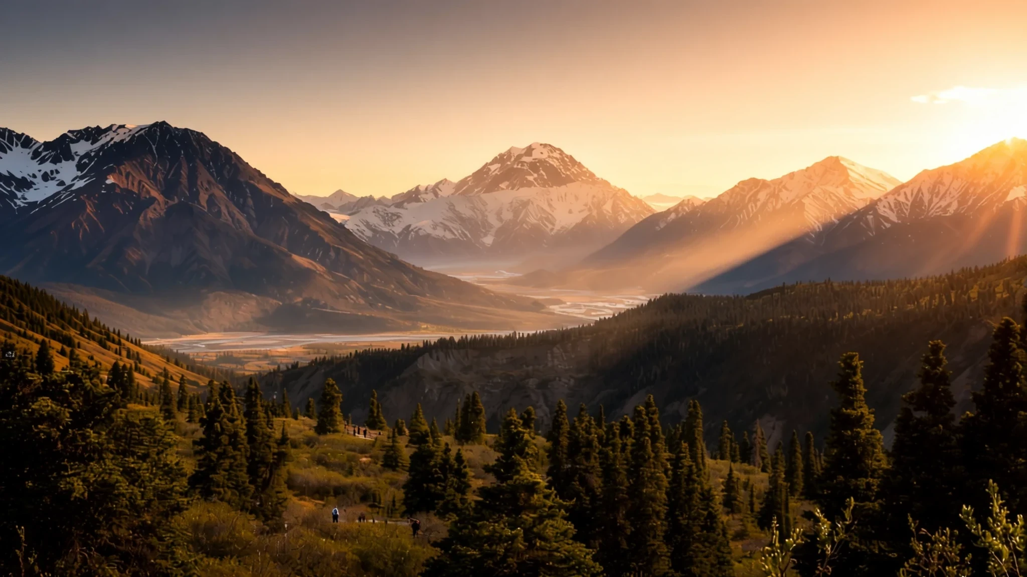
Glaciers, Canada's highest peak and a vast wild interior, best reached by road from Whitehorse.
The place
Kluane National Park and Reserve occupies the south-west corner of Yukon, the Canadian territory that lies between British Columbia and Alaska. It is two protected areas in one. The eastern portion, about 5,900 square kilometres, became a national park in 1993 after land agreements with the Champagne and Aishihik First Nations, and it is run jointly with Parks Canada. The larger western section was set aside in 1972 and remains a reserve while a final land claim with the Kluane First Nation is settled.
Ice dominates the landscape. Glaciers and mountains cover about 83 per cent of the park, and the Saint Elias Mountains hold Mount Logan, at 5,959 metres the highest peak in Canada. Trees grow only at the lowest elevations, mostly white spruce, balsam poplar and trembling aspen. East of the highest ice the land turns to forest and tundra, which is colder and drier than the western and southern parts.
Most of the interior stays out of reach for ordinary visitors. Access is generally by flightseeing, or by serious mountaineering and ski expeditions. The park is better approached along its edges, through the Haines Junction area, where the Alaska and Haines highways run beside the boundary. Kathleen Lake is the main day-use hub, with a boat launch, picnic ground and campground.
Its story
The story of Kluane is one of land claims as much as ice. The area was set aside in 1972 as a reserve, a holding status meant to become a national park once agreements with the region's Indigenous peoples were in place. Those agreements took time. The Champagne and Aishihik First Nations and the Kluane First Nation both have long ties to this country, and their final agreements with the federal government set out their rights to harvest here. The eastern block became a national park in 1993. The western half still waits on the Kluane claim, which is why the park carries two names in its formal title.
The park later joined a wider conservation story. In 1979 it became part of a bi-national World Heritage listing, grouping Kluane with Wrangell–St. Elias, Glacier Bay and Tatshenshini-Alsek across the Canada and United States border. These parks share their icefields, and the same ranges that shaped the boundary lines also make the area hard to cross on foot.
Public attention has followed at intervals. In 2011 a short film for the National Parks Project was shot here, directed by Louise Archambault. In August 2013 Robert F. Kennedy Jr. visited to see Mount Kennedy, a peak named as a memorial to his uncle, President John F. Kennedy. These are small footnotes, but they show how the park has entered wider public memory.
What to see
- Mount Logan — Saint Elias Mountains, within the western Reserve
Mount Logan is Canada's highest mountain, at 5,959 metres (19,551 feet), and it rises in the Saint Elias Mountains. Few visitors climb it. The routes cross glaciers and demand expedition skills, cold-weather kit and careful planning. Even from the valleys the peaks look immense, and a flight over them is the easiest way to grasp the scale. On many days the summit stays hidden in cloud.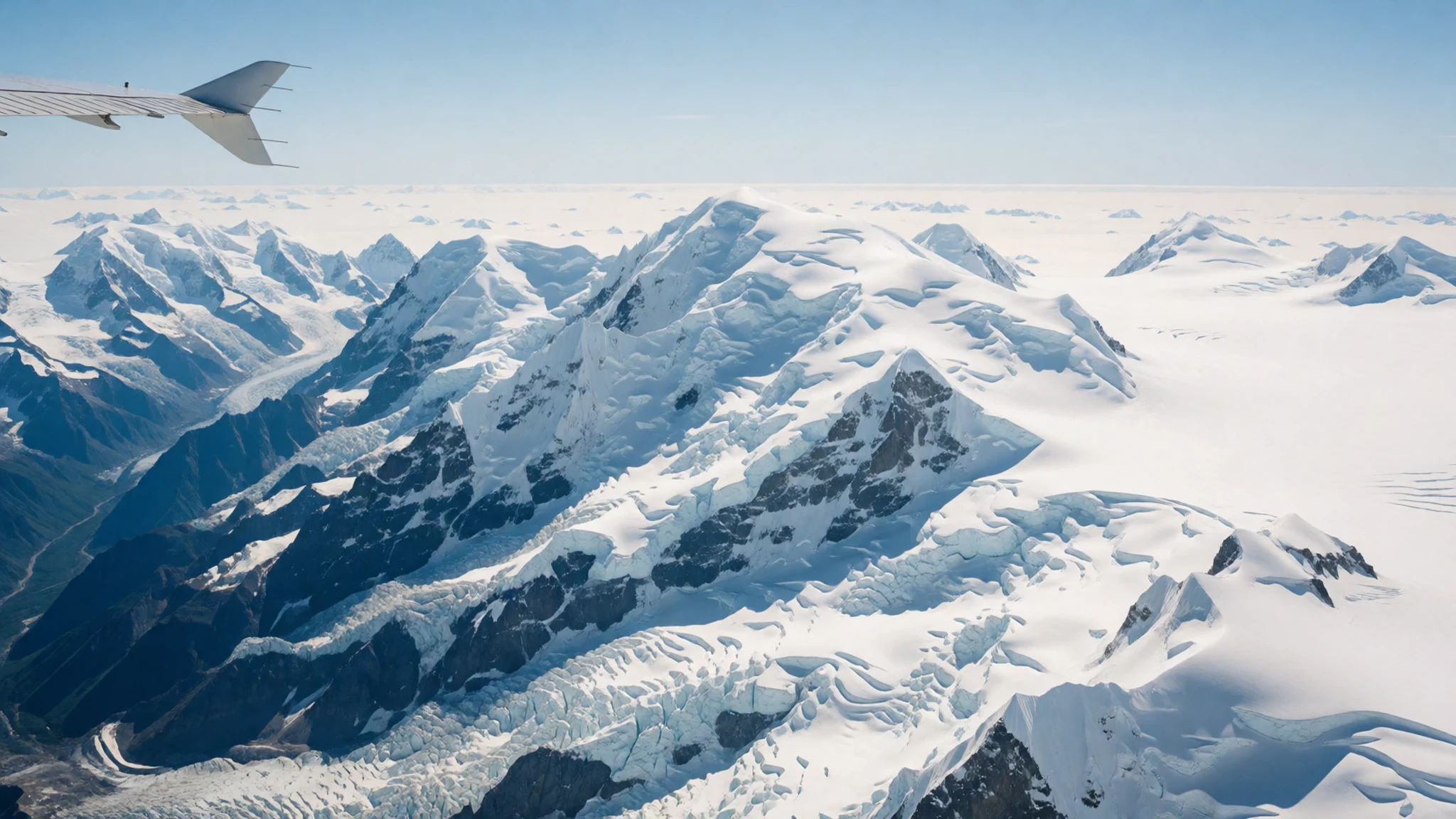
- Flightseeing over the icefields — Interior icefields, reached by air from the Haines Junction area
Several local companies run flightseeing trips that carry visitors deep into the park's interior. From the air you see the Icefield Ranges, with Canada's highest peaks and largest icefields spread below. Flights depend on the weather, so keep a spare day in your plans. Choose an established operator and check current prices directly with each company.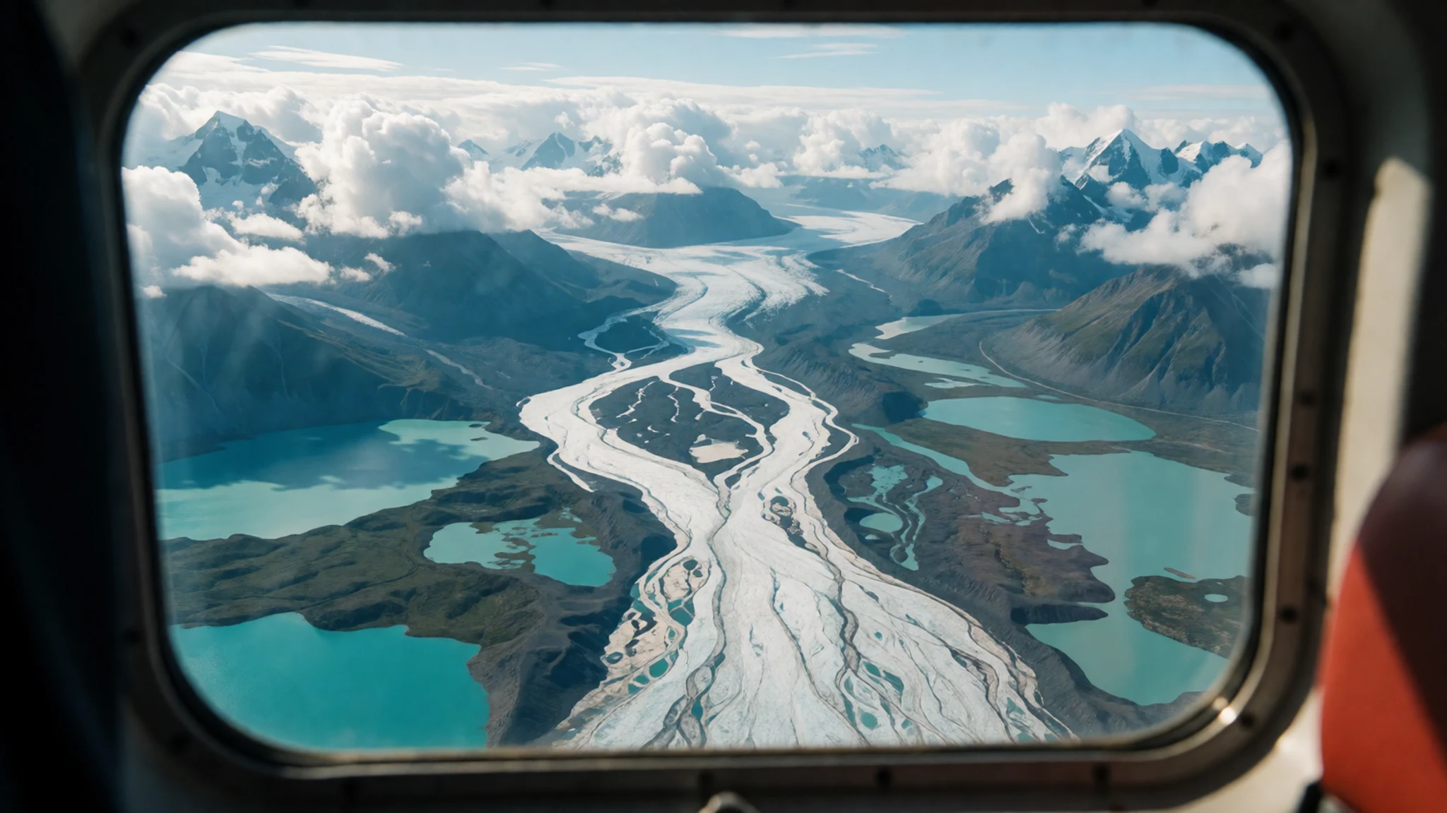
- St Elias Lake and the hiking trails — Trailheads reached from the park's main road access
St. Elias Lake is among the park's best-known hikes, and it sits alongside trails such as Cottonwood, Rock Glacier and King's Throne. Routes range from short valley walks to longer multi-day outings. Carry a map, water and warm layers, because the open ground offers little shelter. Bear awareness matters on every trail.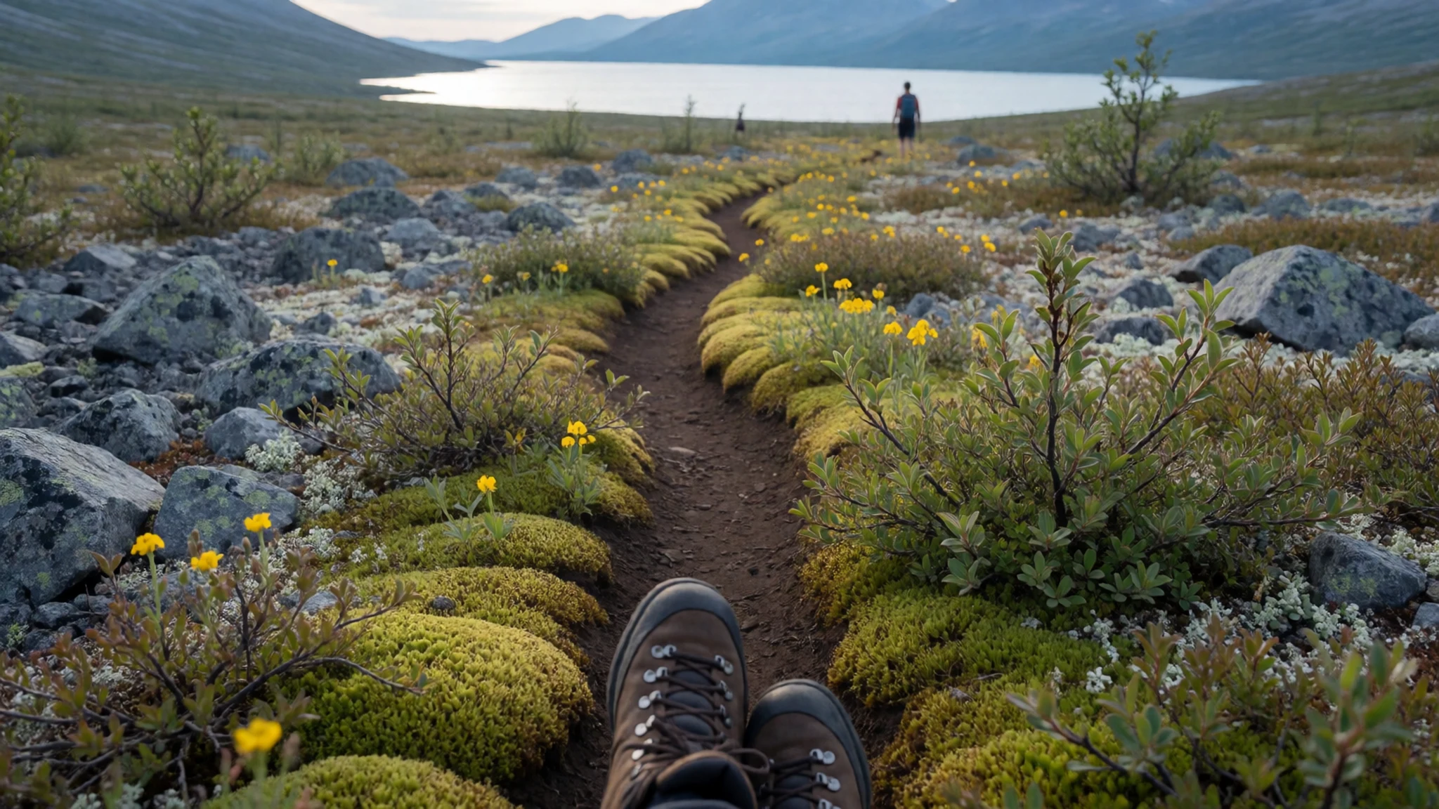
- Kathleen Lake — Kathleen Lake, reached by road into the park
Kathleen Lake is the park's main day-use area, with a boat launch, picnic facilities and a campground. The campground is primitive and has no showers. The day-use area runs from mid-May to mid-September. Boating is popular here, and anglers fish for lake trout, Arctic grayling and rainbow trout. Pack out everything you bring in.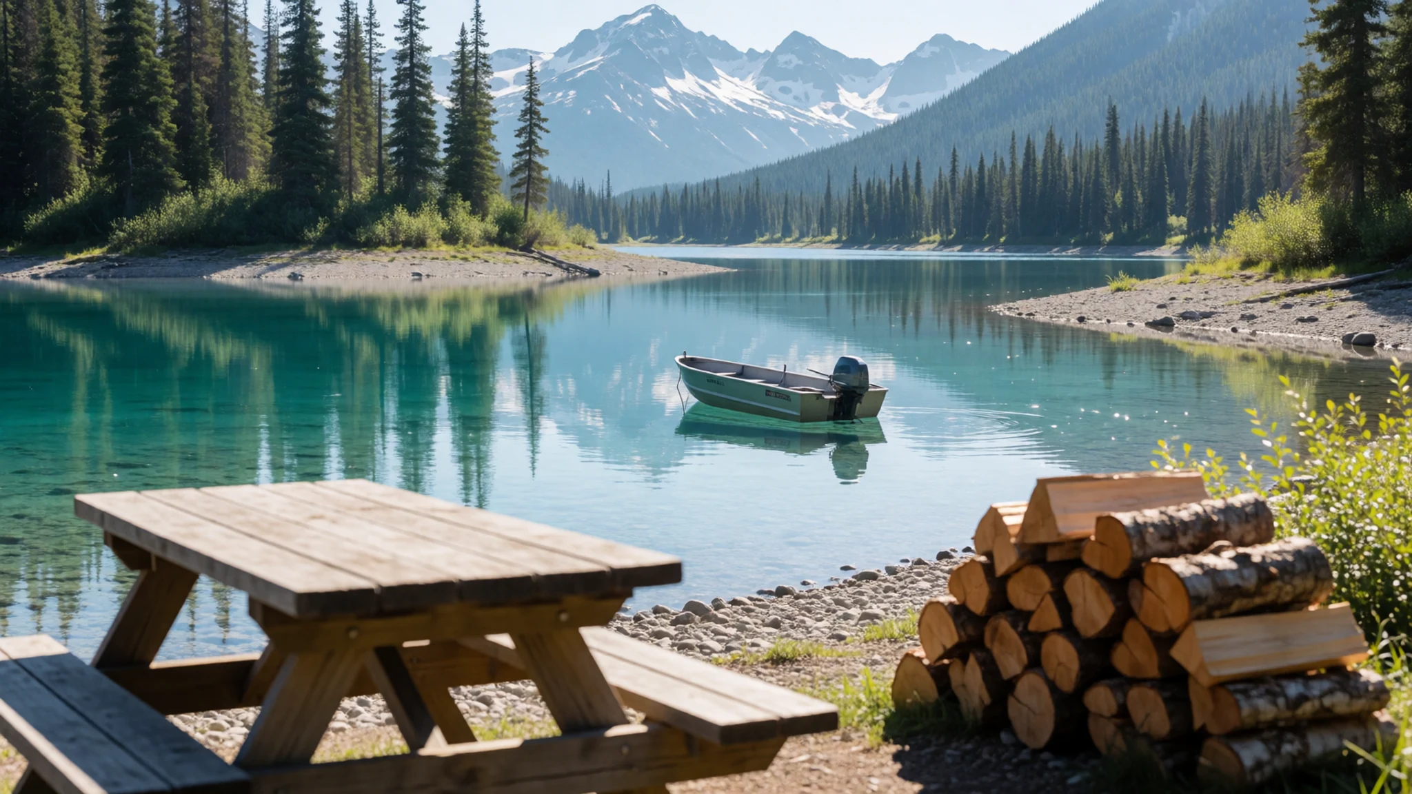
- Slims River valley — Eastern edge of the park, beside the Alaska Highway
The Slims River valley lies along the park's eastern edge, close to the Alaska Highway. Trails such as Slims West give walkers a way into the wider landscape, and the valley offers an early look at the park's glacial terrain. The ground is open and exposed, so bring water and check trail conditions before setting out.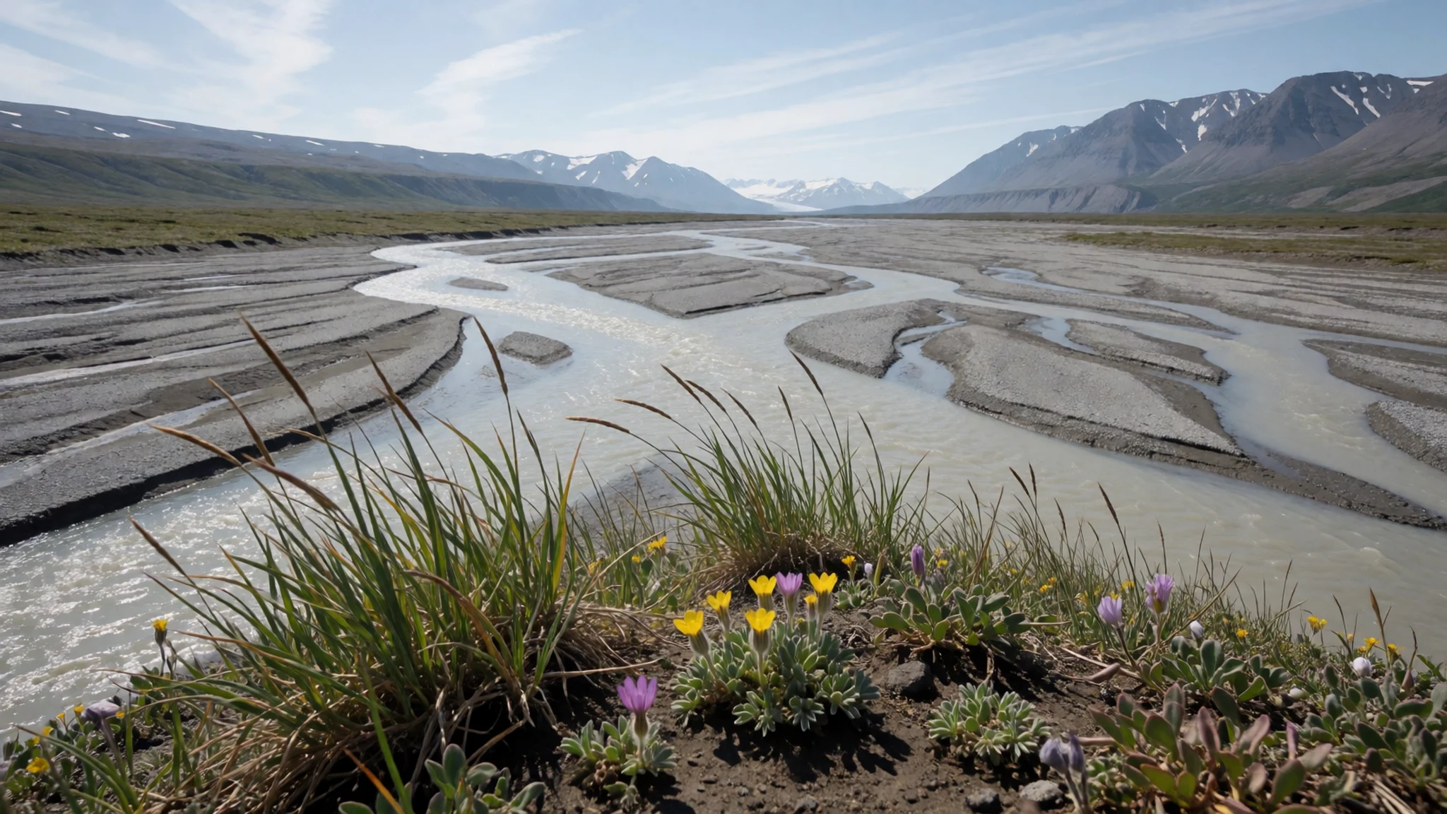
Culture
Kluane sits on the traditional lands of the Champagne and Aishihik First Nations and the Kluane First Nation, whose final agreements with the Canadian government set out their rights to harvest here. Those rights are part of everyday life on the land, not only a heritage story, so treat hunting, fishing and gathering by local people as their ordinary work rather than a tourist attraction. Conversations with community members are welcome, but ask before photographing people or their homes. The park is wild, and bears and other wildlife share the valleys with walkers, so guidance asks visitors to keep their distance at all times. Campfire permits and backcountry permits apply in parts of the park, and rules change, so check the official site before you leave. Store food and rubbish out of reach at every camp, and never approach an animal for a photograph.
What to wear
Traditional dress in this part of Yukon belongs to the Champagne and Aishihik and Kluane First Nations. The brief holds no detailed record of their garments or textiles, so this section stays general. Across the subarctic, clothing was traditionally made from animal hides and furs, sewn with sinew and often decorated with beadwork. These pieces were practical as much as ceremonial, and they were worn when the season and the work demanded them. Ask a cultural centre or community member before assuming any particular style is yours to wear.
Today most people in Haines Junction and Whitehorse dress much as people do across northern Canada: waterproof jackets, fleece layers, work trousers and sturdy boots.
For a visit, pack layers. Summer days can be warm, but nights and high ground turn cold quickly, and rain or sleet can arrive in any month. Bring a waterproof shell, a warm mid-layer and a hat. Sturdy boots with good grip handle moraine, scree and wet riverbeds, and sandals are useful at camp. Insect repellent and a head net matter in summer. Modest dress is not required in the park.
What to eat
- Lake trout and Arctic grayling — Lakeside campsites at Kathleen Lake
Anglers in the park's lakes and rivers catch lake trout and Arctic grayling, and a fresh catch is cooked simply over a fire or on a camp stove. Season the fish with salt, wrap it in foil with butter and herbs, and cook it through. Fishing needs the right licence and follows set rules, so check the official site before you go.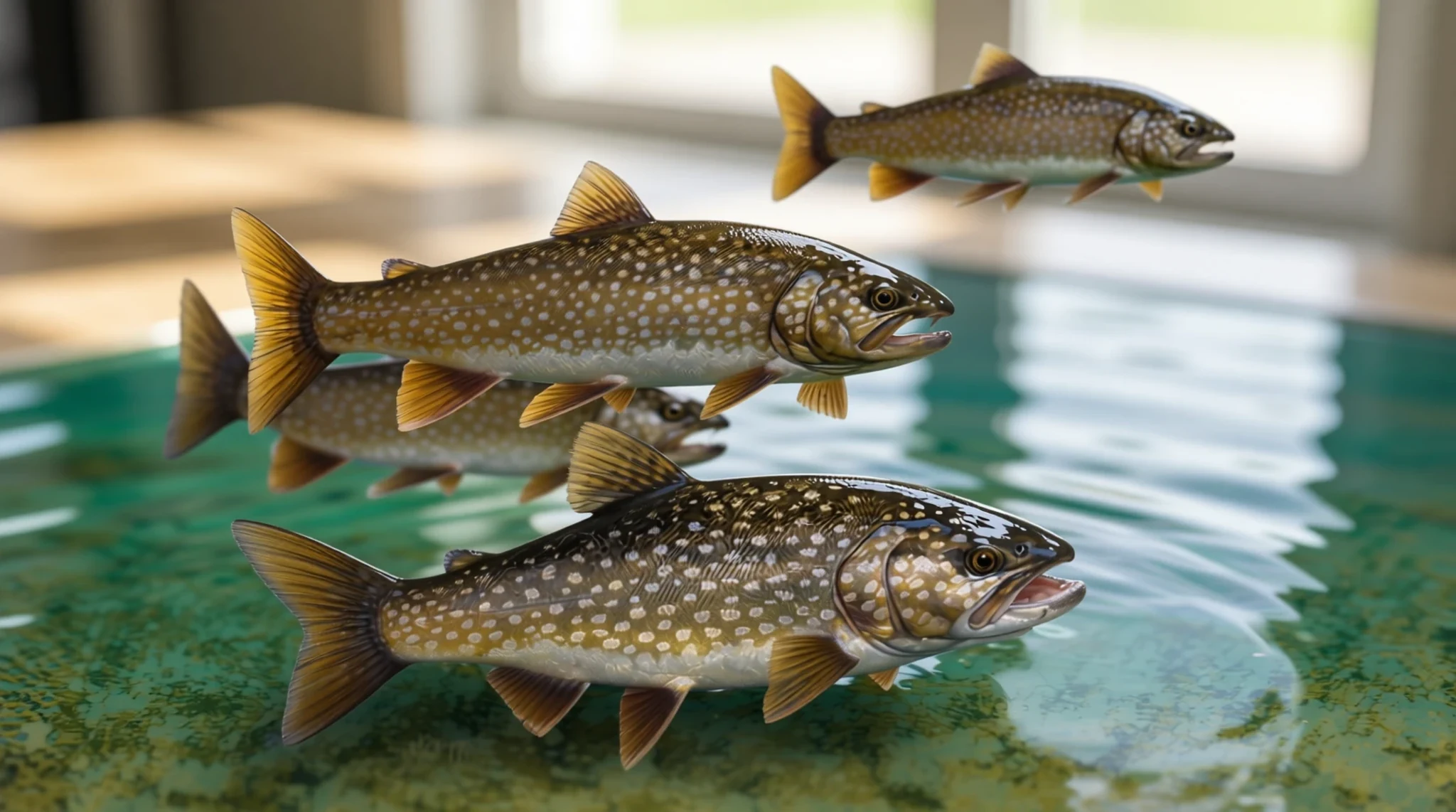
- Sockeye salmon — Eateries and smokehouses in Haines Junction, the base town
Sockeye salmon is on the region's fishing list, so a local kitchen may serve it grilled or smoked. Its rich, firm flesh suits simple preparation with lemon and dill. Ask staff whether the fish is local and when it was caught before you order.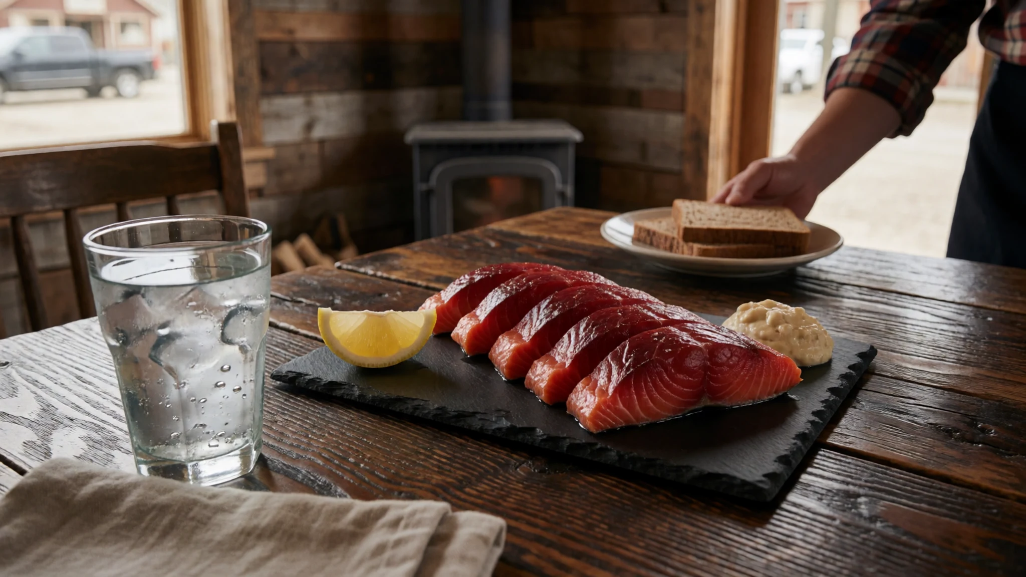
- Camp chilli and one-pot stews — Campsites at Kathleen Lake and along the trails
Camp chilli with beans, rice or lentils cooks in one pot and reheats well after a long day. Carry tins of tomatoes, onions and spices, and add pasta or potatoes for weight. Keep cooking and washing well away from tents, and pack out all leftovers. - Hot oats and eggs for the trail — Early-morning camps and the first meal on the trail
Porridge with dried fruit, nuts and a little sugar makes a sensible start before a long walk. Scrambled or fried eggs work well on a stove when the morning is cold. Pack oat sachets or powdered milk to keep the weight low, and drink plenty of water.
Plan it
Best time. June to August is the warmest stretch, with the trails and roads open and the days long. May and September are cooler, with snow possible at altitude, and the Kathleen Lake day-use area runs only from mid-May to mid-September. Mountain weather changes quickly in any season, so plan for both sun and cold.
How long. 3–4
Getting there. Fly into Whitehorse, which has daily flights from Vancouver, then drive about 160 km west on the Alaska Highway to Haines Junction. Most of the park is reached on foot, by raft or on skis.
Budget. mid
Tips
- Book flightseeing early and keep a spare day in case the weather closes in
- Fill up with fuel in Whitehorse or Haines Junction, because distances are long
- Carry cash for small services outside the main towns
- Check the official site for current fees, permits and campground details before you travel
Etiquette
- Store food and rubbish securely to avoid attracting bears
- Get campfire and backcountry permits before you set out
- Keep your distance from wildlife and stay on marked trails
Nearby
Sources
- Wikidata Q738582 (CC0)
- Wikipedia: Kluane National Park and Reserve (rev 1372342787) (CC BY-SA 4.0)
- Wikivoyage: Kluane National Park (rev 5216028) (CC BY-SA 4.0)
- St Elias Lake, Kluane National Park (Kantokano) (CC BY-SA 4.0)
- Quill Creek, Kluane National Park (Wikibunt) (CC BY 3.0)
- Slim's River valley (Plarmple) (CC0 1.0)
- Alaska Highway, Sims River (Samuell) (CC BY 4.0)
- Alcan Highway, June 1992 (Ron Clausen) (CC0 1.0)
- Kluane National Park & Réserve (Films Oiseau de nuit) (CC BY-SA 4.0)
- Black Valley Pass (Anthony DeLorenzo) (CC BY-SA 2.0)
- Camping at Victoria Creek (Anthony DeLorenzo) (CC BY-SA 2.0)


