Khangchendzonga National Park
Khangchendzonga National Park, India
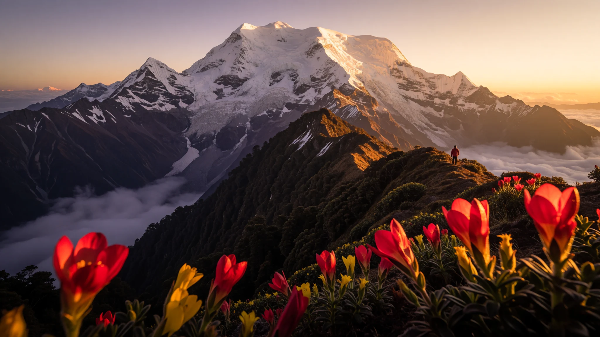
Khangchendzonga National Park is for travellers who want big Himalayan views, rare wildlife, and long glacier-fed valleys in Sikkim.
The place
Khangchendzonga National Park sits in Sikkim, India, inside the wider Khangchendzonga Biosphere Reserve. It’s named after Kangchenjunga, the massive mountain that anchors the area and is strongly tied to the park’s identity. The landscape is rugged and vertical, with routes and viewpoints that feel closer to the sky than typical trekking country.
The park is designated a UNESCO World Heritage Site (a mixed heritage listing), which matters here because the “heritage” is not just scenery. The protected area spans a huge elevation range, from mid-mountain trekking country up into the high glacial zone. That wide climb creates very different worlds over short horizontal distances: forests and river valleys at lower levels, then thinner air, rock, and snowfields higher up. Even when the weather closes in, the contours and the way the valleys open up still make it easy to understand why people come for the mountain views.
Operationally, the park is remote by Indian standards. You’ll base yourself in towns around Sikkim and then follow trekking corridors toward passes and vantage points. This is the sort of place where you feel time differently: mornings arrive crisp and bright, and evenings can turn cold fast. Expect a trip defined as much by logistics—altitude acclimatisation, trails, guides, and changing weather—as by “seeing” the park.
Crowds are usually modest compared with the most famous Himalayan routes, but popular approach dates can still fill teahouses and require booking for the common trekking circuits.
Its story
Khangchendzonga National Park is the kind of place where the mountain keeps changing its mood. One day it’s a clear outline above a valley; the next day clouds turn the ridges into a moving wall, and you navigate by trail sound and the rhythm of steps rather than distant landmarks. That unpredictability is part of the story—Sikkim’s Himalayan weather can be generous, then suddenly not.
The park’s name is the clue. Kangchenjunga isn’t just “near” the region; it’s central. As trekking routes climb, you start to notice how water and ice shape everything below: streams braid through valleys, and higher up, the glacier-fed character of the terrain becomes obvious in the colour and texture of the river corridors.
The area’s remoteness also shapes the human side of the experience. Instead of quick sightseeing loops, most travellers reach the park through multi-day planning: choosing a trekking circuit, organising permits and guides (where required), and building in time for acclimatisation. In practice, that means the “best” part might not be a single view. It’s often the slow sequence—getting into the rhythm, feeling your legs adjust, sharing tea and space at simple stops, and then finally catching a gap in the weather that gives a proper look at the mountain.
Wildlife sightings are possible, but the park rewards patience more than chasing. Keep an eye on the hillsides and forest edges, and remember that quiet movement matters. The story here is less about ticking boxes and more about learning how this landscape teaches you to travel carefully.
What to see
- Khangchendzonga (Kangchenjunga) viewpoint region — Sikkim (Kangchenjunga area)
Khangchendzonga National Park’s centre is the mountain named in the park’s title. Viewpoint areas in Sikkim let travellers judge the mountain’s scale against valley depth, especially when clouds thin.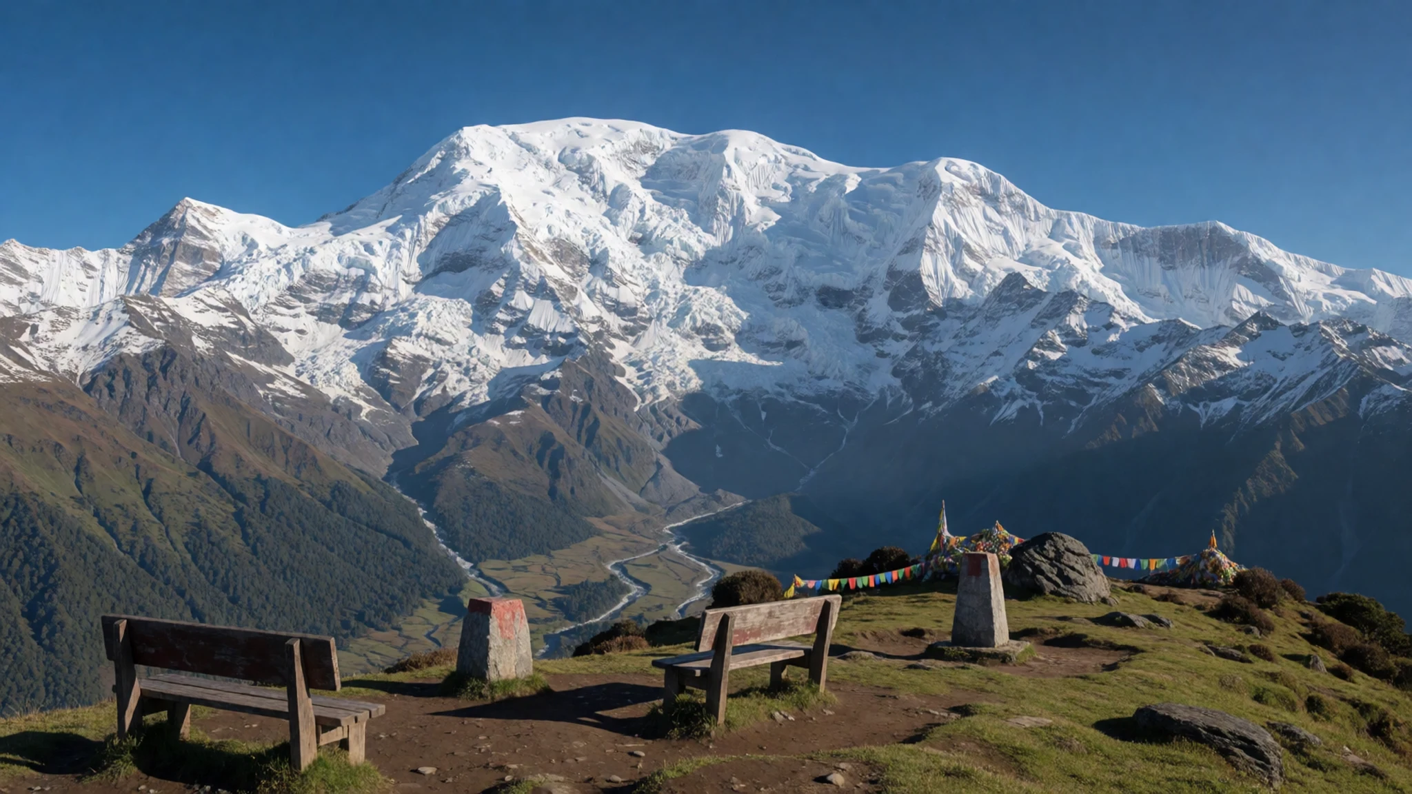
- Goecha la approach and valley views — Goecha la / Lamuney Valley area, Sikkim
In the Goecha la vicinity, trails pass through open valley scenery with long sightlines and river systems below. With clear weather, the ridgelines stack dramatically and the air feels sharper at every step upward.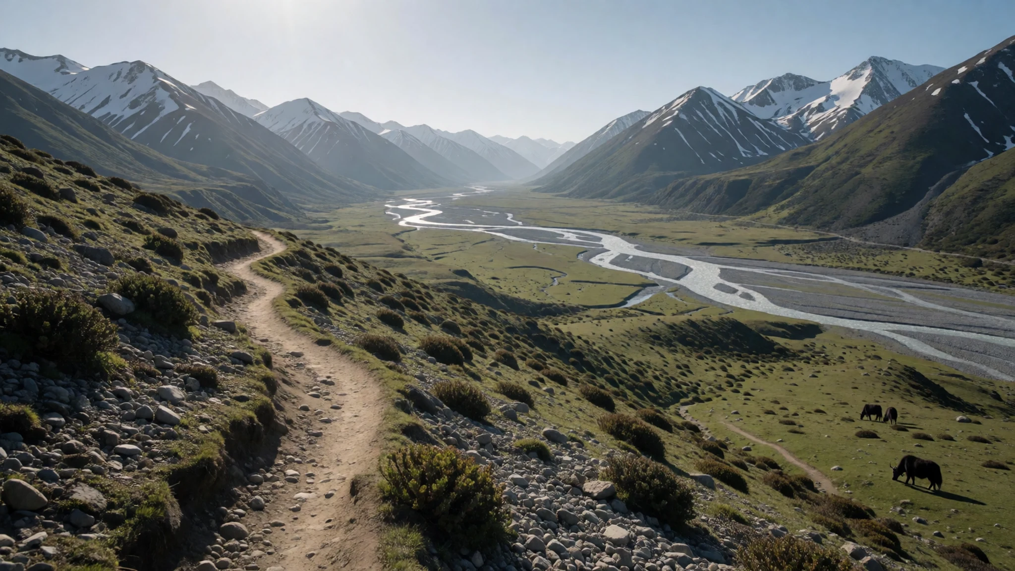
- High-altitude trail scenery — Khangchendzonga National Park interior, Sikkim
At higher elevations the park’s character changes: rock, snow, and sparse vegetation replace the lush lower slopes. Contour and ridge lines become easier to read, even when the sky is mixed with cloud.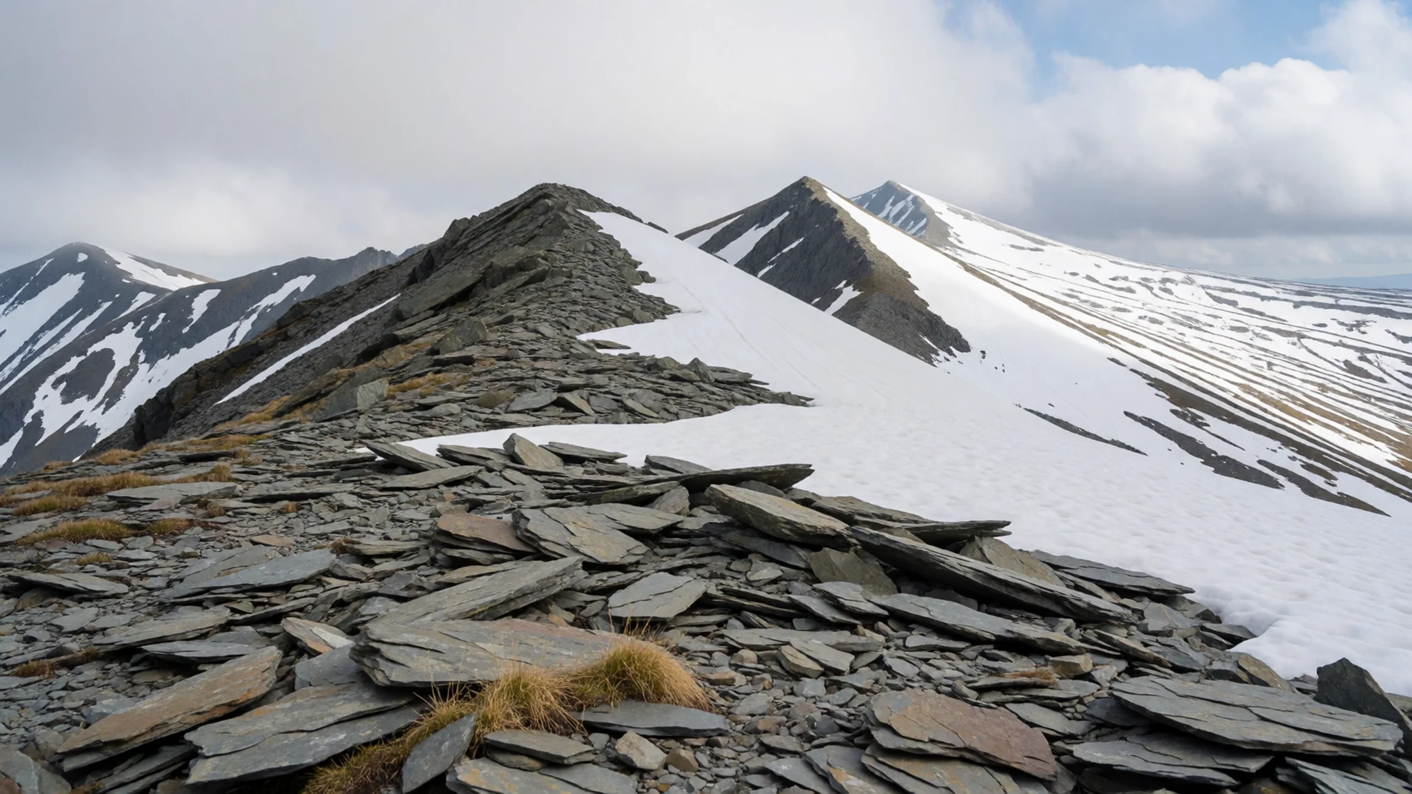
- Rathong river landscapes — River corridors inside the park, Sikkim
Near the trekking corridors, river valleys provide constant texture to the landscape. The Rathong river corridor (and its feeder streams) shows the park’s glacier-connected character, with greenery and stonework along bends.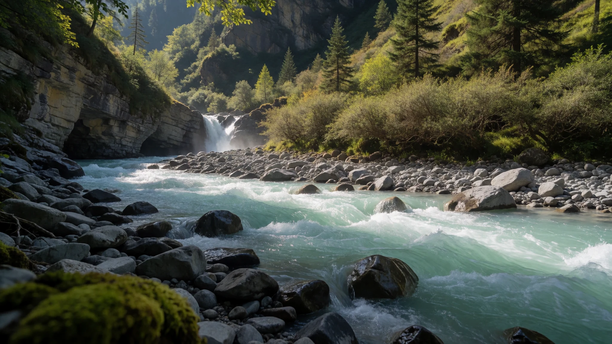
- Altitude herb country — Upper-elevation herb zones on trekking routes, Sikkim
Higher up, vegetation shifts into hardy, medicinal-plant friendly zones. The ground cover changes from forest-like growth to smaller herbs and tough grasses, making close observation worth the effort.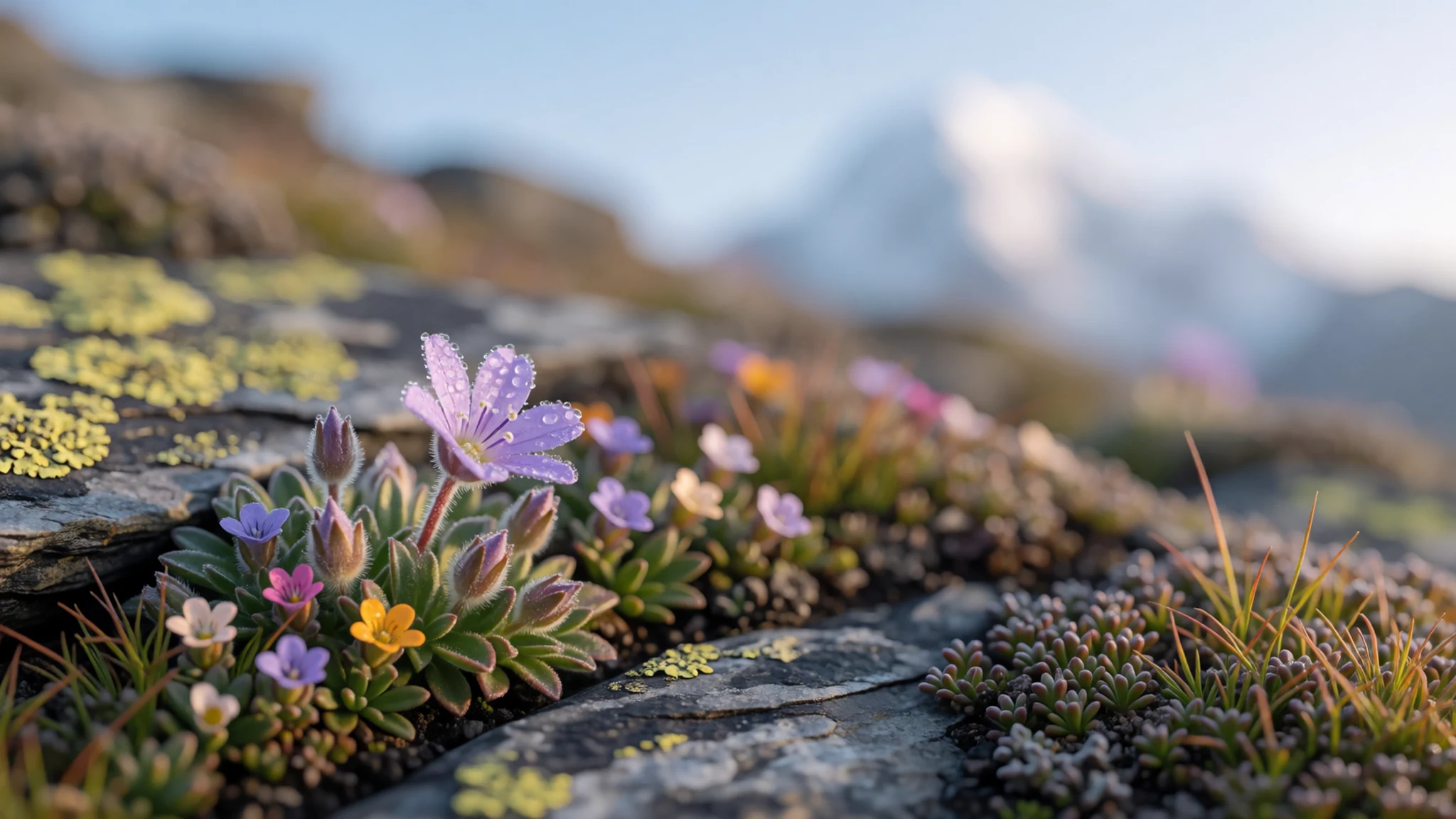
Culture
Khangchendzonga National Park sits in Sikkim, where mountain travel is deeply normalised into daily life, from local tea stops to the way people talk about routes and weather windows. The park’s UNESCO status signals more than landscapes: the protection covers natural habitats across a broad elevation range, including places that support rare plants and animals.
On the trail, the local rhythm is simple. People keep to communal spaces, use practical gear, and move with care around water sources and steep sections. If the trip includes teahouse-style meals, expect basic cooking—warmth and calories matter more than variety.
Crowds are often lighter than on the best-known Himalayan circuits, but the practical crowd is the same: busy mornings at common approach points, queue-like moments for viewpoints, and shared patience when weather slows movement.
Respect also shows up in small choices: keep voices low near prayer settings if you encounter them, and handle local guidance as a kind of safety information. Photography is welcomed in many places, but it’s best treated as something to ask about when people are involved.
Visitor etiquette: keep the trail clean, avoid blocking others at viewpoints, and dress modestly when stopping near local homes or religious structures.
What to wear
In Khangchendzonga National Park and Sikkim more broadly, traditional dress you’ll notice can include the chuba (a warm, layered garment commonly associated with the region) and similar woollen pieces in local patterns. These textiles are valued because they handle cold weather well, and in everyday life you’ll still see people wearing warm layers suited to mountain temperatures.
What most visitors wear now is practical layering: trekking trousers or hiking leggings, a fleece, a proper insulated jacket for mornings and evenings, and a waterproof outer layer for sudden rain or snow. On exposed sections, gloves and a hat make a noticeable difference, and sturdy trekking footwear matters because the terrain can be slippery.
For a visitor wardrobe, plan for cold, variable weather rather than one “good” day. A light base layer plus fleece plus waterproof shell works well for temperature swings, and gaiters can help when trails get wet. For any stop near shrines or religious structures, modest coverage is appreciated—avoid very short or extremely revealing outfits and consider a scarf or outer layer that you can pull on quickly.
What to eat
- Trekking staples: rice with lentils and vegetables — Teahouses and basic stops along common trekking corridors in Sikkim
On trekking days around the park, simple meals often mean hot rice served with lentils and a mix of vegetables. It’s filling, easy to digest, and reliably warming after cold air.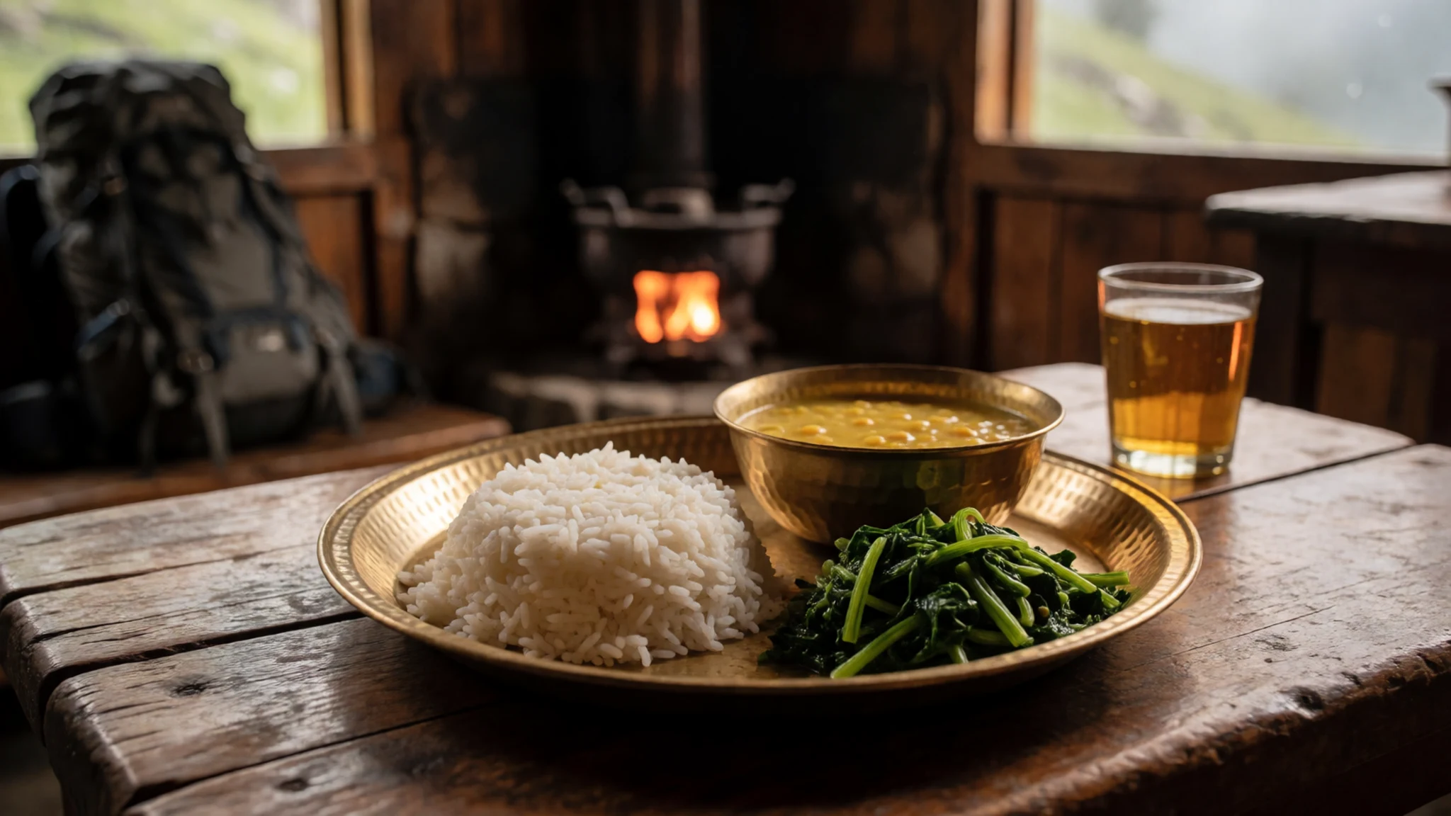
- Thukpa (noodle soup) — Mountain teahouses and eateries in trekking villages
Thukpa-style noodle soup is a comforting go-to when temperatures drop. Expect broth with vegetables and noodles, sometimes with added meat, depending on what’s available at the stop.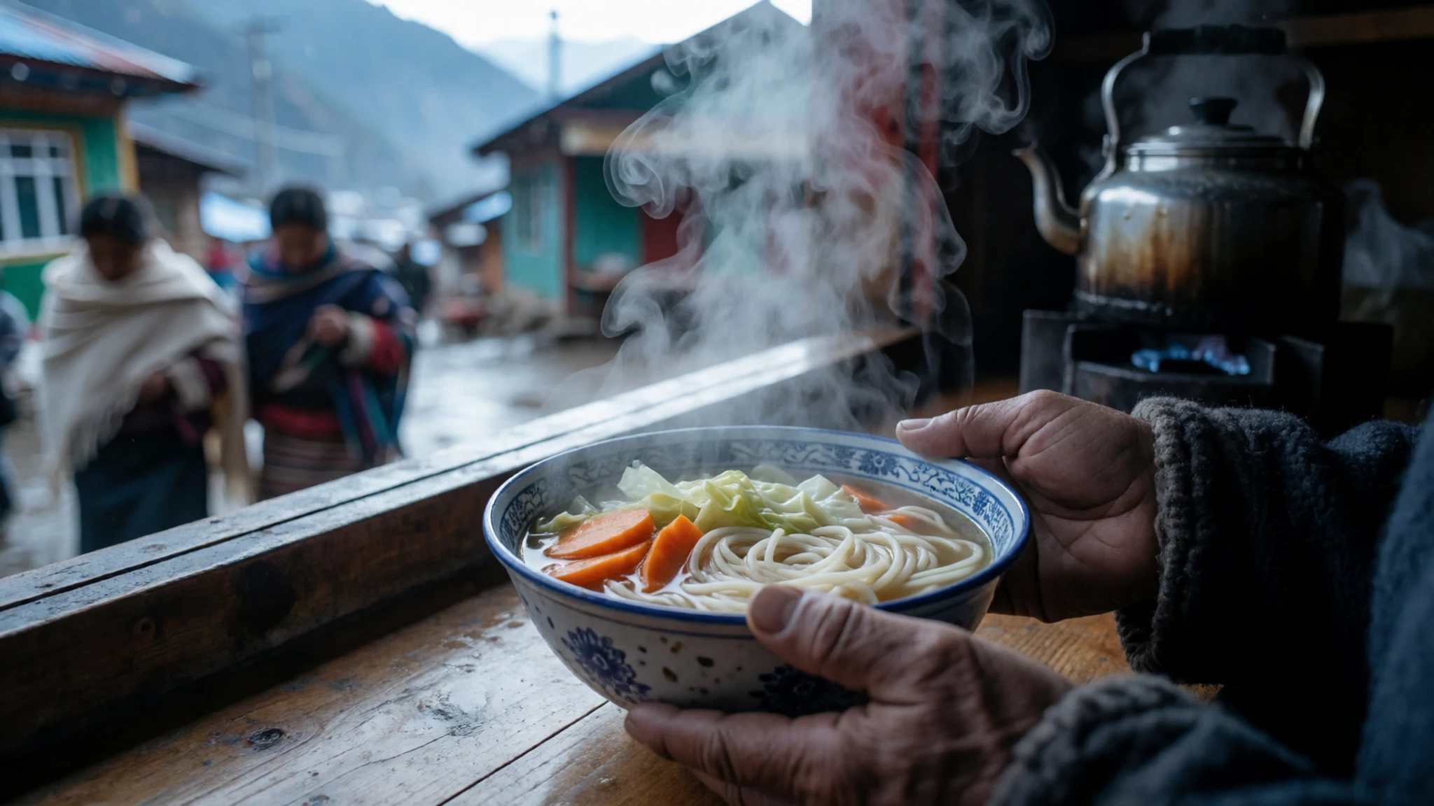
- Tingmo / steamed breads with sides — Common meal points in Sikkim trekking areas
Steamed breads or regional dumpling-like accompaniments are often served with simple curries or vegetable sides. They’re handy for keeping energy up between uphill sections. - Local momo (dumplings) — Village eateries and town-based stops around trekking routes
Momos are widely available in Sikkim and make a practical, shareable meal on the trail. They’re usually served with a spicy dipping sauce and are easy to eat while warming up indoors. - Chai and warm drinks — Teahouses, cafés, and roadside stalls in the approach towns
Warm milk tea (chai) and other hot drinks are important on cold mornings. Even when the meal is simple, a cup of something hot helps reset after a long walk.
Plan it
Best time. March–April for clearer days and comfortable trekking temperatures; late October–November when skies can be drier. June is the rainy season and can bring slippery trails and low visibility; August is typically hot and humid.
How long. 3–4
Getting there. Fly into Bagdogra (nearest major airport for Sikkim) or into a wider regional hub, then travel onward by road to the Sikkim base towns used for Khangchendzonga trekking. The last leg is always by road to the trailhead area and then on foot.
Budget. mid
Tips
- Plan for weather windows: start early so you’re on higher ground before cloud builds later in the day.
- Build in acclimatisation time if the route climbs significantly; do not rush the first day.
- Pack for temperature swings: mornings can feel much colder than midday, even outside deep winter.
- Carry a mix of cash and cards—small places can be cash-first during busier periods.
- Bring water treatment or purification and keep a steady hydration rhythm on uphill days.
Etiquette
- Keep voices low and avoid blocking narrow trail sections around viewpoints.
- Follow local guidance on route and safety; it’s usually based on conditions on the ground.
- Ask before photographing people in teahouses or local homes.
Nearby
Sources
- Wikidata Q2605019 (CC0)
- Wikipedia (rev 1362779741) (CC BY-SA 4.0)
- Wikivoyage (rev 5285791) (CC BY-SA 4.0)
- Photo photos/01-abhishek532-lamuneyvalley.jpg (CC BY-SA 4.0)
- Photo photos/02-kangch-goechala.jpg (CC BY 3.0)
- Photo photos/03-khangchendzonga-np.jpg (CC BY 3.0)
- Photo photos/04-a-scene-from-kanchendzonga-national-park-sikkim-2.jpg (CC BY-SA 4.0)
- Photo photos/05-a-scene-from-kanchendzonga-national-park-sikkim-3.jpg (CC BY-SA 4.0)
- Photo photos/06-a-scene-from-kanchendzonga-national-park-sikkim-1.jpg (CC BY-SA 4.0)
- Photo photos/07-abhishek532-goechala1.jpg (CC BY-SA 4.0)
- Photo photos/08-abhishek532-naturehues.jpg (CC BY-SA 4.0)


