Khami
Khami, Zimbabwe
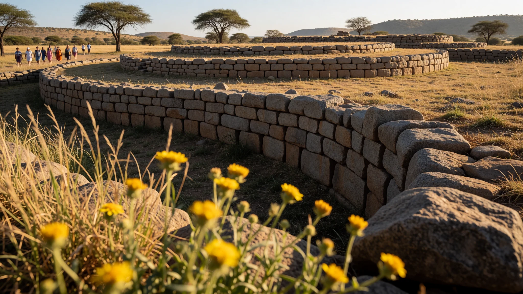
Khami is a compact stone-city site where palace walls, terraces and patterned masonry tell a layered story of Torwa and later arrivals.
The place
Khami is a ruined city set outside Bulawayo in Zimbabwe, known for having served as the capital of the Kingdom of Butua of the Torwa dynasty. The remains feel unexpectedly tactile: you’re not looking at scattered foundations, but at organised places—platforms, walls and enclosures—that suggest how living, ruling and daily life were separated across the landscape.
The site is famously associated with careful stonework. Circular and terraced platforms rise above the valley floor, and they’re enclosed by dry stone walls. One of the defining features is a long retaining wall on a precipice platform that carries a checkerboard design along its length. That patterning isn’t just decoration; it’s the sort of detail you notice more the slower you walk, especially when light is low and the edges of the wall catch shadows.
What makes Khami particularly engaging is the way the layout hints at social hierarchy. Excavations and visible remains point to an area for the royal household on higher ground, with open valley areas linked to commoners. Below the higher zones, you can still spot remnants that relate to cattle enclosures and huts.
Khami is also recognised internationally, having become a UNESCO World Heritage Site in 1986. In practical terms, it means the ruins are treated as cultural heritage first, not just as “nice rocks”, so it’s worth arriving with time to read the stonework—because it’s the main language here.
Its story
Khami’s story starts with power shifting in and around the Great Zimbabwe region. The site is linked with the Torwa dynasty as a capital for a couple of centuries starting around the middle of the 15th century, and it’s thought to have emerged when the state at Great Zimbabwe was fading.
Later on, Khami seems to have been pulled into a new phase of conquest and reorganisation. Accounts describe it being taken by Changamire Dombo, leading to a different phase under the Rozvi—who were associated with the Mwenemutapa state in the wider region. In that transition, the excavated record suggests the original settlement did not continue in exactly the same way after the Rozvi takeover.
Then came another interruption: in the 1830s, Nguni-speaking Ndebele raiders displaced the people associated with Khami and many other sites in the region. That kind of recurring disruption matters for how the ruins read today, because the stones don’t represent a single “finished” city. Instead, they preserve layers—platforms and wall lines that reflect changing occupants and changing priorities.
In the ground-level experience, those layers show up in the planned sections of the complex: built-up areas linked to the royal household and open valley areas tied to commoner activity. Even the surviving wall design and the idea of higher versus lower areas turn Khami into an archaeological map of who held authority, and how that authority wanted the city to look.
What to see
- Hill Complex (royal enclosure) — Khami main ruins
Khami’s Hill Complex is the higher-ground core, enclosed by stone walls and organized around royal space. It’s where the layout feels most “deliberate”, and the platform edges help you read how authority and access may have been managed.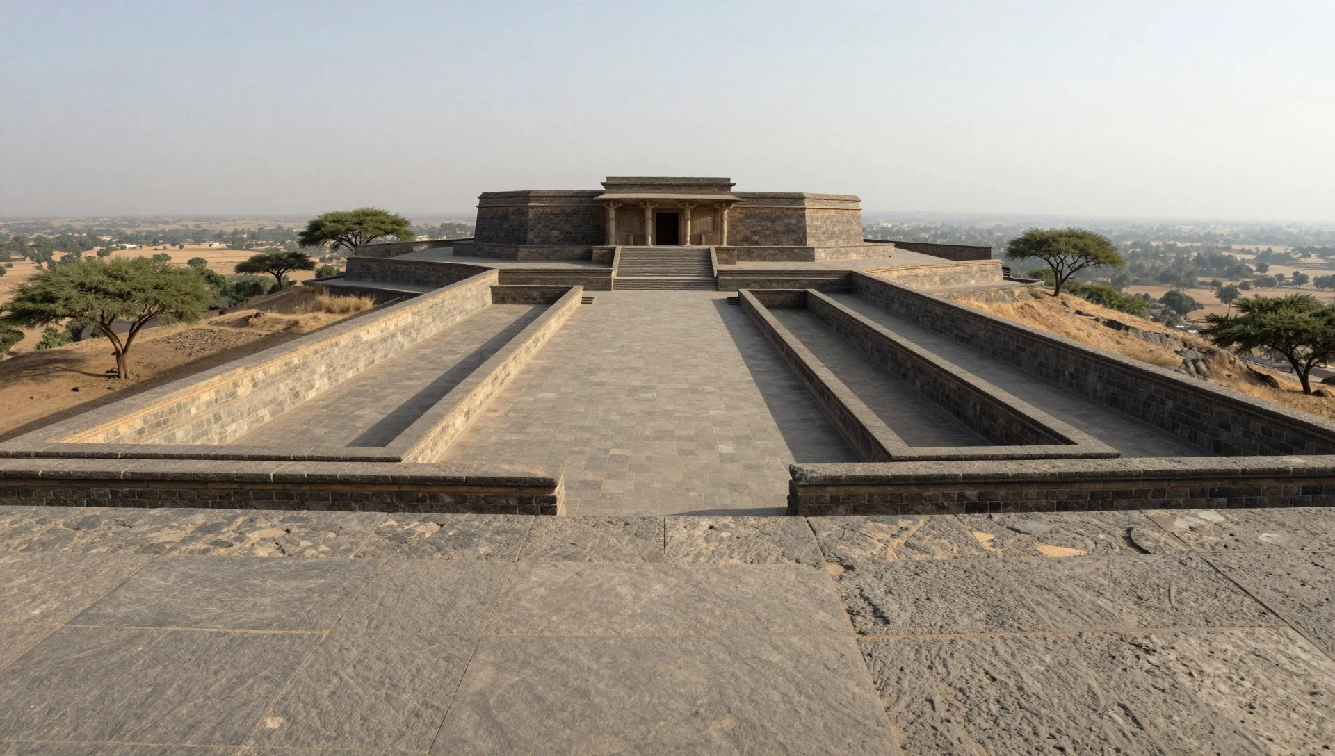
- Precipice platform retaining wall with checkerboard pattern — Upper terraces and cliff-edge zones
Khami’s best-known stonework includes a retaining wall on the precipice platform, decorated with a checkerboard design. The pattern runs along the length of the wall, and its geometry becomes clearer as you move sideways and change the angle of light.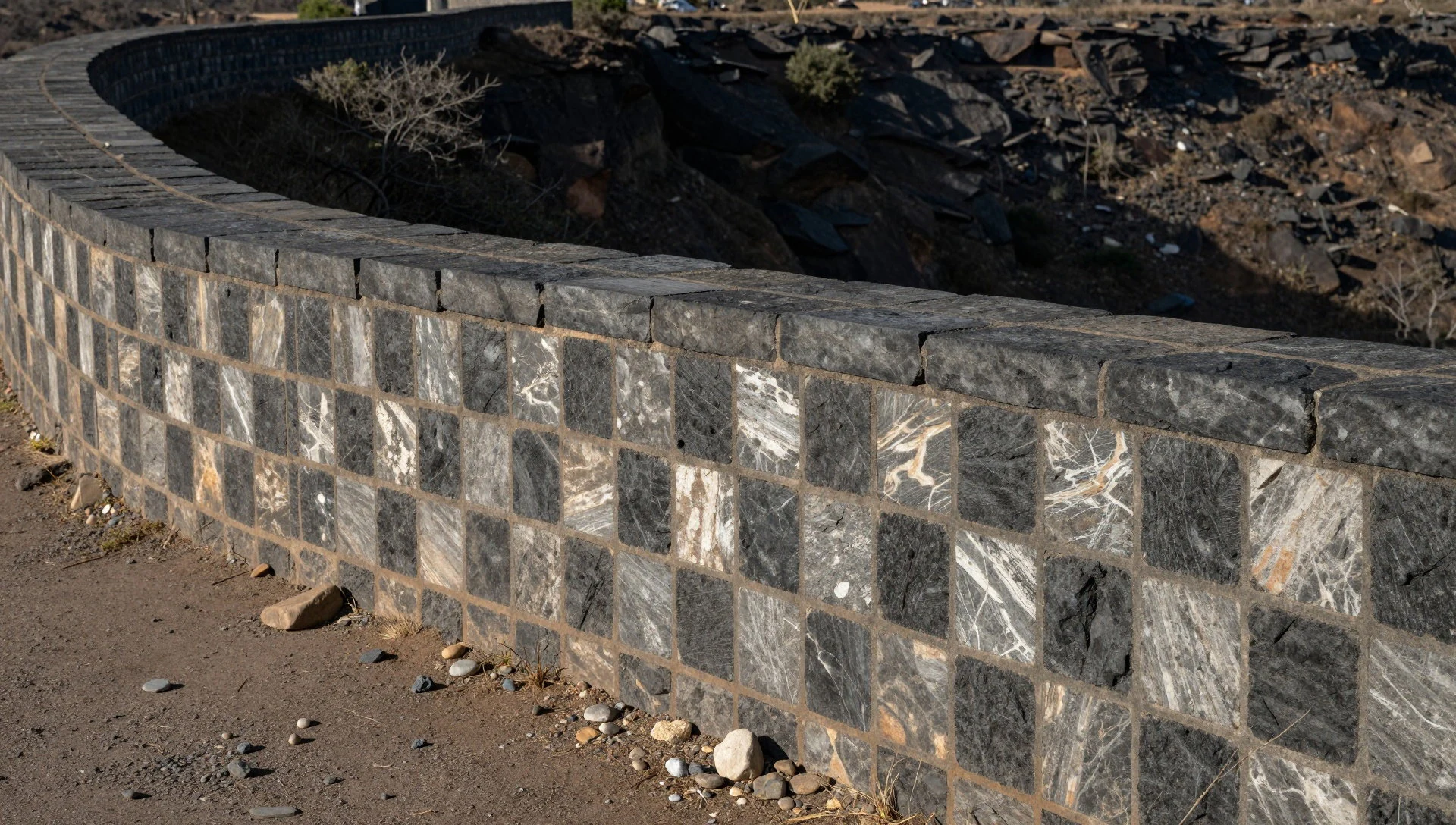
- Circular terraces and dry-stone platforms — Terraced zones across the complex
Khami is built on circular, sometimes terraced, artificial platforms set within dry stone walls. These platforms rise above the ground and create layered viewpoints over the valley, so walking the contours is the easiest way to understand the site’s structure.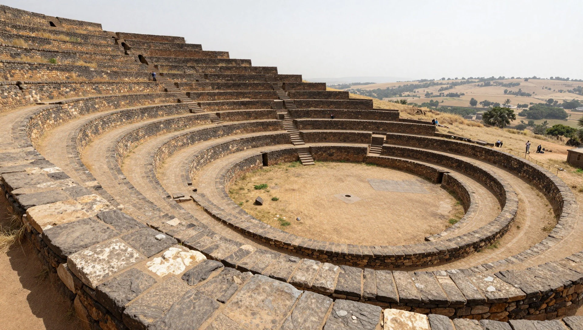
- Lower valley open areas and commoner space — Valley floor view points
Below the higher enclosures are open areas in the valley, associated with commoner activity. From these viewpoints you can see how the site separates “up top” from “down below”, and why the placement of buildings mattered to daily movement.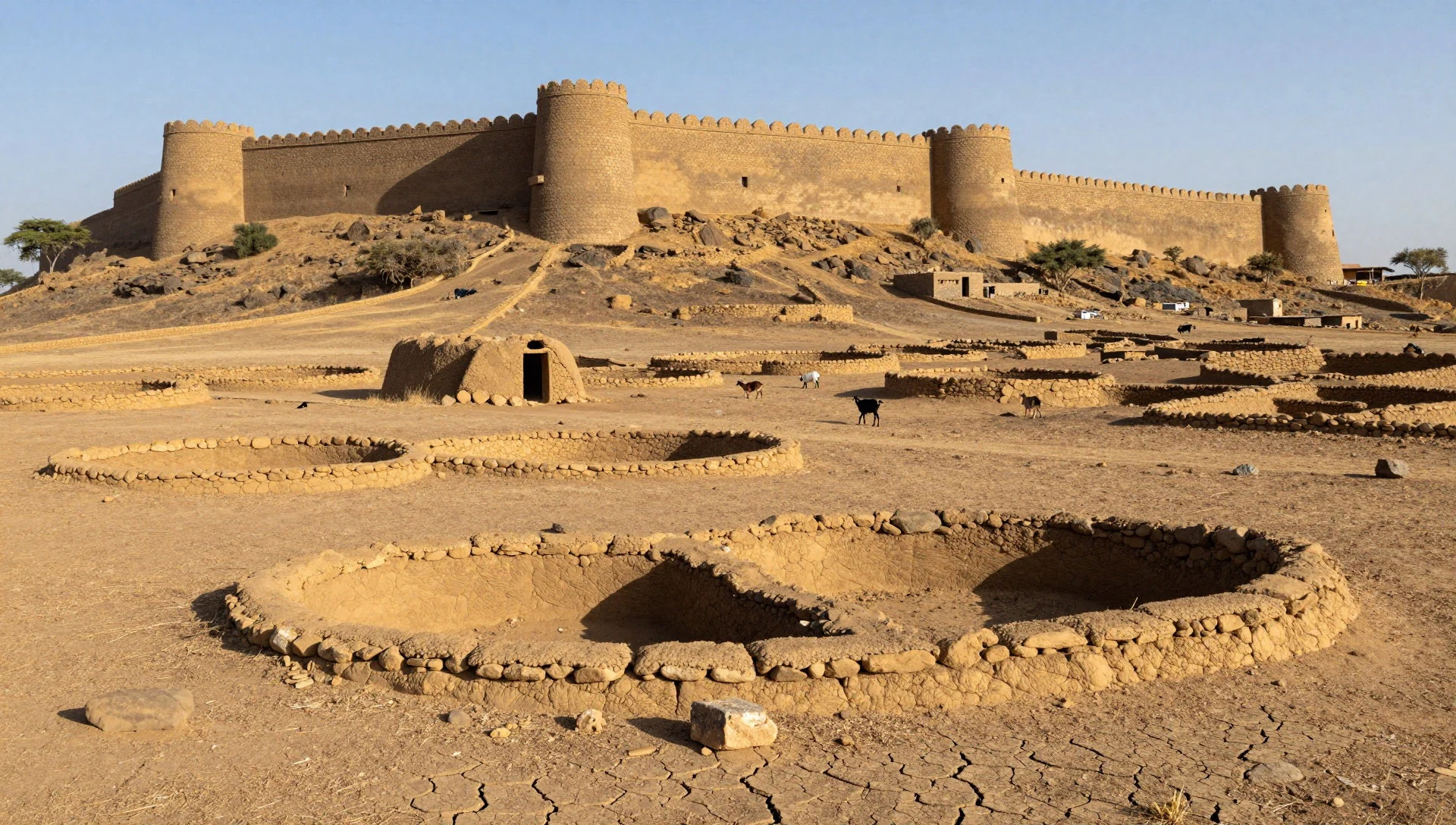
- Eastern-side remains (Khami River zone) — Eastern outskirts near the Khami River
Ruins also appear on the eastern side linked with the Khami River. This section gives a broader sense that Khami was more than one hilltop cluster—there were additional built areas extending beyond the main complex.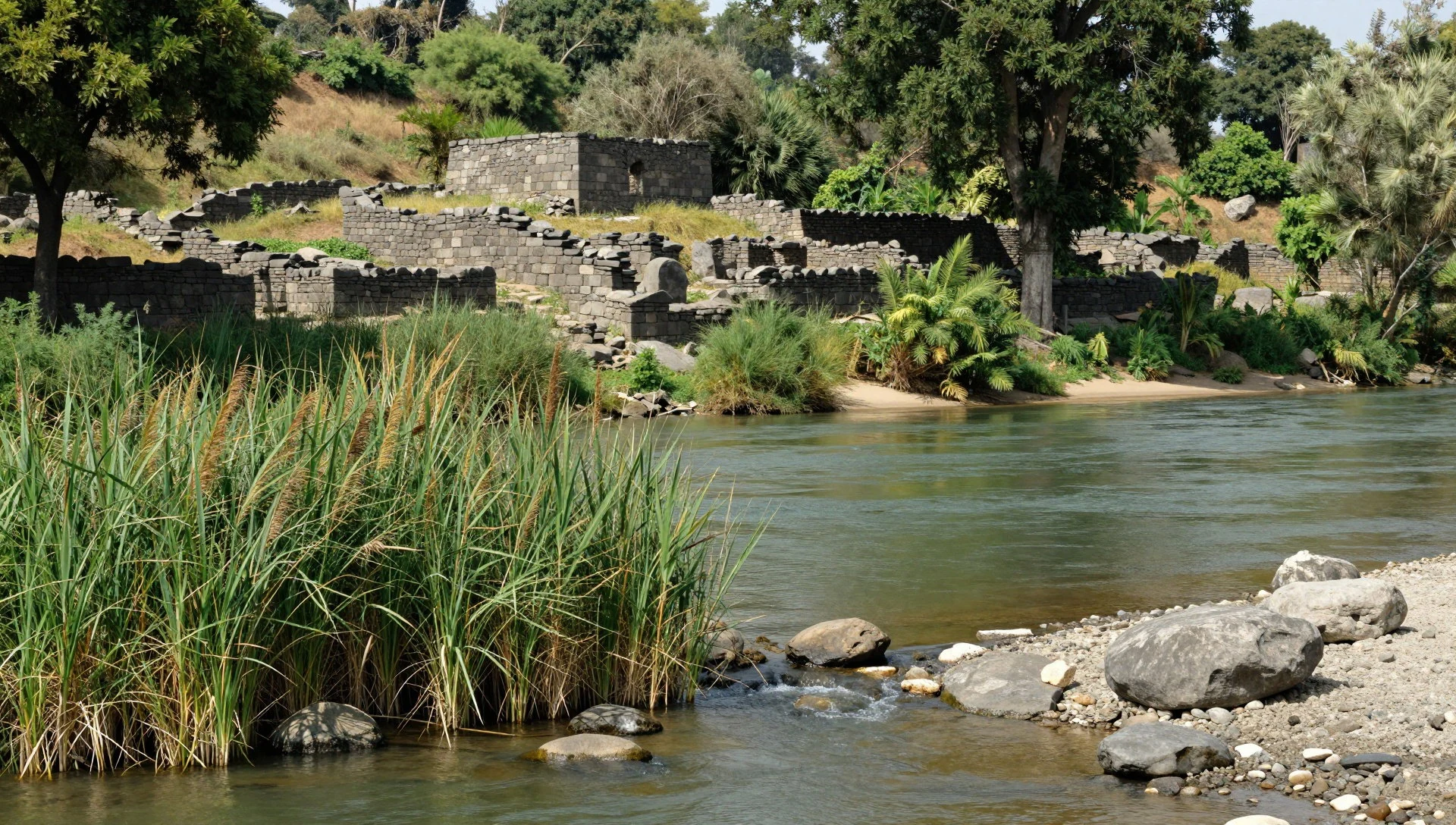
Culture
Khami is an archaeological site, but the cultural rhythm of Zimbabwe shows up in how visitors are treated as well as how locals expect respect. Zimbabweans are often described as welcoming and helpful, and it’s normal for people to offer advice or directions when asked. In day-to-day interactions around town or on the road, respect for elders is important, and people commonly use honourifics with those they do not know well.
If you meet people in smaller towns and along roads, greeting each other briefly is part of the social script. A simple hello or asking how someone is can go a long way, and a few words in local languages can soften the interaction.
Punctuality is often valued in Zimbabwe, especially for work and business, so turning up on time is a good habit—even if public transport sometimes causes minor delays. For visiting Khami, that “turn up ready” attitude pairs well with the practical reality of ruins: give yourself enough time to walk, and ask before photographing people or carrying out any closer inspection near structures.
Visitor etiquette: If you’re invited to talk or ask for help, greet people politely, use honourifics, and don’t ignore someone older or in a position of authority.
What to wear
At Khami, the outfit is mostly about sun, dust and how close you’ll want to get to dry-stone walls. Traditional clothing in Zimbabwe varies by group and occasion, but a common cultural picture is that of people wearing patterned wraps and shawls—often in vivid colours—alongside tailored pieces for more formal gatherings. In everyday settings now, many people wear modern garments like T-shirts, shirts, skirts, trousers and dresses, with the same local preference for colours and patterns showing up in accessories and fabric choices.
For visitors, lightweight layers are the smart base because weather can move quickly and the walkways around stone structures can feel hot. Loose, breathable trousers or a long skirt reduce sun and help with comfort when you’re stepping over uneven ground. A hat and sunglasses are useful, and a scarf or light layer helps at cooler moments.
Footwear matters: the terrain near ruins can be rocky and irregular, so wear closed-toe shoes or sturdy trainers with grip. If visiting local communities or entering any nearby spaces where modesty is expected, keep shoulders covered and avoid overly revealing outfits.
Practical rule: dress for dry heat and dusty paths, then add one modest layer for when your day shifts from ruins to people.
What to eat
- Sadza with stew and relish — Local eateries and informal meal stops around Bulawayo
A staple of Zimbabwean meals, sadza is a thick ground corn porridge served with stew and relish. It’s often what people mention when recommending “try this first”, filling and straightforward, and you can usually find it in local eateries and home-style meals.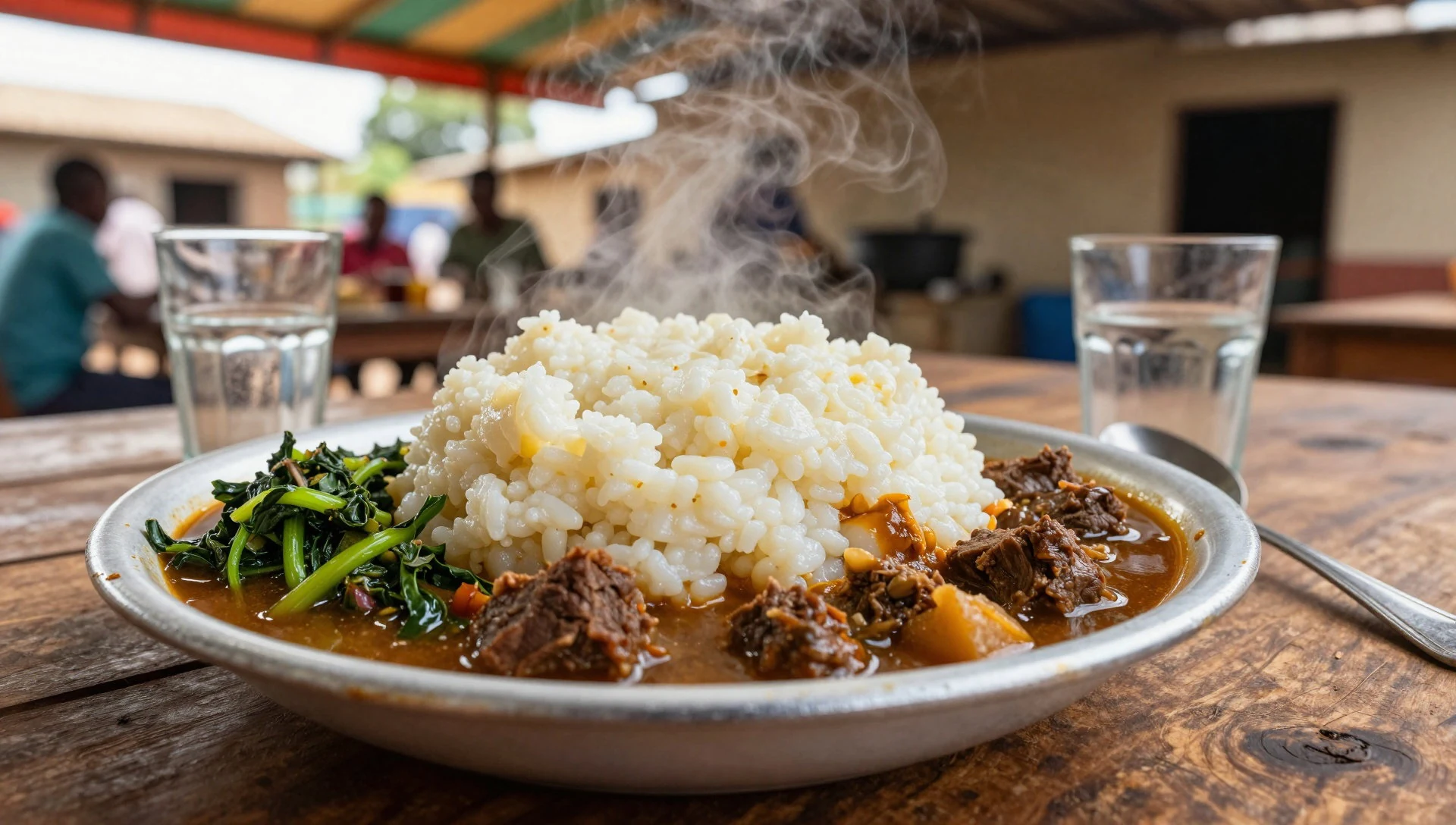
- Sweet potatoes (mbambaira) — Local markets and everyday cooking in town
Mbambaira are sweet potatoes eaten in many forms, depending on the household and season. They’re a common comfort food and show up as a simple, filling side when you’re sampling what’s eaten day to day.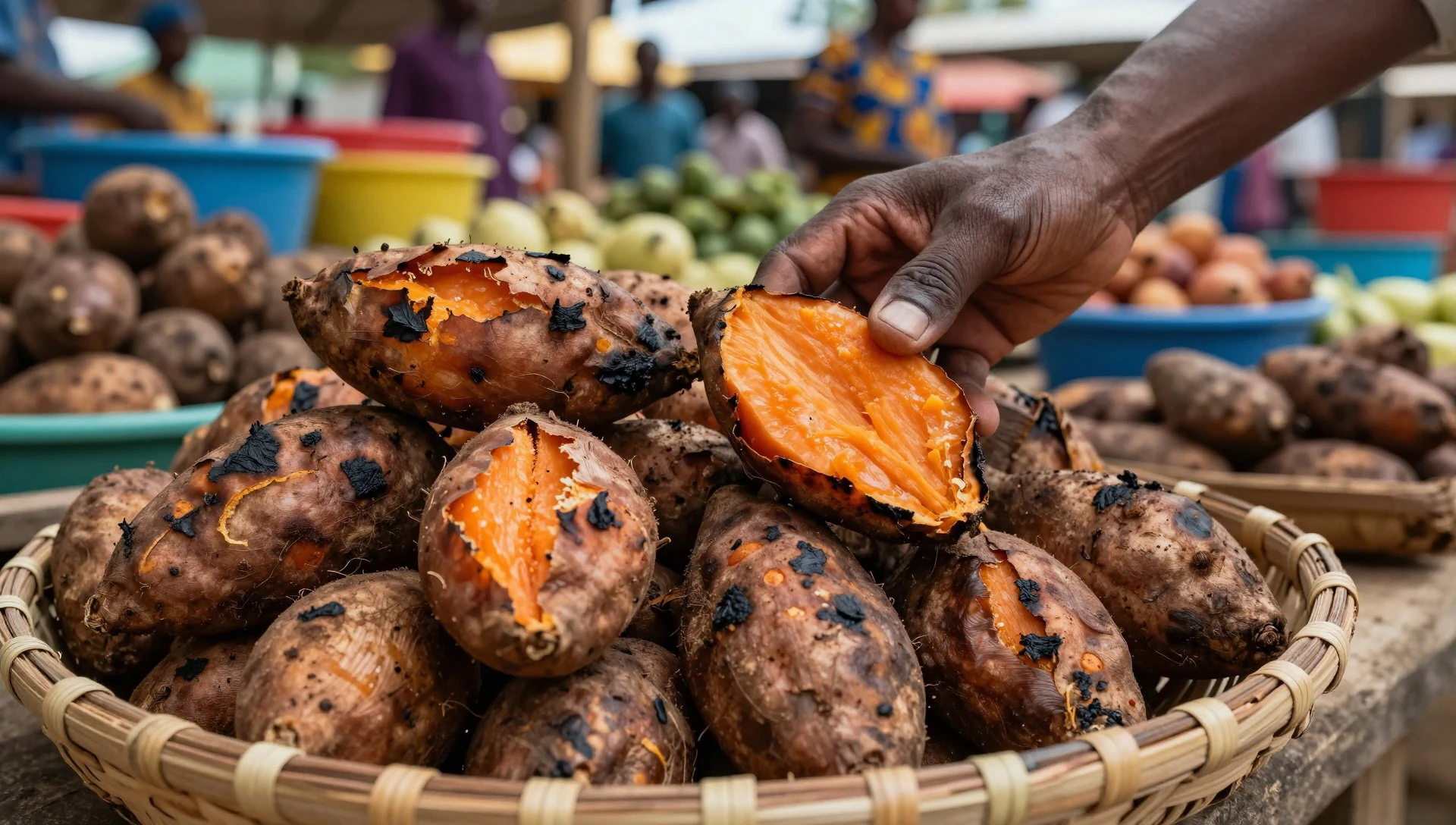
- Corn on the cob (chibage) — Roadside stops and market areas
Chibage refers to corn on the cob, a familiar, easy-to-eat Zimbabwean option. It’s the sort of food you might spot at roadside or market-style settings where people grab something quick and starchy. - Beef dishes — Restaurants and larger local restaurants in Bulawayo
Zimbabwean meat is often talked about for its flavour, especially beef, with animals traditionally raised on natural diets. If a menu includes beef as the centrepiece, it’s a safe bet for a hearty meal after walking around sites. - Chibuku (sorghum/maize-based traditional brew) — Local bars and beer-serving venues
Chibuku is a local beer made from sorghum and/or maize (corn), associated with working-class popularity. It’s a good “tastes of the region” drink when you’re curious, and it’s usually offered where local brews are served.
Plan it
Best time. March–April for pleasant conditions and blossom; late October–November when the air is often easier after the hotter months. The main rains usually peak later in the year (with heavier rain in November and December), and June is comparatively dry, so those periods are less comfortable mainly when storms roll through rather than for steady soaking.
How long. 2–3
Getting there. Fly into Bulawayo, then use local transport to reach the Khami area west of the city.
Budget. mid
Tips
- Start early to walk the terraces before the heat builds
- Bring water and sun protection; the ruins are exposed in open parts
- Plan time to read the stone patterns—moving slowly makes the checkerboard wall stand out
- Ask locally about the best route through the terraces to avoid doubling back
Etiquette
- Use polite greetings and respect elders when you ask for help
- Ask before taking close photos of people near the ruins
- Keep your pace steady and don’t block pathways where other visitors are moving
Nearby
Sources
- Wikidata Q938685 (CC0)
- Wikipedia (rev 1365247355) (CC BY-SA 4.0)
- Wikivoyage (rev 5423020) (CC BY-SA 4.0)
- Photo photos/01-zw-khami-ruins.jpg (CC BY-SA 4.0)
- Photo photos/02-khami-ruins-zw.jpg (Public domain)
- Photo photos/03-khami-ruins-zimbabwe-banner.jpg (CC BY 3.0)


