Kenai Fjords National Park
Kenai Fjords National Park, United States
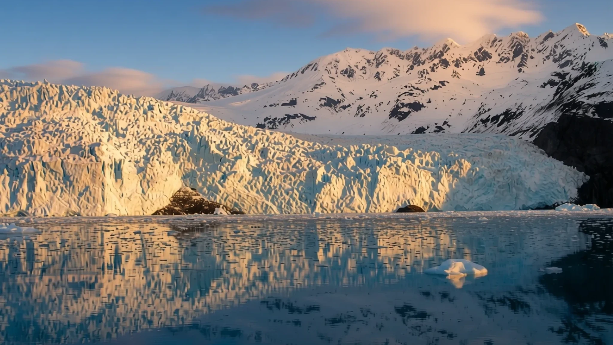
Go for ice that reaches the sea: tidewater glaciers, a vast icefield and fjords you can only properly explore by boat.
The place
Kenai Fjords National Park sits on the southeastern edge of the Kenai Peninsula in south-central Alaska, south of Anchorage by road. Its centre of gravity is the Harding Icefield, a broad sheet of ice on the mountains that feeds glaciers down toward the sea. Those glaciers carved deep valleys, and when sea levels rose while the land sank, the valleys flooded. What remains is a coastline of long, steep-sided inlets, which gives the park its name.
The park is really three landscapes stacked on top of each other: the high ice, the glacier tongues that push down through a narrow band of forest, and the open water of the fjords. Most of the fjords can only be reached by boat or small aircraft. The only public road ends at Exit Glacier, which is the easiest ice to reach on foot, with a short walk from the car park to the glacier's edge. Everything beyond that is a matter of tour boats, floatplanes and longer trails.
Wildlife is a large part of the appeal. Brown and black bears, moose, sea otters, harbour seals, humpback whales and killer whales all live here, and the sea is where most visitors see them. Seward, on Resurrection Bay just east of the park, is the gateway town and home to the park headquarters.
Its story
Kenai Fjords was first protected as a national monument, using presidential powers under the Antiquities Act, while Congress worked out how Alaska's public lands would be divided. The park was established as a national park in 1980 under the Alaska National Interest Lands Conservation Act. It is smaller than Yosemite and is the closest national park to Anchorage, which explains why so many people from the city make the trip.
The land was not empty when it was protected. Archaeological surveys have shown that people used these shores for a long time, and the coast was the richest place for food, so village sites were concentrated there. Some of those sites now lie underwater, because the land has sunk and the sea has risen since they were used. Researchers also found evidence that a major earthquake, centuries ago, dropped the shoreline by a few metres, which may have drowned older settlements.
The park also has a mining history. Several gold mines were worked here, mostly around Nuka Bay, and some were still active around the time the park was created. Of all the national parks in Alaska, Kenai Fjords is the sole one that initially prohibited Native American people from harvesting resources for subsistence. Village corporations that hold land inside the park have since gained subsistence rights on those properties.
What to see
- Exit Glacier — Exit Glacier road, north of Seward
Exit Glacier is the park's road-accessible ice, and it is the easiest place to get a close look at a glacier here. A short trail from the Exit Glacier Nature Centre leads toward the ice front, and the signs along the way show how far it has retreated over time. Go early or late in the day to avoid the busiest tour arrivals.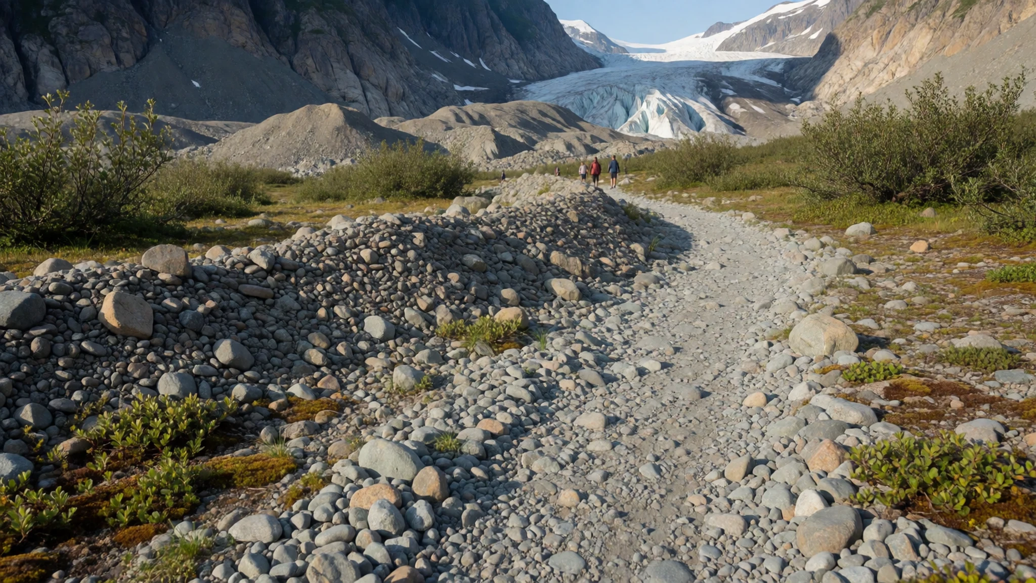
- Harding Icefield Trail — Exit Glacier area
The Harding Icefield Trail is a long, strenuous day hike that climbs steeply from the Exit Glacier area to the edge of the icefield. The effort pays off with a wide view of ice stretching to the horizon. Bring layers, water and proper boots, and turn back if the weather closes in.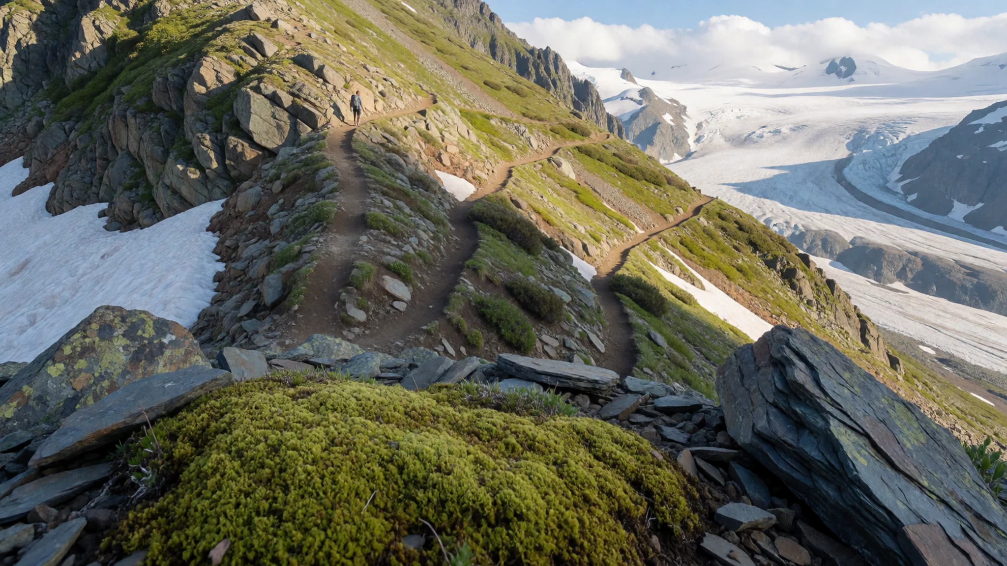
- Aialik Bay by boat — Aialik Bay, reached by boat from Seward
Aialik Bay is one of the fjords most visitors reach by tour boat from Seward. Its tidewater glaciers reach the water, and you may hear large chunks of ice breaking off and falling into the sea. Boats keep a respectful distance, and the cold water here is dangerous, so stay with your guide.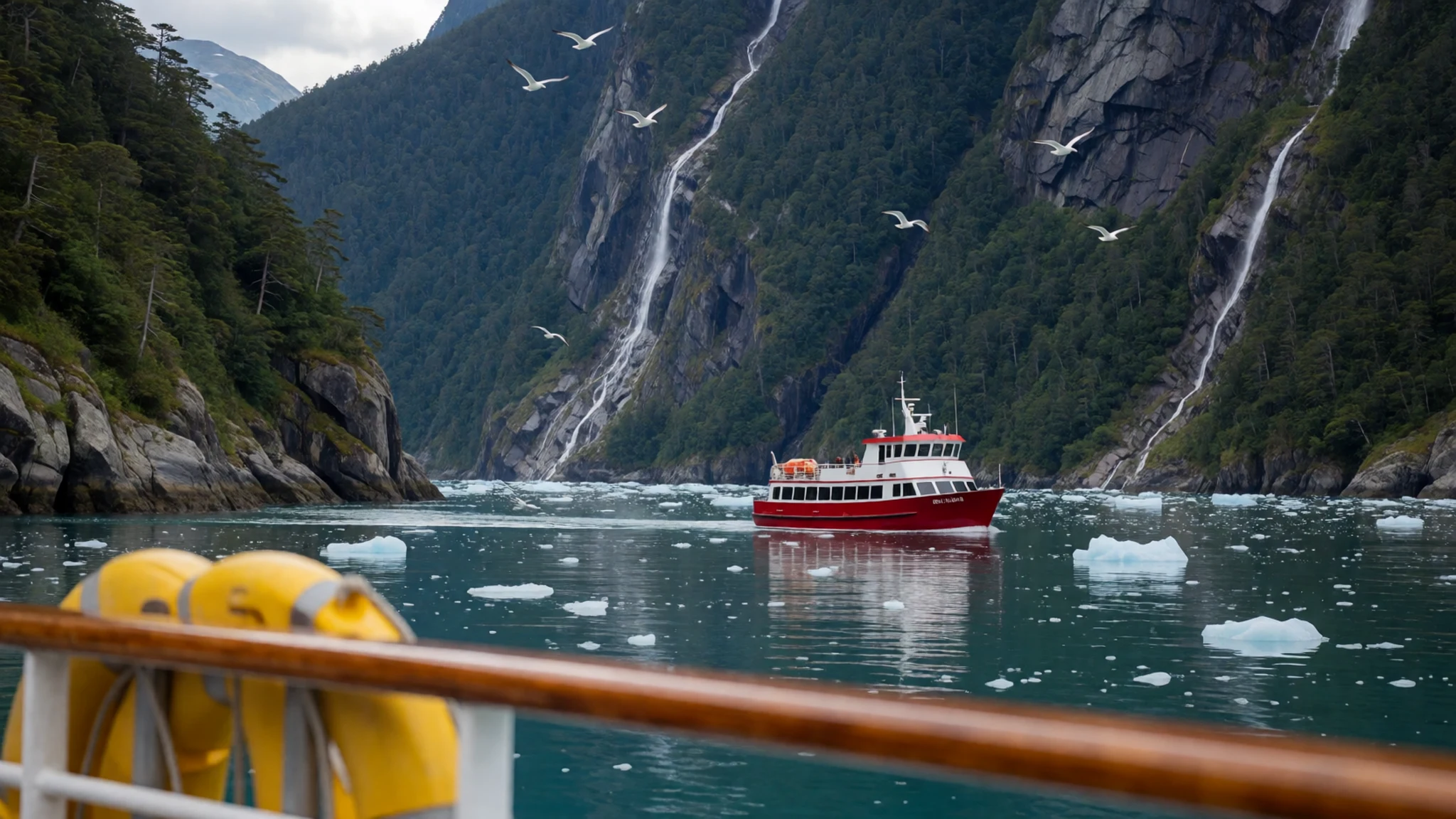
- Kenai Fjords Visitor Centre — Seward
The park's main visitor centre is in Seward, and it is the best place to plan before you head out. Exhibits explain the glaciers, the wildlife and the park's human history. The centre is open daily during the summer season and closed in winter, so check the official site before you travel.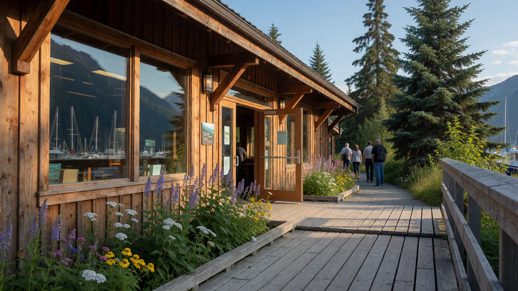
Culture
Kenai Fjords sits on lands and waters that Alaska Native peoples have used for generations, and that use continues today. Village corporations hold land inside the park, and subsistence fishing and hunting remain part of local life, so visitors are guests in a working landscape rather than a purely scenic one. Much of the local economy depends on tourism, but many residents still rely on the sea for food and on the boats for transport.
Wildlife is treated with real seriousness here. Bears, sea otters and whales are wild animals, and the rules that tour operators and rangers set about distance and noise exist for good reasons. Feeding wildlife is prohibited, and a fed bear is a dangerous bear. Keep your voice down near the water, stay seated when the crew asks, and never approach a bear, otter or seal closer than your guide advises.
What to wear
Traditional dress in this part of Alaska was shaped by the sea. Coastal Alaska Native peoples made clothing from skins, fur and waterproof materials, including parkas of sea-mammal gut sewn for wet work in kayaks and boats. Many of these skills and materials have been replaced by modern textiles, although some communities still make traditional garments for ceremonies and special occasions.
What people wear now is practical. Locals and fishing crews dress in layers: thermal base layers, fleece, and a waterproof shell, with rubber or sturdy waterproof boots for the harbour and boat decks. Caps and gloves are common even in summer, and people rarely dress up in the town.
A visitor should dress for cold, wet and wind, even on a sunny day. Pack a waterproof jacket with a hood, a warm mid-layer, gloves and a hat. Choose footwear with good grip for wet rock, glacier-edge paths and boat decks. Dress modestly for the Alaska Native cultural centres and village areas, and leave cotton jeans for the car.
What to eat
- Smoked salmon — a smokehouse or fish shop on the Seward waterfront
Smoked salmon is the most familiar taste of the Kenai coast. Local smokehouses and fish counters sell it sliced thin, hot-smoked, or as a dip, and it travels well for a boat trip. Look for it at a smokehouse or fish shop on the Seward waterfront, and ask whether the fish is wild-caught.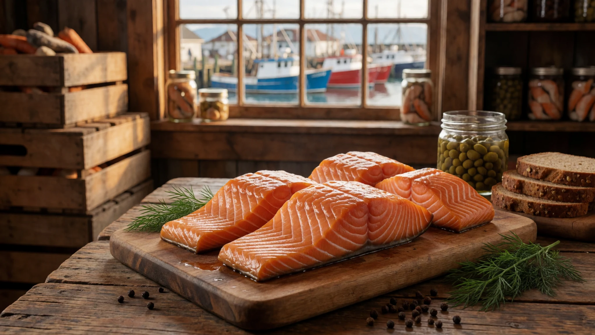
- Fresh halibut — a harbour-side café or seafood kitchen in Seward
Halibut from the Gulf waters is served battered and fried, grilled with lemon, or in fish tacos. It is thick and mild, and a good choice after a long morning on the water. Harbour-side cafés and simple seafood kitchens are the usual place to find it.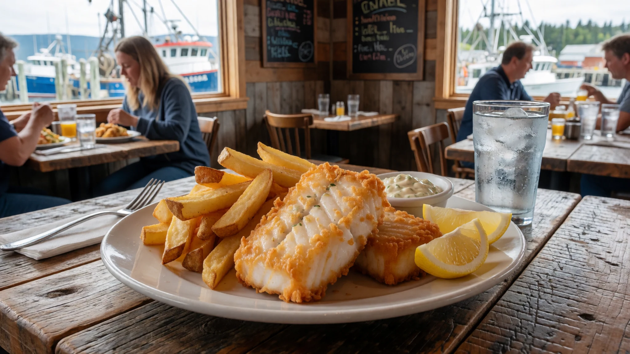
- Crab — a seafood counter or waterfront restaurant in a harbour town
Crab from Alaskan waters is often sold cooked and cracked at seafood counters, or served with melted butter as a shared plate. It is expensive and seasonal, so ask what is in season. Look for it at a seafood counter or a waterfront restaurant in a harbour town. - Reindeer sausage — a food stall or grill at a local fair or market
Reindeer sausage is a northern specialty, often grilled and served in a bun with onions and mustard. It is leaner than pork sausage and has a deep, gamey flavour. Look for it at a fair, a food stall or a grill that serves local meat. - Sourdough pancakes — a breakfast café in Seward or Anchorage
Sourdough pancakes are a breakfast staple across Alaska. The batter is fermented, which gives a slight tang, and they are often served with local berries or syrup. A good breakfast before an early boat departure is a sensible start.
Plan it
Best time. Road and rail access from Anchorage works for most of the year, though boat schedules shift with the seasons. July and August are busiest and the warmest months, with highs of about 17 to 19 °C, though the wettest weather comes from September through December. Spring and early autumn are quieter, but tours run less often, so check schedules before you go.
How long. 2–3
Getting there. Drive or take the train from Anchorage to Seward, the park's gateway town. Seward's airport has only a short runway with no regular scheduled flights, so most visitors arrive by road, rail or cruise ship.
Budget. high
Tips
- Book a marine tour in advance, especially for July and August
- Choose a morning departure, as afternoon weather often turns
- Carry cash for small operators, and check card acceptance first
- Pack waterproof layers and a warm hat, even in summer
- Check the official site for visitor centre hours before you go
Etiquette
- Stay with your tour guide and follow crew instructions
- Keep a respectful distance from wildlife and never feed it
- Do not enter the water or the glacier face areas
Nearby
Sources
- Wikidata Q841503 (CC0)
- Wikipedia: Kenai Fjords National Park (CC BY-SA 4.0)
- Wikivoyage: Kenai Fjords National Park (CC BY-SA 4.0)
- Kenai Fjords coast (photo 01) (Public domain)
- Harding Icefield 1 (photo 02) (CC BY-SA 2.0)
- Kenai Fjords Aialik Glacier (photo 03) (CC BY 3.0)
- Exit Glacier (photo 04) (CC BY 3.0)
- Sailboat at the mouth of Thumb Cove (photo 05) (CC BY 3.0)
- NPS Kenai Fjords map (photo 06) (Public domain)
- Bear Glacier, Kenai Fjords (photo 07) (CC BY 2.5)
- 2011 Kenai Fjords Sea Otter (photo 08) (CC BY 2.5)


