Karijini National Park
Karijini National Park, Australia
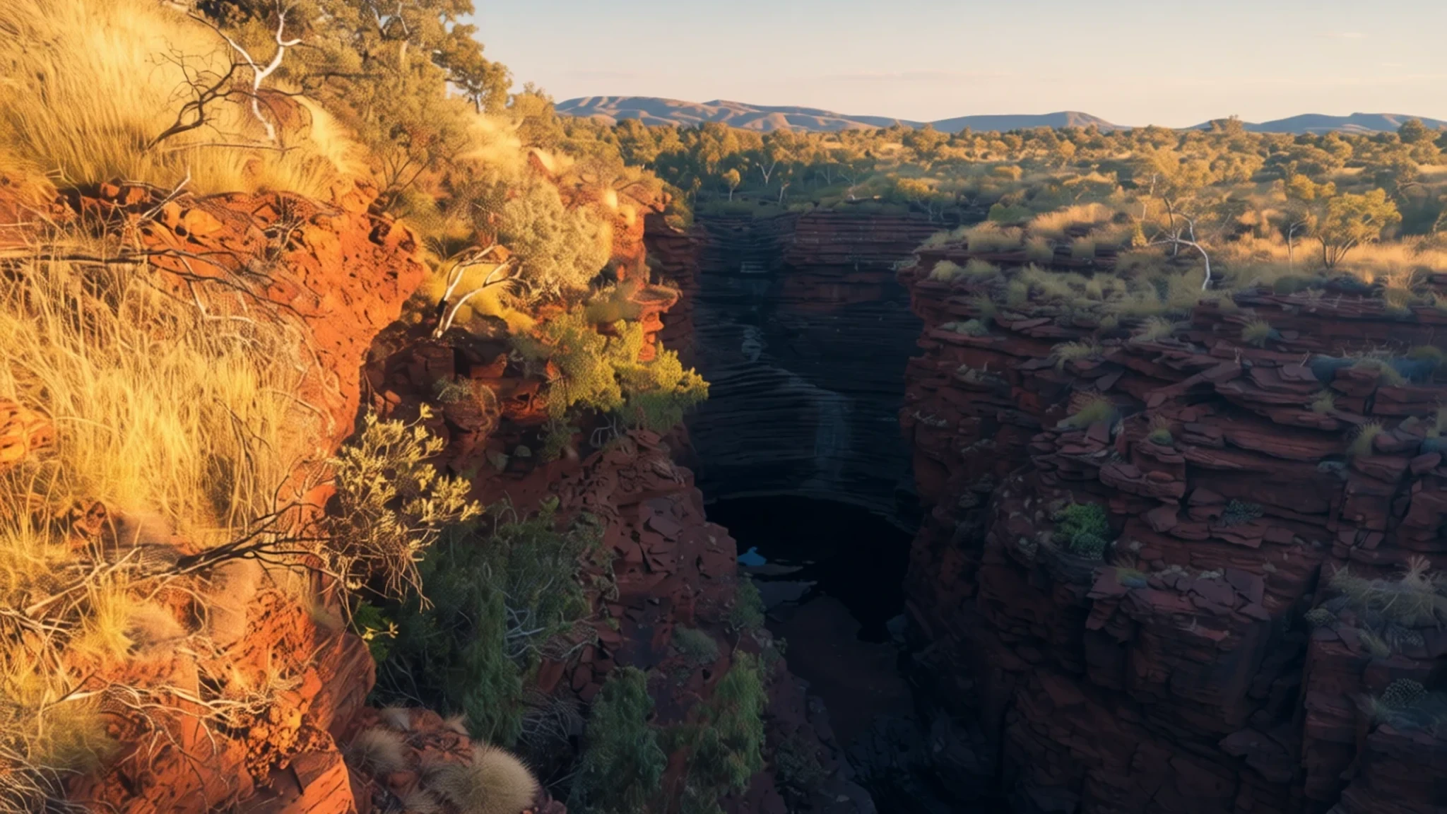
Come for ancient banded gorges, clear plunge pools and waterfalls in the dry Pilbara, ideally in the cooler months.
The place
Karijini National Park sits in the Hamersley Ranges of the Pilbara, in the northwest of Western Australia, roughly a long day's drive from the state capital, Perth, by road. It is the second largest national park in the state, a vast block of ranges, gorges and dry plains. The park was established in 1969 and was known as Hamersley Range National Park until it was renamed in 1991.
The landscape is the reason people come. Deep gorges have cut down through banded rock, and at the bottom of many of them you find clear pools, rock terraces and waterfalls that seem out of place in such a dry country. The park is split into two halves by a corridor of rail line and iron ore mine. Nearly all the best-known gorges lie in the northern half, reached along Karijini Drive, which mixes sealed and gravel sections. The southern half has no sealed access roads, so plan your route before you leave the highway.
Heat and water shape the timing. The cooler months, roughly May to September, are the time to come. Days are warm, nights are cold, and summer is punishing, with bushfire risk on top. Summer also brings thunderstorms, and the narrow gorges can flood quickly, so a clear sky above does not mean a dry canyon below.
You need a car. There is no public transport in the park and the nearest fuel is well outside it, so start with a full tank, carry more water than you think you need and tell someone your plans.
Its story
Karijini National Park is the traditional country of the Banyjima, Kurrama and Innawonga Aboriginal peoples, and their connection to it runs far deeper than any European record. The Banyjima name for the Hamersley Range is Karijini, which roughly means 'hilly place', a fitting word for a landscape of ridges and broken terrain. Evidence of occupation here goes back more than 20,000 years.
Over that long span, people shaped the country. Fire-stick farming, the deliberate use of controlled burning, produced a patchwork of vegetation at different stages of regrowth. That pattern influenced which plants and animals settled in the area, and many of today's habitats still reflect those older practices. A mosaic of burnt and recovering scrub is, in part, a managed landscape.
European exploration came much later. In 1861 a party led by Francis Thomas Gregory explored the district and named the range after his friend Edward Hamersley. That explorer's name lasted in the park's title until the 1991 renaming, when the park took the name Karijini, returning the older local word to the map.
The geology is the oldest story of all. The rock formations are estimated to be around 2.5 billion years old, and the layered walls of the gorges record a very long sequence of sediment, heat and erosion. Mining has since come to the region, and the iron ore corridor that cuts the park in two is a reminder that the land carries both ancient and modern histories.
What to see
- Joffre Falls — Joffre Gorge, northern half of the park
Joffre Falls is reached by a walk down into a slot canyon so narrow you could almost drop a coin across it. The path follows the stone until the walls open out into a pool known as the amphitheatre. Go in the cooler part of the day, wear shoes with grip, and watch the sky: these narrow gorges can flood after rain, so turn back if clouds build upstream.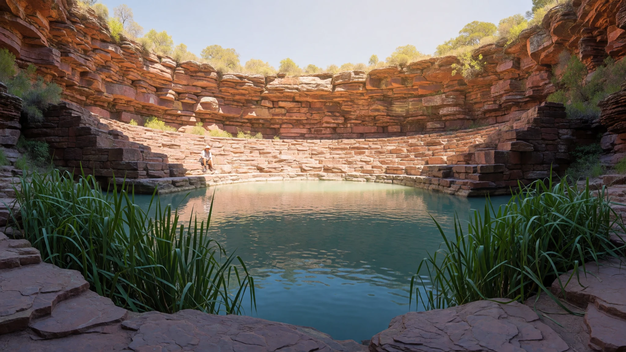
- Knox Lookout — Knox Gorge area, northern half of the park
Knox Lookout gives a dramatic view into a chasm, and the light is kindest in the early morning or late afternoon. From the lookout, the view north shows where the chasm meets Wittenoom Gorge. Hiking down into the gorge is a return walk of a few hours, so start early, carry plenty of water and do not underestimate the climb back up.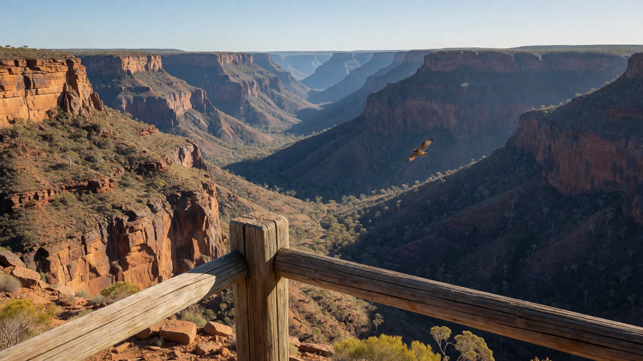
- Weano Recreation Area — Weano Road, past the eco-retreat
Weano Recreation Area is reached along Weano Road, past the eco-retreat. It has a picnic area, a barbecue space, shade and toilets, which makes it the easiest base for a lunch break. At the end of the road, Oxer's Lookout sits at a stream junction, with views along Weano, Hancock, Red and Joffre gorges. It is worth the short stop even if you go no further.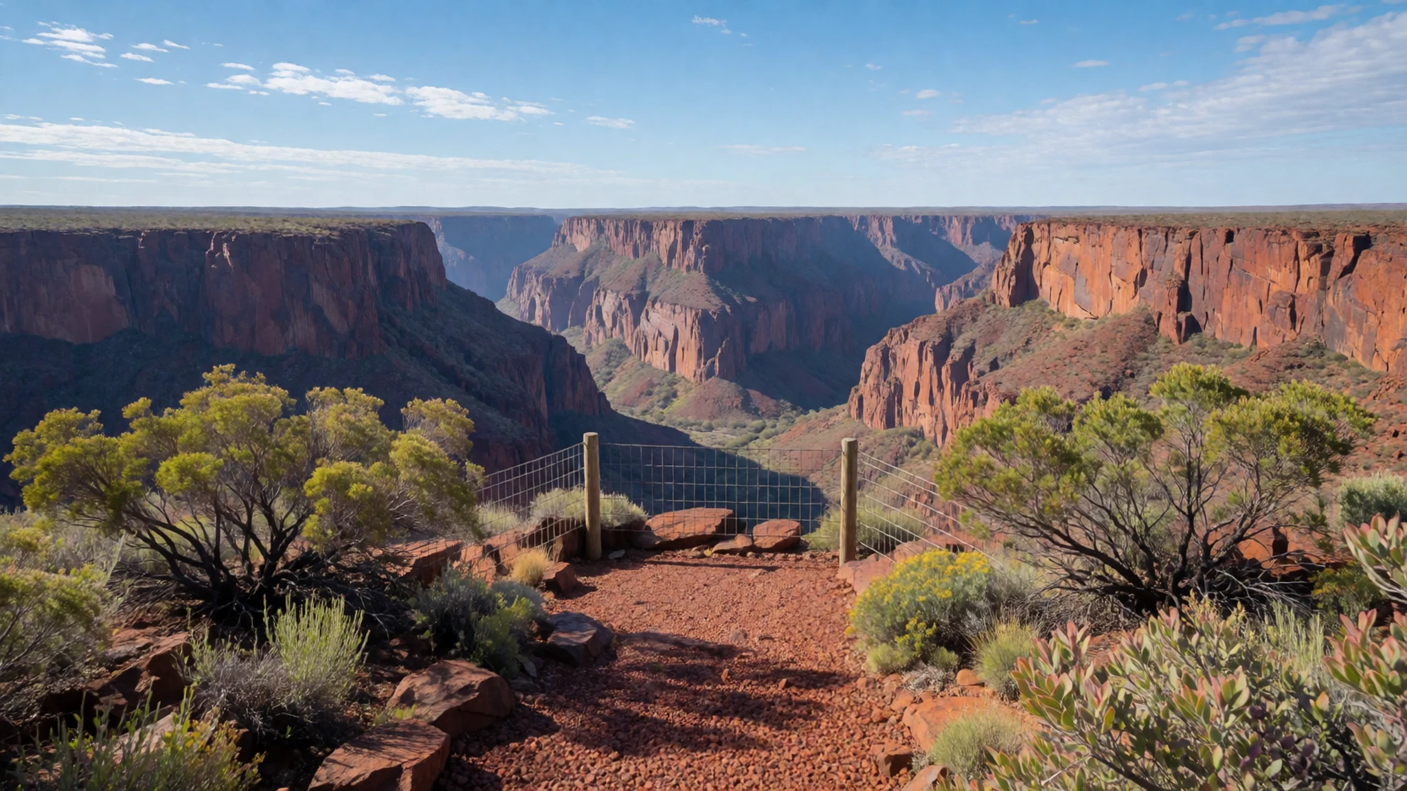
- Hamersley Gorge — Western edge of the park, off the main highway
Hamersley Gorge is widely described as the park's most scenic corner, and it is easy to see why once you stand beside the water. The access road from the main highway is unsealed and rough, so drive it slowly. Toilets sit by the lower car park, and the gorge rewards a slow walk along the water rather than a rushed visit.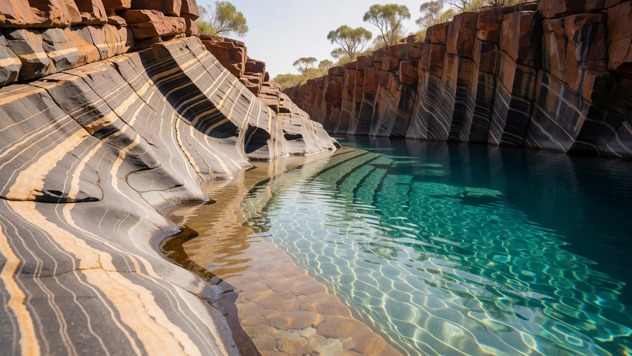
- Fortescue Falls and Fern Pool — Dales Gorge, northern half of the park
Fortescue Falls and the nearby Fern Pool are the park's most popular bathing spots, so expect company at weekends. Rock terraces around the falls give sunbathers room to spread out, and Fern Pool offers shade and a cooler place to sit. The stairway down into Dales Gorge is steep in places, so bring water and sun protection.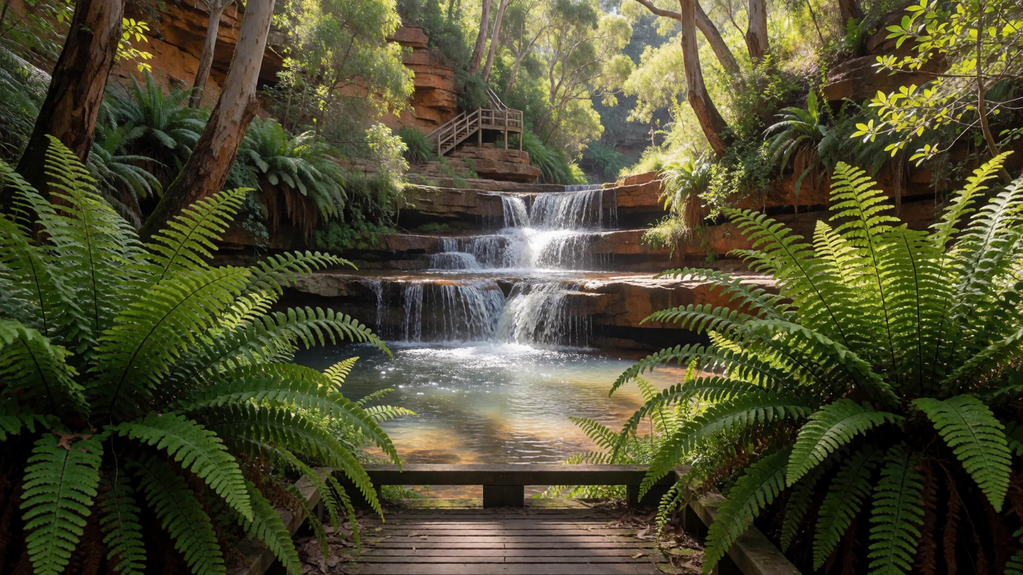
Culture
Karijini National Park is living Aboriginal country, and the Banyjima, Kurrama and Innawonga peoples still hold strong connections to it. Many visitors come for the gorges without thinking about the people whose names and stories are attached to them. The visitor centre is a good place to learn more about the people who have known this country longest.
Respect in practice is mostly about how you treat the land. Gorge walls are fragile and some ledges are slippery, so keep to marked paths and do not climb over rock formations for a photograph. Swimming holes can be fed by fast water after rain, so take any closure warnings seriously. Camping is restricted: outside the Dales campground and the Karijini Eco Retreat, camping and overnight parking are not permitted anywhere in the park.
Quiet matters too. Gorges carry sound a long way, so keep voices low around pools where others are resting, and take all food scraps and wrappers with you, since food left out can draw wildlife. Leave every rock, plant and object where you found it, and pack out everything you carry in.
What to wear
In Karijini National Park, the traditional dress of the Banyjima, Kurrama and Innawonga peoples is not described in the sources behind this reading, so this section makes no claims about specific garments or textiles. What is well documented is the environment that shaped life here: heat, scarce water and fire. Ask at the visitor centre, or on an Aboriginal-led tour, about cultural practices rather than relying on general descriptions.
What people wear now is practical outdoor clothing. Visitors on the gorge trails generally wear long-sleeved shirts or light trousers, broad-brimmed hats and closed shoes with grip. Swimwear goes on at the pools, with a loose layer over it for the walk back. Nobody dresses up here, and the park is practical rather than formal.
For a visit, dress for the terrain and the weather. Daytime sun is intense in every season, so cover your arms and neck, use sun protection and bring a hat. Flies can be a nuisance, and a light long-sleeved shirt helps. Choose closed shoes with good grip for wet, rocky gorge floors, and leave flip-flops for the pool edges. In the cooler months nights can be cold, so pack a warm fleece or jacket.
What to eat
- Restaurant meal at the Karijini Eco Retreat — Karijini Eco Retreat, within the park
The restaurant at the Karijini Eco Retreat is the main sit-down option inside the park. Seating is limited, so booking is strongly recommended, especially in the cooler months. Opening times change through the year, so check the retreat or the official site before planning an evening around it.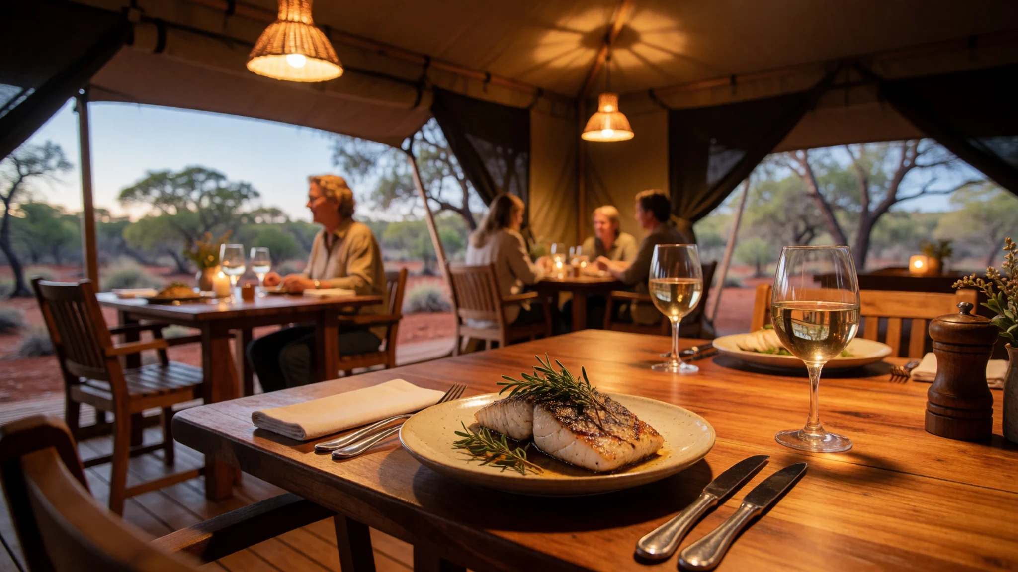
- Takeaway burger — Takeaway counter at the Karijini Eco Retreat
The eco retreat also runs a burger takeaway, which is handy after a long day on the trails. It is a simple, filling option when you would rather not cook. Check when it is open before you set out.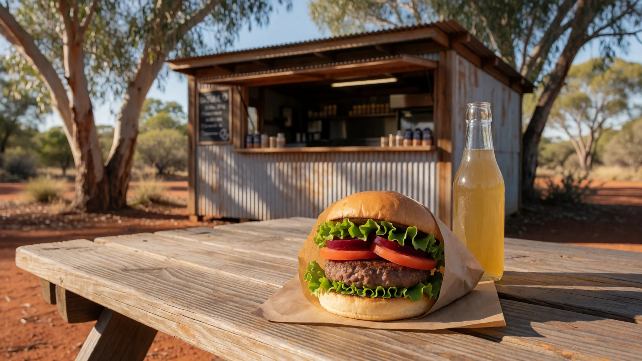
- Barbecue lunch — Barbecue space at Weano Recreation Area
The Weano Recreation Area has a barbecue space and picnic tables, so bring your own meat or vegetables, bread and cooking fuel. It is a good place for a lunch between gorge walks. Pack out everything, including used coals and wrappers. - Self-catered supplies from the highway towns — Shops in Tom Price, west of the park, before you enter
Tom Price, a small mining town west of the park, is the place to stock up on food before you come in, since options inside the park are limited. Water is available at the park, but campers must bring their own essentials. Plan meals for every day you intend to stay.
Plan it
Best time. May to September, when the days are warm and the nights cold, which suits walking and swimming in the gorges. Summer brings extreme heat, thunderstorms and bushfire risk, and the narrow gorges can flood.
How long. 2–3
Getting there. Fly from Perth to Paraburdoo Airport, a non-stop flight of about two hours, and hire a car there. Drive the Great Northern Highway and turn onto Karijini Drive. Newman and Port Hedland also have hire cars, but they are further away.
Budget. mid
Tips
- Book the eco retreat restaurant ahead, because seating is limited
- Start gorge walks early, before the day heats up
- If it rains, leave the gorges immediately, since flash floods have caused deaths
- Carry more water than you think you need, plus sun protection; mobile signal is patchy or absent
- Fill the tank before you enter the park, because the nearest fuel is outside it
Etiquette
- Stay on marked tracks and keep back from crumbling gorge edges
- Camp only at Dales campground or the Karijini Eco Retreat, since other overnight parking is not permitted
- Take all your rubbish out with you
Nearby
Sources
- Wikidata Q1729357 (CC0)
- Wikipedia, Karijini National Park (rev 1362778593) (CC BY-SA 4.0)
- Wikivoyage, Karijini National Park (rev 5331361) (CC BY-SA 4.0)
- Photo: Colors of Karijini NP (WA), Bäras (CC BY 3.0)
- Photo: Dales Gorge, Graeme Churchard (CC BY 2.5)
- Photo: Rothschild's rock-wallaby, Evan Pickett (CC BY-SA 4.0)
- Photo: Handrail Pool, Weano Gorge, Bäras (CC BY 3.0)
- Photo: Rufous Toadhopper, Toby Hudson (CC BY-SA 4.0)
- Photo: Western desert tree frog, LiquidGhoul (CC BY-SA 4.0)
- Photo: Fortescue Falls within Dales Gorge, Hugo Innes (CC BY-SA 4.0)
- Photo: Geophaps plumifera ssp. ferruginea, Thibaud Aronson (CC BY-SA 4.0)


