Joshua Tree National Park
Joshua Tree National Park, United States
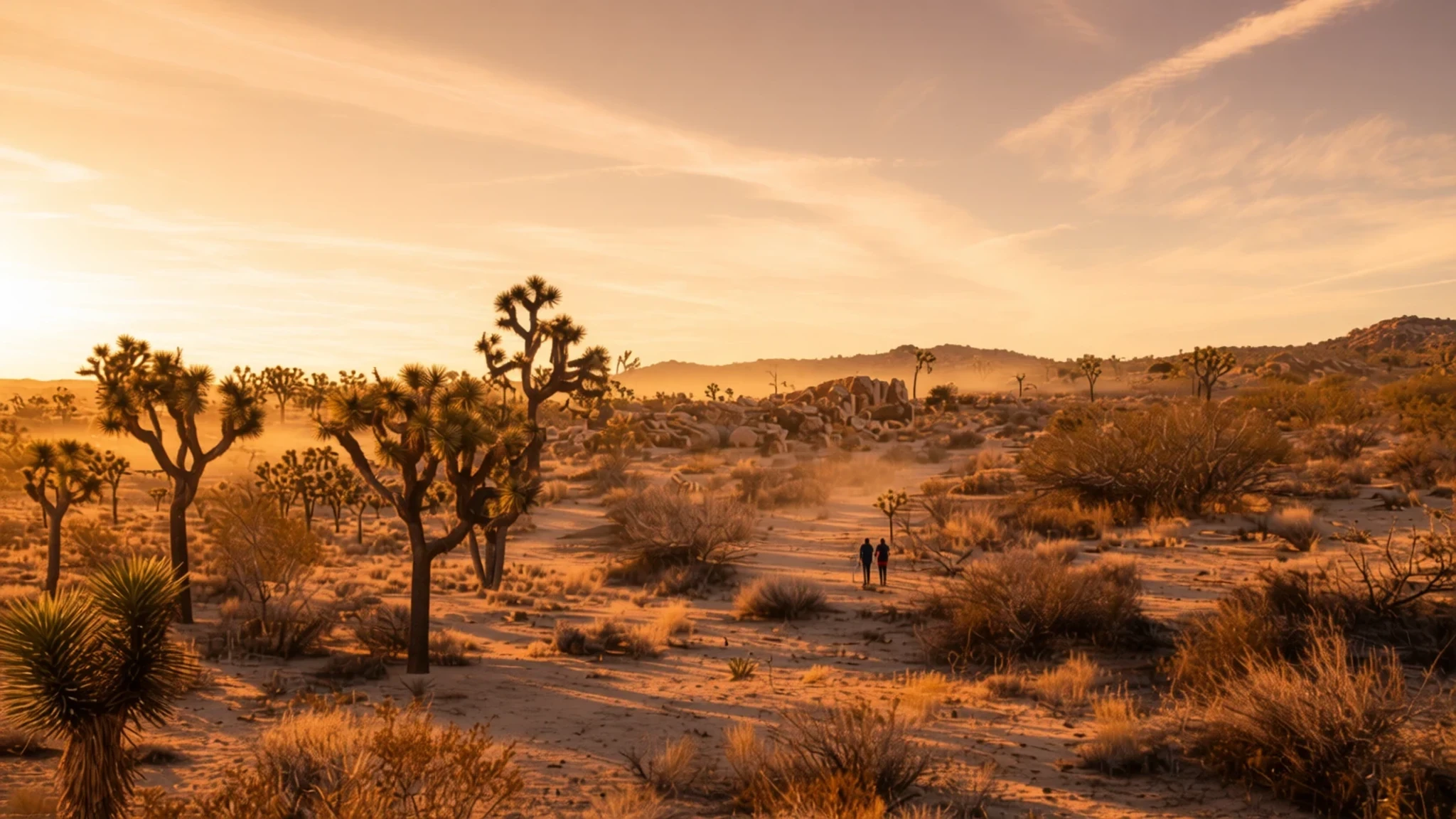
Joshua Tree is a desert of granite boulders and spiky yuccas, best walked in the cooler months when the days are gentler.
The place
Joshua Tree National Park lies in southeastern California, covering the northern part of Riverside County and a corner of San Bernardino County. It sits about 130 miles (211 km) east of Los Angeles, and the nearby towns of Indio, Palm Desert and Palm Springs are the usual bases for a visit. The park takes its name from the Joshua tree, a branching, spiky yucca that grows here and across the surrounding desert and is easy to recognise even from a slow-moving car.
The park covers roughly 1,240 square miles and spans two deserts. The higher Mojave Desert takes up much of the north and west, with cooler nights and a greater mix of plants, while the lower Colorado Desert lies toward the east and south, where the ground drops and the heat builds through the day. Elevation does most of the work in deciding which plants and animals appear in which place, so a short drive can change the landscape noticeably. The Little San Bernardino Mountains bound the park along its southwest edge.
Much of the scenery is granite, weathered into piles of rounded boulders that stack into formations with names such as Jumbo Rocks and the Wonderland of Rocks. Dry washes and hidden canyons run between them, and the open flats are wide enough that the sky dominates. Most visitors come for walking and scrambling among the rocks, and many stay on into the night to watch the stars.
Its story
Joshua Tree National Park has a human history that stretches back several thousand years. The Pinto culture lived and hunted across the area long before written records, leaving stone tools and spear points that were later found in the Pinto Basin. Their diet is thought to have centred on game and seasonal plants, but little else survives of their everyday lives.
Later residents included the Serrano, Cahuilla and Chemehuevi peoples, who settled in small villages close to reliable water, above all at the Oasis of Mara, in the place non-Indigenous settlers later called Twentynine Palms. They lived largely on plant foods, supplemented by small animals, and made medicines, bows, arrows and baskets from desert plants. The Mojave people travelled trails between the Colorado River and the Pacific coast, using the park's resources along the way. Small numbers of all four peoples still live in the region, and the Twentynine Palms Band of Mission Indians, descendants of the Chemehuevi, hold a reservation in Twentynine Palms.
Europeans first recorded the Joshua tree in 1772, when a Spanish party led by Pedro Fages went after Indigenous converts who had fled a mission in San Diego. Later the land was used for cattle and mining, and a dam was built to hold water for both, a reminder of how scarce water has always been here. The area was declared a national monument in 1936. It became a national park in 1994, when Congress passed the California Desert Protection Act.
What to see
- Jumbo Rocks
Jumbo Rocks is among the park's most visited areas, known for its large granite formations and the hidden canyons between them. The easy-to-moderate trail to Skull Rock is a popular first walk, and the rocks make a good place to spend a slow afternoon watching light change across the flats.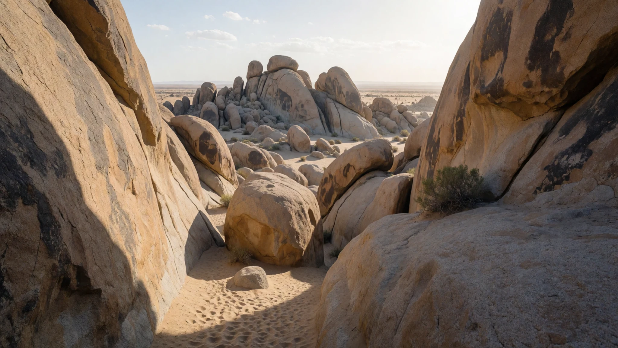
- Keys View
Keys View is an overlook that draws large crowds for sunset. From the top, the Coachella Valley spreads out below, and the San Andreas Fault can be traced across the landscape. Arrive early in the evening to find a space and to watch the light fade over the valley.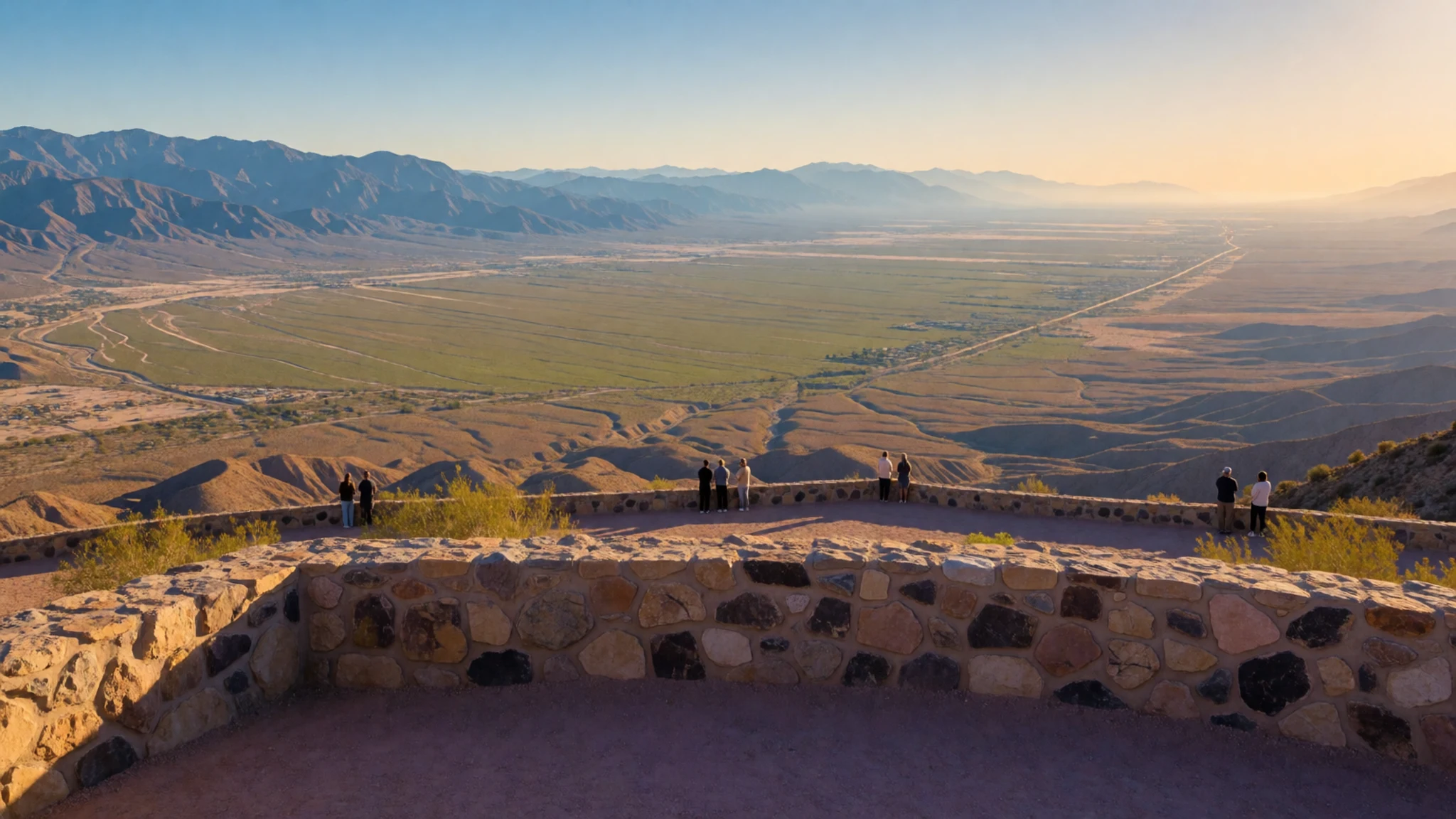
- Cholla Cactus Garden
A short walk through the Cholla Cactus Garden takes you through a dense stand of cholla, a cactus with an especially prickly outer surface that looks soft from a distance. The garden sits near the boundary between the Colorado and Mojave Deserts, so the plant mix shifts as you walk. Keep to the marked path.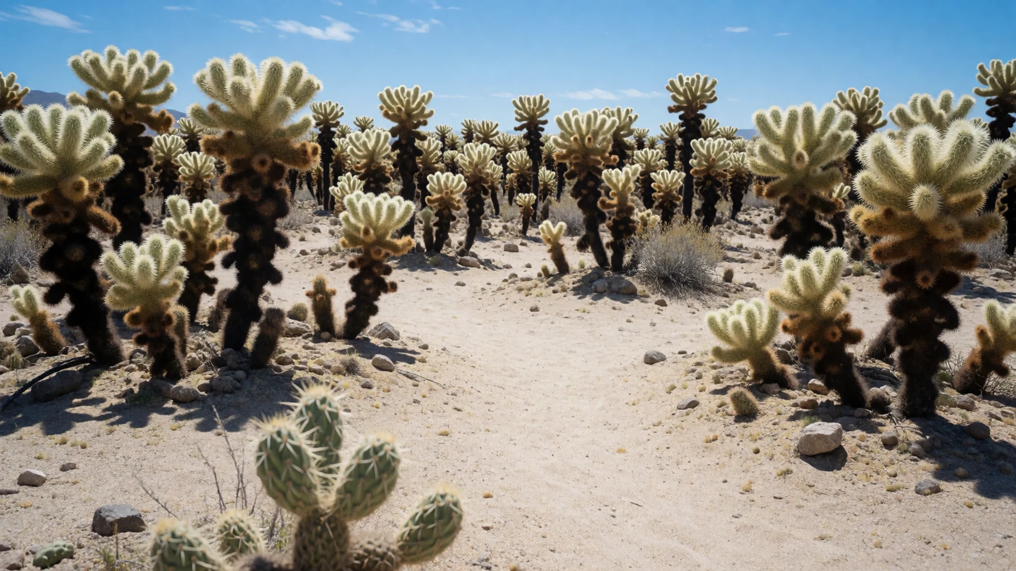
- Hidden Valley
Hidden Valley lies in the north of the park, where a short loop trail winds through boulders to a sheltered hollow. Local legend links it to cattle rustlers who used the spot as a hideout. The area is close to the Hidden Valley campground, so it is a convenient stop for anyone staying nearby.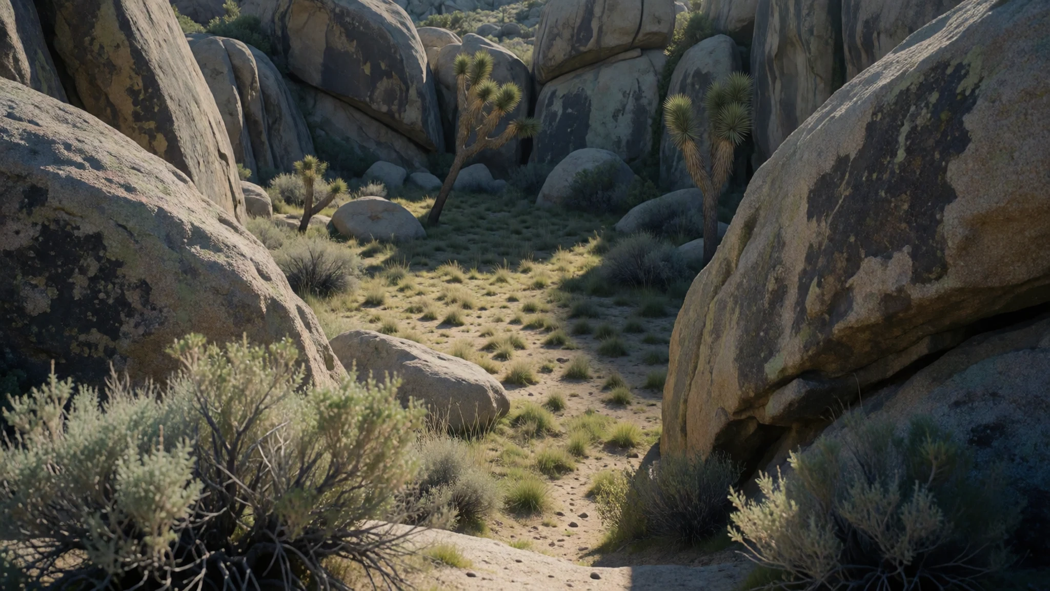
- Barker Dam
Barker Dam was built to hold water for cattle and mining, and it is now listed on the National Register of Historic Places. The reservoir is rain-fed, so it fills only after storms, and it draws birds and other wildlife to the edge of the desert. Officials have closed Barker Dam to visitors because of graffiti, so check the park's current status before you set out.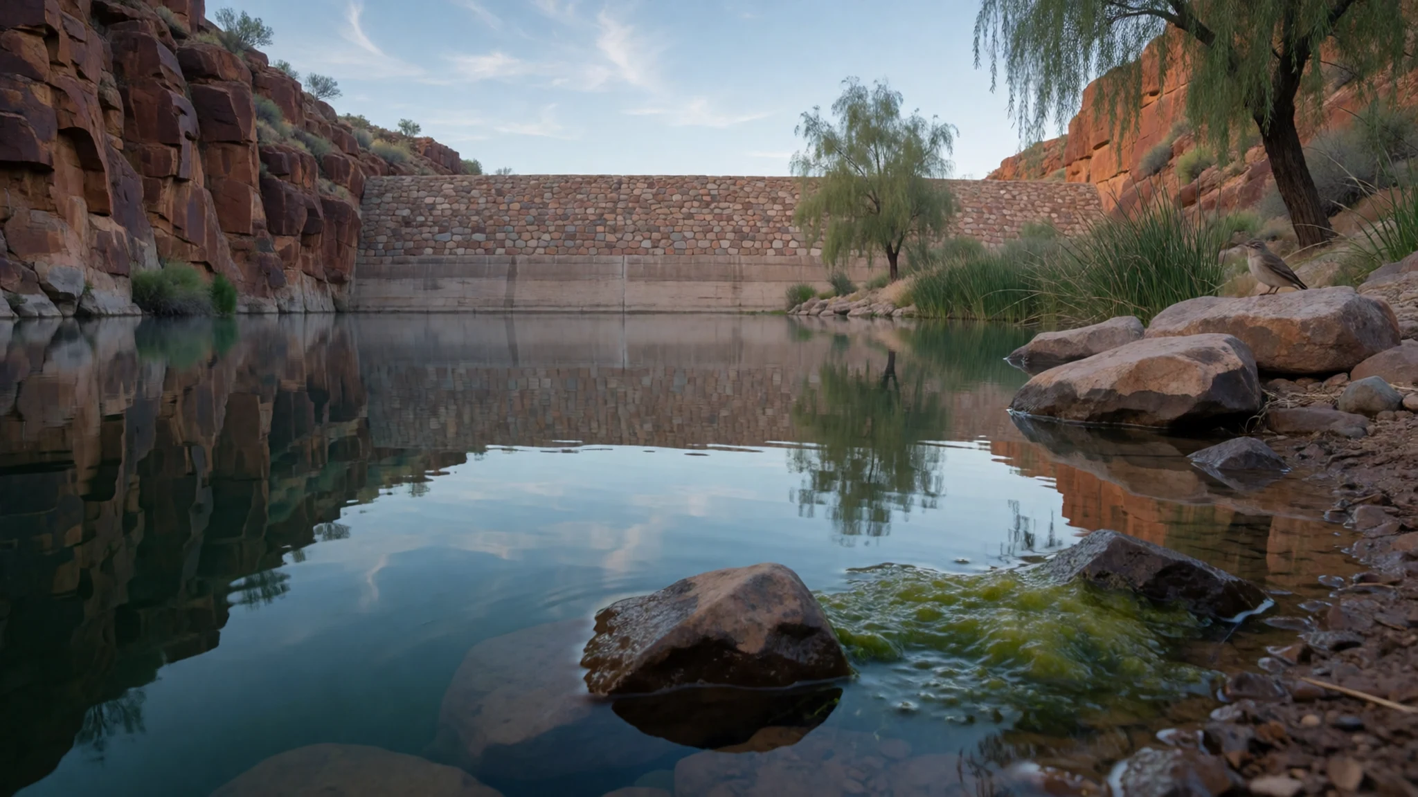
- Lost Horse Mine
The Lost Horse Mine mill was one of the more productive gold operations in the park. Its remains show how ore was crushed and processed on site. The mill is a short walk from the road, and it gives a clear sense of how hard life was for the people who worked the ground here.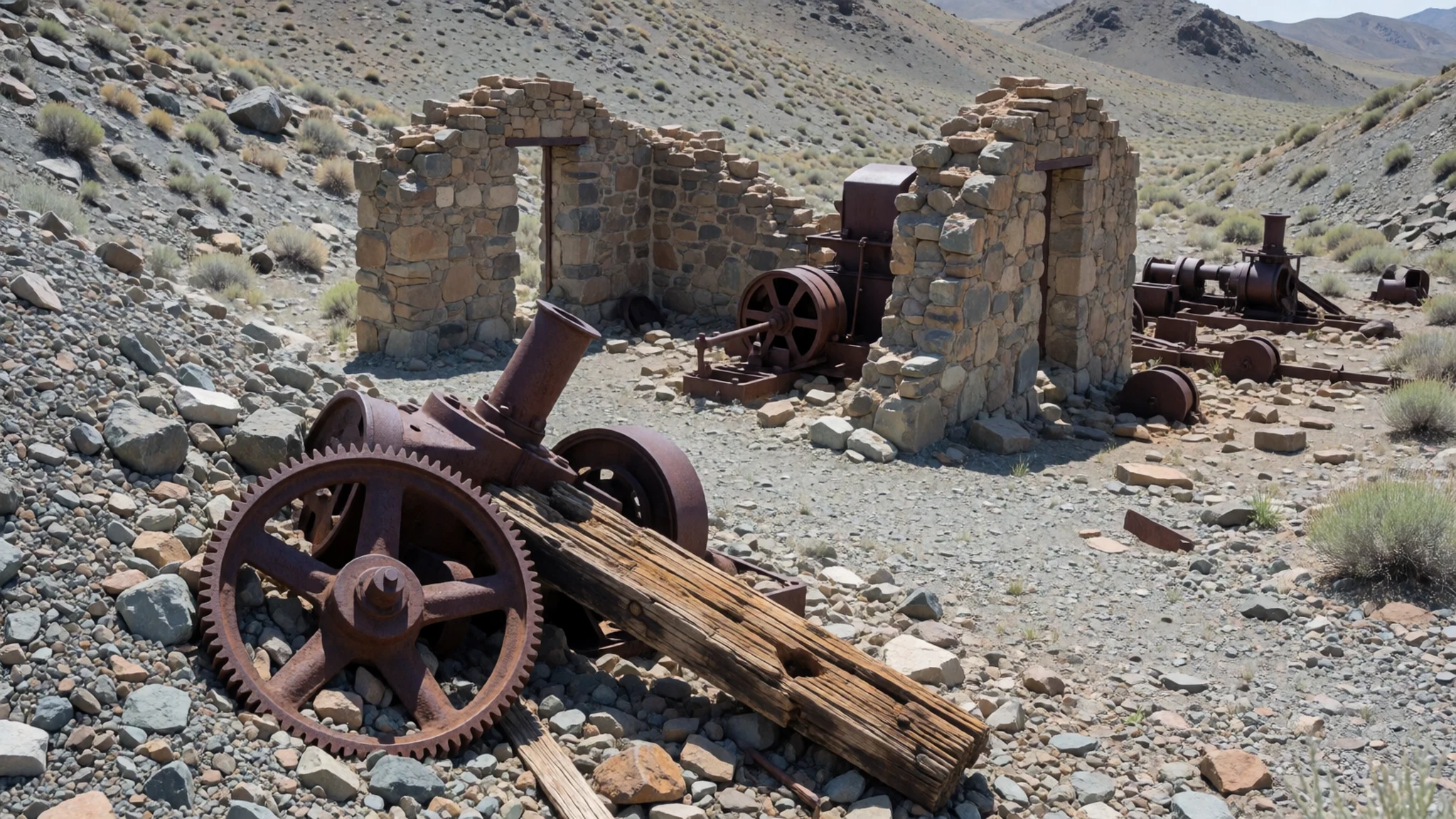
Culture
Joshua Tree's culture is layered, shaped by the desert peoples who lived here for thousands of years and by the ranchers, miners and artists who came later. The Serrano, Cahuilla and Chemehuevi peoples still have descendants in the region, and the Twentynine Palms Band of Mission Indians holds a reservation in Twentynine Palms. Their connection to the land predates the park by a very long time.
Today the towns around the park have a relaxed, independent character. Joshua Tree Village is known for its vegetarian-friendly eateries and for a farmers' market that runs every Saturday of the year. Many visitors are drawn to the area's artists and creative communities, and the quiet pace of the desert suits slow travel more than fast sightseeing.
Do not take rocks, plants or wood from the park, and keep to marked trails so that the cryptobiotic soil and the desert plants are not damaged by footsteps.
What to wear
Joshua Tree's Indigenous dress is not well documented in general accounts, but the desert peoples who lived here made baskets, bows and clothing from plant fibres and animal hides, and woven basketry was central to daily life. Traditional dress among the Serrano, Cahuilla and Chemehuevi is best explored through museum collections rather than assumptions.
Today people in the surrounding towns dress in a casual, practical way. Wide-brimmed hats, loose cotton shirts, sunglasses and sturdy trousers are common, and many people carry a fleece or light jacket for the cool desert nights. Artists and musicians in the area often combine denim, boots and handmade jewellery.
For the park itself, dress for sun and cold at once. Choose light, breathable layers that you can add to after dark, as the temperature drops sharply once the sun goes down. Sturdy closed shoes with good grip are essential for scrambling over granite, and a hat and sunscreen protect against the strong daytime sun. There is no formal dress code at the park, but loose clothing that covers the arms and legs helps with both sun and scratchy plants.
What to eat
- Farmers' market produce — The Saturday market in Joshua Tree Village
The farmers' market in Joshua Tree Village runs every Saturday, all year round, and is the easiest way to buy fresh fruit, vegetables and bread for a picnic. Stalls are small and local, so bring cash and expect to chat with growers about what is in season.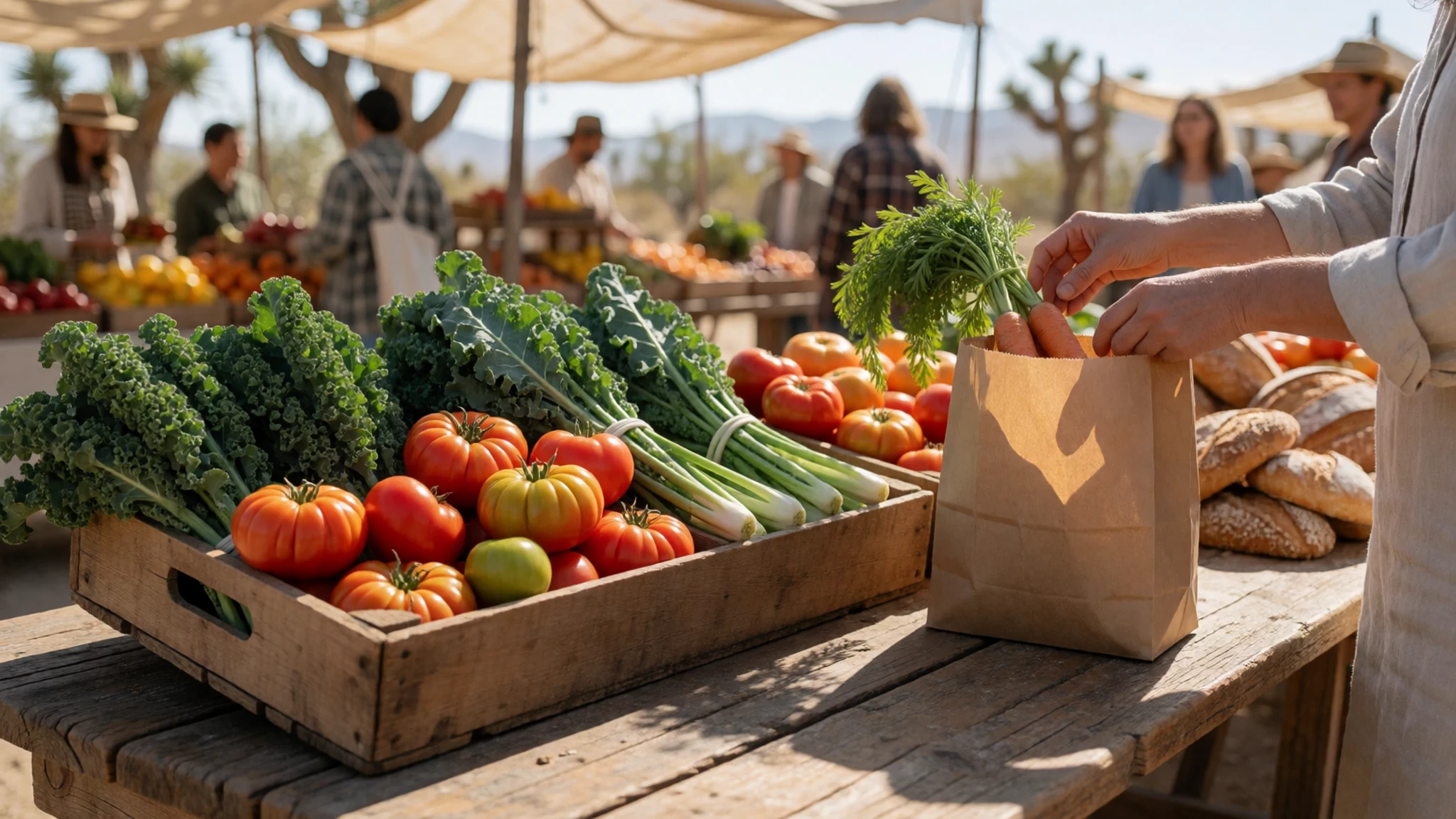
- Vegetarian and vegan plates — Eateries on the main street of Joshua Tree Village
Joshua Tree Village has a good range of meat-free dishes, including bowls, salads and plant-based sandwiches. Several eateries in the village focus on vegetarian and vegan cooking, so it is a good place to eat well without relying on a packed lunch.
- A sit-down lunch — Restaurants in Twentynine Palms, along the highway north of the park
Twentynine Palms has several places serving straightforward American-style lunches, including burgers, grilled dishes and simple salads. These suit a long midday break after a morning in the rocks, and they are a convenient option on the drive in from the north entrance. - Picnic lunch in the park — Quail Springs picnic area or another picnic area inside the park
There are no restaurants or shops inside the park, so a packed lunch is the usual choice. Bring food from Yucca Valley or the villages and eat at a picnic area, where shade is limited. Carry plenty of water, as it is available only at visitor centres and a few campgrounds.
Plan it
Best time. November to February are the most comfortable months, when the days are mild enough for walking and the nights are cold, so pack warm layers. Summer days are very hot, and the park can be uncomfortable for much of the day, so check the official site for current conditions before you go.
How long. 2–3
Getting there. Palm Springs is the nearest airport with scheduled passenger flights, about an hour's drive from the north entrance by car. Alternatively, fly into Los Angeles and drive about 130 miles (211 km) east, or hire a car at either airport. Palm Springs also has an Amtrak station on the Sunset Limited route, with a taxi or car needed for the final leg.
Budget. low
Tips
- Arrive early on weekends, as lines often form at the west and south entrances during the morning
- Check the official park website for entrance details, passes and any current closures before you leave
- Carry more water than you think you need, as it is available only at visitor centres and a few campgrounds
- Walk the rock formations in the cooler hours and leave the heat of midday for the shade
- Stay for sunset at Keys View, but plan the drive back before dark, as roads are unlit
Etiquette
- Stay on marked trails and do not climb on fragile rock formations or cacti
- Do not take rocks, plants or wood from the park
- Keep dogs and food away from wildlife and never feed animals
Nearby
Sources
- Wikidata Q735202 (CC0)
- Wikipedia (rev 1379223507) (CC BY-SA 4.0)
- Wikivoyage (rev 5384261) (CC BY-SA 4.0)
- Photo 01-joshua-tree-national-park-2025.jpg (CC BY-SA 4.0)
- Photo 02-joshua-tree-cyclops-potato-head-sunrise.jpg (CC BY 3.0)
- Photo 03-joshua-tree-01.jpg (CC BY 3.0)
- Photo 04-opuntia-chlorotica-dollarjoint-pricklypear-in-joshua-tree-na.jpg (CC BY-SA 4.0)
- Photo 05-cholla-cactus-garden-joshua-tree-2022a.jpg (CC BY-SA 4.0)
- Photo 06-giant-marbles-in-joshua-tree-national-park.jpg (CC BY 3.0)
- Photo 07-quail-springs-joshua-tree-2022a.jpg (CC BY-SA 4.0)
- Photo 08-wonderland-of-rocks-pano.jpg (CC BY-SA 4.0)


