Jirisan National Park
Jirisan National Park, South Korea
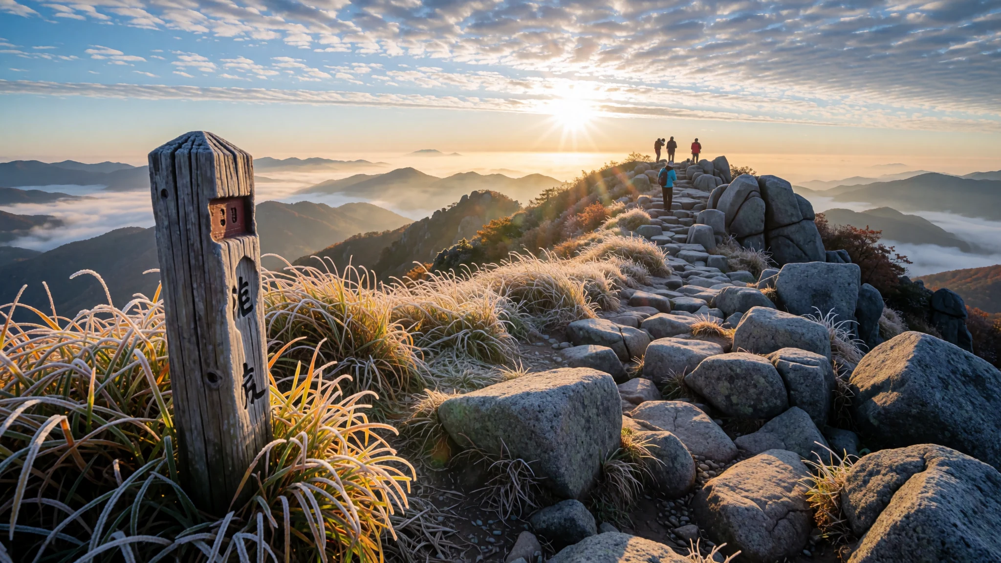
Korea's first national park, with a 40 km ridge of twelve peaks above 1,000 m and some of the country's best hiking.
The place
Jirisan National Park spreads across the meeting point of three provinces in the south of South Korea: South Jeolla, North Jeolla and South Gyeongsang. Its edges touch the towns of Namwon, Gurye and Hamyang, and the park covers about 320 square kilometres of folded ridges and deep valleys. It was designated in 1967 as the first national park in the country, and it remains the largest terrestrial one, with a strong focus on protecting biodiversity. Conservationists run a well-known programme for the Asiatic black bear, alongside a restoration effort on ground damaged by too many feet.
The landscape is built around the Baekdudaegan, the long mountain spine of the Korean peninsula, which begins its run here and continues north towards the border with China and North Korea. Twelve peaks rise above 1,000 metres along a ridge about 40 kilometres long. The highest, Cheonwangbong at 1,915 metres, is the second-highest mountain in South Korea, and from its open summit the rest of the range falls away in layers.
Lower down, the mood changes. Valleys hold old hardwood forest, temple grounds, waterfalls and meadows of royal azalea. Hadong, at the western foot, is known for its green tea. The park is large enough that a visitor could spend a week on one side without repeating a trail, and most of the paths are for walkers, so the day is measured in steps rather than kilometres driven.
Its story
Jirisan has been a sacred mountain for far longer than it has been a park, and Koreans have worshipped on its slopes for generations. It is counted among three holy mountains of the peninsula, alongside Geumgangsan and Hallasan. Its name is usually taken to mean 'mountain of wise people', a reference to the hermits who once withdrew into its valleys to train their minds. They were numerous enough to influence the name, and the idea of retreat still hangs over the place.
The formal change came in 1967, when Jirisan became the first national park in South Korea. That decision moved the mountain from a spiritual landmark to a protected landscape. Conservation has since grown to include the Asiatic black bear and the repair of ground worn bare by heavy foot traffic. Restoration work on overused areas is one of the park's more distinctive efforts, and it reflects how hard the trails were once pressed.
Recent years have brought fresh attention, including a television drama set on the mountain and a steady flow of hikers along the main ridge. The mountain's weight shows most clearly at its temples, such as Sanggyesa and Hwaeomsa, which have long served as places of prayer in the foothills. Taken together, the sacred, scholarly and conservation histories give the ridge a sense of continuity that holds through each new wave of walkers.
What to see
- Cheonwangbong peak — Central ridge
Cheonwangbong is the highest point in the park, at 1,915 metres, and its summit is open on all sides, so the sunrise is seen without trees in the way. Reaching it is a long day on foot, and the wind can be sharp even in summer. Visitors who want the eastern sky to themselves usually set out in the dark with a headlamp.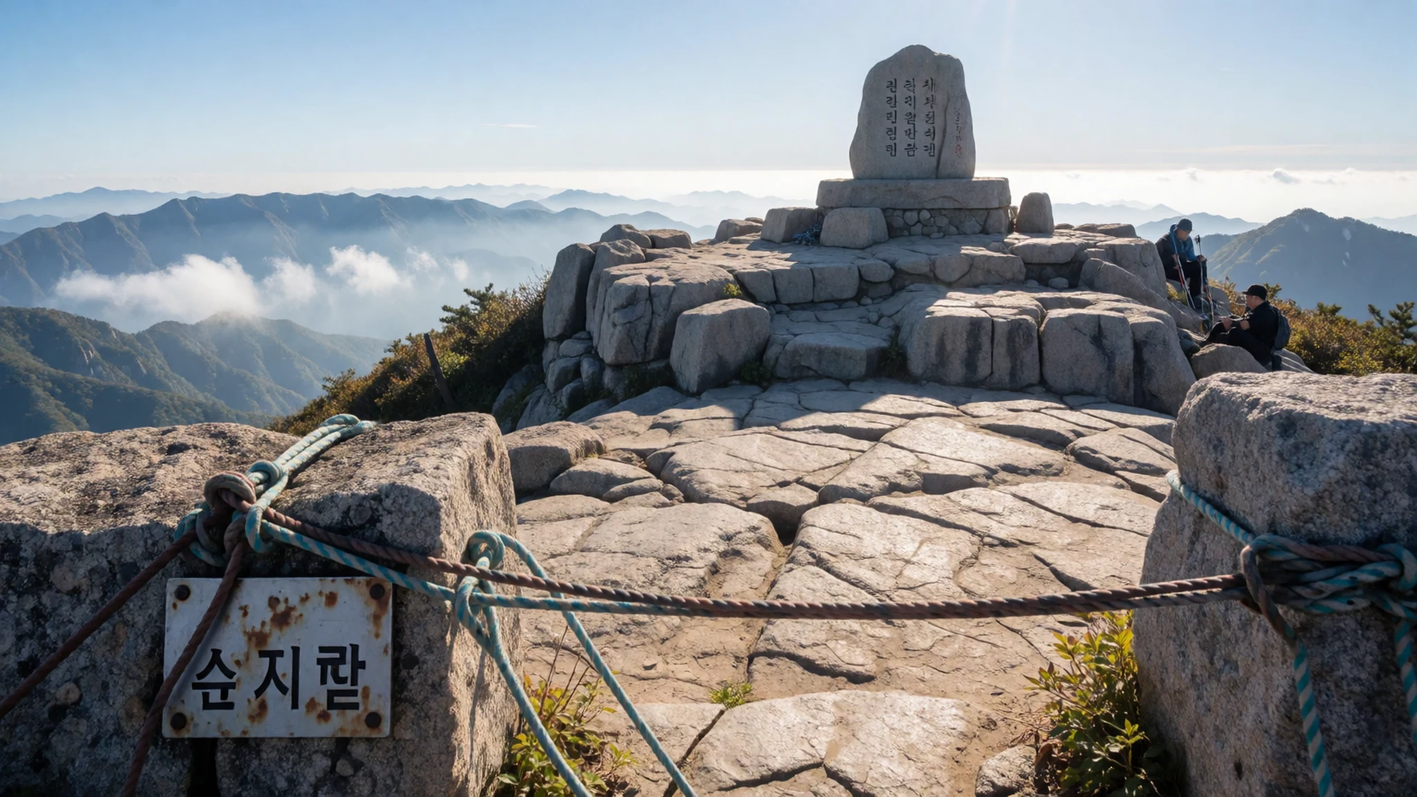
- Piagol valley — Western valleys
Piagol, the largest hardwood forest on the mountain, turns colour from mid-October. Its autumn leaves are subtle rather than fiery, which suits those who prefer muted russets and ochres to the blazing reds of other Korean peaks. Going on a weekday, if the schedule allows, spares the valley some of its busiest hours.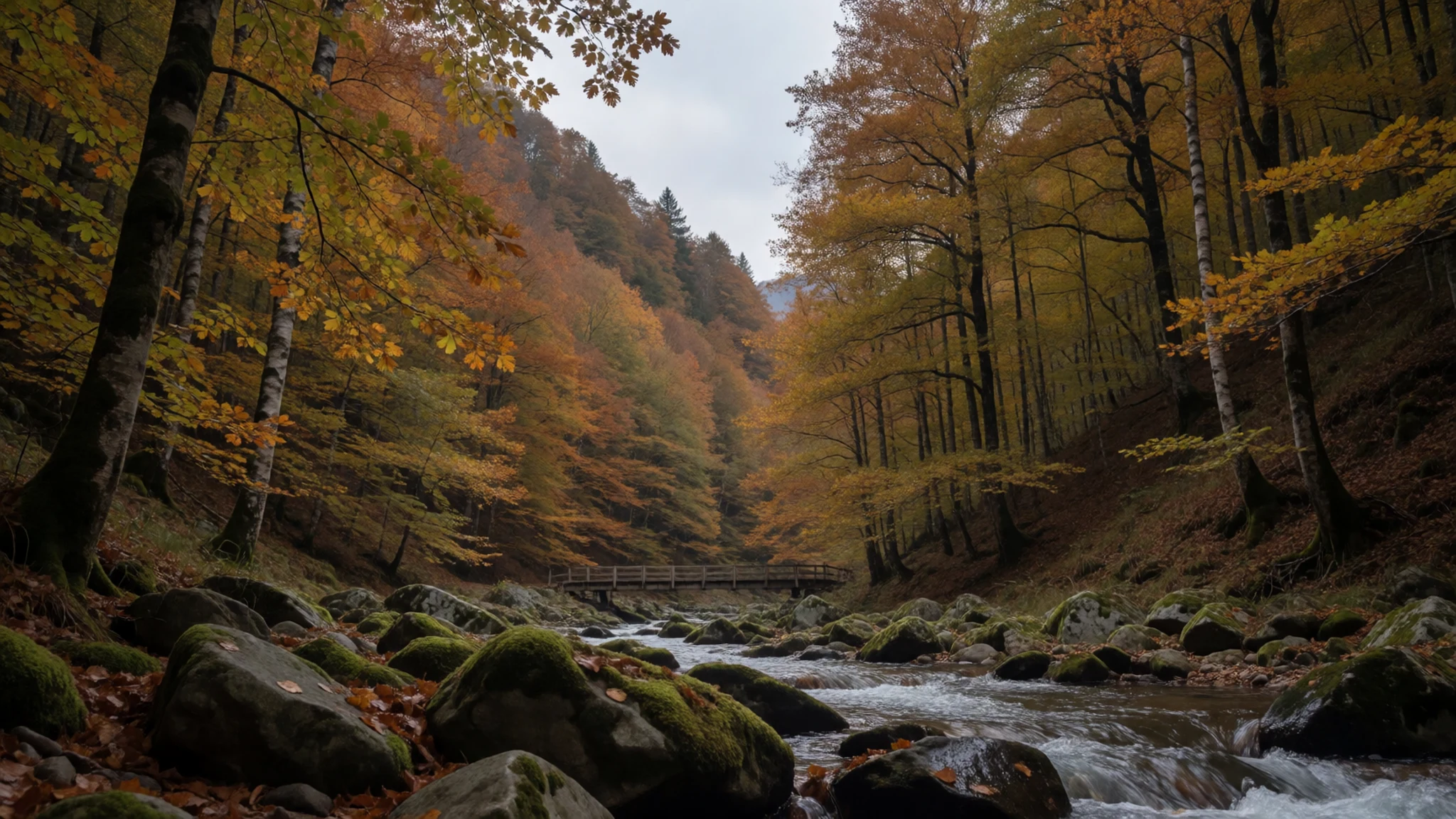
- Nogodan peak — Western ridge
Nogodan is the highest peak on the western side of the main ridge. Cloud gathers between the ridges and drifts over the Seomjin River, and on clear days the view extends south towards the Namhae coast. The summit suits walkers who want wide views without a summit push on the highest peaks.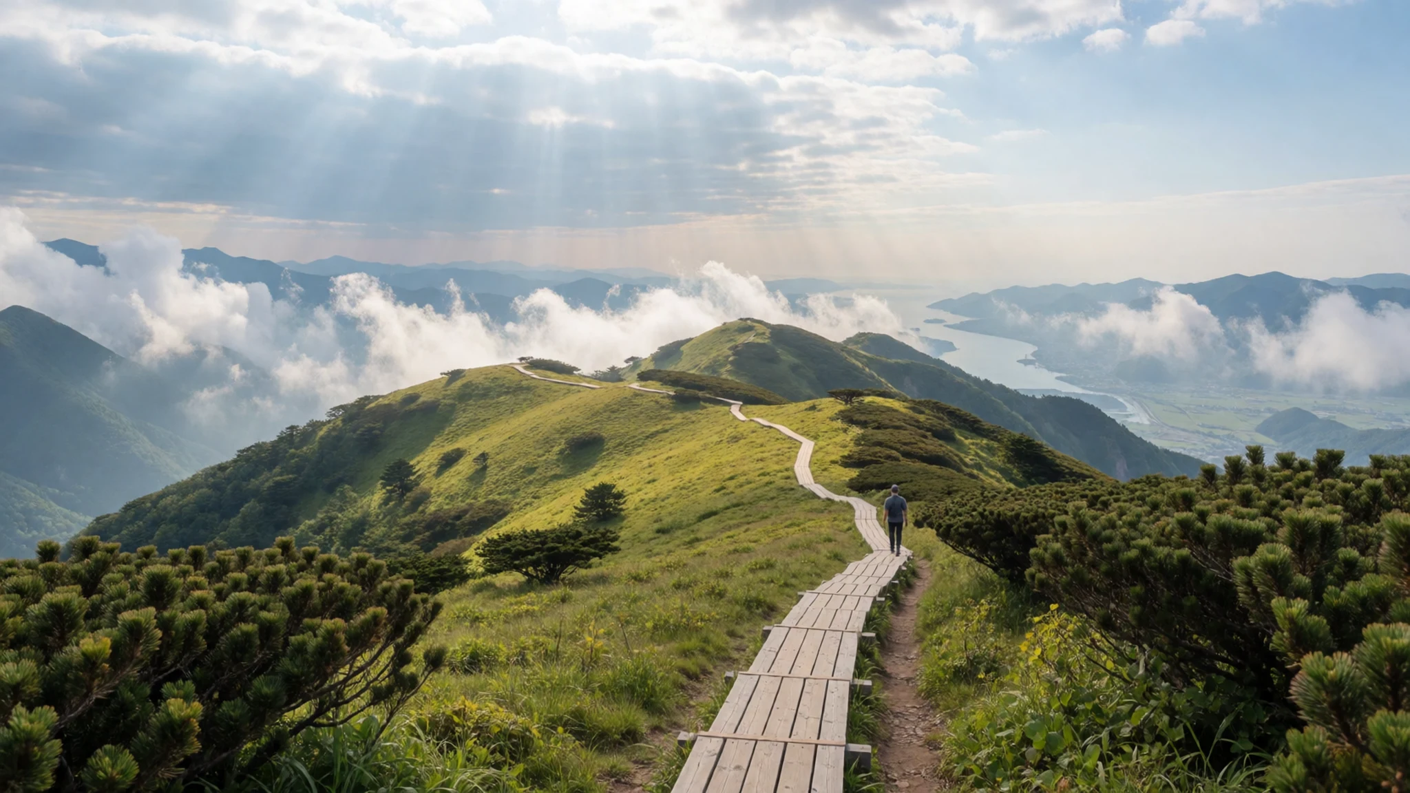
- Se-seok flat — Eastern ridge
Se-seok flat is one of the main habitats of royal azaleas on the mountain, and in flowering season the slopes turn rosy in wide sweeps. The bloom moves with the weather, so check recent reports before planning a trip. The meadows are exposed to wind, so carry a windproof layer even on a warm day.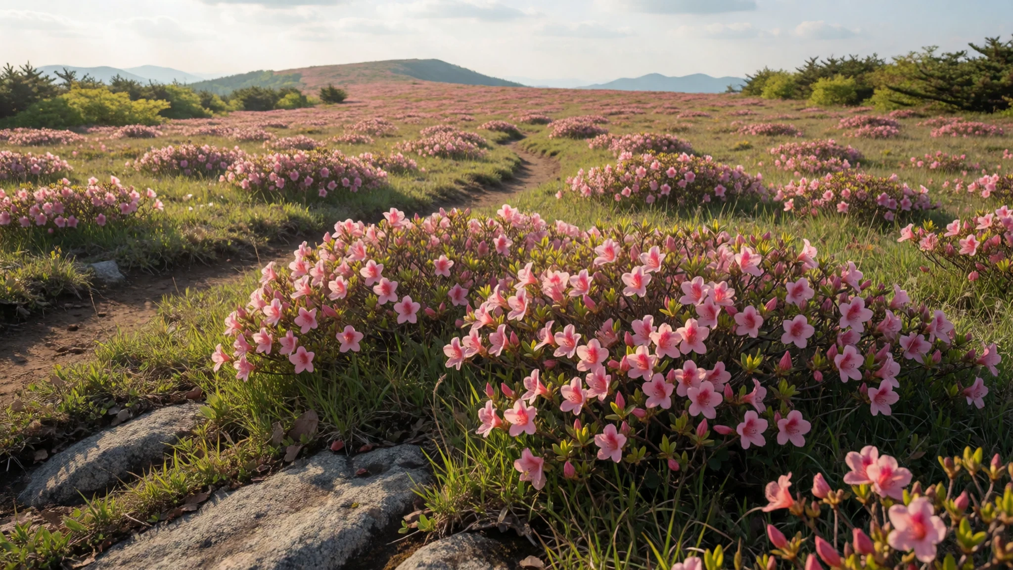
- Sanggyesa temple — Hadong side, below the mountain
Sanggyesa is one of the major temples in Korea, and buses run to it from Hadong Terminal. Bulil Falls, one of the district's scenic spots, lies close by. The spring cherry blossom season draws extra visitors to the grounds, so mornings are calmer than the afternoons.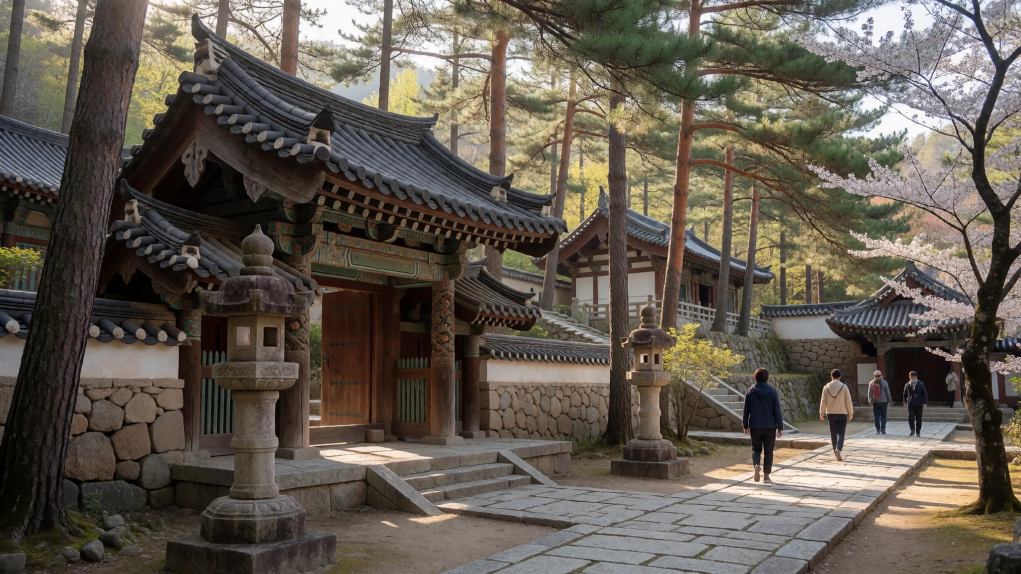
Culture
Jirisan is a mix of mountain tradition and Buddhist temple life. Hermits and monks have used its valleys for centuries, and that shapes how many people approach it: quietly, with respect for the shrines and the old forest paths. Temple compounds such as Sanggyesa and Hwaeomsa are working places as well as sights, and monks keep daily routines within them. Hikers usually greet one another on the trail with a short nod, and it is courteous to step aside for people coming downhill, since the ridges are steep and narrow in places. Mountain huts run on shared rules, so keep noise low after dark and fold your bedding neatly. Spring water is widely drunk, so leave nothing at the springs and carry out everything you bring up. Food is often shared at the huts, and an offer from the cook should be accepted graciously. Keep your voice down in temple grounds and ask before photographing monks or anyone at prayer.
What to wear
At Jirisan National Park, the traditional dress is the hanbok, a garment with a short jacket, the jeogori, and a long wrap skirt, the chima, for women, or loose trousers, the baji, for men. Summer hanbok are often made of ramie or light cotton, while silk and brocade are kept for festivals, weddings and formal occasions at temples. People who wear hanbok today tend to do so for holidays and ceremonies, not for walking in the hills. On the trails, most hikers wear technical jackets, fleece layers, quick-dry trousers and sturdy boots. Older villagers in the valleys often wear practical cotton trousers, a loose top and a sun hat. For a visitor, layers matter more than fashion: the ridge stays cold and windy even when the valleys are warm, so pack a waterproof shell, a warm hat and gloves for autumn and winter. Temple visits call for modest dress with shoulders covered and shoes that slip off easily. For the rocky paths, choose boots with ankle support and good grip.
What to eat
- Bibimbap without gochujang — A reservation-only Korean restaurant near Hadong
A mixed rice bowl of seasoned vegetables and egg, served without the chilli paste that most versions carry, so the flavours are milder and more herb-led. One reservation-only Korean restaurant near Hadong builds its main menu around this style. Arrange a table before the day of the climb.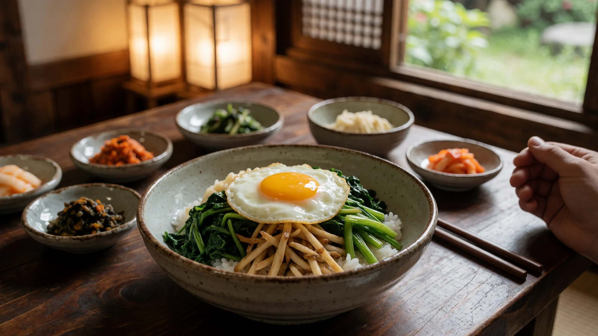
- Lotus leaf rice — A traditional Korean restaurant on the Namwon side
Glutinous rice seasoned and wrapped in a lotus leaf, so the grains take on a faint herbal scent as they steam. A traditional Korean restaurant on the Namwon side serves it alongside grilled bulgogi and grilled fish, making a generous midday meal.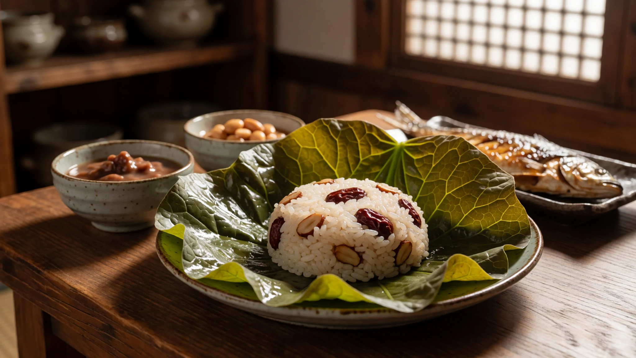
- Doenjang and kimchi jjigae — A morning eatery on the Hadong side
Soybean paste stew, doenjang jjigae, and kimchi stew, kimchi jjigae, are the basics of a Korean home table. A morning eatery will often serve them with rice and small side dishes. Both are bubbling, savoury and well suited to cold mornings before a climb. - Hadong green tea — Tea shops and stores in Hadong and around the park
Hadong is known for green tea, and shops around the park sell the leaves by the bag, so visitors can take a supply home. Serious tea drinkers time a visit for May, when the Hadong Wild Tea Cultural Festival takes place. - Garden cafe coffee — A roastery cafe in a garden, looking towards the mountain
A garden cafe with a view of the mountain roasts its own beans and sells several kinds of coffee, making it a pleasant stop for an unhurried drink. A window seat is worth asking for when the peaks are clear.
Plan it
Best time. Late April to May brings fresh green on the ridge and azaleas at Se-seok, and mid-October to November brings autumn colour in Piagol. Winter is cold and windy on the ridge, and the summer rains and humidity make the trails heavy going.
How long. 2–3
Getting there. Sacheon Airport is the closest, but it only links to Gimpo and Jeju, so most visitors come by road: from Busan, Seobu Terminal runs buses to Ssanggyesa, Jungsan-ri and Gurye, with local buses from Gurye towards the park entrance. Jeonju, Gwangju and Daegu also connect by road. From Sacheon Airport, the Jungsan-ri information centre is about 50 minutes by car.
Budget. mid
Tips
- Start early: the Cheonwangbong sunrise and the quieter trails both favour the first hours of light
- Carry an extra full bottle of water, because some springs on older trail maps no longer run
- Book reservation-only restaurants and hut stays before you arrive
- Carry cash for small eateries and tea stalls, and check the official site for bus and park details before you travel
- Pack warm layers even in summer, since the ridge is far colder than the valleys
Etiquette
- Keep to marked trails and stay off the azalea meadows
- Carry out all litter, including anything left at huts and springs
- Step aside on narrow ridges to let people coming downhill pass
Nearby
Sources
- Wikidata Q717804 (CC0)
- Wikipedia: Jirisan National Park (rev 1364785930) (CC BY-SA 4.0)
- Wikivoyage: Jirisan National Park (rev 5405904) (CC BY-SA 4.0)
- Korea Mountain Jirisan 15 (eimoberg) (CC BY 2.5)
- Biking through Namwon September 2010 (53) (Shamus7792003) (CC BY 3.0)
- Biking through Namwon September 2010 (55) (Shamus7792003) (CC BY 3.0)
- Biking through Namwon September 2010 (56) (Shamus7792003) (CC BY 3.0)
- Namwon Countryside Jucheon Myeon 2010 (1) (Shamus7792003) (CC BY 3.0)
- Namwon Countryside Jucheon Myeon 2010 (2) (Shamus7792003) (CC BY 3.0)
- Namwon Countryside Jucheon Myeon 2010 (3) (Shamus7792003) (CC BY 3.0)


