Jigme Dorji National Park
Jigme Dorji National Park, Bhutan
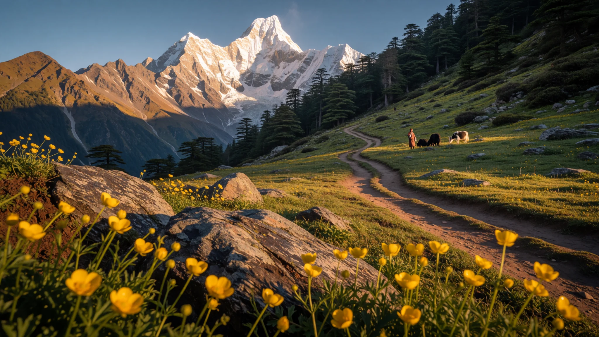
A vast Himalayan sanctuary where snow leopards roam among sacred mountain peaks, ancient dzongs, thermal hot springs, and high-altitude alpine valleys.
The place
Jigme Dorji National Park is a massive protected wilderness occupying much of north-western Bhutan. Spanning sub-tropical forests up to frozen Himalayan peaks, this landscape serves as an ecological bridge between different climate zones. Deep river valleys carve through dense pine and oak woodlands, opening up into expansive alpine meadows that rise towards jagged glacier-capped summits. Because the park spans such extreme variances in elevation, it provides sanctuary for a remarkable range of wildlife. Rare creatures such as snow leopards, Bengal tigers, takins, red pandas, and Himalayan black bears inhabit these mountains alongside blue sheep and hundreds of bird species.
Beyond its untamed forests and high crags, Jigme Dorji National Park remains a living mountain landscape. Small indigenous communities reside inside its borders, tending livestock and harvesting medicinal herbs in balance with the land. Natural thermal springs bubble up through rock fissures across the region, making it an important hub for thermal waters in Bhutan. Traversing the park means moving between misty river canyons, fortified monastery fortress outposts, and wind-swept mountain passes where prayer flags flutter against mountain skies. Whether trekking along remote alpine trails or resting beside glacial streams, visitors experience one of the Himalaya's most pristine and carefully guarded natural realms.
Its story
Jigme Dorji National Park carries a storied history tied closely to the royal lineage and conservation vision of Bhutan. First designated as a wildlife sanctuary in 1974, the reserve was created to honour Jigme Dorji Wangchuck, the third king of the kingdom who laid the foundations for modern Bhutan. In 1993, the country undertook a comprehensive restructuring of its protected territory network, elevating the sanctuary to full national park status while adjusting its boundaries to focus on the rugged north-western wilderness.
Human habitation has long been woven into the fabric of this landscape rather than excluded from it. Around 6,500 residents living across roughly 1,000 households inhabit small settlements inside the park boundaries. These mountain communities rely on subsistence farming, yak herding, and the collection of traditional Himalayan medicinal plants to sustain their way of life. High altitude dzongs and ancient monastic retreats dot the valleys, testifying to centuries of spiritual devotion and defensive border surveillance.
Today, the park stands as a testament to Bhutan's philosophy of gross national happiness, balancing strict ecological protection with community livelihoods. Its high peaks, rare biodiversity, and living cultural heritage have earned it a position on Bhutan's tentative list for UNESCO World Heritage status. Protecting this mountain kingdom ensures that both its wild inhabitants and human communities can continue their timeless coexistence.
What to see
- Lingzhi Yügyal Dzong — Lingzhi, Thimphu District
Perched dramatically at high altitude, this 1668 monastic fortress served as an administrative post and defense stronghold along northern trade routes. Though damaged by earthquakes over the centuries, the dzong remains a striking cultural beacon framed by snow-capped peaks, overlooking remote mountain settlements and wind-swept alpine pastures.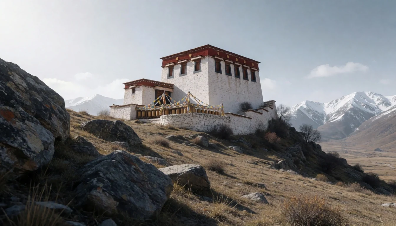
- Gasa Dzong — Gasa District
Constructed in the 17th century over a 13th-century meditation site, this circular fortress features distinct watching towers designed to guard the northern frontier. Serving as the administrative heart of Gasa District, the complex offers sweeping views across forested valleys and stands as a fine example of traditional Bhutanese stone masonry.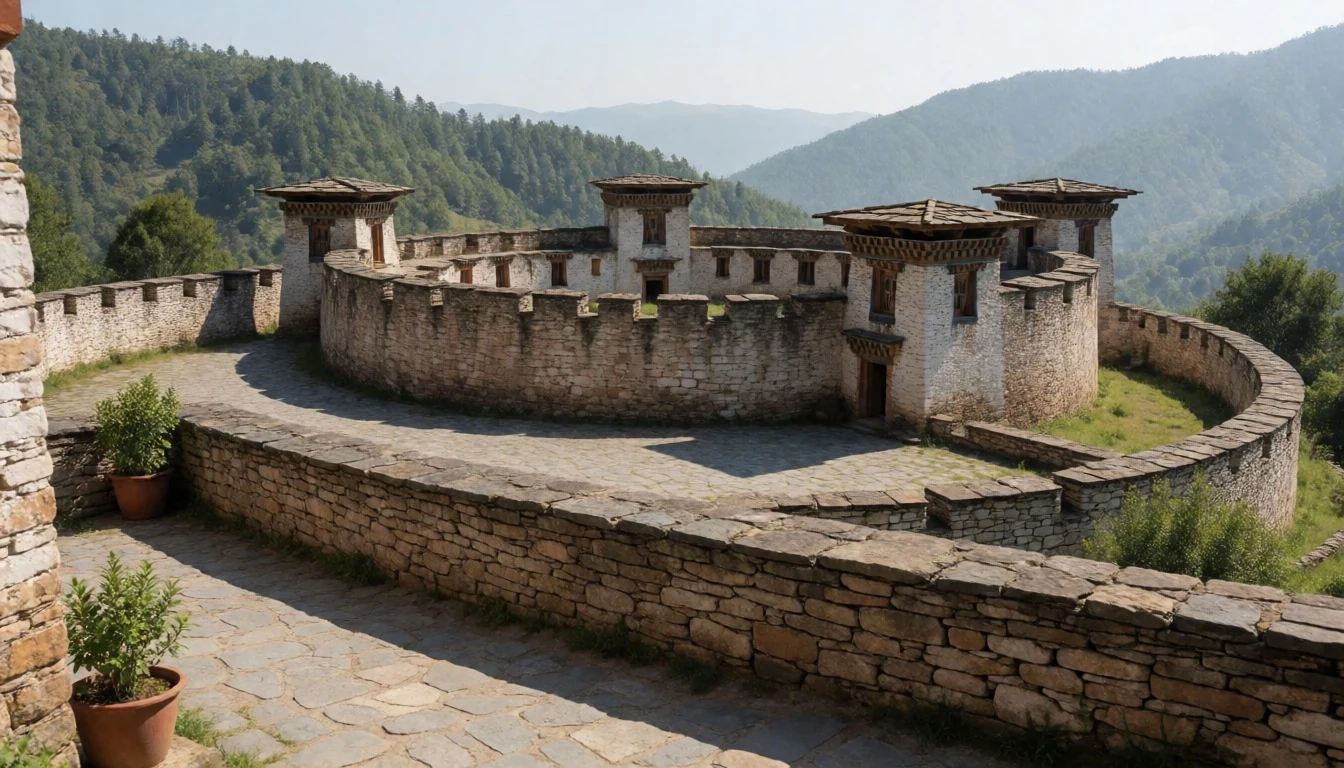
- Gasa Tsachhu Hot Springs — Near Gasa
Tucked into the lush valley below Gasa Dzong, these famed geothermal pools are renowned across Bhutan for their curative mineral properties. Reached via a four-hour walk from the roadhead at Goen Damje, the simple stone bathhouses offer soothing relief for weary trekkers against a backdrop of mountain forest.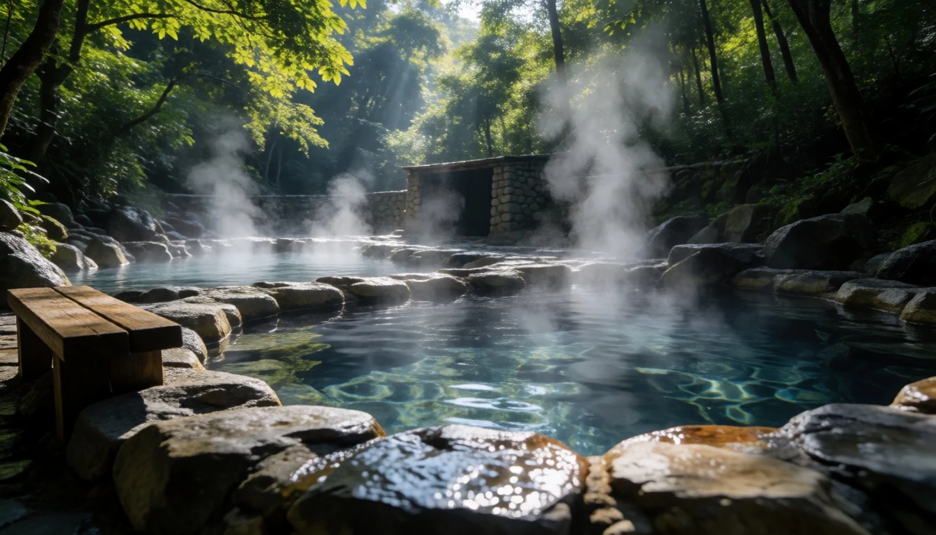
- Laya Village — Gasa District
Home to the indigenous Layap people, this secluded high-altitude settlement sits near the northern frontier. Surrounded by towering Himalayan peaks, the village offers visitors a rare glimpse into a unique culture defined by distinct bamboo conical hats, traditional yak hair garments, and pastoral routines centred on high-mountain herding.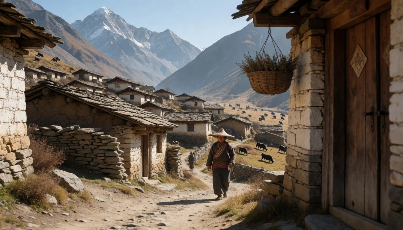
- Mo Chu River Valley — Punakha / Gasa boundary
Rushing dramatically out of the high mountain catchments, the Mo Chu, or mother river, forms a vital waterway through the park's forested lower canyons. Walking along its pine-scented banks reveals clear glacial water, wooden cantilever bridges, and quiet spots ideal for observing mountain birds and broadleaf forest foliage.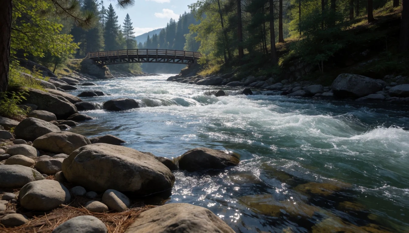
Culture
Life within Jigme Dorji National Park is deeply anchored in Vajrayana Buddhist traditions and mountain pastoralism. High-altitude communities like the Layap retain customs shaped by isolation, living in stone homes adorned with carved wooden frames and prayer flags. Religious festivals, known as tshechus, bring distant valley settlements together for masked dances and sacred music that honour Buddhist saints and local protective deities.
Daily existence revolves around transhumance herding, where families move yaks between winter valley shelters and summer high pastures. Mountain herbs and fungi are harvested carefully according to traditional seasonal calendars, supporting both local livelihoods and ancient Tibetan-influenced medical practices. Community life prioritises harmony with the natural environment, reflecting the Buddhist belief in the sanctity of all living beings and mountain spirits.
Visitors should respect local customs by removing shoes before entering dzongs or temples, dressing modestly with covered shoulders and legs, and walking clockwise around chortens and mani walls.
What to wear
Traditional attire in Jigme Dorji National Park reflects both deep Bhutanese cultural identity and the harsh alpine climate. Men wear the gho, a knee-length tailored robe secured at the waist with a woven belt called a kera, forming a deep pouch for everyday personal items. Women wear the kira, an ankle-length dress composed of intricately patterned textiles, accompanied by a light jacket known as a toego. In the northern settlement of Laya, Layap women wear a unique traditional costume made of heavy black yak-wool, paired with a distinctive conical bamboo hat topped with a silver spike.
Everyday attire among residents remains firmly grounded in these traditional garments, as national dress is worn for official business, school, and temple visits, though warm fleece jackets and durable rubber boots are often worn during mountain farmwork.
For visitors, high-altitude conditions demand warm layerable woollens, windproof outerwear, thermal base layers, and sturdy broken-in hiking boots. Modest clothing covering shoulders and knees is required when visiting dzongs or monasteries, and slip-on footwear makes entering sacred sites much easier.
What to eat
- Ema Datshi — Village homestays and local eateries
Bhutan's iconic national dish features sliced hot green chilli peppers simmered in a creamy sauce made from local cow or yak cheese. Served hot alongside mountain rice, it forms the heart of almost every highland meal in simple village homestays and trail eateries.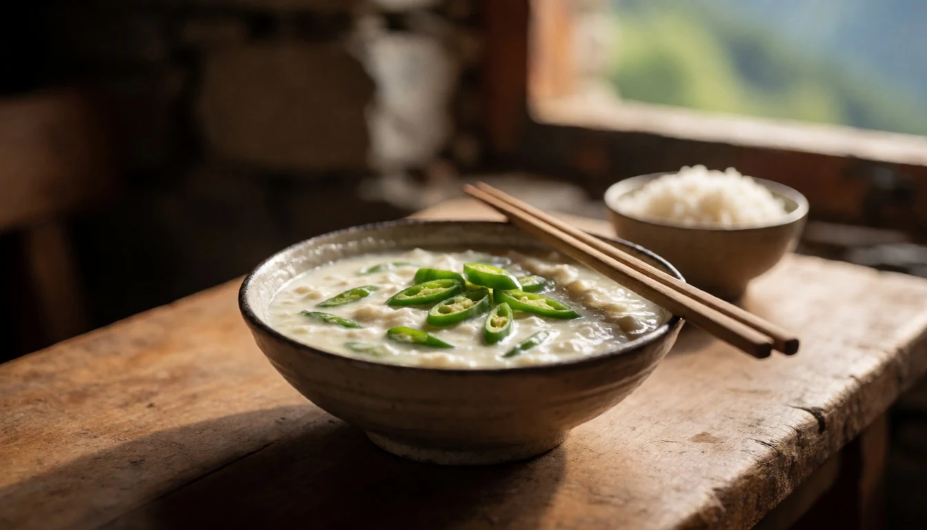
- Suja (Butter Tea) — Highland tea houses and trek camps
This traditional mountain drink is made by churning brick tea leaves with fresh yak or cow butter and salt. Rich, warming, and slightly salty, it provides essential calories and hydration against the biting alpine chill at trekking camps and high mountain tea stops.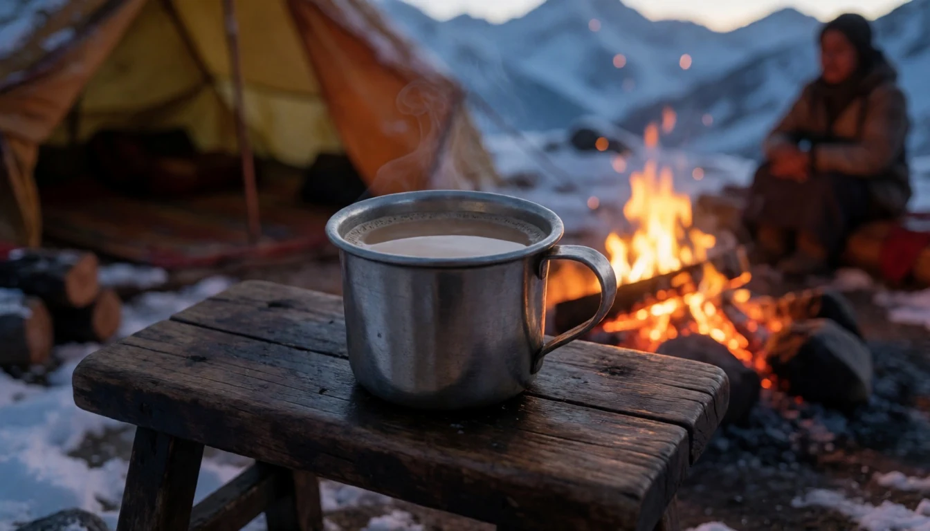
- Bhutanese Red Rice — Valley eateries and mountain lodges
Slightly nutty and medium-grained, red rice is a nutritious staple cultivated in the lower temperate valleys of the park. Paired with spicy stews and cheese dishes, it provides essential energy for long days spent walking steep mountain trails. - Buckwheat Pancakes (Kule) — Highland village kitchens
Commonly prepared in high-altitude settlements where wheat and rice struggle to grow, these hearty buckwheat pancakes are griddled fresh on hot iron plates. They are typically enjoyed warm alongside fiery chilli dips, soft cheese, or hot butter tea. - Yak Sha (Dried Yak Meat) — Highland homestays and mountain villages
Yak meat is salted and dried over wood fires or mountain breezes to preserve it for winter months. Typically stewed with dried red chillies, garlic, and local cheese, it produces a rich, savoury dish popular in remote mountain communities.
Plan it
Best time. March to April for spring rhododendron blossoms and pleasant temperatures; October to November for clear mountain views. June to August brings heavy monsoon rains, while winter brings severe cold.
How long. 4–7
Getting there. Fly into Paro International Airport (PBH), then travel by road to Thimphu or Punakha. The park entry points at Goen Damje or Gasa require high-clearance vehicle transport followed by trekking on foot.
Budget. high
Tips
- Book accredited Bhutanese tour operators well in advance, as independent travel is restricted
- Acclimatise properly before embarking on high-altitude treks above 3,000 metres
- Carry sufficient cash in local currency, as ATMs and card payment facilities are unavailable inside the park
- Pack personal water purification tablets or a filter bottle to reduce plastic waste
Etiquette
- Remove shoes and hats before entering monastery shrines and dzong interiors
- Walk clockwise around chortens, mani stone walls, and religious monuments
- Always ask permission before photographing local residents, especially in remote Layap communities
Nearby
Sources
- Wikidata Q1265588 (CC0)
- Wikipedia (rev 1362776341) (CC BY-SA 4.0)
- Wikivoyage (rev 5191836) (CC BY-SA 4.0)
- Photo photos/01-jigme-dorji-national-park-bhutan.jpg (CC BY 3.0)
- Photo photos/02-mo-chu-jigme-dorji-np-ajt-johnsingh-img-1361.jpg (CC BY 3.0)
- Photo photos/03-jigme-dorji-protected-area-location-map.png (CC BY 3.0)
- Photo photos/04-bhutan-takin-jigme-dorji-national-park.jpg (CC BY 3.0)
- Photo photos/05-2015-map-detail-bhutan-physiography-cropped.jpg (Public domain)
- Photo photos/06-bhutan-physiography.jpg (Public domain)
- Photo photos/07-densely-forested-mountains-of-jigme-dorji-np-ajtj-img-1394.jpg (CC BY-SA 4.0)
- Photo photos/08-rheum-nobile-between-robulthang-and-limithang.jpg (CC BY 4.0)


