Iztaccíhuatl-Popocatépetl National Park
Iztaccíhuatl-Popocatépetl National Park, Mexico
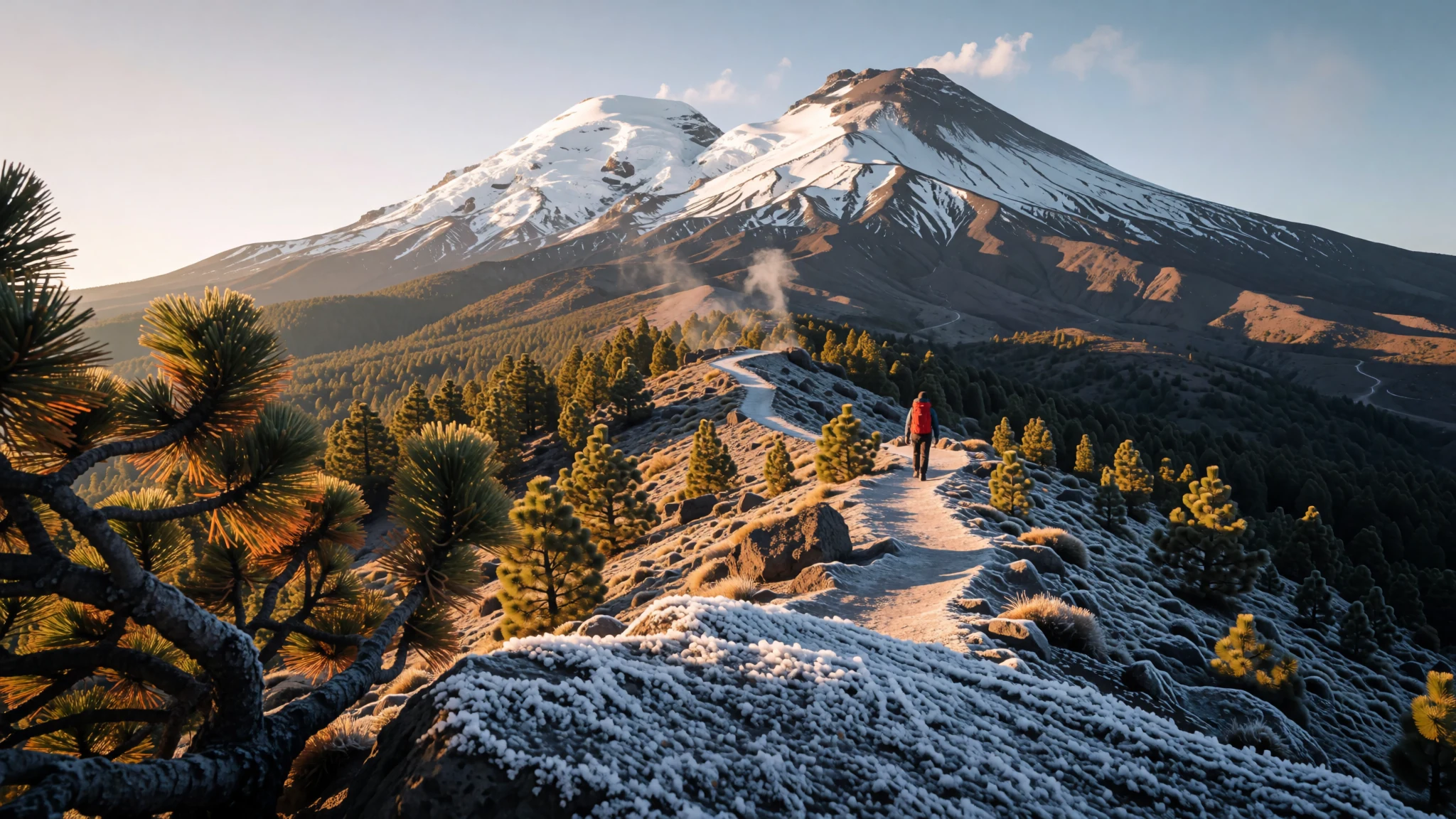
Two high volcanoes, pine forest and a road you can reach from Mexico City in a few hours, with cold nights and thin air.
The place
Iztaccíhuatl–Popocatépetl National Park sits on high ground east of Mexico City, where the states of México, Puebla and Morelos meet. Its landscape is built around a chain of volcanoes running roughly north to south. Popocatépetl, at the southern end, is the tallest peak in the park and remains active, sending out ash and steam from time to time. Iztaccíhuatl lies just to its north, and the two together are known as the Sierra Nevada, a name that makes sense once snow settles on their upper slopes in winter.
Further north the land changes. The Sierra de Río Frío is a group of older, lower volcanoes, and the road that crosses the valley between them is the one most visitors use to reach the park from the capital. Forest covers much of the lower and middle slopes, while the high ground is bare rock, volcanic sand and patches of snow. Streams start from rain, snowmelt and glacier water, then run down towards the Valley of Mexico on one side and towards the Atoyac river basin on the other.
Altitude is the first thing to plan for. Walking at these heights is harder than the scenery suggests, and the weather can turn within an hour. Bring layers, a waterproof and more water than you think you need, because the backcountry has little drinkable supply.
Its story
Iztaccíhuatl–Popocatépetl National Park dates from 1935, when a presidential order signed by Lázaro Cárdenas set aside the two volcanoes and their forested slopes. The original lower boundary followed a contour line on the mountain and left out the village of Río Frío de Juárez. Later decrees added forest land from the old Zoquiapan estate in the north, bringing the upper valley of the Río Frío into the protected area.
The boundaries did not stay fixed. In the late 1940s the government moved the lower edge of the park higher up the mountain, which shrank the protected zone. The land released from the park was then used for commercial logging, with trees cut to supply wood pulp for a paper mill. That forestry arrangement was formally ended decades later, and some of the land it touched is still recovering, so the park is best read as a place shaped by both conservation and industry.
The park is run today by a federal agency responsible for protected natural areas, within the environment ministry. Its work has become more visible as the volcano itself has drawn attention. Popocatépetl has been restless in recent decades, with periods of ash emission that have brought warnings, closures and evacuation planning on the lower slopes. Visitors should check current official alerts before setting off.
The park was also shut to the public for about a year during the pandemic, and it reopened gradually. Today the peaks are reached mainly by hikers, climbers and day visitors, and the old forestry scars, volcanic ash and the long history of local farming communities all sit alongside the protected landscape.
What to see
- Paso de Cortés — Northern side of Popocatépetl, on the route through the park
The pass between the two volcanoes is the park's main gateway and the place most people start from. The visitor centre here sells camping permits and bottled water, and it is the usual starting point for climbs on Popocatépetl's northern side. Camping areas nearby are rustic, with no toilets and no drinking water, so arrive with everything you need.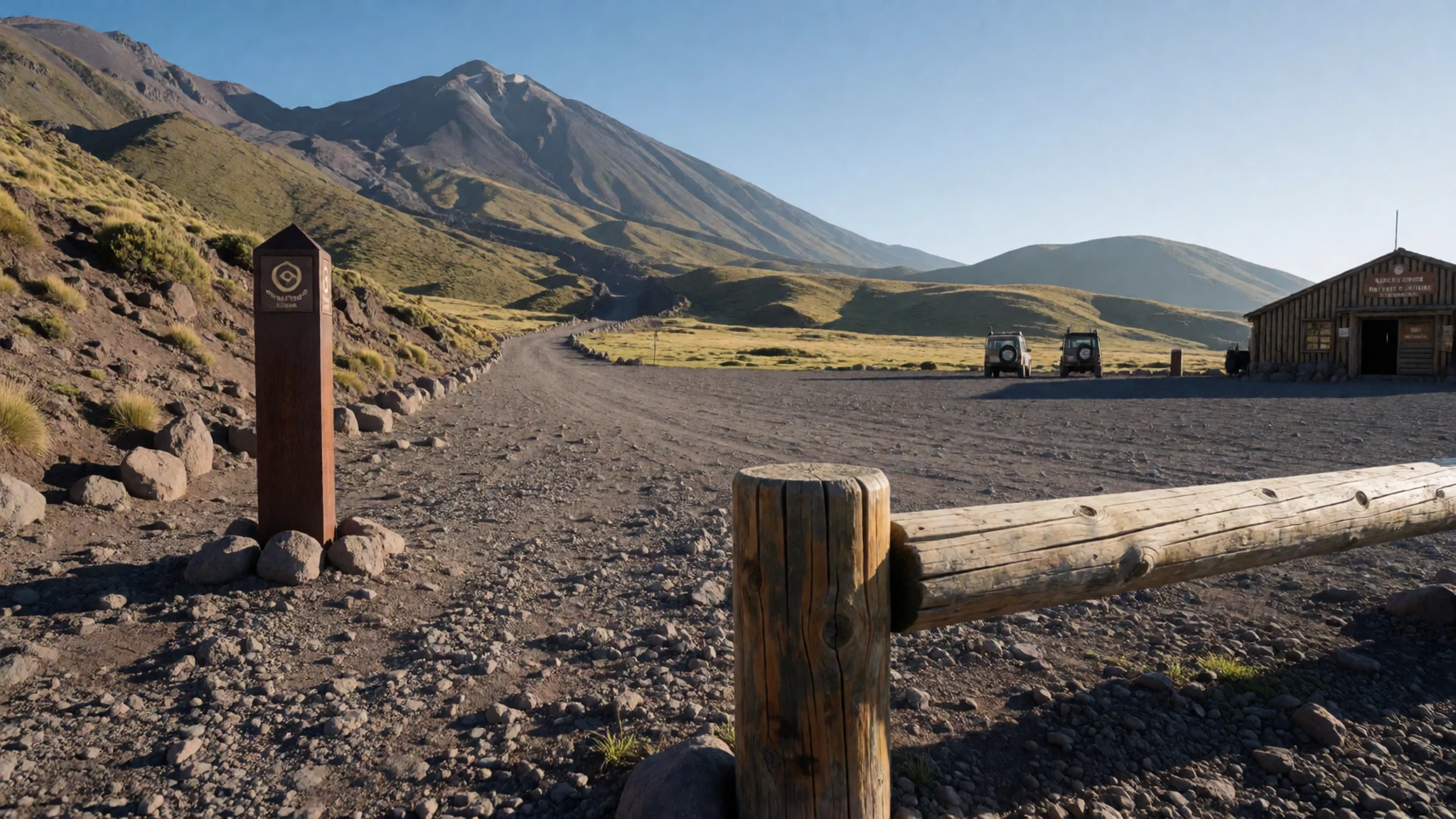
- Cerro Tláloc — Northern sector of the park, reached from Río Frío de Juárez
Cerro Tláloc, also called Tlalocatépetl by Nahuatl speakers, is a dormant volcano in the Sierra de Río Frío. Its summit holds archaeological ruins that predate the Aztecs, and it was an important ceremonial site for them. The usual trail starts in Río Frío de Juárez and takes a full day up and back. The last few hundred metres are rocky and need some climbing confidence.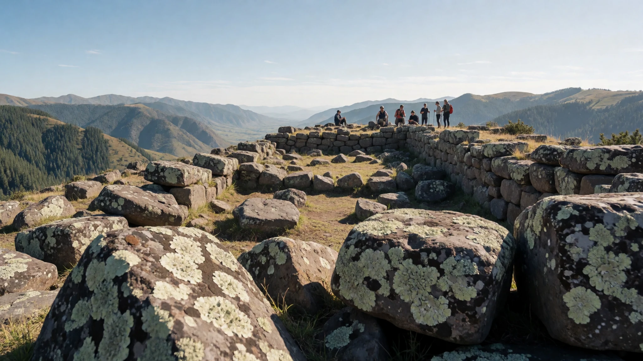
- Hacienda de Zoquiapan — Northern part of the park, close to the upper Río Frío valley
This historic hacienda is a protected preservation area that shows the history of colonial-era estates in the region. Its buildings and land tell the story of the Spanish agricultural system, and the surrounding communities keep Nahuatl-speaking traditions alive. It is a good stop for a slower, more reflective part of the day.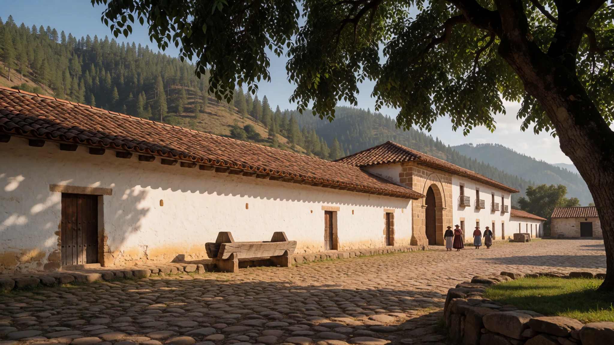
- Río Frío valley — The highway corridor between Mexico City and Puebla, through the park
The valley is where the highway from Mexico City to Puebla crosses the park, and it is the easiest part of the park to reach by road. Pine forest, roadside eateries and small villages line the route. Stop here to acclimatise before going higher, and treat the valley as a base for shorter walks rather than an endpoint.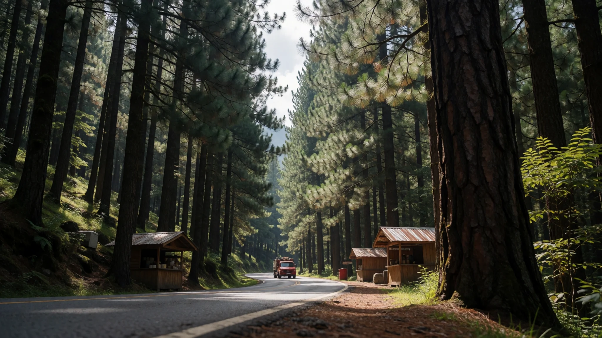
- Altzomoni viewpoint — High ground in the park on the Amecameca side
Altzomoni is a high spot in the park where the park's signpost stands with Iztaccíhuatl in view behind it. It is a favourite place for photographs of the volcano's long ridge. Go early in the day, before cloud builds, and dress for cold wind even if the valley below feels warm.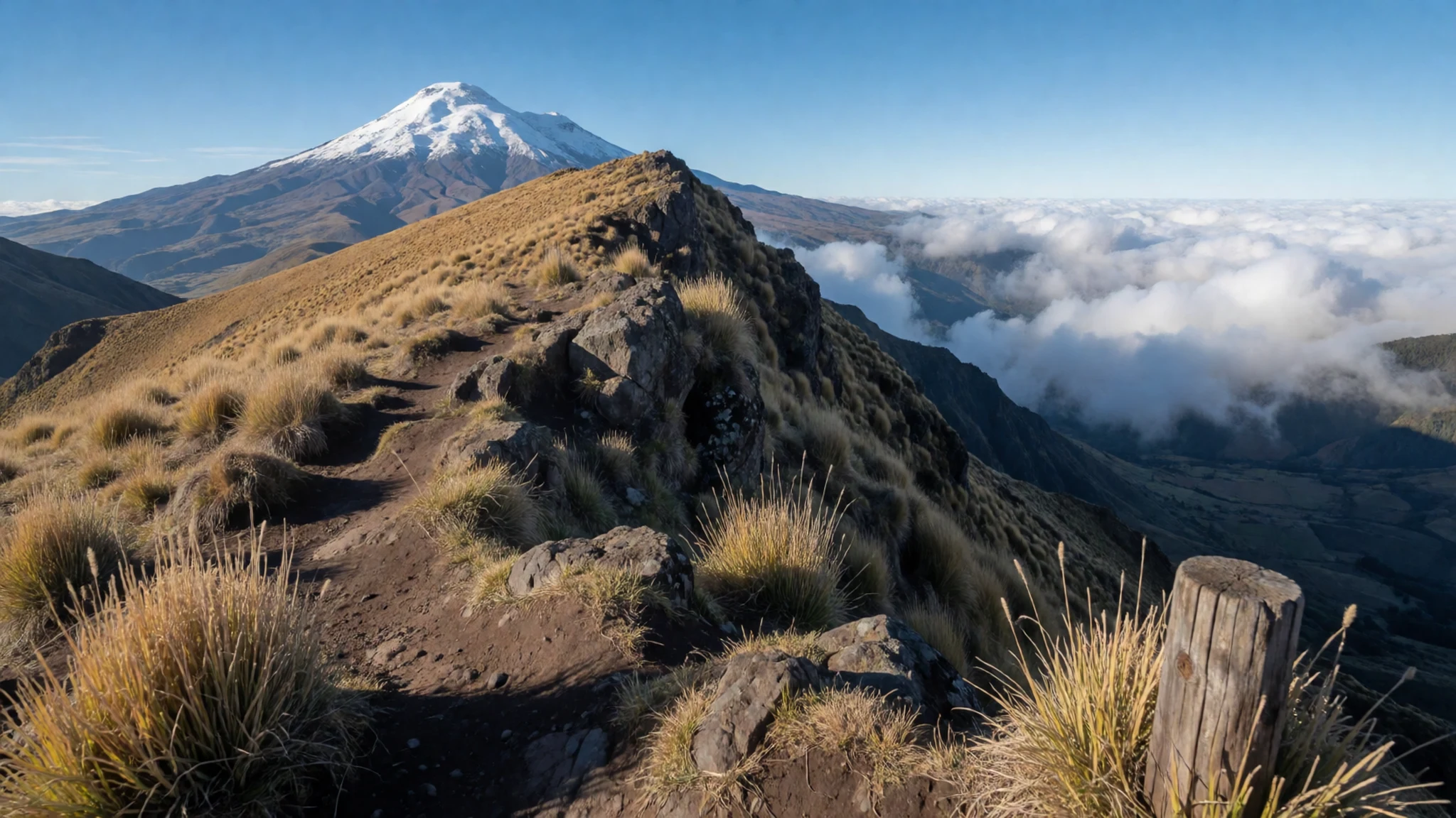
Culture
The park sits within the homeland of Nahuatl-speaking communities, and the landscape carries a long history of ritual and rain. Cerro Tláloc was dedicated to the rain god Tláloc, and the ruins on its summit remain a reminder of religious life that was old long before the Spanish arrived. Many local families still farm, graze animals and gather wood on the lower slopes, so the park is also a working place.
The hacienda and the valley villages show the layered history of the region, where indigenous, mestizo and colonial traditions overlap. Festivals and saints' days are observed in the towns below the park, often with processions, music and food, and visitors are welcome to watch from a respectful distance.
When you visit Cerro Tláloc, keep to marked paths, do not move or stand on stones at the ruins, and leave no offerings or rubbish behind.
What to wear
Traditional dress in the highlands around Iztaccíhuatl–Popocatépetl National Park leans on handwork and natural fibres. Women have long worn embroidered blouses and wrap skirts, and the rebozo, a long shawl of cotton or wool, is still used to carry children, keep off sun and wind, and mark everyday life. Textiles are often woven or embroidered with floral and geometric designs, and older pieces may use hand-spun thread.
Day to day, people in the towns near the park dress for the cold and the sun. Jeans, fleece jackets, sneakers and wool hats are common, and many people wear a mix of modern clothing and traditional pieces, especially for festivals, markets and church.
What a visitor should wear depends on the altitude. Dress in layers you can remove as you climb, with a warm fleece, a windproof jacket and a hat, since it can be cold and bright at the same time. Sturdy boots with grip are essential on the rocky final stretches of the trails. Modest, covered shoulders are a sensible choice when visiting churches and village ceremonies.
What to eat
- Barbacoa de borrego — Weekend food stalls and eateries in Amecameca and along the road into the park
Slow-cooked lamb, wrapped in maguey leaves and cooked in an earth oven, is the classic weekend dish in this part of central Mexico. It is usually served with fresh tortillas, onion, coriander and a spicy salsa. Order it early, as the good portions sell out.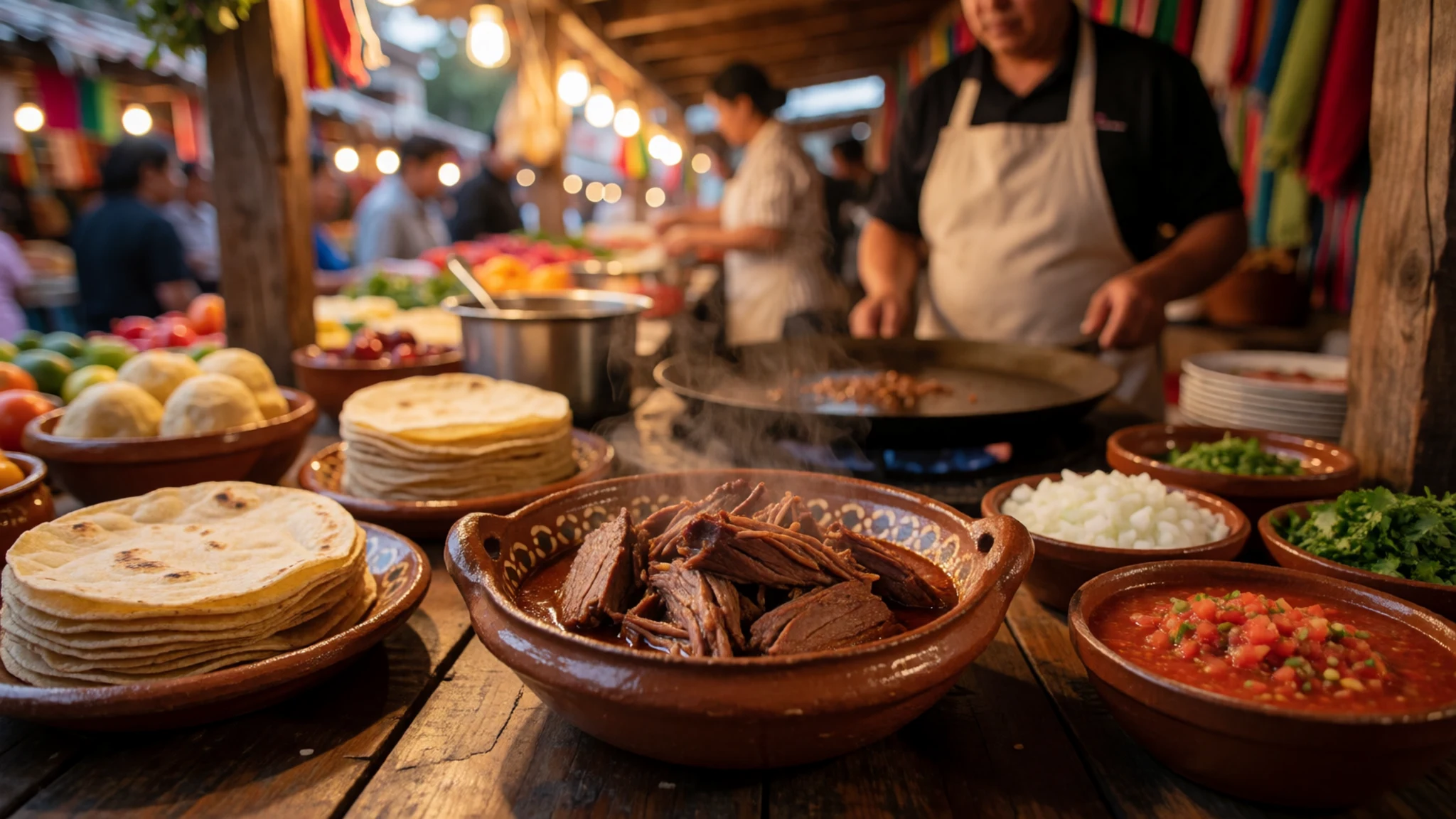
- Tlacoyos — The market in Amecameca, and small stalls near the bus stops
These oval masa cakes are filled with beans, fava beans or cheese and cooked on a griddle. Topped with nopal cactus, cheese and salsa, they make a filling snack before a walk. Look for the stalls with the largest griddle.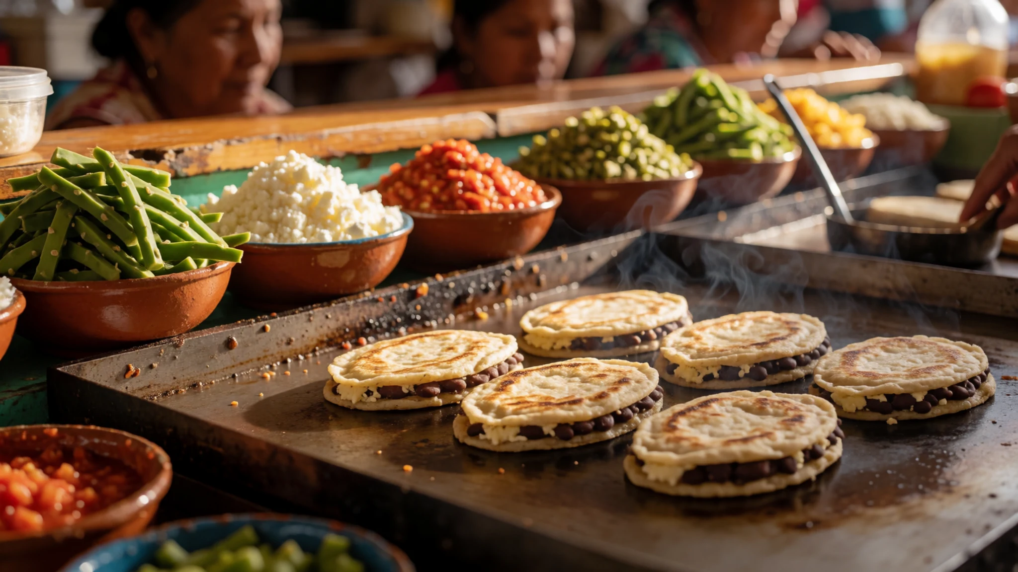
- Tamales with atole — Morning stalls and bakeries in Amecameca and the Río Frío valley
Corn-husk tamales, filled with pork, chicken or green salsa, come with a warm, thick maize drink called atole. It is a common breakfast in the highlands and a sensible way to start a cold early climb. - Trout from the valley — Roadside eateries along the Río Frío valley
Freshwater trout from the cold streams of the Río Frío area is grilled whole or fried with garlic and lime. It is a regular roadside dish on the way to the park, and it tastes best when served hot straight from the grill. - Mole poblano — Traditional restaurants and markets in Puebla city
This rich dish of chillies, chocolate, spices and nuts is served with turkey or chicken and is a speciality of Puebla. If you pass through the city on the way to or from the park, try it in a traditional restaurant or in the market, where the sauces are made fresh each morning.
Plan it
Best time. November to April is the drier season and generally the most reliable for walking, with clearer views of the peaks. Nights are cold all year at altitude, and snow can settle on the high slopes in winter. The rainy season, roughly from late spring to early autumn, brings cloud, rain and muddy trails, so plan around it.
How long. 2–3
Getting there. From Mexico City, take the Metro to San Lázaro, then catch a Volcanes bus to Amecameca. Buses run through the day. From Amecameca, take a taxi up into the park.
Budget. low
Tips
- Book a taxi from Amecameca in advance if you plan an early start, as transport is limited at dawn
- Start hikes early, before cloud gathers over the peaks in the afternoon
- Carry cash for taxis, small eateries and camping fees, as cards are rarely accepted
- Bring at least two litres of water per person, since drinkable water is scarce on the trails
- Stay in Amecameca if you want an early start without camping on the mountain
Etiquette
- Stay on marked paths to protect the volcanic slopes and the vegetation
- Ask before photographing people in villages, especially at church or during festivals
- Take all your rubbish back down with you and leave the ruins untouched
Nearby
Sources
- Wikidata Q3364418 (CC0)
- Wikipedia: Iztaccíhuatl–Popocatépetl National Park (CC BY-SA 4.0)
- Wikivoyage: Iztacchuatl-Popocateptl National Park (CC BY-SA 4.0)
- Photo: Volcano Popocatépetl, north side (Jakub Hejtmánek) (CC BY 3.0)
- Photo: Popocatépetl and Iztaccíhuatl (Haakon S. Krohn) (CC BY 3.0)
- Photo: Amanecer, Montaña Fantasma (Jacobo Amaro) (CC BY-SA 4.0)
- Photo: Apatlaco Waterfall, Puebla (Cvmontuy) (CC BY 4.0)
- Photo: Pequeña cascada, Salto del agua (Kevin Armenda) (CC BY-SA 4.0)
- Photo: Izta-Popo aerial (eurimaco) (CC BY 3.0)
- Photo: Iztaccihuatl with National Park sign (Nick Moyes) (CC BY 3.0)
- Photo: Iztaccíhuatl Popocatépetl CDMX aérea (Isacdaavid) (CC BY-SA 4.0)


