Ivvavik National Park
Ivvavik National Park, Canada
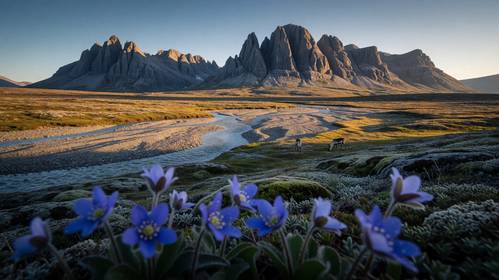
Ivvavik is a roadless Arctic wilderness of rafting canyons, caribou country and summer ice, reached only by charter aircraft and visited by very few people.
The place
Ivvavik National Park lies in the far north of the Yukon, close to the Arctic coast and about 200 km west of Inuvik across the border in the Northwest Territories. It is a roadless place: no visitor road, no marked trails and no village at the gate. The British Mountains run east to west through it, parallel to the shoreline, and carry on into Alaska as the Brooks Range. Water drains north from those ridges, mostly by way of the Firth River, which cuts through canyons before spreading into a broad delta at the Beaufort Sea. The park covers 10,168 km², about the size of Lebanon, yet only around 100 people visit in a year, so the crowds of a typical national park simply do not exist. What exists instead is tundra, bare rock, braided gravel bars and ice that lingers in creek beds well into summer. Caribou move through the country, grizzlies and wolves share it, and Arctic terns work the river corridors. Summer light barely fades, which helps with travel but makes sleeping an acquired skill. To the south the park borders Vuntut National Park, and across the Alaskan line lies the Arctic National Wildlife Refuge, so protected land continues well beyond Ivvavik's own edges. Getting here is the real commitment: a flight to Inuvik, an orientation at the Parks Canada office, then a chartered aircraft. It is costly, weather-dependent and unhurried, and that is rather the point.
Its story
Ivvavik National Park began as a negotiation rather than a conservation campaign. In 1984 the Inuvialuit Final Agreement settled a land claim between the Canadian government and the Inuvialuit of the northern Yukon, and the park was one of its results. That made it the first Canadian national park to come out of an Indigenous land claim. It was first called Northern Yukon National Park. In 1992 the name changed to Ivvavik, an Inuvialuktun word meaning nursery or birthplace, a nod to the Porcupine caribou herd that calves on this ground. Before protection the country had a rougher commercial life: gold miners worked along the Firth River and at Sheep Creek, and that stopped once the park was created. The Firth itself attracted a different sort of adventurer. Its canyons and rapids made it a rafting objective, and the first descent was made by Martyn Williams, Alan Dennis and Jim Boyde. It is still a river for guided groups or people with serious Arctic experience. To the south, Vuntut National Park was added in 1995 under the Vuntut Gwitchin First Nation Final Agreement, so two parks now sit side by side, with the Arctic National Wildlife Refuge just over the border in Alaska. The history here is of land set aside for a shared purpose: protecting a calving ground first, and welcoming visitors a distant second.
What to see
- Sheep Slot Rapids — Firth River, central park
Sheep Slot Rapids is a stretch of fast water on the Firth River that rafting guides study carefully before committing a boat. Water levels shift through the season, so the rapids change character from week to week. Even from the bank, the noise and speed explain why the Firth has such a reputation among river runners.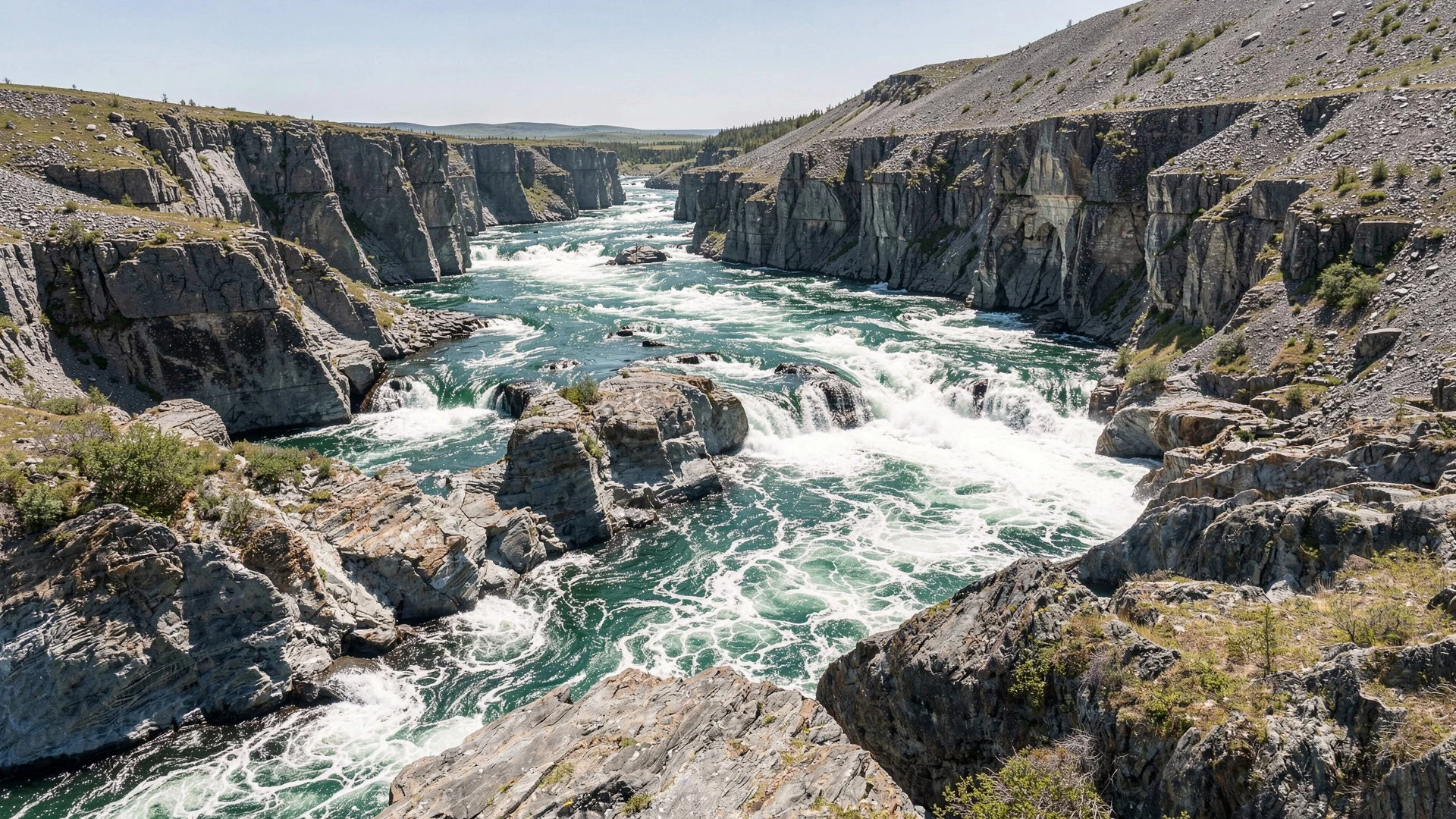
- Stegosaurus Ridge — British Mountains
Stegosaurus Ridge is an informal name for a mountain whose jagged, plated skyline looks like the back of the dinosaur. It is not an official landmark, and there is no path to it, but it shows how the British Mountains break into bare, angular rock above the tundra.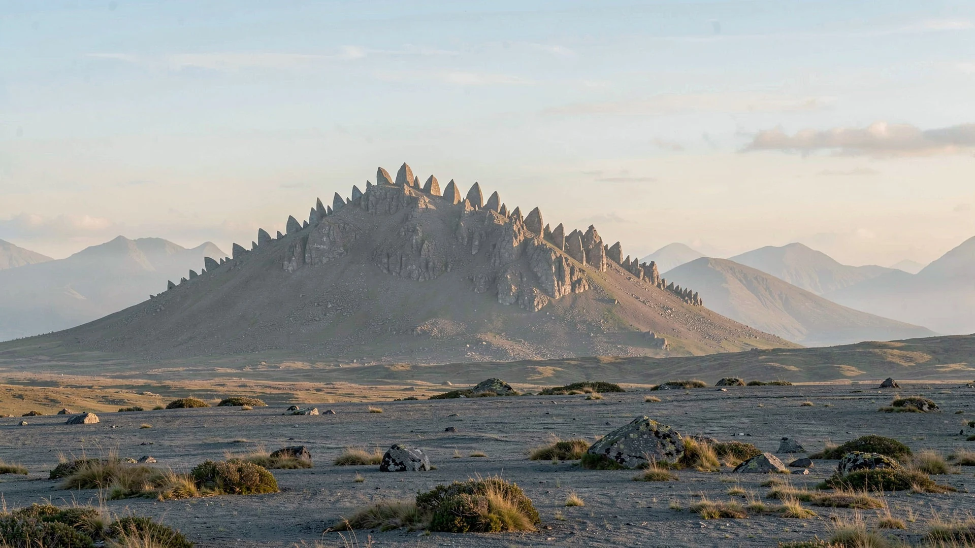
- Aufeis at Joe Creek and Wolf Creek — Joe Creek and Wolf Creek confluences with the Firth River
Aufeis is layered ice built up when creek water overflows and freezes, and in this park it can survive the summer. A conical remnant stands where Joe Creek meets the Firth, while Wolf Creek holds a broad sheet. Heavy rain leaves collapsing ice along the banks, so keep a safe distance.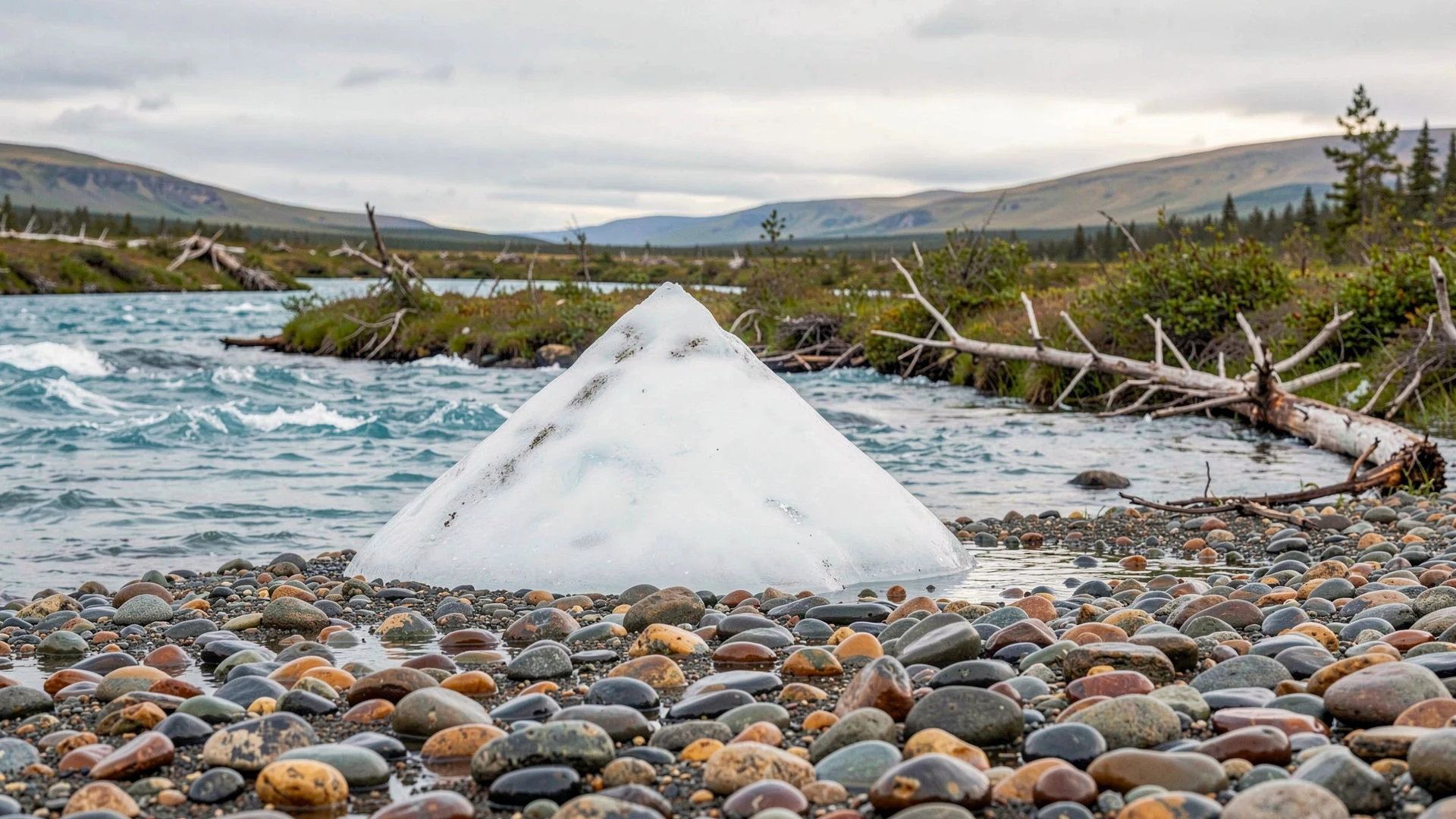
- Ivvavik Fly-in Base Camp — Interior of the park, reached by air from Inuvik
Parks Canada runs a guided base-camp trip that flies by Twin Otter over the Mackenzie Delta and into the heart of the British Mountains. It suits people who want day walks, wildlife watching and photography without organising an expedition. Check the official Parks Canada site for current dates and booking.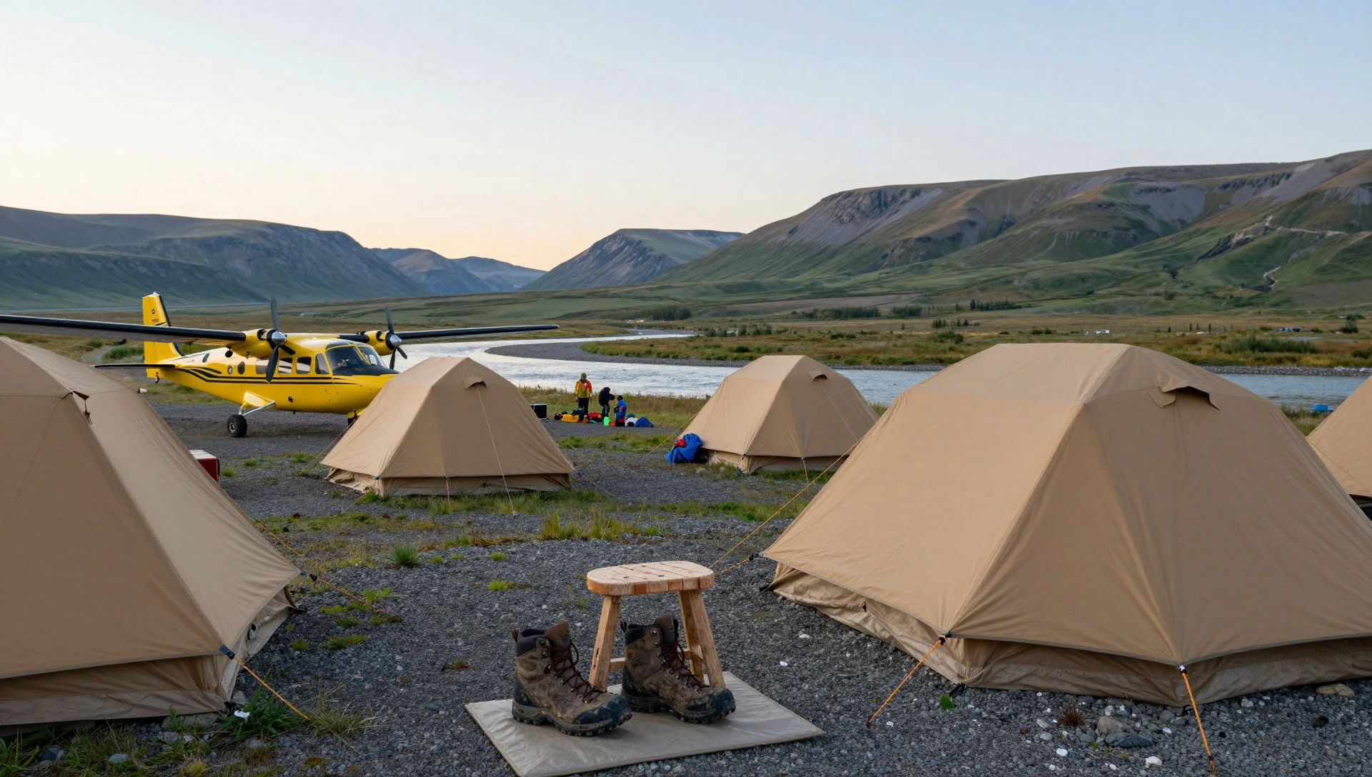
- Rafting the Firth to the Arctic Ocean — Margaret Lake to the Firth delta
Rafting trips start by flying into Margaret Lake, then follow the Firth through rapids and canyons to the delta at the Beaufort Sea. Guides plan stops for hikes and wildlife. The rafting season runs from late June to early August, and the river is not a casual float.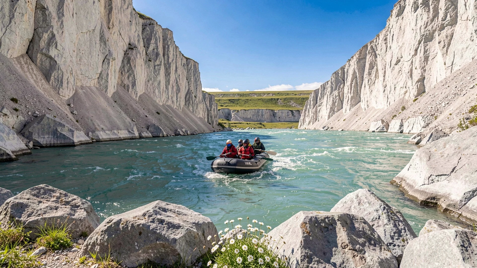
- Wildlife on foot — Tundra along the Firth River
With no marked trails, walking here means choosing your own line across tundra and gravel bars. Caribou, grizzlies, wolves and foxes all live in the park, and Arctic terns patrol the river. A bear pawprint in the soft ground is a useful reminder to travel alertly and with a guide.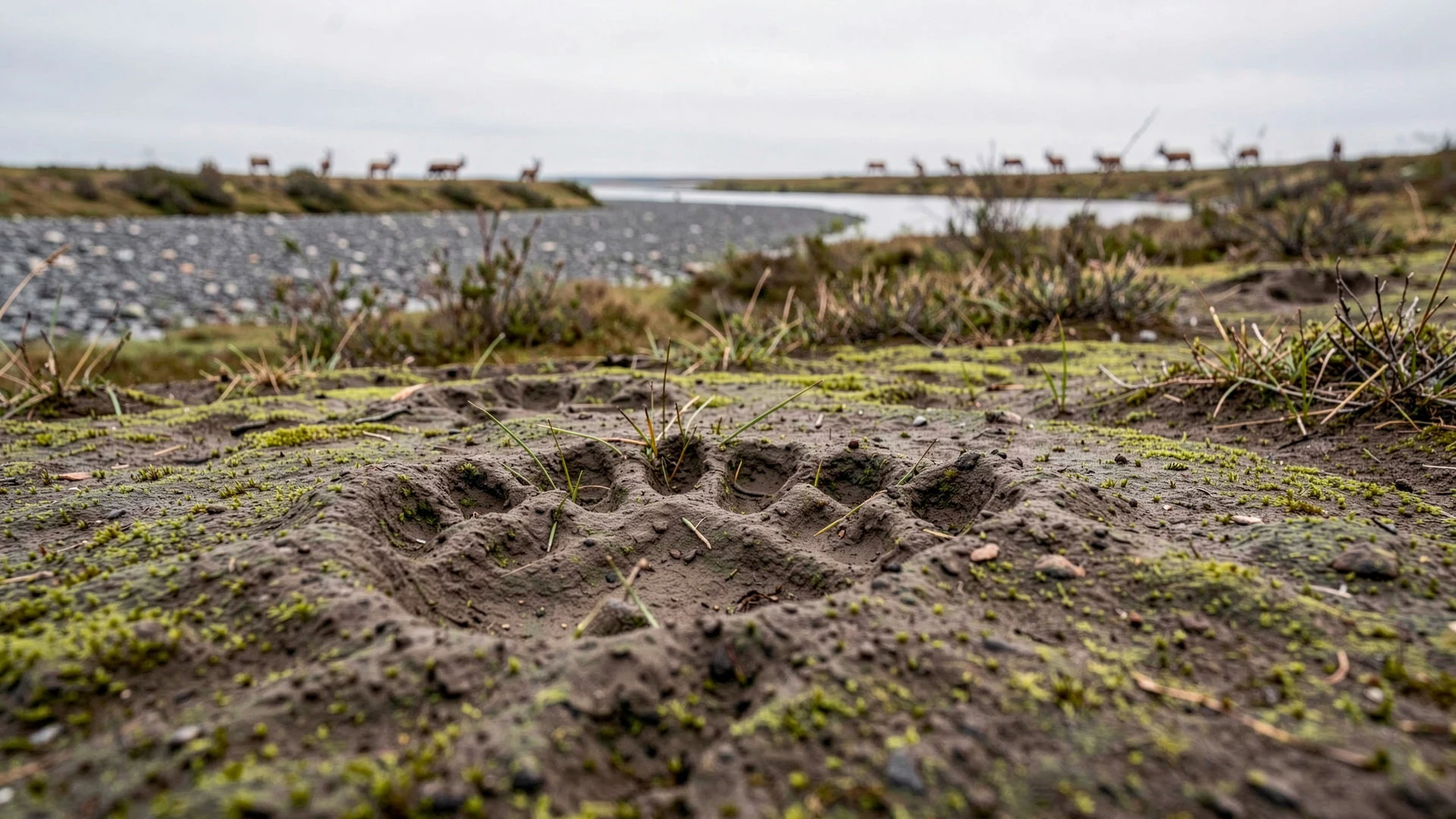
Culture
Ivvavik National Park exists because of the Inuvialuit Final Agreement, and the culture of the place is first of all that of the Inuvialuit, whose homeland includes the northern Yukon and the Arctic coast. The park's name is Inuvialuktun, meaning nursery or birthplace, and it points to the caribou that calve here. For northern peoples the herd has long been tied to food, travel and seasonal movement, so wildlife is not scenery but part of a living relationship with the land. To the south, the Vuntut Gwitchin First Nation has its own agreement and its own park, Vuntut. The nearest settlement, Old Crow, is a Gwitchin community with no road connection. Visitors usually meet northern culture in Inuvik, the regional centre of the Western Arctic, where the Western Arctic Visitor Centre is a sensible first stop. The Parks Canada office there gives a mandatory orientation, and it is worth listening closely, because the rules about camping and archaeological sites protect traces of past use of this land. Camping is permitted almost everywhere, but not on archaeological sites. Mining history is part of the story too, with old gold workings along the Firth and at Sheep Creek. Treat the park as a working homeland as well as a wilderness: ask before photographing people in Inuvik, and in the park leave every campsite, artefact and bone exactly where you found it.
What to wear
In Ivvavik National Park and the wider Inuvialuit and Gwich'in homelands, traditional clothing was made for survival in cold: parkas, trousers, mitts and boots sewn from caribou and sealskin, often with fur trim around the hood to break the wind. Sinew thread and careful stitching made seams that kept out water. Some of this craft is still practised, and handmade garments appear at community events and in northern craft shops in Inuvik. Everyday dress now is practical and modern: insulated jackets, fleeces, rubber boots and caps, with a warm parka for deep winter. Visitors should dress for a short Arctic summer that can swing from warm sun to cold rain within hours. Pack layers: a thermal base, a fleece or light down jacket, and a fully waterproof shell and trousers. Rafting trips often supply paddling gear, but ask the operator what is included. Footwear matters most. There are no trails, so sturdy waterproof boots with ankle support are better than trainers, and spare dry socks are essential. Bring a hat, gloves and sun protection, since light off water and rock is strong. A head net is wise against mosquitoes and biting flies. There are no dress codes to worry about, only the weather, so choose wool or synthetics over cotton.
What to eat
- Arctic char and Dolly Varden char — Guided camps and community events around Inuvik
Char is the fish most closely tied to the northern rivers and coast. It is eaten fresh, smoked, dried or fried. Look for it at community feasts in Inuvik or on guided trips, where a fishing permit is needed and local limits apply.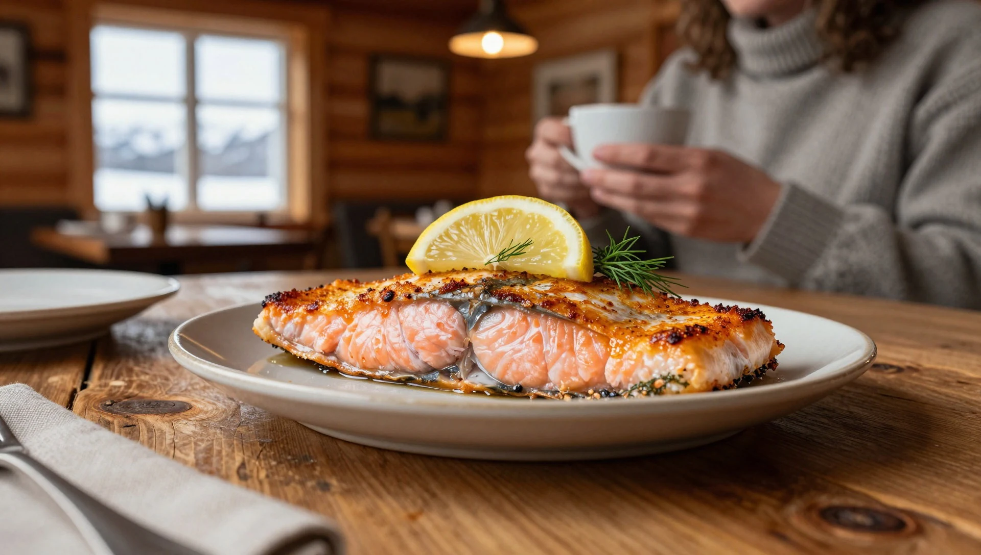
- Caribou stew — Community feasts and home-style eateries in Inuvik
Caribou meat is a traditional northern food, often slow-cooked into a plain, hearty stew with root vegetables. It is not a restaurant staple everywhere, so ask at local eateries or at a community gathering rather than expecting it on every menu.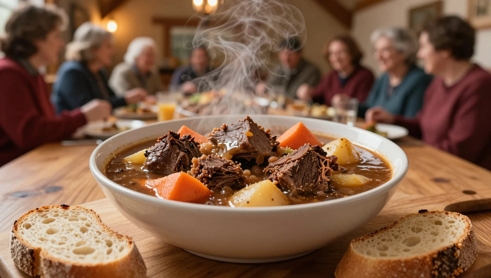
- Muktuk — Community feasts and celebrations in Inuvik
Muktuk is whale skin with a layer of blubber, eaten raw, frozen or boiled. It is a traditional Inuvialuit food with a mild, nutty taste and a chewy texture. Treat it as a food shared with respect, and accept a small piece if it is offered. - Dried fish — Local shops and seasonal stalls in Inuvik
Dried fish is a long-standing northern way of keeping the summer catch for winter. It is salty, chewy and ideal trail food. Ask local shops and craft or food stalls about where it comes from, and remember that availability varies through the year. - Bannock — Camp kitchens on guided trips and home-style eateries in Inuvik
Bannock is a simple bread, fried or baked, found across Indigenous communities of northern Canada. It is good for breakfast with jam or alongside stew. Many guides cook it over a camp stove, and it makes a warm treat after a cold day on the river.
Plan it
Best time. Late June to early August, when rafting on the Firth River is possible, the ice has retreated from the creeks and daylight lasts almost around the clock. July is the usual core of the season. Expect cool, changeable weather even in summer, and plan flights with weather delays in mind.
How long. 7–10
Getting there. Fly to Inuvik in the Northwest Territories, which has daily flights from southern Canada and is also reachable by the Dempster Highway. The park lies about 200 km away, and the last leg is by chartered aircraft from Inuvik. Check in at the Parks Canada office in Inuvik for the mandatory orientation and trip registration.
Budget. high
Tips
- Book guided trips and charter flights well ahead, since the season is short and places are few.
- Allow spare days in Inuvik for weather delays on the flight into the park.
- Buy supplies, cash and any fishing permit in Inuvik, where the bank, ATM and shops are.
- Carry water treatment and a bear-safe food storage plan; no marked trails, so route-finding skills matter.
- Check the official Parks Canada website for current rules, bookings and fees: https://www.pc.gc.ca/fr/pn-np/yt/ivvavik/index
Etiquette
- Register and deregister your trip with Parks Canada, and do not camp on archaeological sites.
- Keep a safe distance from caribou and bears, and never feed wildlife.
- Ask before photographing people in Inuvik and nearby communities.
Nearby
Sources
- Wikidata Q200590 (CC0)
- Wikipedia: Ivvavik National Park (rev 1362771917) (CC BY-SA 4.0)
- Wikivoyage: Ivvavik National Park (rev 5022721) (CC BY-SA 4.0)
- Photo: Sheep Slot Rapids, Firth River — Daniel Case (CC BY 3.0)
- Photo: Stegosaurus Ridge — Daniel Case (CC BY 3.0)
- Photo: Aufeis on Wolf Creek — Daniel Case (CC BY 3.0)
- Photo: Arctic forget-me-nots — Allysa Felix (CC BY-SA 4.0)
- Photo: Arctic tern over hillside — Daniel Case (CC BY 3.0)
- Photo: Aufeis cone at Joe Creek — Daniel Case (CC BY 3.0)
- Photo: Aufeis remnants near Joe Creek — Daniel Case (CC BY 3.0)
- Photo: Bear pawprint on tundra — Daniel Case (CC BY 3.0)


