Ilha de Moçambique
Ilha de Moçambique, Mozambique
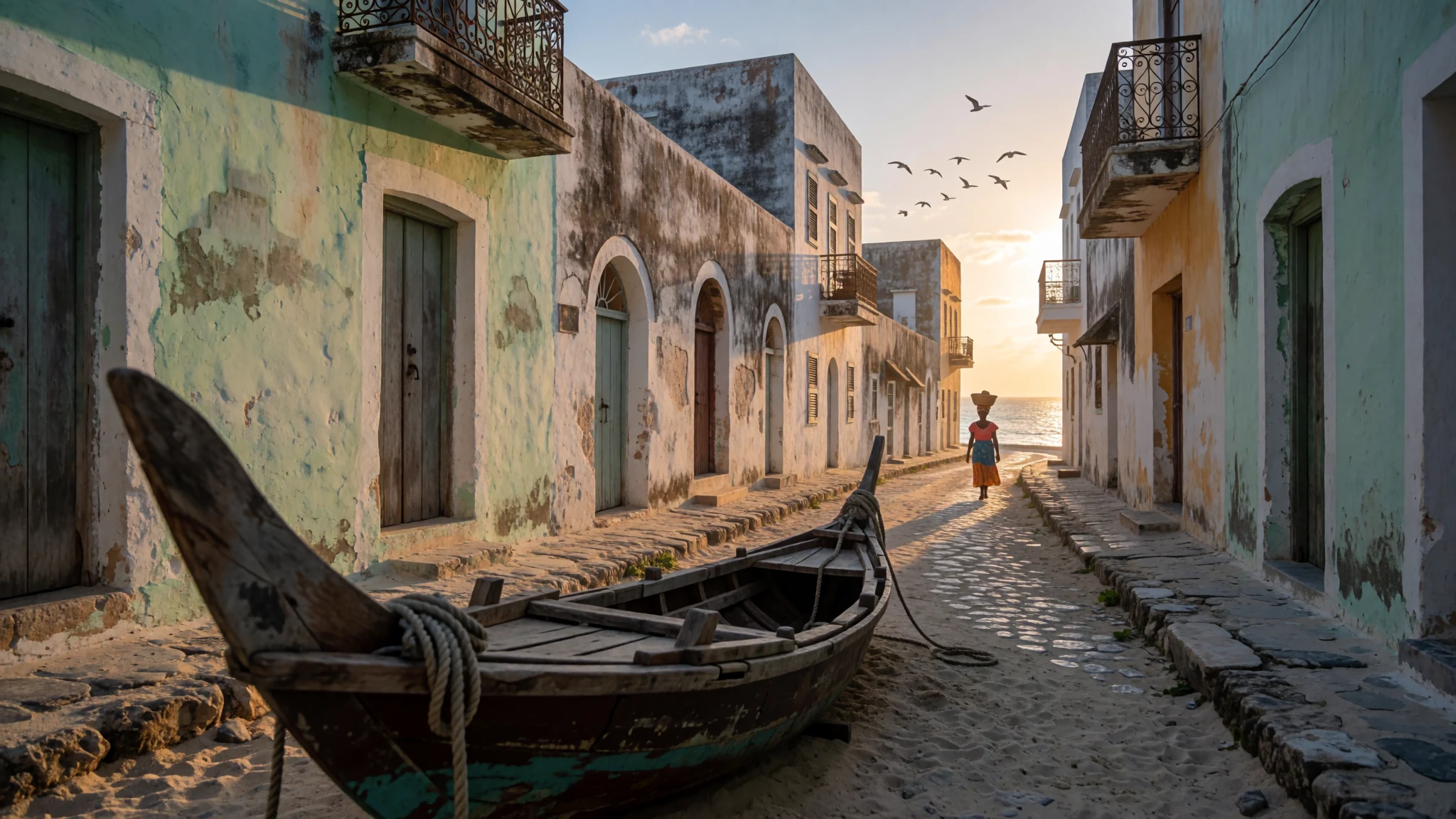
A compact island of colonial stone, Swahili streets and old forts, where the country of Mozambique got its name.
The place
Ilha de Moçambique sits off the northern coast of Mozambique, in Nampula Province, between the open Mozambique Channel and the calmer water of Mossuril Bay. It is small, home to about 14,000 people, and it feels more like a single town than an island of resorts. Walking is the only sensible way to see it. The northern end is Stone Town, a tangle of whitewashed colonial houses, churches and old forts. The southern half is Reed Town, set back from the main streets and built from palm and thatch in the older Swahili manner. Moving between them, you pass Portuguese civic buildings, then narrow lanes where fishing boats are dragged up on the sand and women sell fruit from baskets.
The sun on bare stone is punishing by midday, so the island runs on an early-morning rhythm: markets and sightseeing before the heat, a long rest, then a slow walk as the light softens over the bay. Do not count on the sea for a swim, since the water near the town is often murky, so save beach time for the mainland coast. Boat trips across the bay are the easier way to get onto the water. Many visitors come for a day or two, but the island rewards a longer stay, because its history is layered and its pace is set by tides and sunsets rather than timetables.
Its story
Ilha de Moçambique has been a settlement since at least the fourteenth century, when potters were making wares that still turn up in the ground here. Local tradition says its first Swahili residents came from Kilwa, further south along the coast. By the fifteenth century the island's rulers had ties with the powers at Angoche and Quelimane. In 1514 a Portuguese writer recorded a Muslim population speaking the same Swahili dialect as Angoche, a sign of how fully the island belonged to the Indian Ocean trading world before Europeans arrived.
The island gave its name to the country. Moçambique comes from Ali Musa Mbiki, a sultan of the island in the days of Vasco da Gama, and the name was later applied to the mainland territory, with Ilha de added to tell the island apart. The Portuguese set up a port and naval base in 1507. In 1522 they built a small chapel, Nossa Senhora do Baluarte, which still stands at the northern tip and is widely regarded as the oldest European building in the Southern Hemisphere.
During the sixteenth century, Fort São Sebastião anchored Portuguese power, and the settlement became the capital of Portuguese East Africa. It was also a missionary centre and a stop for ships bound for India, and it handled traffic in enslaved people, spices and gold. Its defenders held off Dutch attacks in the early seventeenth century. Trade later drifted away once the opening of the Suez Canal reshaped shipping routes. The capital moved to Lourenço Marques, now Maputo, in 1898, and Nacala's harbour on the mainland took most of the trade that remained.
What to see
- Fort São Sebastião — Northern tip, Stone Town
Built in the sixteenth century on the island's northern tip, this fort anchored the Portuguese presence and still dominates the approach by sea. Climb to the walls for wide views across the channel and back towards the causeway that links the island with the mainland. Go early or late in the day, because the stone holds heat and the light over the water is best then. Allow an hour or so for a slow walk around the ramparts.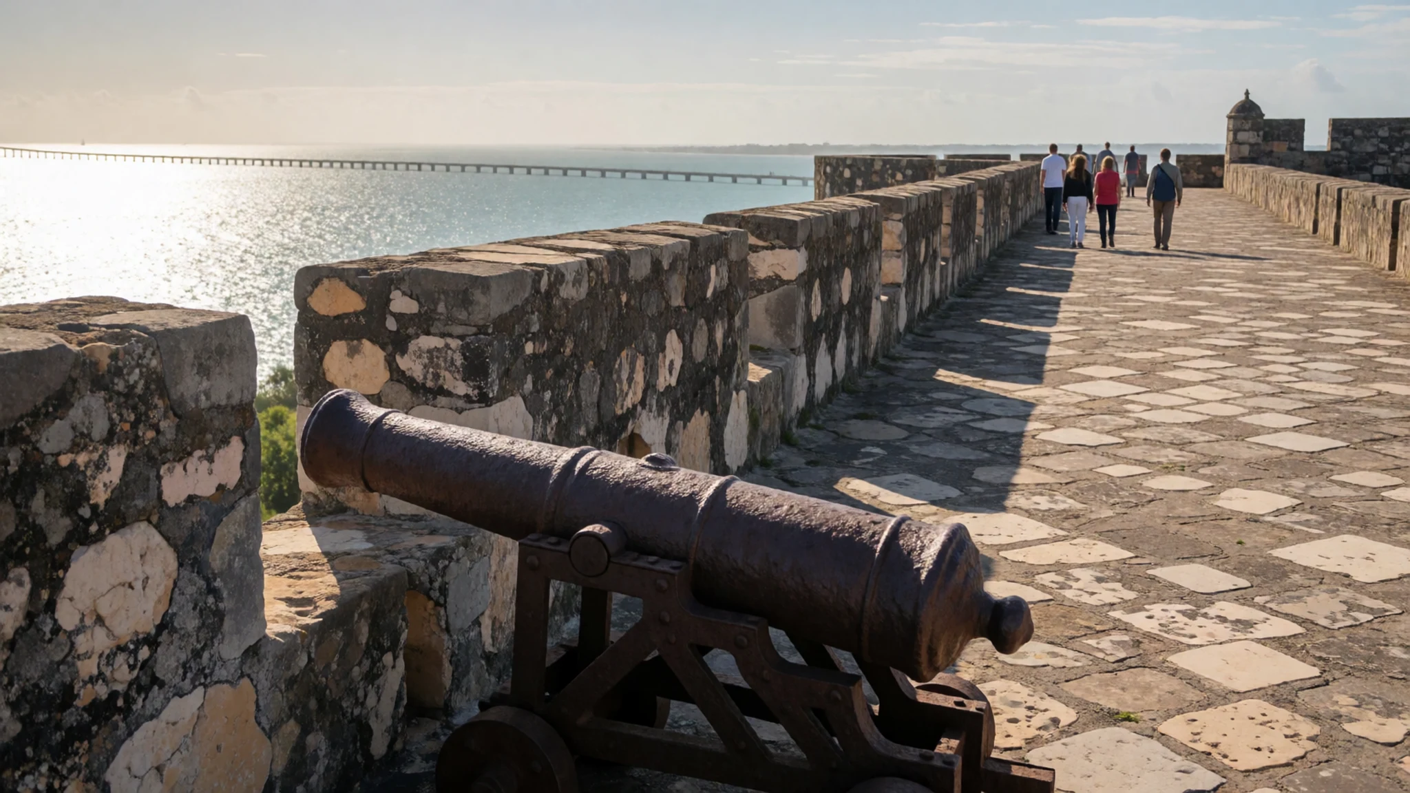
- Chapel of Nossa Senhora de Baluarte — Northern tip, beside the fort
Dating from 1522, this small chapel is one of the oldest European structures in the Southern Hemisphere, and it is the island's most important early survival. Its plain walls and simple interior recall the missionaries and sailors who used the harbour. Take a moment inside and keep your voice low. Look at how the walls have weathered the salt air over the centuries.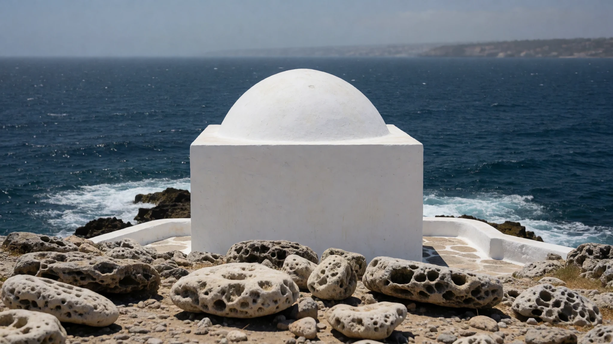
- Capela de Santo António — Santo António fort, northern shore
Set within the Santo António fort on the northern side of the island, this chapel dates from the sixteenth century and gives the fort its character. Its whitewashed walls stand out against the blue water, which makes it a favourite subject for photographs from the shore. Visit in the early morning, when the light is soft and the lanes are quiet. Ask before photographing anyone who is praying or working inside.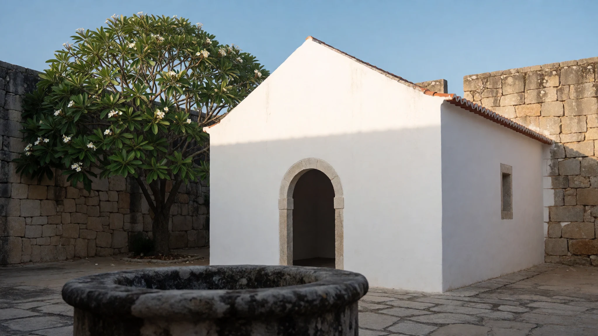
- Rua da Contra Costa — Northern coast, Stone Town
This street follows the northern coast of the island, with sea on one side and old colonial façades on the other. A statue of the poet Luís de Camões stands along the route, a reminder of the Portuguese presence that shaped the town. It is an easy walk at a relaxed pace, and the breeze off the channel makes it pleasant in the late afternoon. Stop often for the views across to the mainland.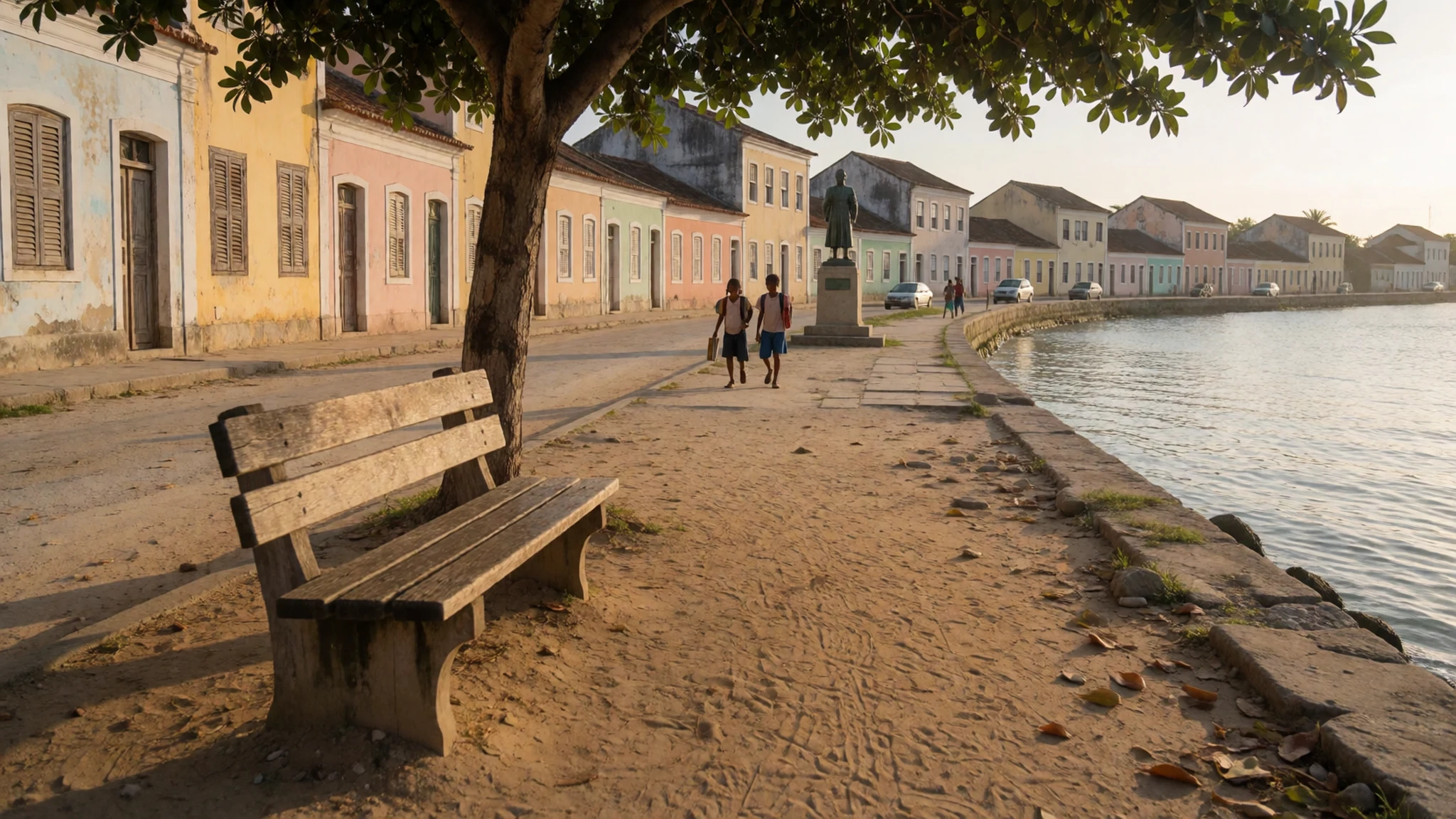
- The museum in the Palace and Chapel of São Paulo — Stone Town, the old governors' palace
The museum occupies the Palace and Chapel of São Paulo in Stone Town, a building that began in 1640 as a Jesuit college and later served as the governors' residence. Inside you will find displays on the island's history, trade and religious life. The same building holds a tourist information office that sells good street maps, which is useful before you set out on foot. Check locally for opening times, as they can change without notice.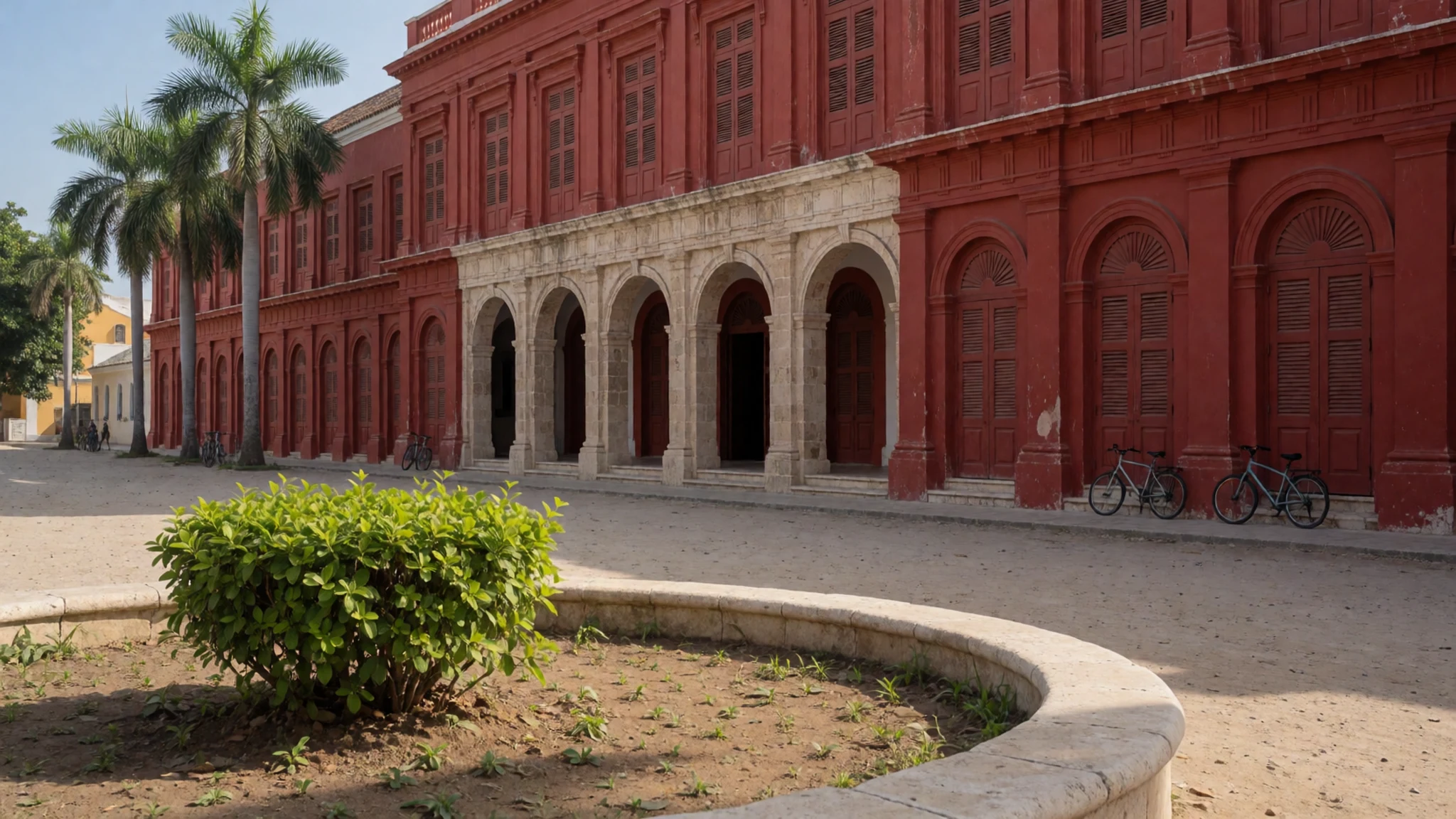
Culture
Ilha de Moçambique carries a layered heritage: a Swahili and Islamic past that reaches back centuries, a Catholic tradition from the Portuguese period, and a daily life built around fishing families and market traders. Stone Town and Reed Town have different rhythms, with the north more visited and the south more residential. Mosques and Islamic traditions are part of the island's older heritage, so visit them only where you are welcome and keep voices low near places of worship. Greetings matter. A friendly 'bom dia' in Portuguese goes further than a quick question launched without one. Photographing people, especially women and children, should happen only after asking, and a smile and a gesture usually work better than a camera raised from a distance. The island depends on fishing, small trade and visitors, so tipping in restaurants and paying guides fairly is welcome, though it is not expected to be lavish. Many of the old buildings are fragile and still in use, so do not climb on walls or into ruins. Keep music low after dusk, because the lanes carry sound and neighbours are close.
What to wear
Ilha de Moçambique has a dress history shaped by Swahili, Arab and Portuguese contact, although everyday wear today is mostly Mozambican. Traditional women's dress centres on the chitenge, a printed cotton wrap in bright patterns, and the capulana, a similar cloth worn around the waist or tied as a head wrap. Many women wear a chitenge over a long skirt or dress for market days and family events. Cotton is the usual material, chosen for breathability in the heat. Men often wear loose cotton shirts and trousers, and in the older Swahili parts of town you may see long white garments. Among younger people, jeans, T-shirts and football shirts are common, with the chitenge kept for more formal or festive occasions. For a visitor, the sensible choice is light, loose cotton clothing with sleeves and a hem that covers the knee. Churches and chapels ask for covered shoulders, so carry a light scarf for entering them. Sandals or closed shoes with decent grip help on the uneven stone and sandy lanes, and a hat is worth having for the midday sun. Avoid very short or tight clothes in town, and pack a spare shirt, because humidity builds quickly.
What to eat
- Matapa with coconut rice — Stone Town restaurants with a sea-facing terrace
Matapa is a stew of cassava leaves cooked slowly with coconut, usually with prawns or fish, and it is the dish to order if you want to taste the island. Served with coconut rice, it is rich and slightly sweet. Look for it in the restaurants of Stone Town, especially those with a terrace, where a sunset meal is an easy plan.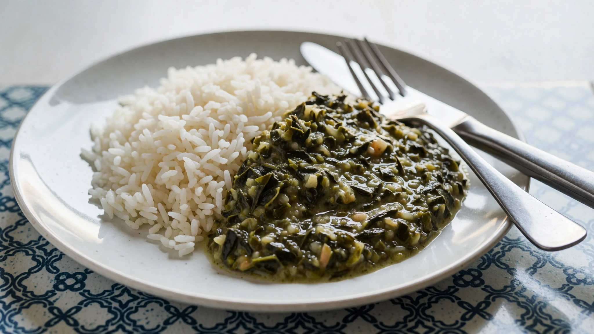
- Xima with fish — Simple local eateries near the morning market
Xima is a thick maize porridge, shaped by hand and eaten with grilled or stewed fish. It is filling and plain, the everyday food of many families on the coast. Simple local eateries serve it at lunchtime, and the fish is often whatever came in that morning.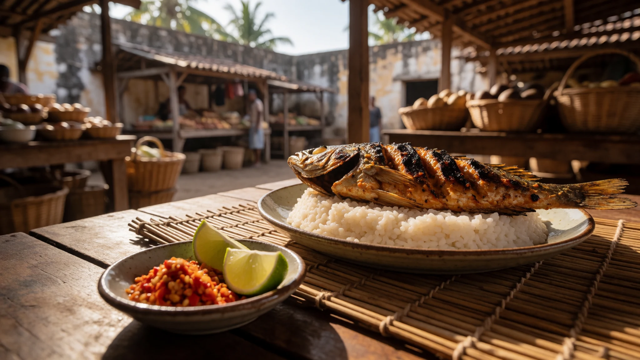
- Fish and rice — Lanes of Reed Town and small eateries near the fish landing
Fish and rice, often grilled over charcoal and seasoned with chilli, is the island's everyday staple. Small places serve it quickly and cheaply, and the plates are usually built around the day's catch. It is a good way to eat like a local without planning ahead.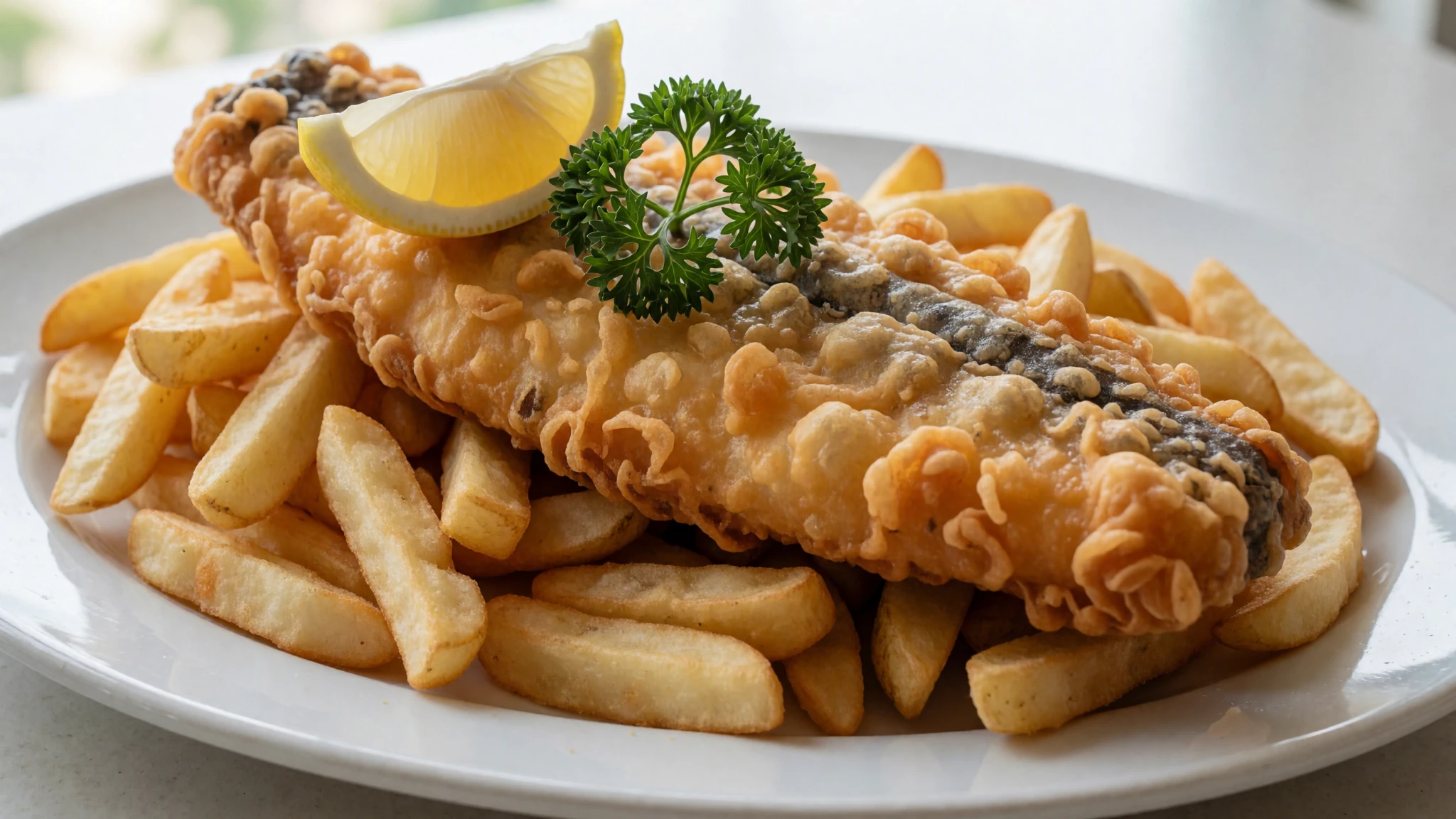
- Fresh prawns and shellfish — Seafront bars and restaurants on the northern shore
Prawns and shellfish are grilled simply with garlic or chilli and served with bread or rice. Sit down near the water and you will get a fresh plate with little fuss. Order in the early evening, since the kitchens fill up once the light fades. - A sundowner by the water — Seafront club terrace at dusk
A cold beer or soft drink on the waterfront is the simplest way to end a day here. Locals gather to watch the boats come in and the light change over the bay. It is a relaxed, unfussy ritual that suits the island's pace.
Plan it
Best time. The cooler, drier months from roughly June to August suit walking and boat trips best, when highs ease to about 31 °C. October and November are the hottest months, with highs near 35 °C, and the wettest run from December to March, so check the forecast before planning crossings.
How long. 2–3
Getting there. Fly into Nampula's airport at Lumbo, on the mainland. The last leg is by road: a taxi or chapa minibus from Nampula takes around 2 hours on a good road, and the crossing to the island is by causeway.
Budget. low
Tips
- Start walks early, before the heat builds in the stone streets.
- Bring cash in meticais, since small eateries and local transport may not take cards.
- Carry drinking water and sun protection, because shade is scarce in the open squares.
- Pick up a street map at the museum's tourist office before you set out on foot.
- Book a boat trip early in your stay for a different view of the fort and the bridge.
Etiquette
- Cover your shoulders and knees when visiting churches and chapels.
- Ask before photographing people, especially at markets and in Reed Town.
- Swim only at beaches you know are clean, and not off the town shore.
Nearby
Sources
- Wikidata Q331099 (CC0)
- Wikipedia: Island of Mozambique (rev 1376673292) (CC BY-SA 4.0)
- Wikivoyage: Ilha de Mozambique (rev 5384085) (CC BY-SA 4.0)
- Photo: Beach cleaning (Rosino) (CC BY-SA 2.0)
- Photo: Ilha de Mocambique from Fort San Sebastiao (Stig Nygaard) (CC BY 2.5)
- Photo: 1598 Mosambique Kaerius (Pieter van den Keere) (Public domain)
- Photo: PRIOR(1819) Chart of the Harbour of Mozambique (Public domain)
- Photo: Mozambique Island Bridge (Michael Jack) (CC BY 2.5)
- Photo: Church of San Antonio on the Island of Mozambique (Spielkind) (Public domain)
- Photo: AFDCM-07-017 (H. Graumann and I. Piedade Pó) (Public domain)
- Photo: As cidades e villas, Brasão da Ilha de Moçambique (Barbosa, Ignacio de Vilhena) (Public domain)


