Hunza Valley
Hunza Valley, Pakistan
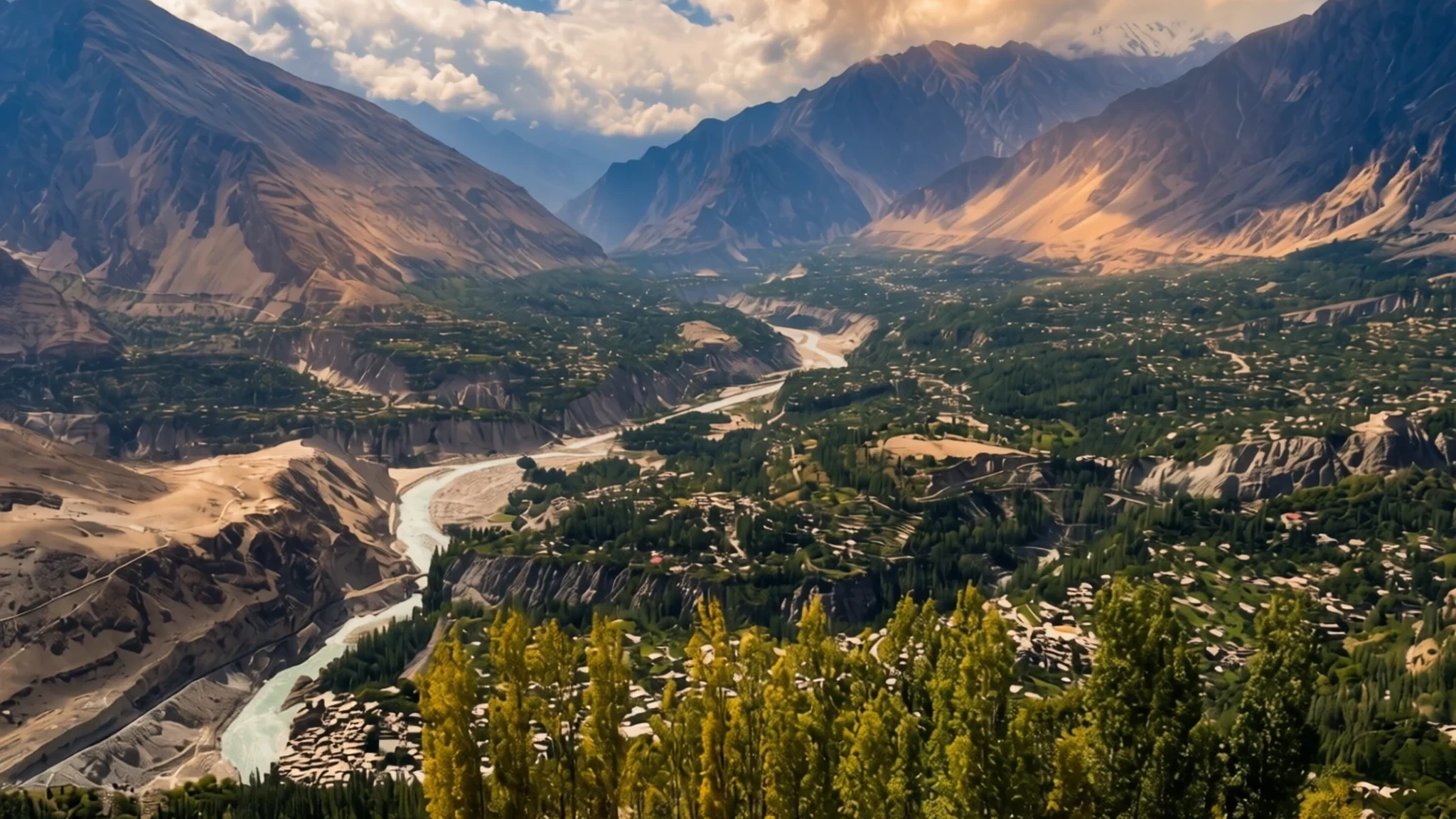
Hunza is a high valley of old forts, glacier-fed rivers and some of the Karakoram's tallest peaks, reached by one long road.
The place
Hunza Valley lies in the Gilgit-Baltistan region of northern Pakistan. The Hunza River, which is fed by meltwater from glaciers high in the Karakoram, runs through the valley floor at about 2,438 metres, so the air is thin and nights stay near or below freezing even in summer. Geographers usually divide the valley into three parts. Upper Hunza, also called Gojal, stretches toward the border passes. Central Hunza, around Karimabad and Aliabad, is where most visitors stay. Lower Hunza, known as Shinaki, sits nearer the point where the valley opens out towards Gilgit. Side valleys feed in from Hopar, Hispar and Nalter, and the surrounding land is steep slopes, rough peaks, glaciers and fault lines. The Main Karakoram Thrust runs through the area, which is why hot springs appear in several places. Villages cling to terraces above the river, with fields and orchards linked by stone water channels. Peaks above 6,000 metres ring the valley, and Rakaposhi, at 7,788 metres, is the one that dominates most views.
Its story
Hunza Valley's history reaches back well before the modern road. Buddhism, with Bön practised alongside it, was the main faith here before Islam arrived, and several Buddhist sites survive from that period. Most people later became Muslims, mostly of the Ismaili branch. The Sacred Rock of Hunza is the best-known relic. Its carvings include horsemen and ibex, and its Brahmi inscriptions were left by Buddhist monks as acts of worship. For a long time those inscriptions were neglected, and they are now being restored. The valley also sat on the trade routes between Central Asia and the Indian subcontinent. Merchants, pilgrims and monks passed through, and the valley offered them shelter, which helped carry Buddhism across Asia. The historian Ahmad Hassan Dani has argued that Saka groups used the Karakoram route on their way toward Taxila. Kharoshthi lines on the rock name Saka and Pahlava rulers, and Kushan-period inscriptions show which powers held sway over Hunza and Gilgit. The valley began to break away from Gilgit as its own polity around 997 CE. A decisive split came in the 15th century, when the Ayash family took power. The valley was then shared between Hunza, which held the upper watershed, and Nagar. Fighting between the two was almost constant. Many people still say the valley inspired the Shangri-La of James Hilton's 1933 novel Lost Horizon, though that link remains a popular belief.
What to see
- Baltit Fort — Karimabad, Central Hunza
Baltit Fort stands on a spur above Karimabad, the village at the heart of Central Hunza. It was built by the Mirs, the former rulers of Hunza, and it is the valley's best-known landmark. Its massive timber supports lift the building on stilts, and its wooden bay windows look out across the valley. Allow an hour or more to walk through the rooms and up to the terraces, and go in the morning when the light falls on the peaks.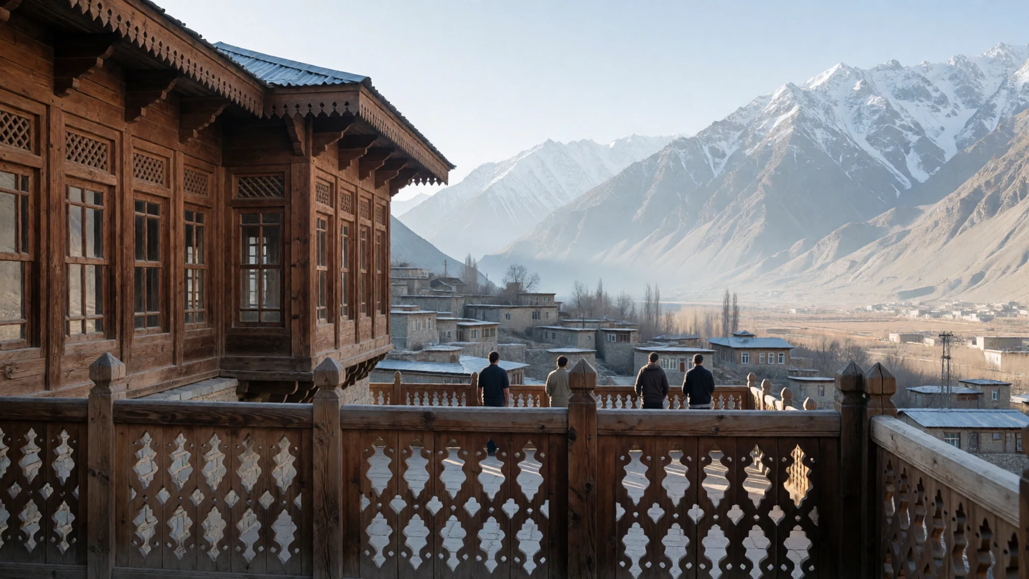
- Altit Fort — Altit village, Central Hunza
Altit Fort sits at the lower end of the settled valley, close to the old village of Altit. It is older in character than Baltit, with thick walls and a more weathered feel. The fort and its surrounding lanes make a good half-day walk, and the view back up the valley is one of the best in Hunza. Go early to avoid the midday heat and tour groups.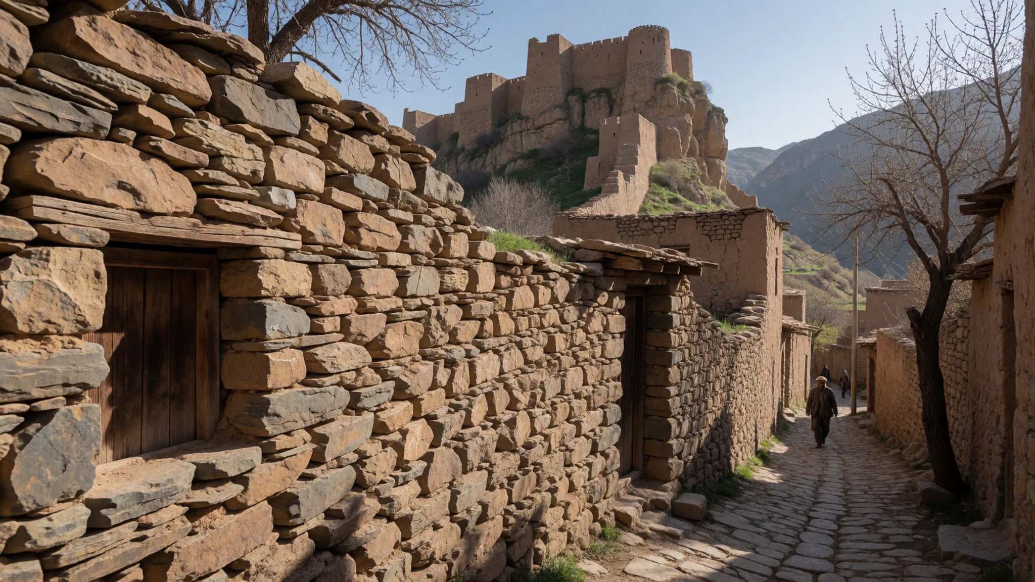
- Ganish watch towers — Ganish village, Central Hunza
The ancient watch towers in Ganish village are among the oldest structures in the valley. They sit in the middle of the village, where families still farm the surrounding land. Walk slowly through the lanes, keep to the paths between the fields, and ask before you go into any courtyard. The village works well as a stop on the way to or from other sights.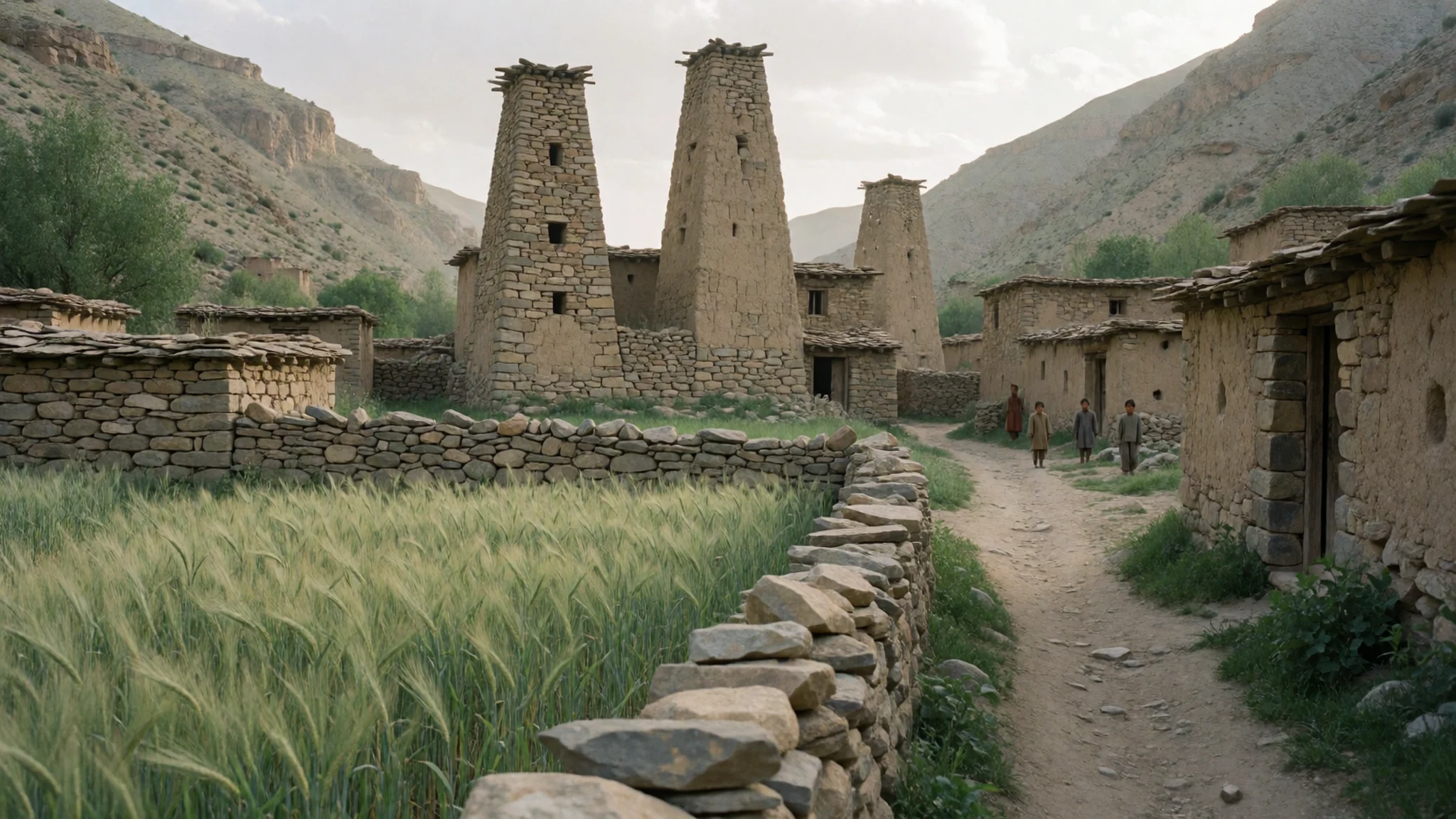
- Sacred Rock of Hunza — Lower Hunza, near the Karakoram Highway
The Sacred Rock of Hunza is a boulder covered with petroglyphs, including mounted horsemen and ibex, and with Kharoshthi and Brahmi inscriptions. The inscriptions record the names of rulers and the passage of travellers, and they show the valley's Buddhist past. The rock is a short walk from the road, but the carvings are faint, so take your time and look closely in good light. Do not touch or chalk the surface.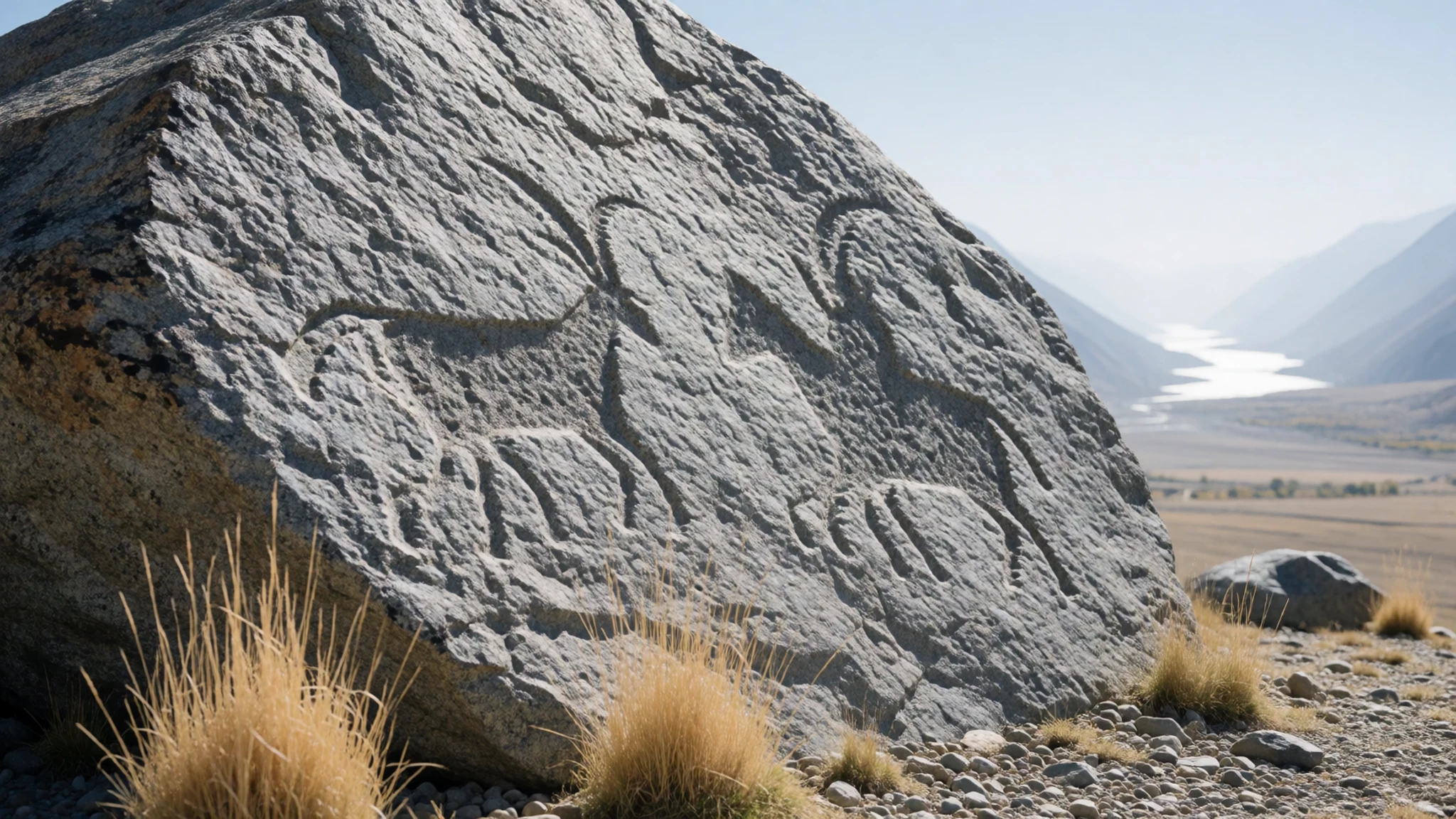
- Borith Lake — Upper Hunza (Gojal)
Borith Lake lies in Upper Hunza, the Gojal section that runs toward the high passes. It is a quiet, open stretch of water with mountains rising behind it, and it is a good place for a slow afternoon. Reaching it takes a jeep or a long walk, so arrange a driver through a booking agent in town. Pack warm layers, because the wind off the water can turn cold quickly.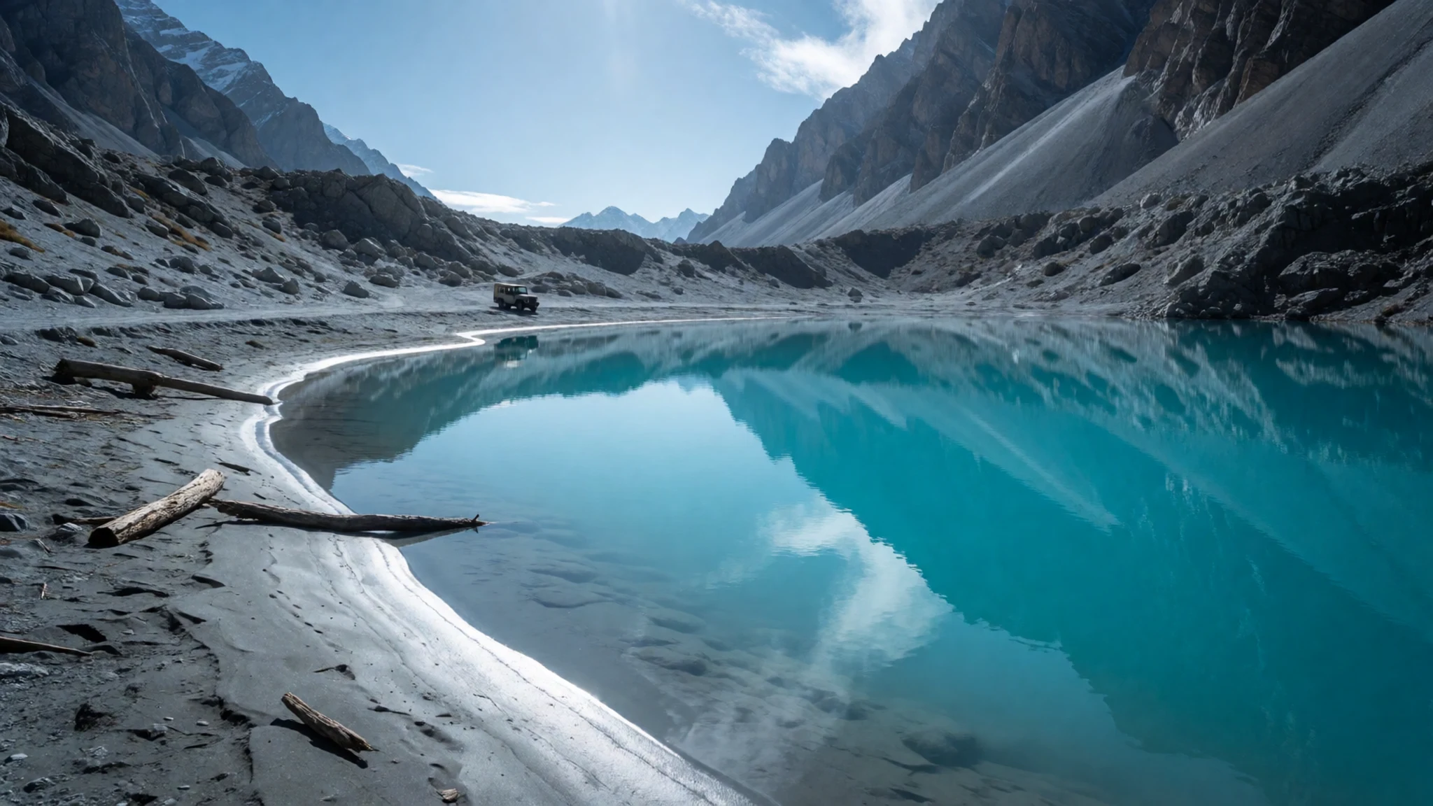
Culture
Hunza Valley is mostly Muslim, with the Ismaili branch of Islam the largest, and daily life runs on its rhythms. Villages are small and close-knit, so visitors are noticed. Women are often seen working in fields and shops, but many dress modestly and may avoid being photographed. Ask before taking a portrait of anyone, especially women and children, and never photograph people at prayer. Honour the Buddhist heritage too: the petroglyphs and inscriptions at the Sacred Rock are fragile, so do not touch them, climb on them or add marks. Guesthouses and small restaurants are usually family-run, so greet people warmly, accept tea if it is offered, and pay what you agreed. Shoes come off when you enter a home. Please keep this in mind when you step into a family courtyard or a fort: take your shoes off at any threshold where others have done the same, and ask before you photograph anyone.
What to wear
Traditional dress in Hunza is practical rather than decorative. Men and women have long traditionally worn loose, layered tunics and trousers, with woollen shawls and warm caps suited to the cold mountain air. Handwoven wool and cotton cloth have been the common materials, and the cloth is chosen for warmth and durability. Locals still dress this way at home, at weddings and at festivals, while younger people in towns like Karimabad often wear jeans, jackets and trainers, and buy clothes in the bazaars. What a visitor should wear comes down to three things. The climate changes sharply between the valley floor and the high passes, so bring layers, a warm jacket and a hat. For mosques, shrines and villages, cover shoulders and knees, and bring a scarf for women to use over the head. Good footwear matters more than fashion: the paths to the forts, the terraces and the lakeshores are uneven, often dusty and sometimes steep, so choose boots or sturdy trainers with grip.
What to eat
- Giyalin — family guesthouses and breakfast tables in Karimabad
Giyalin is a traditional thin crepe, soft and simple, eaten as a light breakfast or snack. It is best tried at a family guesthouse in the morning, when the crepes are made fresh. Ask the owner if you can watch them being cooked.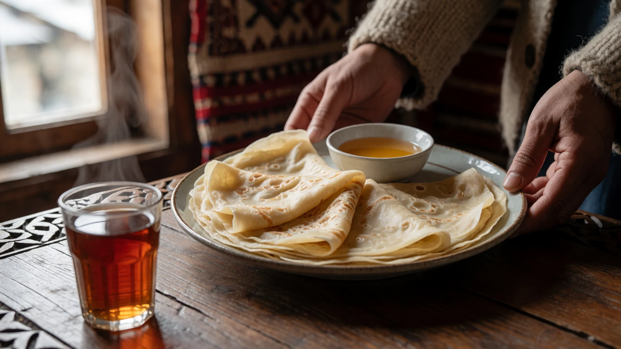
- Burus Berikutz — the morning bakeries in the bazaars of Karimabad and Aliabad
Burus Berikutz is a cheese bread, the sort of thing bakers make early in the morning. Look for it at small bakeries in the bazaars of Karimabad or Aliabad, where loaves come out warm and sell out early. It makes a good snack for a long walk.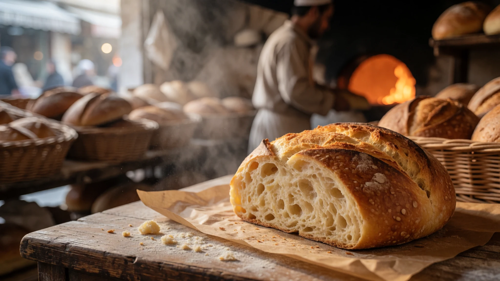
- Baterin xy Dawdo — family-run restaurants in Karimabad and eateries on the Karakoram Highway at Aliabad
Baterin xy Dawdo is a warming soup built around dried apricots, a fruit that grows in the valley's orchards. It is a comforting meal on a cool evening. Try it at a family-run restaurant in Karimabad or in the eateries lining the Karakoram Highway at Aliabad, where it is served as a light meal. - Diram Fiti — bakeries and tea stalls on the main bazaar at Aliabad
Diram Fiti is a sweet bread, usually eaten with tea. You will find it at bakeries and tea stalls on the main bazaar. It is a good thing to buy for a midday break on a long drive, and it is best eaten fresh while the crust is still soft.
Plan it
Best time. May to December, when the Khunjerab Pass is open for crossings into China. Late spring and early autumn are the easiest months for walking and driving. Winter brings a closed pass and flights from Gilgit that are often delayed for several days, so only come then if you have spare time.
How long. 2–3
Getting there. Most people reach Hunza by road on the Karakoram Highway. Gilgit is roughly 100 km away, a drive of about 2 to 3 hours, though travelling there from Islamabad can stretch to a full 24 hours. Gilgit Airport has small 42-seat planes to Islamabad, a flight of about 45 minutes, but they depend on the weather. The last leg from Gilgit is a shared jeep or bus to Aliabad, where the main bus stand is on the highway.
Budget. mid
Tips
- Book long-distance buses and jeeps through the agents in town, and reserve seats a day or two ahead in the busy season
- Carry enough cash for guesthouses, jeeps and small shops, because cards are rarely accepted in the valley
- Build spare days into your plan if you fly, since weather can hold up flights to and from Gilgit
- Go early to the forts and the Sacred Rock, when the light is good and the crowds are thin
- Drink plenty of water and take it slowly on your first day, as the valley floor sits at about 2,438 metres
Etiquette
- Ask before photographing people, especially women and children
- Dress modestly in villages and wear a scarf for mosques and shrines
- Do not touch or mark the petroglyphs and inscriptions
Nearby
Sources
- Wikidata Q1196145 (CC0)
- Wikipedia: Hunza Valley (CC BY-SA 4.0)
- Wikivoyage: Hunza Valley (CC BY-SA 4.0)
- Photo: Hunza valley from Eagle's Nest (Alllexxxis) (CC BY-SA 4.0)
- Photo: Hunza Valley HDR (FaizanAhmad) (CC BY 3.0)
- Photo: Altit Fort, Hunza (Usmanmiski) (CC BY 3.0)
- Photo: Baltit Fort, Karimabad (Fassifarooq) (CC BY-SA 4.0)
- Photo: Nilt forts (public domain) (Public domain)
- Photo: Attabad Lake 2020 (Amalooloo) (CC BY-SA 4.0)
- Photo: Baltit fort from Ultar Sar trek (Samar irfan) (CC BY-SA 4.0)
- Photo: Bar ter Nagar valley at dawn (Aqibnagri) (CC BY-SA 4.0)


