Horton Plains National Park
Horton Plains National Park, Sri Lanka
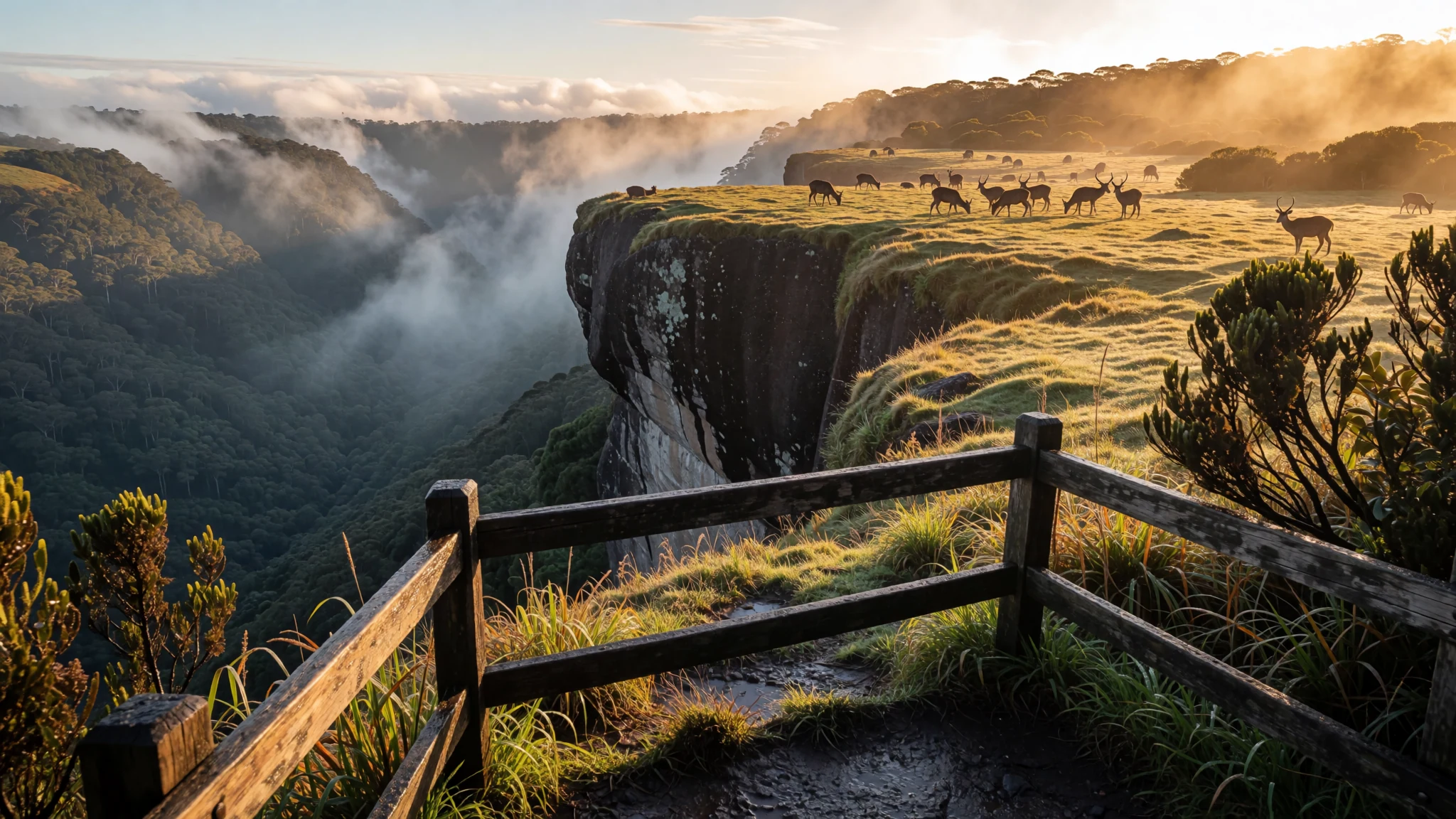
A cloud-forest plateau in Sri Lanka's central highlands, known for its wildlife, its mist and a cliff-edge view at World's End.
The place
Horton Plains National Park sits on a high plateau in the central highlands of Sri Lanka, at an elevation of 2,100–2,300 m. The park covers about 31 square kilometres and borders the Thotupalakanda Nature Reserve, so walkers can move between protected hill country without leaving the highlands. Two kinds of landscape dominate: open montane grassland and cloud forest in the folds of the land, where mist gathers through much of the day. Many of the plants and animals here are endemic to Sri Lanka, and some are found nowhere else but this plateau.
The plateau feeds the headwaters of three major rivers, the Mahaweli, Kelani and Walawe, which makes it an important water source for the island. Its older name, Maha Eliya Plains, refers to the open, sunlit grassland that opens up beyond the forest edge. Shrubs and trees of the montane forest form patches within the grass, and the park is recognised as an Important Bird Area. Sambar deer graze across the open ground, often in the early morning, and several bird species are confined to this small area.
The walk is the main way to see the park. A marked circuit trail of about nine kilometres loops through grass, forest and open viewpoints, and the going can be slippery after rain. Weather changes quickly here. A clear start can turn grey and damp by midday, and cold air sweeps in at the cliff edges. Most visitors treat the park as a half-day or full-day outing, with layers for the cold.
Its story
Horton Plains National Park was known to its earliest visitors as Maha Eliya Thenna, meaning roughly the great open plain. The name changed during the British period. Lieutenants William Fisher of the 78th Regiment and Albert Watson of the 58th Regiment reached the plateau in 1834 and are credited with its European discovery. The area was then renamed after Sir Robert Wilmot-Horton, governor of Ceylon from 1831 to 1837, who had travelled there in 1836 to meet the Ratemahatmaya of Sabaragamuwa.
The plateau's human history runs much deeper than the colonial record. Stone tools from the Balangoda culture of the Stone Age have turned up on the plains. People from the lowlands climbed these hills in later centuries to mine gems, smelt iron ore, dig an irrigation canal and cut timber. A pollen core taken from a bog here suggests that in the late Quaternary the area had a drier climate and a plant community limited to a few species.
Protection came from a concern about the forest itself. The botanist Joseph Dalton Hooker urged the British government to leave montane forests above a certain height undisturbed, and an administrative order later in the nineteenth century stopped clearing and felling in the region. The plateau became a wildlife sanctuary in 1969 and was made a national park in 1988. Its cloud forest is the largest surviving stretch of its kind in Sri Lanka. The wider Central Highlands, including this park, were inscribed on the World Heritage List in 2010.
What to see
- Horton Plains Circuit Trail — Horton Plains, central highlands
The main walk loops for about nine kilometres across the grassland and into the forest edge, passing shrubs, ponds and open views. The route is clearly marked and suits a relaxed morning. Expect mud and wet stones in places, and sturdy shoes make the walk far more comfortable.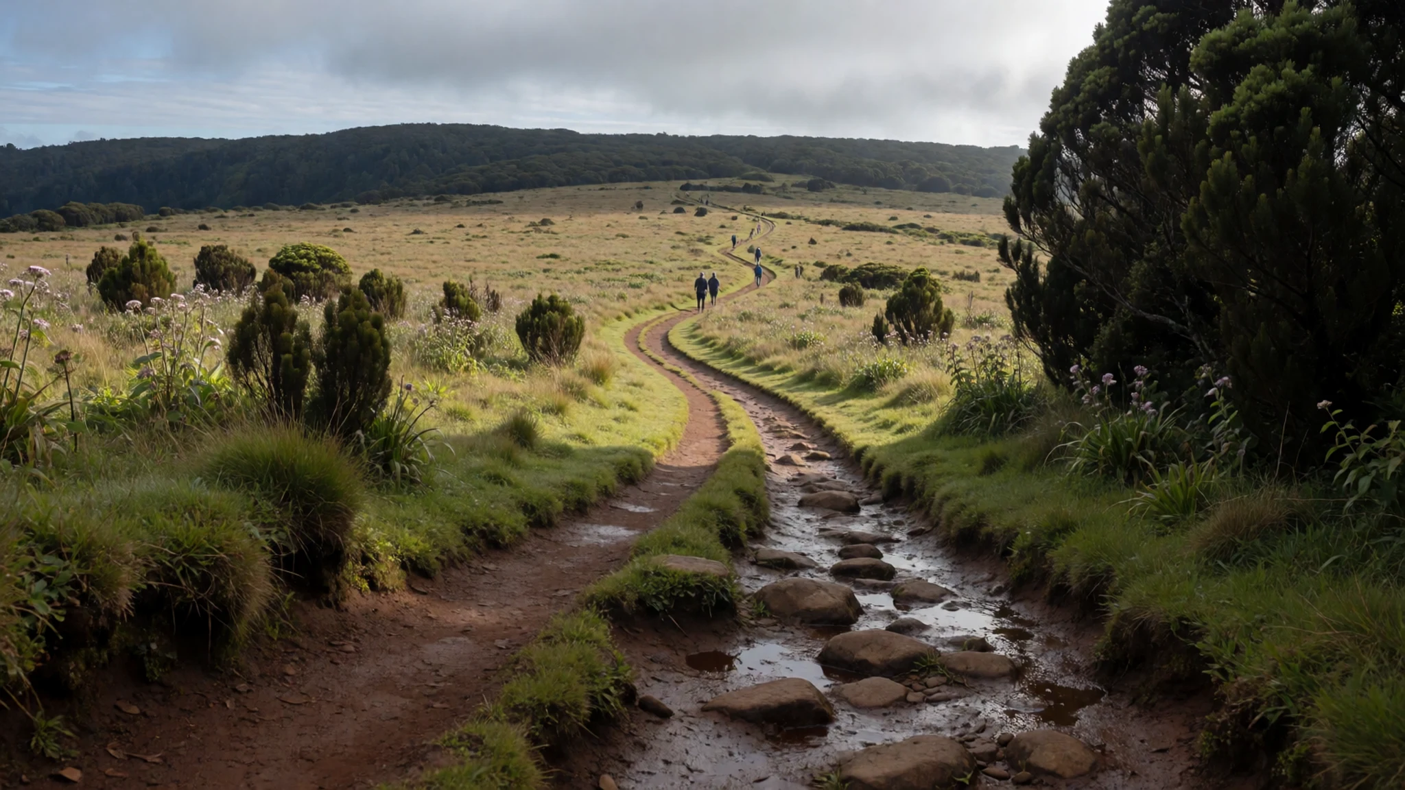
- Baker's Falls — Horton Plains, central highlands
A waterfall drops through rock and forest close to the park's walking routes, and it is one of the most photographed spots on the plateau. The water is at its most striking after rain, when the flow is fuller. The path to it can be slippery, so take care on the rocks near the water.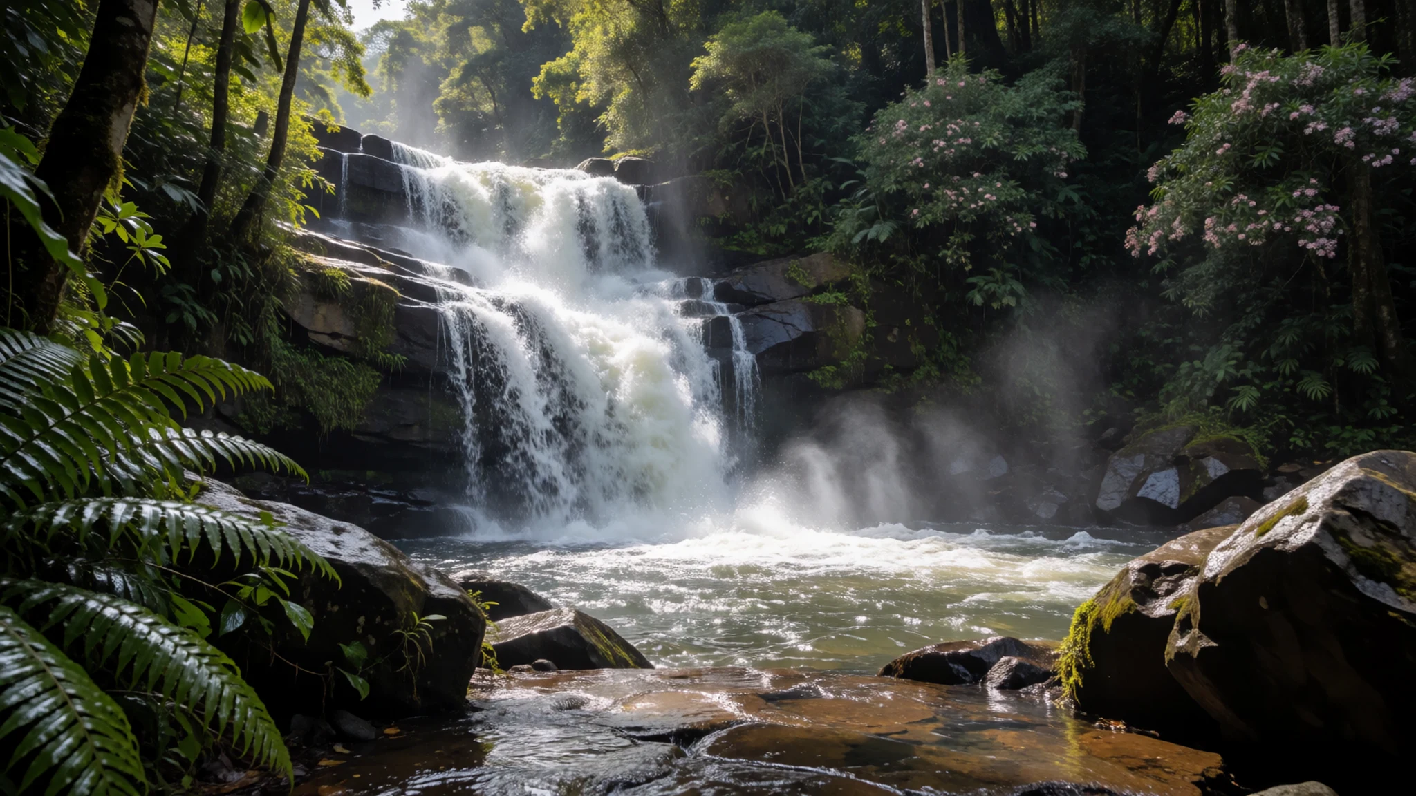
- World's End — Horton Plains, southern edge of the plateau
World's End is a sheer escarpment where the plateau drops away abruptly into the lowlands below. On a clear morning the view stretches a long way, but mist often rolls in from late morning. Go early, keep back from the edge and stay behind the railings where they are provided.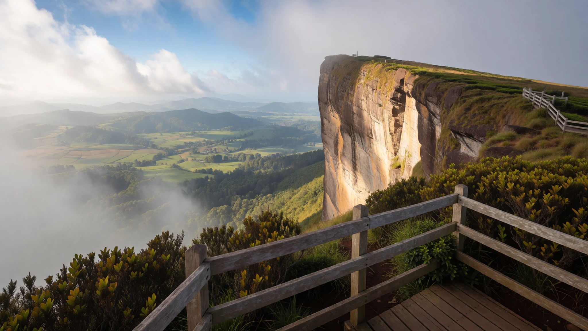
- Mount Kirigalpoththa — Horton Plains and Peak Wilderness area
At 2,388 m, Kirigalpoththa is the second highest peak in the Horton Plains area. It is a demanding climb rather than a stroll, and it is best attempted in dry weather with a guide who knows the route. Views from the summit reach across the surrounding highlands and forested ridges.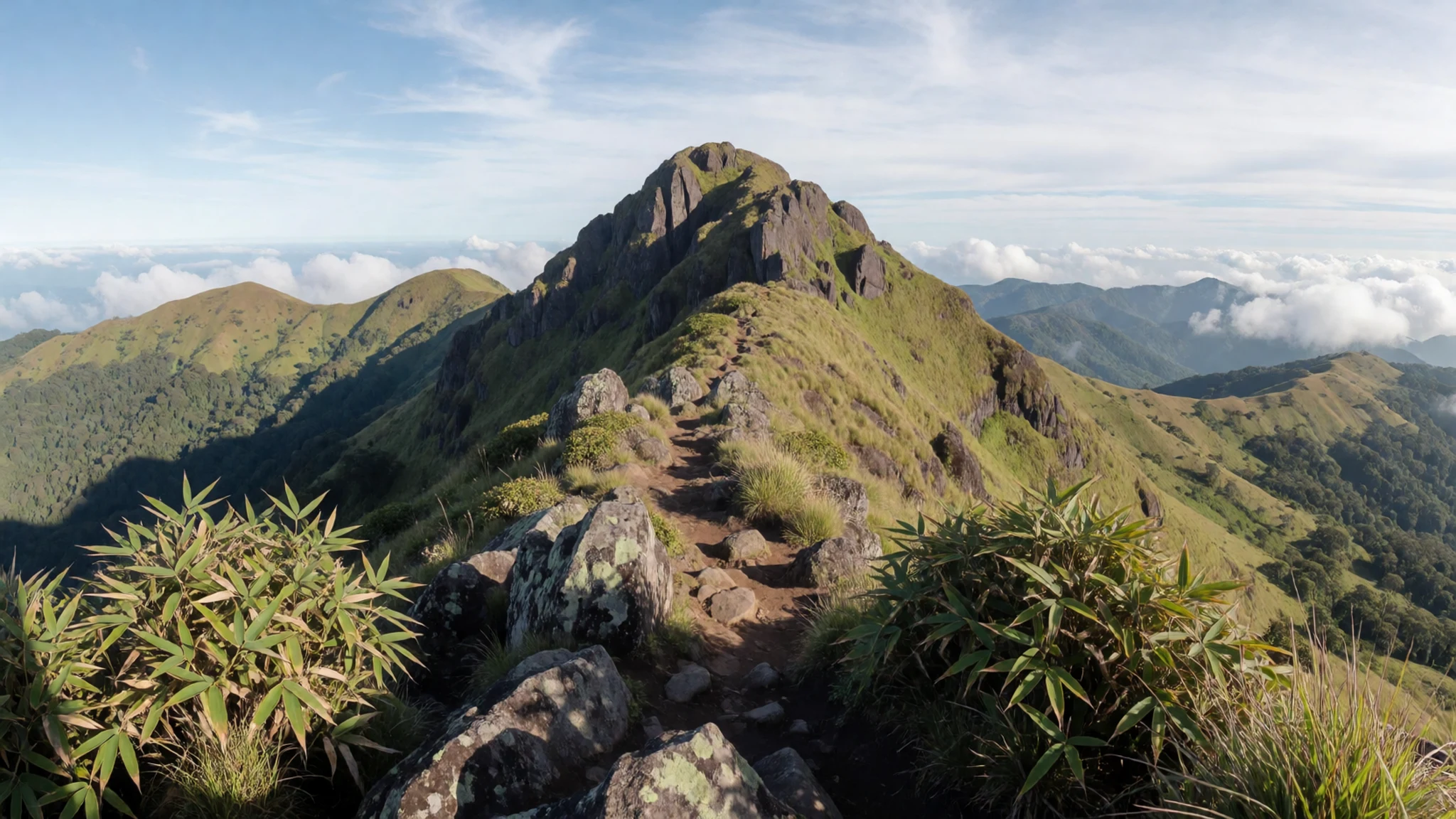
- Thotupola Kanda
Thotupola Kanda, at 2,357 m, is the third highest peak in the region and rises close to the plateau's northern side. Its slopes hold the same mix of cloud forest and grassland found across the park. Plan this as a long day, carry plenty of water and expect cold, wet conditions near the top.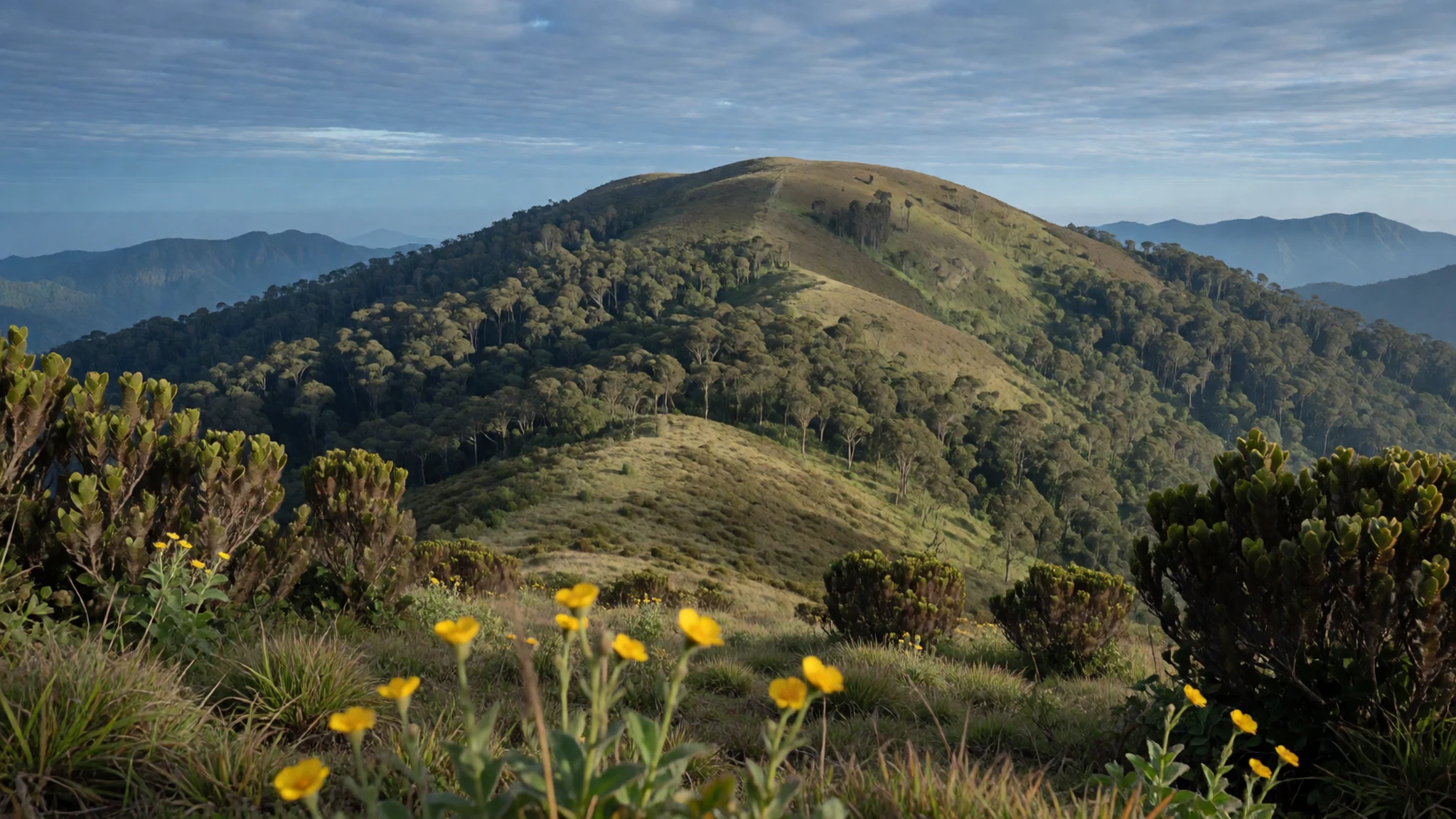
Culture
Horton Plains is a protected national park, and its rules are there to keep the plateau's plants and animals safe. Stay on marked paths, since the grassland and bog edges are fragile and trampling them causes lasting damage. Local communities have long relied on these hills for timber and water, so a quiet, respectful manner with the guides, rangers and tea-estate workers you meet along the road goes a long way. Visitors are encouraged to carry out all rubbish and to keep wildlife at a distance, because sambar deer and birds that are fed by people quickly lose their natural caution. Please take your litter back down the trail and never leave it at the viewpoints.
What to wear
Horton Plains lies in the cool central highlands, so the traditional dress you see in the wider area reflects Sri Lankan lowland customs rather than the plateau itself. Many men wear the sarong, a wrapped cotton cloth known locally as a sarama, while women often wear the saree, traditionally woven from cotton or silk. The Kandyan style of dress, with a distinctive draped blouse and pleated cloth, is still worn at festivals and in the hill towns. Most people on the road today wear practical clothes such as jeans, shirts, and cotton or synthetic trousers. On the plateau itself, visitors should wear warm layers, since temperatures can drop sharply in the mist. A waterproof jacket, a fleece and quick-drying trousers are sensible, along with sturdy walking shoes with a good grip for muddy and wet trails. Bring a hat and sunscreen for the clear spells, and avoid very short shorts or sleeveless tops when you visit nearby towns, temples or local homes.
What to eat
- Ceylon tea — any tea stall or estate shop in the hill towns on the approach road
Ceylon tea is grown on the highland estates that surround the park, and the cool, misty climate suits it well. A cup of black tea, often served with milk and sugar, is the most common drink in the hill towns. Ask for it plain if you prefer the flavour without additions.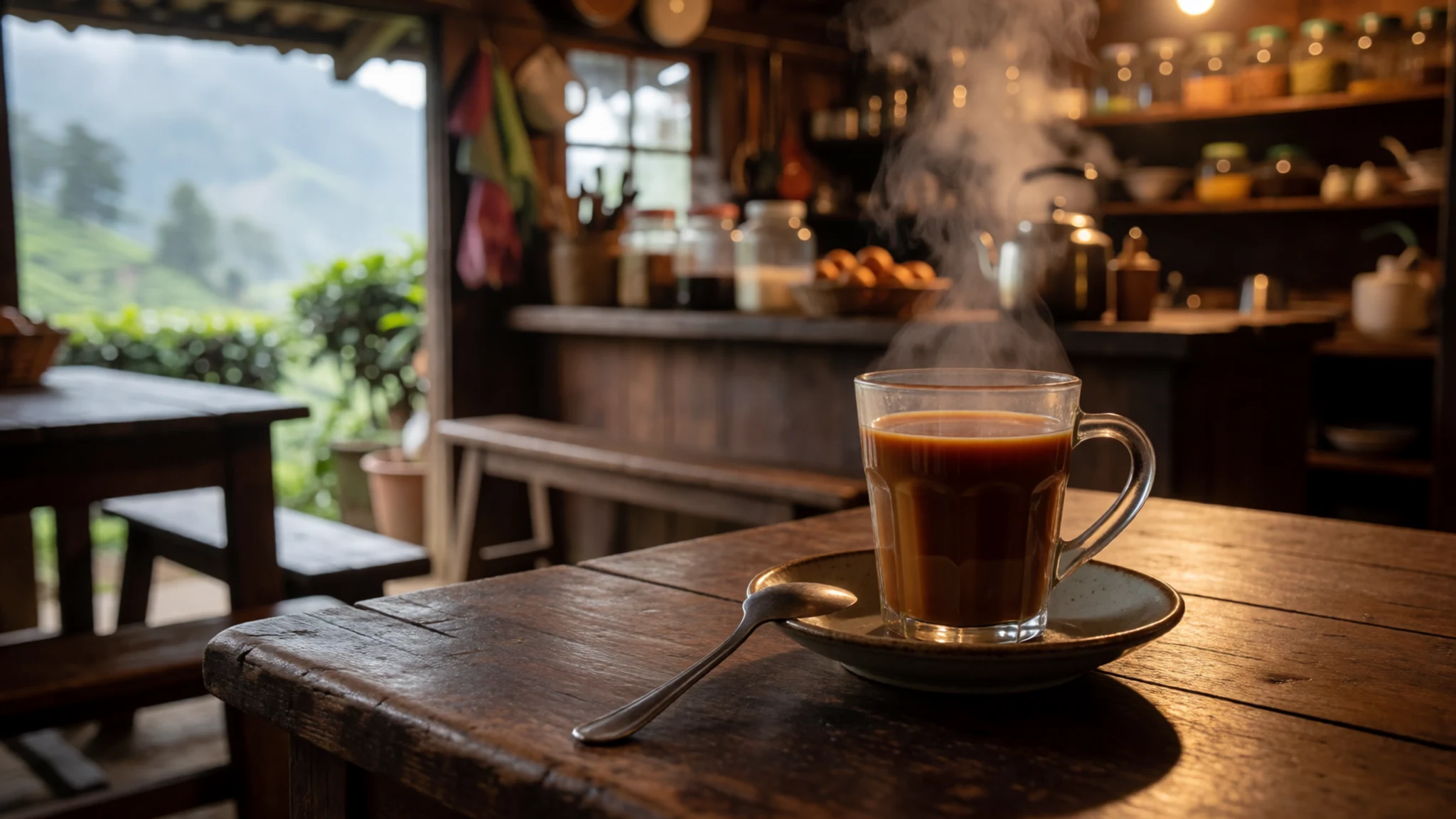
- Rice and curry — a local rice-and-curry eatery in the market town
A plate of rice with several small curries is the everyday meal across the island. Dishes typically include dhal, vegetables and fish or chicken, served with a spoonful of sambol. Lunchtime eateries are the best place to try it, and portions are generous.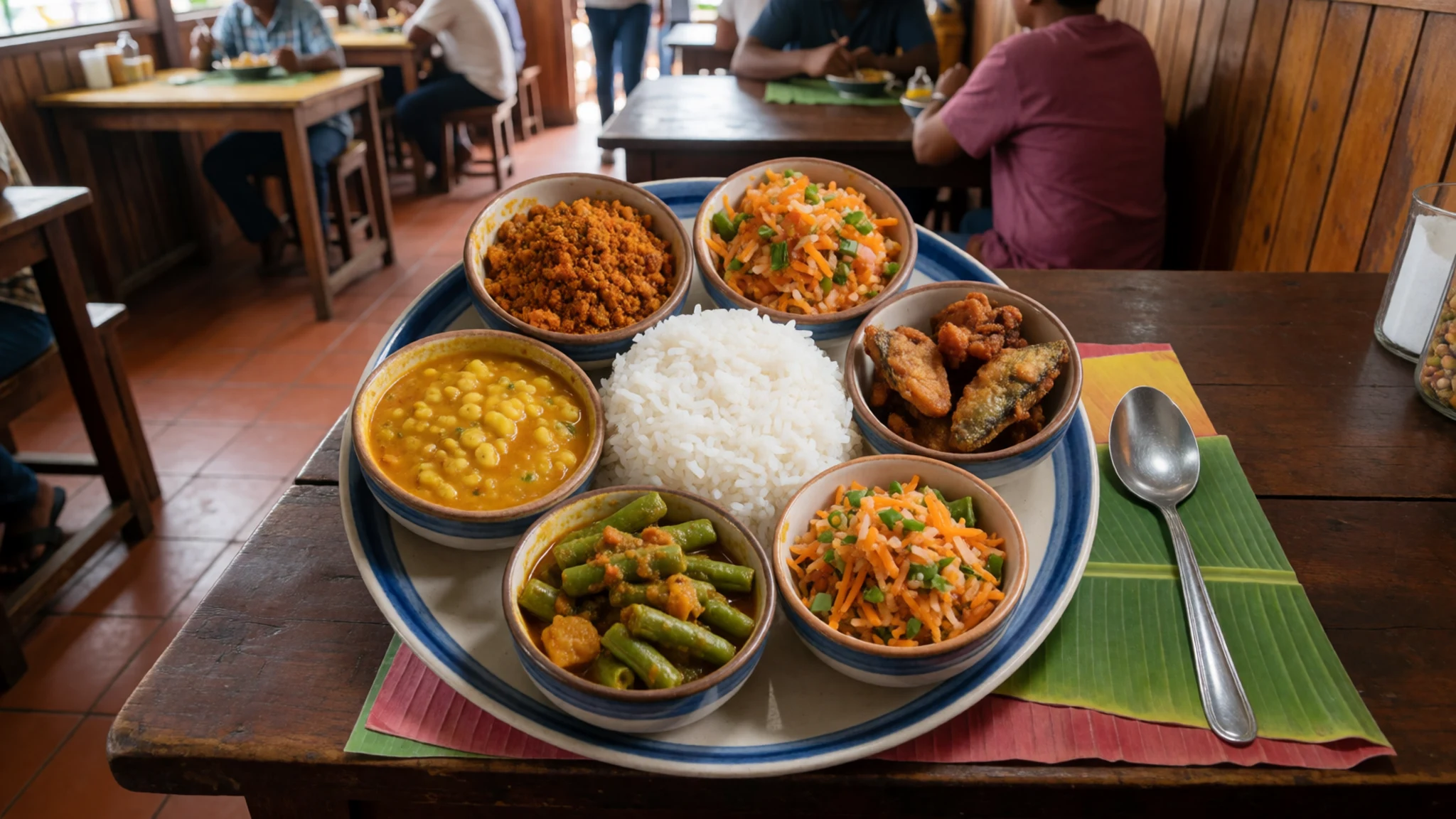
- Kottu roti — night street stalls in the main hill town
Kottu roti is chopped flatbread stir-fried on a griddle with vegetables, egg or meat, and it is often made to order with a loud rhythm of metal blades. It is a popular late-evening dish, so the best time to try it is after a long day on the trails. - String hoppers with coconut sambol — a morning breakfast eatery near the bus stand
String hoppers are steamed nests of fine rice-flour noodles, usually eaten at breakfast with a mild coconut sambol and a dhal curry. They are light and filling, which suits an early start for the walk. Look for them at small morning eateries. - Fresh king coconut — roadside stalls on the drive up to the plateau
Roadside sellers open young king coconuts with a machete and hand over the cool, lightly sweet water inside. It is a refreshing stop on a long drive up into the hills. Hand over a small amount in cash and drink it straight from the shell.
Plan it
Best time. February and July are generally the driest months, so the views and trails are at their most reliable then. The plateau gets rain and mist in most months, and the rainy spells can make the paths slippery and hide the scenery. Go early in the day in any season, because the cloud usually builds from late morning.
How long. 1–2
Getting there. Bandaranaike International Airport near Colombo is the usual arrival point. From there, travel to the hill towns of Nuwara Eliya or Ohiya by road or rail, and continue by taxi or private hire to the park entrance. The last stretch is steep and winding, so allow plenty of time.
Budget. mid
Tips
- Start walking early, ideally at first light, before the mist builds
- Check the official site for current entry arrangements and opening times
- Wear warm layers, a waterproof jacket and grippy shoes; the temperature drops quickly
- Carry water and snacks, as there are few places to buy food on the trail
- Consider hiring a local guide for the longer walks and the peak climbs
Etiquette
- Stay on marked paths and keep off fragile grassland and bog edges
- Do not feed the sambar deer or birds, and keep a respectful distance from wildlife
- Carry out all rubbish and leave viewpoints as you found them
Nearby
Sources
- Wikidata Q1630245 (CC0)
- Wikipedia: Horton Plains National Park (rev 1382022832) (CC BY-SA 4.0)
- Wikivoyage: Horton Plains (rev 3503034) (CC BY-SA 4.0)
- mountain forest srilanka.jayant, Faslan, via Wikimedia Commons (CC BY 3.0)
- Selfie with waterfall in Horton Plains, A-wiki-guest-user, via Wikimedia Commons (CC BY-SA 4.0)
- Sri Lanka, Horton Plains, Rhododendron trees, Vyacheslav Argenberg, via Wikimedia Commons (CC BY 4.0)
- Mossy cloud forest plants in Hortan Plains National Park, Javith Dulnita, via Wikimedia Commons (CC0)
- Oberonia mahaeliyensis in Hortan Plains National Park, Javith Dulnita, via Wikimedia Commons (CC0)
- Sambar in Horton Plains National Park, Cherubino, via Wikimedia Commons (CC BY 3.0)
- White eye in Horton Plains National Park, Schnobby, via Wikimedia Commons (CC BY 3.0)
- Aristea ecklonii im Nationalpark Horton Plains, Schnobby, via Wikimedia Commons (CC BY 3.0)


