Horseshoe Bend (Arizona)
Horseshoe Bend (Arizona), United States
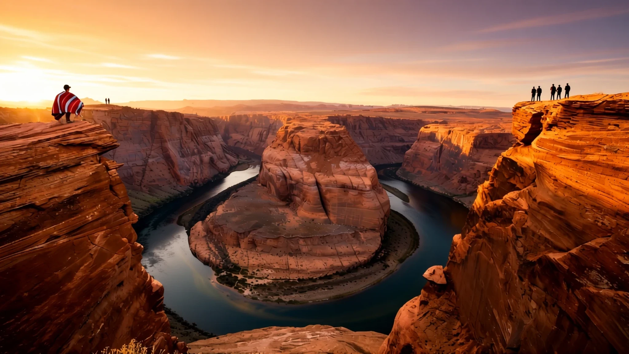
Horseshoe Bend is a red-rock loop of the Colorado River near Page, Arizona, reached by a short walk to a cliff edge.
The place
Horseshoe Bend is a tight, horseshoe-shaped loop of the Colorado River in the Glen Canyon National Recreation Area, a short walk from the town of Page in northern Arizona. The river comes down from Glen Canyon Dam and Lake Powell, which lie just upstream, and then turns back on itself so sharply that the overlook looks down on an almost closed ring of water. The viewpoint stands at about 1,300 metres above sea level, while the river runs several hundred metres below the rim, at the foot of a sheer wall of red rock. Parking is just off the main road through Page. From there the path drops gently towards the edge, and the climb back up is unshaded and hard work in the heat. The land south of the car park, the trail and the overlook is part of the Navajo Nation, so visitors are walking across tribal territory rather than an open public park. Crowds are the main fact of life here. The trail is busiest in the hour before sunset, when large groups gather at the rim, and the light is softest and warmest in the late afternoon. Winter mornings can be cold and summer afternoons can be fierce, so timing matters as much as footwear. The place is best understood as a single view, but the surrounding country, with the dam, the lake and the wide plateau, gives the bend its context.
Its story
Horseshoe Bend began as a gentle river crossing a flat floodplain, not as the deep gorge it is today. Millions of years back, this ground sat much nearer the height of the sea, and the river roamed without a fixed course across its valley floor, swinging from one side to the other. Then the region began to rise. As the ground lifted, the river found itself locked into the channel it had already carved, and instead of spreading out again it began to cut straight down. The loops that had been shallow bends became deep, narrow incisions with steep walls, and the particular curve seen today is the result of that downward cutting. Geologists call this kind of feature an entrenched meander, and Horseshoe Bend is one of the clearest examples of the type. The cause of the uplift remains uncertain. One proposal is that the lowest layer of the continental plate beneath the Colorado Plateau peeled away and sank into the mantle, allowing hotter rock from deeper down to push the crust upwards. Another idea is that heat rising beneath the crust did the lifting. Both explanations are still debated, and new work on the region continues. What is not in doubt is the result: a river that has been slowly and steadily carving its way through layered rock, leaving behind a bend that now seems almost too neat to be natural.
What to see
- Horseshoe Bend overlook — Glen Canyon National Recreation Area, just south-west of Page
The main reason to come is the clifftop overlook, where the river loops almost completely around a red-rock peninsula about 300 metres below the viewer's eye line. The path from the car park is short but exposed, so carry water, wear a hat, and keep to the marked route. Go in the early morning for quieter edges or in the hour before sunset for warm light, but expect company at both times. Stay back from the drop, because the ground near the rim is loose.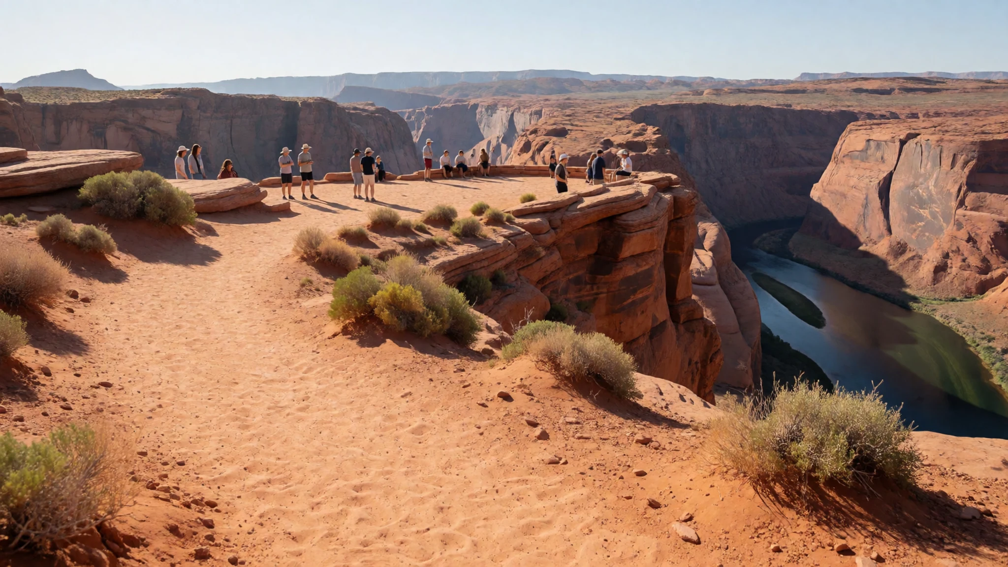
- Glen Canyon Dam and Lake Powell — Glen Canyon National Recreation Area, upstream of Page
Upstream, the dam holds back Lake Powell, a long reservoir that spreads across the canyon country of southern Utah and northern Arizona. The dam and the lake give the river its character downstream, controlling the flow that carves the bend. Boat tours and viewpoints around the reservoir make a good half-day alternative when the midday heat rules out a long trail walk. Check the current visitor arrangements before you go, as access points and tours change with the season.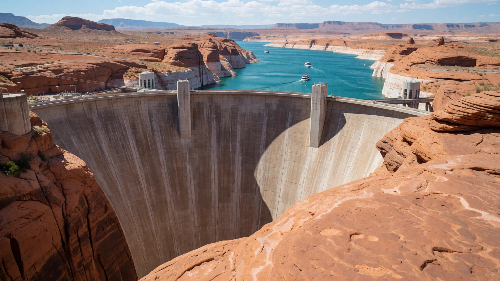
- Monument Valley — Navajo Nation, north-east Arizona
Monument Valley is a sprawling landscape of isolated sandstone buttes and mesas rising from flat desert, and much of it sits within the Navajo Nation. It is a popular day trip from Page for visitors who want to see the broader red-rock country. Guided tours of the valley floor are the usual way to go, since many roads and sights are on tribal land and are best approached with a local operator. Expect long drives, little shade and a lot of dust.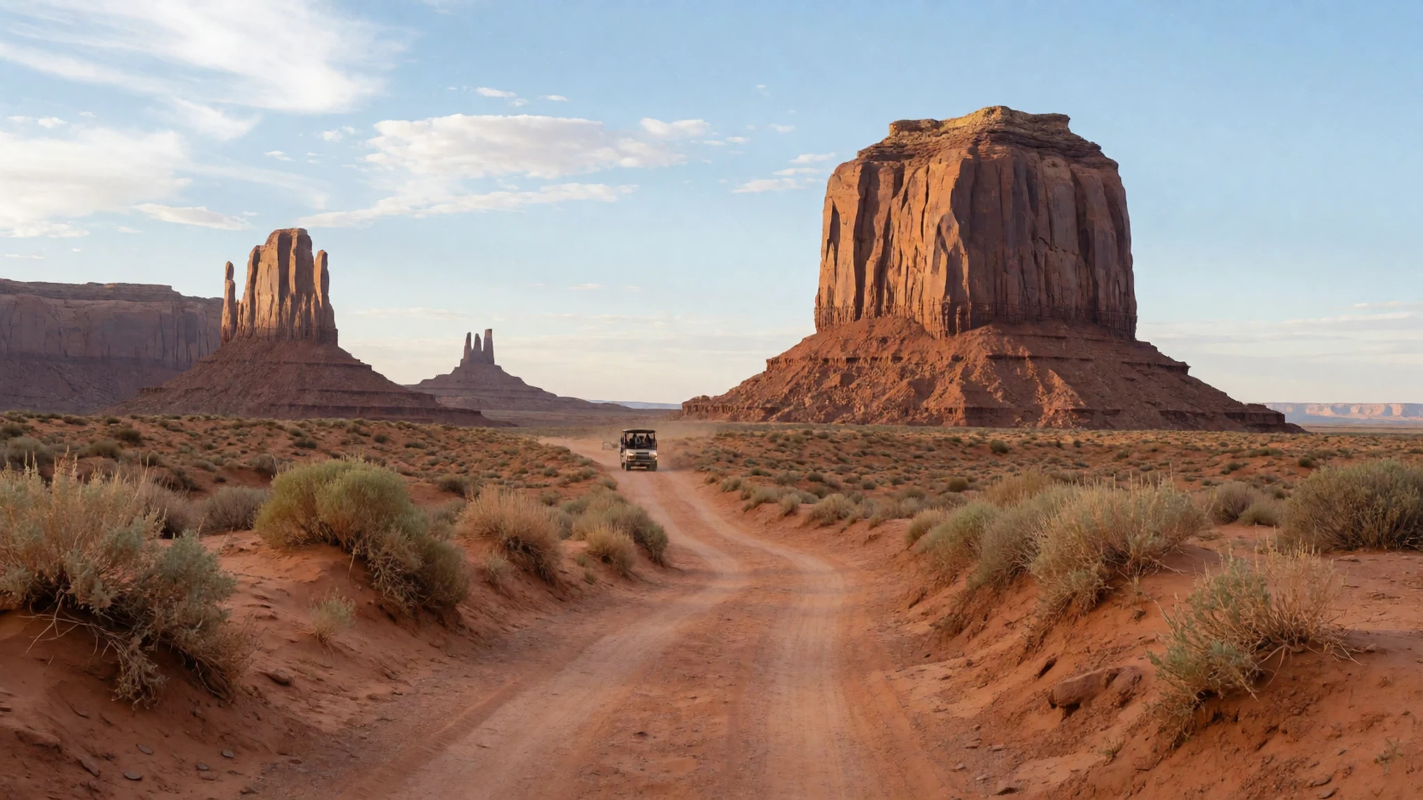
- Grand Canyon National Park — Northern Arizona, a drive south-west of Page
The Grand Canyon is the big landscape that many visitors combine with Horseshoe Bend, and it is a long way from a quick detour. The South Rim is the most visited part of the park and has its own services, viewpoints and shuttle buses, which are worth using to avoid parking problems. Plan a full day at least, and remember that the rim is high and exposed, so the weather can change quickly. Book any timed entry or lodging well ahead in the busiest months.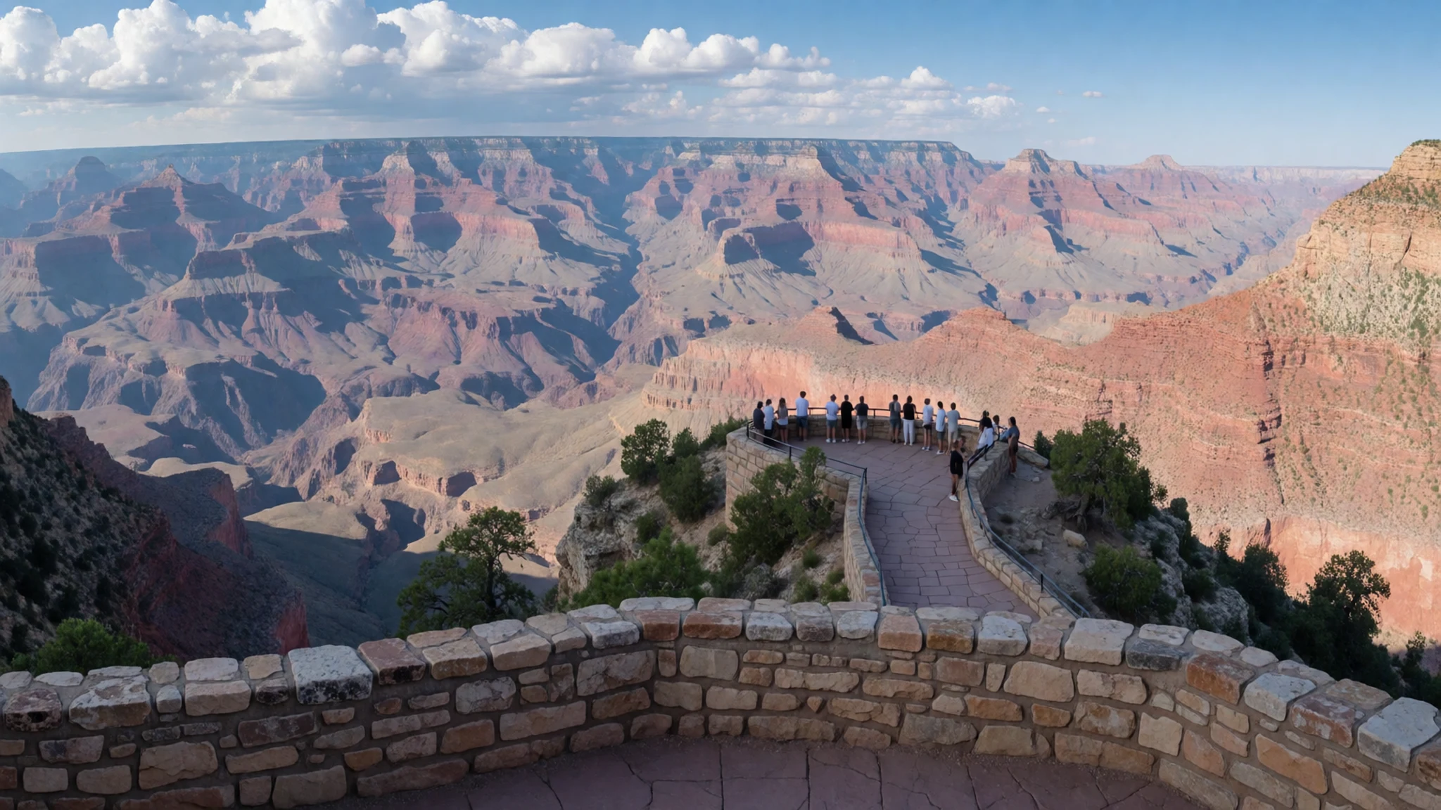
Culture
Arizona has become more politically competitive in recent years, but many Arizonans, especially in and around Phoenix, are socially and politically conservative and hold strong Catholic or other Christian beliefs. Conversations about religion, politics, race, gay rights and other divisive subjects are best avoided unless the other person raises them first, and then listened to with care. Much of the surrounding land belongs to the Navajo Nation, whose people live and work across the region, and the trail to the overlook crosses that territory. Visitors should keep to marked paths, respect any signs or closures put up by tribal authorities, and ask before photographing people, homes or ceremonies. Locals in Page and the nearby towns are generally friendly and practical, so a polite greeting goes a long way. Noise is best kept low at the rim, where sound carries across the canyon and other people are trying to take in the view. Please stay on the trail and do not climb or sit on the rock edge for a better photograph.
What to wear
Traditional dress in the Navajo Nation centres on practical clothing, with the textiles and jewellery of the region carrying most of the cultural weight. Navajo weaving, usually done on upright looms with wool, is known for geometric patterns and is still made today, while silversmithing, often set with turquoise, is a long-standing craft tied to family and place. Many older Navajo women wear full-length skirts and blouses in traditional styles, though this is more common at ceremonies than in daily life. Across the wider area, people now dress much as they would anywhere in the American West: jeans, boots, t-shirts, fleece for cool evenings and the occasional cowboy hat in small towns. Visitors should dress for the climate and the terrain rather than for any formal rule. Light, loose layers in cotton or breathable synthetic fabric keep you cool in the sun, while a warm layer is needed for early mornings and winter evenings. A wide-brimmed hat, sunglasses and high-factor sunscreen are essential, and closed shoes with good grip suit the sandy, steep path better than sandals. Modesty norms are relaxed at the overlook, though covering shoulders is a sensible courtesy when visiting any community or ceremony.
What to eat
- Sonoran-style burrito — Street-side burrito stands and small neighbourhood stalls
A large flour-tortilla burrito from the northern Mexican tradition, filled with grilled beef or beans, cheese and sometimes potato. Look for a street-side burrito stand or a working neighbourhood stall in Page or the larger towns along the route. These are cheap, hearty and built for hikers, so they suit a packed lunch before the trail.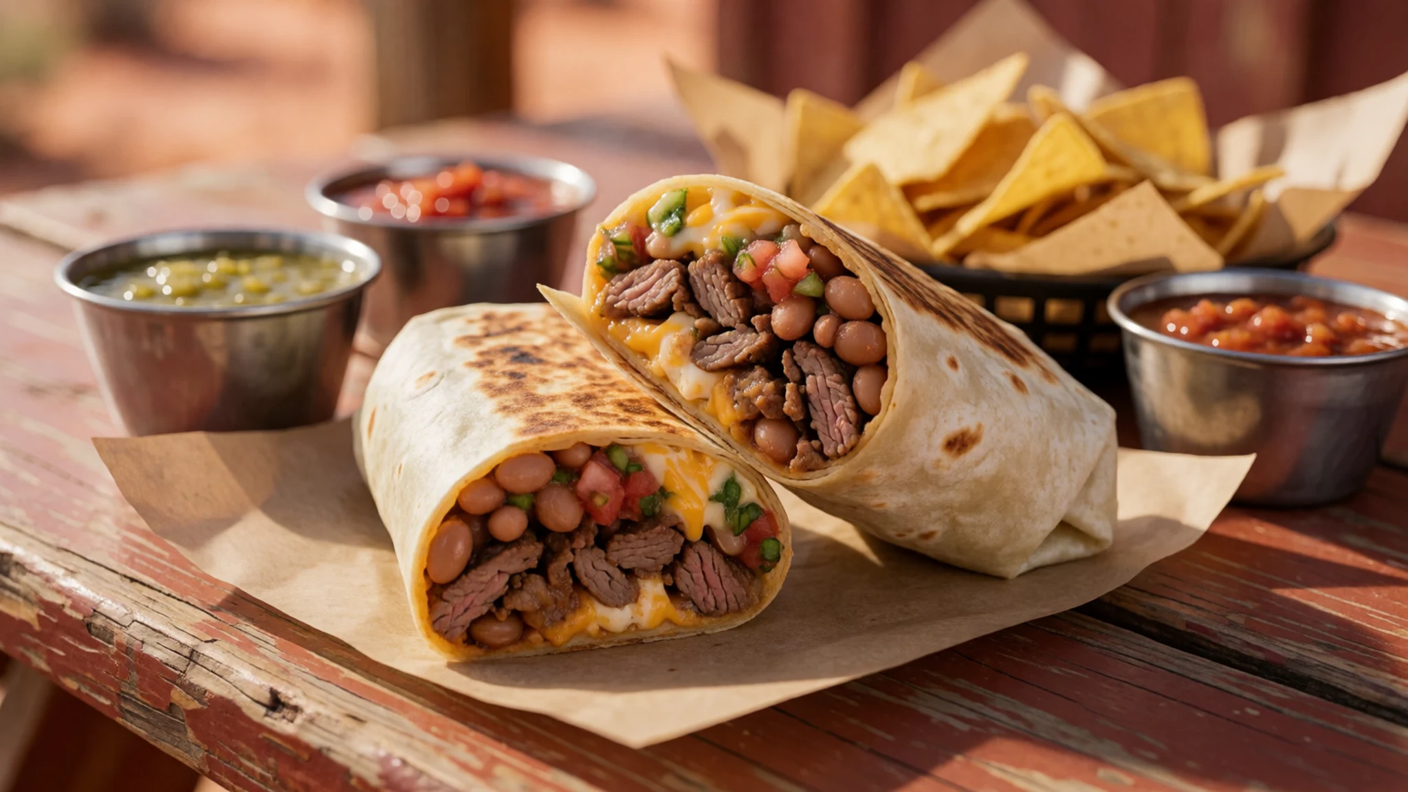
- Street tacos — Neighbourhood taquerías in Page and the larger Phoenix suburbs
Small corn tortillas with carne asada, chicken or pork, topped simply with onion, coriander and salsa. A proper taquería is the best place to find them, usually a counter-service spot with a grill visible from the street. They are quick, inexpensive and ideal for a late lunch after the walk.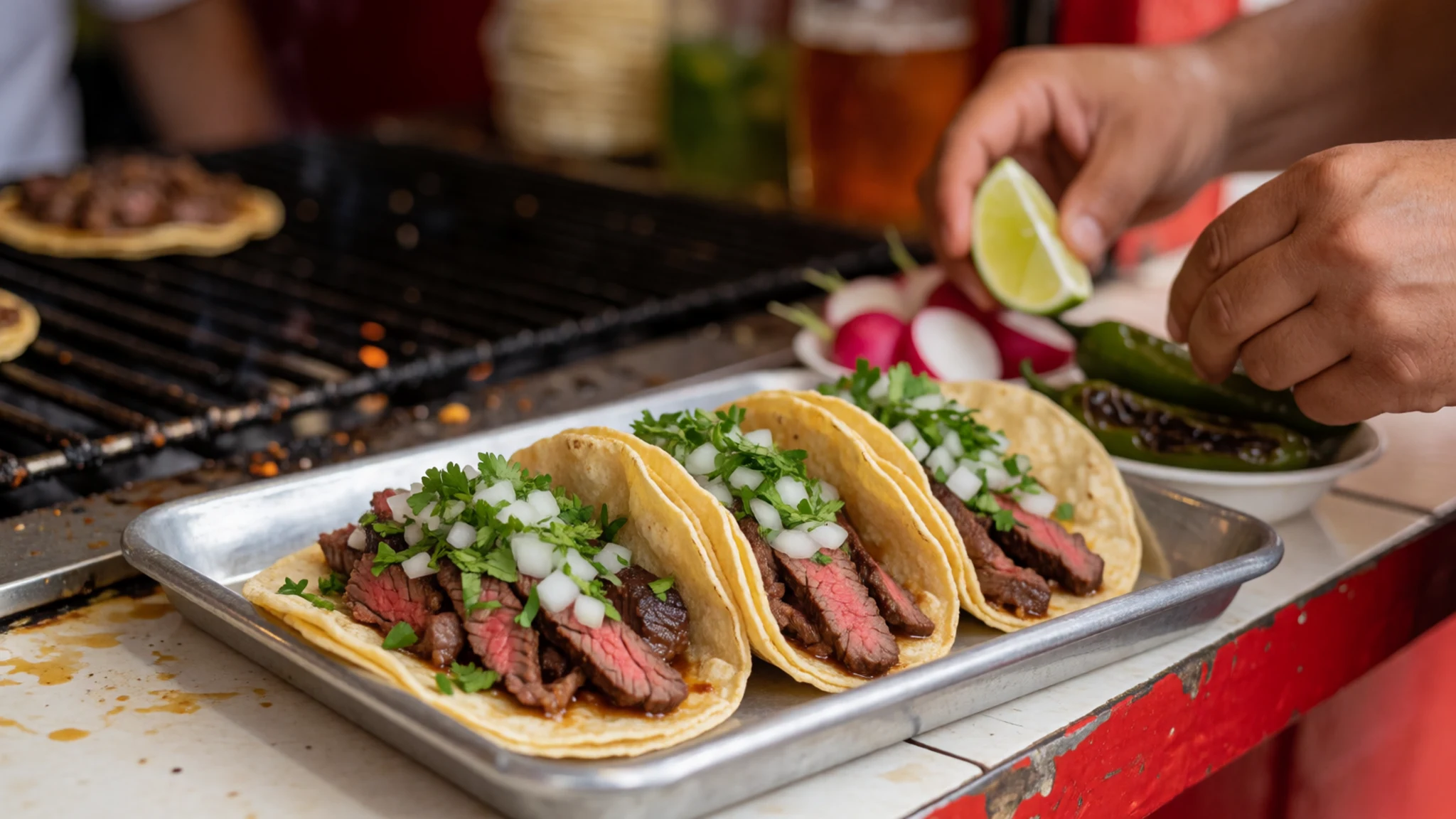
- Chimichanga — Southwestern diners and family-run Mexican restaurants
A burrito that is deep-fried until the tortilla is crisp, often served with melted cheese, guacamole and sour cream. Arizonans claim to have invented it, and it appears on most Southwestern menus, so it makes a rich dinner after a hot day. Share one if the portions look large.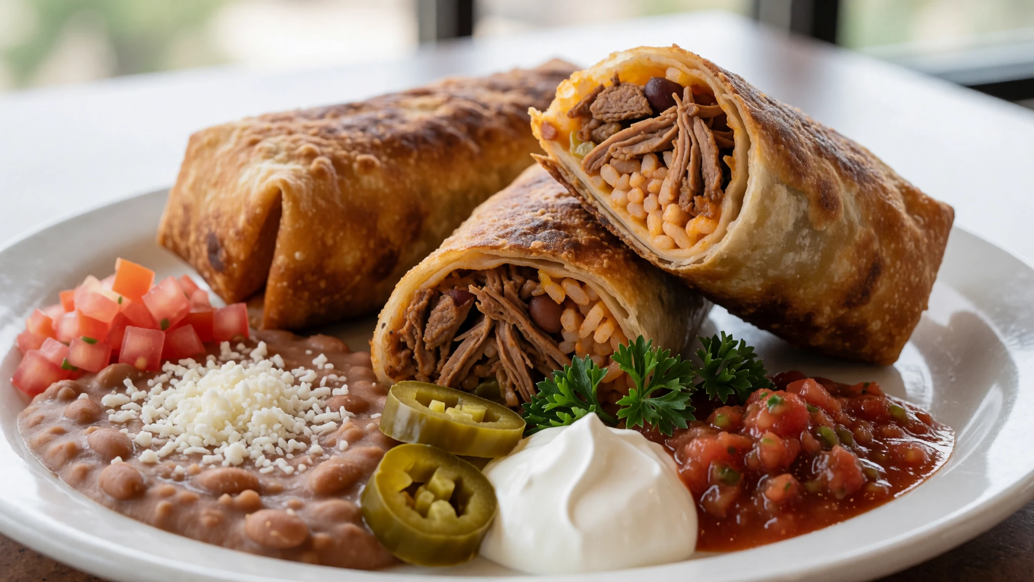
- Nopales — Traditional Mexican eateries and Southwestern kitchens
Cactus pads, the flat green paddles of prickly pear, are edible and are cooked fried, grilled or sliced into salads. They have a tart, green flavour and a slightly slippery texture when cooked. Look for them on the menus of traditional Mexican eateries and some Southwestern kitchens, often served alongside eggs or in a salad.
Plan it
Best time. March–April for mild days and spring colour, and October–November for cooler air and quieter trails; midsummer is very hot with little shade on the path, and winter mornings can be cold.
How long. 1–2
Getting there. Fly into Las Vegas (Harry Reid International, LAS) or Phoenix (PHX), then drive to Page for the last stretch, which is a few hours by car across open desert.
Budget. low
Tips
- Go in the early morning or the late afternoon, as midday heat on the exposed path is harsh
- Carry more water than you think you need and a hat, since there is little shade
- Expect crowds at sunset and plan your time at the rim accordingly
- Take cash for small purchases in Page, though cards are widely accepted
- Check the official site for current access arrangements before you travel
Etiquette
- Stay on the marked path and keep back from the rim edge
- Respect Navajo Nation land and any closures or signs put up by tribal authorities
- Ask before photographing people or homes
Nearby
Sources
- Wikidata Q1064449 (CC0)
- Wikipedia: Horseshoe Bend (Arizona), rev 1380008004 (CC BY-SA 4.0)
- Wikivoyage: Arizona, rev 5400383 (CC BY-SA 4.0)
- Grand Canyon Horseshoe Bend (crop 2), Thomas Wolf (CC BY 3.0)
- Grand Canyon Horseshoe Bend, Thomas Wolf (CC BY 3.0)
- Lake Powell and The Rincon, Utah, NASA Earth Observatory (CC BY 2.5)
- Horse Shoe Bend Hike, Drums600 (CC BY-SA 4.0)
- 500px photo 28952187, Modesto Enrico Rasetti (CC BY 3.0)
- 500px photo 28952195, Modesto Enrico Rasetti (CC BY 3.0)
- Aerial view of Horseshoe Bend, Kyle Hawton (CC BY 3.0)
- Another look at Horse Shoe Bend, Janusz Sobolewski (CC BY 2.5)


