Hopewell Rocks
Hopewell Rocks, Canada
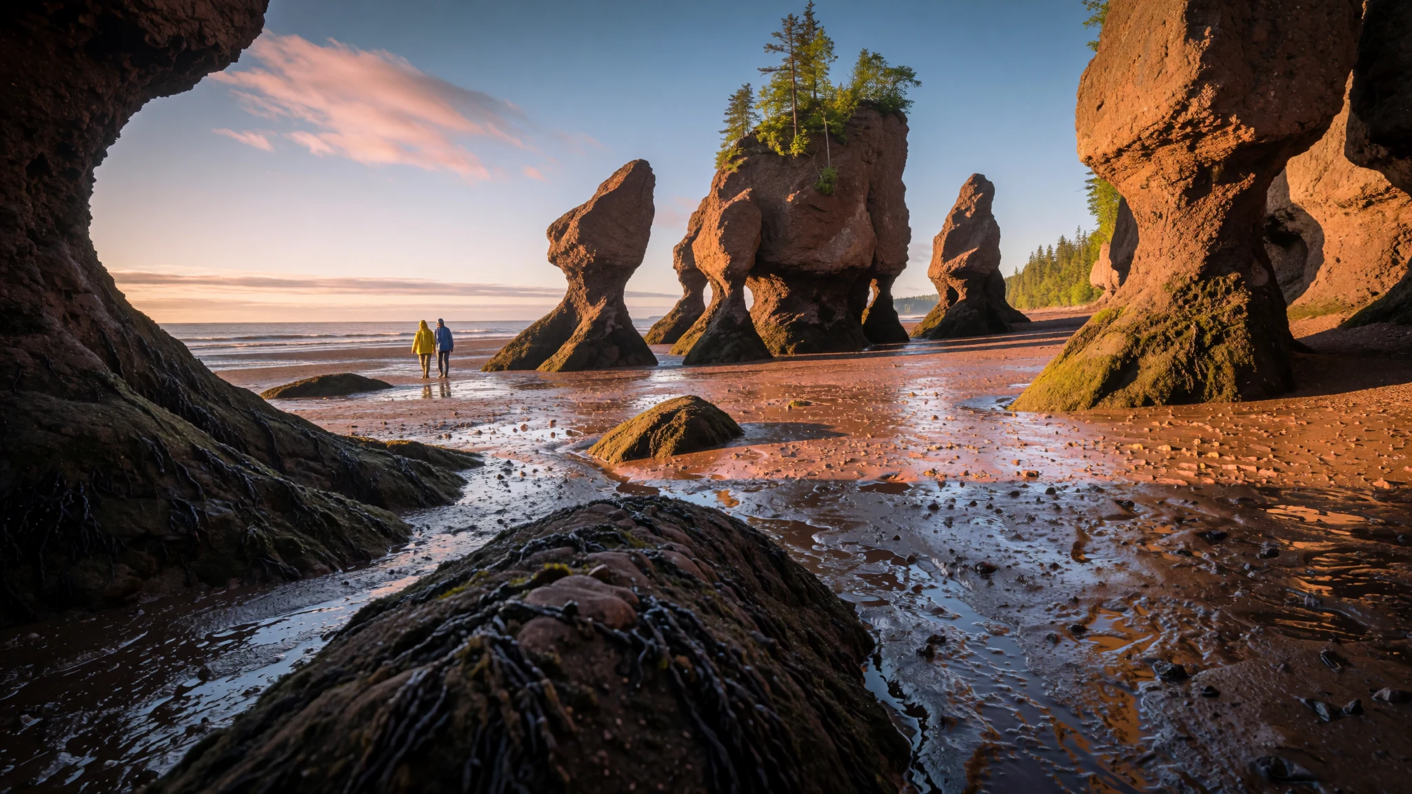
Go for sea stacks that stand in a basin draining twice a day, on one of the highest tidal ranges anywhere.
The place
Hopewell Rocks sit on the upper shore of the Bay of Fundy in New Brunswick, where the sea stacks stand in mud until the tide returns. Locals also call them the Flowerpot Rocks, and their shape is the first thing anyone notices: slim pillars capped with heavier tops, rising out of a basin that empties almost completely twice a day. The park is built around that rhythm. At low water the bases of the stacks can be reached on foot across the sea floor, and at high water the same ground lies under deep, moving water. The tides here reach up to about 16 metres (52 ft) on the biggest days, which places the bay among the highest tidal ranges anywhere and explains why the scene feels so changed from one hour to the next.
The stacks are made of red-brown conglomerate and sandstone from the Carboniferous period. After the glaciers retreated, rainwater seeping into cracks loosened the cliff and split off the columns. Tides then did most of the shaping, wearing the bottom of each stack faster than its top, which gives the familiar narrow waists and wider caps.
The mudflats around the rocks are rich feeding ground, and shorebirds gather in numbers to feed and rest. The site sits at the end of a run of coastal attractions that includes Fundy National Park and the Fundy Trail, so it fits into a wider loop of the shore.
Crowds gather at low tide, when the walk out is steep and slippery and the mud can be deep. Visitors who plan around the tide tables, rather than the clock, tend to have the most rewarding visit.
Its story
The stacks at Hopewell were shaped over a very long time, but their most recent change came suddenly. In March 2016, a large piece of Elephant Rock broke away after the tide had gone out that morning. Park staff said the fall closed off a section of passage that visitors had once walked, and it served as a reminder that a rock which looks solid can be undercut by every tide.
The shapes are the record of water working on rock from two directions. Meltwater and rain found their way into the cliff after the last ice age, loosening the face and separating blocks from the wall. Then the Bay of Fundy, which moves an enormous volume of water in and out each day, scoured the bases harder than the tops. Stacks that are wider at the top than at the bottom are the visible proof.
The rocks also open a window onto the bay itself. Sediment flats spread across the basin, and they feed the birds that stop to rest and the creatures living in the mud. The same process that built the stacks keeps the flats moving, so the scene is never fixed.
The name Flowerpot Rocks reflects how the formations look from the viewing area, with their broad heads sitting on narrow stems. The site has since become a place where geology is explained on site, with interpretive staff working to connect the visible shapes to the forces behind them.
What to see
- Flowerpot Rocks at low tide
The main attraction is the stacks themselves, which can be approached on foot only while the tide is well out. Staff keep an eye on the water and guide the walk, and the ground shifts quickly from firm to slick. Standing at the base of a stack makes the scale clear: the rock climbs far above the head, and the line where the sea has worked the column is easy to see.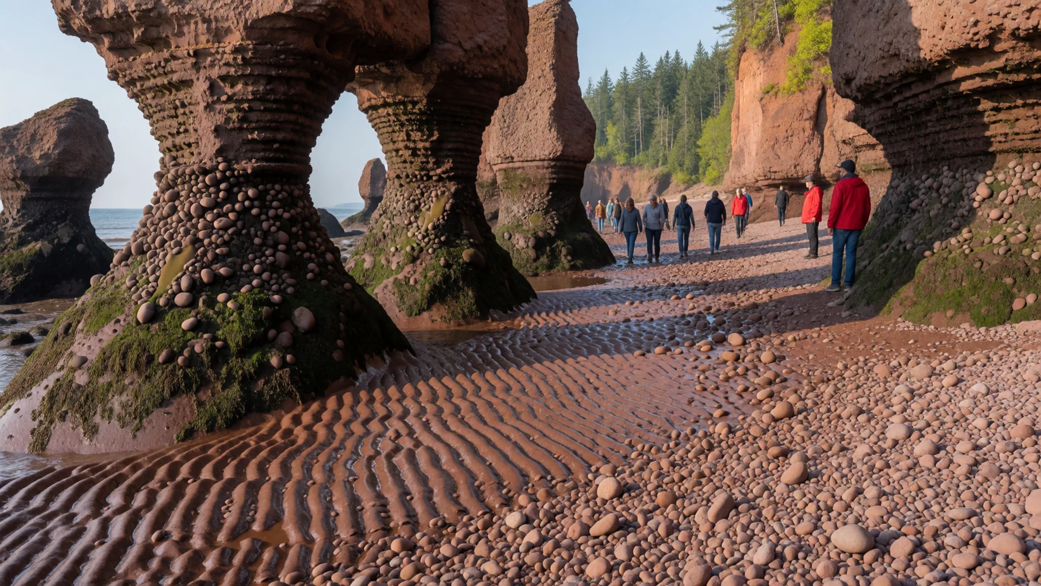
- Big Cove
Big Cove is the wide bay where the stacks look most dramatic at low tide, with a long stretch of sea floor exposed. The same view at high tide, with water up against the rock bases, shows how much of the scene disappears twice a day. Comparing photographs taken at both states is a good way to understand why the site rewards a careful timetable.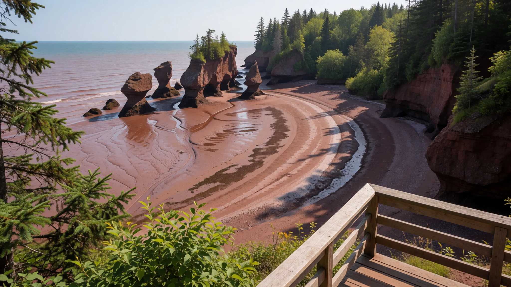
- Mudflats and shorebirds
Beyond the stacks, the broad sediment flats hold a rich community of small animals, which draws shorebirds to feed and rest. The birds are most visible when the mud is bare, so the hours either side of low water are the best time to watch them. Keep a respectful distance and stay on firm ground, because soft sediment can trap a walker.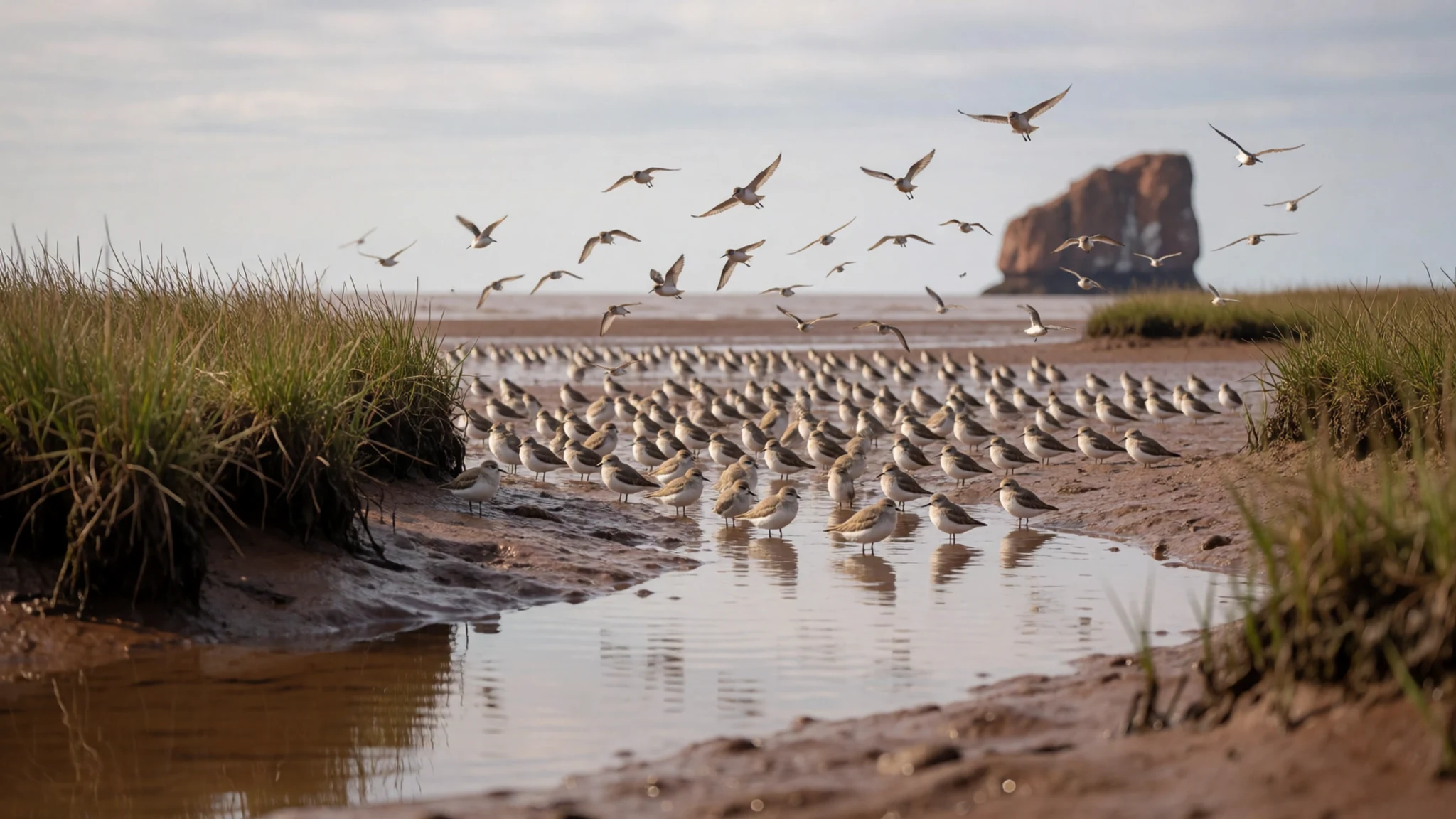
- Fundy National Park
Fundy National Park lies near the village of Alma, a short drive from the rocks, and covers coast and inland forest. Its trails run through conifer woods and along the shore, and it has several campgrounds, some with wilderness pitches and others more comfortable. It makes a sensible base for a few nights, pairing forest walks with the coastal views the Bay of Fundy is known for.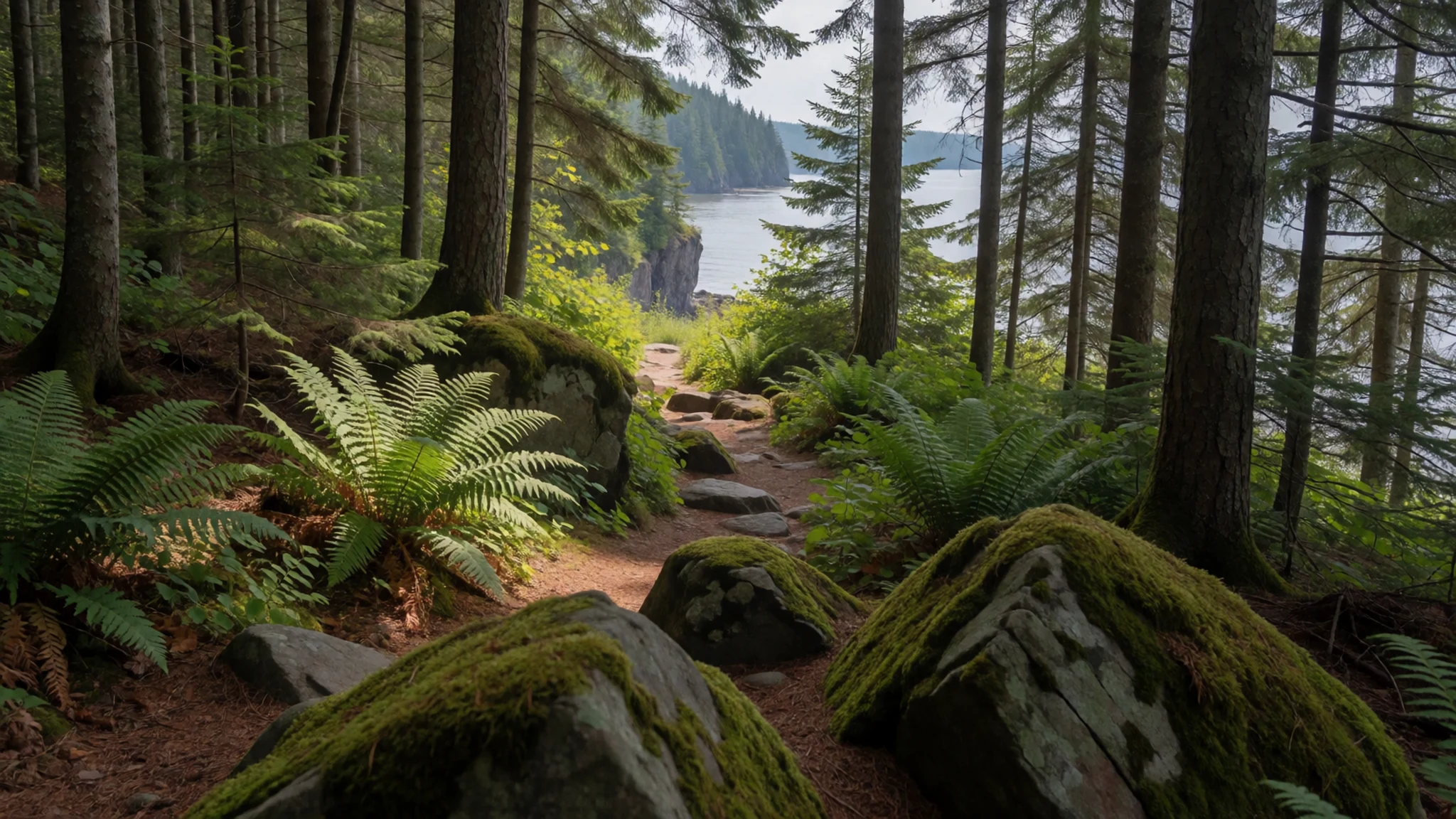
- The Fundy Trail
The Fundy Trail is a coastal route that links with the wider run of Fundy attractions and follows the shore for much of its length. Sections can be walked or driven, and the route shows how the cliffs and beaches change along the bay. Check current access and parking details with the local tourism office before setting out, since coastal conditions shift with the seasons.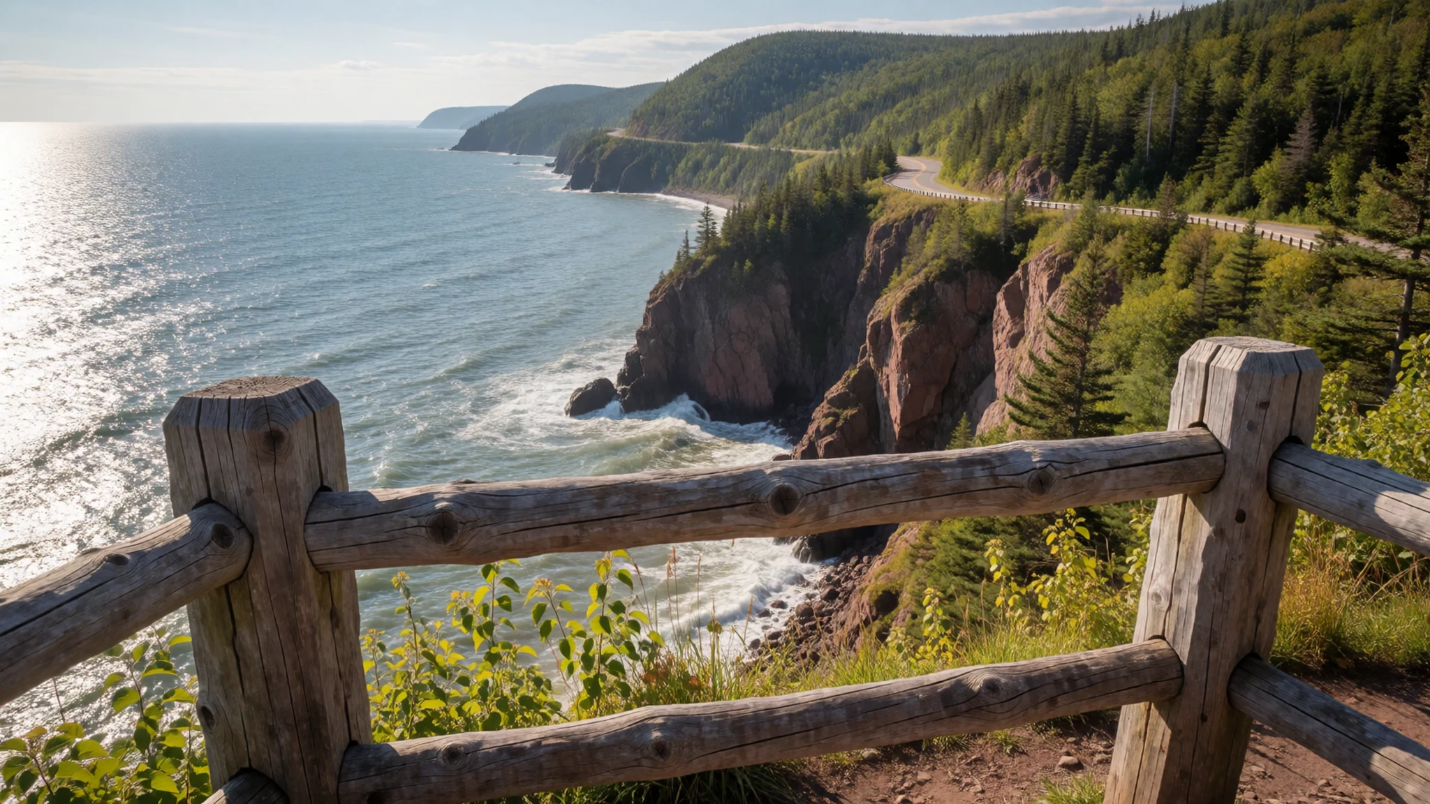
Culture
Hopewell Rocks sits in a province where two strands of history meet. Acadian communities trace their roots to French settlers on the Atlantic coast, while British Loyalists arrived after the American Revolution, and both shaped the towns and museums on the way to the shore. Living-history villages such as Kings Landing and the Village Historique Acadien show how these communities lived in earlier centuries. French and English are both spoken, and locals are used to visitors who speak either language, or neither.
The park itself is a working place with staff, signs and a routine set by the tides, rather than a religious or heritage site with formal rules. The culture on the shore is one of coastal caution. Fishing, tides and weather have shaped how people here talk about the water, and staff are quick to warn about changing conditions.
Stay off the mudflats when staff have closed a section or the tide begins to turn, and keep to the marked paths around the stacks, because the sea returns across the flats faster than most people expect.
What to wear
Clothing around Hopewell Rocks comes from fishing, farming and the Acadian and Loyalist communities that settled the coast. The traditional dress that can be sourced here is limited, so this section describes the region's textile habits rather than a formal costume. Wool was the everyday fabric of coastal life for generations, and checked wool shirts and knitted sweaters, with heavy oilskin coats for work on the water, still shape the local look. Some Acadian communities bring out festival costume for national celebrations, with woven and embroidered textiles, but this is occasional rather than everyday wear.
What people wear now is practical and layered: waterproof jackets, fleece, jeans, and rubber boots in the harbour towns. In summer, lighter cotton works through the day, but a warm layer is needed once the wind comes off the bay.
A visitor should pack layers, a wind- and rain-proof outer shell, and sturdy footwear with good grip for mud, wet rock and steep paths. Trainers that cannot get wet will be ruined on the flats. No religious dress rules apply at the park, but covering the shoulders is a courtesy when visiting a church or memorial in the region.
What to eat
- Fiddleheads — Spring markets and farm stands in the Saint John River Valley; ask at eateries in season
Fiddleheads are the coiled young fronds of a fern, picked in spring and served as a green vegetable, often boiled and buttered or quickly fried. They are one of the province's seasonal specialities, so they appear on menus only for a short time each year and are worth asking about.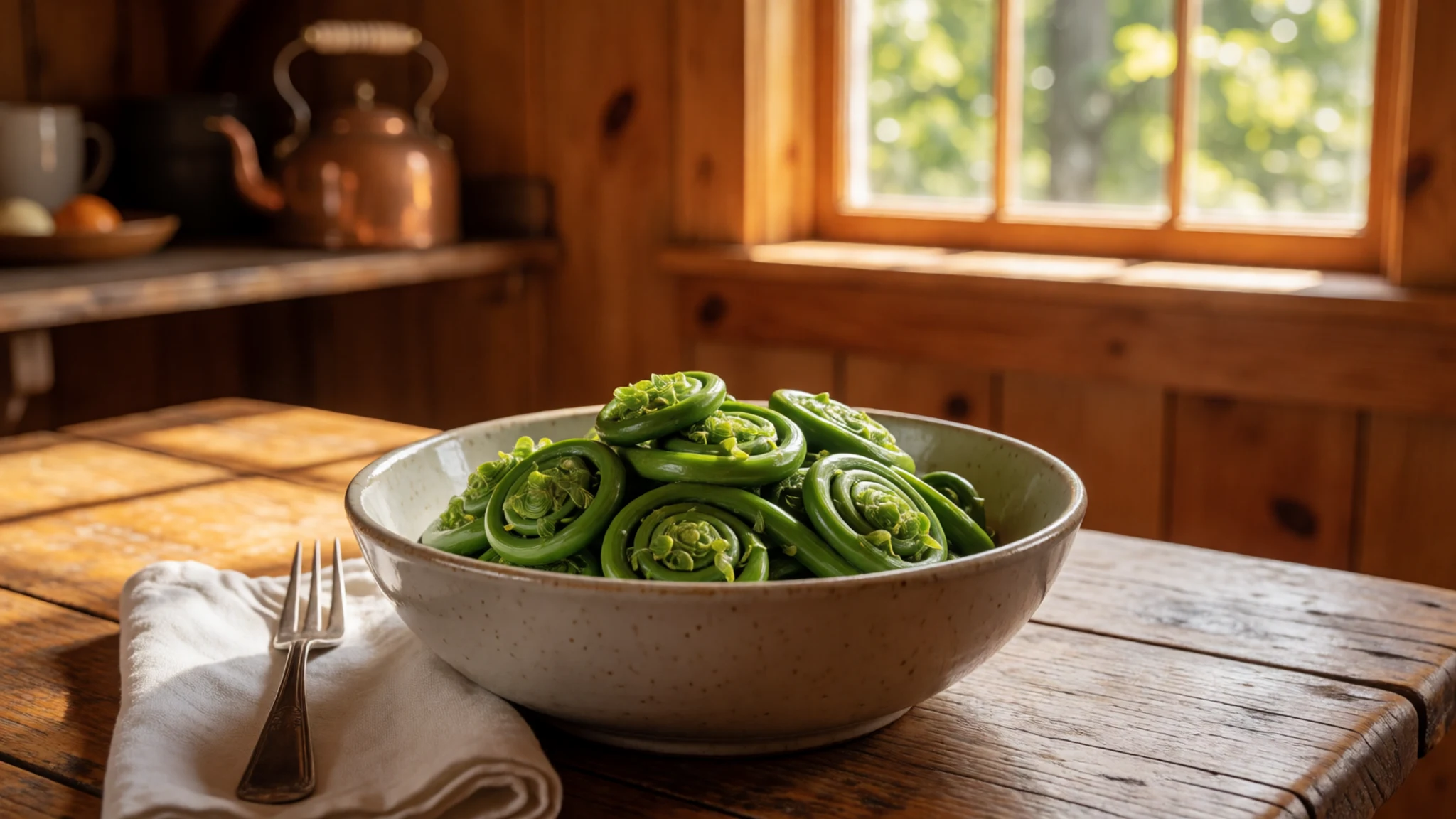
- Poutine rapée — Family kitchens and small eateries along the Acadian coast, often at community suppers
Poutine rapée is a boiled potato dumpling with a pork filling and a traditional dish of the Acadian coast. Grated potato is wrapped around the meat and cooked until firm, and it is served hot. It is dense and filling, a dish to eat slowly.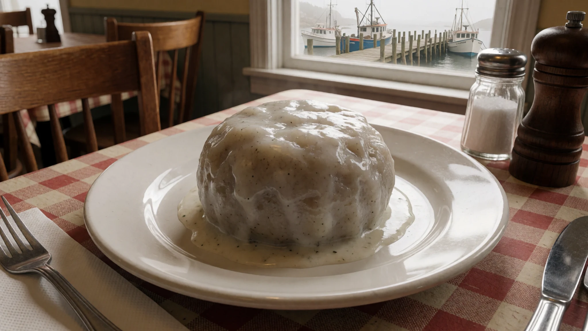
- Harbour seafood — A harbour eatery in Saint John, Moncton or a fishing village near the bay
Fresh seafood is the default across the coast, from lobster and scallops to smoked fish and fried haddock. Harbour eateries grill or fry what the boats brought in that day, and the catch and prices vary with the season, so check the menu board. Simple plates with chips and coleslaw are common, and service is relaxed. - Moosehead and microbreweries — Taprooms and brewery counters in Saint John, Moncton and Fredericton
Moosehead is the best-known local beer, brewed in Saint John and sold across the country. The province has also developed a microbrewery scene, with small taprooms in Moncton, Fredericton and Saint John. The legal drinking age is 19, so carry photo ID. - Grape and rhubarb wine — The winery on Magnetic Hill, Moncton
A winery on Magnetic Hill in Moncton makes grape and rhubarb wines. Rhubarb is a familiar garden crop in the Maritimes, and its tart wine tastes quite different from the grape bottles. A tasting before buying is the easiest way to choose, and the visit suits an afternoon rather than a main event.
Plan it
Best time. Late June to September brings the mildest weather and the easiest access to the mudflats, while cold winds and fog are more likely in spring and autumn. Tide times change daily, so check them before fixing the visit to the stacks.
How long. 2–3
Getting there. Fly into Greater Moncton Roméo LeBlanc International Airport or Saint John Airport, then drive to the park along the Trans-Canada Highway, with the last stretch running along the Bay of Fundy shore. Check the route on a map before setting out.
Budget. mid
Tips
- Check the tide tables and plan the visit around low water, since the stacks are walkable only for a limited window
- Arrive early in summer, when car parks and walkways fill up
- Wear boots with good grip and pack a spare pair of socks for the mud
- Carry some cash for small kiosks and check whether cards are accepted
- Bring water and a windproof layer for the shore
Etiquette
- Follow staff directions and closures, especially near the Elephant Rock collapse area
- Keep to marked paths and stay away from the cliff face
- Leave shells, stones and wildlife where they are
Nearby
Sources
- Wikidata Q1627589 (CC0)
- Wikipedia: Hopewell Rocks (rev 1377876141) (CC BY-SA 4.0)
- Wikivoyage: New Brunswick (rev 5279308) (CC BY-SA 4.0)
- Hopewell Rocks at low tide, Wladyslaw (CC BY 3.0)
- Hopewell Rocks, Flowerpot Rocks, Tango7174 (CC BY-SA 1.0)
- Hopewell Rocks, Big Cove at low tide, Tango7174 (CC BY-SA 1.0)
- Low Tide in the Bay of Fundy, Share Bear (Public domain)


