Hawaiʻi Volcanoes National Park
Hawaiʻi Volcanoes National Park, United States
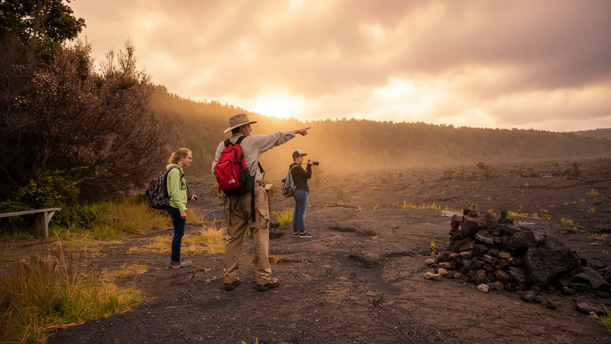
Go for the chance to stand near an active volcano, walk across cooled lava fields and see how new land is made.
The place
Hawaiʻi Volcanoes National Park occupies a stretch of the island of Hawaiʻi and takes in two active volcanoes. Kīlauea is counted among the most active volcanoes in the world, and its summit crater, Halemaʻumaʻu, can be seen glowing or sending up a plume of gas and steam, depending on the day. Mauna Loa, the other peak, is the world's largest shield volcano, a broad dome built up by repeated flows of fluid lava rather than by violent blasts.
For geologists the park is a working laboratory. Its lava fields, cones and newly formed ground show how the Hawaiian Islands have grown over time, and researchers come here to study volcanic activity at close range. For everyone else it offers a run of striking landscapes: black plains of hardened lava, steaming cracks, patches of rainforest and a lit lava tube you can walk through. Rare plants and birds are part of the picture too, though the lava fields look bare at first glance.
The park also carries a cultural layer. Kanaka Maoli, the indigenous people, regard volcanic eruptions as sacred, so the landscape is understood through that lens rather than as scenery alone. Expect to hear the goddess Pele mentioned in exhibits, talks and conversation, often with real reverence.
Its story
Hawaiʻi Volcanoes National Park has a history that begins with the volcano itself, which Hawaiians long regarded as the sacred home of the goddess Pele. Kīlauea's name is often rendered as much spreading, a nod to how often it erupts, while Mauna Loa means long mountain, referring to its great height. People climbed to the crater rim to leave offerings for the goddess, and that practice shaped how the land was approached long before outsiders arrived.
The park's human record includes hard moments. In 1790, a party of warriors, together with women and children who happened to be in the area, was caught in an unusually violent eruption. Many people died, and the marks of feet pressed into the cooling lava still survive.
Western visitors reached the crater in 1823, when the English missionary William Ellis and the American Asa Thurston made the journey. Ellis wrote of a sight that was both sublime and frightening, and his account of standing transfixed at the edge helped put the volcano on the map. By the 1840s the crater was drawing tourists, and local businessmen including Benjamin Pitman and George Lycurgus ran a string of hotels along the rim. Volcano House is one of the few hotels or restaurants that sit within the park's borders today.
The land was established as a national park in 1916. It was later recognised as an International Biosphere Reserve in 1980 and as a World Heritage Site in 1987, reflecting both its natural importance and its value to scientists studying volcanism.
What to see
- Kīlauea Visitor Centre
Your first stop for current conditions at Kīlauea. Rangers and staff keep maps and the latest word on lava flows and closures, so check here before heading to the rim. Exhibits cover how the islands formed, how life arrived by wing, wind and wave, and the ecosystems from sea level to summit. It is a sensible place to plan the rest of the day around.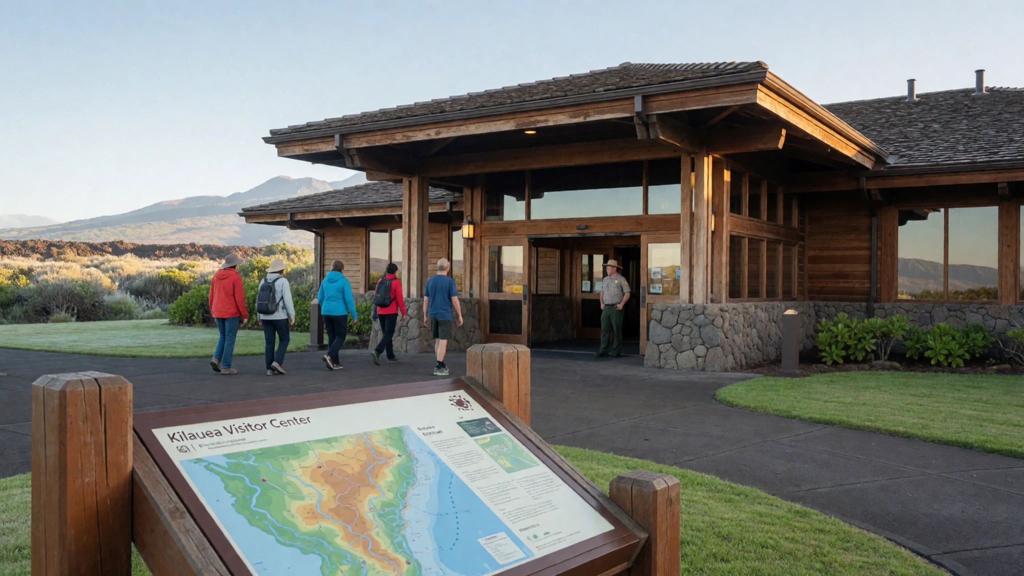
- Crater Rim Drive
A partial loop road that runs along the edge of the caldera, linking well-marked overlooks and short walks. Stop at several viewpoints to compare the steaming crater with the older lava fields nearby. Go early or late in the day, when the light is kinder and the car parks are less crowded. Sections can close as conditions change, so check the board before you set off.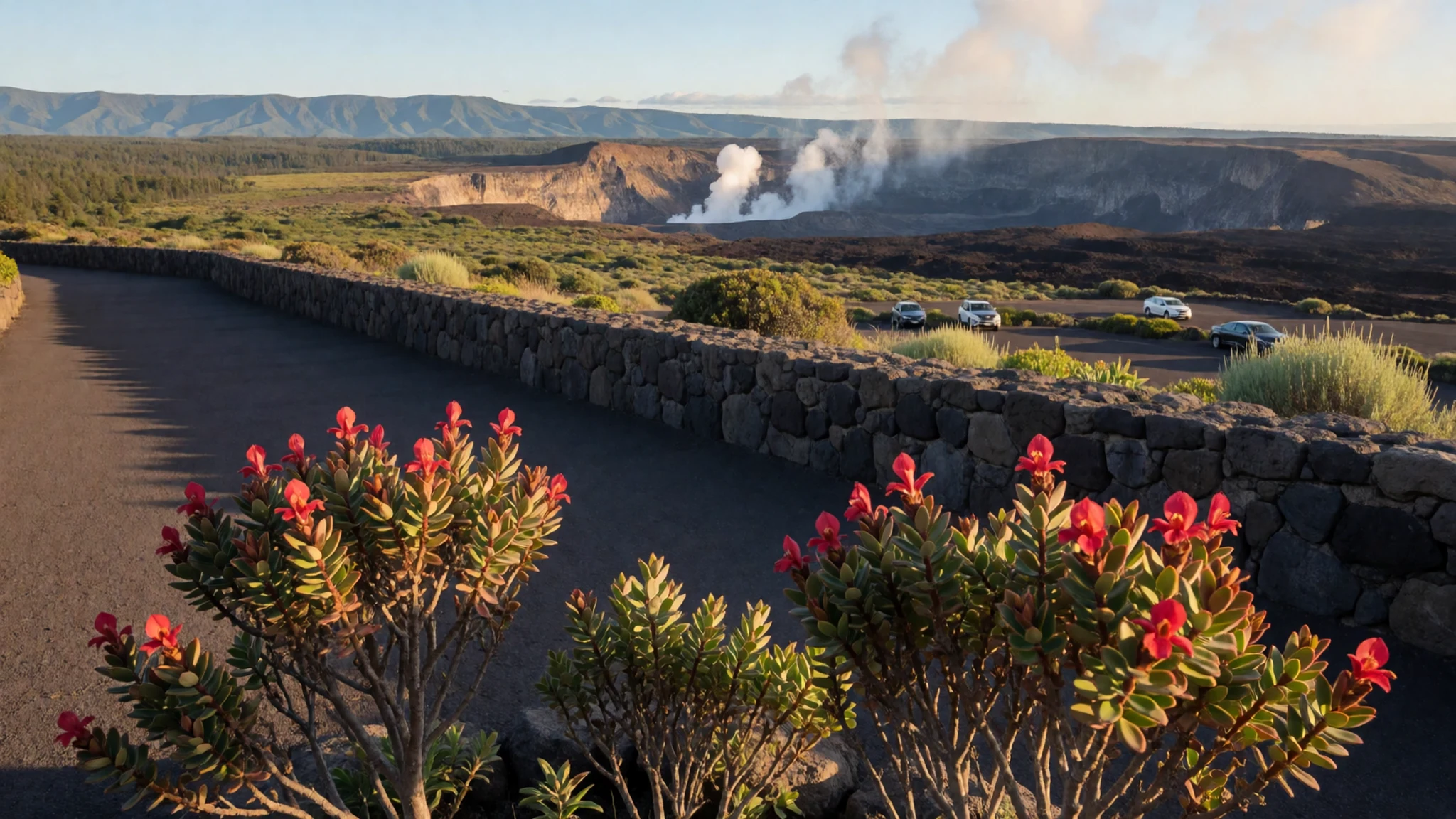
- Thurston Lava Tube
A lit walkway through a lava tube, formed when molten rock drained away and left a hollow tunnel behind. The loop path drops through rainforest into a small pit crater before reaching the tube itself. Inside, the walls and ceiling show the smooth, glossy texture of the flow. It is one of the few places where you walk through the lava rather than past it, so wear shoes with good grip.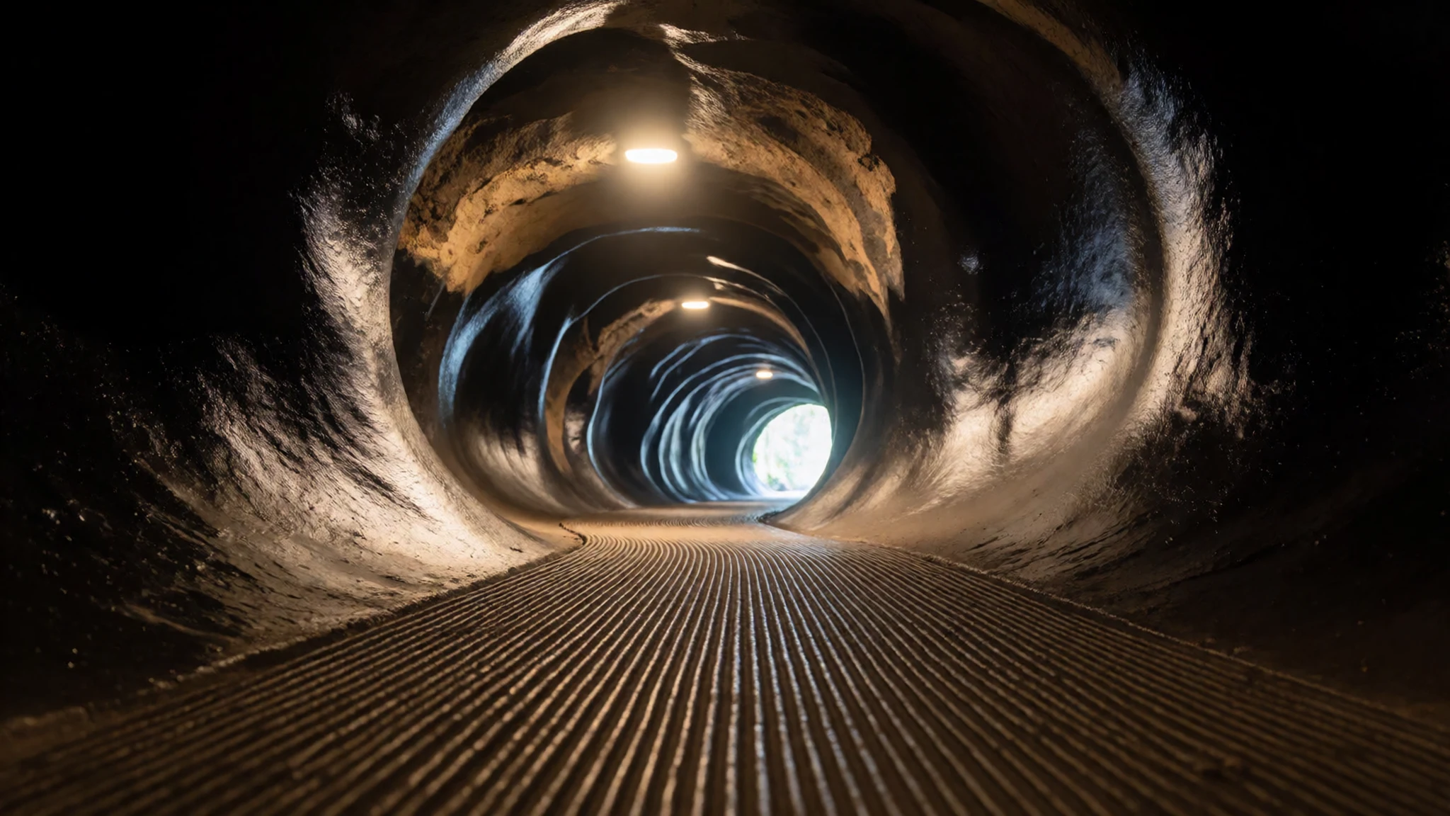
- Chain of Craters Road
A road that descends steeply from the summit toward the coast, passing a string of old craters and older lava. A more recent lava flow crossed the road near its end, a reminder that this landscape is still changing. Drive it slowly, pull in at the marked spots and watch for steam vents along the verge. Check whether the far end is open before you set out.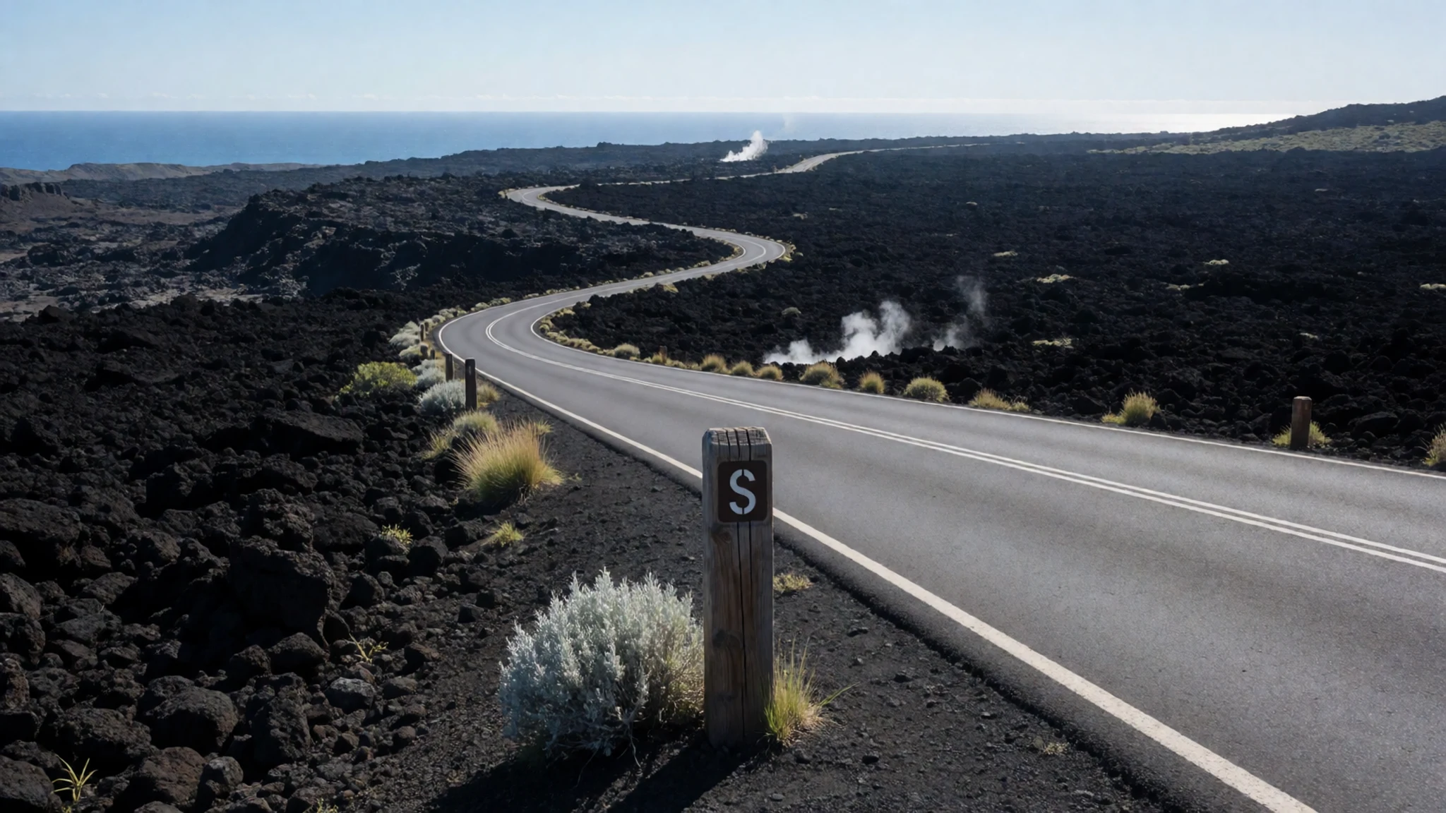
- Volcano Art Centre
A gallery housed in the historic Volcano House building, which once hosted guests on the rim. It shows local and Native Hawaiian art in several media, much of it made by island artists. Browsing costs nothing, but original pieces can be expensive, so decide on a budget before you walk in. Smaller souvenirs are available if you want something lighter to take home.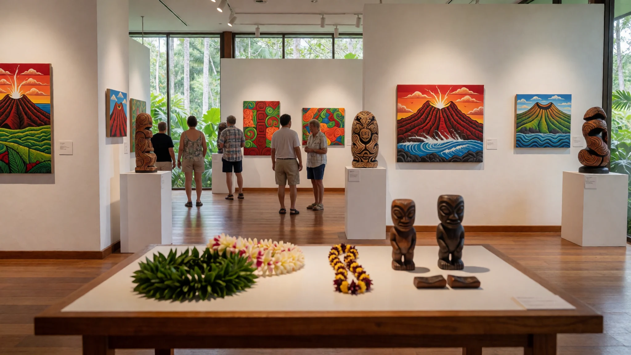
- Halemaʻumaʻu Crater overlook
The vent that makes Kīlauea famous, seen from the rim. The caldera floor drops away like a vast pit, and on active days a plume of gas can drift across the sky, sometimes carried southwest. Volcanic fumes are hazardous to health, so pay attention to wind direction and any warning signs. Stay behind the barriers, and never step past them for a better photograph.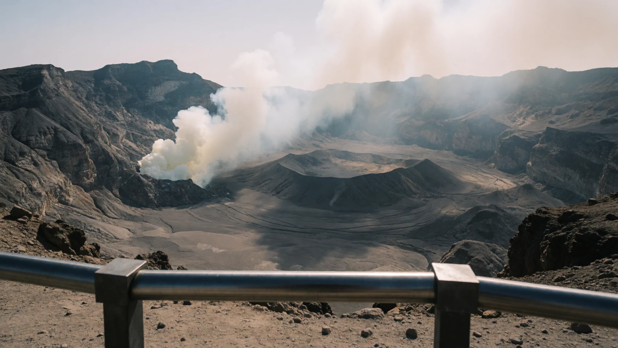
Culture
Hawaiʻi Volcanoes National Park sits on ground that the Kanaka Maoli regard as sacred, and that matters more here than at many parks. Kīlauea and its Halemaʻumaʻu crater were traditionally the home of Pele, the goddess of volcanoes, and people came to the rim to leave offerings. You will hear her name from rangers, guides and in shops, and it is worth listening closely. Many visitors also know the belief that volcanic rock taken from the islands brings misfortune, which is attributed to Pele's wrath. Whatever you make of that, removing rock, sand or plants from a national park is illegal, and many local people see taking natural items from the islands as disrespectful for religious, moral and environmental reasons alike. Stay on marked trails, where thin lava crust and hidden cracks can be dangerous, and keep well back from steam vents. Please leave every stone exactly where you found it, even the small and pretty ones.
What to wear
Traditional dress in Hawaiʻi came from the materials of the land and sea. Kapa, a bark cloth made by beating the inner bark of the wauke plant, was used for wraps and garments and was often decorated with stamped or painted patterns. Lauhala, woven from pandanus leaves, made mats, hats and bags. Feather work was reserved for especially important people: cloaks, capes and helmets were built from thousands of tiny feathers, and they signalled rank. Few of these are worn day to day now, but they remain central to cultural revival and are shown in museums and galleries.
Today people on the island dress much as they would anywhere warm: shorts, T-shirts and sun hats are common, and the aloha shirt, a loose printed shirt, is worn for work, celebration and everyday wear alike. The muʻumuʻu, a long loose dress, is also popular.
For your visit, pack for changeable conditions. The lava terrain is rough and sharp, so sturdy closed shoes and long trousers protect your legs and feet on the trails. Carry a light fleece or jacket for the cool, damp air near the summit, where mornings and evenings can feel chilly even when the coast is hot. A hat and sunscreen help on the open rim roads, and a light scarf is useful against the fumes when the wind turns.
What to eat
- Poke — Fish counters and markets in Hilo and along the Kona coast
Cubes of raw fish, usually tuna, dressed with soy, sesame and seaweed. It is the classic island snack, bought by weight from fish counters and small markets. Look for it in the fresh fish cases of a supermarket or a market in Hilo, where it is often sold ready to take away.
- Loco moco — Diners and lunch counters in Volcano Village
A plate of rice, a hamburger patty, a fried egg and rich brown gravy. It is hearty, cheap and built for a long day of walking. Lunch counters and diners in Volcano Village, just north of the park, serve it at most hours of the day.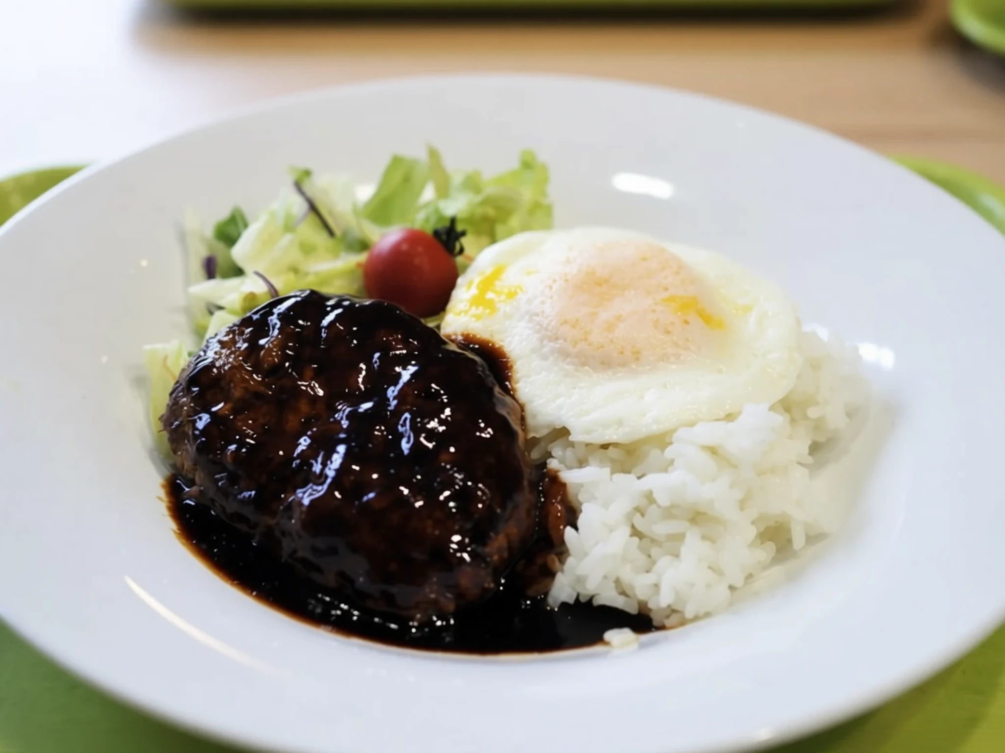
- Plate lunch — Cafeterias and plate-lunch counters, including the cafe at Kilauea Military Camp
A generous plate of rice, macaroni salad and a main such as teriyaki chicken or fried fish. It reflects the island's mixed heritage and is among the cheapest proper meals you will find. The cafeteria at Kilauea Military Camp is known for ample portions and is a good option away from the busier tourist eateries.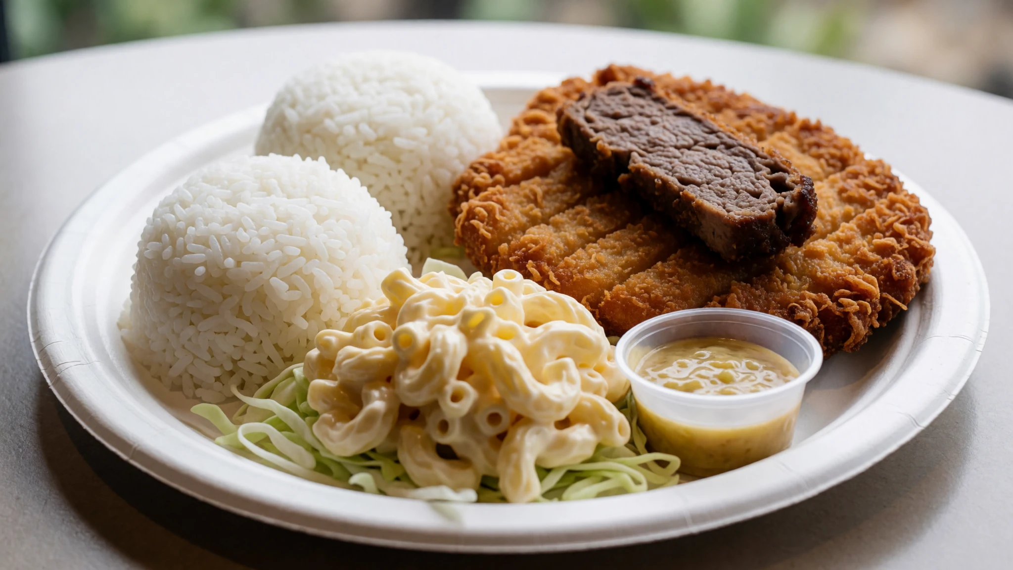
- Shave ice — Roadside stands and small shops in Volcano Village
Finely shaved ice drenched in fruit syrup, sometimes with a scoop of ice cream or a dollop of condensed milk underneath. It is the perfect cooldown after the sun on the lava fields. Roadside stands and small shops in Volcano Village are the easiest places to find it, and many are cash friendly. - A sit-down meal on the caldera rim — The restaurant at Volcano House, on the rim inside the park
The restaurant at Volcano House serves a fuller meal with a view across the caldera, and it is one of the few restaurants inside the park. Go for a late lunch or an early dinner when the crowds thin out. It is a good choice for a slower meal after a morning of walking the rim.
Plan it
Best time. The drier stretch from May to August, with the least rain, is the most comfortable time to visit, while March and April are the wettest months. Rain falls at most times of year, especially in the rainforest areas, so pack for damp weather whatever the month. Mornings are often clearer than afternoons, when cloud can roll over the summit.
How long. 2–3
Getting there. Fly into Hilo International or Kona International on the Big Island, then drive. From Hilo the park is about 30 miles southwest, roughly a 45-minute drive, while Kona is a longer run of a couple of hours. Hire a car, as public transport to the park is limited.
Budget. mid
Tips
- Start early, before the crowds reach the rim and the car parks fill
- Check the visitor centre for current lava activity, road closures and trail conditions before you set out
- Fill up with fuel and water before the drive, as services inside the park are thin
- Carry a light layer for the cool, damp summit, even on a sunny coastal day
- Carry some cash in case a roadside stand does not take cards
Etiquette
- Stay on marked trails and behind barriers, especially near vents and cracks
- Leave rock, sand and plants where they lie, as removing them is illegal
- Keep a respectful distance from the crater and listen to what rangers and local people say about it
Nearby
Sources
- Wikidata Q205952 (CC0)
- Wikipedia, Hawaiʻi Volcanoes National Park (rev 1380111200) (CC BY-SA 4.0)
- Wikivoyage, Hawaii Volcanoes National Park (rev 5383943) (CC BY-SA 4.0)
- Photo: Lava streaming into ocean, Jos-uit-boston (CC BY 3.0)
- Photo: Pāhoehoe and ʻAʻā flows, Brocken Inaglory (CC BY-SA 2.0)
- Photo: Puʻu ʻŌʻō, G.E. Ulrich, USGS, cropped by Hike395 (Public domain)
- Photo: Halemaʻumaʻu plume, Hawaii Volcano Observatory, USGS (Public domain)
- Photo: Volcano Art Centre, W Nowicki (CC BY 3.0)
- Photo: Thurston lava tube, Dave Bunnell (CC BY-SA 4.0)
- Photo: Buffalo Soldiers Trail corridor map, NPS (Public domain)
- Photo: Pele by D. Howard Hitchcock (Public domain)


