Guatemala City
Guatemala City, Guatemala
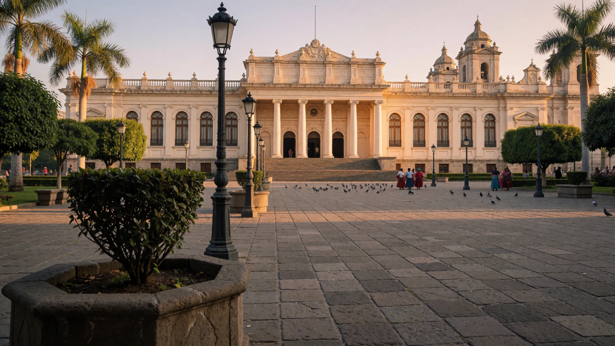
Guatemala City is the capital of a country most people only pass through, and a day or two here repays the stop with Maya mounds, colonial plazas and good food.
The place
Guatemala City, known to locals as Guate, sits in a high mountain basin in the south of Guatemala, at about 1,500 metres above sea level. That altitude shapes everything. Days are mild, nights are cool, and the air feels closer to spring than to the tropics, even though the climate is formally tropical savannah. The city proper has just under a million people, and it is both the national capital and the country's largest city, with a far bigger urban spread running into the surrounding department. The basin is called the Valle de la Ermita, the Hermitage Valley, and deep ravines cut through it, so neighbourhoods are often separated by gullies and joined by long bridges. The city is divided into numbered districts called zonas. The historic centre around the Plaza de la Constitución holds the cathedral and the National Palace, while the southern districts hold glass towers, malls, galleries and most of the restaurants that visitors end up in. Further out are Cayalá, a planned district built in a traditional style, a zoo, a botanical garden and the excavated mounds of a Maya city that now sit inside a public park. Traffic is heavy, the city is a gateway rather than a resort, and many travellers hurry on to Antigua, Lake Atitlán or Tikal. Staying a little longer shows the working capital that the postcards skip, with its museums, markets and a mix of Maya, Spanish and modern Guatemalan life.
Its story
Guatemala City stands on ground that people used long before the Spanish arrived. Here the Maya built Kaminaljuyu, a ceremonial and trading centre whose wealth rested on obsidian, the volcanic glass prized across Mesoamerica for blades and mirrors. It grew into the largest Maya settlement outside the lowlands of the Yucatán, then declined over several centuries, probably through a mix of drought, political strain, failing farmland and a shrinking lake. Its mounds survive today as a park inside the modern city. In the early colonial period the site held little more than a small town and a monastery called El Carmen. The turning point came in 1773, when a series of earthquakes wrecked Antigua Guatemala, the colonial capital, which had already been shaken in earlier decades. The Spanish authorities decided to move the seat of government to safer ground, and the new city in the Hermitage Valley became the third capital of the Captaincy General of Guatemala. In September 1821 the Act of Independence of Central America was proclaimed here, ending Spanish rule across the region. Independence is still marked every September with school parades, drumming and flags. For some decades afterwards the city served as capital of the federation of Central American provinces. Earthquakes have remained part of its story, and they explain why much of the older centre is low-rise and why the newer districts rely on modern engineering.
What to see
- National Palace of Culture — Historic centre
Guatemala City's former presidential palace is the symbol of the historic centre. Guided visits take in interior courtyards, official reception rooms, murals and decorative art. Visiting arrangements change, so check the official site before going. Photographs of the façade look best in the morning light across the plaza.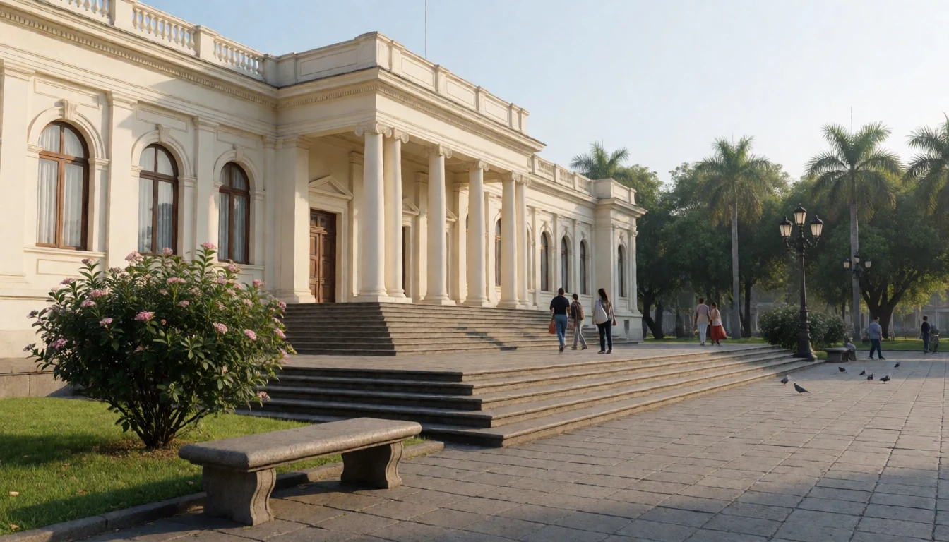
- Plaza de la Constitución — Historic centre
Guatemala City's main square, also called Parque Central, is the civic heart of the capital. Families, vendors, pigeons and protesters share it, and it fills for national celebrations. It is a fine place to orient yourself, with the palace on one side and the cathedral on another. Keep belongings close in the crowds.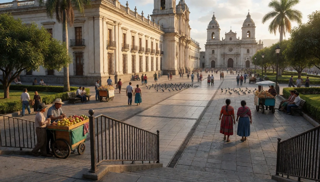
- Metropolitan Cathedral — Historic centre
The cathedral of Guatemala City faces the main square and dates from the colonial capital's early decades. Its pale façade and twin towers are a calm contrast to the traffic outside. Inside are side chapels and altars with carved wood and gilding. Visitors are welcome outside services, but this is a working church.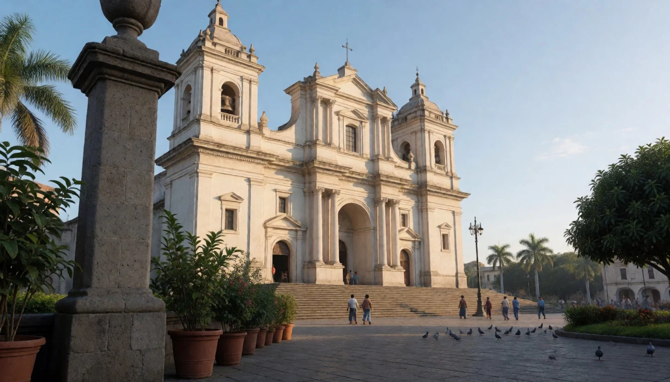
- Kaminaljuyu Archaeological Park — Western districts
Guatemala City has a Maya city inside its limits. Kaminaljuyu is mostly grassy mounds rather than tall stone temples, so it rewards patience and a guide or good signage more than a quick look. Excavated areas show how large and organised the settlement once was. Bring sun protection and water.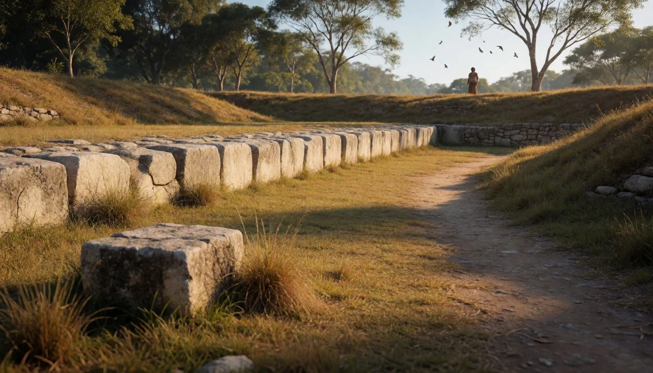
- Mapa en Relieve — Northern districts
Guatemala City keeps a huge relief map of the whole country in a park in the north of the city. The scale is so big that an observation tower is needed to read it. It is a quick, quirky way to grasp how steep and volcanic Guatemala is before travelling on.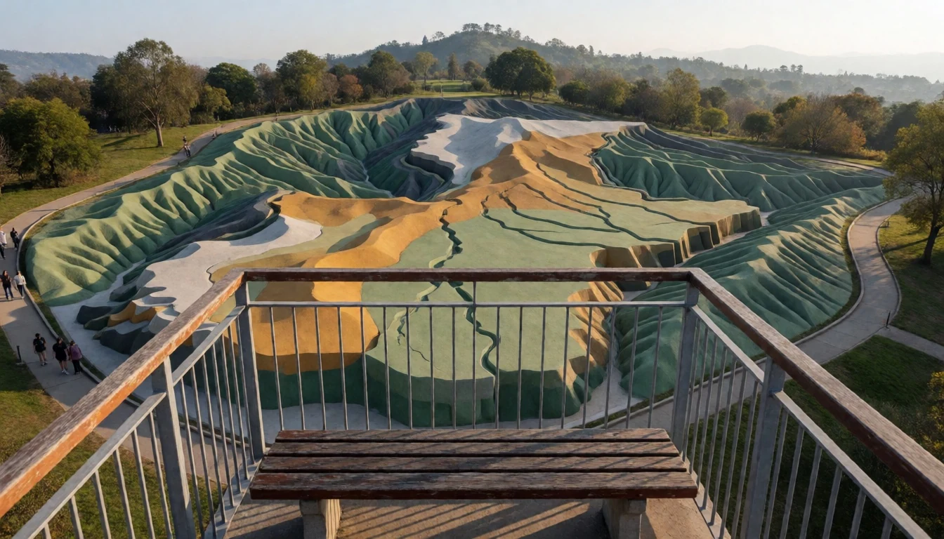
- Botanical Garden and La Aurora Zoo — Southern districts
Guatemala City has a botanical garden, attached to a natural history museum, with native and imported plants in a well-kept setting. Nearby, La Aurora Zoo is a gentler outing for families, and songbirds gather in its trees. Both suit a slow half-day when the historic centre feels tiring.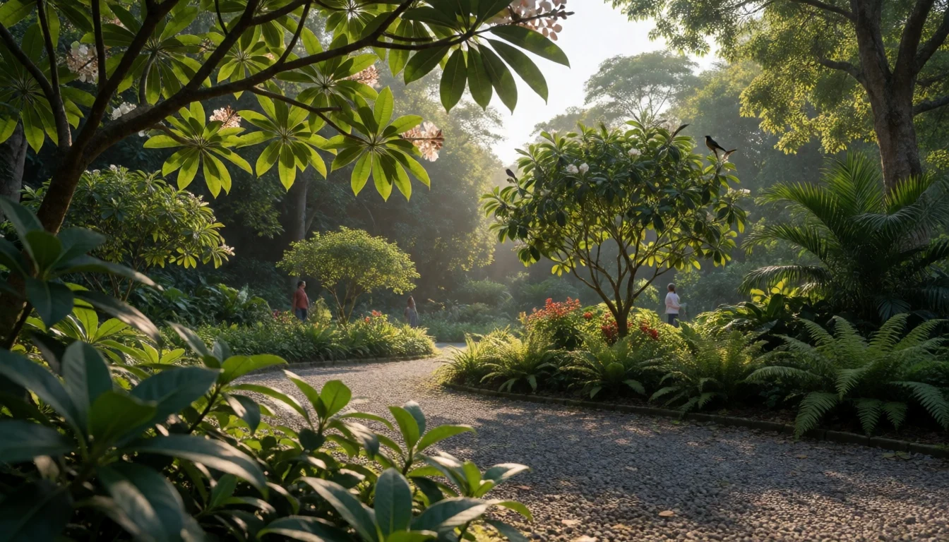
Culture
Guatemala City is where the country's many cultures meet in one place. Spanish is the common language, but Maya languages are heard in markets and bus stations, brought by people from the highlands who come to work, sell or study. Catholic churches and evangelical congregations both shape weekends, and the sound of hymns and sermons spills from many streets. Football is followed with passion, and the marimba, a wooden xylophone-like instrument, is often described as the national sound, played at fiestas and in restaurants. The capital also holds the country's main museums of archaeology and ethnology, a good way to meet the Maya past that sits under the modern streets. Independence is the biggest civic occasion, marked in mid-September with school bands, flags and torch-lit processions, and the historic centre is closed to traffic for much of it. Daily life is more formal than many visitors expect: people greet each other with a handshake or a polite buenos días before asking for anything, and a little Spanish goes a long way. Class differences are visible, with gated suburbs and malls in the south and crowded informal neighbourhoods in the ravines. Locals are generally warm and curious, but the city rewards listening more than debating politics. Ask permission before photographing people, especially Maya women and children in markets, and keep your voice low and your hat off inside a church.
What to wear
Traditional Maya dress is the most distinctive clothing in Guatemala City's streets, though it is a highland tradition brought into the capital rather than a local one. Women wear the huipil, a woven blouse, with a corte, a wrapped skirt, held by a faja, a long sash. Cloth is usually cotton, woven on a backstrap loom or a foot loom, and the colours and embroidered patterns signal the village or language group of the wearer. A tzute, a square carrying cloth, may be used as a head covering or shawl. Men's traditional dress survives in fewer places, and mostly in rural communities. It is worn daily by many highland women, and by almost everyone at festivals and weddings. Day to day, most people in the capital dress as in any Latin American city: jeans, trainers, football shirts and school uniforms, with smart casual in offices and fashionable evening wear in the southern districts. Visitors should dress for a mild, changeable climate. Wear light layers, as mornings and nights can be cool and midday sun is strong at this altitude, and carry a light rain jacket from May to October. Comfortable closed shoes suit uneven pavements and cobbles. Inside churches, cover shoulders and avoid very short shorts. Flashy jewellery, expensive watches and visible phones draw unwanted attention, so keep them modest.
What to eat
- Pepián — Traditional comedores and family restaurants in the historic centre
A thick, spiced stew of meat, often chicken, built on roasted seeds, chillies and tomato, and served with rice and tortillas. It is regarded as a national dish and is a good first order in a traditional Guatemalan restaurant.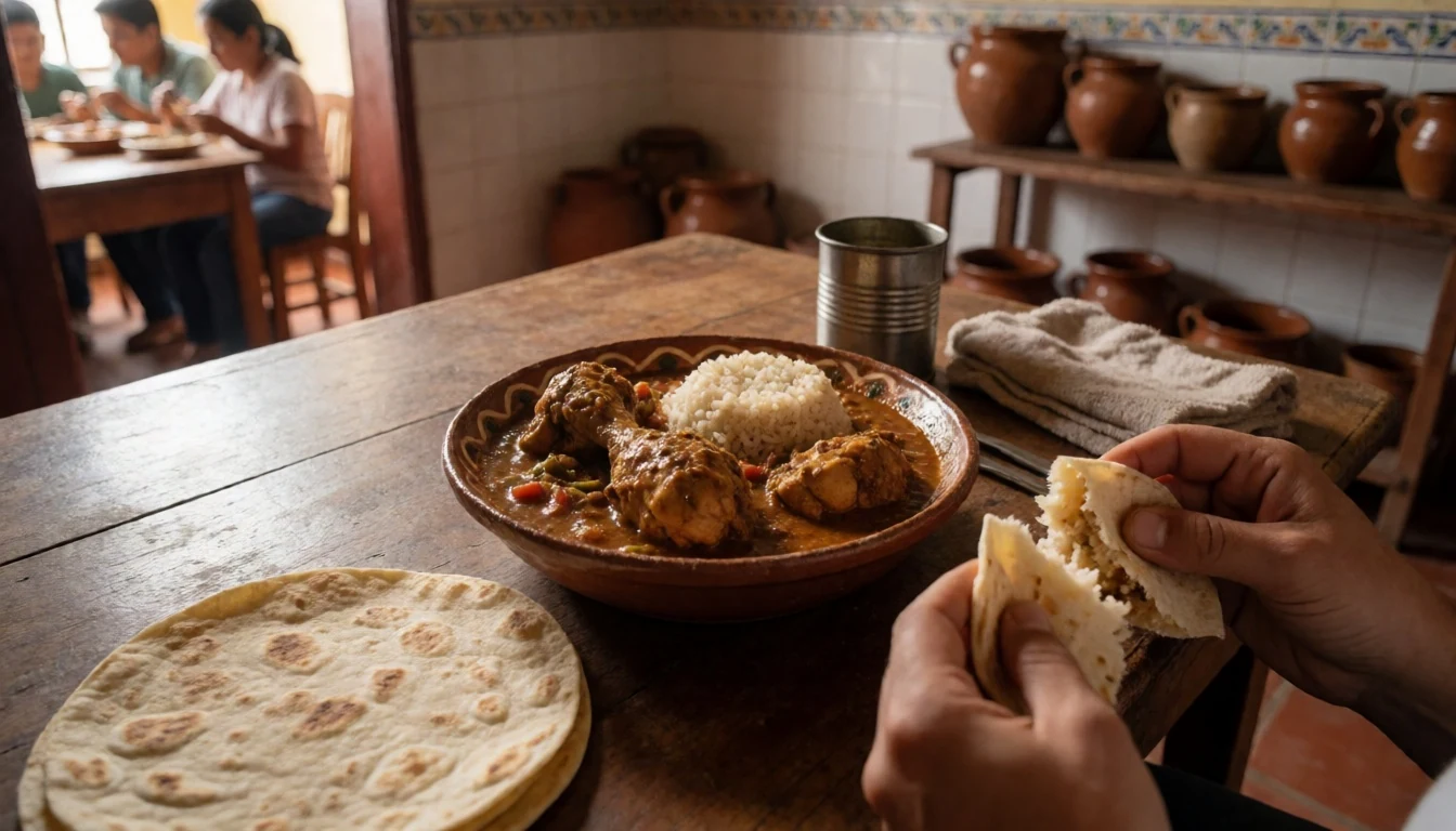
- Tamales — Morning stalls and the central market area
Maize dough steamed in leaves with a filling of meat, sauce or sweet ingredients. Guatemalan tamales differ by region and season, and they are a common Saturday and festival meal. Look for them wrapped in banana or plantain leaf.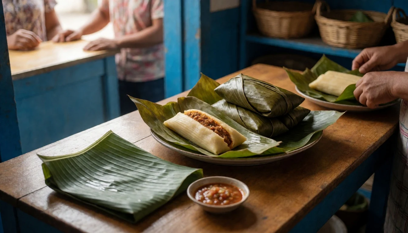
- Chuchitos — Street vendors near plazas and bus stops
Small, firm tamales of maize dough around a piece of meat and a mild tomato sauce, eaten from the husk with salsa. They are filling, cheap street food and travel well in a pocket. - Steak and grill plates — Restaurants in the southern districts
Beef is grilled in the Argentine style at several restaurants in the southern business districts, often with beans, tortillas, guacamole and chorizo as starters. This is the city's dressed-up evening meal, and reservations help on weekends. - Pollo Campero — Branches across the city, including malls and the airport
Guatemala's best-known fried chicken chain is a local favourite, with queues at the airport and in malls. It is not refined cooking, but it tells you something about Guatemalan taste, and the sides are a decent quick lunch.
Plan it
Best time. November to April is the dry season, with mild days and cool nights, though March is the hottest month. May to October brings rain, often in the afternoon, and overlaps with the Atlantic hurricane season, when tropical storms can still bring torrential rain and mudslides to the highlands. Temperatures are moderate for much of the year, but March to May can be hot, with afternoon highs near 35 °C.
How long. 2–3
Getting there. Fly into La Aurora International Airport, which has regular connections from North America, Mexico and Central America and fewer from Spain; the city centre is a short taxi or ride-hailing trip away. Domestic flights run to Flores, near Tikal. Buses link the capital with Antigua and other towns.
Budget. mid
Tips
- Use registered taxis or a ride-hailing app rather than hailing cars on the street, especially after dark
- Plan around heavy traffic, and leave extra time to reach the airport or a bus
- Carry a light jacket for cool evenings and an umbrella in the rainy season
- Keep phones and cash discreet in the historic centre, and carry a small amount of cash for markets and street food
- Drink bottled or filtered water and take it easy on the first day at altitude
Etiquette
- Greet people with buenos días or buenas tardes before asking a question
- Ask before photographing people, particularly in markets
- Dress modestly and stay quiet inside churches
Nearby
Sources
- Wikidata Q1555 (CC0)
- Wikipedia: Guatemala City (rev 1384912724) (CC BY-SA 4.0)
- Wikivoyage: Guatemala City (rev 5403336) (CC BY-SA 4.0)
- Buildings in Guatemala City — BladimiroAlvarado (CC BY-SA 4.0)
- Zona 14, Ciudad de Guatemala — Rene Hernandez (CC BY-SA 2.0)
- Guatemala National Palace (reflection) — Gobierno de Guatemala (CC0 1.0)
- Plaza de la Constitución (Guatemala City) — Gobierno de Guatemala (Public domain)
- Correos Building - Post Office Palace in Guatemala City — George Revline (CC BY-SA 2.0)
- Torre del Reformador de Guatemala — Fabriccio Díaz (CC0 1.0)
- Plaza España, Ciudad de Guatemala — Jose Hernandez (CC BY-SA 2.0)
- Cerrito del Carmen en 1900 — Unknown author (Public domain)


