Guadarrama National Park
Guadarrama National Park, Spain
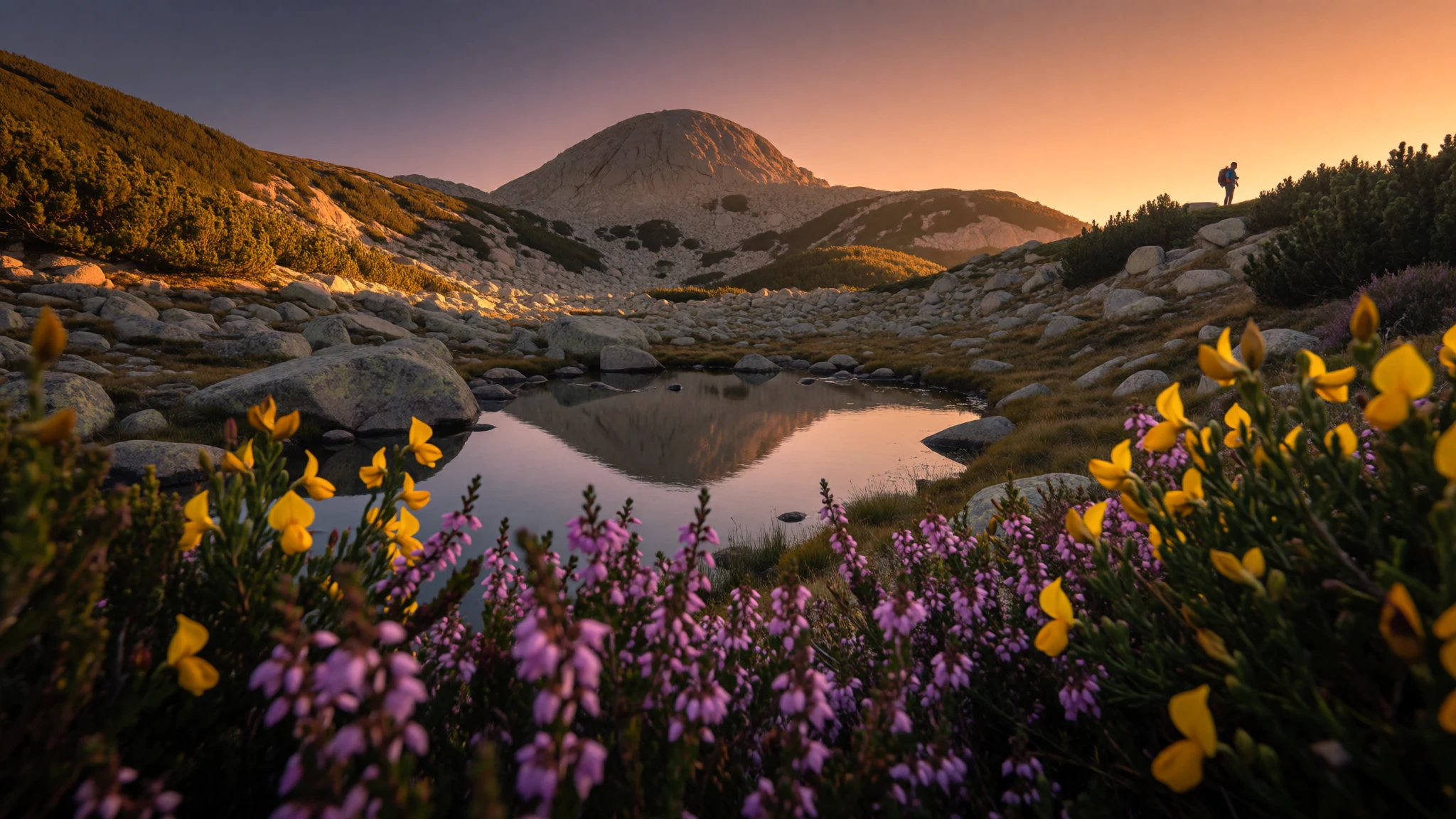
Guadarrama National Park puts granite peaks, pine forest and glacial lakes a short train ride from Madrid, made for day walks.
The place
Guadarrama National Park runs along the Sistema Central, the mountain chain that splits the high plateau of central Spain into a northern and a southern half. Its closeness to Madrid is the first thing to understand: the capital's suburbs sit within sight of the southern slopes, and on a clear winter day the snowy ridge is visible from city rooftops. The park was established in 2013 and spans two regions. The Community of Madrid holds the southern side, while Castile and León holds the north, with the provinces of Segovia and Ávila sharing the crest. The landscape is built mostly of granite and gneiss. Summits are rounded rather than jagged, with boulder fields, scree and glacial hollows known as circos, some of which hold small lakes. Lower down, long Scots pine forests clothe the flanks, especially around Valsaín and the Fuenfría valley. Higher up, the trees give way to broom, juniper scrub and short mountain grass. Streams cut pools and potholes into the bedrock, and the wetlands around Peñalara matter particularly for amphibians. Weather is a real factor. Summers are dry and bright, winters bring snow and hard frost to the heights, and wind on the ridges can be fierce even when the valley is calm. Villages such as Cercedilla and Cotos act as bases, with visitor centres, marked paths and a train line that brings walkers up from the city. The park suits day walks far better than long expeditions, and weekends can be busy near the main car parks.
Its story
Guadarrama National Park took nearly a century to exist on paper. In the 1920s the Peñalara mountaineering society, a club of Madrid hikers who treated the sierra as their weekend home, proposed that the range be protected as a national park. The idea stalled for decades. Meanwhile, patches of the mountains received lesser forms of protection. El Escorial and its surroundings became a World Heritage Site in 1984. The Peñalara Natural Park followed in 1990, and its wetlands were later recognised under the Ramsar convention in 2006. The upper Manzanares basin became a regional park in the 1980s and a biosphere reserve in 1992. The Community of Madrid revived the national-park idea at the start of the 21st century, and a management plan for its share was approved in late 2006. Then came the hard part. Castile and León was slower to agree. Its government worried about rural depopulation and about restricting local livelihoods, particularly commercial forestry, which national parks forbid, and for a time the project looked shelved. Eventually the regions reached terms, and the law creating the park was published in June 2013. The result is a patchwork inheritance: older reserves folded into one larger designation, with the original climbers' campaign still part of its identity. The story shows how protection here was negotiated between city and countryside rather than imposed from above, and how hikers, scientists and politicians all had a hand.
What to see
- Peñalara and its glacial circus — Cotos pass, Community of Madrid
Peñalara is the summit most tied to the park's story, since the climbing society that campaigned for protection took its name from it. The usual route leaves the Cotos pass and climbs through pine and scrub to a glacial circus holding a small lake. In winter the path can be snowy and icy, so check conditions first.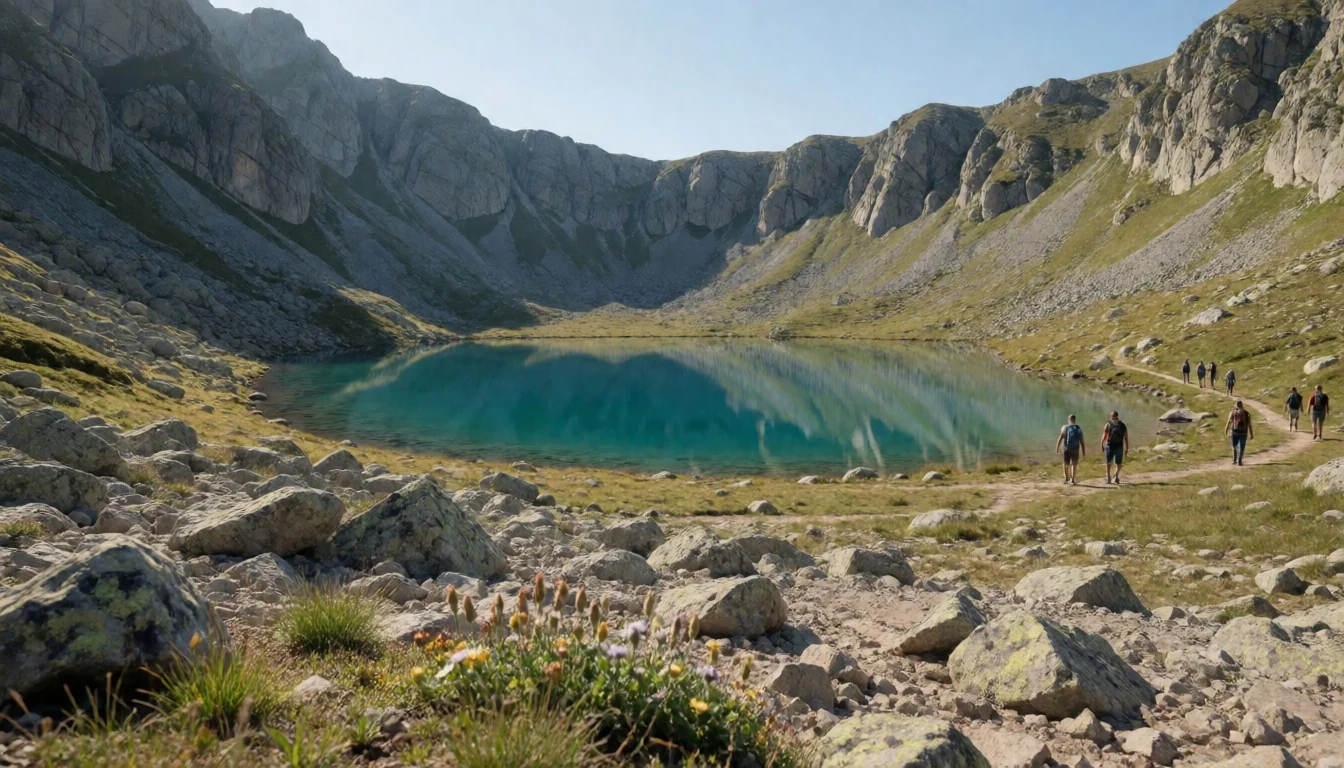
- Valsaín pine forest — Segovia side of the range
The Valsaín forest, on the Segovia side, is a broad stretch of Scots pine that shows the park in a quieter mood. Wide forest tracks suit slow walking and cycling, and the canopy gives shade when open ridges are baking. Early mornings give the best chance of seeing deer or woodpeckers.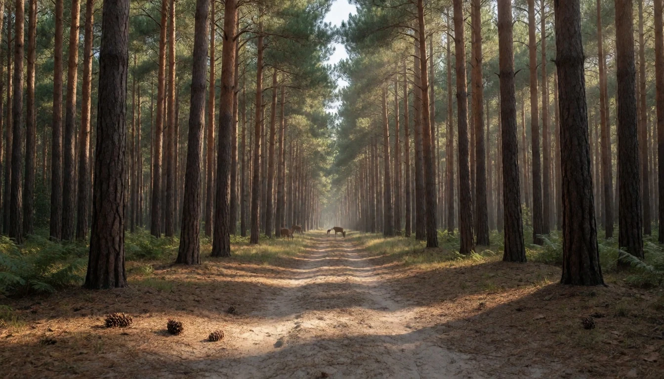
- Calderas del río Cambrones — Cambrones valley, Segovia
The Cambrones river has worn round potholes, called calderas, into its granite bed, and they fill with clear, cold water. Walkers come in warm weather to look and cool their feet. The rock is slippery and the pools are deeper than they appear, so caution comes first.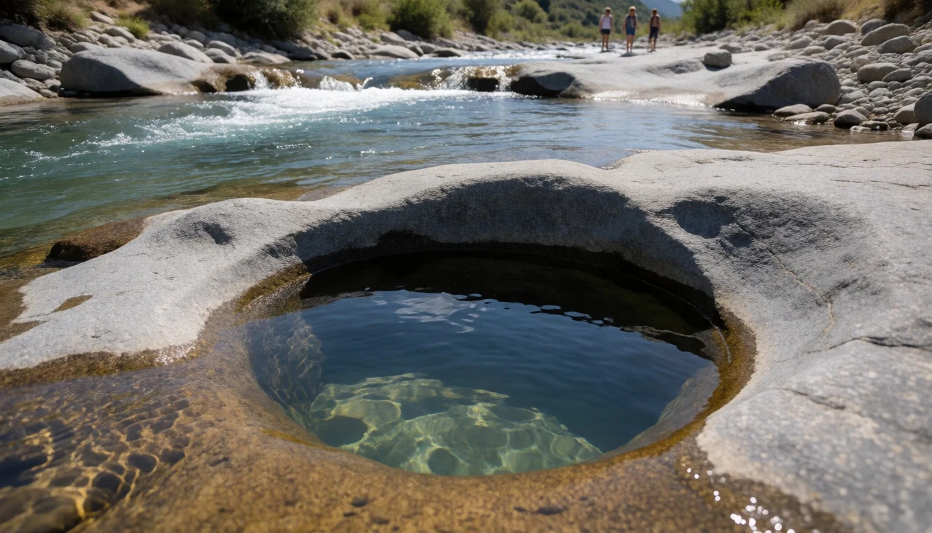
- Fuenfría valley and Cercedilla — Cercedilla, Community of Madrid
The Fuenfría valley above Cercedilla is a convenient way into the park without a car, since a commuter train from Madrid stops in the village. The visitor centre explains routes and conditions, and marked paths climb through pine along an old paved road often called Roman. Staff can advise on closures in snow or high fire risk.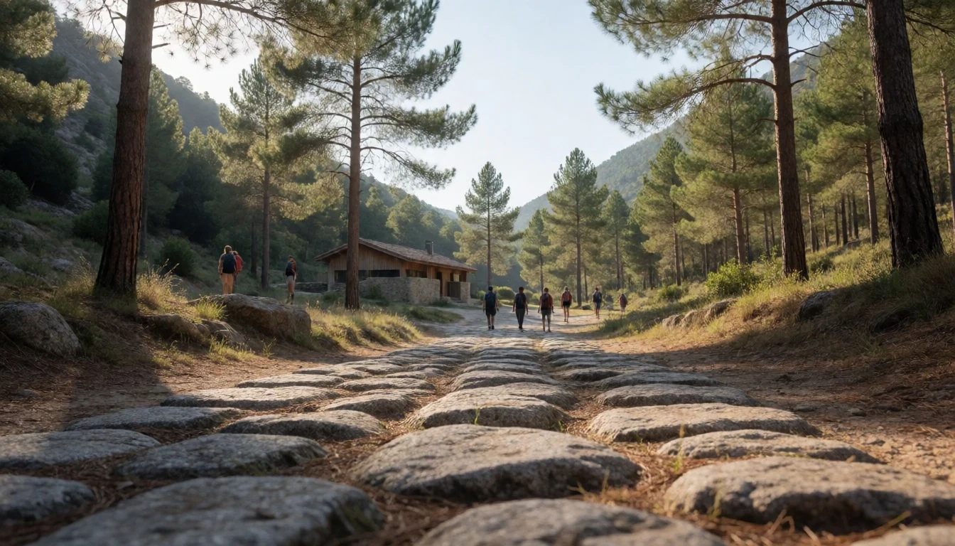
- El Escorial — San Lorenzo de El Escorial
El Escorial is a monastery and royal palace built for Philip II on the lower slopes of the range, just outside the park. The royal rooms are plain for a king who ruled a far-flung empire, and the complex also holds the royal burial vault. Commuter trains reach the town, then a bus or an uphill walk finishes the trip.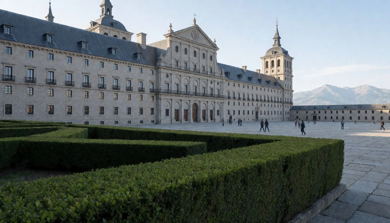
- Valle de los Caídos — Near El Escorial
Valle de los Caídos is a vast memorial that political prisoners were forced to build under Franco. Officially it honours the dead of the Civil War, yet its design celebrates one side. A very tall cross rises from the rock, and the basilica is tunnelled into the stone below. Public transport stops well short of the entrance, so check access before going.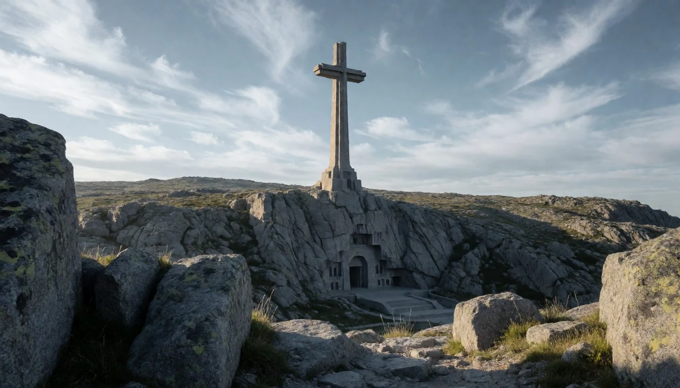
Culture
Guadarrama National Park belongs to Madrid's weekend life in a way few protected areas belong to any capital. Generations of madrileños have walked, skied and picnicked here, and the sierra recurs in painting, poetry and school-trip memories. The Peñalara society, formed by hiking enthusiasts, set a tone of organised, well-read mountaineering that still shapes club outings and refuge habits. A popular trail on a Sunday is sociable: families, retirees with poles, runners and cyclists share the path, and a quick "hola" or "buenos días" is routine. On the northern side the mood turns more rural, with Segovian and Ávila villages whose living came from grazing, timber and stone. Those traditions remain debated, since forestry and pasture sit uneasily with strict conservation rules. Lunch is late and long, and mountain inns fill by mid-afternoon at weekends. Heritage lies close by, from the austere royal monastery at El Escorial to the contested memorial in a nearby valley, reminders that these hills were political ground as well as scenery. Most people treat the park as a quiet reprieve from the city, so voices and speakers carry further than expected. Greet walkers you pass, keep to marked paths and take every scrap of litter home.
What to wear
Guadarrama National Park sits in Castilian highland country where traditional dress was shaped by cold winters and sheep farming. Historic clothing in the Segovia and Ávila villages leaned on wool: heavy wool capes called capas, felted jackets and long skirts with embroidered aprons for women, often with lace or woven trim for feast days. Linen and cotton underlayers were common, and shawls added warmth and status. Such dress now comes out at village fiestas, folk dancing and processions, often with sashes and wide hats for men. In daily life, local people wear what any Spanish town wears: jeans, jackets, sturdy trainers. Weekend walkers lean towards technical fabrics, fleeces, bright shells and trekking poles, while Madrid day-trippers often add a scarf and a hat. Visitors should dress in layers since the weather changes quickly with altitude: a base layer, fleece, windproof shell and a hat, plus sun cream and sunglasses even in winter, when snow glare is harsh. Waterproof walking boots with good grip are worth having on granite, which turns slick when wet, and crampons or microspikes help on icy paths. Shoulders and knees need no special covering in the park, but a light scarf is handy for visiting village churches or the monastery at El Escorial.
What to eat
- Cochinillo asado — Traditional roasting houses in Segovia and its mountain villages
Cochinillo asado is suckling pig roasted in a wood-fired oven until the skin turns glassy and the meat can be cut with the edge of a plate. It is the centrepiece of celebration meals in Segovia and the villages around it.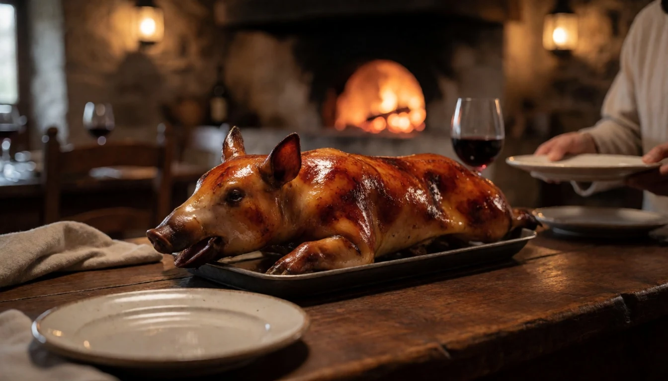
- Judiones de La Granja — Village inns around La Granja and Valsaín
Judiones de La Granja are large, buttery white beans stewed slowly with pork, often chorizo and morcilla, until the broth turns thick and rich. They are a cold-weather staple around the royal village of La Granja, and a sensible meal after a winter walk.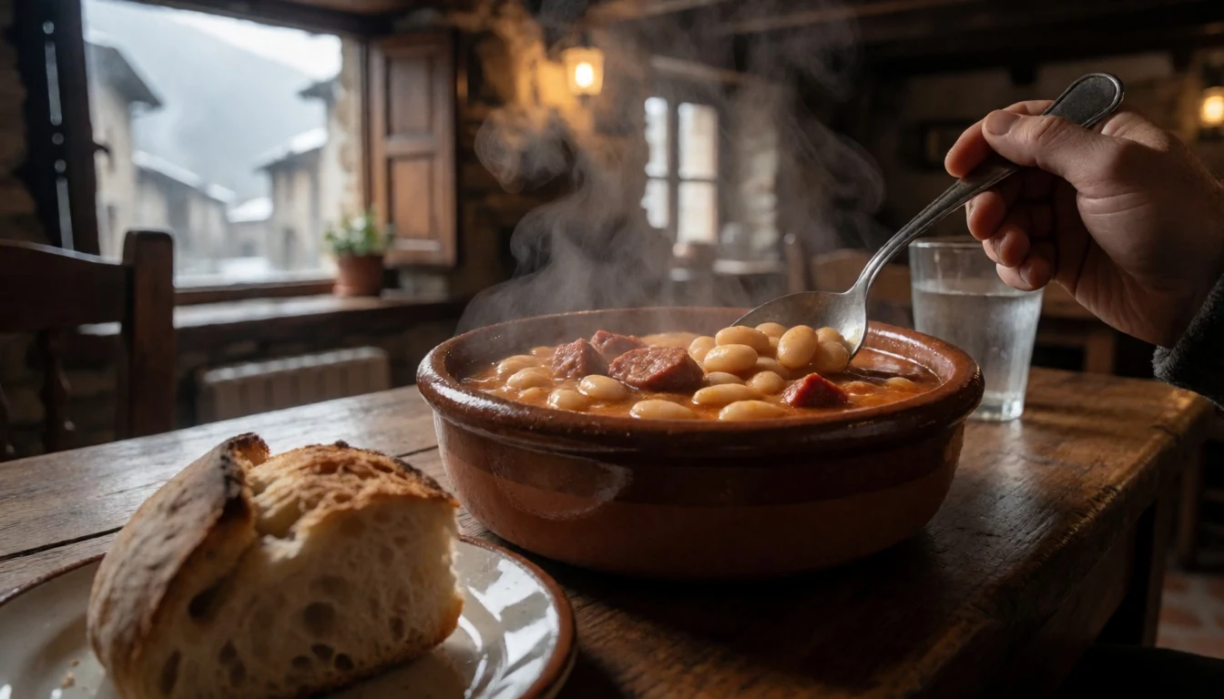
- Cocido madrileño — Mountain-town inns in Cercedilla and Navacerrada, and traditional taverns in Madrid
Cocido madrileño is Madrid's chickpea-based boiled dinner, served in stages: first the broth with noodles, then the chickpeas, vegetables and meats. It is a heavy lunch, so most diners treat it as the main event of the day rather than a trail snack. - Sopa castellana — Village bars and restaurants across the sierra
Sopa castellana is a peasant soup of garlic, paprika, stale bread and a poached egg, often finished in the oven in a clay dish. It is simple, warming and suits cold mornings at altitude. - Ponche segoviano — Pastry shops in Segovia
Ponche segoviano is a layered cake of sponge, custard and marzipan, topped with caramelised sugar marked in a lattice. It appears in Segovia's pastry shops and is easy to carry in a day pack for a summit snack.
Plan it
Best time. May–June and September–October for walking, with mild days and open trails. July and August are dry and bright, hot on the lower paths and busy at weekends. Winter brings snow and frost to the summits, good for snowshoeing but demanding underfoot.
How long. 2–3
Getting there. Fly to Madrid–Barajas Airport, then reach Atocha or Chamartín station in Madrid. From there take Cercanías commuter trains, for example up to Cercedilla, or the green regional buses to mountain towns. The last leg is a short walk or local bus to the trailhead.
Budget. low
Tips
- Check the official site (https://www.parquenacionalsierraguadarrama.es/) for trail closures, fire restrictions and any access rules before setting out.
- Start early at weekends, because the car parks near Cotos fill quickly.
- Carry water and layers, as weather changes fast with altitude and ridges are windy.
- Keep some cash for small village bars and inns.
- Do not leave valuables in parked cars, and watch pockets in Madrid's stations, as pickpockets do operate.
Etiquette
- Greet walkers you pass on the trail.
- Stay on marked paths and respect any closed areas, especially around wetlands.
- Take all litter home and keep noise low.
Nearby
Sources
- Wikidata Q1324805 (CC0)
- Wikipedia: Guadarrama National Park (rev 1362739863) (CC BY-SA 4.0)
- Wikivoyage: Community of Madrid (rev 5380185) (CC BY-SA 4.0)
- Photo: Circo y cima de Peñalara (Miguel303xm) (CC BY-SA 2.5)
- Photo: Valsaín Mounts (Heparina1985) (CC BY-SA 4.0)
- Photo: Al Pico de Peñalara (Carlos Teixidor Cadenas) (CC BY-SA 4.0)
- Photo: Ascendiendo a Peñalara con nieve (Carlos Teixidor Cadenas) (CC BY 4.0)
- Photo: Calderas del río Cambrones (PatriaDeTodos) (CC BY-SA 4.0)
- Photo: Camino al Pico de Peñalara (Carlos Teixidor Cadenas) (CC BY-SA 4.0)
- Photo: Cencellada en la Sierra de Guadarrama (Carlos Teixidor Cadenas) (CC BY 4.0)
- Photo: Centro de Visitantes Valle de la Fuenfría (Alfonso Marcos Vidal) (CC BY-SA 4.0)


