Great Smoky Mountains National Park
Great Smoky Mountains National Park, United States
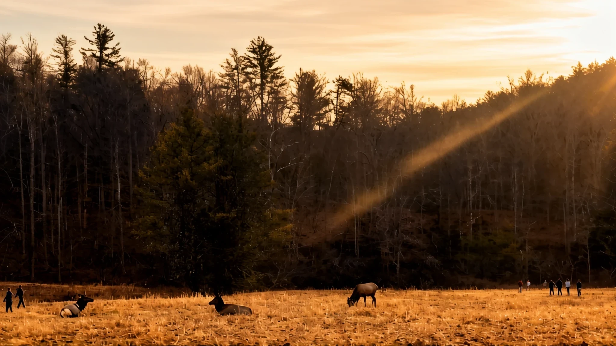
Ridge after ridge of forested mountain straddling the Tennessee–North Carolina line, with waterfalls, old farmsteads and the Appalachian Trail running through the middle.
The place
Great Smoky Mountains National Park sits on the ridgeline that divides Tennessee from North Carolina, in the southern Appalachians. The state border runs through the middle of the park, so a single walk can carry you from one state into the other without any gate to mark the crossing. The peaks here are among the tallest in eastern North America, and Kuwohi, Mount Guyot and Mount Le Conte are the names you will hear most often. Lower down, the slopes are wrapped in a cool, wet forest, part of the Appalachian temperate rainforest, and that moisture feeds the streams and waterfalls that draw many visitors. The park is known for its mountains, waterfalls, wildlife and plant life, and for a long network of hiking trails. The main entrances are on Newfound Gap Road, at Gatlinburg in Tennessee and Cherokee in North Carolina, with a third approach from Townsend. Expect the roads to be busy in the warm months, especially at weekends, and expect phone signal to be patchy once you are among the trees. The Appalachian Trail runs through the park from Georgia towards Maine, so long-distance walkers often pass this way. Private cars are the usual way in, and a scenic drive makes a sensible first day for anyone who wants big views without a long climb.
Its story
Native people had hunted in these mountains for thousands of years before any European expedition arrived. Archaeologists have found stone projectile points along what look like old animal migration paths, and Woodland-period sites within the park have yielded pottery and signs of early farming. Later, during the Mississippian period, many farming communities moved away from the forest and settled in the river valleys at the edges of the range, where the soil was richer. Their villages on the Little Tennessee River, Citico and Toqua, were later named after Cherokee towns that flourished on the same sites. Most of these settlements belonged to a loose chiefdom centred on a larger town called Chiaha, which now lies beneath Douglas Lake. Spanish expeditions passed through the French Broad valley north of the mountains in the sixteenth century, and both spent considerable time at Chiaha. The mountains themselves were heavily logged in the decades before the park was created. The Little River Lumber Company founded the village of Elkmont in 1908 as a logging camp, and it later became a resort with a hotel. The park was established in 1934. Cottage owners at Elkmont were allowed to lease their properties back, but the leases ended in 1992 and the buildings were left to decline. The hotel collapsed in 2005, while other structures still stand and are listed on the National Register of Historic Places.
What to see
- Morton Overlook — Newfound Gap Road, on the main crossing of the park
On the way to Kuwohi, or simply when you cross the park from one end to the other on Newfound Gap Road, this overlook gives wide views over the ridges. A sign helps you name the peaks and valleys below. Parking is limited, so pull in slowly and expect other drivers doing the same on busy days. Go in the morning if you want clearer air and fewer people.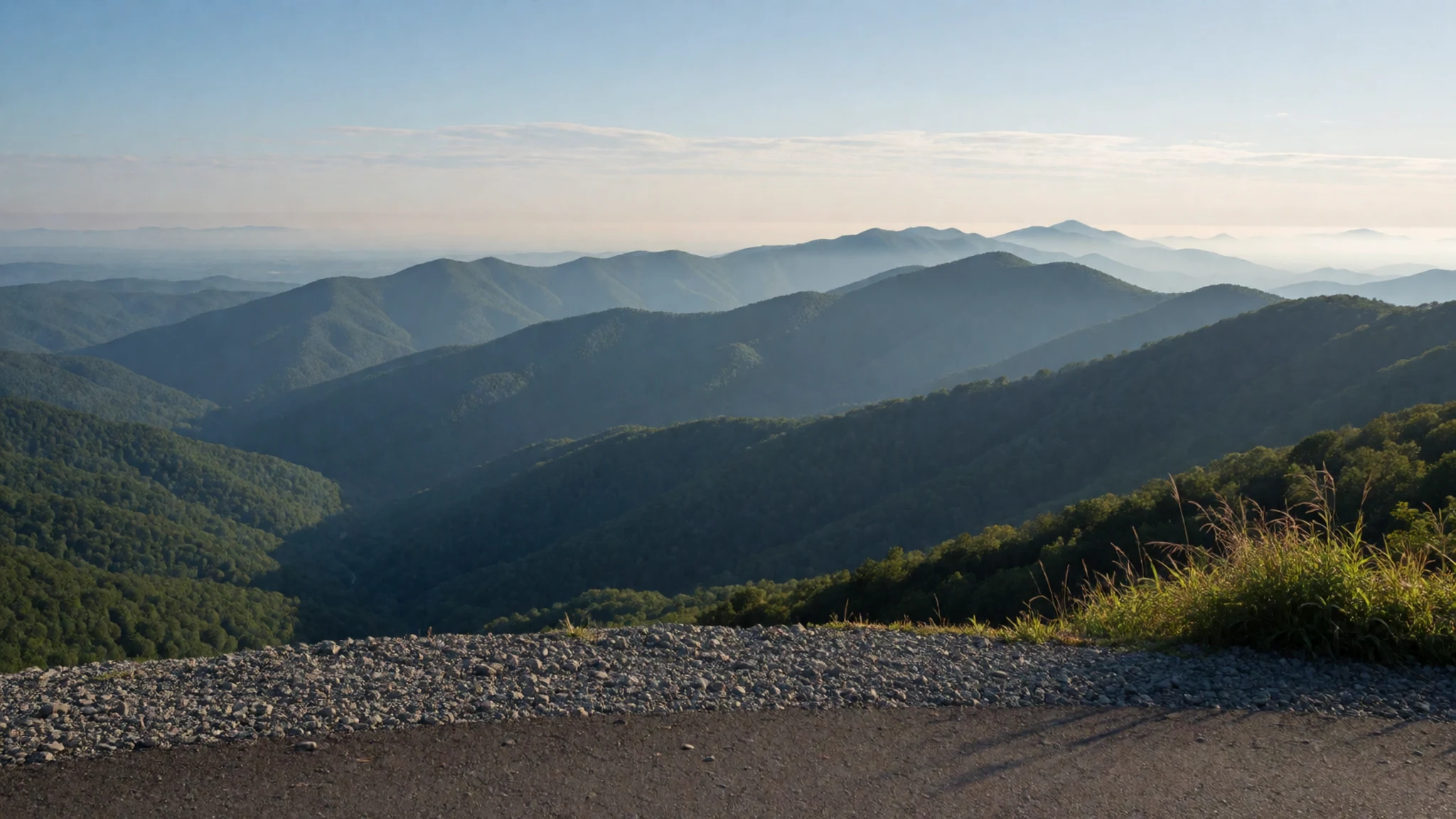
- Mount Le Conte — the high central ridge, reached by trails from the Gatlinburg side
Mount Le Conte is one of the park's major peaks, reached by several long trails that climb through forest. The Alum Cave Trail is the route many walkers choose, with rock bluffs and viewpoints along the way. Weather on the summit can turn quickly, even in summer, so carry layers and a waterproof. Plan a full day, check trail conditions before you set out, and take more water than you think you need.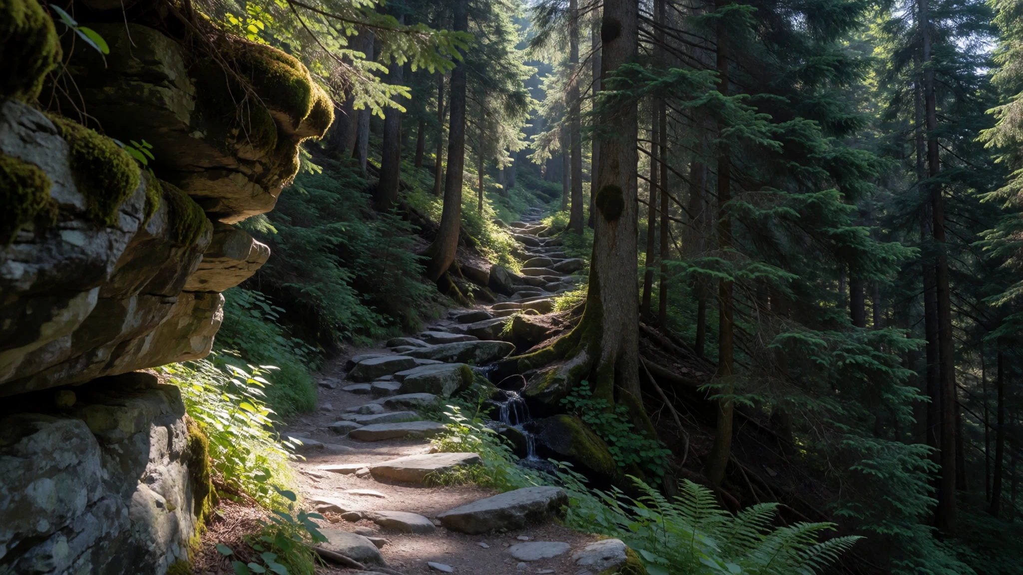
- Cades Cove — a broad valley on the Tennessee side, off Laurel Creek Road
Cades Cove is a broad valley on the Tennessee side, with an old loop road that winds past farmhouses, barns and open meadows. The historic buildings, including the Becky Cable House, show how settler families lived here. In the warmer months the loop is busy with cars, so start early or choose a weekday. Open fields are good places to spot deer, and the drive takes a few hours if you stop often.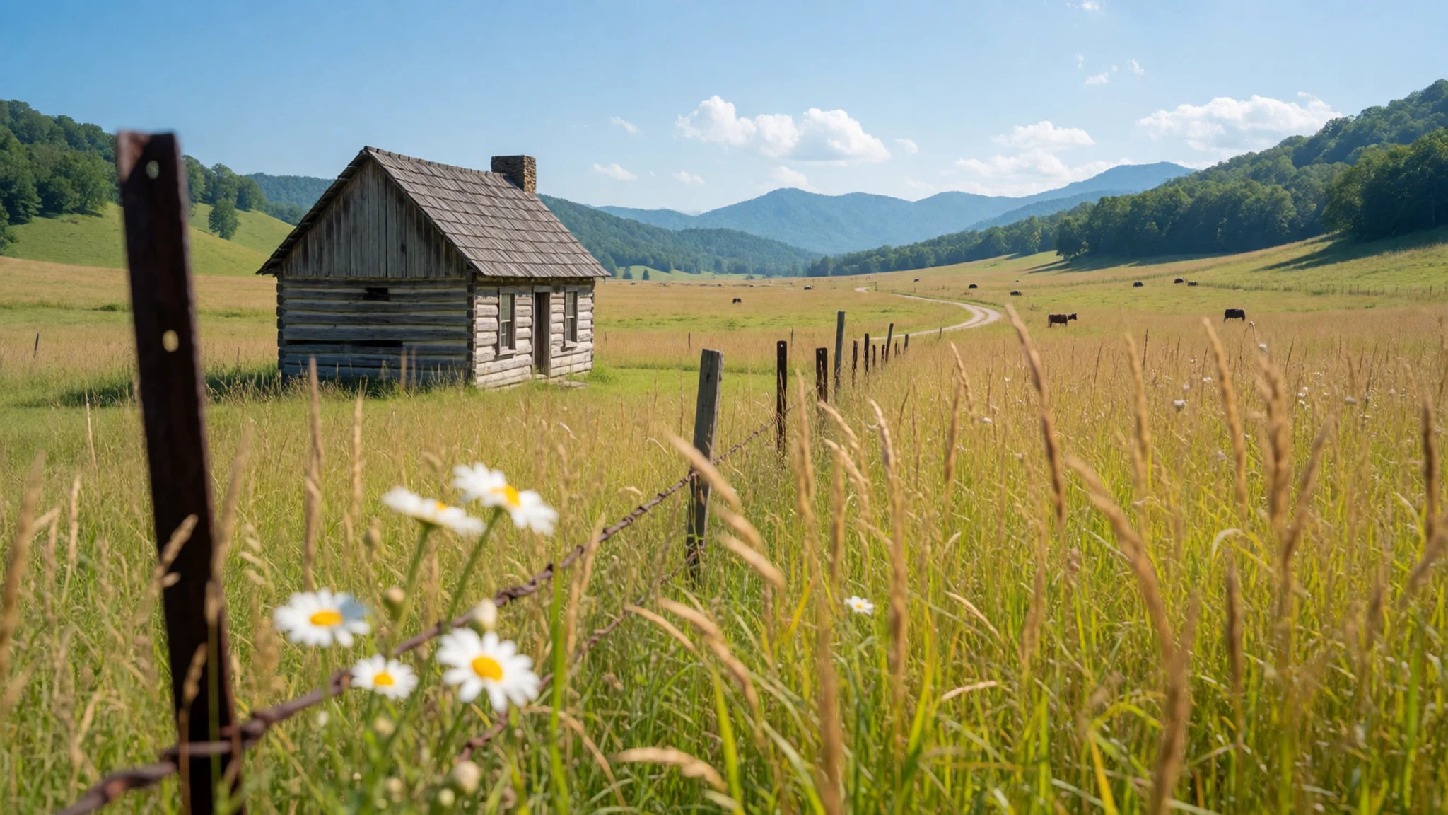
- Elkmont Historic District — Elkmont, on the Tennessee side near Little River Road
Elkmont began as a logging village and later became a resort, and today it is something close to a ghost town. Cottages stood here until the leases ended in 1992. A few structures remain and are on the National Register of Historic Places, while the old hotel collapsed in 2005. Walking between the wooden houses is quiet and a little eerie. Stay on the paths and do not enter the buildings.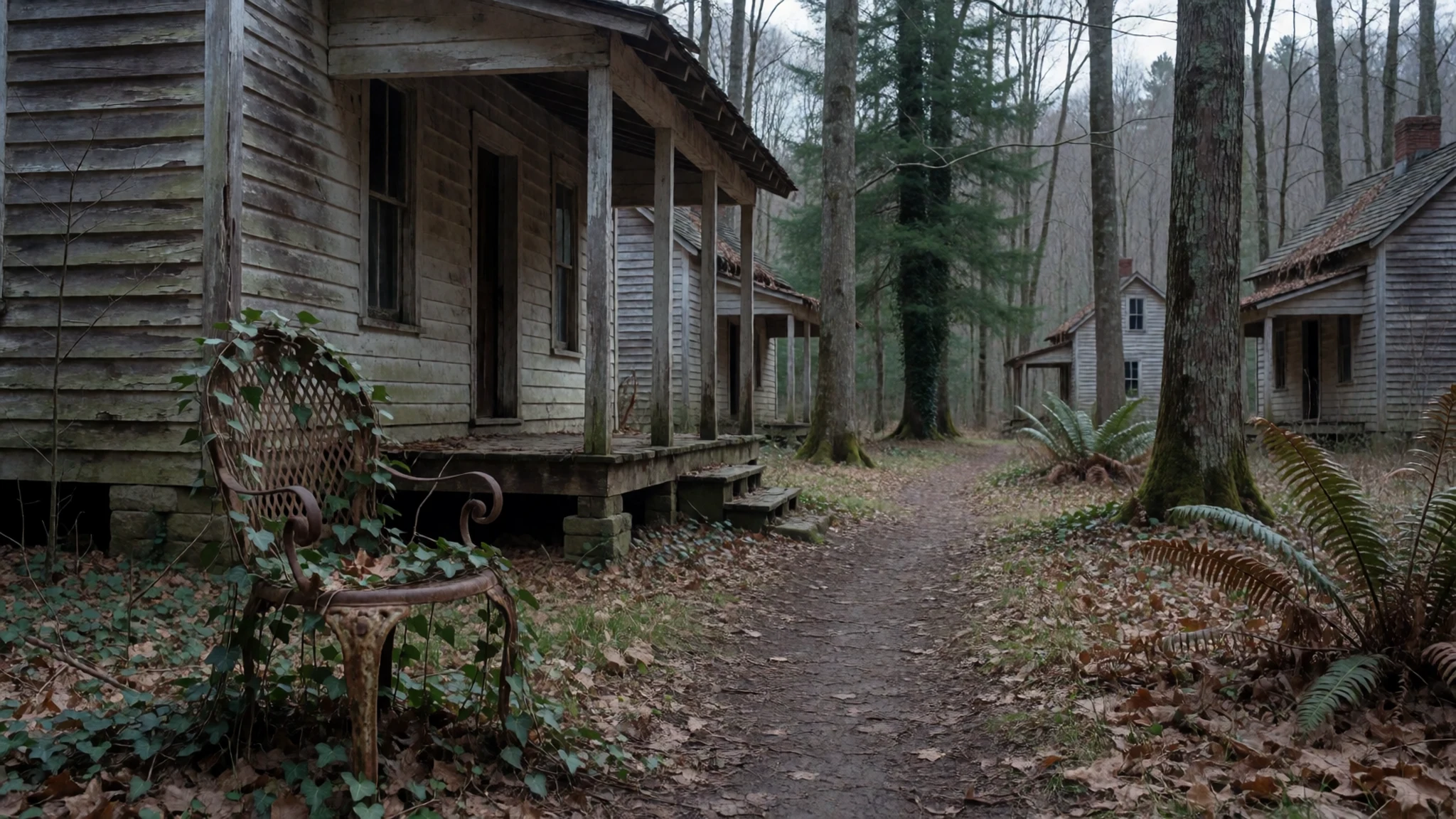
- Abrams Falls — the Tennessee side of the park, reached by a trail from Cades Cove
Abrams Falls is one of several named waterfalls in the park, a broad cascade that pours into a deep pool. The walk to it is a few miles and reasonably easy, though the path is busy on summer weekends. Rocks near the water can be slippery even when the day is dry. Keep children close, and do not climb the falls or swim where signs warn against it.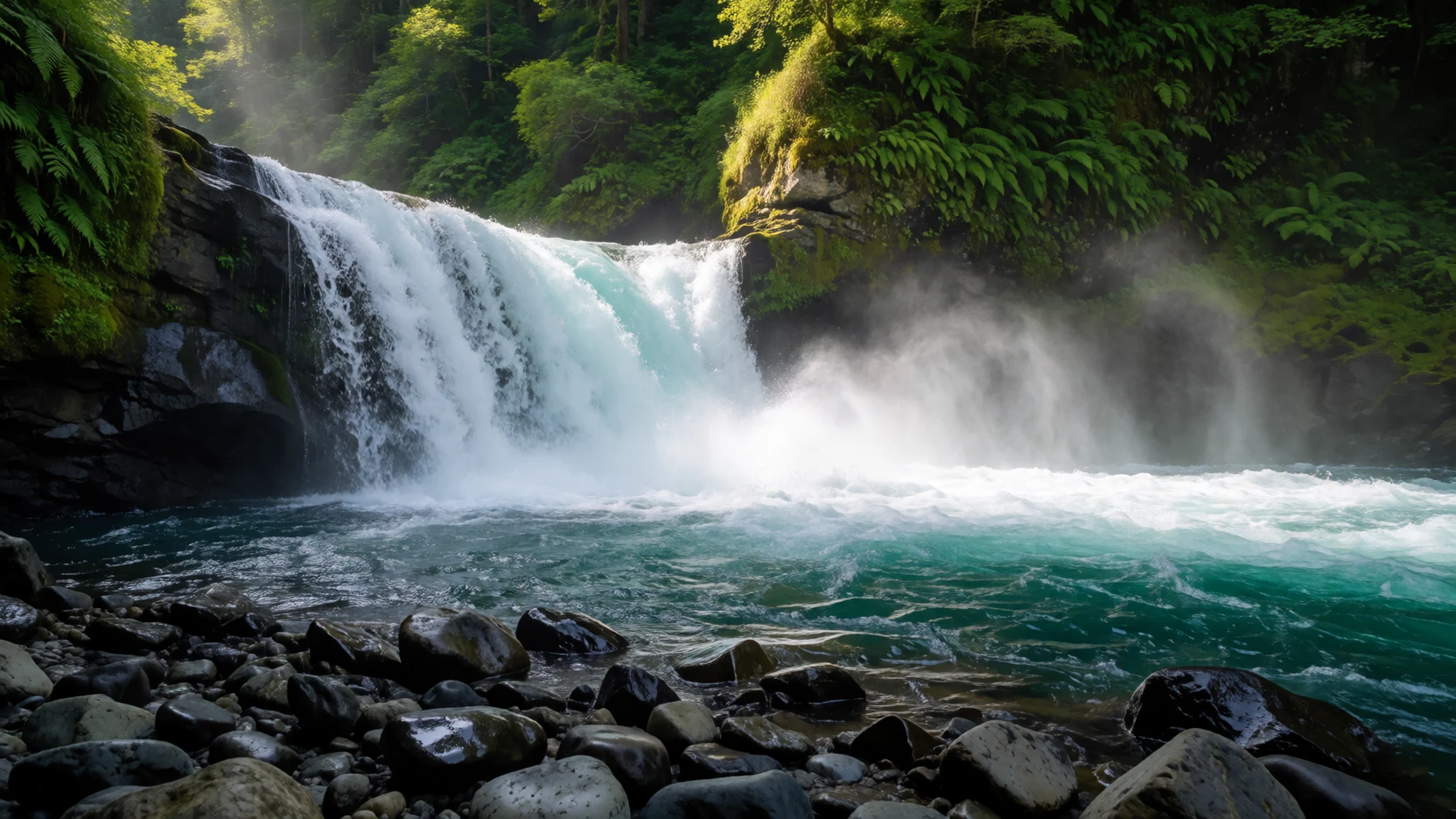
Culture
Great Smoky Mountains National Park is a protected landscape, but it also holds the memory of people who lived here long before it had a name. Cherokee communities have deep ties to these mountains, and many of their names still mark the map. Settler families and Appalachian mountain communities shaped the valleys too, through farming, music, crafts and storytelling that continue in the region today. Historic sites such as Cades Cove and Elkmont tell these stories through their buildings, so reading the panels at the visitor centres helps you understand what you are walking past. Traffic on the scenic roads often slows for views and for animals, so be patient and pull over safely. The park is firm about wildlife: keep well back from bears, never feed them, and do not leave food where they can reach it.
What to wear
Traditional Cherokee dress relied on what the land provided, including deerskin and woven plant fibres, and some decorative techniques such as beadwork and ribbonwork are still practised by Cherokee artists today. Mountain families in the Appalachian valleys wore homespun cloth, spun and woven at home, usually from wool and cotton. Quilts pieced from scraps were both practical bedding and a respected form of textile art, and quilting traditions remain strong across the region. Today the everyday look in Gatlinburg and on the trails is practical outdoor clothing: synthetic or merino layers, waterproof shells, walking boots or sturdy trail shoes, and a hat. For a visit, dress for changeable weather. The forest can feel cool and damp even on a warm day, so pack a fleece and a rain jacket. Avoid heavy cotton on long walks, since it holds sweat and dries slowly. Dress is informal across the park, but modest, respectful clothing suits the historic settlements and the Cherokee communities nearby.
What to eat
- Grocery-store picnic — the supermarkets in Gatlinburg or Cherokee, before you drive in
Both towns have supermarkets, and that is the most sensible option for most visitors. Buy ready-to-eat food or picnic supplies there, such as bread, cheese, cured meats, fruit and cold drinks. The camp stores inside the park are expensive and have a limited range, with long queues at busy times.
- Roadside picnic — the Collins Creek and Chimney Tops picnic areas, on the main road through the park
Several picnic areas along the main road let you eat in the open with views of the ridges. Collins Creek and Chimney Tops are among the easiest to reach from the road. Arrive early at weekends, because the tables fill quickly and the best spots go first.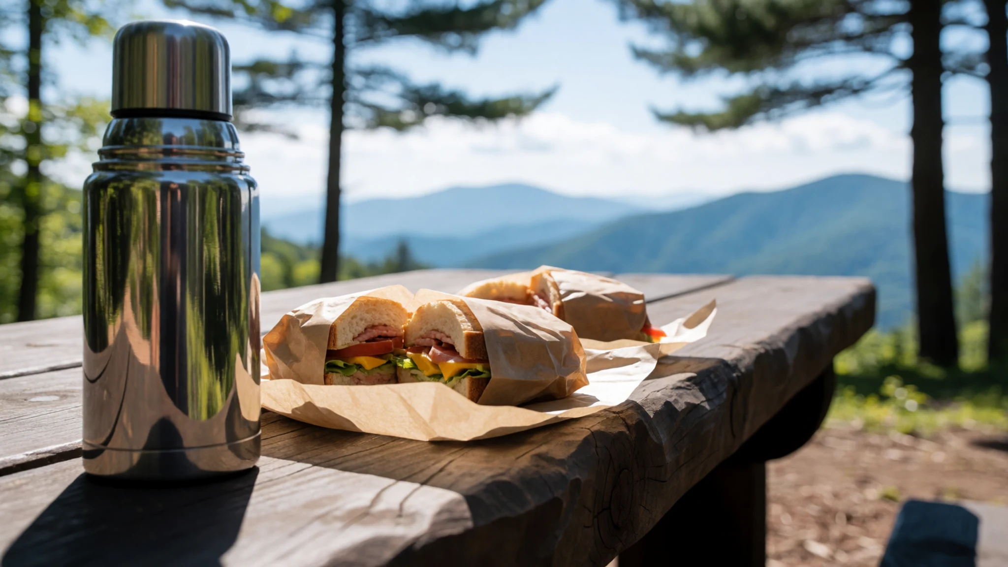
- Cades Cove picnic — the Cades Cove and Greenbrier picnic areas, off Laurel Creek Road
These picnic areas suit a longer stop, especially after driving round the valley. In spring it can feel cool even in sunshine, so bring a windbreak or an extra layer. Take every scrap of rubbish home with you, because bins in the park can be few. - Restaurant meal in Gatlinburg — the main strip in Gatlinburg, Tennessee
Gatlinburg is very tourist-focused, so there is a wide spread of places, from quick counter food to sit-down meals. Choose a restaurant away from the busiest stretch if you want a quieter table in summer. Menus vary a lot, so check what is on offer before you commit. - Biscuits and gravy at a morning diner — any diner in Gatlinburg or Cherokee
A classic start to a mountain day is biscuits and gravy, a Southern breakfast of soft biscuits under a thick sausage gravy, often served with eggs. Diners open early, which suits anyone planning to reach the trailheads before the crowds. Ask for coffee refills and take your time before the drive.
Plan it
Best time. April and May bring wildflowers and fresh leaves, and October brings autumn colour and cooler air. Summer is warm and busy with crowds, and winter can bring cold snaps and icy roads at higher elevations.
How long. 2–3
Getting there. Fly into Knoxville, to the west, or Asheville, to the east, and drive the last leg. The nearest train station is at Clemson, South Carolina, which is a long drive from the Bryson City entrance, so a car is the practical choice for most visitors.
Budget. mid
Tips
- Start the scenic drives early in the morning, when the roads and pull-offs are least busy.
- Check the official National Park Service site (nps.gov/grsm) for current road and trail information before you set out.
- Carry water and layers, because weather on the high ridges can change quickly.
- Book lodging well ahead for autumn weekends and the warm months, and check the official site for booking details.
- Phone signal is patchy inside the park, so download maps before you arrive.
Etiquette
- Stay at least the distance the signs suggest from bears and other wildlife.
- Keep to marked trails to protect fragile plants and the soil.
- Pull fully off the road before stopping to look or photograph.
Nearby
Sources
- Wikidata Q464004 (CC0)
- Wikipedia (rev 1373934048) (CC BY-SA 4.0)
- Wikivoyage (rev 5401140) (CC BY-SA 4.0)
- Photo 01 Great Smoky Mountains Cades Cove View, Vicpeters (CC BY 3.0)
- Photo 02 View atop Cliff Tops on Mount LeConte, AppalachianCentrist (CC BY-SA 4.0)
- Photo 03 Viewpoint along Alum Cave Trail, AppalachianCentrist (CC BY-SA 4.0)
- Photo 04 Mt. LeConte from Clingmans Dome, Bneu2013 (CC0 1.0)
- Photo 05 Sugarlands from Bull Head, Brian Stansberry (CC BY 3.0)
- Photo 06 Newfound Gap, Missvain (CC BY 4.0)
- Photo 07 Smoky Mountains Stream, Mark Steele (Public domain)
- Photo 08 Becky Cable House, Cades Cove, Billy Hathorn (CC BY 3.0)


