Great Sand Dunes National Park and Preserve
Great Sand Dunes National Park and Preserve, United States
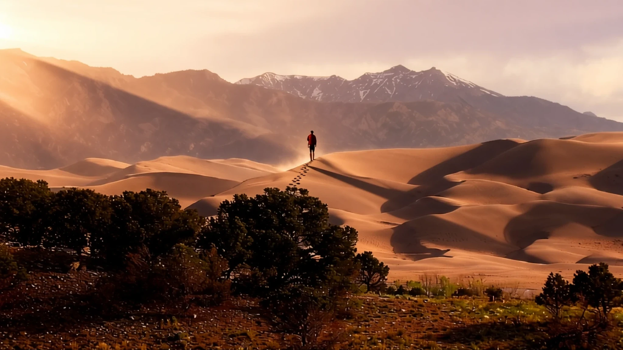
Great Sand Dunes is a rare chance to climb tall, shifting sand in the shadow of snowy Colorado peaks, and to paddle or paddle-free wade in a shallow spring creek.
The place
Great Sand Dunes National Park and Preserve sits on the eastern edge of the San Luis Valley in south-central Colorado, where the flat valley floor runs straight up against the Sangre de Cristo Mountains. The park protects a dune field that is the tallest of its kind in North America, with dunes rising up to 750 feet (230 m). Beside it lies a national preserve covering the higher mountain country, so the landscape moves from open sand to forested slopes and alpine ridges within a short distance.
The dunes are made of sand that streams carried down from the mountains over a very long time. When the ancient lakes in the valley dried up, the exposed sand was pushed by the prevailing southwest winds toward the mountain front, where it piled up against the range and stayed. The result looks more like a desert than the rest of Colorado, although it sits at considerable altitude.
The main dune area is an easy walk from the visitor centre along an obvious path. Beyond that point there are no marked trails, and the dunes are large enough that direction is easy to lose. The high country behind the dunes is reached by roads and trails farther along the access road, and the preserve is popular with backpackers in summer.
Visitors come for a mix of things: walking on the sand, the seasonal creek, and views of the snowy peaks. Weather changes quickly. Afternoon wind can throw sand into the air, and nights stay cool even in summer.
Its story
At Great Sand Dunes National Park and Preserve, human traces go back roughly 11,000 years, to hunters who followed herds of mammoths and prehistoric bison across the San Luis Valley. They used large stone spear points, now classed as Clovis and Folsom types, and they stayed only while hunting and plant gathering were good, moving away when drought made food scarce.
By the time Spanish explorers reached the region, several American Indian nations already knew the dunes well and had their own names for them. The Ute called them by a phrase meaning sand that moves, and the Jicarilla Apache, whose homeland extended into northern New Mexico, used a name meaning it goes up and down. Navajo tradition counts a peak near the dunes among its four sacred mountains. For Tewa- and Tiwa-speaking pueblos along the Rio Grande, a lake in the valley holds a central place in their origin story.
Geology explains the shape of the land. Over a very long period, sediment washed off the Sangre de Cristo Mountains and filled the valley. As the lakes receded, the bare sand was lifted and carried by the prevailing winds back toward the range. Over tens of thousands of years it built up into the dune field visible today.
The land was first protected in 1932, when President Herbert Hoover made it a national monument. Its status changed over the decades, and it became a national park and preserve in 2004, widening protection to the mountains behind the sand. Today the dunes are managed for their geology, their wildlife and their deep cultural significance to the tribes whose names for the place still carry meaning.
What to see
- The dune field
The dunes are a short walk from the visitor centre along an obvious path. Beyond that point there are no marked trails, so you wander among the ridges as you like. Keep the visitor centre in sight or carry a compass, because the sand looks much the same in every direction. Expect sand in your shoes, and leave dry socks or a change of footwear in the car.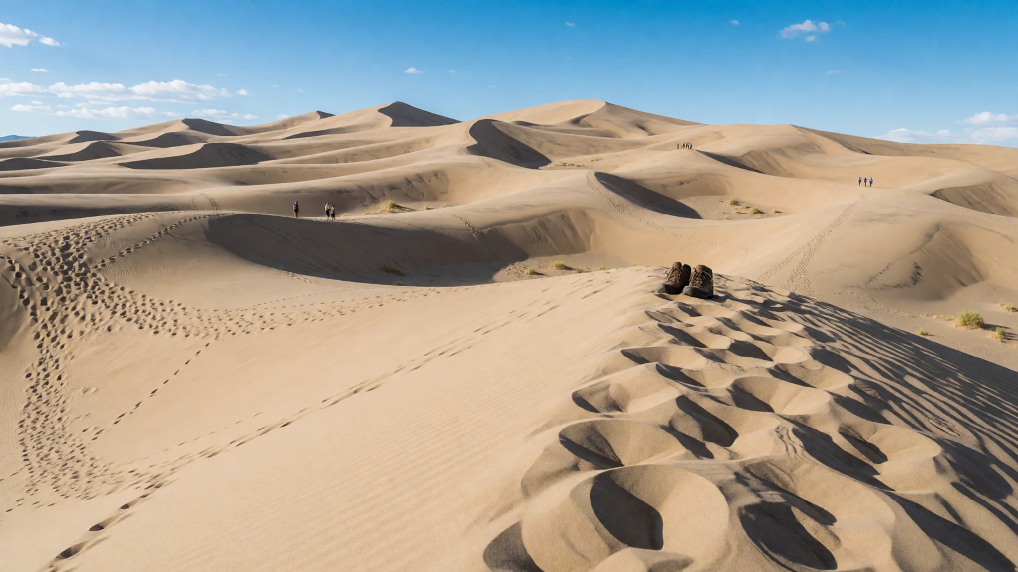
- Medano Creek
In spring and early summer, meltwater from the Sangre de Cristo Mountains forms a shallow creek that runs along the edge of the dunes past the visitor centre. Families wade, paddle and sit on the banks, giving the place a beach feel. The water is shallow enough to wade, so swimming is not really an option, and the flow usually fades as summer goes on.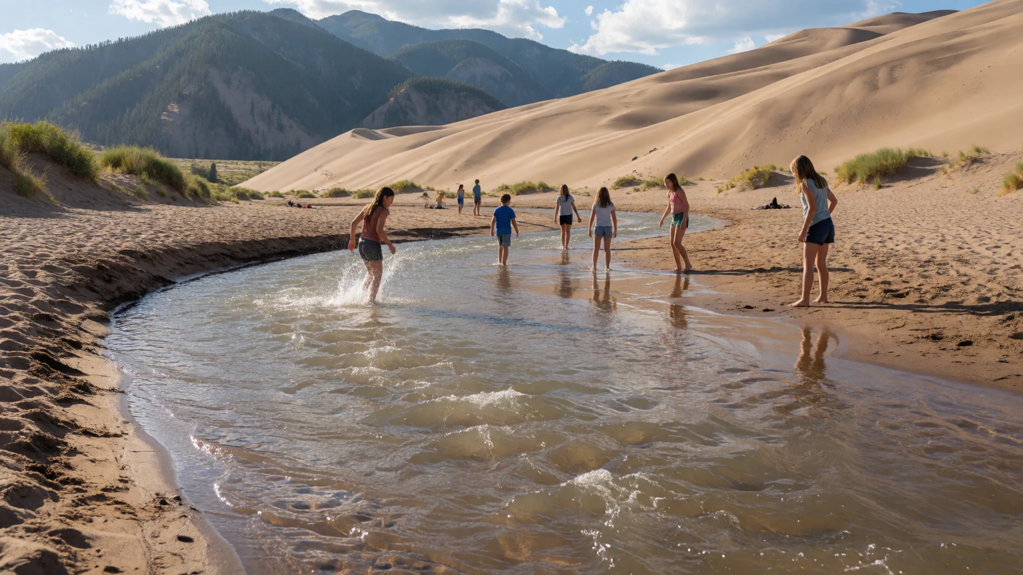
- High country trails
Past the dunes, the road climbs toward the Sangre de Cristo range, and trails lead into the high country. Backpacking here needs a free permit, which you collect at the visitor centre before setting out. Weather can turn quickly at altitude, so pack warm layers even on a bright morning, and tell someone where you are heading.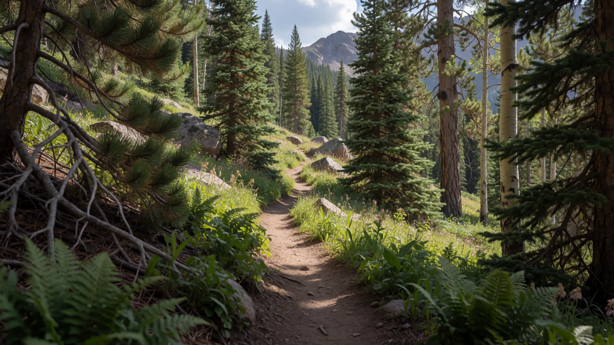
- Medano Pass road
Medano Pass sits at the eastern edge of the park, reached by a rugged four-wheel-drive road that suits high-clearance vehicles and experienced drivers. Along the way, the route offers backcountry car camping, a style of trip that is either adventurous or a little ridiculous, depending on your mood. Bring water, food and a paper map, as mobile signal cannot be relied on.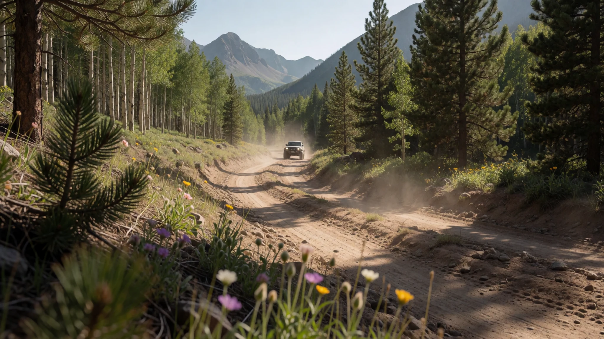
- Alamosa
Alamosa, the nearest sizeable town, has a reasonable choice of motels and motor inns, and it is the practical base for food, fuel and supplies before you head to the park. Smaller towns on the approach roads have motels that open and close, so check ahead before counting on them. Crestone, a little farther off, has bed and breakfast accommodation.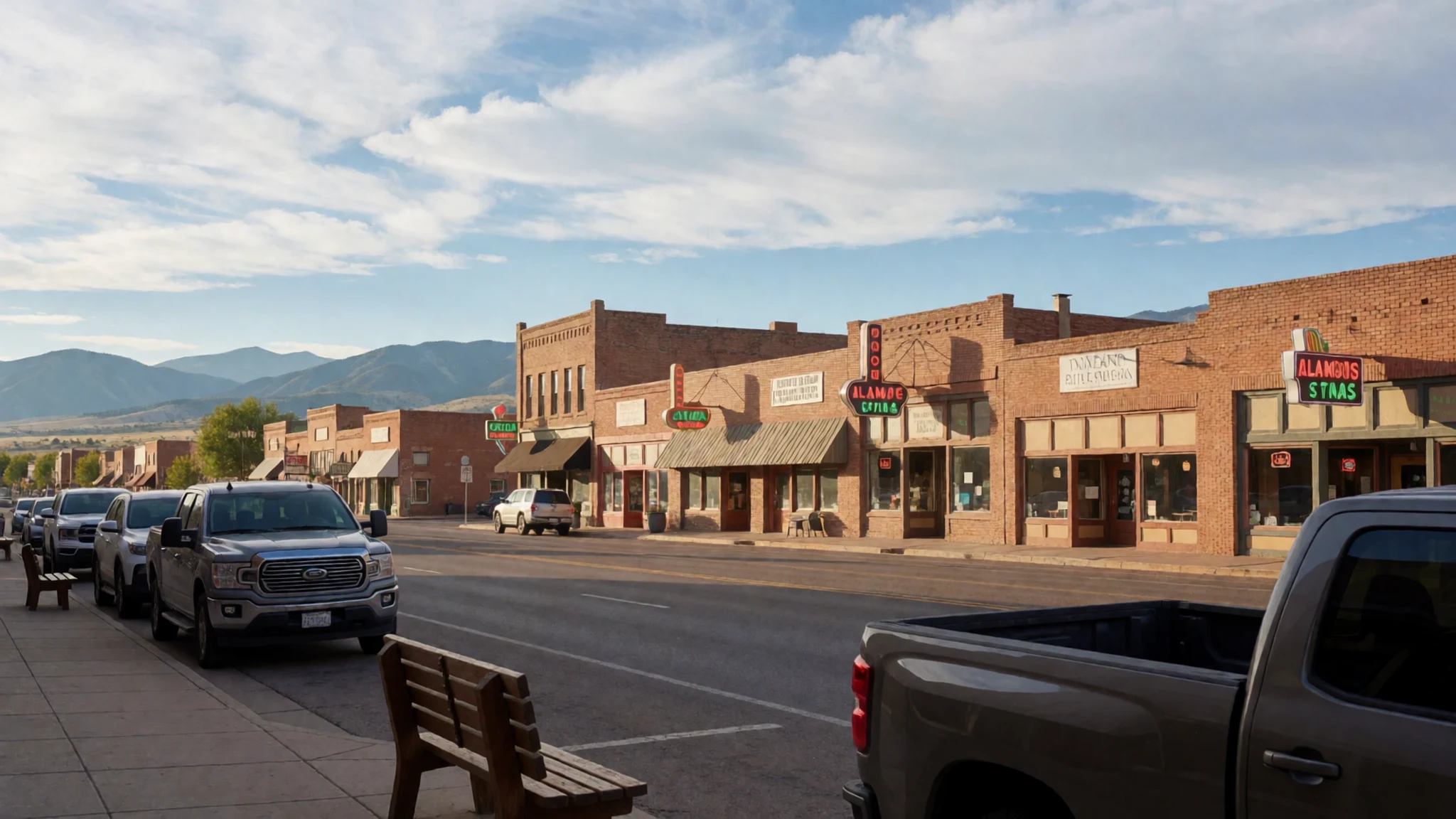
Culture
Great Sand Dunes National Park and Preserve lies within the homelands of several American Indian nations, and the place still matters to them. The Ute, Jicarilla Apache, Navajo and Tewa- and Tiwa-speaking pueblo communities each hold names or stories tied to the dunes and the valley around them. Their origin accounts and seasonal practices connect to this landscape, so it is a living cultural place rather than only a site for scenery.
For visitors, the main lesson is about attitude more than rules. Treat the dunes as a place of meaning rather than a playground for anything goes. Ask before photographing people during ceremonies, and do not take sand, stones or plants home as souvenirs. Photographs of Jicarilla Apache dancers taken with the dunes behind them show how closely the land is woven into tradition.
Wind and sand are constant, so keep voices moderate on the dune face, where others are trying to enjoy the quiet. Stay on the marked paths near the creek and leave the dunes as you found them, because the sand records every footprint and wrapper you leave behind.
What to wear
Great Sand Dunes National Park and Preserve sits in country where Indigenous communities have dressed for the land for generations, but the park itself has no single costume tradition to describe. Jicarilla Apache ceremonial dress is built on beadwork and leatherwork, worn for dances and gatherings rather than daily life. Navajo weaving, traditionally in wool, is the textile most closely linked with the wider region. Details vary by family and occasion, so ask locally before assuming anything.
Around the park and in the valley towns, everyday dress is practical outdoor clothing: jeans, fleece, sturdy boots and often a wide-brimmed hat. Western ranching styles are common in the farming towns, and many people wear sun shirts for long afternoons. On the dunes you will see plenty of trail runners and hiking boots, with people carrying their shoes back to the car.
Dress for a high, dry climate. Bring layers you can take off as the day warms and put back on when the wind picks up or the sun drops. Pack sun protection, sunglasses and a hat, since there is little shade on the sand. Choose closed shoes you do not mind filling with sand, and bring socks to change into. Modest dress is not an issue at the park, but covering shoulders is a sensible courtesy at any ceremony you happen to see.
What to eat
- Truckers plate — a café in Hooper, a small community in the valley
Brazen Café in Hooper serves a truckers plate that local people rate highly, and it is the dish regulars tend to order. Ask for it when you sit down. Expect a generous, hearty breakfast or lunch rather than anything light, which suits a long day of walking on sand.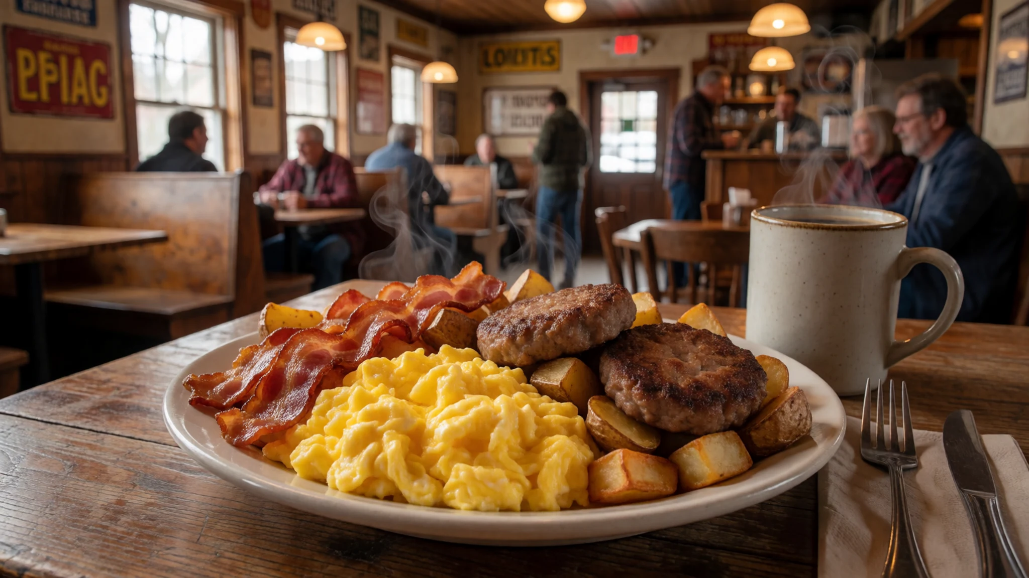
- Pizza and a cold beer — a bar in the valley towns near the park
Billy's Bar is a relaxed local stop where the pizza is well regarded and the beer is cold. It makes a simple, sociable pairing after a day on the sand. Arrive hungry, since the portions suit people who have been walking all afternoon.
- Picnic on the creek bank — the banks of Medano Creek beside the dunes, in season
In late spring and early summer, the creek banks near the visitor centre become a classic picnic spot. Families spread blankets on the sand and let children splash in the shallow water. There are few places to eat right beside the dunes, so pack lunch before you arrive. - Supplies before the drive in — supermarkets and fuel stations in Alamosa
Stock up in Alamosa before the final stretch of road. The small villages along the approach have only limited shops, so do not count on finding everything you need. Buy water, snacks and sun protection, as there is no shade on the dunes and the afternoons can be hot.
Plan it
Best time. Late spring and early summer bring the Medano Creek flow, which usually peaks from late May to early June, but that is also when the afternoon wind and heat build. September and October offer cooler air and quieter dunes. Winter brings snow to the dunes and the mountains, and the white sand against the peaks is a striking sight, though roads and trails can be harder going.
How long. 2–3
Getting there. Denver is the nearest large airport, a long drive away. Alamosa has small commuter flights to Denver and makes a practical place to stop for supplies. The last leg is a side road off the state highway that runs between Poncha Pass and Alamosa.
Budget. low
Tips
- Start early in summer, because afternoon wind and heat make the dunes hard work after midday
- Collect a free backcountry permit from the visitor centre before any overnight trip into the high country
- Carry water, sun protection and a compass or offline map, since the dunes are easy to get lost in
- Check nps.gov/grsa for current conditions, opening arrangements and any fees before you travel
- Pack a change of socks or shoes, because sand gets into everything
Etiquette
- Keep off the plants at the dune margins and stay on the marked path near the creek
- Leave sand, stones and plants where you find them
- Keep noise low on the high dunes so that others can enjoy the quiet
Nearby
Sources
- Wikidata Q609097 (CC0)
- Wikipedia, Great Sand Dunes National Park and Preserve (rev 1380095916) (CC BY-SA 4.0)
- Wikivoyage, Great Sand Dunes National Park (rev 5242058) (CC BY-SA 4.0)
- Photo: Great Sand Dunes NP 1, Preiselbeere (CC BY 3.0)
- Photo: Great Sand Dunes National Park and Preserve (Unsplash), Lionello DelPiccolo (CC0 1.0)
- Photo: NPS great-sand-dunes map (Public domain)
- Photo: Jicarilla Apache Mundo Dancers, Dunes in Background (Public domain)
- Photo: Intermittent Medano Creek seeps through desert sands, Wing-Chi Poon (CC BY-SA 2.5)
- Photo: Aerial view of Great Sand Dunes, Plsullivan3 (CC BY-SA 4.0)
- Photo: NPS great-sand-dunes backcountry map (Public domain)
- Photo: Snow-Covered Dunes and Mount Herard from Montville Trail, NPS/Patrick Myers (CC BY 2.5)


