Grampians National Park
Grampians National Park, Australia
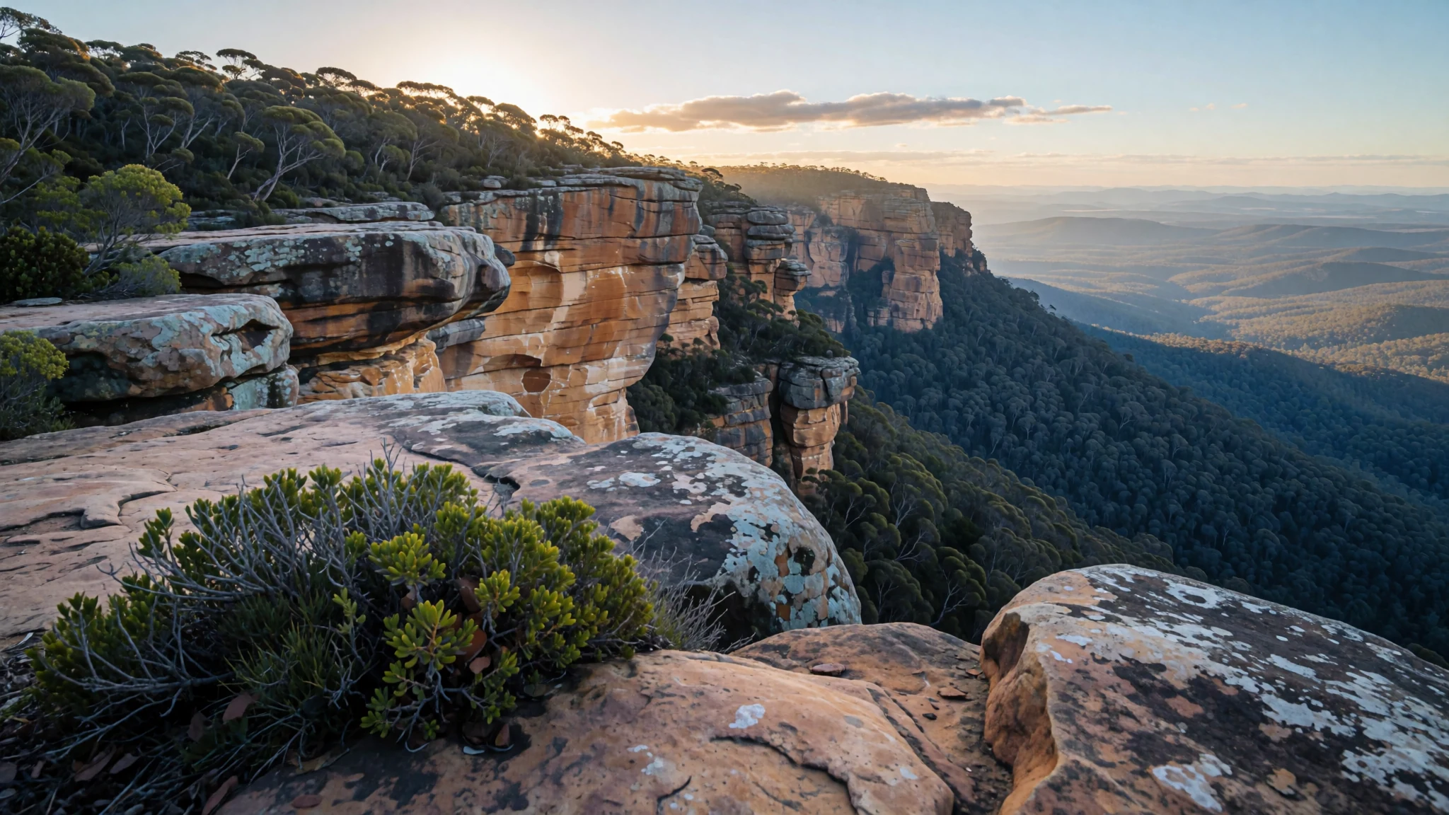
Sandstone ridges rising from the western plains, one of the richest concentrations of Aboriginal rock art in south-eastern Australia, and trails for every level of walker.
The place
The Grampians National Park, known to the Jardwadjali people as Gariwerd, lies in the Grampians region of Victoria, about 260 kilometres west of Melbourne. The park covers roughly 167,000 hectares of ranges shaped by uplift, tilting and long erosion, forming the western end of the Great Dividing Range. Seen from the plains, the sandstone walls seem to rise out of nowhere, and that first view is most of why people come. Hall's Gap is the only town inside the park and the main base for visitors, with a few motels, cafes, a supermarket and the park's visitor centre. Dunkeld sits at the southern entrance, under Mount Sturgeon and Mount Abrupt, and offers a second way in from the south. The park was proclaimed in 1984, and its landscape and rock art were placed on the National Heritage List in 2006. Roughly 90 per cent of the state's rock art is found here, much of it in shelters that hold deep cultural meaning for Traditional Owners. Most visitors arrive by car, and the park suits a slow pace: a short morning walk, a lookout in the afternoon, and the evening light turning the cliffs orange.
Its story
The Grampians have drawn people for a very long time. Aboriginal communities lived in and around the ranges for thousands of years, and the rock art on their shelters and cave walls records that long connection. Gariwerd, the Jardwadjali name for the range, still anchors how the park is described and cared for today. European settlement brought sheep and farming to the surrounding plains, but the ranges stayed wild and tricky to reach. Once the railways were extended to nearby Stawell, Ararat and Dunkeld in the early twentieth century, more visitors came up from the towns, and the arrival of the car made the trip easier still. Tourist roads cut into the ranges during the 1920s opened up lookouts and falls that had been hard to reach on foot. Climbers arrived later. The first routes were set in the 1960s, and the sandstone faces have since become a serious destination for climbers of every standard. Mount William, the highest point in the park's northern reach, is known to glider pilots for the Grampians Wave, a standing wave that sometimes lifts gliders to great heights on strong westerly winds. Fire is part of the story too. Bushfires have swept through the ranges more than once, and the eucalypts regrow quickly from their trunks and roots. Today the regrowth is visible on many slopes, a reminder that the landscape changes with each cycle of burn and recovery.
What to see
- Mackenzies Falls — Mackenzies Falls area, near Hall's Gap
A short walk from the Mackenzies Falls car park brings you to a drop over a sandstone lip into a shaded pool. The falls run strongest after rain, and are much thinner in the dry months of summer. Go early in the day for quieter paths, and take sturdy shoes, because the rocks can be slippery near the water.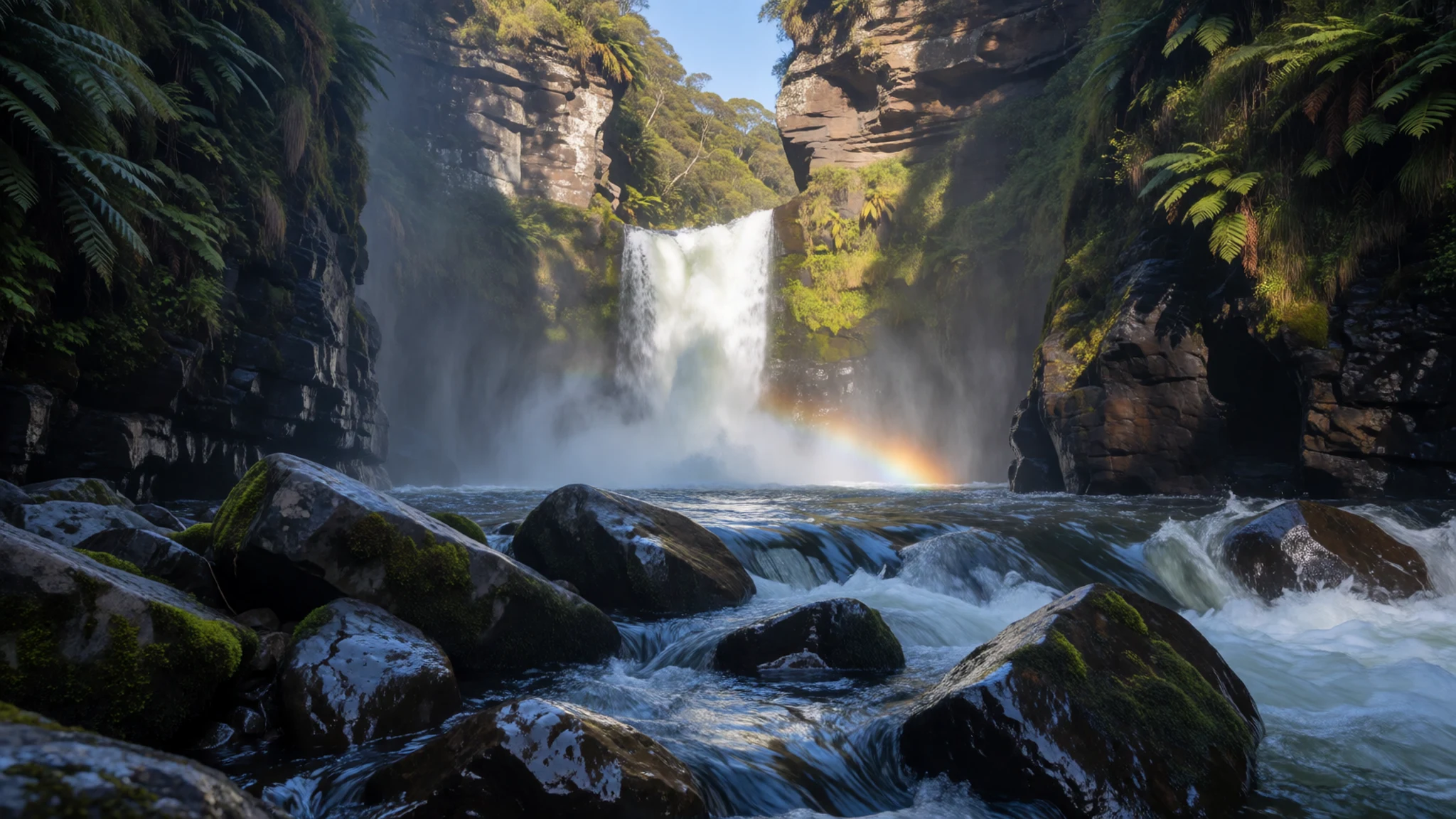
- The Pinnacle — Hall's Gap and the Wonderland car park
The Pinnacle walk takes you through narrow canyons and up stone steps to a viewing platform above Hall's Gap. The route starts from town or from the Wonderland car park, and the climb is steady rather than steep. Allow a few hours return, carry water, and expect a strong wind at the top even on warm days.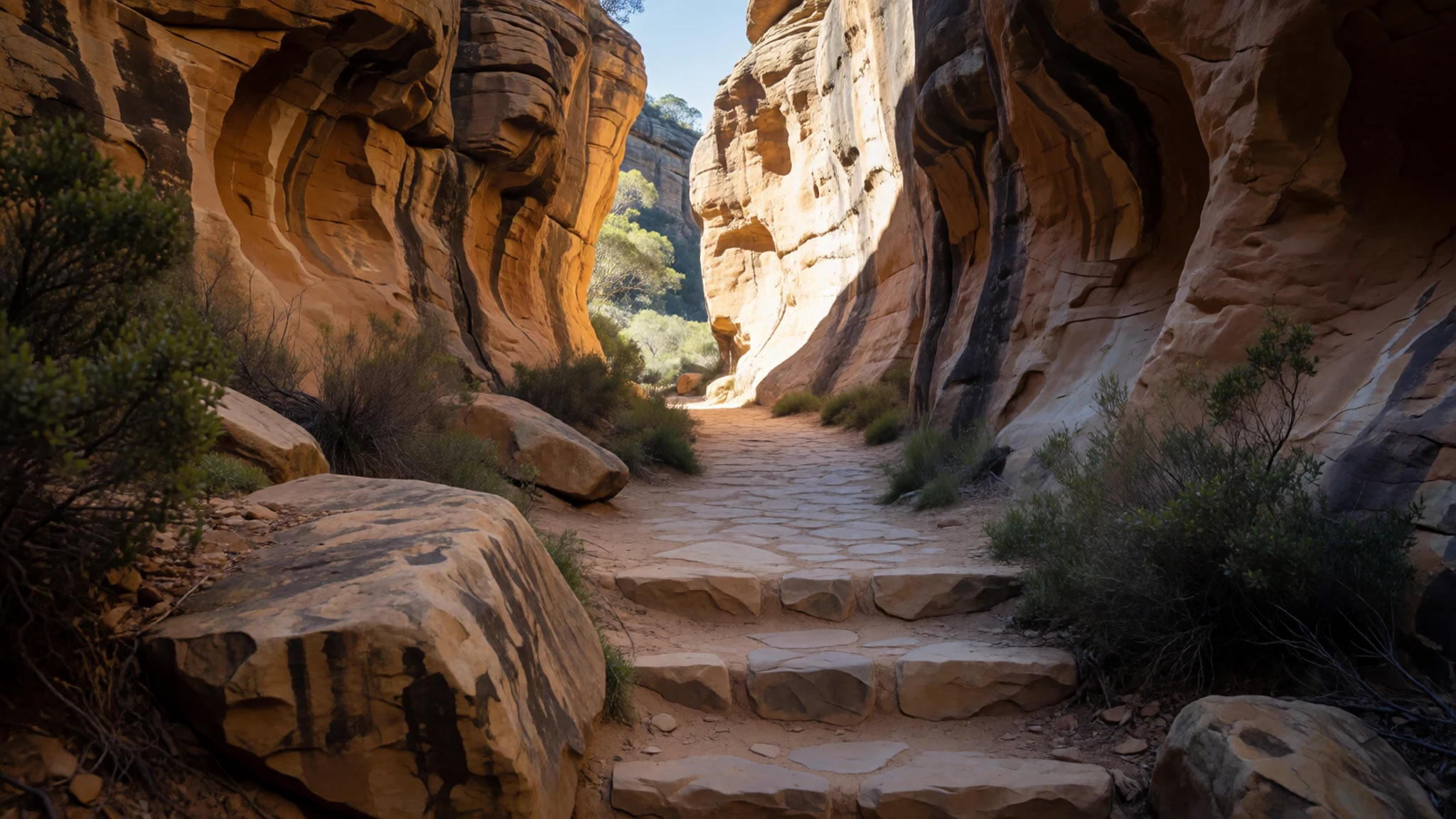
- Brambuk Cultural Centre — Halls Gap, the park's cultural centre
Brambuk: The National Park and Cultural Centre, run with Traditional Owners, is the place to learn about Gariwerd and the Jardwadjali people before you walk. Its displays cover culture and the land, and a short film tells the story of Bunjil, the creator spirit. It makes a good first stop, especially on a wet or cold day when the trails are less inviting.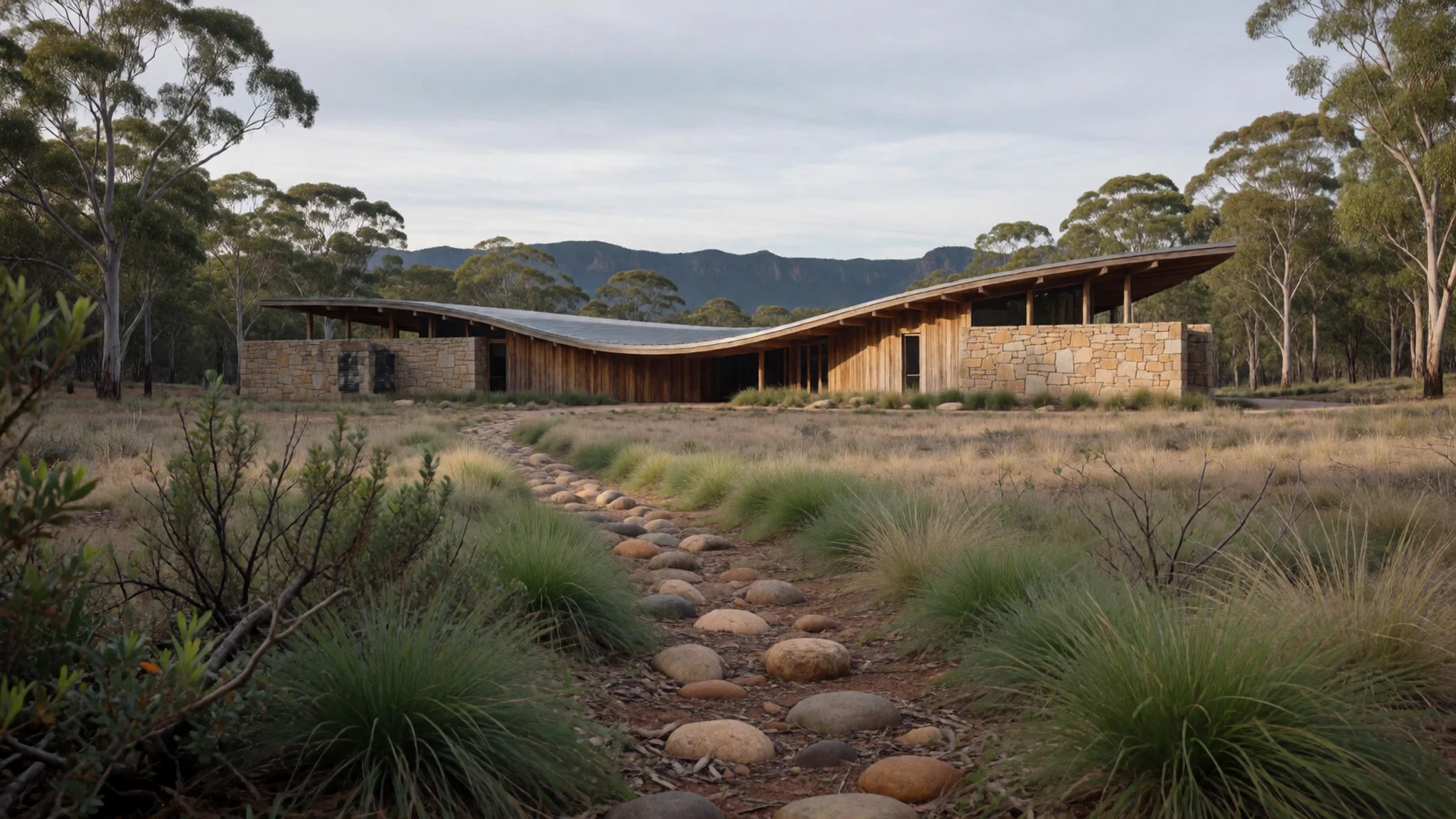
- The Balconies lookout — Balconies lookout, Grampians Tourist Road
The Balconies is a rock formation with a lookout that gives sweeping views over the plains and the sandstone walls. Its older name, the Jaws of Death, hints at the steep drops along the edge, so keep children close and stay behind the fencing. Late afternoon light makes the rock glow, and the lookout is a fine place to finish a day.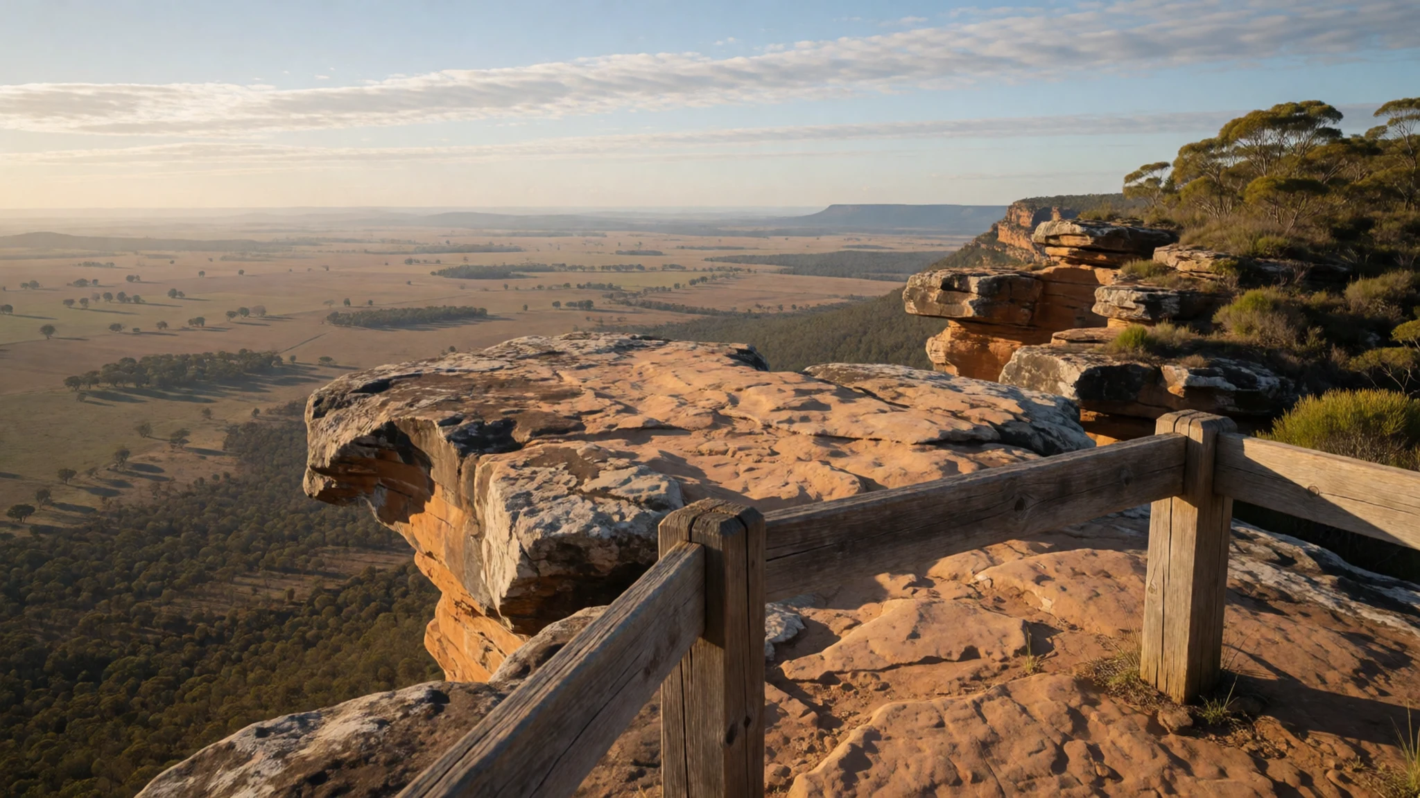
Culture
The Grampians are Gariwerd, a living Aboriginal landscape, and the Jardwadjali people remain its Traditional Owners. Their stories, names and ceremonies are tied to specific ridges, caves and waterholes, so a visit is also a chance to listen to how they describe the country. Much of the rock art sits in shelters and on open rock faces, and many sites are protected or open only with guidance. The visitor centre and Brambuk can point you to sites that are open to the public and explain what to expect. Some sites are fragile, and the paintings and engravings can be damaged by touch, chalk, or oils from hands. Respect also extends to the wider landscape. Wildlife is part of the cultural picture, and kangaroos and koalas are often seen near town, so feed nothing and keep your distance. Campgrounds have shared facilities, so keep noise low after dark and pack out all rubbish. Stay on marked tracks and keep your hands off the rock art, even at sites where no sign tells you so.
What to wear
Traditional dress in south-eastern Australia relied on the materials of the land. Possum-skin cloaks, worn for warmth in cold weather, were made from carefully prepared skins sewn together and often decorated with incised patterns. Other clothing and adornment used plant fibres, feathers, shell and ochre, and the making of these objects followed knowledge passed down through families. Today most people in Hall's Gap and the surrounding towns dress much as Australians do elsewhere: work shirts, jeans, fleece and waterproof jackets, with boots or trail runners for the bush. Many Aboriginal artists and cultural workers show their identity through contemporary clothing and art, and you may see that in the galleries and gift shops in the area. As a visitor, dress for the climate rather than the postcard. Weather in the ranges changes quickly, so pack layers, a wind and rain jacket, and a warm top even in summer, because the high ground can be cold and damp. Wear closed shoes with good grip for sandstone that becomes slippery when wet. Bring a hat, sunscreen and sunglasses for the open lookouts, and avoid bare feet on the rock.
What to eat
- Pies from the town bakery — the bakery in Hall's Gap
Hot pies and sweet pastries from the bakery are the simplest way to fuel a day on the trails. Buy a pie before setting out, eat it on a bench near the car park, and pick up bread for the evening. The bakery also sells cakes, so it is a convenient stop.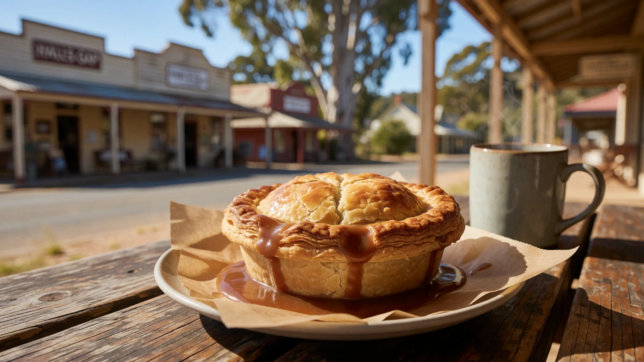
- Bistro meal at a bar with a beer garden — a bar-bistro on Hall's Gap's main road
Bar-bistros in Hall's Gap serve hearty plates such as grilled meats, chips and salads, with lunch and dinner the main sittings. A beer garden makes a relaxed place to sit after a long walk. Expect a casual crowd, especially on weekends and school holidays.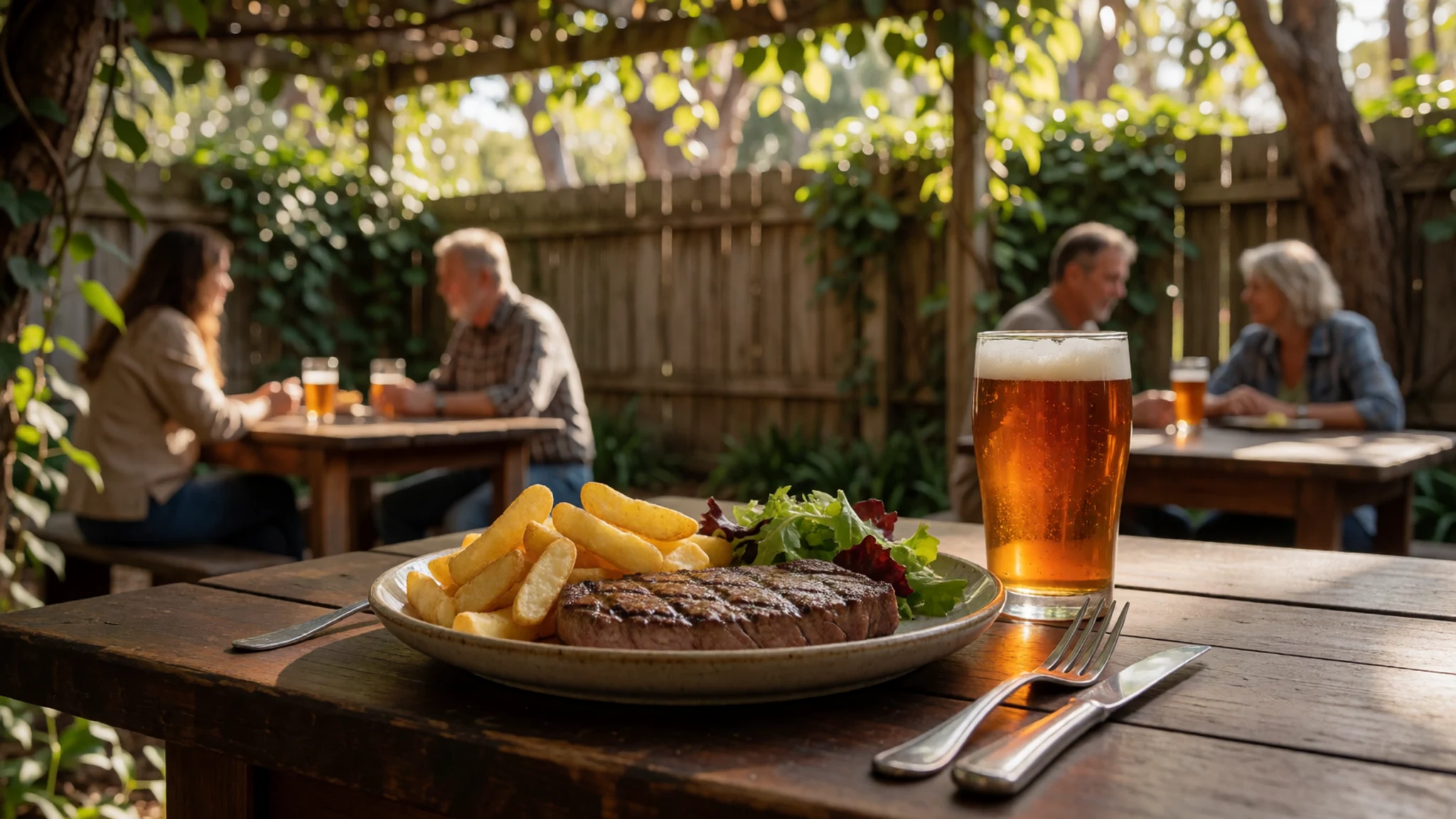
- Wood-fired pizza — a casual pizza place in Hall's Gap
Pizza is a dependable option in town, with simple toppings on a thin base and quick service. It suits families and late returns from the ranges, and it is good value after a day of walking. Book ahead in peak seasons if you are a larger group. - Hot lunch at a small cafe — a cafe on the main street of Hall's Gap
A small cafe offers a hot roll, a chop with chips, or a light lunch that sits between a sandwich and a full restaurant meal. It is quick and affordable, and it suits a packed lunch replacement before a walk. Ask what is freshly cooked that day.
Plan it
Best time. March to May and September to November offer mild days, cool nights and clear views. Summer days are hot and dry, with fire risk, while winter, from June to August, is the coldest and wettest season, bringing cloud, frost, snowfall on the higher peaks and muddy trails, yet it is still a good time to walk the lower tracks in layers. Check the fire danger rating before any summer trip.
How long. 2–3
Getting there. Fly into Melbourne, then drive west on the Western Highway and turn off at Stawell for Hall's Gap. From Ballarat, take the coach to Stawell and change for the onward connection to Hall's Gap. A car gives the most freedom for lookouts and trailheads.
Budget. low
Tips
- Start popular walks such as The Pinnacle early to avoid crowds and heat
- Check fire danger ratings and park closures before you travel
- Pay for campsites through the self-service permit system at each campground
- Carry water and layers, as the weather on the high ground changes fast
- Visit the visitor centre at the southern end of Hall's Gap for current track conditions
Etiquette
- Keep to marked tracks and never touch rock art
- Leave wildlife alone and do not feed kangaroos or koalas
- Keep noise low at campgrounds after dark
Nearby
Sources
- Wikidata Q515047 (CC0)
- Wikipedia: Grampians National Park (rev 1381928886) (CC BY-SA 4.0)
- Wikivoyage: Grampians National Park (rev 5402981) (CC BY-SA 4.0)
- Photo: View from the pinnacle lookout over Halls Gap (Public domain)
- Photo: Grampians National Park viewed from north of Boroka Peak (CC BY 3.0)
- Photo: Grampians National Park, just North of Dunkeld (CC BY-SA 2.0)
- Photo: An intrepid hiker on the Balconies (Public domain)
- Photo: Panoramic view of the western end of the Grampians (CC BY 3.0)
- Photo: Eucalypt regrowth 15 months after a bushfire (CC BY 3.0)
- Photo: Hollow Mountain iron stains (CC BY-SA 4.0)
- Photo: 118 Grampians nr Dunkeld, Jan 1979 (CC BY 2.5)


