Glacier Bay National Park
Glacier Bay National Park, United States
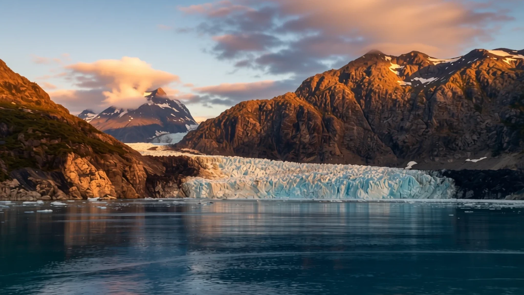
Glacier Bay National Park is one of the few places where you can kayak between tidewater glaciers and cold, quiet inlets within a short paddle of a base camp.
The place
Glacier Bay National Park and Preserve sits in Southeast Alaska, west of Juneau, on land first set aside in 1925 when President Calvin Coolidge proclaimed the area around the bay a national monument under the Antiquities Act. The monument grew with a 1978 expansion and then, in 1980, the Alaska National Interest Lands Conservation Act turned it into a national park and preserve of far larger scope. Most of the combined area is designated wilderness. The national preserve to the northwest protects part of the Alsek River and its fish and wildlife habitats, and it still allows sport hunting. In 1979, the bay was included in a UNESCO World Heritage Site that spans two countries, and in 1986 it was also designated a Biosphere Reserve. Its geology is layered. The west side of the bay is built from a very deep sequence of Paleozoic sedimentary rock, mostly massive limestones and argillite, with the oldest layers dating to the Silurian period and the youngest to the Devonian. Elsewhere, a steep hill called the Nunatak shows rock that has been changed by heat and pressure. The bay's main draw is its tidewater glaciers, which calve large amounts of ice into the water. Access is limited. There are no roads to the bay, and the only road inside the park is a short stretch between Bartlett Cove and the neighbouring village of Gustavus. Most visitors arrive by air, ferry or cruise ship.
Its story
Glacier Bay National Park has been shaped by ice and by the people who have lived alongside it for generations. The Tlingit peoples of the region have deep connections to these waters, and long before the park existed their territory, food and travel routes were tied to the coast and its channels. The area first gained federal protection in 1925, when President Calvin Coolidge proclaimed the land around the bay a national monument under the Antiquities Act. In 1978 President Jimmy Carter expanded the monument, and two years later the Alaska National Interest Lands Conservation Act enlarged it greatly and created the national park and preserve. International recognition followed: the bay became part of a binational World Heritage Site in 1979 and a Biosphere Reserve in 1986. In 1994 the National Park Service committed to working with the Hoonah and Yakutat Tlingit organisations in managing the area, a change that put local knowledge at the centre of decisions about access and resources. Through the twentieth century the bay's glaciers were studied and photographed by scientists, rangers and cruise passengers alike, and their retreat has become a record of change in the region. Management today balances wilderness protection, hunting in the preserve, and visitor access by boat and kayak. The story is still being written, shaped by the same ice and tides that formed the bay.
What to see
- Johns Hopkins Glacier — West Arm of Glacier Bay
Johns Hopkins Glacier is a massive tidewater glacier in the west arm of the bay, and it is one of the main reasons visitors come. It calves ice in such large quantities that ships seldom get closer than about two miles from its face, so the view is best from a cruise deck or a distant kayak. Expect a cold wind off the ice even on a clear day, and bring binoculars to pick out seals and birds resting on floating ice.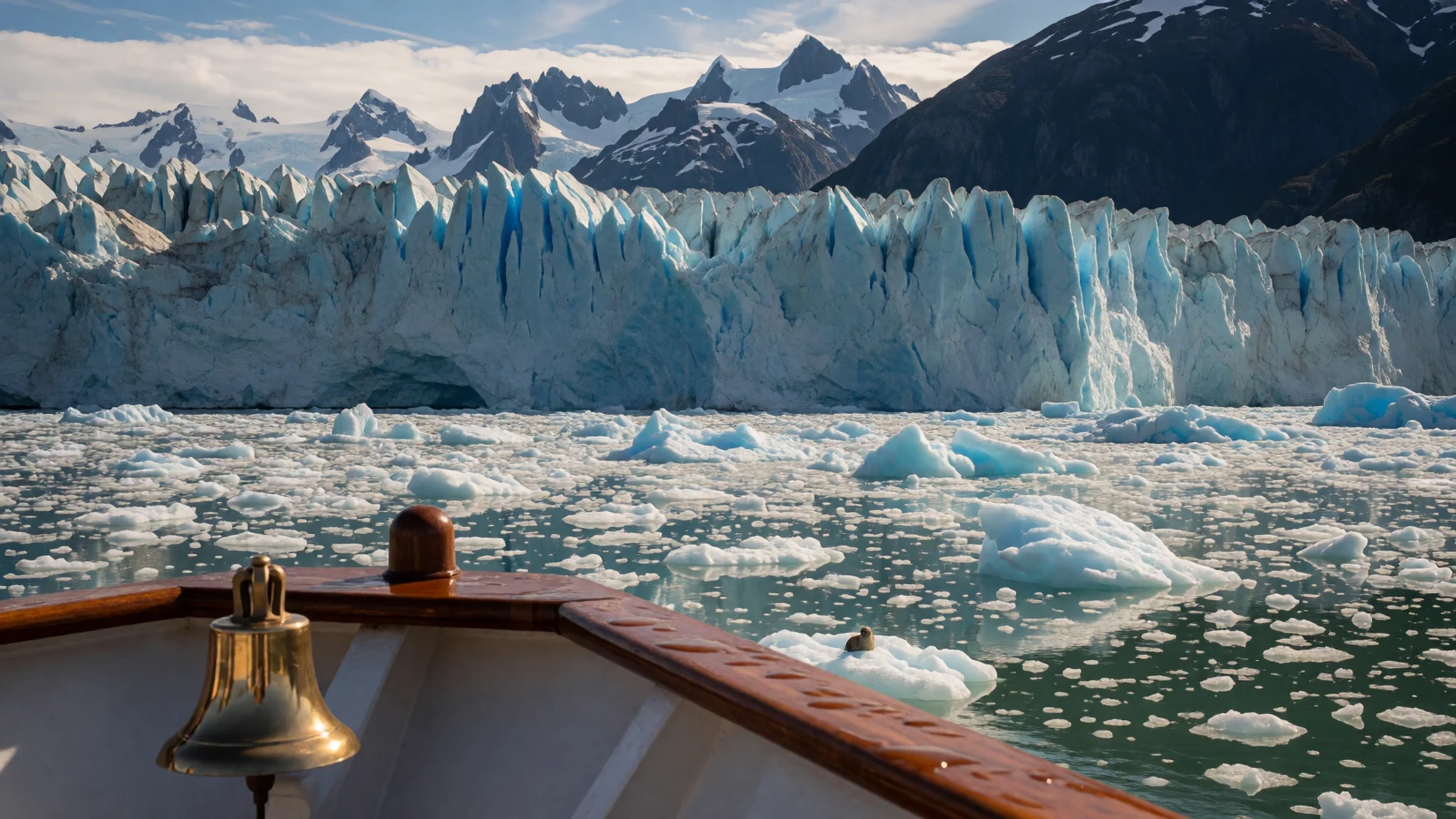
- Beardslee Islands — Near Bartlett Cove
Close to Bartlett Cove, the Beardslee Islands make a good day's kayaking, since they lie a short paddle from the park's base. Tides here can change water levels by as much as twenty-five feet, so at low tide much of the area can turn into mud and rock flats. Plan your route around the tide times, and avoid paddling into narrow channels just as the water begins to drop.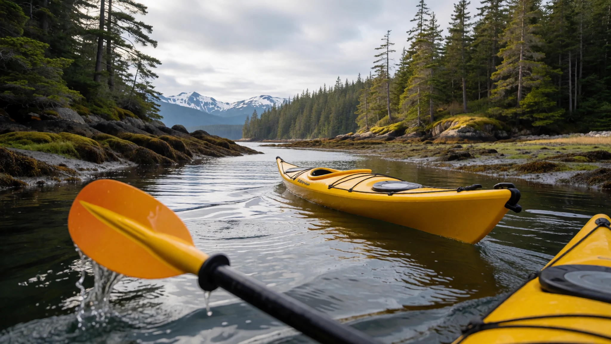
- Muir Inlet — Eastern part of the bay
Muir Inlet is a long arm of the bay where motorised boats are kept out for much of the summer, which leaves it quieter than most of the park. Kayakers come here for stillness, and on calm days the water often holds reflections of the surrounding peaks. Access rules can change from year to year, so check the park's current boating restrictions before you paddle or book a boat.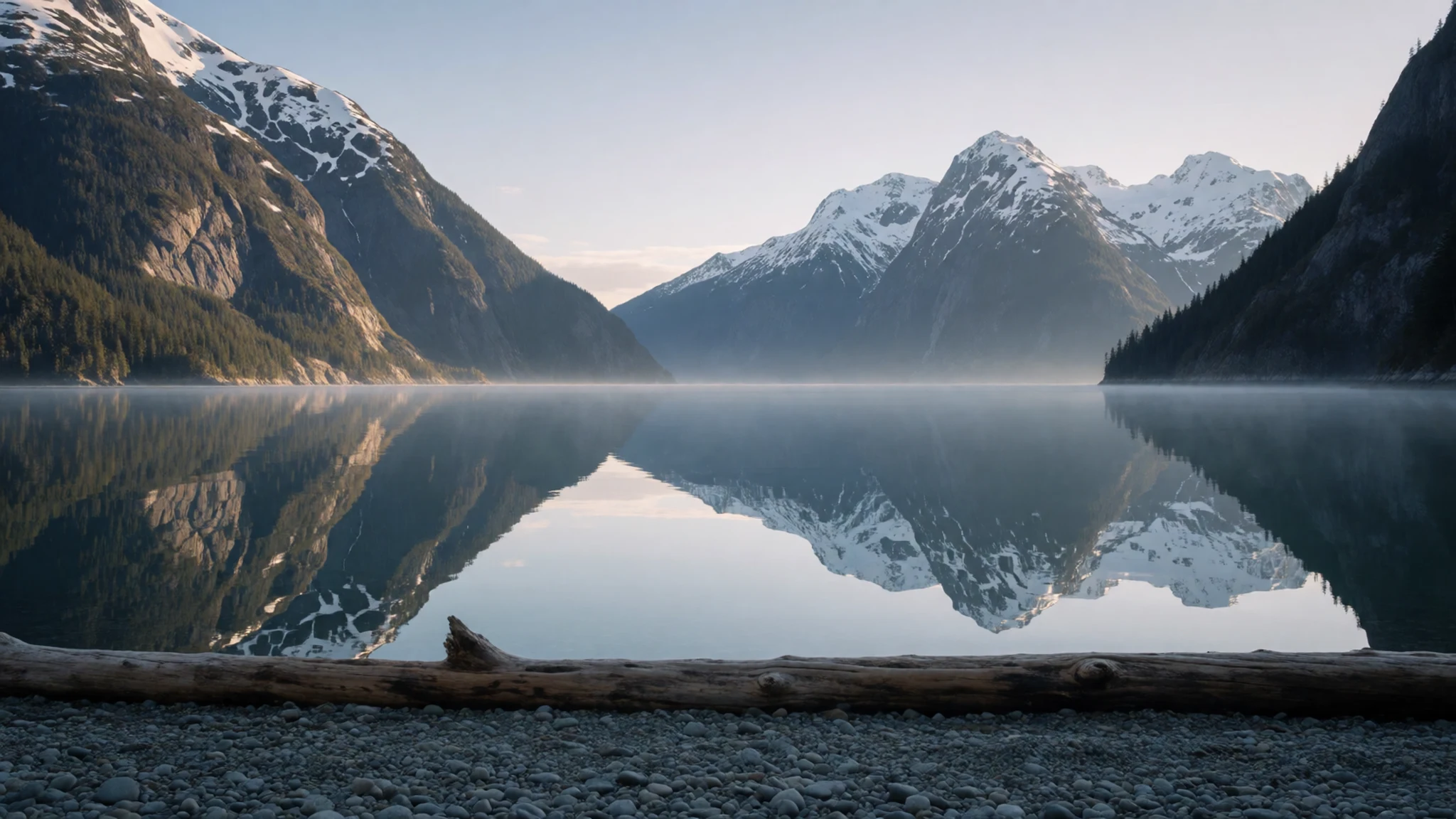
- Alsek River — National preserve, northwest of the park
The Alsek River and its major tributary, the Tatshenshini, are large, swift glacial rivers, and the Alsek runs through the national preserve northwest of the park. Rafting here is a serious undertaking, with fast current and cold water, and it is usually arranged through guided trips. Icebergs from the Grand Plateau Glacier often drift into Alsek Lake, which makes a striking sight from the shore.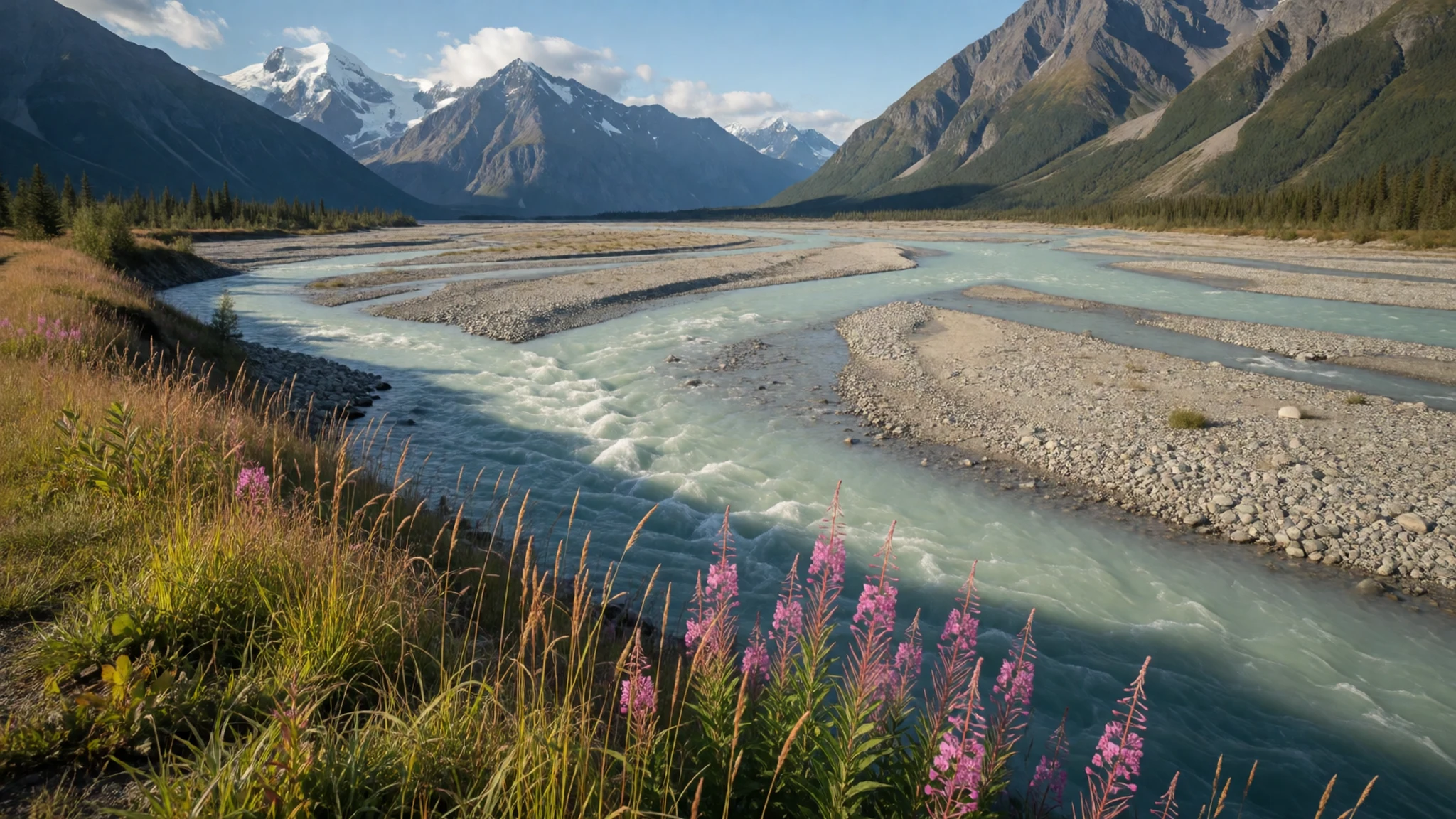
Culture
The land around Glacier Bay has been known to the Tlingit people for far longer than the park has existed. Since 1994 the National Park Service has worked with Hoonah and Yakutat Tlingit organisations in managing the protected area, so Tlingit names, guides and perspectives now appear in the park's programmes and on the water. Listening to local guides about the history and use of the land is one of the most rewarding parts of a visit. Wildlife is part of this cultural landscape too. Bears in the region are large and unpredictable, and most dangerous encounters begin with food, so rangers encourage visitors to keep their distance from animals and to never feed them. Some inlets are closed to motorised boats in summer, partly to protect animals and quiet water, and those closures deserve respect. Store food and rubbish out of a bear's reach and never leave scraps behind.
What to wear
Traditional dress in the Glacier Bay region comes from the Tlingit peoples of Southeast Alaska, whose woven textiles are among the best known on the Pacific Northwest coast. Chilkat weaving, made from mountain goat wool and shredded cedar bark, produced ceremonial robes and tunics with bold geometric designs. These garments were worn at feasts, dances and other formal occasions rather than in everyday life. Carved wooden hats and button blankets with appliquéd designs also belong to ceremonial settings, and some communities still make them for those occasions. Day to day, most people in the region dress much as people do across the north: layered outdoor clothing, waterproof jackets, fleece, sturdy boots and wool hats. For a visitor the advice is practical. Expect chilly, frequently damp and grey conditions, with nights that can drop almost to freezing, so pack clothing in warm layers that draw perspiration off your skin. Always carry a waterproof outer layer, a hat and gloves, even on bright days. Choose boots with good grip for wet trails and slippery rock, and leave cotton at home, since it stays cold and damp once soaked.
What to eat
- Glacier Bay Lodge dining room — Glacier Bay Lodge, Bartlett Cove
The lodge at Bartlett Cove runs the only restaurant inside the park, serving breakfast, lunch and dinner. The food is reasonably good and the menu is straightforward, which suits a day that starts early on the water. Hours can shift with the season, so check before you plan a meal around them.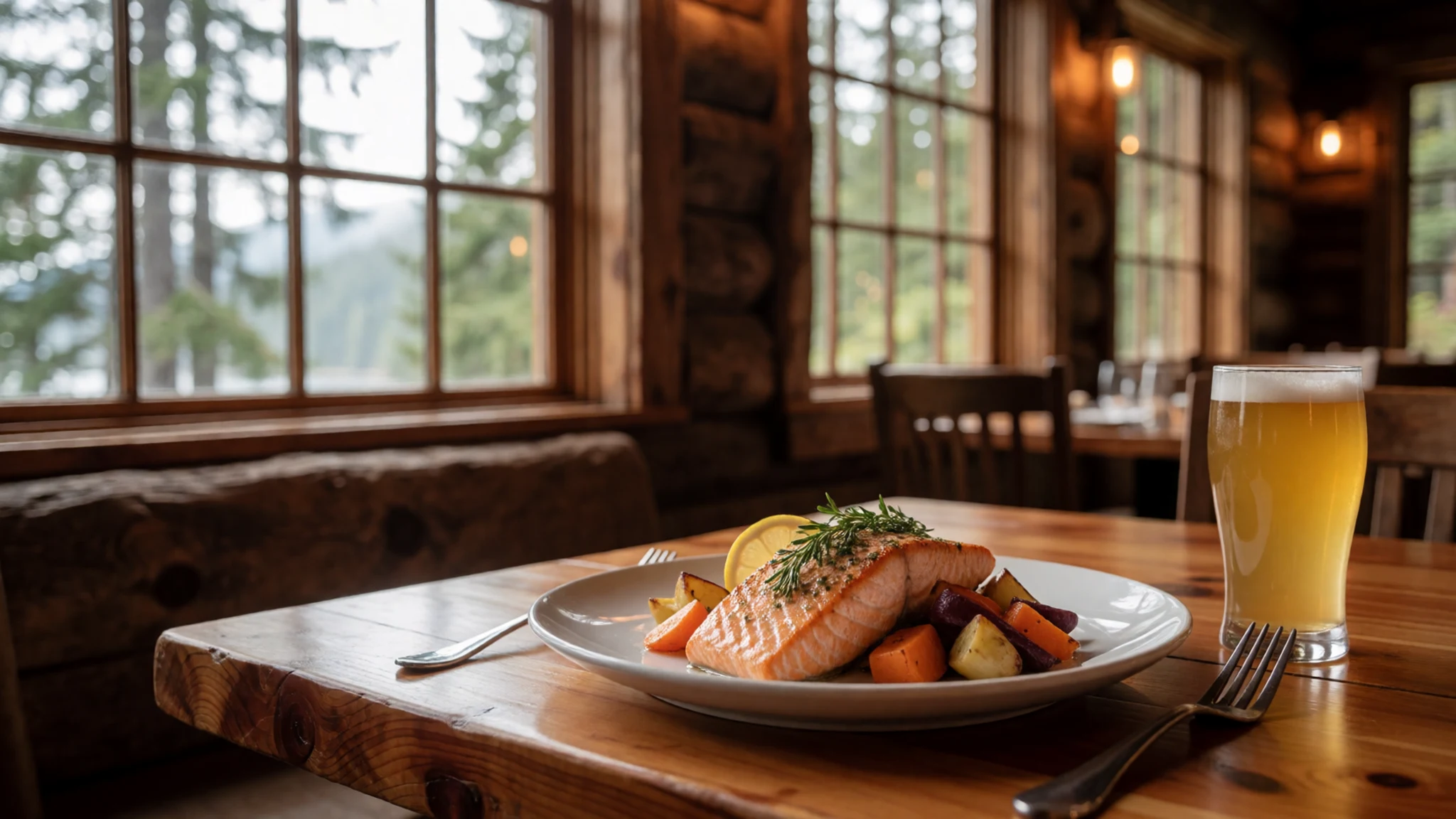
- Gustavus eateries — Village centre, Gustavus
The small village of Gustavus, a short drive from the park, has a handful of restaurants that offer a change from lodge food. Services in a village this size can be seasonal, so confirm opening days before you travel. Booking ahead is sensible in peak summer weeks.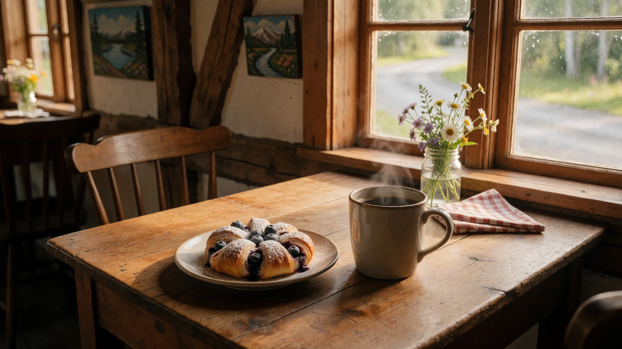
- Gustavus grocery shop — Village centre, Gustavus
Gustavus has a grocery shop where you can stock up on snacks, drinks and picnic supplies before heading out on a kayak or trail. The range is far more limited than in a city, so buy enough for the whole trip. Pick foods that keep well in damp weather. - Cruise ship dining rooms — Aboard cruise ships in the bay
Many visitors see the bay from a cruise ship, where meals are served on board as part of the fare. This suits anyone who wants to watch the glaciers from the water without leaving a warm cabin. Menus and dining times vary by cruise line, so ask your operator.
Plan it
Best time. Late May to September, when boats, kayak trips and ranger programmes run and the days are long. Expect rain and overcast skies, with July the warmest month at highs near 23 °C, October the wettest, and winter nights dropping to about -20 °C, so the season is about weather more than warmth.
How long. 2–3
Getting there. Alaska Airlines flies jets from Seattle via Juneau to Gustavus during the summer season, and small air taxis link Juneau and Gustavus year round. From Gustavus it is about 10 miles by road to park headquarters at Bartlett Cove. The Alaska Marine Highway ferry sails from Juneau to Gustavus about twice a week in summer.
Budget. high
Tips
- Book kayak guides, camper drop-off and cruise cabins well ahead for the summer season.
- Pack warm layers, a waterproof shell, a hat and gloves, even when the sky looks clear.
- Check tide times before paddling, since water levels can change by as much as twenty-five feet.
- Carry cash and cards, and bring extra food, because services in Gustavus are limited.
- Confirm current opening times, boating rules and services at nps.gov/glba before you travel.
Etiquette
- Keep food and rubbish sealed and away from wildlife at all times.
- Keep a respectful distance from bears, seals and whales.
- Observe seasonal closures on some inlets to motorised boats.
Nearby
Sources
- Wikidata Q261577 (CC0)
- Wikipedia: Glacier Bay National Park and Preserve (rev 1374713215) (CC BY-SA 4.0)
- Wikivoyage: Glacier Bay National Park (rev 5402808) (CC BY-SA 4.0)
- Photo: Glacier Bay National Park and Preserve sign (Rlogg) (CC BY-SA 4.0)
- Photo: Glacier Bay official park brochure map (U.S. National Park Service) (Public domain)
- Photo: Landsat imagery of Glacier Bay (NASA Goddard) (Public domain)
- Photo: Beautiful inlet in the West Arm of Glacier Bay (NPS) (Public domain)
- Photo: Sediments Creek Overlook (NPS) (Public domain)
- Photo: Aerial view of Gustavus, Alaska (NPS) (Public domain)
- Photo: Alaska aboard the Admiralty Dream (Christopher Michel) (CC BY 2.5)
- Photo: Alsek Lake icebergs from the Grand Plateau Glacier (NPS) (Public domain)


