Franz Josef Glacier
Franz Josef Glacier, New Zealand
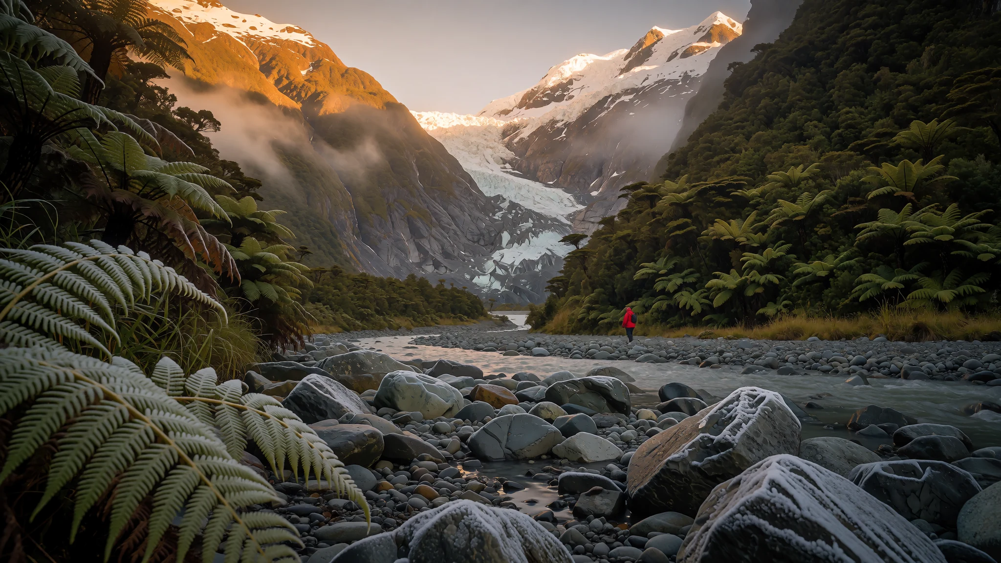
Franz Josef Glacier comes down from the Southern Alps almost to rainforest level, so ice and ferns can sit in the same view.
The place
Franz Josef Glacier is a temperate maritime glacier on the West Coast of New Zealand's South Island, about 12 kilometres long, running from the high snowfields of the Southern Alps towards the Tasman Sea. It lies within Westland Tai Poutini National Park, part of the Te Wāhipounamu World Heritage area, and the Waiho River flows out from its terminal face. Its unusual feature is how low it descends. Snow accumulates on a broad upper basin, then pours into a steep, narrow valley that drops quickly, so the ice reaches down to about 300 metres above sea level. Few glaciers survive at such a low altitude in the temperate zone, and this one shares its valley with a forest. The glacier is not static. It is currently pulling back from the coast, and its tongue advances and retreats with recent weather and longer trends, so the view changes from year to year. Cloud often sits on the upper slopes, which is why a flexible day suits most visits. The town of Franz Josef, a short distance from the ice, exists largely to serve people who come to see the glacier. The Māori name, Kā Roimata o Hine Hukatere, is used alongside the English one on signs and maps.
Its story
Franz Josef Glacier has been on the move for a very long time. About 18,000 years ago, near the end of the last ice age, it reached the present-day coastline and may even have pushed beyond it. As the climate warmed, the ice pulled back up the valley, leaving heaps of rock and ice rubble called moraines. Those ridges and mounds shaped the coastal hills and lakes that are still visible today. Two of these lakes tell the story in miniature. Lake Wombat is a kettle lake formed when a block of ice buried in a moraine melted roughly 9000 years ago, leaving a basin behind. Peters Pool, close to the glacier's face, formed in much the same way around 1805, a reminder that the ice has changed considerably even within the span of recorded European history on this coast. The most visible relic is the Waiho Loop, a moraine just north of the settlement of Franz Josef, deposited as the glacier withdrew over several thousand years. Its curve marks where the ice once stood, and the river now cuts through the debris the glacier carried down. The English name is the one on most maps, while the Māori name, Kā Roimata o Hine Hukatere, sits beside it and reflects the long connection between local iwi and these mountains and their ice.
What to see
- Glacier viewpoints at the valley head
The walk up the valley track leads to viewing areas where the lower tongue of Franz Josef Glacier fills the frame, grey and fractured, with forest pressing in on both sides. Go early in the day, when the cloud is often thinner and the path is quieter. The track is well formed, but it is uneven and sometimes slippery, so sturdy footwear matters more than fitness. Check current track conditions and any closures on the official site before you set out.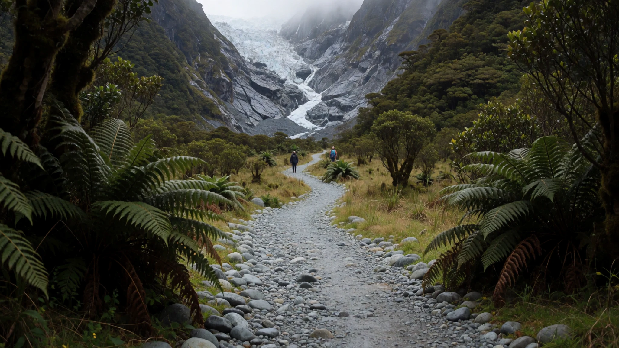
- Waiho Loop moraine
The Waiho Loop, a few kilometres north of the township, is the terminal moraine the glacier left as it retreated. It is a low, curving ridge of rock and gravel rather than a dramatic peak, and its shape makes the old extent of the ice easy to picture. It suits a relaxed walk or a stop on the way in or out. Bring a waterproof layer, because the weather on this coast can turn quickly.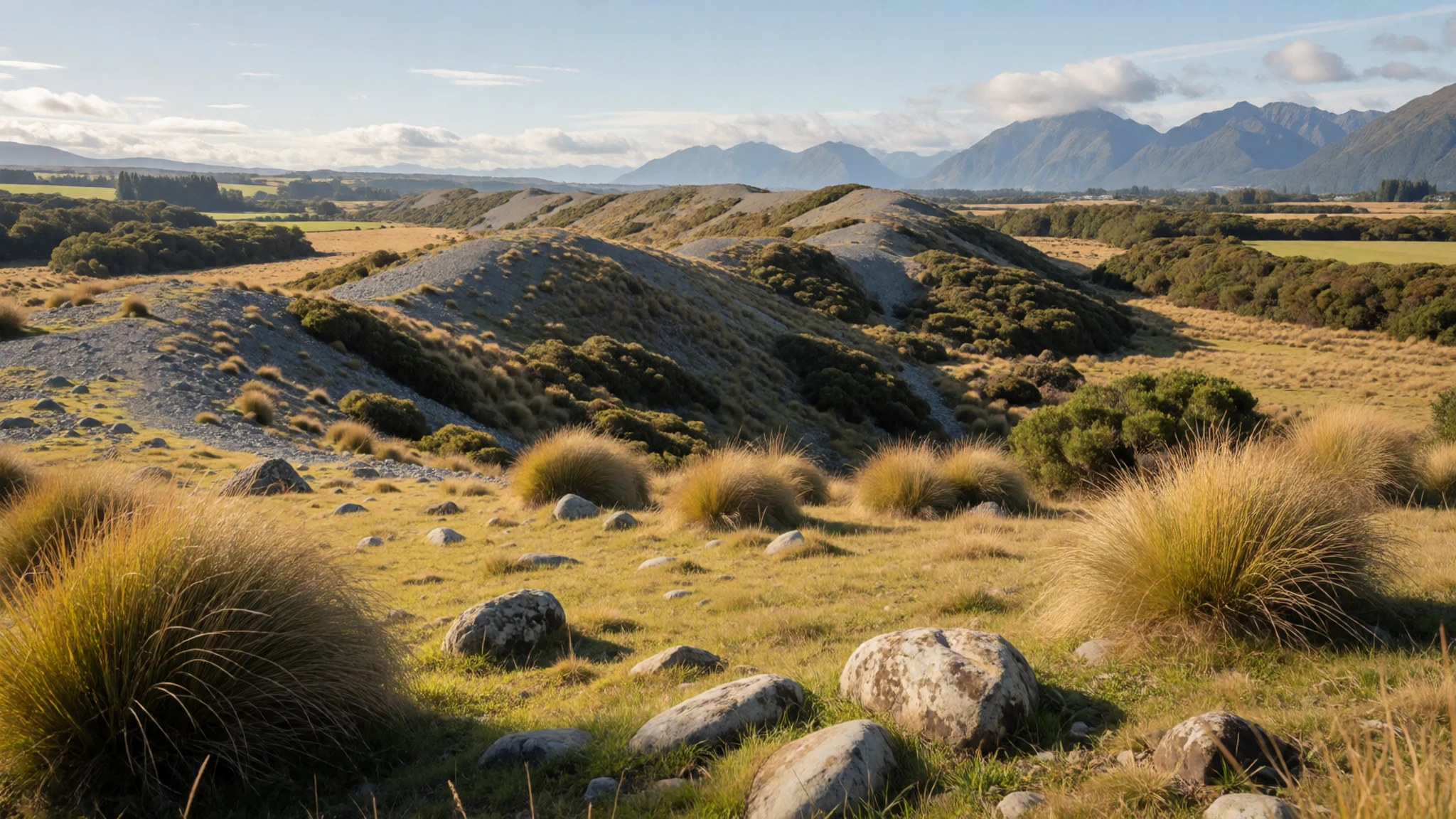
- Scenic flight over the névé
Helicopter and small-plane flights lift you above the upper icefall and the broad snowfield at the glacier's head. From the air you can see how the ice funnels into the narrow valley, and on a clear day the view extends to Aoraki Mount Cook. Flights are weather dependent and often cancelled, so book with a flexible day. Prices and schedules change, so check the operator's site directly.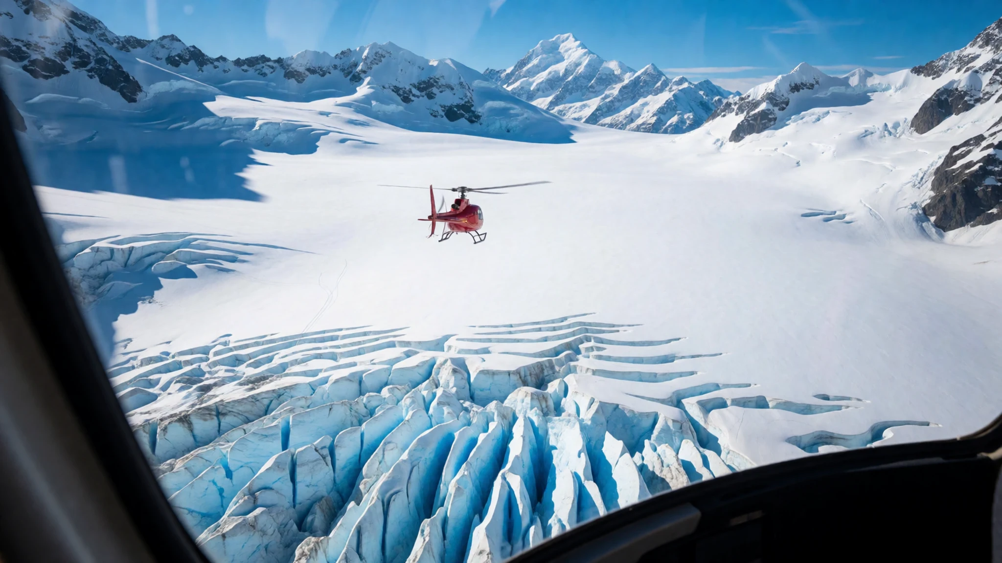
- Lake Matheson near Fox Glacier
Lake Matheson sits near Fox Glacier, a short drive south. On calm, clear mornings the lake becomes a near-perfect mirror, reflecting Mount Cook and Mount Tasman above the forest. Wind ruins the effect, so check the forecast the evening before. The loop walk around the lake is pleasant on a fine day and muddy after rain.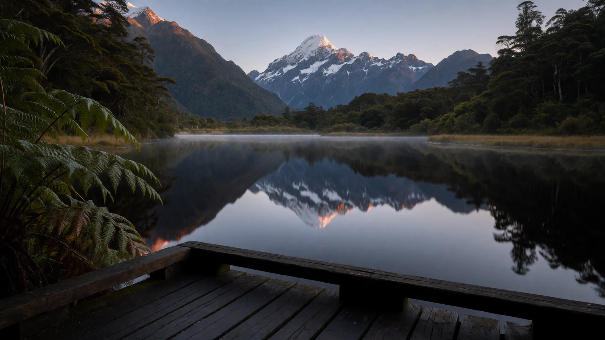
- Pancake Rocks and blowholes, Punakaiki
Punakaiki, further north along the coast, is known for the Pancake Rocks, layered limestone columns weathered into shapes that resemble stacked pancakes. Blowholes between the columns throw sea spray over the walkways, especially at high tide and in rough seas. On a fine day the coastline stretches south in both directions. Keep well back from the railings when the sea is up.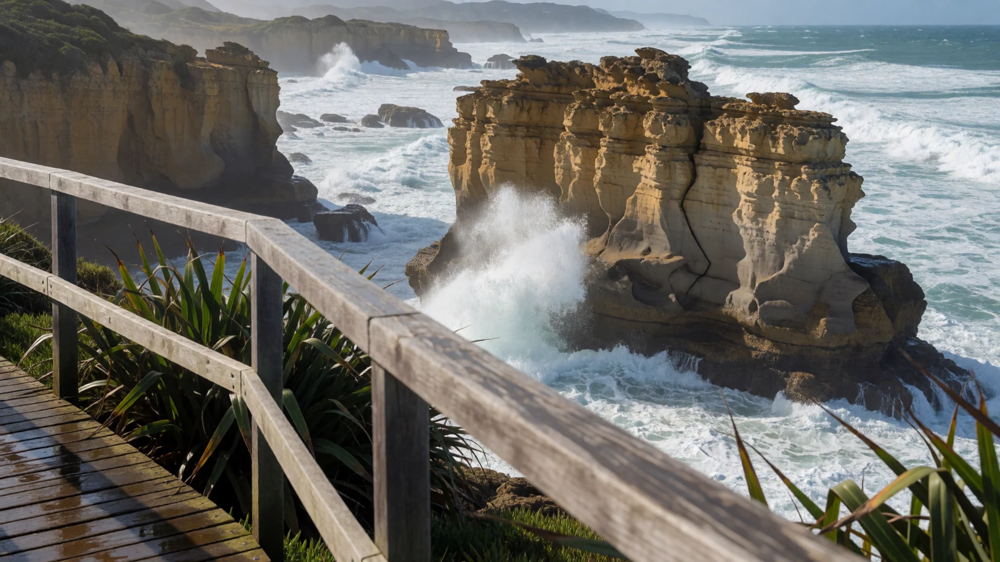
Culture
Franz Josef sits on Māori land and the glacier carries a Māori name, Kā Roimata o Hine Hukatere, that appears alongside the English one on signs and maps. Using both names, and pronouncing the Māori one with care, is a simple mark of respect. Local iwi regard the mountains, rivers and ice as part of a living landscape rather than scenery to be consumed, and this shapes how many people here talk about the glacier. The West Coast has a strong sense of independence and a relaxed, unhurried manner. Locals value straight talk about the weather and the track, and they take the mountains seriously because the region is isolated and emergencies can take time to reach. Visitors are generally welcome in the pubs, clubs and small shops of the township, where conversation is friendly and unfussy. Photograph the landscape freely, but ask before taking close pictures of people working at the tour operators or community events. Ice formations change daily, and some caves and overhangs can collapse without warning, so the operators' safety briefings are worth hearing in full. Keep to marked tracks and viewing areas, and do not walk onto the ice unless a licensed guide is leading you.
What to wear
Franz Josef Glacier sits in a landscape where Māori dress and the clothing of working people on the West Coast have developed side by side. Traditional Māori garments were made from woven harakeke (flax) fibre, and the finest cloaks, known as kākahu, were prized textiles, sometimes decorated with feathers or dyed borders. Such garments are worn today at ceremonies, celebrations and formal welcomes, not as everyday wear. Ordinary dress on the coast is practical and layered: wool and synthetic fleece, waterproof jackets, and sturdy boots. Many people wear merino base layers, which dry quickly and stay warm when damp. Visitors should dress for rapid changes in weather, with a waterproof shell, a warm mid layer and a light hat and gloves, because the temperature at the ice can be far lower than in the town. Footwear matters most. Wear boots with good grip for the valley track, and expect to use provided crampons and boots on guided ice walks. Avoid cotton as your main layer, since it holds moisture and cools you down. Modesty norms are relaxed here, though a respectful, tidy appearance is appreciated at marae and community events.
What to eat
- Whitebait fritters — a café or club in Hokitika, on the coast
Westland is the main source of whitebait, the tiny fingerlings of native fish, pan fried whole in an egg patty. The fritter is light, salty and best eaten hot, straight from the pan. It is a seasonal treat tied to the rivers and the coast. Look for it at a local café or a club in Hokitika, the coastal town best known for the dish.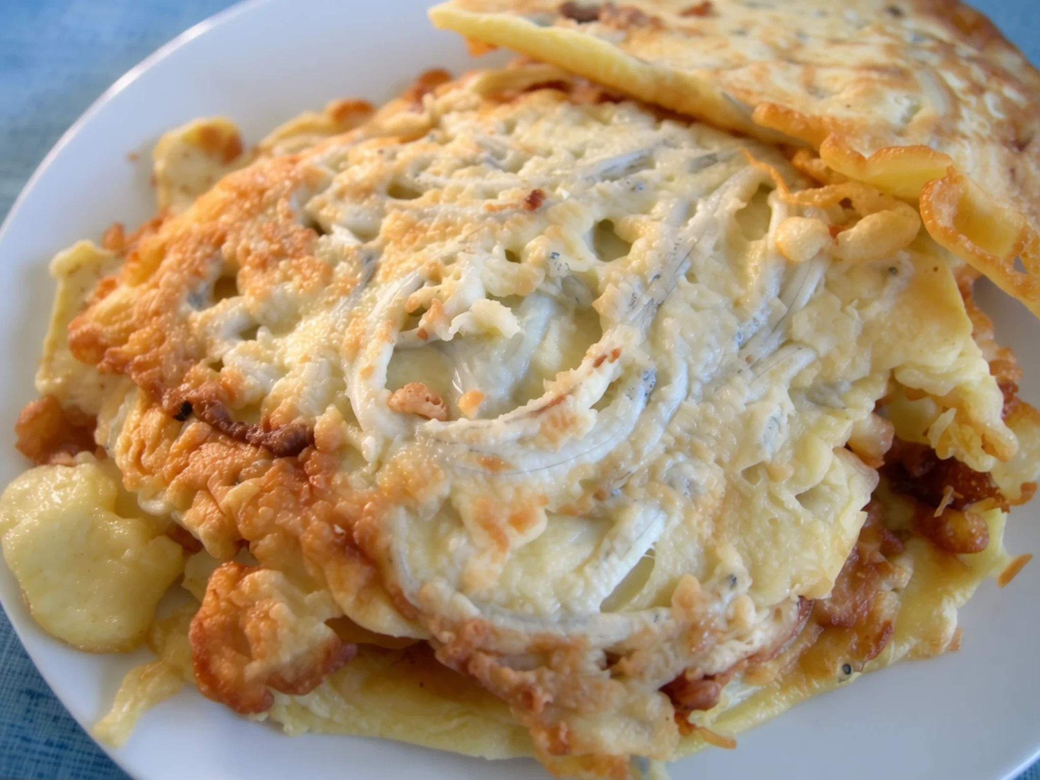
- Possum pie — a country pie shop or rural eatery on the West Coast
Possum pie is one of the wild meat dishes found on the coast. Local cooks make it in pastry, sometimes with a rich gravy, reflecting an older tradition of making use of game that was once abundant. It is a niche dish, so ask first before ordering. Look for it at a pie shop or a rural eatery in the region.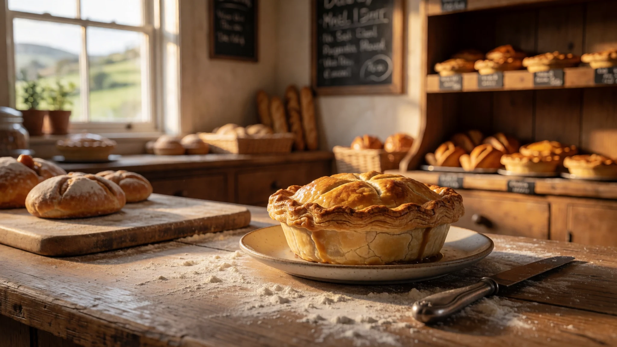
- Wild game stew — a local restaurant or pub kitchen in the township or Westport
Slow-cooked wild game stew is a hearty dish that appears on menus in the region, especially in colder months. It is often served with root vegetables and bread. It reflects the coast's hunting and foraging traditions. Ask at a local restaurant, since the dish changes with what is available. - Wild Foods Festival dishes — the Wild Foods Festival in Hokitika, held each March
The annual Wild Foods Festival in Hokitika, held in March, is the place to taste the coast's foraged and wild-harvested cooking in one spot. Stalls serve a mix of local game, seafood and foraged ingredients, and the atmosphere is informal and social. Check dates before you plan, since the festival happens once a year. - Club and pub meals — an RSA or workingmen's club, or a pub on Palmerston Street in Westport
The region's RSA and workingmen's clubs serve classic New Zealand plates at good value, such as roast dinners, steak and chips, and fish. Pubs on Palmerston Street in Westport are popular for evening meals and a beer. Eat early, since kitchens here often close before late evening.
Plan it
Best time. June to August brings the most settled weather for walks and flights, though days are short and the high country is snowy, while December is the wettest month. Expect cloud and rain at any time of year, since the coast is wet and mild. Winter brings snow to the high country and fewer flights, though the glacier is still visible.
How long. 2–3
Getting there. Fly from Christchurch to Hokitika, or from Wellington to Westport, then drive the coast road; the township is reached by road from either base. Check flight schedules and the operator's transfers before booking.
Budget. mid
Tips
- Book scenic flights and guided ice walks early in peak season, and keep a spare day in case weather cancels them
- Check the forecast the evening before, especially for Lake Matheson and the valley track
- Start walks early, when the cloud is often thinner and the tracks quieter
- Carry cash for small cafés and markets, and use cards where you can
- Carry water and warm layers on the track, since the town is the only shop nearby
Etiquette
- Stay on marked tracks and viewing areas and keep away from ice cliffs and overhangs
- Use the Māori name, Kā Roimata o Hine Hukatere, with care, and respect it on signs
- Leave no rubbish and take your litter with you on tracks and beaches
Nearby
Sources
- Wikidata Q673150 (CC0)
- Wikipedia: Franz Josef Glacier (CC BY-SA 4.0)
- Wikivoyage: West Coast (New Zealand) (CC BY-SA 4.0)
- Franz Josef Glacier, Southern Alps (photo, Jörg Hempel) (CC BY-SA 3.0 de)
- Looking down the Franz Josef Glacier from above the Melchior Glacier (photo, Avenue) (CC BY 3.0)
- Upper part of the track, the glacier in 2016 (photo, Szilas) (CC BY-SA 1.0)
- Franz Josef Glacier, Kā Roimata o Hine Hukatere (photo, lumoplank) (CC0)
- New Zealand Railway poster, Franz Josef Glacier c.1932 (Archives New Zealand) (CC BY-SA 2.0)
- Lower part of Franz Josef Glacier (photo, Pseudopanax) (Public domain)
- Franz Josef Glacier panorama (photo, Tobias Kierk) (CC BY 3.0)
- Aoraki / Mount Cook view from helicopter with Franz Joseph Glacier below (photo, David Wipf) (CC BY 2.5)


