Fish River Canyon
Fish River Canyon, Namibia
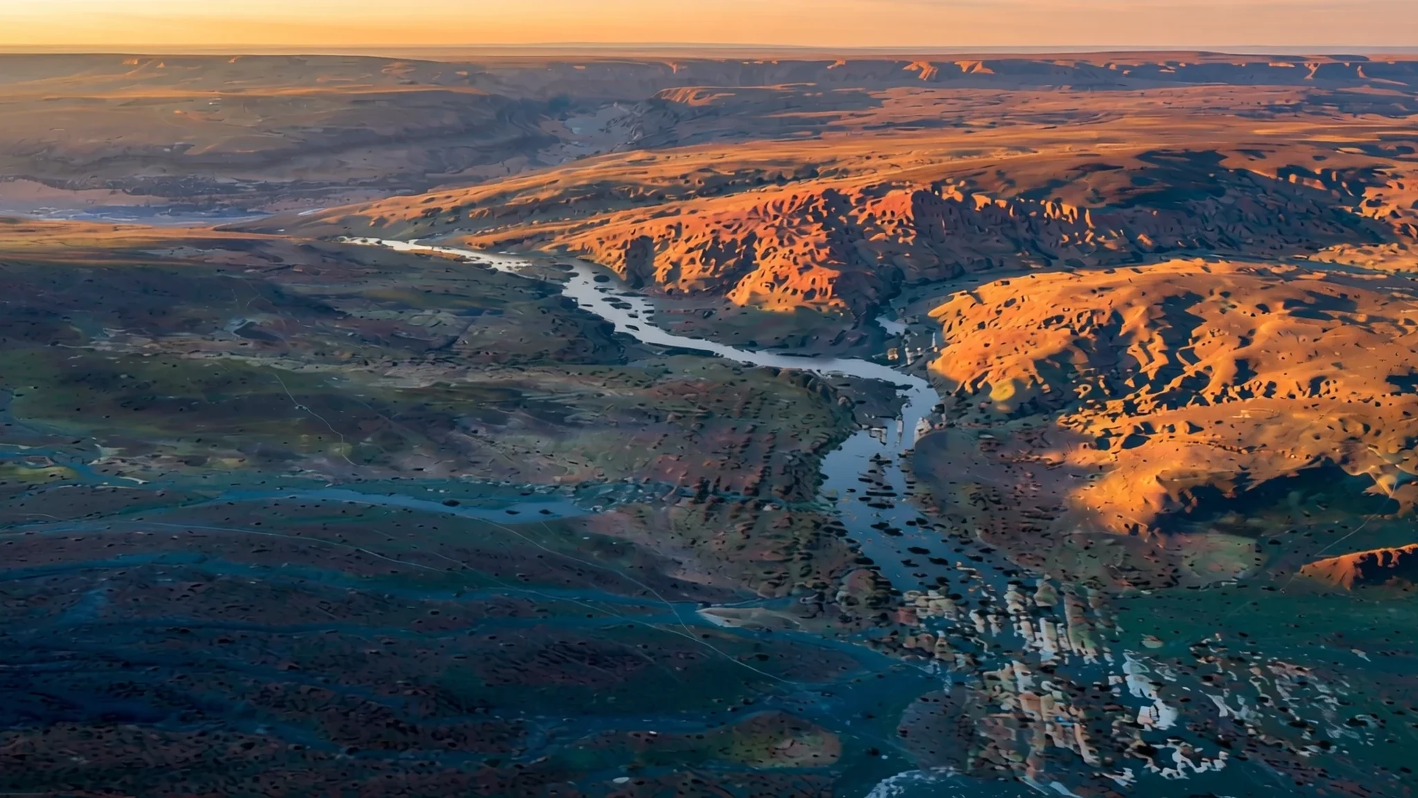
Few landscapes in Africa feel as vast and quiet as the Fish River Canyon, a deep gorge in southern Namibia that rewards both a short rim visit and a long walk.
The place
The Fish River Canyon sits in the south of Namibia, cut into a high plateau that today looks dry, stony and thinly covered with tough, drought-tolerant plants. Its scale is what strikes people first. The gorge runs for roughly 160 km, reaches up to 27 km across, and its walls drop almost 550 m to the riverbed. The river that carved it, the Fish, is the longest interior river in Namibia, yet it rarely behaves like a major waterway. It floods mainly in late summer, and for the rest of the year it breaks into a string of long, narrow pools that linger long after the rain has gone.
The canyon is really two landscapes. Upstream, hard gneiss bedrock slowed the river's erosion, so the upper gorge is broader and more open. Downstream, the lower canyon has been cut through older metamorphic rock into a tight, looping system of bends that is hard to follow from above. Only the section around Hobas, to the north, lies within the Ai-Ais/Richtersveld Transfrontier Park; the rest is privately owned. The hot springs resort of Ai-Ais sits at the lower end, and it is where hikers usually finish after walking the riverbed for days.
Most visitors come for the views from the rim, for the long hike, or both. The lookouts near Hobas are the easiest to reach. Plan around the terrain: the land is open, the sun is fierce, and there is little shade away from the rocks, so the rim is best seen early or late in the day.
Its story
The Fish River Canyon's story begins long before any road reached it. Around 650 million years ago, movement in the earth's crust opened a long north–south trough, and the ancient Fish River found a line along which it could flow. Over time it wore away a broad, flat plain, and that plain became the upper canyon. Glaciers arrived around 300 million years ago during the Karoo Ice Age, cutting deeper into the rock and leaving the gorge sharper than it had been.
The larger change came around 60 million years ago, when South America and Africa drifted apart. Africa was lifted upward, and the river suddenly fell more steeply toward the sea. That extra energy let it bite into the hard gneisses of the lower reach, which is why the lower canyon winds so tightly, looping back on itself in a way the upper canyon does not. The rock you see from the rim is a record of these phases: horizontal dolomite strata upstream, older metamorphic bands below, and the twisting cut between them.
People have known the canyon for a long time, though its formal protection is more recent. Both parts were declared a national monument in 1962, which shaped how the gorge is visited today. Much of the land remains privately owned, and the park arrangement around Hobas is a later layer on top of the geology. Hikers now walk the old riverbed from one end to the other, and that long walk tells the story better than any single viewpoint.
What to see
- The main viewpoint near Hobas — Hobas, northern section of the canyon
The lookouts near Hobas are the easiest to reach. A normal car can make the trip, though the access road is rough and dusty. Arrive in the early morning or late afternoon, when low light picks out the layers in the rock. Expect a small entrance fee at the gate, and check the official site for current charges before you set out.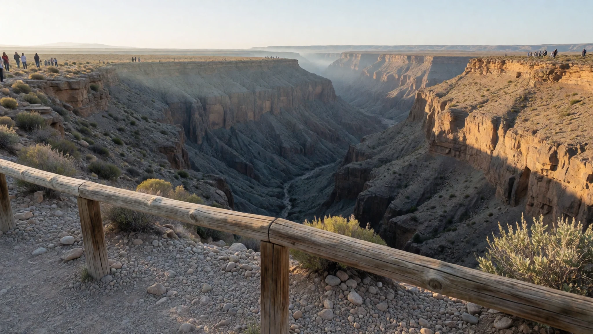
- Flying over the canyon — Light aircraft from airstrips at Ai-Ais and around Keetmanshoop
Seeing the gorge from the air shows how its bends and side ravines fit together, something the rim cannot quite reveal. Private and charter flights use airstrips at Ai-Ais, Fish River Lodge and the towns of Keetmanshoop and Bethanie. Flights are a splurge, so compare operators and book ahead, and choose a clear morning, since haze and wind can spoil the view.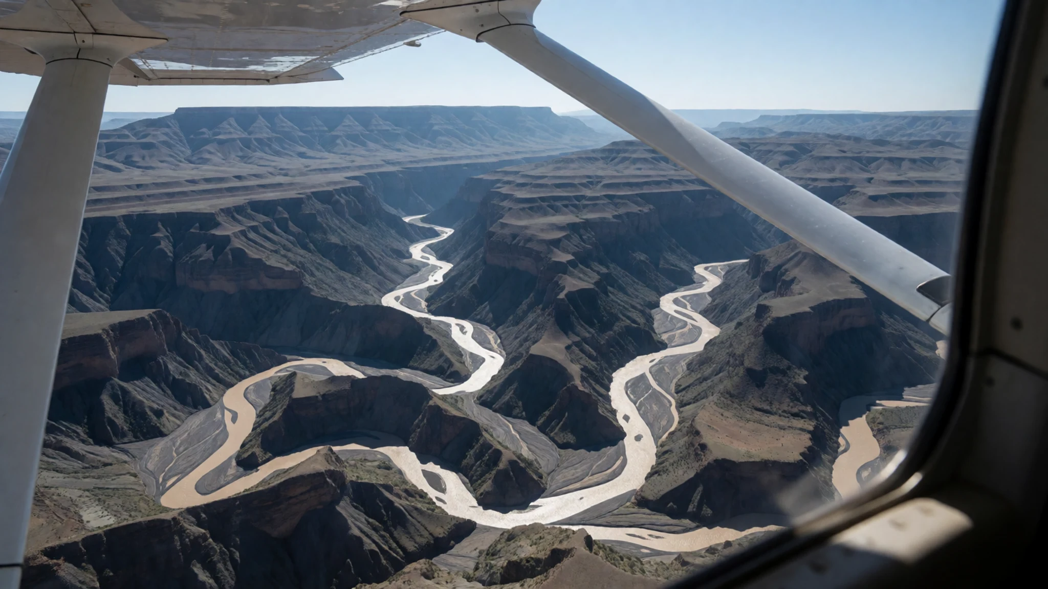
- The southern viewpoint — Southern rim, about 10 km from the main lookout
A spot roughly 10 km south of the main viewpoint gives a different angle on the same gorge. The view is not better, just different, which suits people who have already seen the classic lookout. The track needs a rugged vehicle, so a standard car may struggle. Take water and a plan for turning back, and check conditions locally before you set off.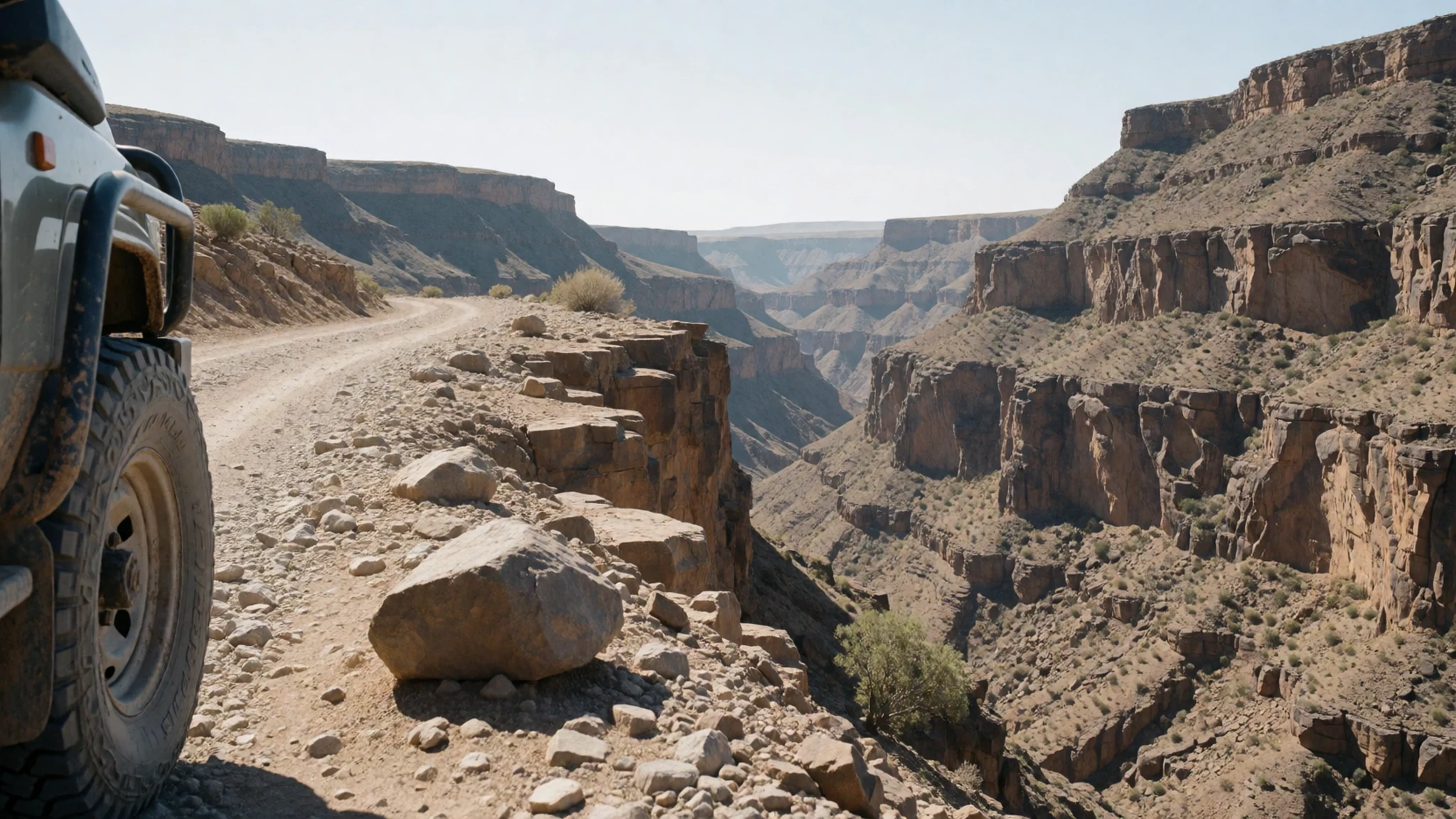
- The Fish River Canyon Trail — Hobas to Ai-Ais, along the riverbed
The Fish River Canyon Trail is a tough hike and a well-known one in southern Africa. It covers about 85 km from Hobas to Ai-Ais, and walking permits are issued only from 1 May to 15 September, in groups of 3 to 20. Everyone needs a doctor's permit form, which cannot be downloaded, so arrange it well before you travel. Carry all your food and gear, and expect several days on foot.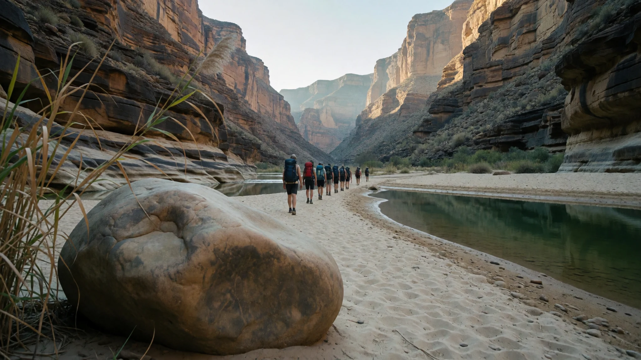
- The rough middle section — The lower reaches of the trail, near Wild Fig Bend
Between river crossings and bends the trail gets rough. Boulders before Wild Fig Bend slow walkers down, and river stones make every crossing a balancing act. Sandy stretches offer a break. Wear shoes with good grip, and treat any water from the pools before drinking it.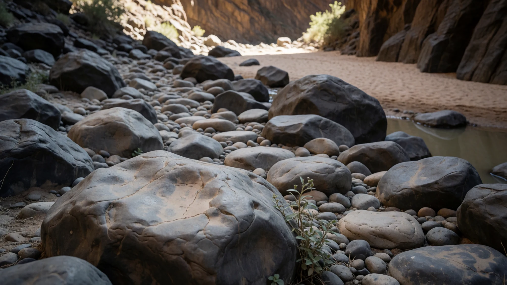
Culture
The Fish River Canyon sits on land shaped by Namibia's mix of Nama, Herero, Afrikaans-speaking and German-speaking history. Much of the surrounding country is private farmland and reserve, so the rules you meet at a gate or lodge are part of daily life there rather than tourist formalities. The park arrangement at Hobas covers the public viewpoints, and the trail runs through land managed with permits and group limits.
Hiking the canyon is a serious undertaking, and the rules exist for good reason. Walkers need a doctor's permit, travel in groups, and carry everything except water. Hobas has no doctor, so plan ahead. Respect for the place also means treating the river and its pools with care, since drinking untreated water is risky, especially in dry years.
Greetings matter in southern Namibia. Begin a conversation with a simple greeting before asking a question, and wait for people to be ready before you raise a camera. At campsites, keep noise low after dark. Stay on the signed paths at the rim, because the edges are steep and unstable. Ask before photographing anyone you meet, and carry all your litter out with you.
What to wear
The Fish River Canyon lies in southern Namibia, where traditional dress reflects the region's Nama and Herero heritage. Nama and Herero women both adopted long, Victorian-style dresses during the colonial era, and Herero women are known for a tall, horn-shaped headdress called otjikaiva. Cotton has been the everyday textile for these dresses, with wool used for warmth and leather appearing in traditional adornment and footwear.
Today most people dress much as they would anywhere: jeans, shirts, work boots and jumpers, with traditional dress kept for ceremonies, festivals and formal occasions. Farm workers and herders often wear practical clothing suited to long days in the sun.
A visitor to the Fish River Canyon should dress for heat by day and cold by night, especially outside the summer months. Light, long-sleeved layers protect against sun and rock scrapes. A wide-brimmed hat and sunglasses help on the rim, and sturdy closed shoes with good grip are essential for the boulders and river stones on the trail. Carry a fleece or warm jacket for early mornings and evenings.
What to eat
- Braai — Campsite and lodge braai areas near Hobas and Ai-Ais
The braai, Namibia's open-fire barbecue, is the default way to cook dinner at campsites and lodges. Expect wors (sausage) and chops grilled over coals, often with a pap side dish. Many campsites provide a braai area, but bring your own fuel and meat unless the lodge serves it.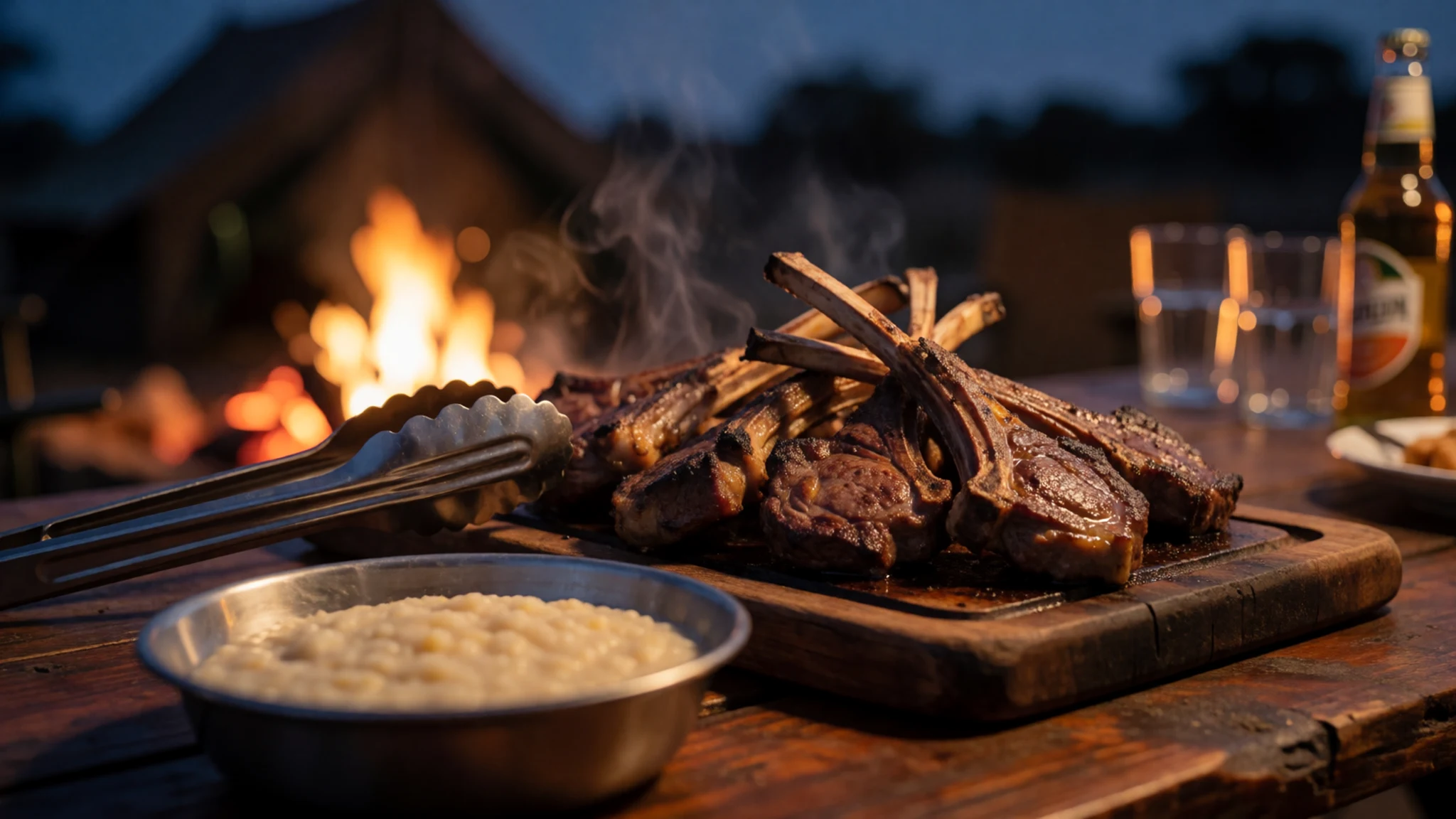
- Potjiekos — Campsite fire pits and farm kitchens across the south
Potjiekos is a slow stew cooked in a cast-iron pot over coals. Meat, potatoes, carrots and onions go in layer by layer, and the pot is left alone rather than stirred. Bring a small pot and a bag of coal if you plan to cook this way.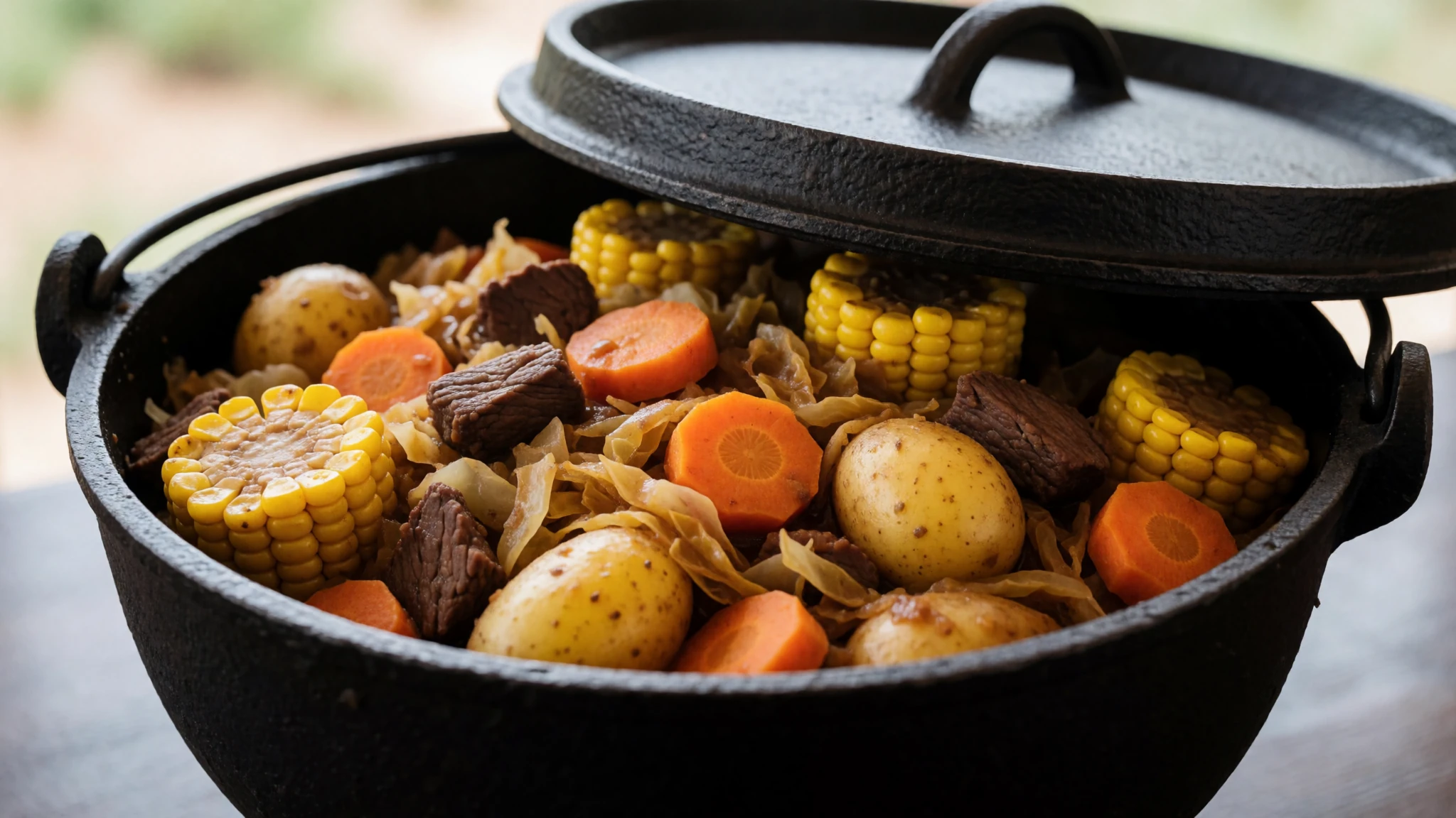
- Kapana — Street stalls in the larger towns along the drive in
Kapana is strips of beef or game grilled over an open fire and sold from street stalls. It is quick and cheap, best eaten standing up. Stalls like this cluster in the busier towns, so eat it on the drive in rather than expecting it at the canyon itself. - Biltong — Butchers and farm shops in the towns on the way in
Biltong is air-dried, cured meat that suits walking. Buy it from a butcher or farm shop in the towns on the way in, and pack it in a sealed bag.
Plan it
Best time. At the Fish River Canyon, hiking permits are issued only from 1 May to 15 September, and the dry months from May to September suit both walking and driving. The river usually floods in late summer, when rain can make the pools and crossings unreliable. Nights are cold in the middle of the year.
How long. 2–3
Getting there. To reach the Fish River Canyon, fly into Windhoek, then drive south. The last leg is by car from Keetmanshoop, on the main highway and then smaller roads to the viewpoints. Lüderitz and Keetmanshoop are the nearest towns with places to stay.
Budget. mid
Tips
- Arrange the doctor's permit form early, since it cannot be downloaded and the Hobas office cannot supply a doctor
- Start walking at first light, when the air is cooler and the rock is easier to handle
- Carry plenty of water, and treat water from the pools, especially in dry years
- Pack a small stove, because firewood can be scarce and the river water should be boiled
- Carry some cash for park fees, and check the official site for accepted payment methods before you arrive
- Check that the river is flowing before choosing a route, since late summer floods can close crossings
Etiquette
- Ask permission before photographing staff or other people at campsites
- Take all rubbish out with you, from the rim to the trail
- Respect the private land boundaries and the rules of any reserve where you stay
Nearby
Sources
- Wikidata Q1420196 (CC0)
- Wikipedia, Fish River Canyon (rev 1376912819) (CC BY-SA 4.0)
- Wikivoyage, Fish River Canyon Park (rev 5314177) (CC BY-SA 4.0)
- Fish River Canyon, Namibia (Thomas Schoch) (CC BY 3.0)
- Fish River Canyon from Main View Point (RudiBosbouer) (CC BY 3.0)
- Fish River Canyon Bird's eye view (Hp.Baumeler) (CC BY-SA 4.0)
- Fish River Canyon - Towards Wild Fig Bend (RudiBosbouer) (CC BY 3.0)
- Fish River Canyon - Sand at descend (RudiBosbouer) (CC BY 3.0)
- Fish River Canyon - Boulder section before Wild Fig Bend (RudiBosbouer) (CC BY 3.0)
- Fish River Canyon - River stones (RudiBosbouer) (CC BY 3.0)
- Fish River Canyon - Last stretch of hike (RudiBosbouer) (CC BY 3.0)


