Fiordland National Park
Fiordland National Park, New Zealand
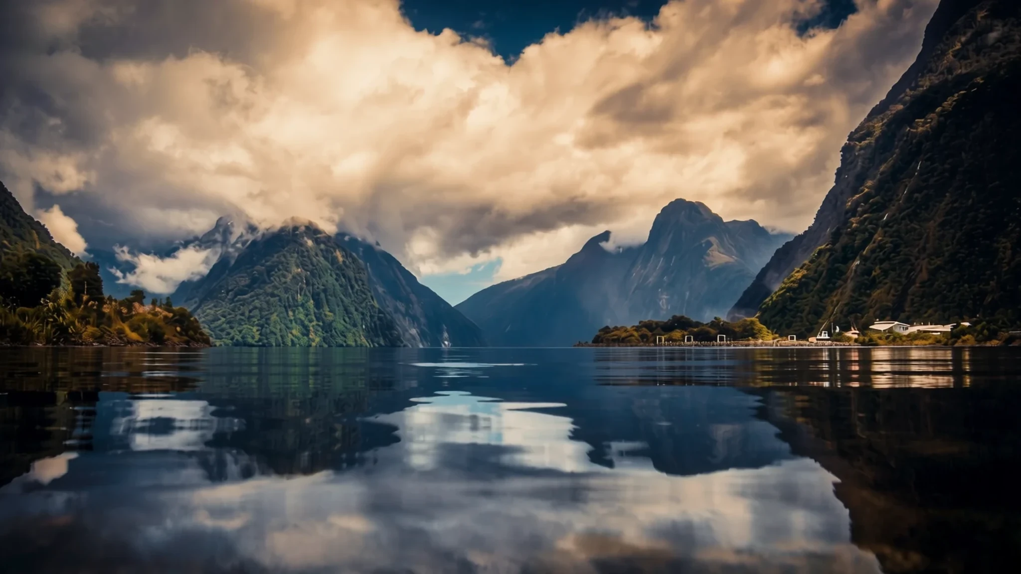
Fiordland is New Zealand's largest national park, a glacier-carved wilderness of deep fiords, steep forest and high peaks in the south-west of the South Island.
The place
Fiordland National Park fills most of the south-west corner of New Zealand's South Island. At about 12,607 square kilometres it is the largest of the country's 13 national parks, and it takes in almost half of Te Wāhipounamu, a World Heritage area recognised in 1990. The Department of Conservation administers the park, and its visitor centre in Te Anau is the place to check tracks and conditions before setting out.
Most of the land belongs to the southern Alps, a mass of ranges and deep valleys that is hard to enter on foot. The park's recorded elevation is 1,063 metres, but the real impression comes from relief rather than height: peaks above 2,500 metres stand in the Darran Mountains, while the sea sits at the foot of cliffs that drop straight into the water.
The coast is the park's signature. Glaciers once gouged out long, narrow inlets, and some of the 15 fiords reach as far as 40 kilometres inland. Rain falls often, and weather coming off the Tasman Sea can turn from sunshine to storm within hours, so the same view can look entirely different on consecutive days.
Wildlife is a major reason the park is protected. It shelters threatened native species, including the takahē, kākāpō, mōhua and southern brown kiwi, along with dolphins and bats.
Access is the main constraint. Milford Sound is the most visited of the fiords, reached by road from Te Anau. Doubtful Sound is quieter and is usually reached by boat from Manapouri. Beyond these corridors the park has few roads and almost no facilities, so most visitors either take a boat, a short walk or a guided trip.
Its story
Fiordland's human history begins with Māori, and its fiords have been part of that story for centuries. The Waitaha were among the earliest people on the South Island, later joined by Kāti Māmoe and then Ngāi Tahu, whose presence in the region can be traced back more than 600 years. The rugged coast, with its forests, birds and shellfish, offered shelter and supplies to people moving through the area.
Iwi visited seasonally to fish, hunt and collect greenstone around Milford Sound, but few settled permanently. Oral traditions explain the landscape in their own terms. One tells of Tū Te Rakiwhanoa, who cut the indentations into the coast so it could be lived on. Another credits Hine-nui-te-pō with creating the sandflies, a nuisance said to stop people growing idle and to guard the land against too much easy beauty.
European contact came late and briefly. In March 1770 Captain James Cook, sailing HMS Endeavour, circled the South Island and pushed towards the south-west, but turned away as the season ran on, leaving the fiords largely unmapped for decades.
Glaciers did most of the shaping. When the ice retreated after the last ice age it left U-shaped valleys with sheer walls, and the valleys filled with seawater to become fiords.
The park was established in 1952. In the 1960s a proposal to raise the level of Lake Manapouri, to boost hydro-electricity at West Arm, set off a long argument over conservation and development that shaped how the area is protected today.
What to see
- Milford Sound — Milford Sound, at the western end of the Milford Road
Milford Sound, known in Māori as Piopiotahi, is the most famous and most visited fiord in the park, and the destination most visitors have in mind. The road in from Te Anau passes through steep valleys and tunnels, and the fiord itself is framed by sheer walls and waterfalls that multiply after rain. Cruises run from the village, and early sailings tend to be quieter than midday departures. Expect cold wind on deck even in summer.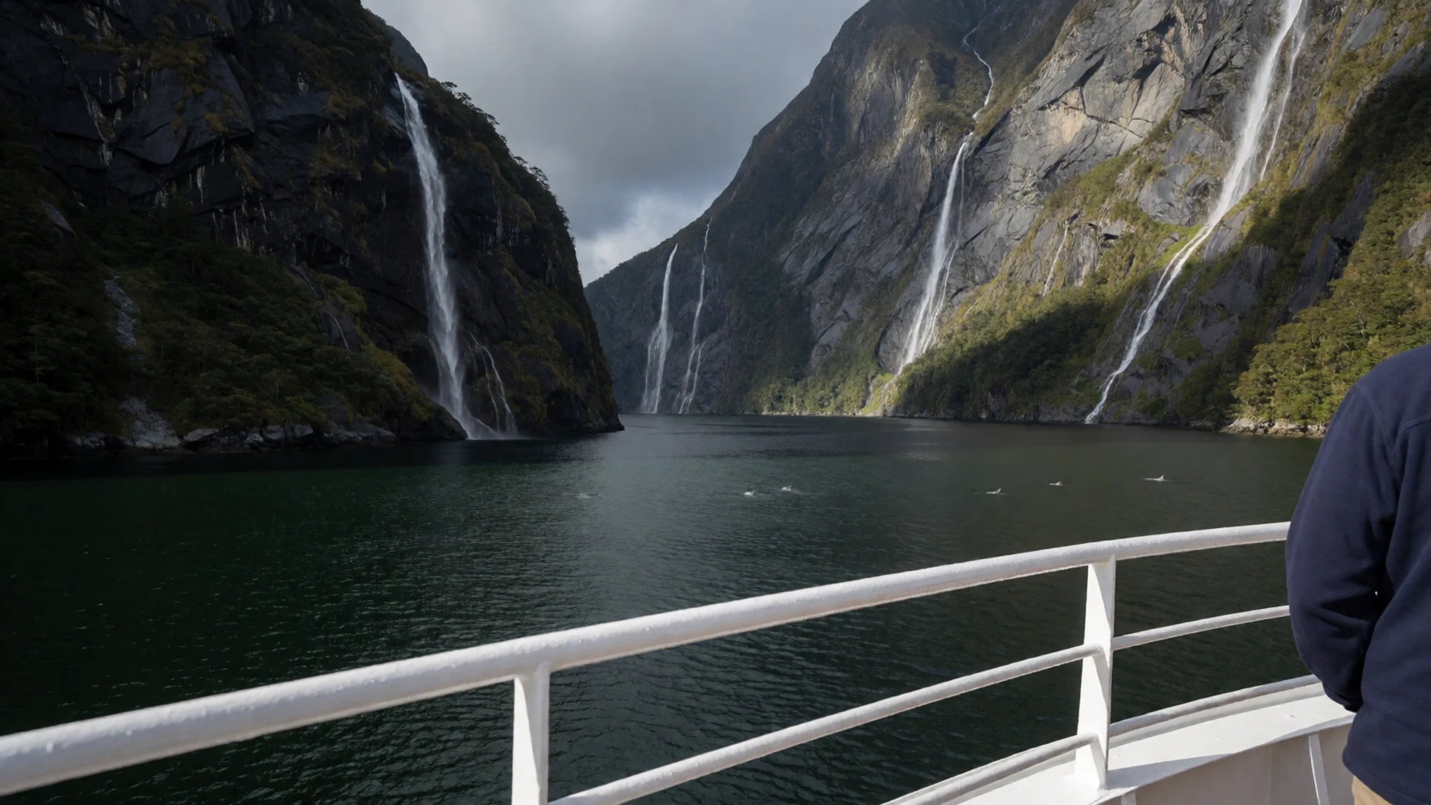
- Sutherland Falls — Milford Road corridor, the Arthur Valley side
Sutherland Falls drops about 580 metres, making it one of the highest waterfalls in the world. The walk to its base runs through forest, and the falls are at their most dramatic after heavy rain. Spray can be strong near the bottom, so bring a waterproof layer and expect wet, slippery footing on the track.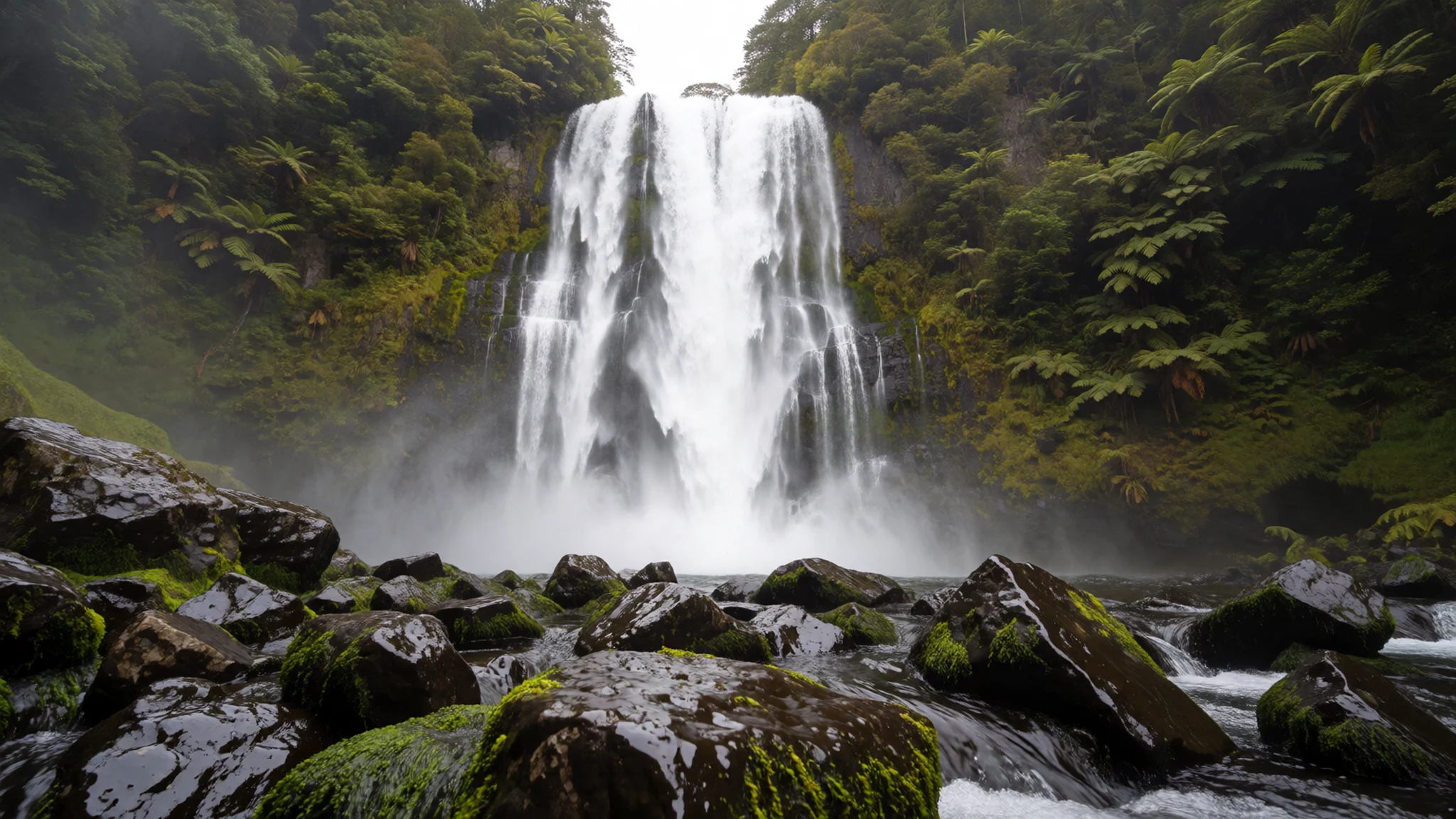
- Doubtful Sound — Manapouri, with the bus and boat route to Deep Cove
Doubtful Sound, also called Patea, is reached through Manapouri rather than from the Milford Road. Boats leave Manapouri daily, and the trip includes a bus over Wilmot Pass to Deep Cove, which gives a useful view of the lake and the country in between. Many visitors find the sound quieter than Milford, a welcome contrast after a busy day.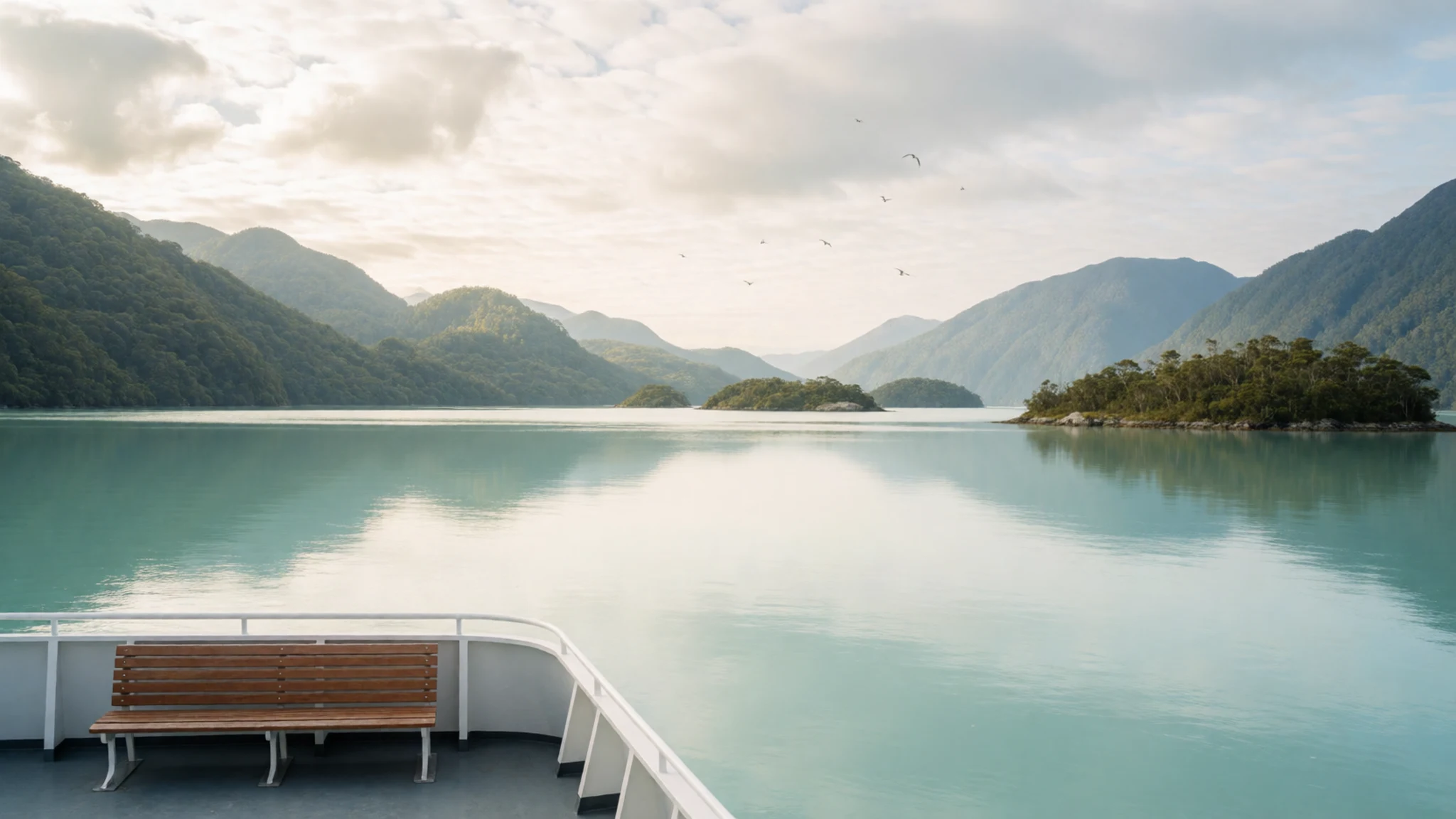
- Lake Te Anau and Te Ana-au caves — Te Anau township, on the lakeshore
Lake Te Anau is the base for most trips into the park, a broad lake with mountains on the far shore and the township of the same name on its edge. Te Ana-au caves lie across the lake and can be visited on a guided trip, a sensible option on a day when the weather is poor.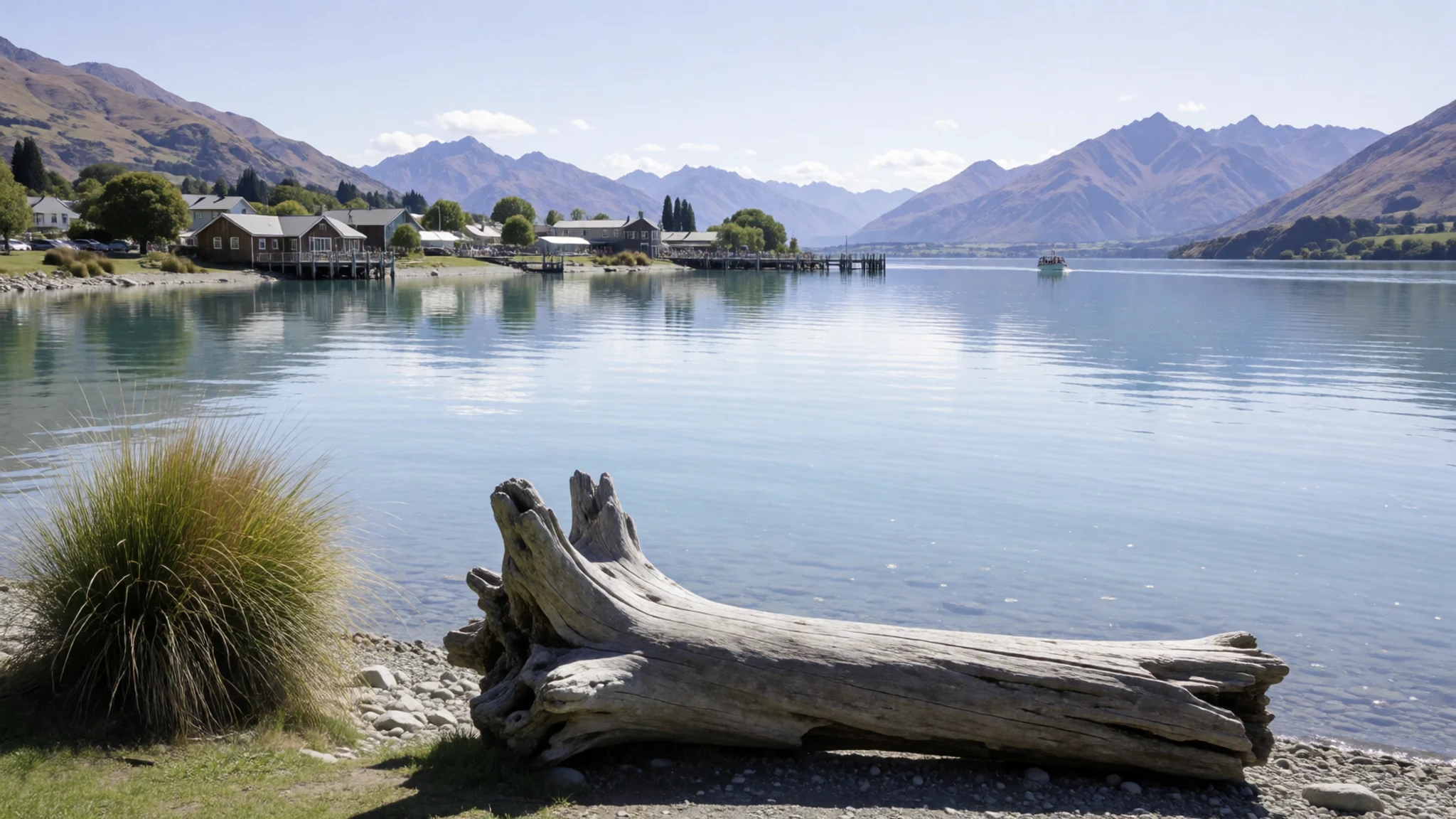
- Kepler Track — Te Anau, the start of the loop
The Kepler Track is a multi-day loop walk that starts near Te Anau, with huts and campsites along the route. Huts need advance booking in busy periods, and the Department of Conservation advises checking current conditions at an information centre before starting. Day walkers can tackle a short section near the lake and return the same way.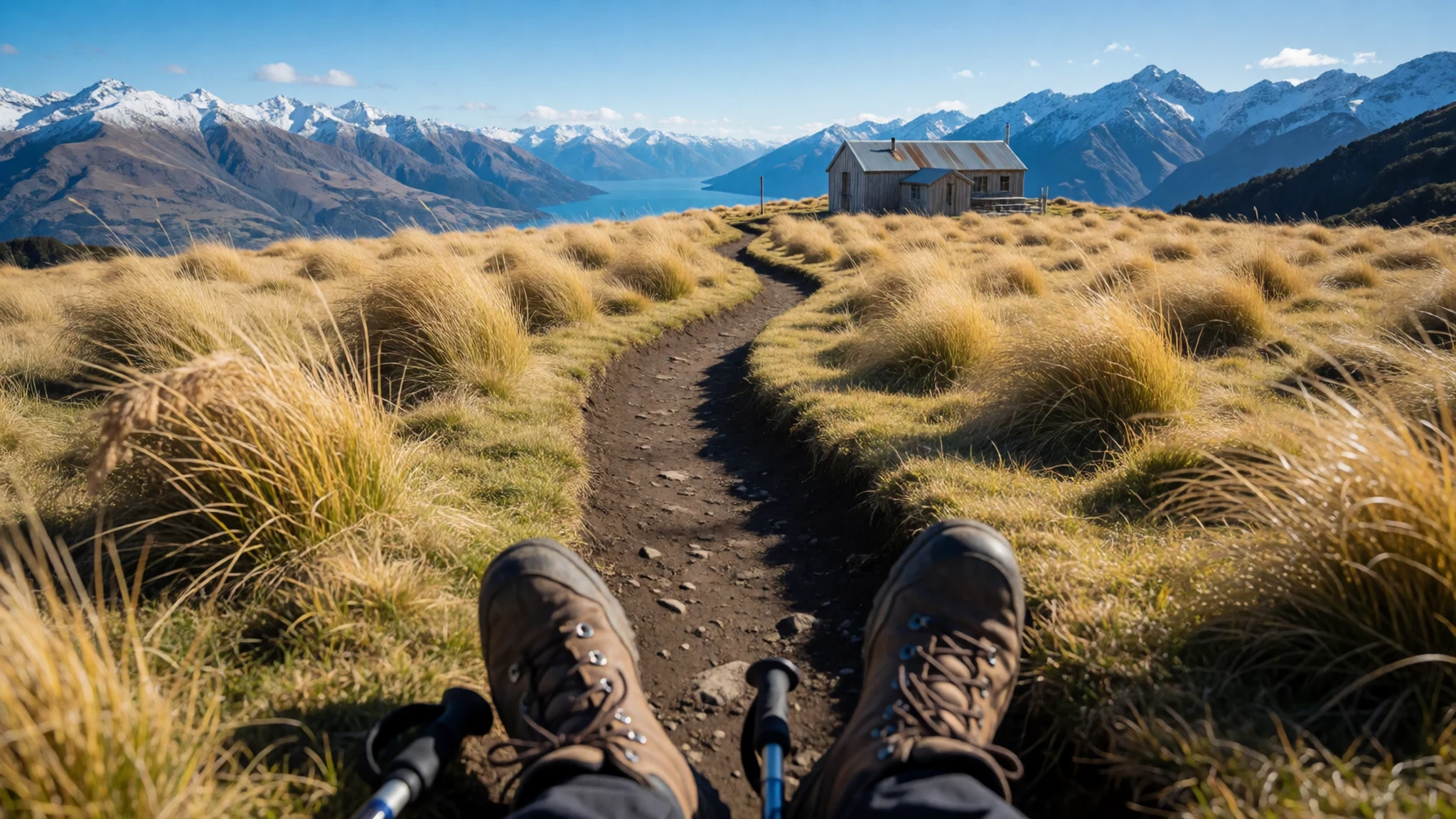
Culture
Fiordland lies within the homeland of Ngāi Tahu, and many of its places carry Māori names alongside English ones. Milford Sound is also called Piopiotahi, and using both names is a simple courtesy that shows care for the place. Māori seasonal use of the coast shaped how the land was travelled and read, and that knowledge still informs the interpretation offered at visitor centres and on guided walks and cruises.
The legends attached to the fiords are part of the cultural record rather than decoration, and listening to them is part of the experience. Conservation is also a shared value here. Department of Conservation staff maintain many tracks and huts, and walkers are expected to leave the backcountry as they found it. Carry out everything you bring in, keep to marked tracks and never feed the native birds.
What to wear
Fiordland's traditional dress comes from Māori weaving rather than any local tailoring. Kākahu, the cloaks worn by Ngāi Tahu and other South Island iwi, were woven from harakeke (New Zealand flax) and in older examples finished with feathers or fur trim. They marked ceremony and status, and the techniques passed between generations. The same flax still provides fibre for the kete (bags) and mats sold in craft shops around the region.
Today people in the area dress for the weather more than for fashion. Outdoor gear dominates: waterproof shell jackets, merino or fleece layers, sturdy boots for the tracks and warm hats for boat decks. Cafés and tour offices in Te Anau and Milford Sound keep things relaxed, and no particular dress rules apply at the cultural sites.
For a visitor, the sensible wardrobe is layered. Pack a waterproof jacket and trousers, because rain and wind can arrive quickly, and carry a warm mid-layer even in summer, since fiord cruises are cold on open decks. Sturdy closed footwear with good grip suits the mud and wet roots of most walks. Insect repellent is worth packing for the sandflies that the legends describe.
What to eat
- Green-lipped mussels — Lakeside cafés and eateries in the Te Anau township
Green-lipped mussels are a New Zealand staple, often steamed with garlic and white wine or folded into a chowder. They appear on menus around the Te Anau township and make a good lunch after a morning on the lakeshore.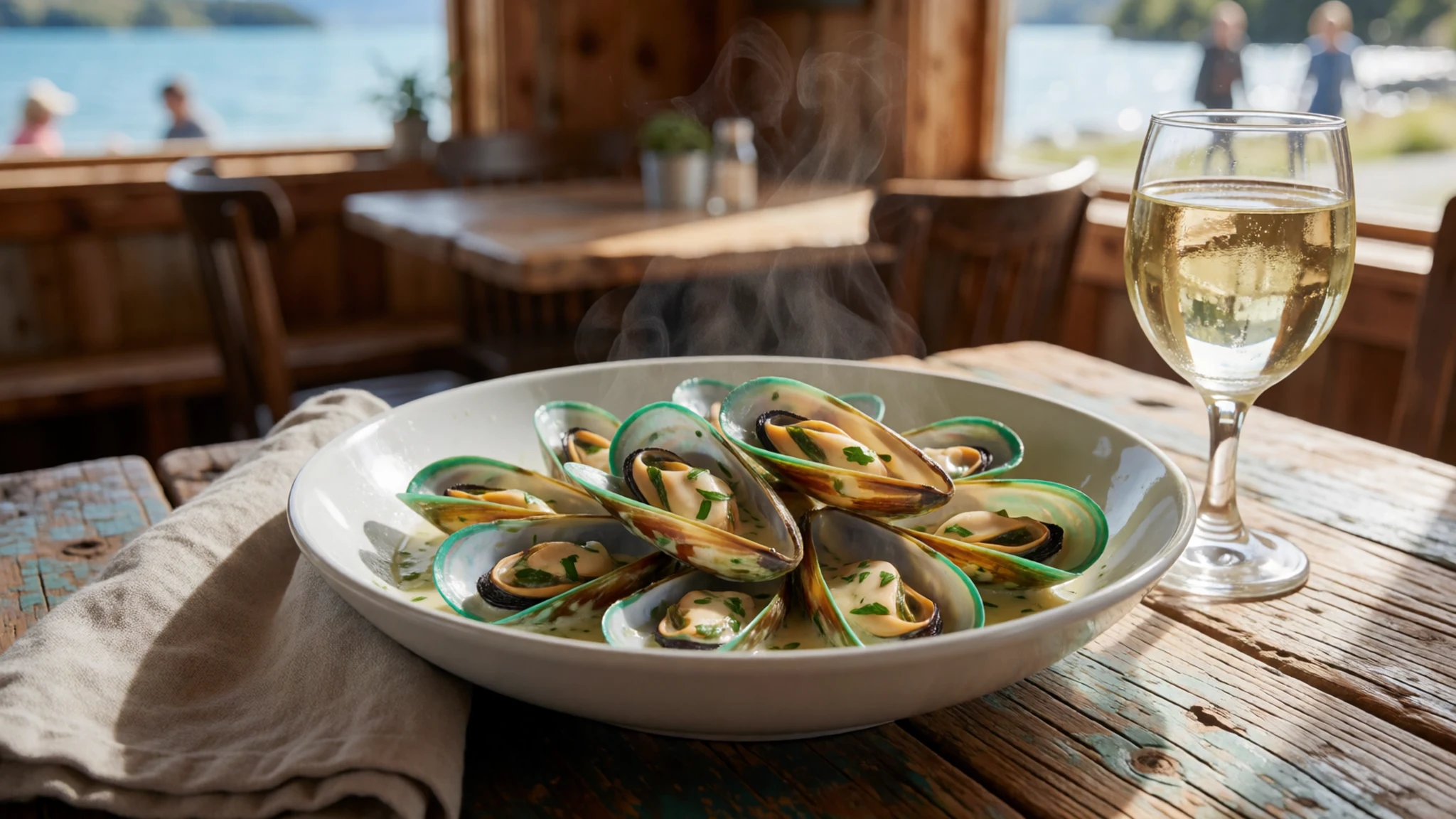
- Blue cod — Fish and chip shops and cafés in Te Anau and the Milford Sound village
Blue cod is a mild, flaky white fish, usually fried in batter or grilled with butter and lemon. It turns up in simple fish and chip shops and cafés across the region. Ask what is fresh that day, since menus change with supply.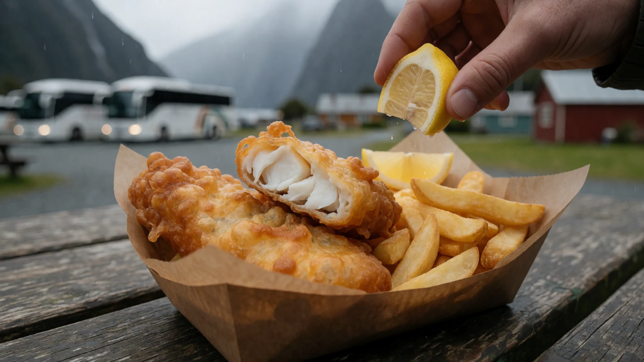
- Whitebait fritters — Café menus in Te Anau, seasonal
Whitebait fritters are a classic of New Zealand cooking, made from tiny young fish folded into an egg batter and fried. Availability depends on the season and not every café serves them. Where they appear they are a seasonal treat, typically on spring menus.
- Fiordland crayfish — Dinner menus in Te Anau and Manapouri
Crayfish, or rock lobster, is a sweet, dense shellfish most often grilled or served cold with aioli. It sits at the top end of menus, so expect it to cost more than fish or mussels. Ask whether the catch is local before ordering. - Southland lamb or venison — Pubs and dining rooms in Te Anau and Manapouri
Southland lamb and venison reflect the farming and hunting traditions of the wider region. Roast lamb and venison steaks appear on dinner menus, often with root vegetables and a rich sauce. They are heartier meals, well suited to a long day on the track.
Plan it
Best time. Summer, roughly December to February, brings the longest days and the warmest weather, with February the hottest month, but rain is heavy then and cold can arrive at any time of year. Winter brings snow to the peaks and a quieter feel, but some tracks and roads can be affected. Check conditions with the Department of Conservation before you travel.
How long. 3–4
Getting there. Fly or drive to Queenstown or Invercargill, then take a bus or car to Te Anau, the park's main entry town. For Milford or Doubtful Sound, the final leg is by road or boat, and small flights into the sounds also leave from Queenstown, Glenorchy or Te Anau.
Budget. high
Tips
- Book Milford Sound cruises ahead, especially for midday sailings
- Start early on the Milford Road to stay ahead of tour coaches
- Check conditions at a visitor centre, because weather can change within hours
- Book backcountry huts early, since advance booking is essential in busy periods
- Carry some cash for small kiosks and fuel stops, and pack insect repellent for the sandflies
Etiquette
- Tell a ranger or visitor centre your plans before any overnight trip away from the road
- Stay on marked tracks and off fragile vegetation
- Carry out all rubbish and never feed the native birds
- Use Māori place names alongside English ones, such as Piopiotahi for Milford Sound
Nearby
Sources
- Wikidata Q877719 (CC0)
- Wikipedia, Fiordland National Park (rev 1379322271) (CC BY-SA 4.0)
- Wikivoyage, Fiordland National Park (rev 5279737) (CC BY-SA 4.0)
- On Lake Te Anau (CC BY 2.5)
- Hollyford River in Fiordland National Park, South Island of New Zealand (CC BY-SA 4.0)
- Kepler Track, South Island, New Zealand (80) (CC BY-SA 4.0)
- Kepler Track, South Island, New Zealand (71) (CC BY-SA 4.0)
- Milford Sound (Piopiotahi) NZ (CC0 1.0)
- Glimpse of Lake Marian in front of Mt Crosscut (Public domain)
- Part of the Milford Sound Road, South Island, New Zealand (CC BY 3.0)
- Cruising on Milford Sound; 2014 (CC0 1.0)


