Étretat
Étretat, France
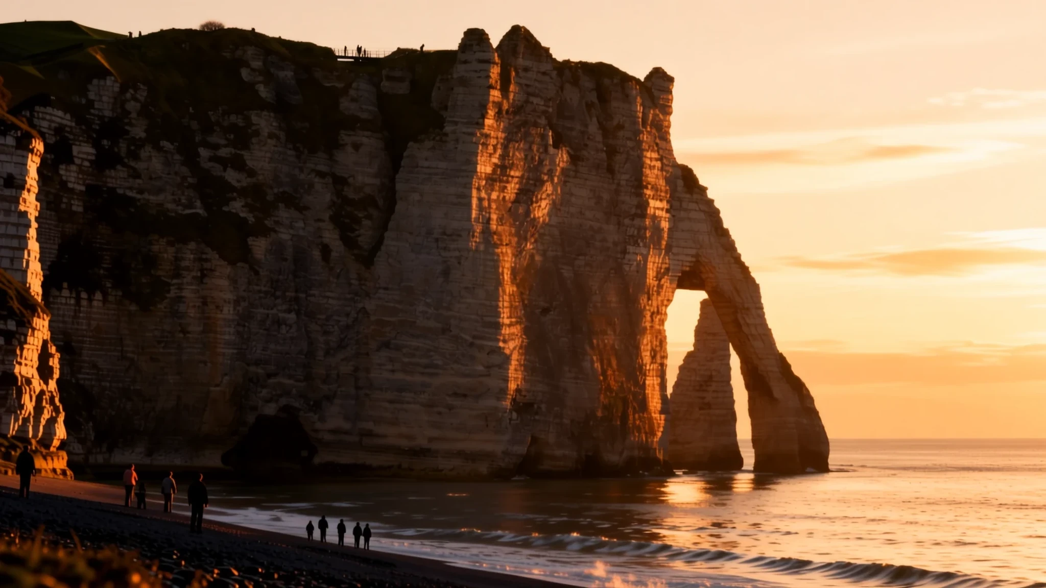
Étretat is a small Normandy resort where pale limestone cliffs, natural arches and a pebble beach meet the English Channel.
The place
Étretat is a small commune on the Normandy coast of northwestern France, in the Seine-Maritime department, about 32 km north-east of Le Havre. Its roughly 1,100 residents live in a town that has long been shaped by visitors. The coast here is known as the Alabaster Coast, and the pale limestone cliffs rise sharply from a beach made not of sand but of rounded stones. The stones have been smoothed by the English Channel, and they clatter loudly with every wave, a sound that becomes part of the walk down to the shore.
The town sits just behind the shingle. Its economy rests mainly on tourism, with farming on the land behind it. Most people come for the cliffs rather than the buildings. Paths lead up both sides to the clifftops, where the view takes in the Channel, the beach and the cliffs opposite. Tourism is a steady trade here rather than a seasonal boom, although the streets fill quickly on sunny summer weekends.
The tourist information centre sits by the bus stop, a few blocks from the beach, and it holds plenty of material on the town's history. English is not widely spoken in shops and cafés, so a little French or a phrasebook helps. The centre is small enough to cover on foot in a day, but the cliffs reward a slower pace and a good pair of shoes.
Its story
For much of its history, Étretat was a fishing and farming community, and its beach was a working place as much as a view. In the eighteenth and nineteenth centuries, local people gathered kelp and seaweed from the shore and burned it. The ash was rich in soda, potash and iodine, and it was sold on. The grey smoke rising along the stones became a familiar sight, and George Inness later recorded it in a painting of the town, where thin white plumes drift above the shingle.
The trade declined once iodine began to come from mineral deposits in Chile, which undercut the kelp industry. Small harvests continued in northern France for some time, but the economy needed another source of income. The town turned increasingly to the seaside. Bathing became the new reason to visit, and the beach that had once smelled of burning seaweed became a place to walk, sit and swim.
Artists followed the visitors. Gustave Courbet painted the cliffs after a storm, and Eugène Le Poittevin showed bathers on the beach in a large canvas now held in Troyes. Their pictures helped establish the arches and the needle-like stack as the town's emblems. The cliffs themselves keep changing slowly, because the sea continues to wear the limestone back, and the arches are what remains of that long erosion.
What to see
- Porte d'Amont — Cliffs north-east of the beach
The larger of the two great arches is a natural opening in the limestone, reached by the paths that climb from the town to the clifftops. Its rounded shape is worn smooth by the sea and weather. Walking out to it gives a clear sense of how the Channel has carved the coast over time. Go on foot rather than by car, because the approach paths are steep and the views change at every bend.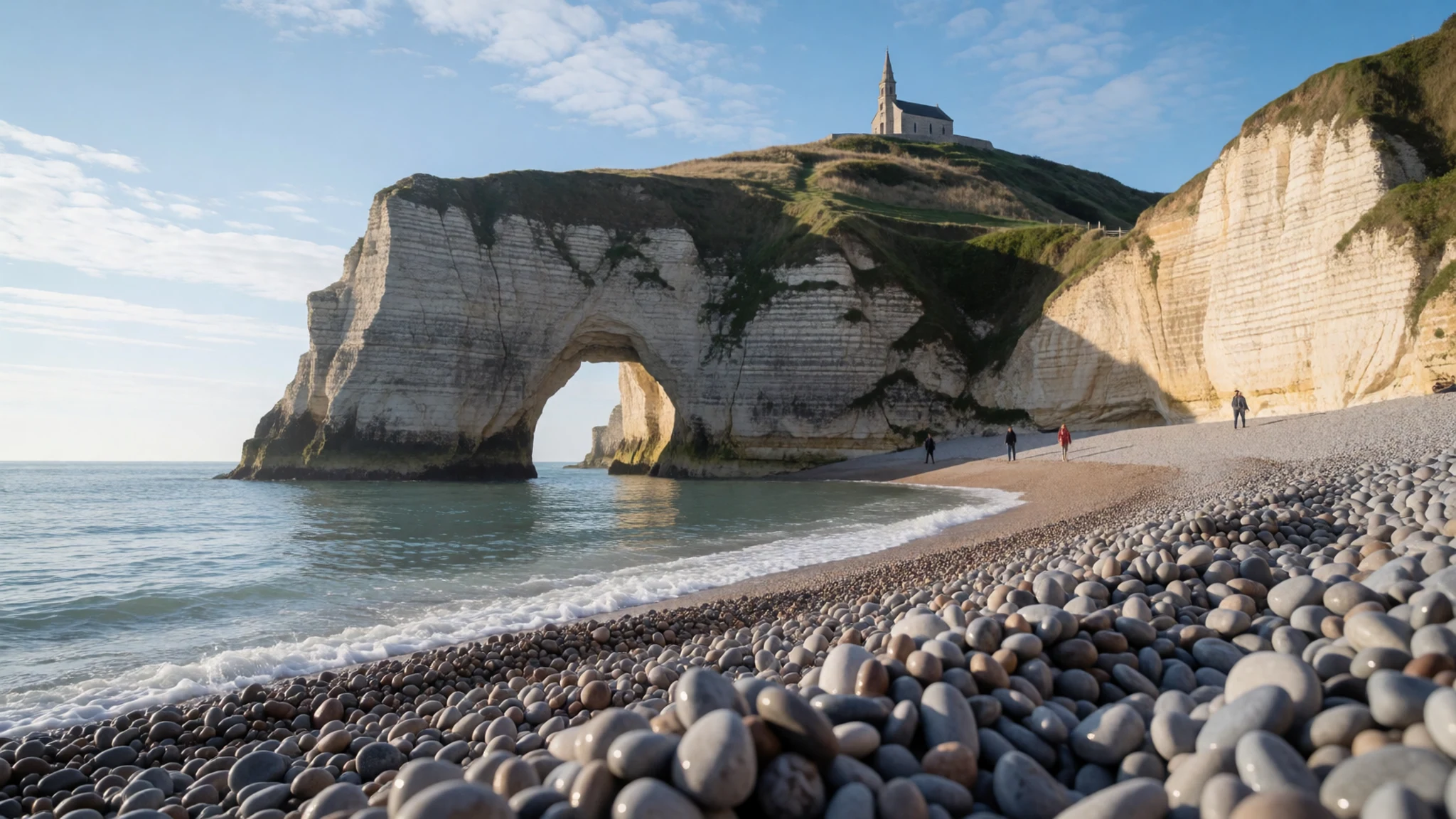
- Porte d'Aval and the Aiguille — Cliffs south-west of the beach
Seen from the Manneporte viewpoint, the Porte d'Aval arch stands beside the Aiguille, a tall, narrow stack of rock that rises out of the sea. The pair is the classic postcard view of Étretat. The needle is best appreciated at low tide, when the beach is wide enough to walk out and look back at the cliffs.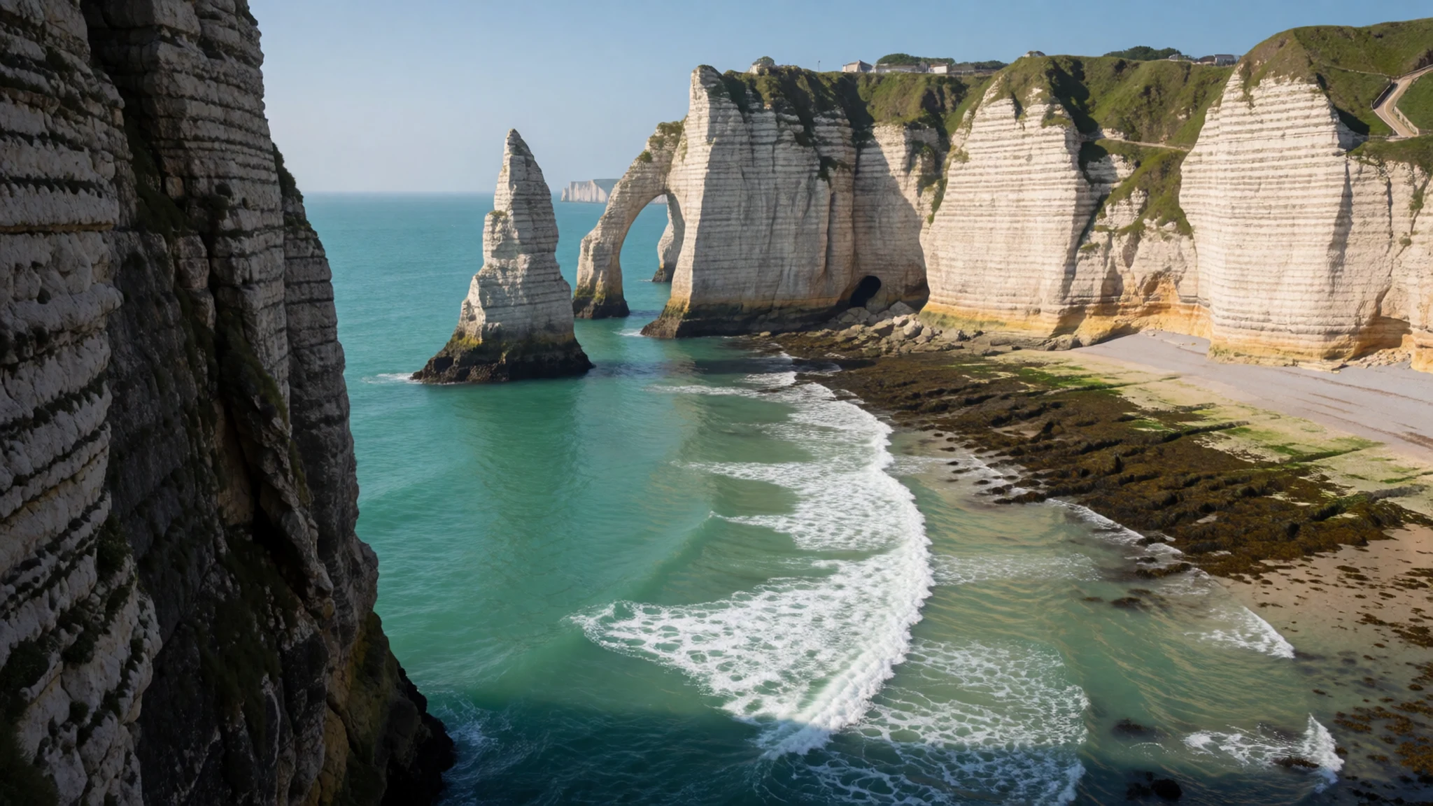
- Cliff walks — Clifftops on both sides of the town
Excellent walks run along the cliff tops, giving clear views of the limestone face and its remarkable erosion. The clifftop paths offer a commanding view of the Channel, the beach below and the opposite cliffs. Stay on the marked trails, because the edges are unstable and the drops are sudden.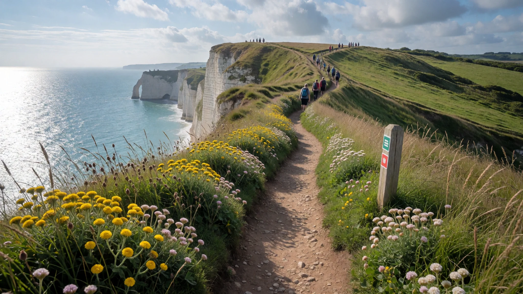
- Étretat Golf Club — Clifftops above the town
The golf club lays out a demanding course along the clifftops, where wind off the sea shapes every shot. It is a good choice for visitors who want something active beyond the beach. Fees, opening hours and booking rules change, so check the official site before travelling.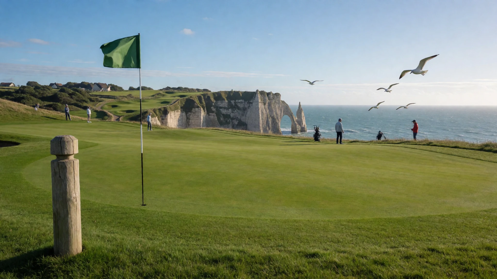
Culture
Étretat grew from a fishing and farming community, and that heritage still shows in the way the shingle beach is used. Boats are hauled up above the high-water line, and locals gather along the front on fine days to talk, walk and watch the sea. Life here follows the tides and the weather more than a fixed timetable, so shops and cafés may close for lunch or change their hours with the seasons.
French is the everyday language, and a simple greeting goes a long way. Say bonjour when entering a shop or café and merci when leaving. Restaurants are relaxed about meals taking time, and it is normal to linger over lunch rather than rush. Bathing is popular in summer, but the water is cold for much of the year, and swimmers usually change near the beach huts rather than in the street.
The cliffs are a shared natural asset, and walkers tend to keep to the paths and greet one another on the way up. Keep to the marked paths, stay back from the cliff edges, and leave the pebbles on the beach where they lie.
What to wear
Étretat has no dress of its own, but the wider Normandy tradition gives the town its regional costume: lace caps, starched white collars and dark wool skirts, worn by women of the farming and fishing families. The lace coiffe, a white cap with a wide frill, is the best-known piece, and such costumes survive mainly at festivals, folk events and in museums rather than in daily life.
Today the town dresses for the weather and the stones. Locals wear jeans, jackets, knitwear and trainers, and summer visitors favour light cotton and sandals. Beachwear is accepted on the shingle, but people usually cover up when walking through the town centre and in churches. Cafés and restaurants accept casual dress, though smart casual is common in the evening.
For a visit, dress for a coast that is often windy even in summer. A windproof layer and a warm jumper are sensible, and a hat or sunglasses help on open clifftops. Choose flat shoes with good grip for the steep paths and loose stones, because thin soles and smooth heels are uncomfortable on shingle. A small bag keeps your hands free on the climbs.
What to eat
- Moules marinières — Restaurants along the seafront
Mussels cooked in white wine with shallots and parsley are a classic Normandy dish, and they suit a coastal town with a fishing past. The shells are steamed open in a pan and served with bread for the broth. Look for them on the menus of restaurants along the seafront.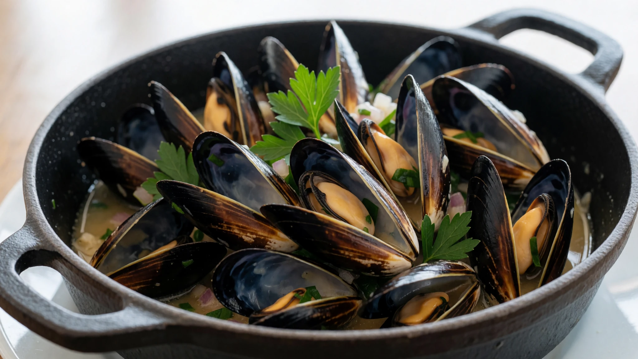
- Sole normande — Seafront and town-centre restaurants
Sole cooked with cream, mushrooms and cider, often finished with a little calvados, is the region's celebrated fish dish. It is most often served in restaurants that cater to diners who want a full seafood meal. Ask at the eateries near the front which fish arrived that morning.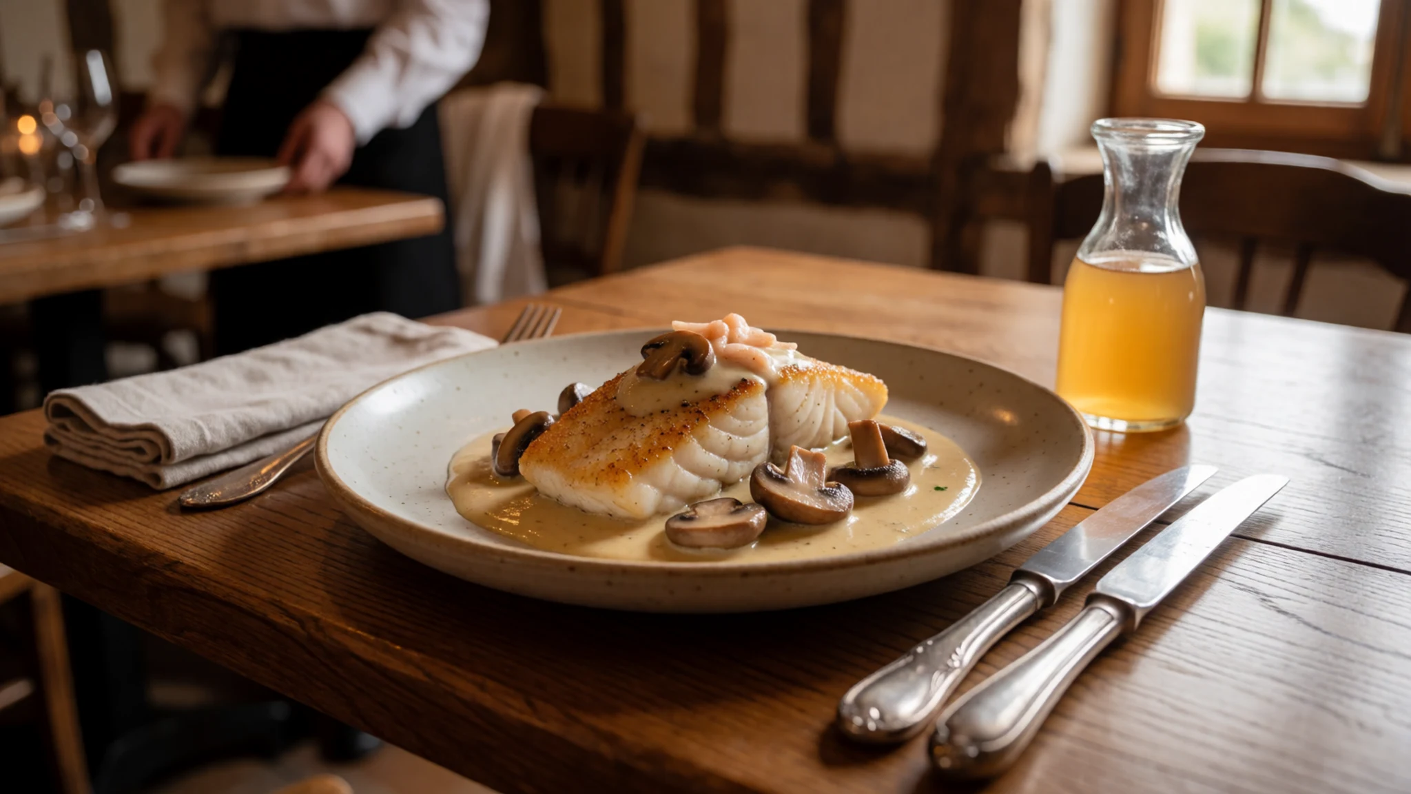
- Camembert and Pont-l'Évêque — The weekly market and town cheese shops
Two of Normandy's best-known cheeses are made from the milk of local herds. Camembert is soft and runny when ripe, while Pont-l'Évêque is square, washed and pungent. Both are sold in cheese shops and at the weekly market.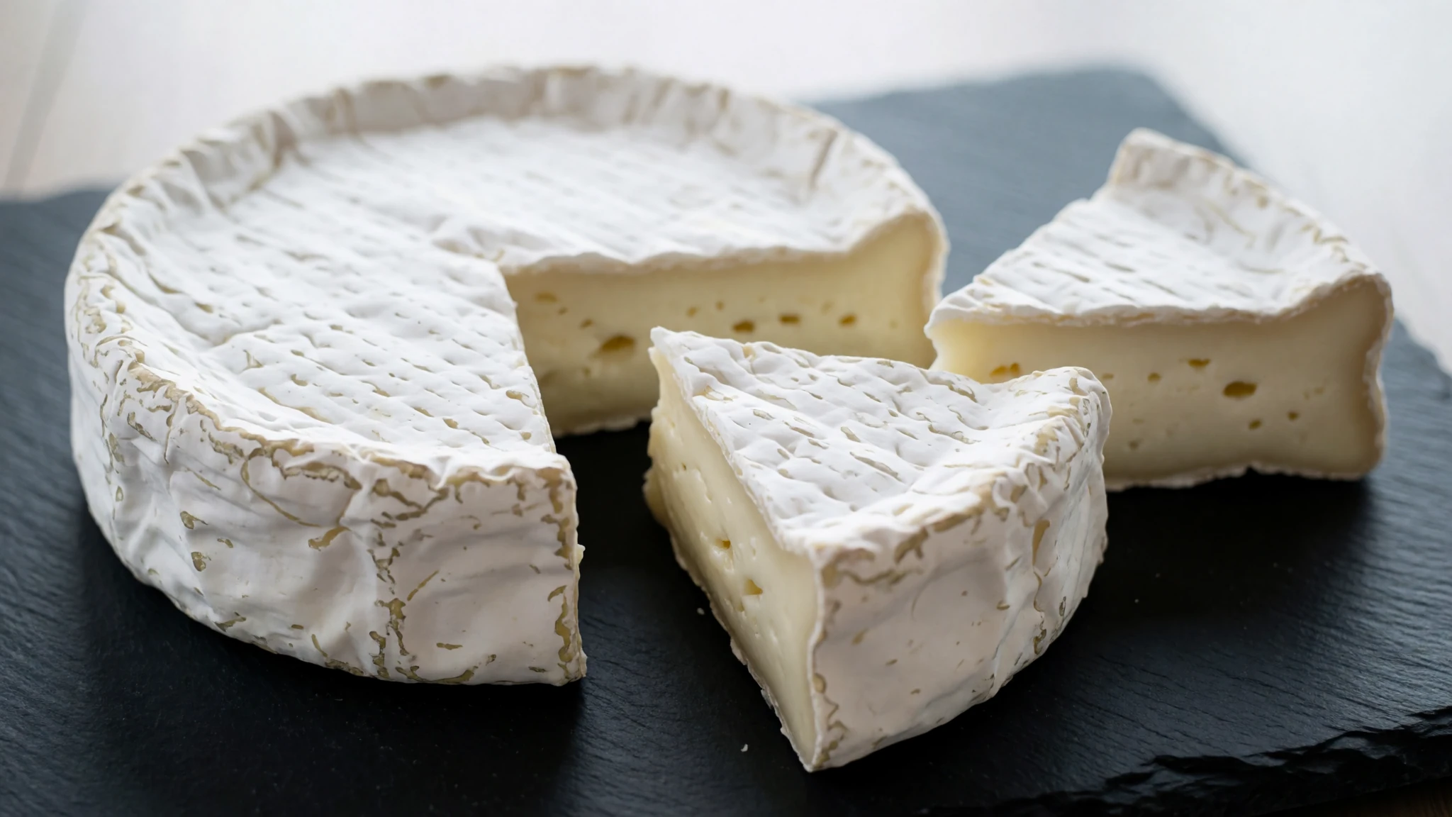
- Cider and calvados — Cafés, bars and local drinks shops
Farmhouse cider is the everyday drink of the region, lightly sparkling and often dry. Calvados, a distilled apple brandy, is served as a digestif after a meal. Both are sold in bars and cafés, and many local shops stock bottles to take home. - Tarte aux pommes — Bakeries in the town centre
A thin apple tart, often served warm with a dollop of cream, shows the orchards that spread inland from the coast. Bakeries in the town centre bake it fresh through the day, and it makes a good afternoon stop after a cliff walk.
Plan it
Best time. May, June or September suit a visit best, when highs sit around 24 to 29°C and the rain is moderate. July and August run hottest, with highs above 31°C, while November and December are the wettest months, at around 90 to 97 mm.
How long. 1–2
Getting there. There is no train line to Étretat. Main lines serve Le Havre and Fécamp, and buses run a few times a day from both towns; the ride takes about 45 minutes through the countryside. Check the timetable before you travel, as services are less frequent outside the summer.
Budget. mid
Tips
- Check bus times for the return journey before you set off
- Visit the cliff paths early or late in the day to avoid the busiest hours
- Carry cash for small cafés and market stalls
- Bring a windproof layer and shoes with grip
- Book golf or other activities through the official site
Etiquette
- Greet shopkeepers with bonjour when entering
- Keep to marked cliff paths
- Leave pebbles on the beach
Nearby
Sources
- Wikidata Q290936 (CC0)
- Wikipedia (rev 1382728268) (CC BY-SA 4.0)
- Wikivoyage (rev 5388754) (CC BY-SA 4.0)
- 00 7495 Étretat - Normandie, W. Bulach (CC BY-SA 4.0)
- Vue d'Étretat, Jörg Braukmann (CC BY-SA 4.0)
- Porte d'Amont (Étretat), Jörg Braukmann (CC BY-SA 4.0)
- Porte d'Aval (Vue depuis la Manneporte), Jörg Braukmann (CC BY-SA 4.0)
- Etretat Chapelle Notre-Dame de la Garde, Ladislaus Hoffner (CC BY-SA 4.0)
- Vue panoramique d'Etretat, Antoine Léon Morel-Fatio (Public domain)
- Bains de mer à Étretat, Eugène Le Poittevin (Public domain)
- The Etretat Cliffs after the Storm, Gustave Courbet (Public domain)


