Ellesmere Island
Ellesmere Island, Canada
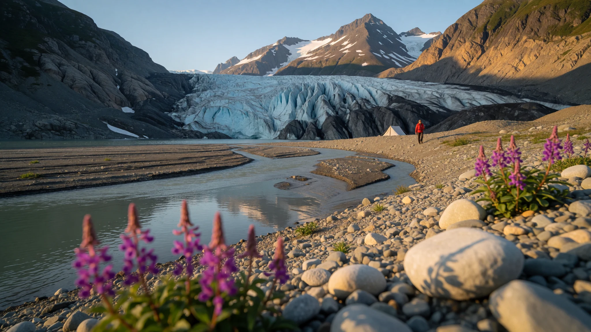
Ellesmere Island is Canada's far-northern edge, with glaciers, bare mountains and musk oxen under a midnight sun, reached only by flights.
The place
Ellesmere Island is the northernmost island in Canada, the third largest of its islands and the tenth largest in the world. It belongs to the Qikiqtaaluk Region of Nunavut and stretches about 830 km from end to end, with an area of roughly 198,000 sq km, comparable to Great Britain. Yet only about 146 people live here, in three settlements: Alert, Eureka and Grise Fiord. Grise Fiord is the Inuit community on the south coast, while Alert is a military and weather station and Eureka a research outpost.
Mountains define the island. The Arctic Cordillera covers much of it, which makes Ellesmere the most mountainous part of the Arctic Archipelago, with peaks rising to 2,616 m. A belt of folded ranges called the Grant Land Highlands forms the northern face. Beyond them the land levels out into the Greely-Hazen Plateau, a broad tableland whose rocks are partly sedimentary and partly volcanic.
Cape Columbia, at the island's top, is the most northerly land in Canada. The north geomagnetic pole also sits on Ellesmere, which is why magnetic compasses are unreliable here. Quttinirpaaq National Park takes in a large share of the interior, and there are no roads linking anything.
In summer the ground is not all grey. River beauty, a magenta willowherb, flowers on gravel beside meltwater streams, and lakes thaw at their edges. It remains a place of ice, rock and distance, where weather decides what happens each day.
Its story
Ellesmere Island's human story begins with people arriving from the south and west across the High Arctic. They followed the coasts or crossed overland towards Nares Strait, and some went on over the strait to settle Greenland. The earliest belong to what archaeologists call the Arctic Small Tool tradition, sometimes labelled Paleo-Eskimo: small hunting bands that moved often and left light traces.
Several distinct cultures are recognised around Smith Sound, among them Independence I, Pre-Dorset, Saqqaq and Dorset. Most of their sites lie inland, on upland ground such as the Eureka and Hazen areas, because musk oxen were the main quarry and the herds had to be followed. Winter shelter meant skin tents rather than fixed houses.
The cold works in researchers' favour. Dry winds freeze-dry objects left on the surface, while permafrost keeps buried ones intact, so tools and dwelling remains survive for thousands of years. Much of the excavated material is still unpublished, so the picture is incomplete.
Later chapters include the Thule people and European expeditions, whose sites turn up along the coasts. In the late nineteenth century the US Army built Fort Conger as a base for an attempt on the North Pole, and Robert Peary later used it during his own Arctic expeditions. Parts of the fort have federal heritage status in Canada. Today Ellesmere is governed from Nunavut, and the same cold that preserved the past means disturbing an old site does lasting damage.
What to see
- Tanquary Fiord and Gull Glacier — Quttinirpaaq National Park
Tanquary Fiord is the usual starting point inside Quttinirpaaq National Park, where the chartered aircraft land and Parks Canada keeps a campsite. Across the water, Gull Glacier, nicknamed the Hand of God, spreads its ice fingers down the slope. It is a good place to acclimatise and plan day walks.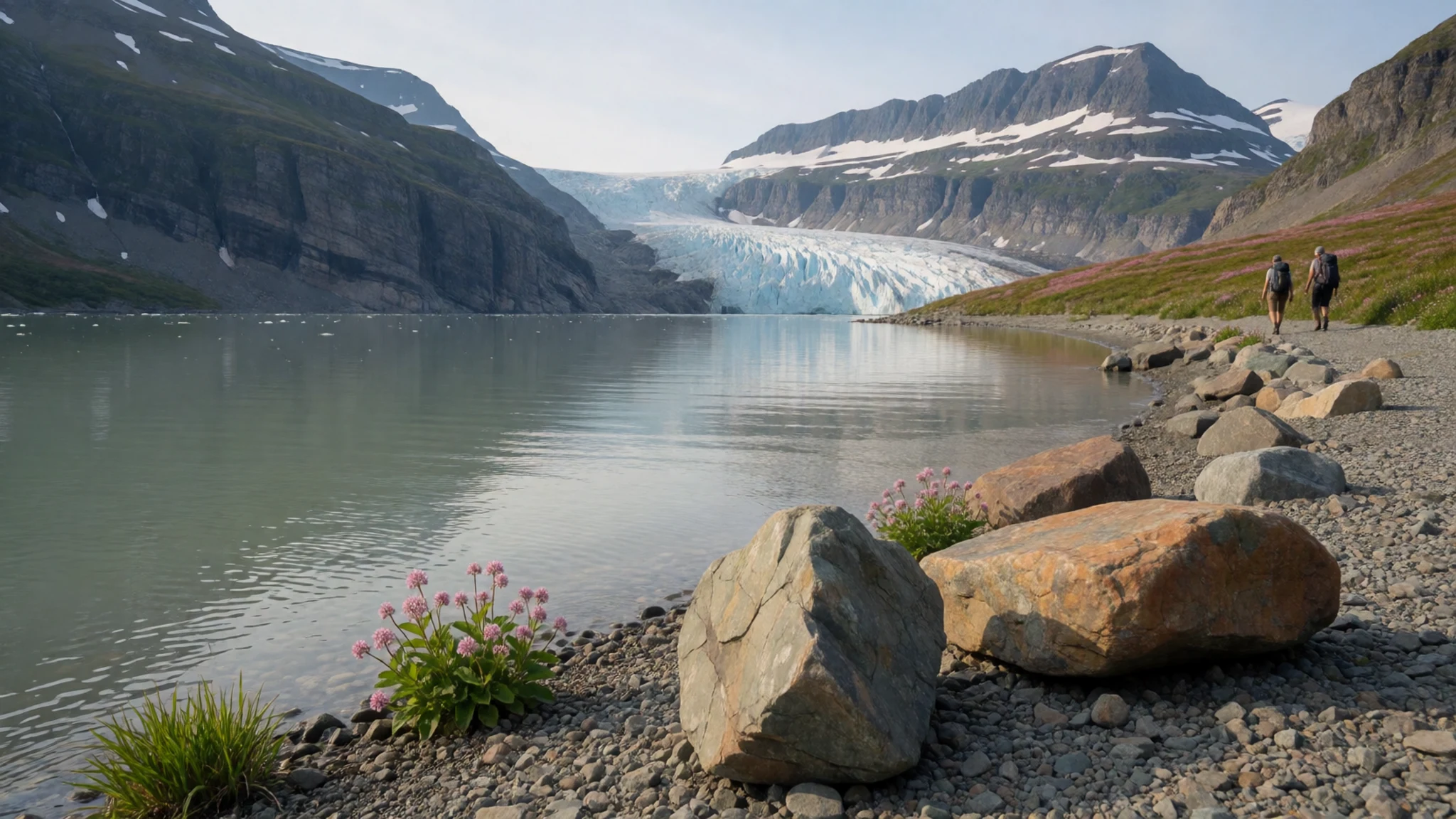
- Air Force Glacier — Quttinirpaaq National Park
Walking beside Air Force Glacier gives a close view of how ice shapes the park: grey moraine ridges, milky streams and crevassed edges. Hikers keep to the margins and avoid stepping onto the ice unroped. Weather and glacial conditions change quickly, so a guide or experienced companions matter here.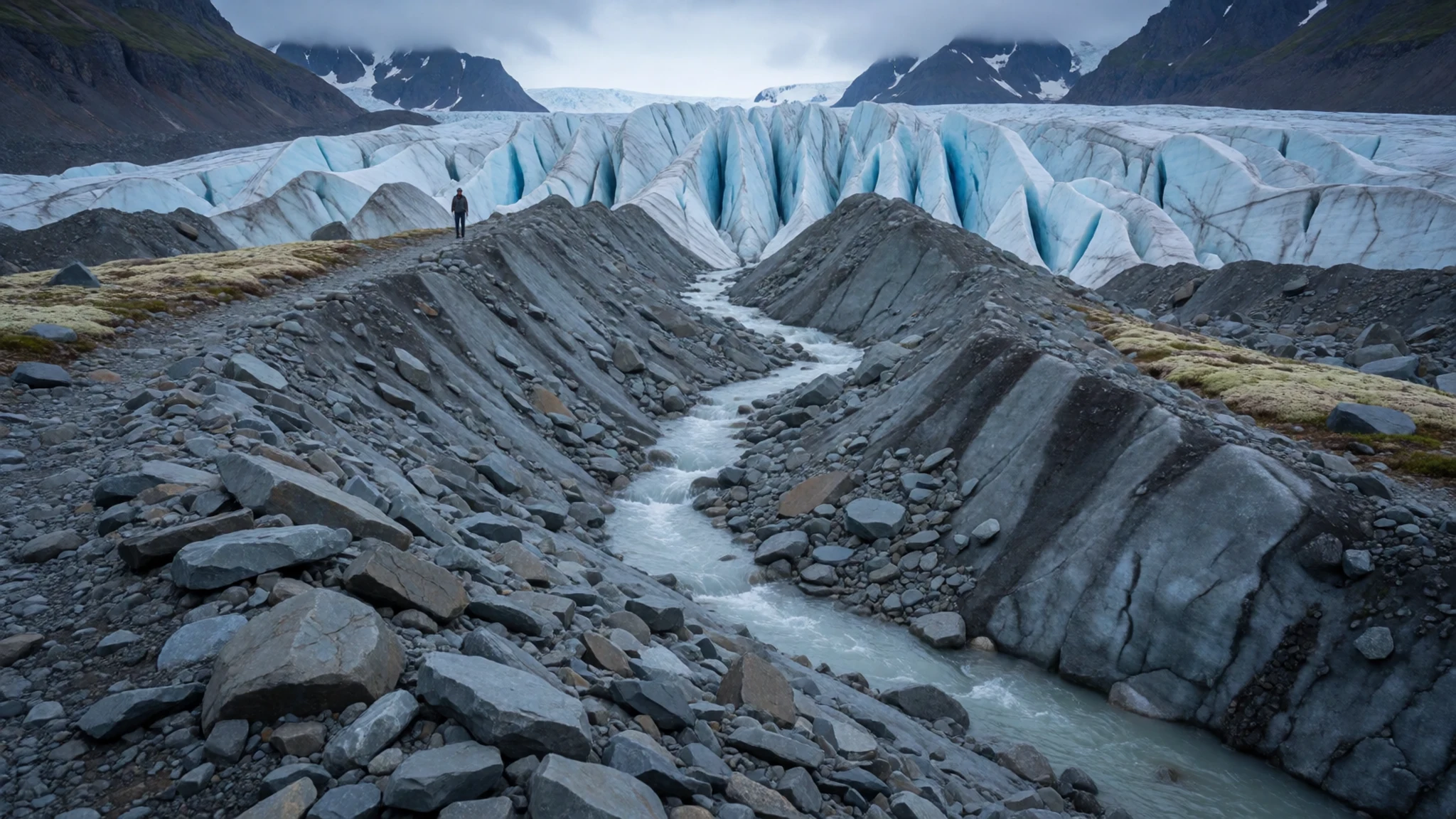
- Fort Conger — North of the park's interior, towards Alert
Fort Conger lies in Quttinirpaaq National Park, south of Alert. The US Army Signal Corps built it as a base for a North Pole attempt, and Robert Peary later made use of it. Surviving structures carry federal heritage designation. It is remote, so visits are arranged as part of a planned expedition.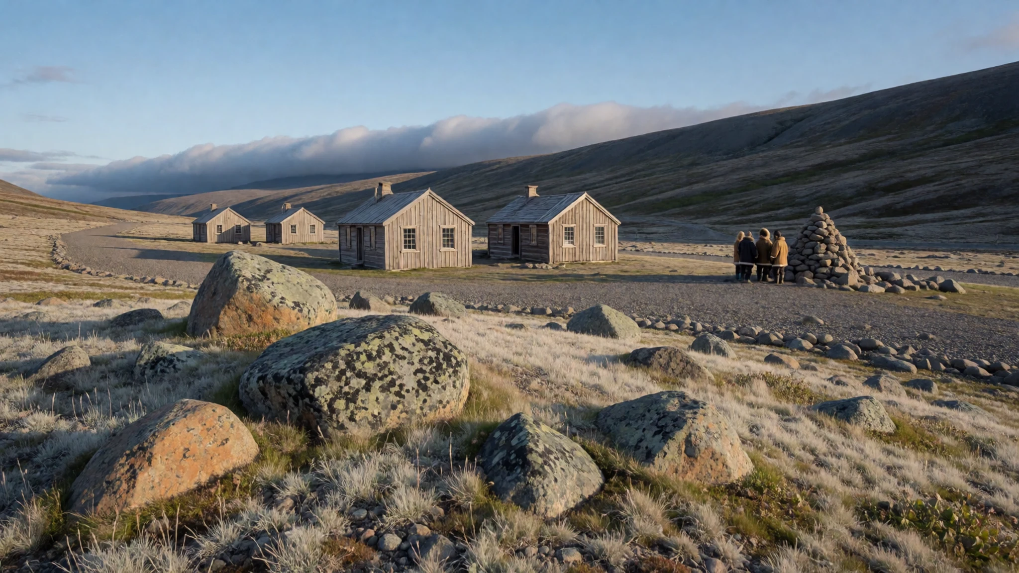
- Grise Fiord and its glaciers — South coast of Ellesmere Island
Grise Fiord is the only community most visitors can reach by scheduled flight. From the village, local operators run boat and snowmobile trips and walks onto nearby ice caps and glaciers. The water offers chances to spot beluga, icebergs and, with luck, polar bears. Thule and European expedition sites lie close by.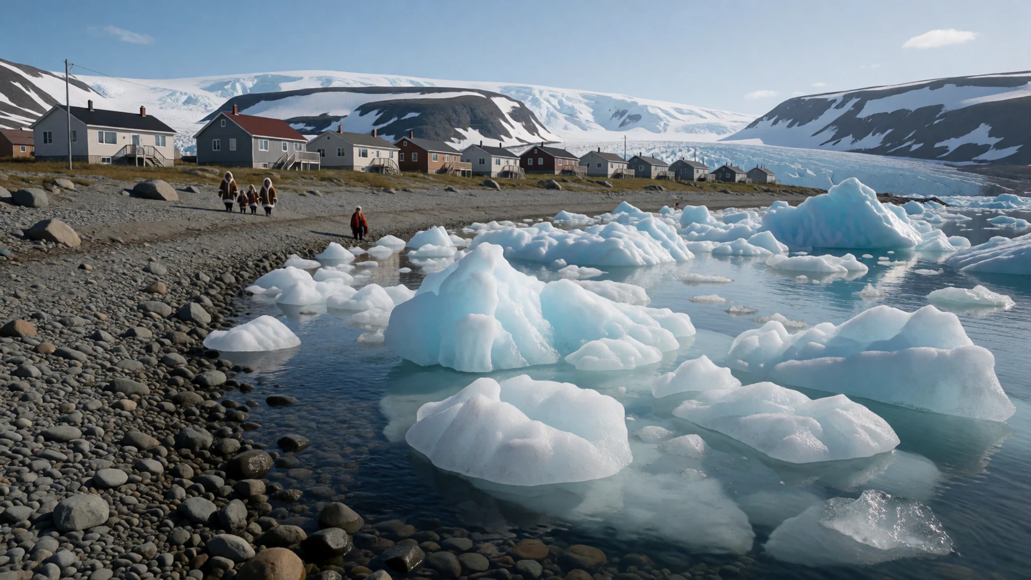
- Ekblaw Lake and the summer tundra — Interior of Quttinirpaaq National Park
Away from the glaciers, the interior has a quieter side in summer. Around Ekblaw Lake, meltwater streams cut through gravel and river beauty flowers colour the foreground, with bare hills behind. Musk oxen graze where the plants are thickest. Photographers will find the low light on summer nights particularly forgiving.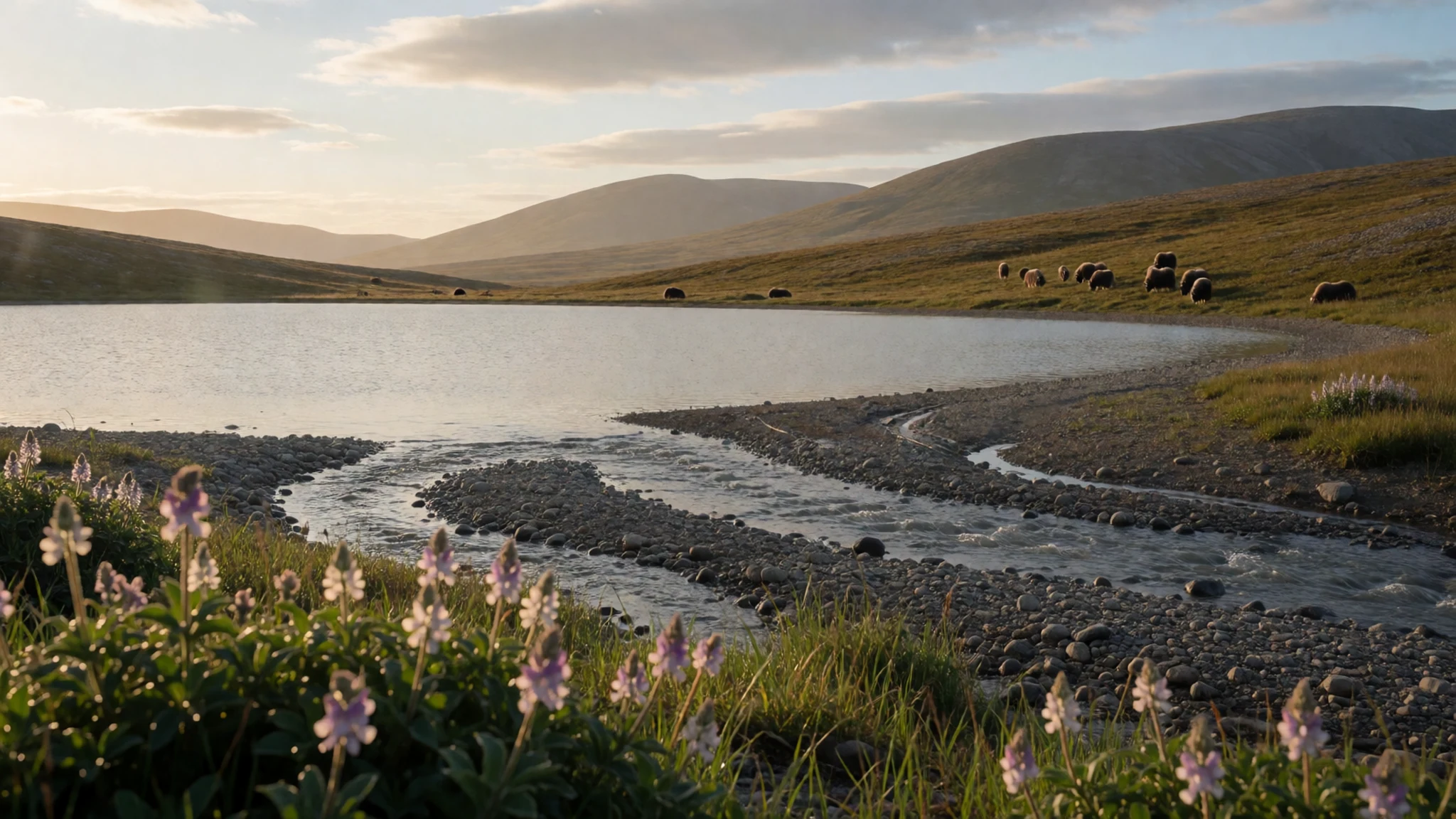
Culture
Ellesmere Island is shaped by two quite different human worlds. The first is Inuit. Grise Fiord is a small Inuit community in Nunavut, where Inuktitut is spoken and hunting, fishing and sharing food remain part of everyday life. Boats, sleds and snowmobiles are working equipment, and the seasons of ice, open water and daylight set the rhythm of the year.
The second world is that of stations and expeditions. Alert is a military base, Eureka is a research outpost, and the national park has no permanent residents. Parks Canada, scientists and outfitters bring people in by air, which gives the island more the character of a field site than a tourist region.
The long archaeological record adds a third layer. Old camps, tent rings and tool scatters lie on the surface in many places, protected mostly by the cold and by distance. Local people and researchers treat them as part of the island's living history rather than as curiosities.
With so few residents, social life is close-knit and news travels quickly. Visitors who arrive curious, patient with delayed flights and open to conversation are generally received warmly. Shops are small, supplies arrive by air, and everything is used carefully.
In Grise Fiord, ask permission before photographing people, their homes, or meat and hunting gear, and never touch or move anything at an old archaeological site.
What to wear
Ellesmere Island's traditional dress is Inuit clothing, made for survival in extreme cold. Parkas were sewn from caribou or sealskin, with the fur turned in against the body and another layer outside. Women's parkas, called amauti, have a pouch at the back for carrying a baby. Boots called kamiik are made from sealskin and caribou hide, stitched to keep out water. Mittens, trousers and hats came from the same materials. Many families still make these garments, and they are worn for hunting, for special occasions and in community celebrations.
Day to day, people in Grise Fiord dress much as northern Canadians do: insulated parkas, snow pants, wool hats, warm gloves and thick-soled boots. Handmade pieces such as sealskin mitts and boots are worn alongside factory-made outerwear, and often valued more.
Visitors in July and August should still pack for cold. Wear several thin layers, such as a merino or synthetic base, a fleece, and a windproof, waterproof shell. Bring a warm hat, liner gloves and thicker mitts for wind off the glaciers. Waterproof, ankle-supporting boots matter on stony tundra and stream crossings, and sunglasses help against glare from ice and long daylight. Modesty norms are relaxed, though respectful, practical clothing is appropriate in the community.
What to eat
- Arctic char — Shared in family homes in Grise Fiord, or on guided trips
Arctic char is a cold-water fish caught in northern rivers and fjords. It is eaten fresh, boiled, dried or frozen. Visitors are most likely to meet it as part of a meal offered by a host or guide rather than from a menu.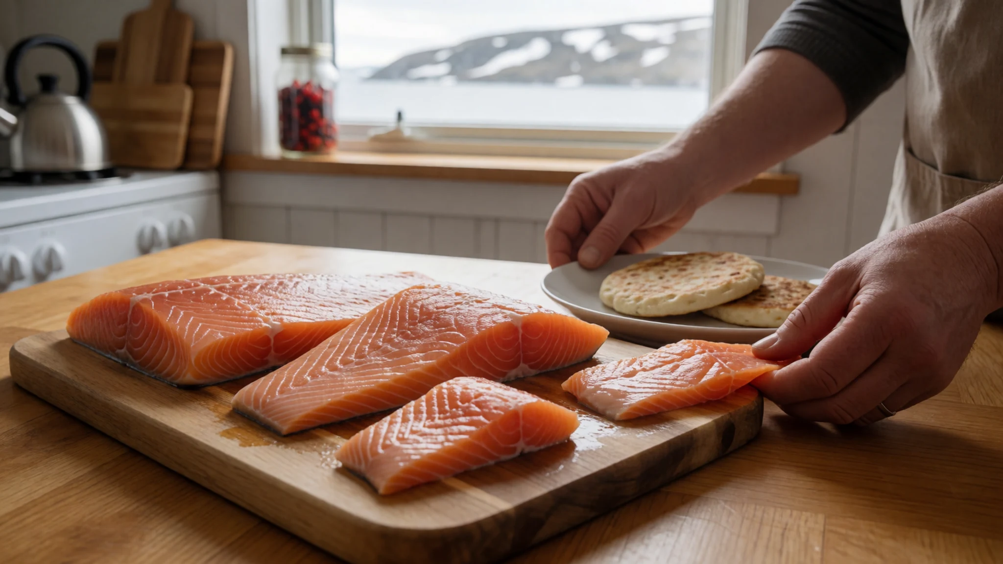
- Muskox — Community meals and guided trips in Grise Fiord
Muskox is the large, shaggy grazer of the High Arctic and has long been a staple for people living here. The meat is rich and lean and is often stewed or boiled. It is served when hunters share the catch.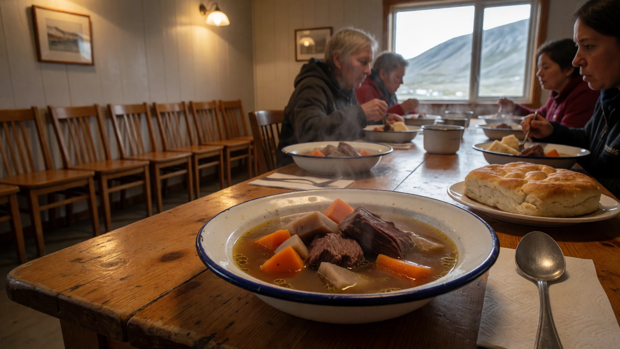
- Ringed seal — Family homes and community gatherings in Grise Fiord
Ringed seal is central to Inuit food culture, eaten boiled, dried or raw, and its skin is used for clothing. Visitors may be offered a taste at a gathering. Accept politely, and it is fine to decline if unsure. - Bannock — Home kitchens and community events
Bannock is a simple dense bread of flour, fat and baking powder, fried in a pan or baked. It travels well, pairs with soup or tea, and appears at many gatherings across northern Canada. - Store-bought and expedition food — The co-operative store in Grise Fiord; park camps
Grise Fiord's co-operative store keeps a small range of groceries, flown in, so the choice is limited. Visitors heading into the park pack dried and tinned food from outside, since nothing can be bought inland.
Plan it
Best time. July and August are the usual window: the ice has loosened, daylight is near-constant and the tundra is in flower. Winter brings dark, whiteouts and hazardous conditions, and bad weather can delay flights in any season.
How long. 5–10
Getting there. Scheduled flights reach only Resolute Bay Airport (YRB) and Grise Fiord Airport (YGZ). For Quttinirpaaq National Park, charter a Twin Otter from Resolute, a flight of about four hours; there are no scheduled services. Alert is reached by military aircraft only.
Budget. high
Tips
- Allow slack in the schedule, since weather can delay departures or returns by days
- Go with an outfitter or experienced guide; rescue is slow and expensive
- Carry a map and GPS, because magnetic compasses do not work near the magnetic pole
- Boil or disinfect all water taken from streams and lakes
- Treat polar bears as a real risk and ask guides about safety gear
Etiquette
- Ask before photographing people, homes or hunting gear in Grise Fiord
- Leave archaeological sites and artefacts exactly where they lie
- Take all rubbish out with you
Nearby
Sources
- Wikidata Q146841 (CC0)
- Wikipedia: Ellesmere Island (CC BY-SA 4.0)
- Wikivoyage: Queen Elizabeth Islands (CC BY-SA 4.0)
- Osborn Range, Ansgar Walk (CC BY 3.0)
- River Beauty flowers, Paul Gierszewski (CC BY 3.0)
- Ellesmere topography, Zamonin (CC BY-SA 4.0)
- Ellesmere Island, NASA World Wind (Public domain)
- Air Force Glacier, Paul Gierszewski (CC BY 3.0)
- Tanquary Fiord, Ansgar Walk (CC BY-SA 2.5)
- Ellesmere2008-396, Electronker (CC BY-SA 2.0)
- Ellesmere Island 02, Matti&Keti (CC BY-SA 4.0)


