Dilijan National Park
Dilijan National Park, Armenia
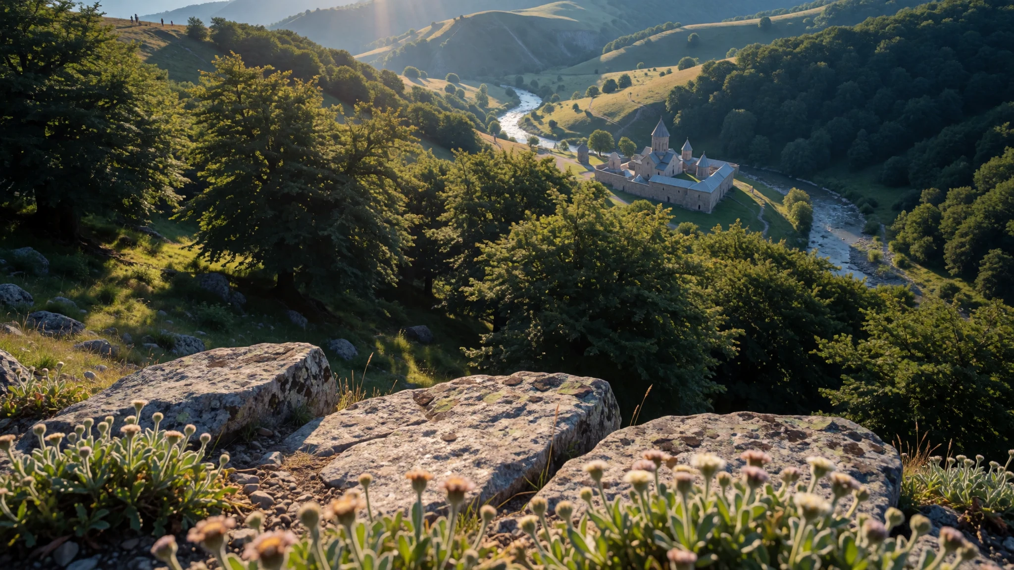
Dilijan National Park is forested mountain country in Armenia's Tavush Province, with lakes, mineral springs and trails among the ridges.
The place
Dilijan National Park (Դիլիջան ազգային պարկ) covers a broad stretch of wooded mountains in north-eastern Armenia, in Tavush Province. The park sits on the Halab range, the Ijevan range (also called Kaeni), and the Miapor, Areguni and Pambak ranges. Its recorded elevation is 1685 metres. Mountain forest clothes the valleys, while the meadows higher than the park boundary lie outside the protected land. The Aghstev River and the Getik, Haghartsin, Bldan, Shtoghanajur and Hovajur, its main tributaries, cut through the valleys and set the line of the paths. Three named lakes sit in the woods: Parz Lich, known as Clear Lake, Goshi Lich, known as Gosh Lake, and Tzrkalich, known as Leech Lake, along with smaller pools. Springs near the town of Dilijan are used as mineral water, and the town itself, with its resort character, stands inside the park. Published accounts place it among Armenia's four national parks, about 240 square kilometres of forest, wildlife habitat, springs and cultural monuments, tied together by hiking trails. Trains linking Yerevan with Ijevan run through these valleys, so the park is lived in rather than sealed off. Houses, a resort town and a working rail line share the valleys with the protected forest. That mix is the character of the place: woodland light, cold lakes and old stone monuments sit a short walk from ordinary town life. Walkers follow the rivers up toward the ridges, where the protected forest gives way to open meadow that is no longer inside the park. Wildlife and plant life are part of the reason the area was set aside, and the trails are how most people meet them.
Its story
Dilijan National Park received its present title in 2002. Before that the same ground was a state nature reserve, created in 1958 out of two older forest enterprises, one named for Dilijan and one for Kuybishev. When the reserve became a park, the mapped area itself did not grow or shrink. What changed was the legal idea of the place: a reserve that tried to limit use gave way to a park that had to admit use. The reasons were practical. Commerce in the valleys could not be wished away. Several settlements already stood inside the boundary, among them Dilijan town and its mineral-water resorts. The rail line between the capital and Ijevan already crossed these valleys. Managing those facts as if the land were empty did not match the map. Planners have been working on a general scheme that would settle the borders more clearly and mark which parts are for livelihoods, which for visitors, and which should stay as a buffer. That scheme is still described as in progress. A later round of work, across 2017 and the following year, turned toward people who come to walk. Existing ecotourism paths were repaired, and workers linked in about 80 kilometres of the Transcaucasian Trail. The forest enterprises, the reserve and the park are successive layers of the same woodland: first timber administration, then protection, then a protected landscape that expects both residents and hikers. The official site, dilijanpark.am, is the place to check how those zones are currently drawn.
What to see
- Parz Lich (Clear Lake) — Forested hills near Dilijan town
Dilijan National Park holds Parz Lich, the lake whose name means Clear Lake, in a bowl of forest. Paths from the Dilijan side reach the shore without a long expedition, and the water sits quiet among the trees. Walkers often mean this lake when they speak of a day by the water here. The banks are forest, so the visit is a walk rather than a swim outing.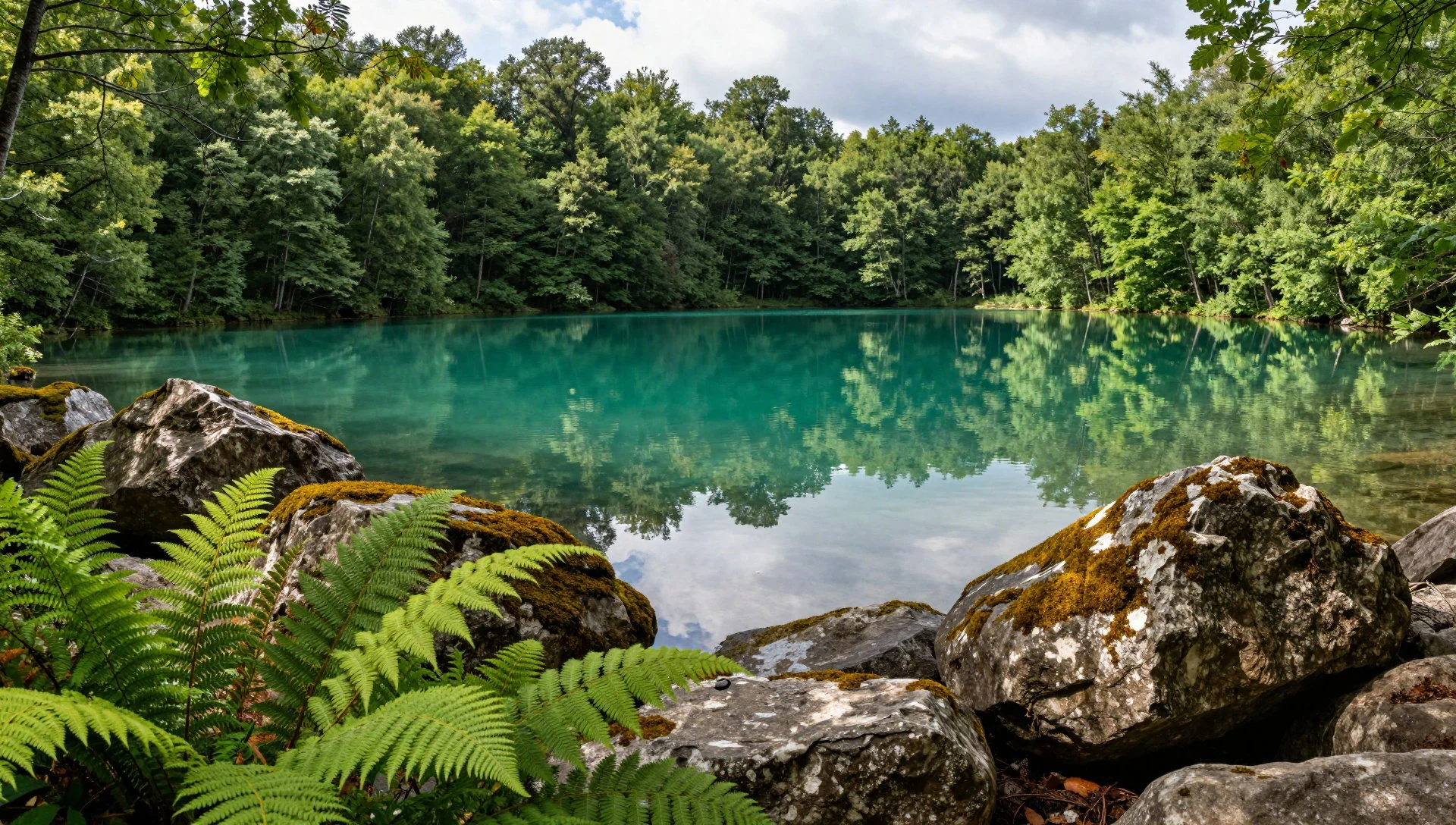
- Haghartsin Monastery — Haghartsin valley, Tavush
Dilijan National Park includes the wooded valley around Haghartsin Monastery, where stone monastic buildings sit against forested slopes. A wide view across this part of the park shows ridges folding away from the monastery grounds. The site is a cultural monument that shares the park with lakes and trails. Walkers use it as a landmark and a pause, then continue on the forest paths that pass nearby.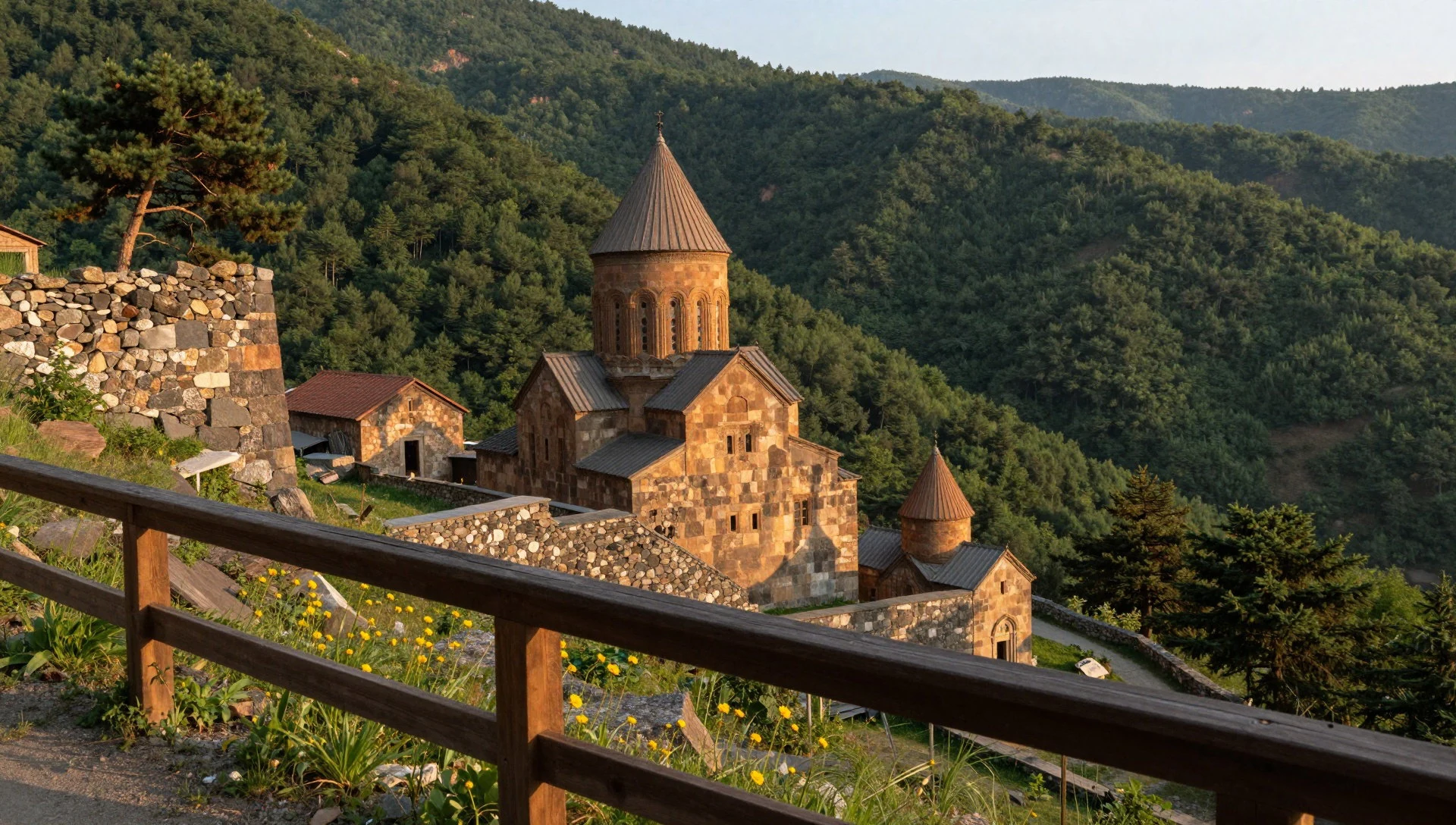
- Goshi Lich (Gosh Lake) — Forest inland from Dilijan town
Dilijan National Park also holds Goshi Lich, called Gosh Lake, named with Clear Lake and Leech Lake among the park's waters. It lies in the same forested country, set back from the resort streets of Dilijan town. The walk is quieter than the busier lakeshore, with village lanes nearby when the weather stays kind.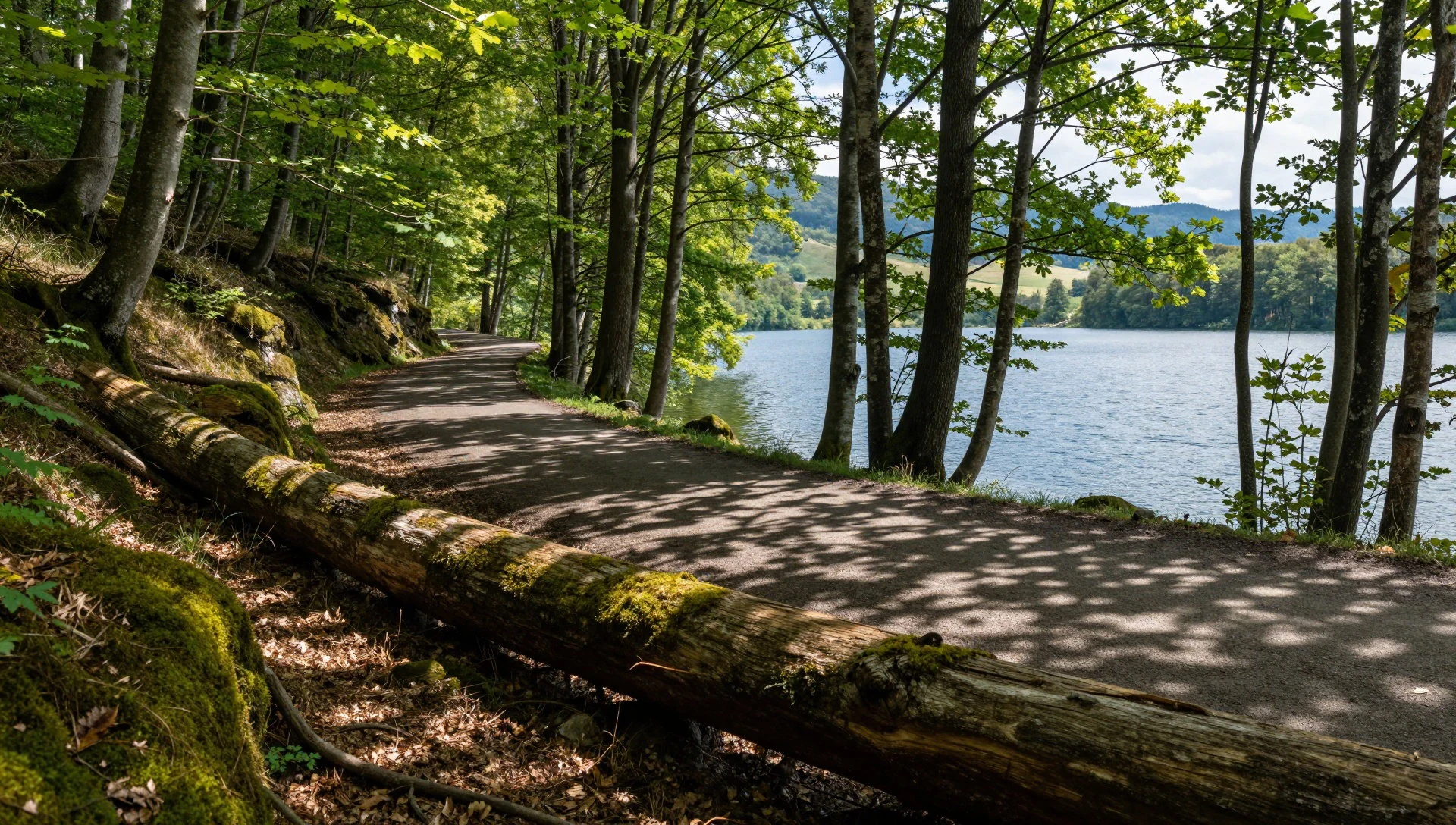
- Aghstev and the side valleys — Aghstev valley and side streams
Dilijan National Park is cut by the Aghstev River and by the Hovajur, Shtoghanajur, Bldan, Haghartsin and Getik. These streams are the practical map of the place: trails follow their valleys between the ridges. Walking here means shade, river noise and a steady climb or descent rather than a single summit path. After rain the paths can be soft, so boots matter more than speed.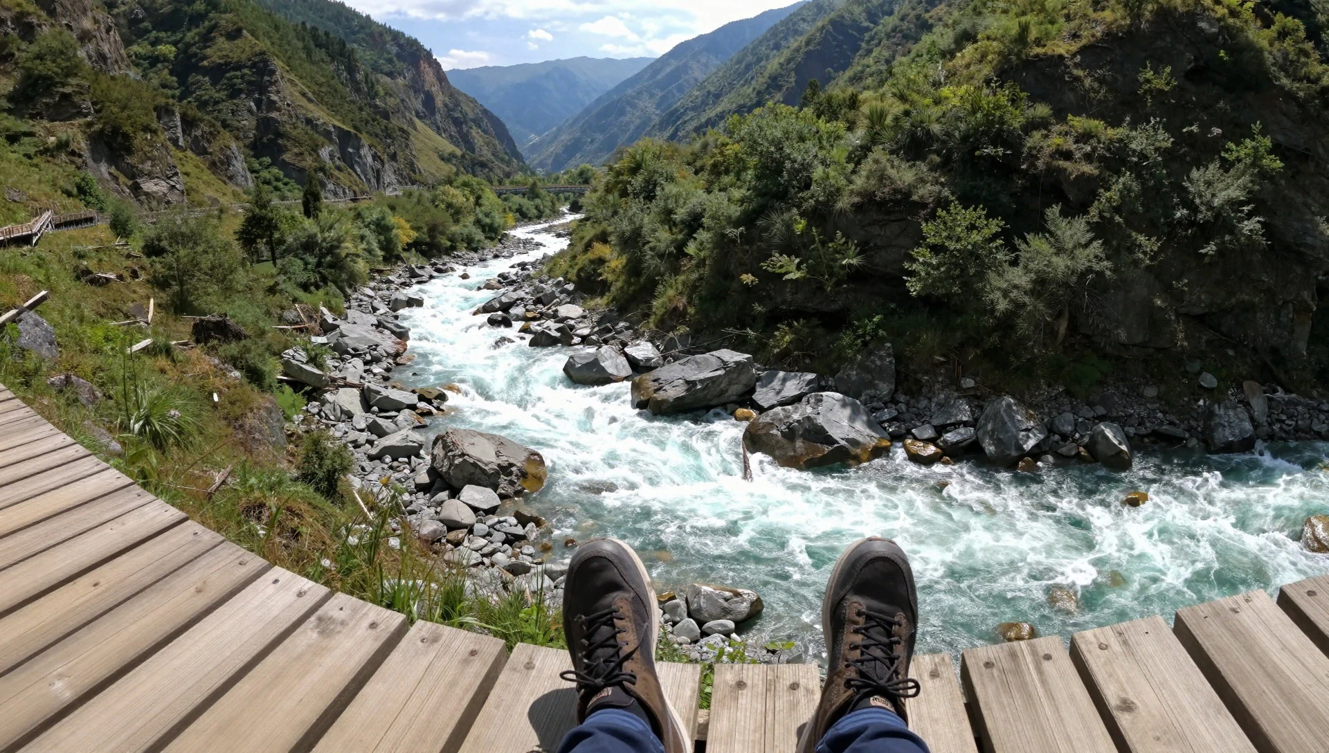
- Dilijan town and the springs — Dilijan town
Dilijan National Park takes in the town of Dilijan, long associated with mineral water springs and resort stays. The springs help explain why a closed reserve sat awkwardly on this map: people already came to drink the water and to rest. The town is the usual base for walks, with food, beds and the railway close at hand.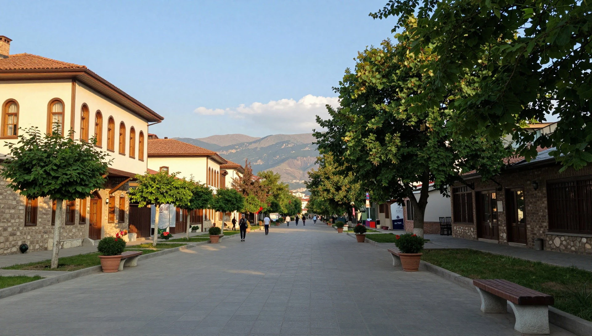
Culture
Dilijan National Park lies in a country that still keeps formal, traditional manners, and the town of Dilijan is no exception. Armenia is openly religious in everyday life, and the monasteries inside and beside the park are working parts of that life, not only old buildings. Courtesy toward women is public and expected: men often pay at a restaurant, offer a seat, open doors and help with bags, and women travellers may find this happens even when no romance is implied. Men visiting with Armenian women are often expected to follow the same habits. Many people here speak warmly of Russia and of the Soviet decades, a feeling tied to a widespread belief that Russian rule prevented the nation's destruction. Politics can come up in conversation and is best met with curiosity rather than argument. Park culture mixes that town courtesy with village habits along the trails. A short greeting on a forest path is ordinary in these valleys. Russian is widely understood as well as Armenian, which shapes talk in shops and shared taxis, and a few words of Armenian are warmly received. Weekend crowds from Yerevan gather at the lakes, and patience for litter or loud music runs short. In Dilijan National Park, cover shoulders and knees inside monastery churches, keep quiet during worship, and ask before photographing people at prayer.
What to wear
Dilijan National Park sees Armenia's traditional dress mainly at festivals, weddings and folk performances in Tavush. The ensemble, often called taraz, varies by region: women wear long layered dresses with an embroidered apron, a belt and a head covering, in wool, silk and cotton with dense stitching; men wear a long fitted coat over a shirt, wool trousers and soft leather boots, sometimes with a sheepskin hat in the mountains. Those clothes belong to ceremony. In Dilijan town people dress in ordinary contemporary clothes, jackets, jeans, knitwear and practical coats, with warmer layers from autumn through spring because the park sits at 1685 metres. A visitor should follow that practical habit. Trails are forest floor, rock and mud, so broken-in walking shoes and a light waterproof are the right kit. At Haghartsin and other churches, shoulders and knees should be covered, and a headscarf is a respectful extra for women inside a service. Bright evening clothes have no place on these paths.
What to eat
- Khorovats — Eateries and roadside grills in Dilijan town
Khorovats, served around Dilijan National Park, is barbecue of beef, lamb, pork or chicken, seasoned with onion and Armenian spices, with grilled tomato, eggplant and pepper on the side. Dilijan town eateries and roadside grills near the trailheads are the usual places.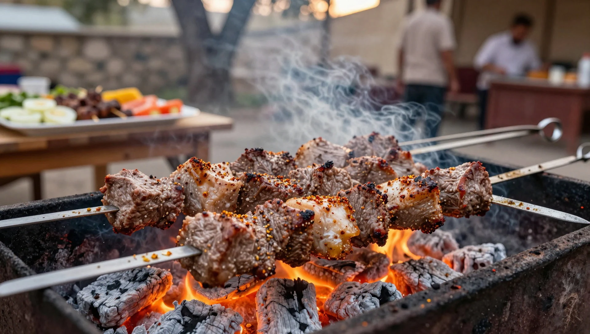
- Kebab — Simple restaurants and roadside grills in Dilijan town
Kebab in the eateries of Dilijan, the town inside Dilijan National Park, is ground meat grilled in the same family as khorovats. It is the everyday, less costly version of that barbecue. Simple restaurants and roadside grills in town serve it with bread and herbs.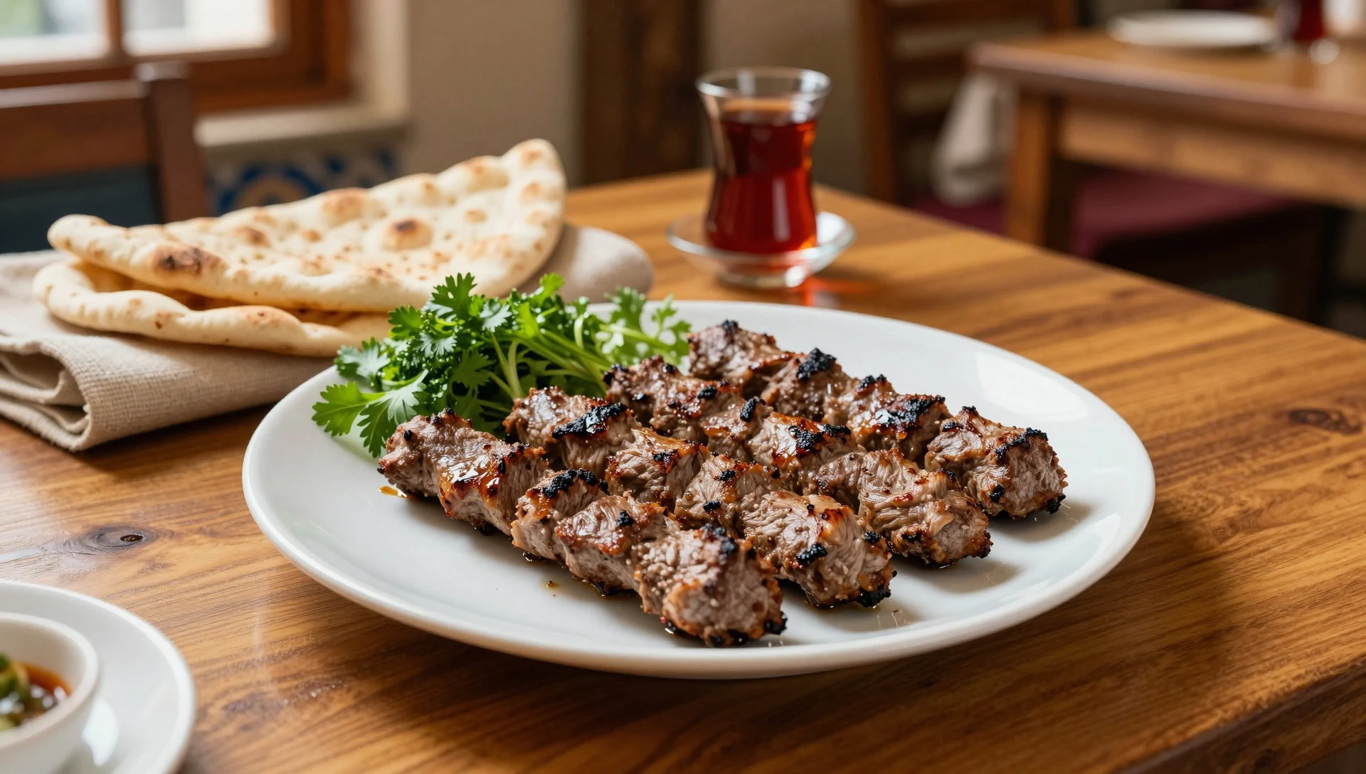
- Harissa — Home-style eateries in Dilijan town
Harissa in Dilijan, inside Dilijan National Park, is a thick porridge of stewed chicken or lamb and soaked, shelled wheat, cooked until smooth. It is an old Easter porridge and a national dish, distinct from any North African paste. Home-style eateries in Dilijan town serve it. - Borscht — Simple eateries and canteens in Dilijan town
Borscht shows up in Dilijan National Park's town kitchens as a beetroot vegetable soup with a deep red colour, a Ukrainian dish that became everyday food across the former Soviet table. In Dilijan it is a starter rather than a rarity. - Lavash — Bakeries and eateries in Dilijan town
Lavash, the thin wheat flatbread baked against the wall of a tonir, comes with meals around Dilijan National Park. Grilled meat and cheese arrive folded in it at town bakeries and eateries. In Tavush it is ordinary daily bread.
Plan it
Best time. Late spring and early autumn suit walking in Dilijan National Park. At 1685 metres the forest trails are the reason to come, and dilijanpark.am is the place to confirm snow or closures before a winter visit.
How long. 2–3
Getting there. Yerevan airport is the usual air gateway for Dilijan National Park. The last leg is by road or on the Yerevan–Ijevan railway, which crosses the park, into Dilijan town and the trailheads. Check dilijanpark.am for current access rather than relying on a fixed timetable.
Budget. mid
Tips
- Start lake paths early at weekends, before day-trip crowds from Yerevan.
- Read dilijanpark.am for which zones and trails are open.
- Carry some cash; small grills and stalls may not take cards.
- Choose boots over city shoes; rain softens the valley paths.
- Settle the Armenia visa question before flying; many passports enter visa-free, and Yerevan airport can admit many others.
Etiquette
- Cover shoulders and knees inside monastery churches.
- Ask before photographing worshippers.
- Keep voices and music down near village houses and churches.
- Let a host insist on paying or opening a door.
Nearby
Sources
- Wikidata Q1984244 (CC0)
- Wikipedia (rev 1362721699) (CC BY-SA 4.0)
- Wikivoyage (rev 5424247) (CC BY-SA 4.0)
- Photo photos/01-dilijan-115.jpg (CC BY-SA 4.0)
- Photo photos/02-dilijan-national-park.jpg (CC BY 3.0)
- Photo photos/03-middle-caucasus-dilijan4.jpg (CC BY 2.5)
- Photo photos/04-2014-prowincja-tawusz-dilid-an-widok-na-okoliczny-krajobraz-.jpg (CC BY-SA 4.0)
- Photo photos/05-0615161427-pano.jpg (CC BY-SA 4.0)
- Photo photos/06-2014-prowincja-tawusz-dilid-an-widok-na-okoliczny-krajobraz-.jpg (CC BY-SA 4.0)
- Photo photos/07-2014-prowincja-tawusz-widok-z-klasztoru-hagarcin-01.jpg (CC BY-SA 4.0)
- Photo photos/08-2014-prowincja-tawusz-widok-z-klasztoru-hagarcin-02.jpg (CC BY-SA 4.0)


