Dasht-e Lut
Dasht-e Lut, Iran
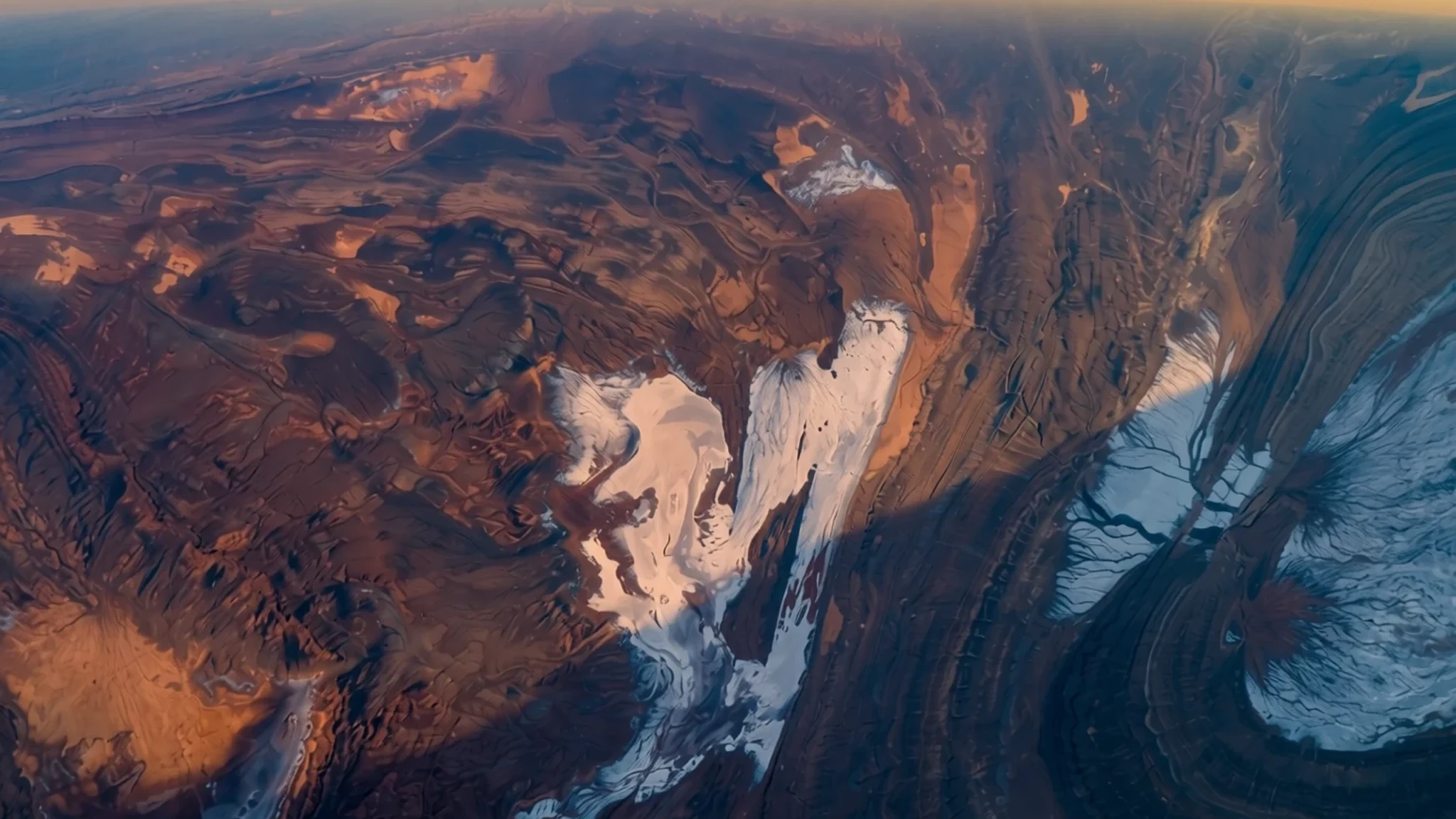
Dasht-e Lut is a vast desert of salt flats, ridges and dunes in eastern Iran, where the ground has recorded some of the highest surface temperatures known on Earth.
The place
Dasht-e Lut covers parts of Kerman and Sistan-Baluchestan provinces in eastern Iran. Its name combines lut, meaning bare or empty, with dasht, meaning plain, so it roughly translates as the plain of emptiness. Both parts of that name fit. The east is a low plateau of salt flats. The centre has been carved by wind into long parallel ridges and furrows, cut through by ravines and sinkholes. To the south-east, dunes climb to heights among the tallest in the world. Iran's plateau is ringed by mountains and drains into separate basins, and this desert is one of the largest of them. In spring, rainwater runs briefly down from the Kerman mountains, then vanishes and leaves rock, sand and salt behind. The area covers about 51,800 square kilometres, the second-largest desert in Iran after Dasht-e Kavir. The surface reached 70.7 °C in an early satellite reading, and later analyses have recorded even higher values. Kerman province is also rich in vertebrate fossils from several geological periods, which makes it a favourite with palaeontologists. The desert is on the UNESCO World Heritage List, but it is the emptiness itself, rather than any built landmark, that defines a visit.
Its story
Dasht-e Lut entered climate science largely through satellites. For centuries its name has described a landscape that offers little to settle on, and travellers crossing it relied on local knowledge rather than any measure of its heat. When a NASA satellite instrument began returning detailed surface readings, researchers found that the ground here reached 70.7 °C in one of them, an early reading that later analyses have far exceeded. The number needs careful reading. It describes the surface, not the air, and the air temperature at the time was considerably lower. The measurements also carry a small margin of error. Newer analyses of satellite data have reported even higher surface values, which confirms that the heat is real, though the exact figures depend on method. There are still no permanent weather stations in the desert, so its climate is estimated from neighbouring stations, which suggest that very little rain falls in a year. Comparisons with the Atacama Desert, another very dry landscape, have become a common way of describing that rainfall. Kerman province is also a rich site for fossils from several geological periods, and palaeontologists have worked here for a long time. The desert's story is therefore one of measurement as much as landscape: a place that is hard to reach, hard to instrument and easy to misjudge from a single number.
What to see
- The kaluts of Shahdad
The kaluts are yardangs, ridges of hardened sediment that wind has carved into long, fluted shapes, some resembling towers or the walls of a ruined town. The shapes are most striking in the low light of early morning and late afternoon, when shadows bring out the grooves. Reaching them usually means a guided day trip, because the tracks are soft and the distances are long.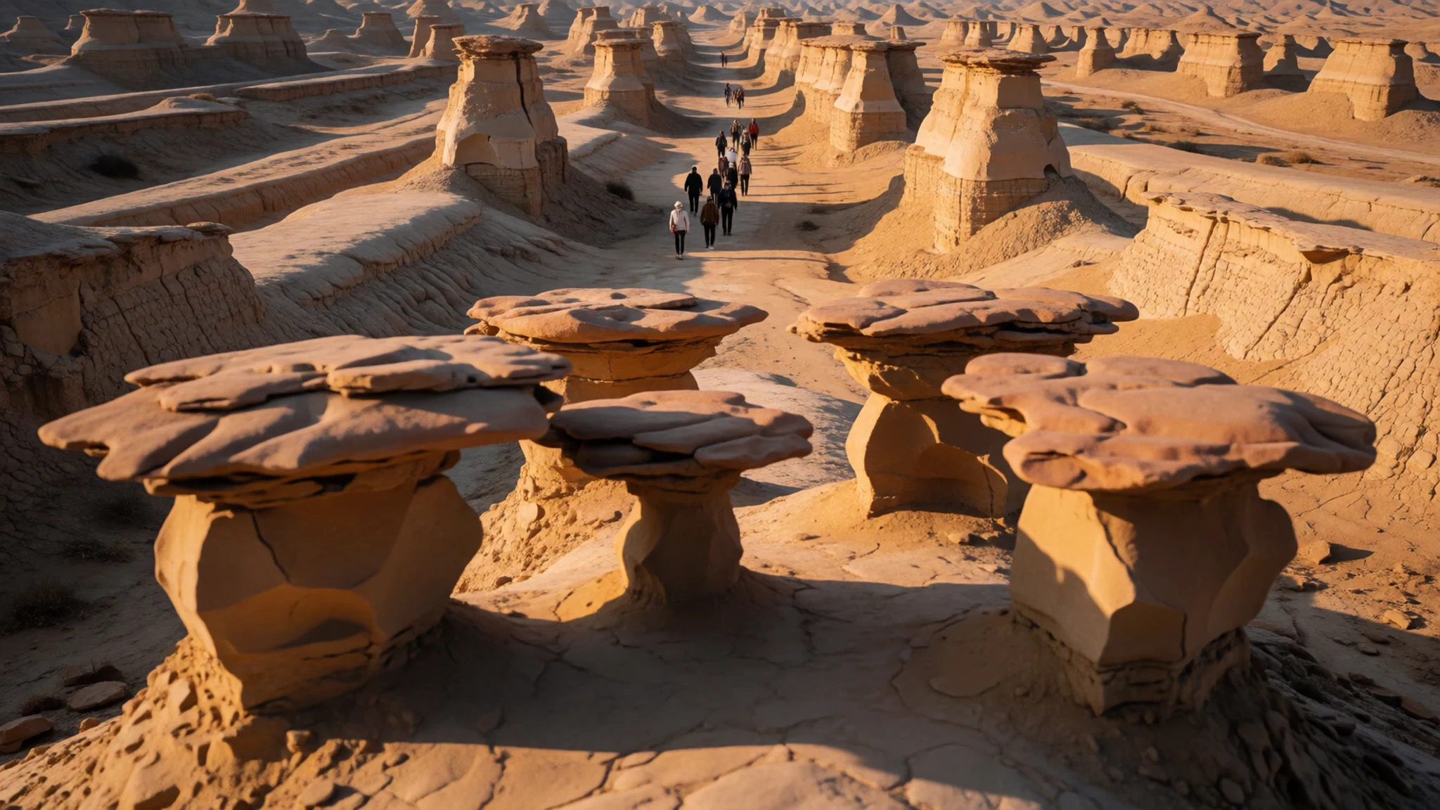
- The central ridges and furrows
Wind has carved the middle of the desert into long, parallel ridges and furrows that run for many kilometres. The ridges rise tens of metres at their highest, and the pattern is broken by ravines and sinkholes that make driving slow and rough. The ground can shift quickly from firm to crumbling, so stay with your driver and avoid wandering on foot.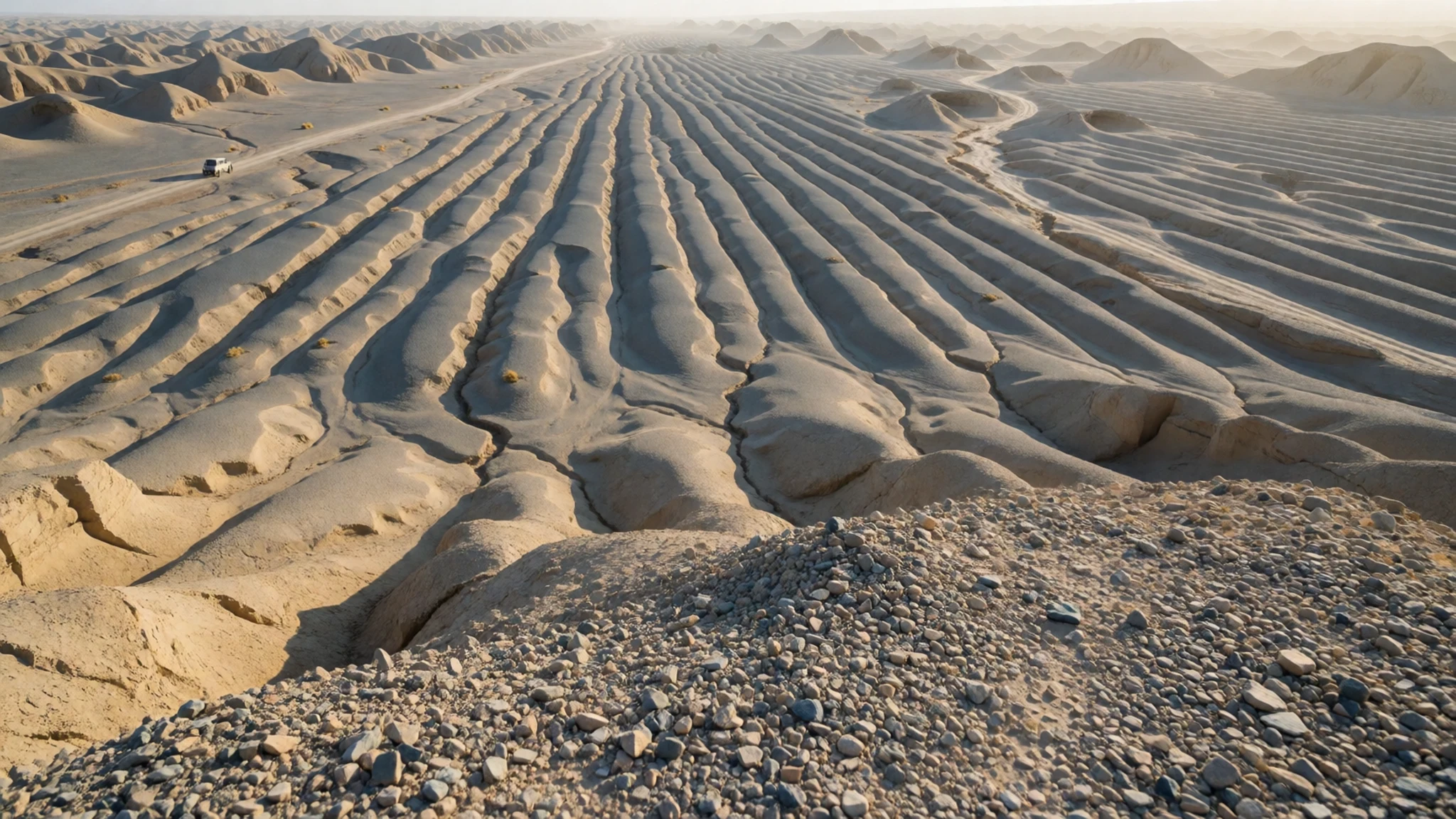
- The eastern salt flats
The eastern edge of the desert is a low plateau covered with salt flats. Walking out onto the white crust in the morning is easier than at midday, when the glare and heat are fierce. The salt is hard and can cut through thin soles, so closed, sturdy shoes make sense here.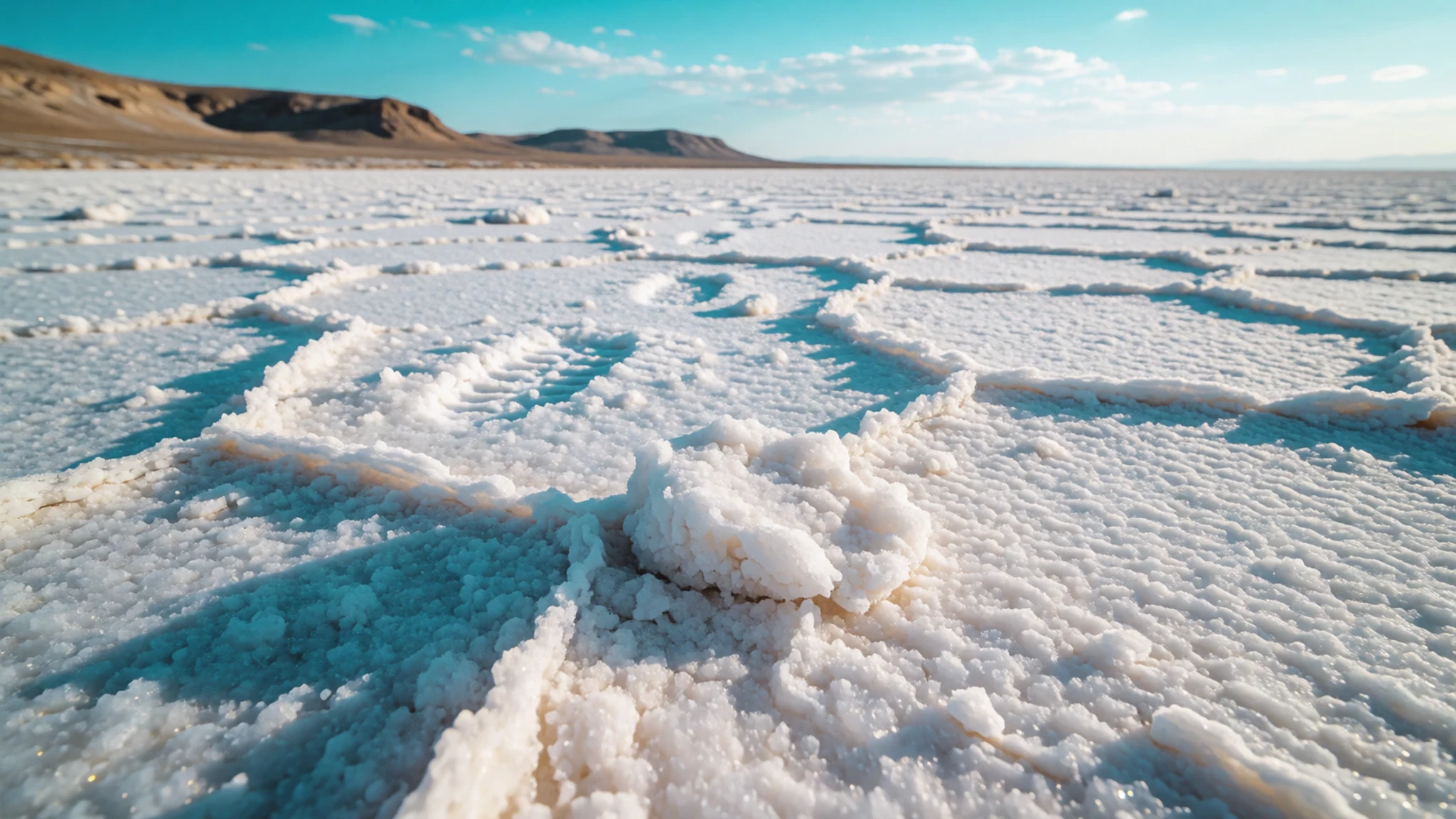
- The south-east dune fields
The south-east is open sand in the style of the Sahara's ergs, with dunes that climb to great heights. Sand moves constantly, so the shapes change between seasons. Dune trips are best made with an experienced local guide, who knows the safe routes and where the sand is firm enough to cross.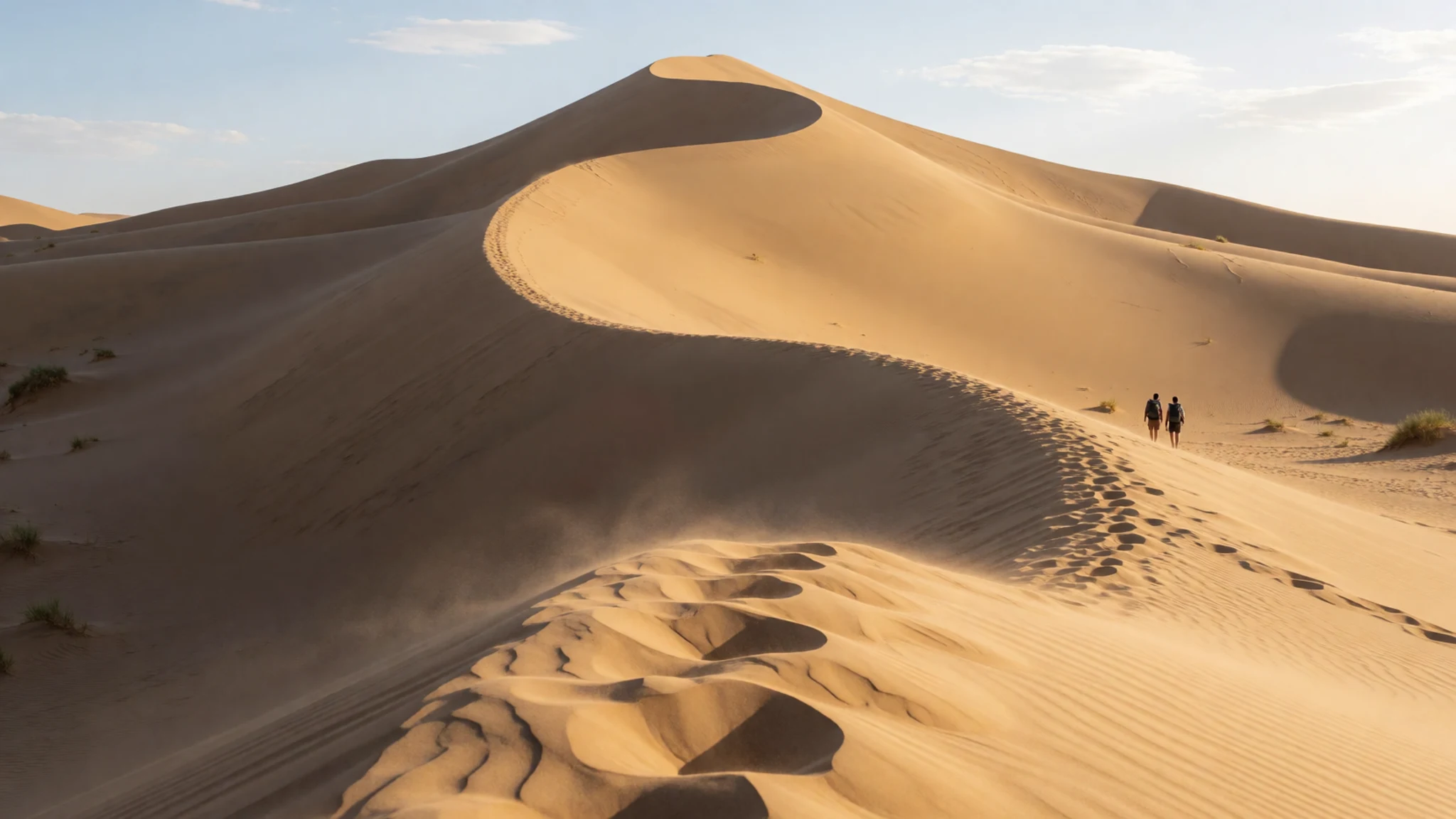
- Maymand cultural landscape
Maymand is a village in Kerman province whose cultural landscape is on the UNESCO World Heritage List, and it lies apart from the desert itself. It shows how people have lived in dry country over long periods. Plan it as a separate outing rather than a stop on a dune trip, and keep to the village paths, since homes are private.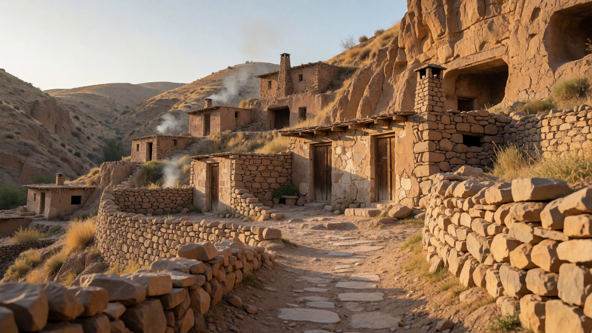
Culture
Dasht-e Lut is a sparsely populated desert, and its culture lives in the towns and villages on its edges, across Kerman and Sistan-Baluchestan provinces. Most people speak Persian, while Baluch communities in the south-east keep their own language, music and dress. Hospitality matters. Visitors are often offered tea or fruit, and accepting it with a word of thanks is a polite way to take part. Religion shapes daily life. Friday is the main day of rest, mosques are active across the region, and public behaviour is generally more conservative outside the big cities. Local people are often curious about foreign visitors, and conversations usually start with questions about family and home. Ask before photographing people, especially women, and keep cameras away from military sites and police posts.
What to wear
Traditional dress around Dasht-e Lut reflects the region's mix of Persian and Baluch communities. Baluch women have long worn richly embroidered dresses with loose trousers, often made of dark cloth with bright thread at the neck and cuffs, together with headscarves. Cotton and wool were the everyday materials, and heavier embroidery marked dress for weddings and festivals. Today, people in towns such as Kerman mostly wear modern clothes. Women wear a long coat, the manteau, and a headscarf in public, while men wear trousers and shirts. Visitors should dress for heat and rough ground: loose, long-sleeved cotton, trousers, and a scarf that can be pulled over the hair and around the neck for shade from sun and sand. Carry a wide hat, sunglasses and closed shoes with good grip, since salt crust and sand are both hard on sandals. Dressing modestly is expected in Iran, so pack more layers than you think you need.
What to eat
- Kashk bademjan — Family-run lunch counters in the bazaar area of Kerman city
A smoky aubergine dish, with fried aubergine mashed and layered with kashk, a dried and fermented whey product, then topped with fried onion and sometimes mint. It is a classic of home cooking across Iran and turns up at most family-run eateries serving stews and rice.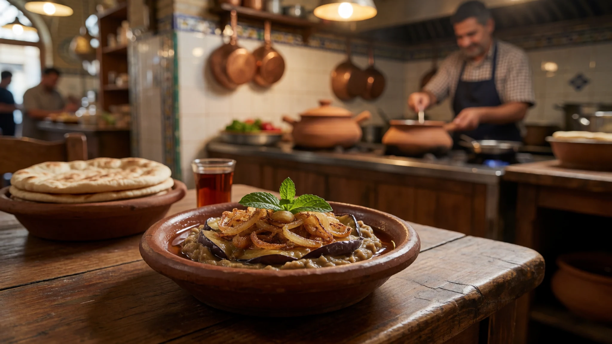
- Dizzy — Traditional eateries in the older neighbourhoods of Kerman, usually at lunchtime
A slow-cooked stew of lamb, chickpeas, white beans and potato, cooked in a clay pot. It is served in two stages: the broth first, then the mashed meat and vegetables with bread. Eat it with raw onion and herbs, and allow time, since it suits a long, unhurried lunch.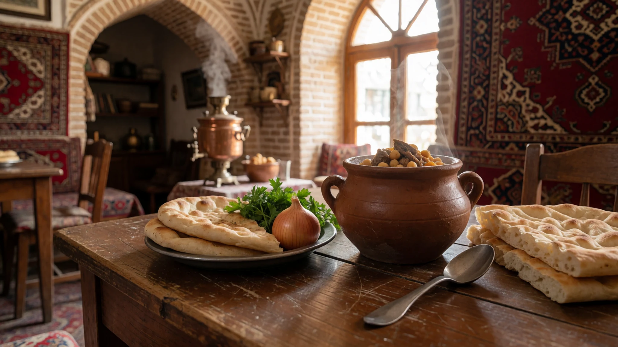
- Khoresht sabzi — Family kitchens and neighbourhood eateries across Kerman city
A herb stew built on a large amount of fresh herbs, such as parsley, coriander and fenugreek, cooked slowly with dried limes and kidney beans. It is served over saffron rice. Look for it at a family kitchen or any local eatery, since it is a home dish first. - Kalle pacheh — Early-morning breakfast stalls on the older streets of Kerman city
A breakfast of sheep's head and trotters, slow-cooked overnight until the meat falls from the bone. It is eaten early in the morning with flat bread, pickles and herbs, and it is an acquired taste for many visitors. Vegetarians should look elsewhere for breakfast. - Shohan — Confectionery shops and bazaar stalls in Kerman city
A brittle toffee flavoured with saffron and often pistachio, sold in pieces and packed in tins. Its flavour is nutty and mildly floral, and it keeps well, which makes it a practical gift to carry back from the desert edge. Buy a box rather than single pieces.
Plan it
Best time. Spring (March–April) and autumn (October–November) are the most comfortable months. Summer surface heat in the desert is extreme, so June to August is best avoided, and the winter months are cooler but can still feel harsh on open ground at night.
How long. 3–4
Getting there. Fly into Kerman International Airport (KER), which has regular flights to major Iranian cities. Kerman is also well served by bus and by the national rail network, which connects it to Yazd. The last leg to the desert is by road, usually with a local driver or guide.
Budget. mid
Tips
- Book a local driver or guide for any trip into the desert, since there are no permanent weather stations and conditions are hard to predict
- Carry more water than you think you need, and tell someone your route and return time
- Start walks early in the morning and avoid the sand at midday
- Carry cash, because card payments may not work outside the larger towns
- Check current travel advice for Sistan-Baluchestan before you go, as conditions can change
- Leave a day spare in your plans for weather, road conditions and checkpoints
Etiquette
- Dress modestly in public, with loose, long-sleeved clothing and a headscarf for women
- Ask before photographing people, and never photograph military sites or police posts
- Accept hospitality with thanks, and avoid pressing visitors to eat more than they want
- Keep alcohol out of your plans, since it is illegal in Iran
Nearby
Sources
- Wikidata Q767128 (CC0)
- Wikipedia: Lut Desert (rev 1373248999) (CC BY-SA 4.0)
- Wikivoyage: Kerman (province) (rev 5247667) (CC BY-SA 4.0)
- Photo: Sand castles, Dasht-e Lut desert, Kerman (Betta27) (Public domain)
- Photo: Lut Desert in Kerman Province 02 (Ninaras) (CC BY 4.0)
- Photo: Iran provinces in Abbasid Caliphate (پرسی سایکس) (CC BY 3.0)
- Photo: Lut Desert Yardangs (Hadi Karimi) (CC BY 3.0)
- Photo: STS-2 Lut Desert (NASA) (Public domain)
- Photo: Map of Iran biotopes, simplified (Fabienkhan) (CC BY-SA 1.0)
- Photo: Panoramio, iranactor (iranactor) (CC BY 3.0)
- Photo: Dasht-e Lut DSC 9061 DxO (Lrkrol) (CC BY 4.0)


