Cordillera Huayhuash
Cordillera Huayhuash, Peru
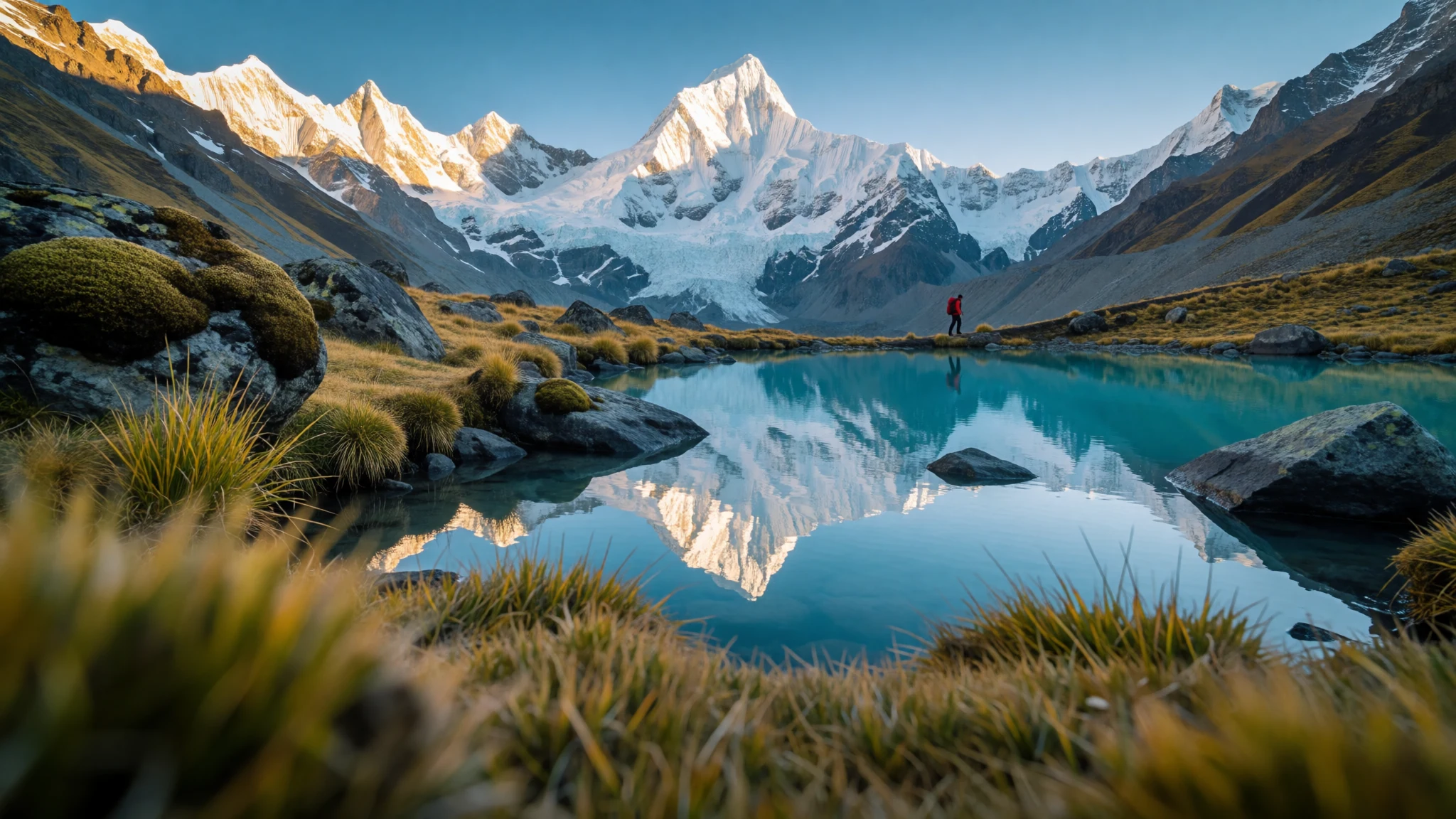
The Cordillera Huayhuash offers raw Andean wilderness, where jagged glaciated summits meet turquoise lakes along challenging high-altitude trekking circuits.
The place
The Cordillera Huayhuash sits in the high Peruvian Andes, marking a rugged natural boundary between mountain regions. Running north to south, this compact mountain range is celebrated for its dense concentration of dramatic ice-clad peaks rising abruptly above steep alpine valleys. Unlike broader mountain chains, the range is remarkably sharp and compressed, dominated by formidable ice walls and narrow ridges that draw remote trekkers and serious mountaineers from across the globe. Glacial runoff feeds brilliant turquoise tarns tucked directly below sheer rock precipices.
The physical terrain is demanding and sparsely settled. High mountain passes cross windswept grasslands belonging to the wet puna ecoregion, where rural families herd livestock in high valleys. Infrastructure remains minimal across the inner range, with unpaved roads terminating at remote foothill villages and leaving the interior accessible only on foot or pack mule. Weather conditions shift rapidly within the mountains. Clear morning skies frequently give way to afternoon clouds, freezing winds, and sudden snowfall even during the dry season. The sheer vertical relief creates striking microclimates where sunny alpine meadows sit directly beneath tumbling icefalls, offering an uncompromised experience of wild high-altitude landscape.
Its story
The Cordillera Huayhuash has long held legendary status in the history of global mountaineering and Andean geography. For generations, indigenous Quechua-speaking communities grazed livestock across these high pastures, naming peaks after local fauna and natural phenomena. Remote and isolated from main trade routes, the range remained largely quiet until international climbing expeditions began exploring its intimidating ice faces in the twentieth century. The steep walls and fragile snow cornices earned the region a reputation as one of the most technical and challenging climbing areas in South America.
Mountaineering history here is inextricably linked with extraordinary survival stories. The west face of Siula Grande gained international fame following a harrowing struggle of endurance by alpine climbers, chronicled in modern mountain literature. That epic account transformed the Huayhuash into a sanctuary of high-altitude adventure, drawing mountaineers to test their skill against extreme ridges and unpredictable weather.
In recent years, community-led stewardship has reshaped how the region is experienced. The establishment of protected zone status helped balance nature conservation with traditional pastoral rights and eco-tourism. Local communities along the circuit now manage entry checkpoints and campsites, ensuring visitor revenue directly supports mountain villages.
What to see
- Yerupajá — Central Cordillera Huayhuash
Yerupajá stands as the towering centerpiece of the range, reaching an elevation of 6,635 metres. Celebrated for its razor-sharp summit ridge and vertical ice faces, it dominates the skyline along the trekking circuit. Trekkers admire its wall from mountain passes, while climbing it remains reserved for elite mountaineers.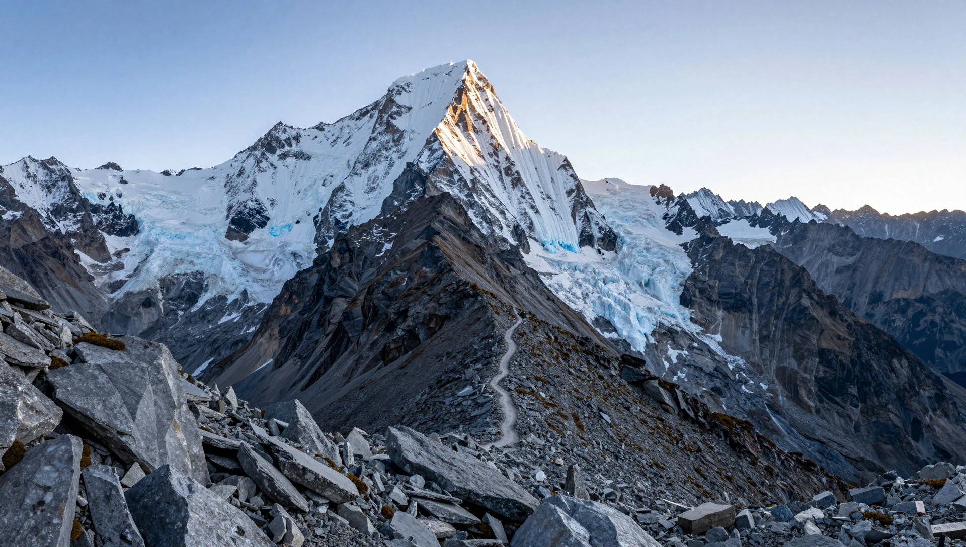
- Siula Grande — Southern sector of the range
Siula Grande gained worldwide fame through classic mountaineering survival lore. Its formidable west wall presents a dramatic cliff of ice, snow, and bare rock. Viewed from high alpine campsites and nearby lakes, the peak forms one of the most iconic mountain panoramas in the Andes.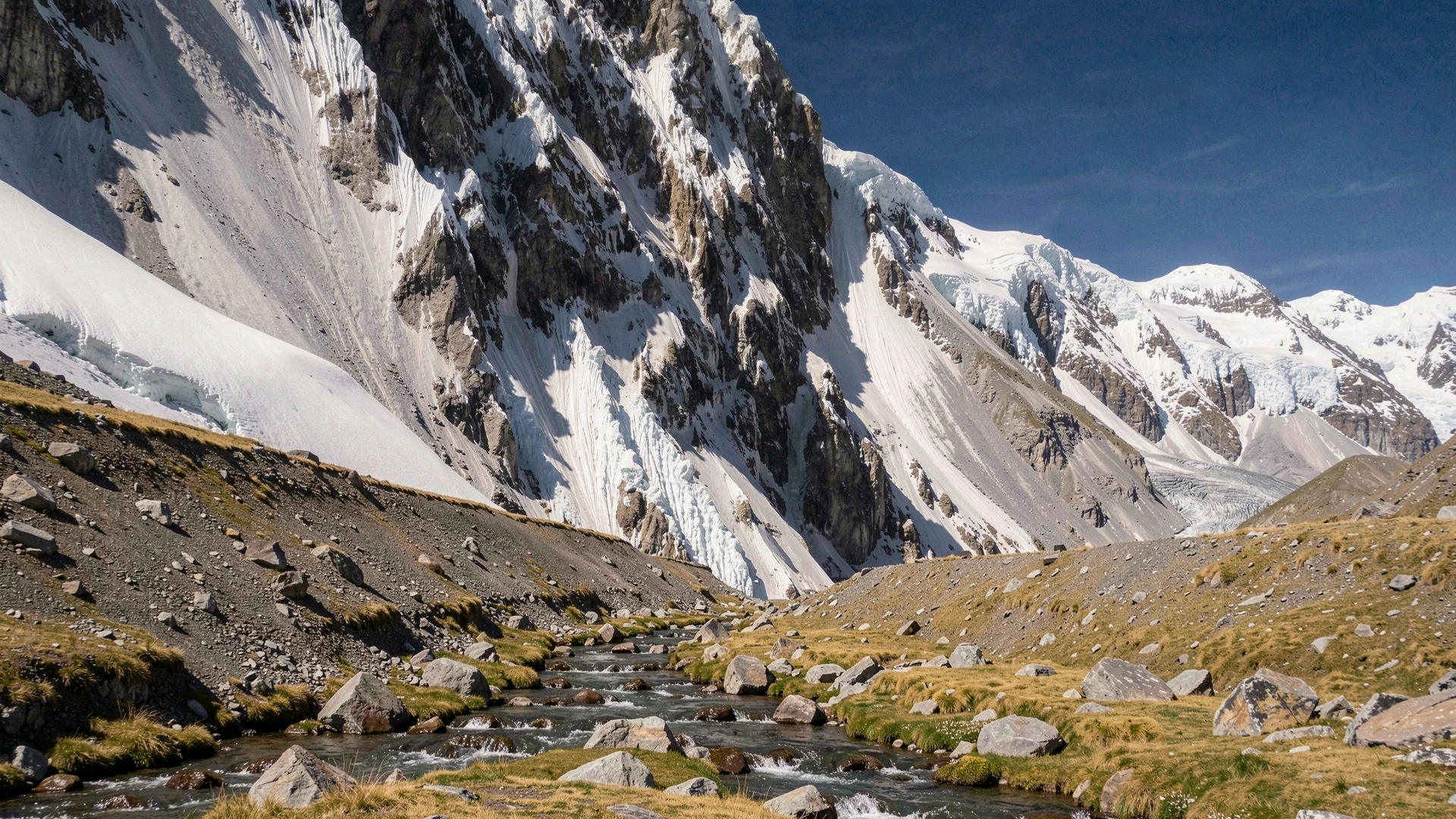
- Jirishanca — Northern sector of the range
Jirishanca is renowned among climbers for its steep needle peak and intricate ice formations. Often referred to as one of the most striking spires in Peru, its sheer rock walls reflect beautifully in the alpine lakes below during early morning light.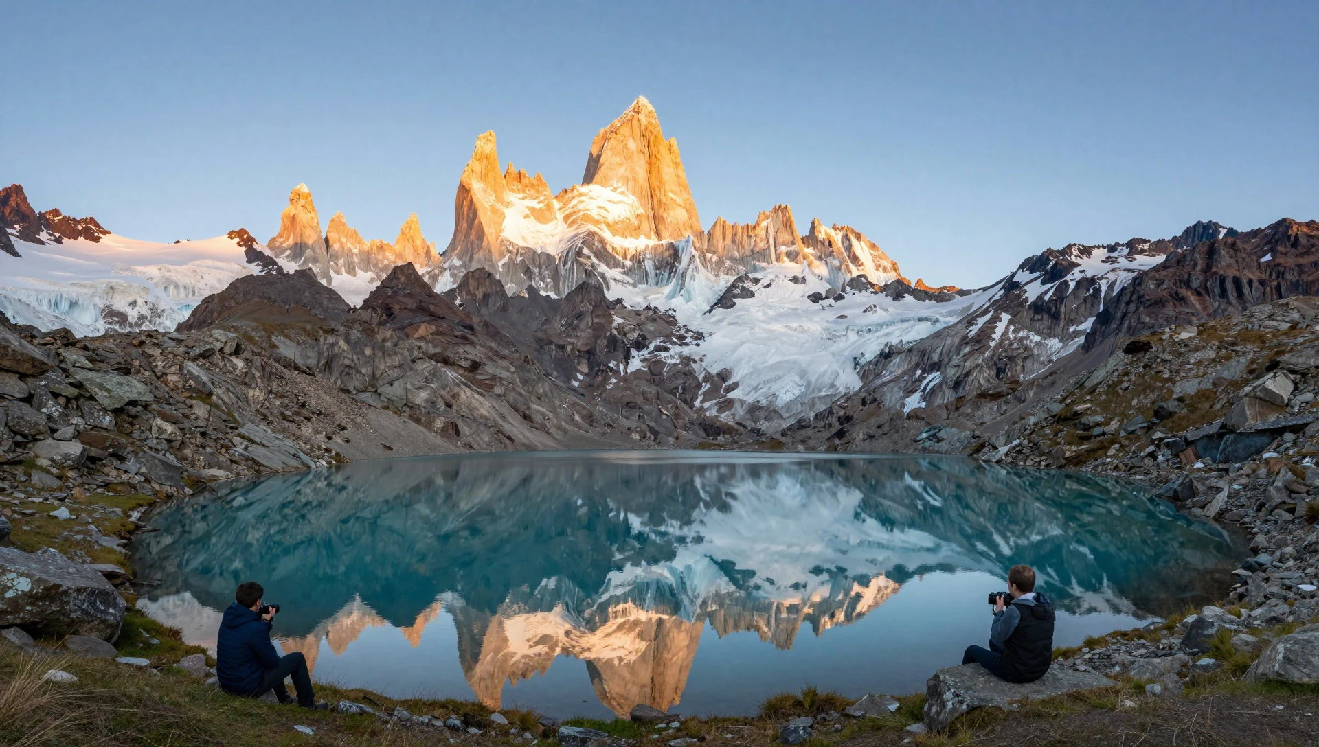
- Chiquián — Bolognesi Province
Chiquián serves as the primary gateway town for expeditions entering the range. Set on a high plateau with panoramic mountain views, this traditional settlement offers a comfortable place to adjust to the altitude, buy trek supplies, hire muleteers, and taste regional highland cooking.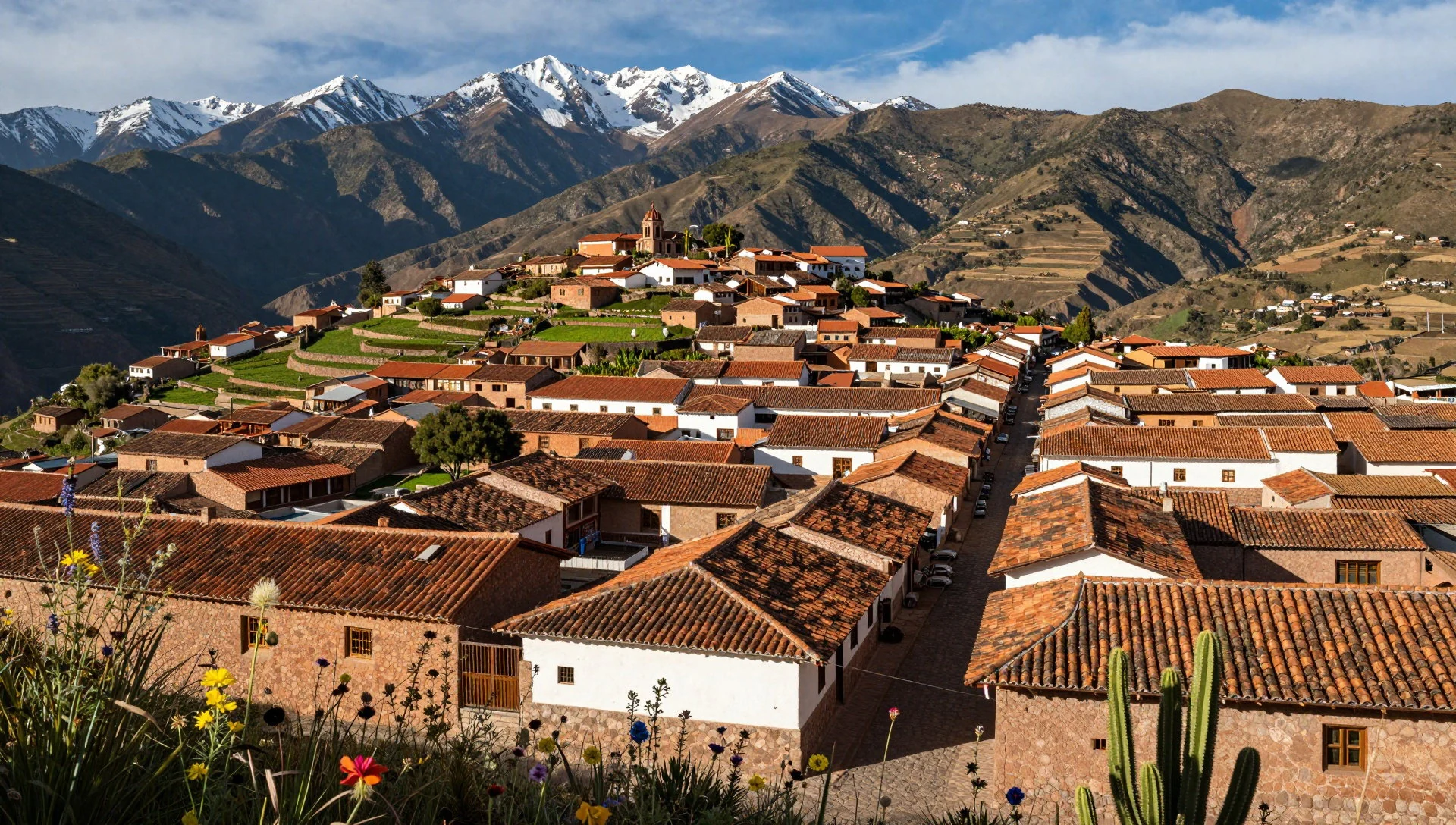
- Laguna Jahuacocha — Northern circuit trail
Laguna Jahuacocha is a magnificent glacial lake lying beneath the shadows of Yerupajá and Jirishanca. Surrounded by yellow puna grass and wetland pastures, its calm blue waters mirror the surrounding glaciated peaks, creating one of the most popular campsites on the circuit.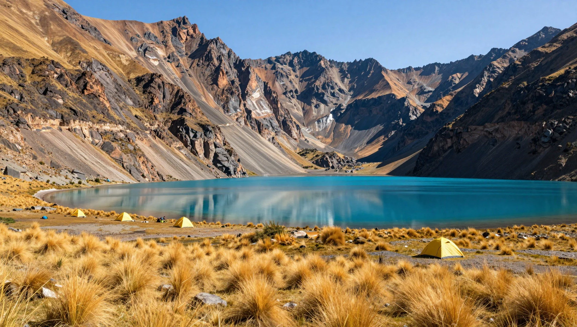
Culture
In the Cordillera Huayhuash, local life is shaped by high-altitude pastoral traditions and a deep connection to the Andean landscape. Indigenous Quechua heritage remains strong throughout rural settlements, where livestock herding and small-scale agriculture sustain mountain families. Language, folklore, and everyday customs carry the imprint of centuries of highland isolation. Chewing raw coca leaves is a deeply rooted tradition across mountain villages, serving as both a social ritual and a practical remedy against cold, fatigue, and altitude sickness.
Peruvian national pride is strongly felt in these valleys, accompanied by warm hospitality toward travellers who show genuine respect for local customs. Communities along the circuit manage campsite access and trail maintenance, ensuring tourist entry fees directly benefit village families. When interacting with locals, polite modern Spanish or respectful traditional terms should always be used. Always ask permission before photographing village residents, and pay local community trail fees promptly in cash.
What to wear
In the Cordillera Huayhuash region, traditional textiles reflect rich Andean heritage through handwoven garments suited to severe mountain weather. Rural women often wear bright layered skirts known as polleras, paired with embroidered shawls called llicllas crafted from hand-spun sheep or alpaca wool. Structured brimmed felt hats complete the traditional highland attire, worn during village festivals, market days, and daily work outdoors. These textiles display distinct geometric patterns that signal specific valley origins.
Everyday local dress today combines traditional elements with practical modern garments. Farmers and mountain guides frequently pair synthetic thermal fleeces, heavy trousers, and rubber boots with traditional felt hats and handwoven waist sashes to withstand damp mountain trails.
For visitors trekking the circuit, technical multi-layering is vital. Daytime temperatures can be warm under direct sun, but drop below freezing at night. Pack high-quality thermal base layers, a fleece mid-layer, a heavy down jacket, and a windproof waterproof outer layer. Sturdy waterproof trekking boots with firm ankle support are mandatory, along with UV sunglasses and a wide-brim sun hat.
What to eat
- Mate de Coca — Gateway towns and mountain camps
A traditional hot tea brewed from whole coca leaves, widely consumed across the Peruvian Andes. It provides a comforting drink that helps acclimatise to high altitude and eases fatigue. Found at village teahouses, trailheads, and trek camps.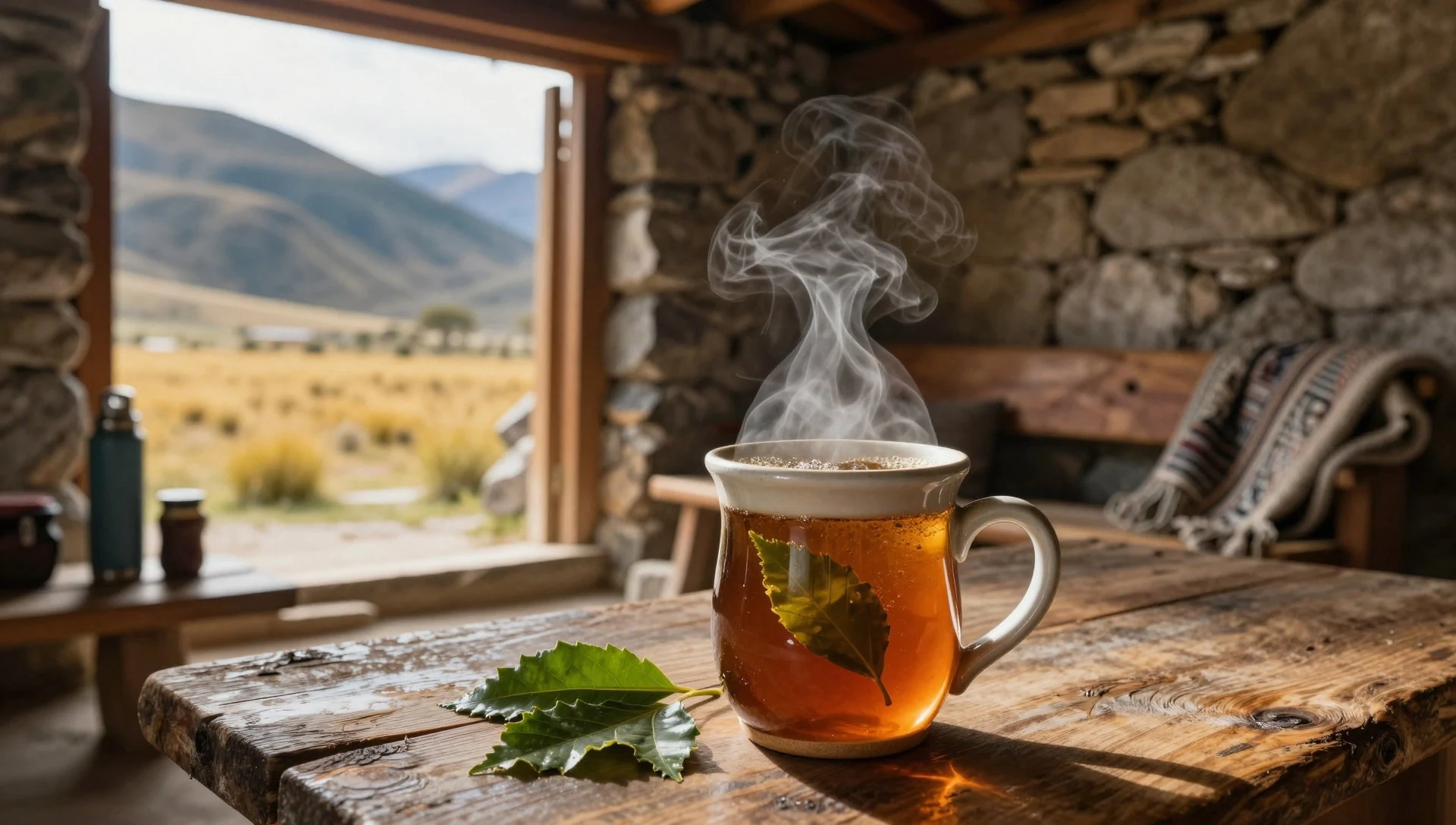
- Pachamanca — Highland community restaurants
A festive Andean feast of marinated meats, potatoes, corn, and legumes baked underground using heated stones. The slow cooking infuses deep herbal flavours. Available at traditional village eateries during weekend gatherings.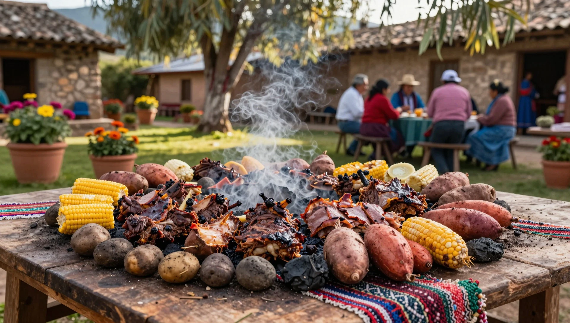
- Anticuchos — Town street markets
Popular street-food skewers of beef heart marinated in garlic, vinegar, and ground peppers, then grilled over open flames. Served hot alongside roasted potatoes and corn. Found at evening street stalls in Chiquián. - Cau-Cau — Regional mountain eateries
A hearty criollo stew made with tripe, diced potatoes, peas, and mild yellow chili pepper, seasoned with mint. It makes a filling meal after returning from the trail. Served in traditional family eateries. - Cuy Chactado — Traditional highland restaurants
A prized Andean delicacy of guinea pig fried under heavy flat stones until crispy on the outside and tender within. Served with native potatoes and hot chili sauce at celebratory restaurants.
Plan it
Best time. May to September during the dry mountain summer, when days are clear and sunny; wet weather dominates from November to April.
How long. 8–12
Getting there. Fly to Lima, travel by long-distance bus north to Huaraz or Chiquián, then hire local transport or arrange a trek service to reach the circuit trailheads.
Budget. mid
Tips
- Acclimatise for two or three days in Huaraz before starting high mountain passes
- Carry sufficient cash in local currency for community checkpoint fees along the trail
- Bring a cold-weather sleeping bag and durable four-season tent for icy nights
- Purify all drinking water collected from mountain streams
- Hire a certified local guide and muleteer team to support your trek
Etiquette
- Ask permission before photographing local herders or children
- Respect community campsite rules and pay local entry fees cheerfully
- Accept offered herbal coca tea as a customary gesture of highland hospitality
Nearby
Sources
- Wikidata Q732567 (CC0)
- Wikipedia (rev 1369855944) (CC BY-SA 4.0)
- Wikivoyage (rev 5386000) (CC BY-SA 4.0)
- Photo photos/01-cordillera-huayhuash-from-space.jpg (Public domain)
- Photo photos/02-cordillera-huayhuash-02359.jpg (CC BY 3.0)
- Photo photos/03-jirishanca-southeast-face.jpg (CC BY 3.0)
- Photo photos/04-siula-grande-west-face.jpg (CC BY 3.0)
- Photo photos/05-cordillera-huayhuash-alpine-circuit.jpg (CC BY 3.0)
- Photo photos/06-carnicero-north-face.jpg (CC BY 3.0)
- Photo photos/07-chiqui-n-02336.jpg (CC BY 3.0)
- Photo photos/08-chiqui-n-07335.jpg (CC BY-SA 4.0)


