Copper Canyon
Copper Canyon, Mexico
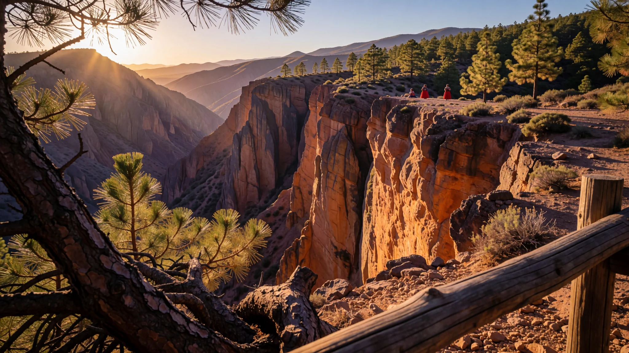
Copper Canyon's deep, copper-walled gorges, reached by a famous mountain railway, reward anyone willing to travel slowly.
The place
Copper Canyon is not a single gorge but a system of six canyons cut into the Sierra Madre Occidental in south-western Chihuahua, in northern Mexico. Together they cover about 65,000 square kilometres. Six rivers drain the western side of the Sierra Tarahumara and join the Rio Fuerte, which runs out to the Gulf of California. The canyon walls take on a copper-green tint, which is where the name comes from. Taken together, the system is deeper than the Grand Canyon across the border, although the Grand Canyon as a whole is bigger than any single one of these gorges. Efforts to give the area national park status have stalled, partly because of disputes between loggers and the Rarámuri people.
The rim country sits at roughly 2,350 metres above sea level and is cool and pine-covered, while the air at the bottom of the canyons stays warm and humid all year. Creel is the usual base, a small town with hostels and a few shops, and the easiest place to arrange guides and walks. Hidalgo de Parral, further south, is a quieter alternative and the gateway to the little-visited Sinforosa Canyon. Inside the gorges, towns such as Batopilas and Urique move at a noticeably slower pace. Shops and restaurants keep simple hours, opening late and closing early, and the atmosphere can feel a long way from Mexico City. That slowness is the point. Expect rough roads, patchy phone signal, and days shaped by the light and the weather.
Its story
Spanish colonists reached the Copper Canyon country in the 17th century, arriving in Chihuahua with two aims: to take gold and silver from the land and to spread Christianity among its people. They called the local Indigenous people Tarahumara, a name drawn from Rarámuri, the word the people use for themselves. Some scholars suggest it may mean something like 'the running people', a fitting reference to a community famed for long-distance running. Silver was found on Tarahumara land during that century, and the mining that followed relied on forced labour. Some Rarámuri were enslaved and sent into the mines. Resistance came in small uprisings, but these achieved little. Over time the people were pushed off the more desirable ground and up into the canyon cliffs, where the land was harder to farm and harder for outsiders to reach.
That retreat shaped the canyons as they are known today. Life in the high country and the gorges became a matter of adapting to steep slopes and a dry, demanding climate, and the Rarámuri built a way of living that has lasted in the cliffs for generations. The story here is as much one of endurance as of loss.
Outsiders returned in the form of the railway. Plans for a line through the Sierra Madre date to the late 19th century, but the Mexican Revolution, a shortage of money and the sheer difficulty of building through such terrain held the work back. The line was not finished until 1961. Its tunnels and bridges now carry passengers past the cliffs the Rarámuri settled first, and the railway has brought visitors, traders and fresh disputes over land use to a region that had long been left alone.
What to see
- Candameña Canyon — Chihuahua, the least visited gorges
Candameña Canyon is the least touristed of the canyons, which makes it the place to go if you want solitude. Reaching it takes effort, and you should go with a local guide who knows the tracks and the weather. Expect quiet river views, steep walls and very few other visitors. Bring water, layers and a plan that leaves time to get back before dark.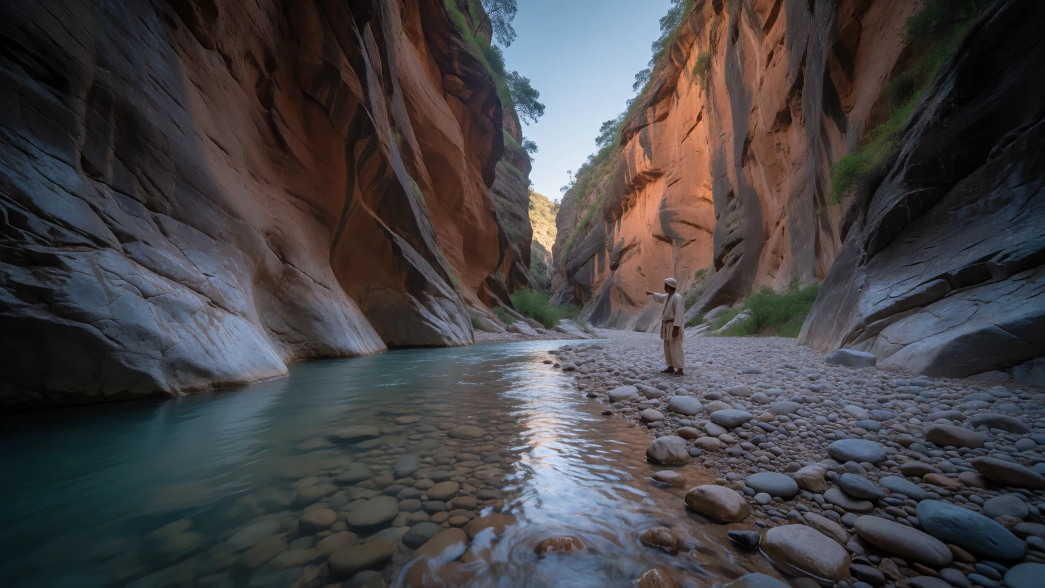
- Piedra Volada Falls — Canyon country, a day trip from the rail towns
Piedra Volada is the highest waterfall in Mexico at 463 metres, and it takes a proper day to reach. Ask locally about the trail, which can be steep and slippery after rain. Start early, before the heat builds, and carry more water than you think you need.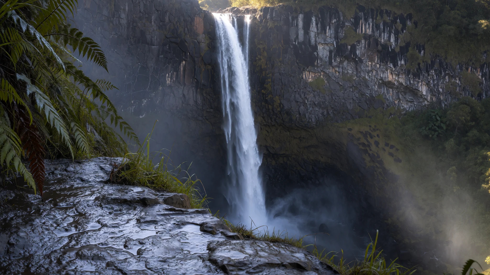
- Divisadero lookout — Divisadero, on the railway
The railway halt at Divisadero has a hotel and a wide view over the canyon. Trains often stop long enough to step off and look, so have your camera ready. Midday can be busy, so go in the morning or late afternoon for softer light. Keep clear of the tracks and platform edges, which are working railway property.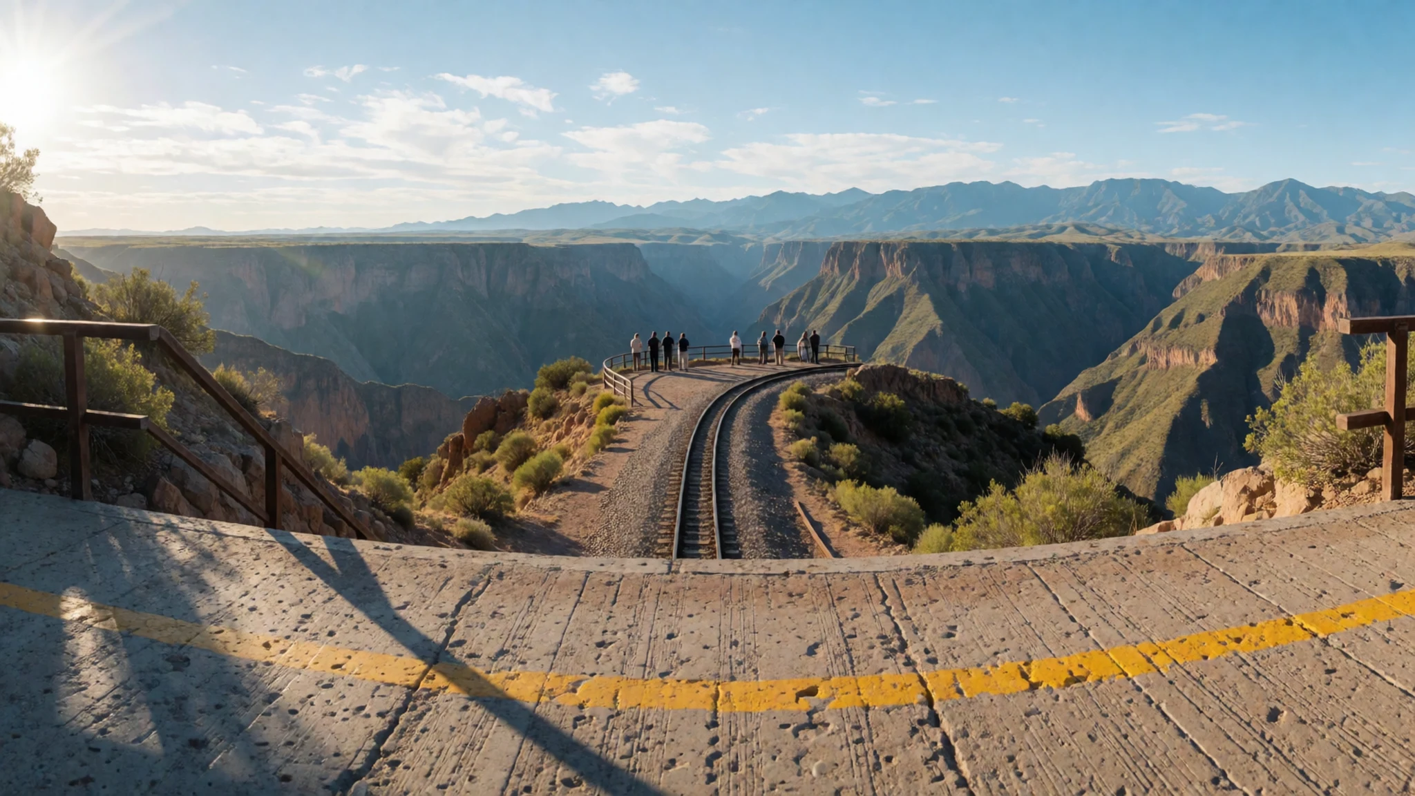
- The road down to Batopilas — Batopilas, deep in the canyon
The road to Batopilas drops steeply into the canyon, and the town at the bottom moves at a notably slow pace. Shops and restaurants keep short hours, so buy food and fuel before you arrive. Expect rough surfaces and tight bends, and hire a driver with local knowledge rather than driving yourself. Check current safety advice before you go.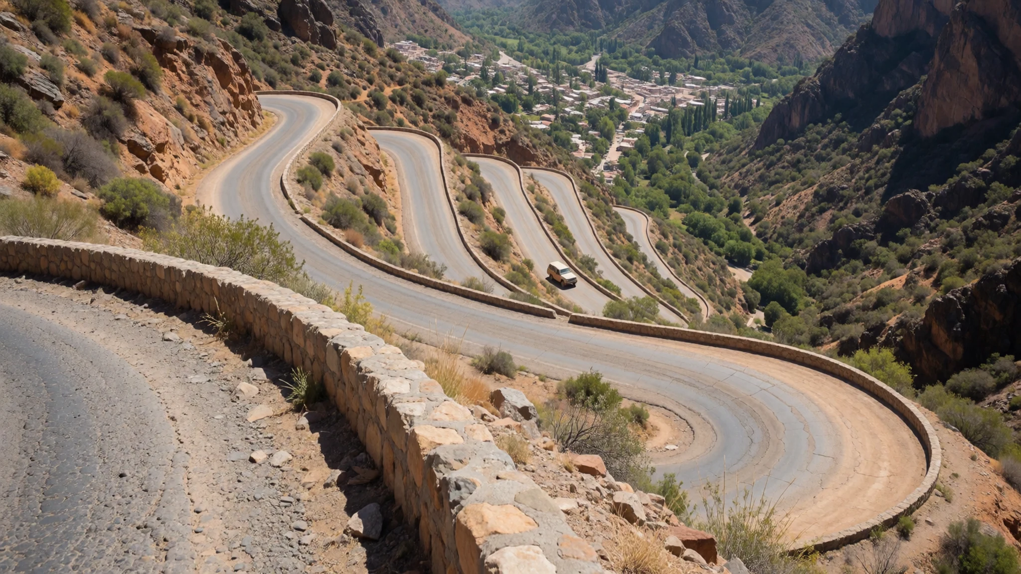
Culture
Copper Canyon is home to the Rarámuri, who have lived in these mountains for a very long time and who value their privacy. Many do not want to be photographed, and some hold religious reasons for this, so the courteous default is to ask first and accept a refusal without argument. The Rarámuri are known for their running, and you may see runners on the trails, so give them room and do not treat them as performers. Along the railway and in the towns, families sell crafts, food and handmade toys, and buying directly from them is welcome. Haggle lightly and with good humour, and remember the money supports a household. Life in the canyon towns runs on slower hours, so expect shops to open late, meals to take time, and little noise after dark. Respect those rhythms rather than rushing them. Ask before photographing anyone, and accept a no gracefully.
What to wear
Copper Canyon is home to the Rarámuri, and their traditional dress is still worn in the mountains and at community gatherings. Women typically wear long, full skirts in layered, brightly coloured cotton, with embroidered blouses and headscarves, while men wear simple cotton shirts and trousers. Huaraches, sandals traditionally made from recycled tyre rubber, are everyday footwear for many people and suit the rocky ground well. The textiles are mainly cotton, with embroidery and ribbon trim, and the look is practical as well as distinctive.
In daily life, people in the towns dress much as Mexicans do anywhere: jeans, t-shirts, sweatshirts and trainers, with a warm jacket for cold mornings on the rim. Traditional dress is usually worn for ceremonies, festivals and some markets, not as a costume for visitors.
For a visit, dress in layers. The rim can be cold at dawn and the canyon floor hot by midday, so a light shirt, a fleece and a sun hat cover both. Choose sturdy footwear with grip for rocky trails, and avoid revealing clothes in villages and churches. Do not buy or wear traditional dress as a costume.
What to eat
- Machaca — breakfast counters and family eateries in Creel
Machaca is dried beef, shredded and fried with onion, chile and often eggs. It is a filling breakfast that suits cold mornings on the rim. Ask for it with flour tortillas, and expect a plain, hearty plate rather than anything elaborate.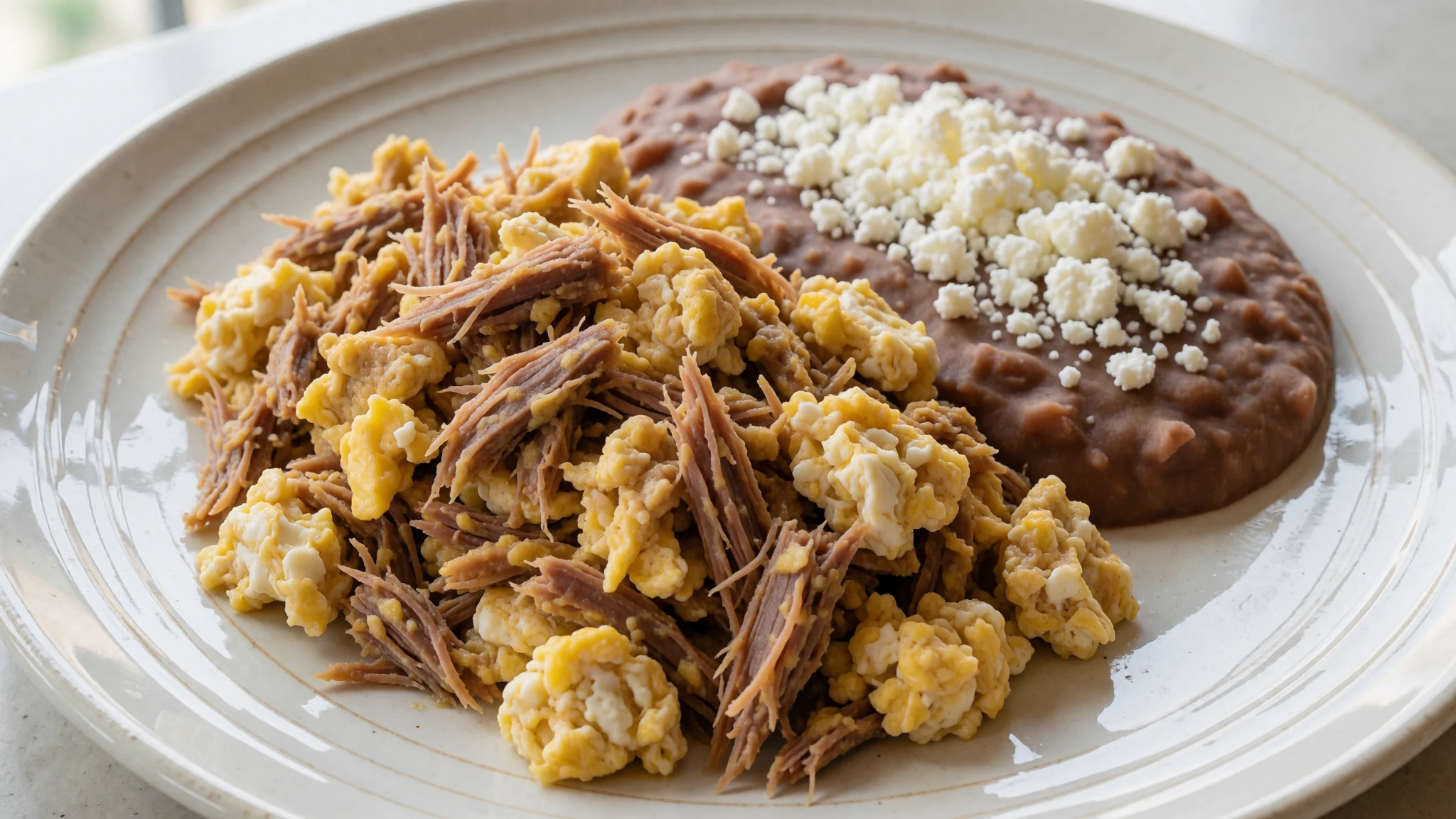
- Flour tortillas — eateries near the railway stations at Creel and El Fuerte
Soft flour tortillas are the everyday bread of the region and come with almost every meal. They are often made fresh and served warm. Eat them with whatever is on the table, from beans to grilled meat, and they will carry most of the meal.
- Carne asada — grill restaurants in Creel and Chihuahua City
Carne asada is thin beef cooked over a hot grill and served with tortillas, salsa and grilled onion. It is a good choice after a long walk. Eateries in the bigger towns tend to offer it at lunch and early evening.
- Chiles rellenos — family-run restaurants in Creel
Chiles rellenos are mild green peppers filled with cheese or meat, dipped in batter and fried. They are a staple of home-style cooking and turn up on many small menus. Order them early in the evening, as the kitchens in small towns close early. - Meals on El Chepe — the railway dining service on the train
Food and drink are served aboard El Chepe, the train from Los Mochis to Creel. It is simple and useful for long stretches with no other stops. Bring some snacks and water as well, in case the service is busy.
Plan it
Best time. March to April and late October to November bring moderate temperatures, which suit both the rim and the walking. The canyon floor stays warm and humid all year. April and May are dry and hot, with the rains building from June and peaking in July and August.
How long. 3–4
Getting there. Fly into Chihuahua City, then take a bus to Creel. Alternatively, ride the Chihuahua al Pacífico railway (El Chepe) from Los Mochis on the Pacific side to Creel, a long and scenic journey. Check the current timetable, as departure days have changed.
Budget. mid
Tips
- Book the train early and aim for a right-hand seat travelling west to east, which gives the best views
- Reserve lodging well in advance, as beds in Creel and the canyon towns fill quickly
- Start hikes early, before the heat builds in the canyon
- Carry cash, since small shops and market stalls may not take cards
- Pack layers, water and sun protection, because the rim can be cold at night
- Hire a local guide for remote canyons and check current safety advice before you travel
Etiquette
- Ask before photographing Rarámuri people
- Stay off ledges and keep to marked paths
- Be patient with slow service and shorter opening hours
- Keep noise down in small villages after dark
Nearby
Sources
- Wikidata Q674485 (CC0)
- Wikipedia: Copper Canyon (CC BY-SA 4.0)
- Wikivoyage: Copper Canyon (CC BY-SA 4.0)
- Piedra bolada, Jesus Alejandro Guerrero, via Wikimedia Commons (CC BY 3.0)
- Barranca del Cobre 2, JensUhlenbrock, via Wikimedia Commons (Public domain)
- Copper Canyon 3, Jwebber, via Wikimedia Commons (Public domain)
- Rio urique kupferschlucht, via Wikimedia Commons (CC BY 3.0)
- Road to Batopilas, Smallchief, via Wikimedia Commons (CC BY-SA 4.0)
- Hotel and RR at Divisadero, Smallchief, via Wikimedia Commons (CC BY-SA 4.0)
- Artesanías en Barrancas del Cobre, Adrian, via Wikimedia Commons (CC BY-SA 4.0)
- Barranca del Cobre 3, JensUhlenbrock, via Wikimedia Commons (Public domain)


