Christmas Island
Christmas Island, Australia
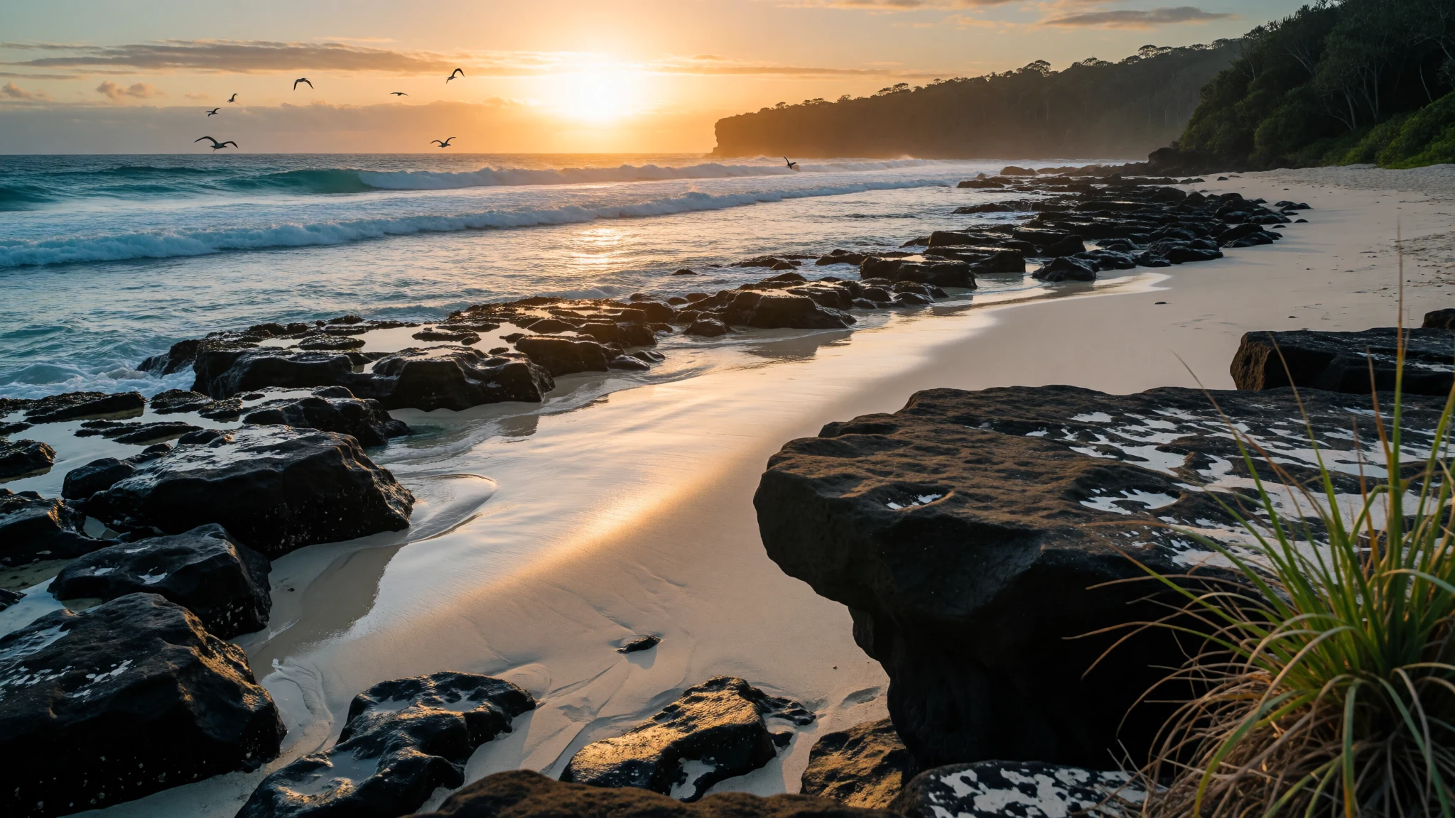
Christmas Island is a remote Indian Ocean rainforest island, where red land crabs, blowholes, quiet beaches and a mixed Asian-Australian community share a small space.
The place
Christmas Island is a speck of rainforest-covered limestone in the Indian Ocean, run as an external territory of Australia. It lies about 350 km south of Java and Sumatra, yet roughly 1,550 km north-west of the nearest point on the Australian mainland. That odd position explains a lot: the island is closer to Indonesia, but its laws, currency and services are Australian.
The whole territory covers about 135 sq km, and the land climbs in terraces from a rocky, cliff-fringed shoreline to a central plateau of about 234 m. Much of it is protected as national park. Because the island has been cut off from other land for so long, and was left largely undisturbed by people until the late 19th century, many of its plants and animals exist nowhere else. That is why naturalists and scientists keep coming.
The population was 1,692 at the 2021 count, and most people live in settlements along the northern edge. Flying Fish Cove, the old landing point, sits at the heart of that strip, and most places to stay are in the Settlement nearby. Beyond it, roads thin out quickly into forest tracks, some of them steep and slippery in the wet season.
This is not a resort island. Facilities are modest, the pace is slow, and the draw is walking, swimming, birdwatching, caves and quiet roads. Visitors who like their holidays organised will find it plain; those who like to poke about in rainforest and along wild shores will find plenty to fill several days.
Its story
Christmas Island entered European records early. A sighting by Richard Rowe aboard the Thomas in 1615 is the first on file, but the name came later: Captain William Mynors of the East India Company ship Royal Mary sailed past on Christmas Day in 1643 and the label stuck. A Dutch map of 1666 showed the island as "Mony" or "Moni", a word whose meaning nobody has pinned down.
The first landing on record came in 1688, when the English navigator William Dampier arrived aboard the Cygnet. His ship had been blown off course while trying to reach the Cocos Islands, and he put ashore on the west coast, at a spot he called the Dales. He found no one living there.
Permanent settlement waited until the late 19th century, when phosphate was discovered. The deposits had built up over ages from seabird droppings, and they were valuable as fertiliser. Britain annexed the island in 1888 and began commercial mining in 1899, bringing in labour from across Asia. That migration is the root of today's mixed community.
In 1942 Japanese forces invaded, again to secure the phosphate. After the occupation ended, administration returned to Singapore, and in 1958 the island was transferred to Australia, where it has remained. Mining shaped the roads, the settlements and much of the landscape, and it still sits alongside a national park that protects most of what is left of the forest.
What to see
- Flying Fish Cove — Northern settlements
Flying Fish Cove is the island's main bay and its social centre, with a small beach, a jetty and the older settlement close by. It is where yachts and cruise ships stop. Mornings are a pleasant time to walk the shore, and snorkelling is possible when the sea is calm.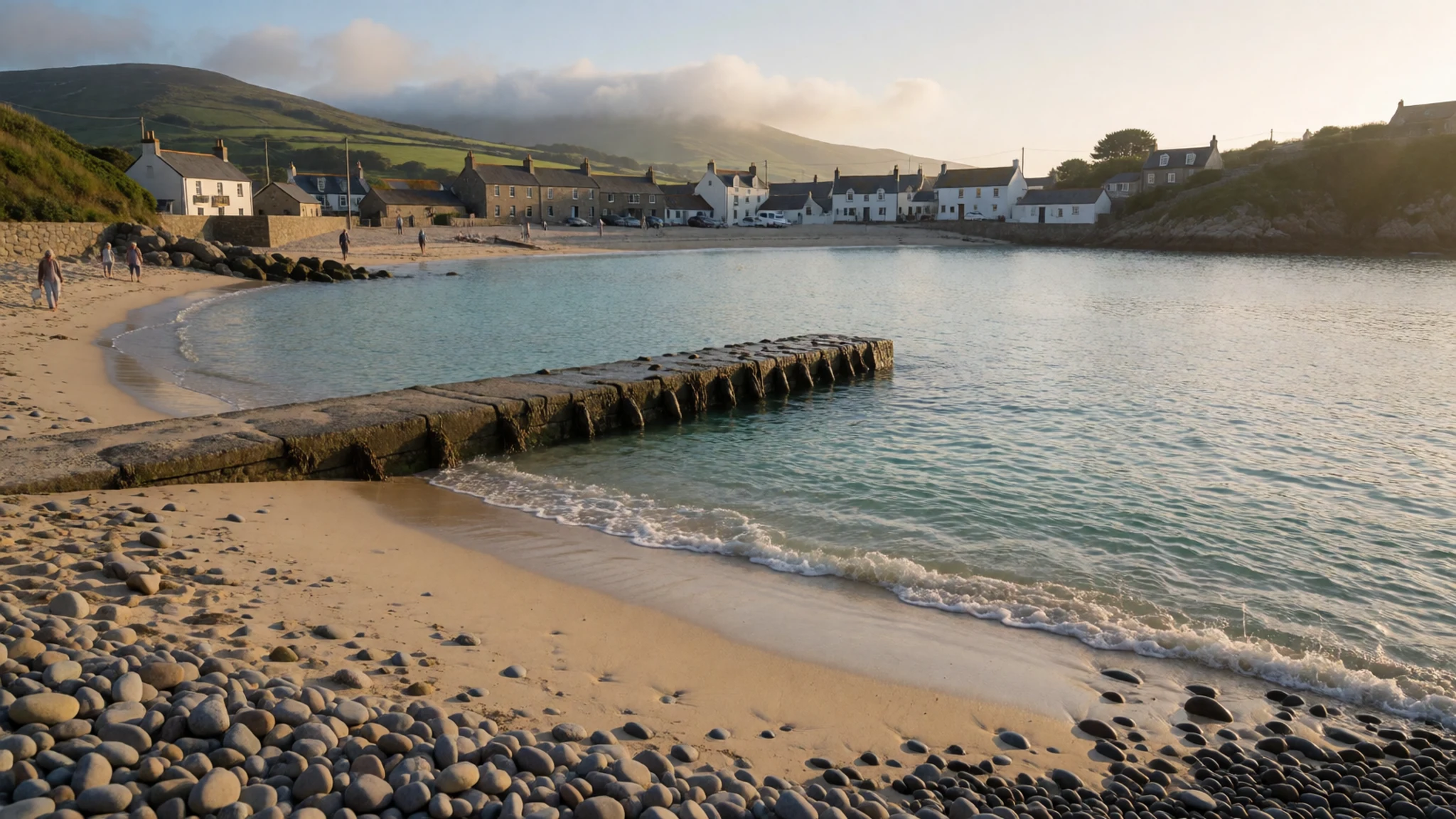
- The Dales — West coast
The Dales, on the west side of Christmas Island, is a set of freshwater streams running roughly side by side through rainforest. They rise from underground caves and tumble towards the sea. It is a shaded, green walk, a welcome change from the exposed coast, and the setting where Dampier landed in 1688.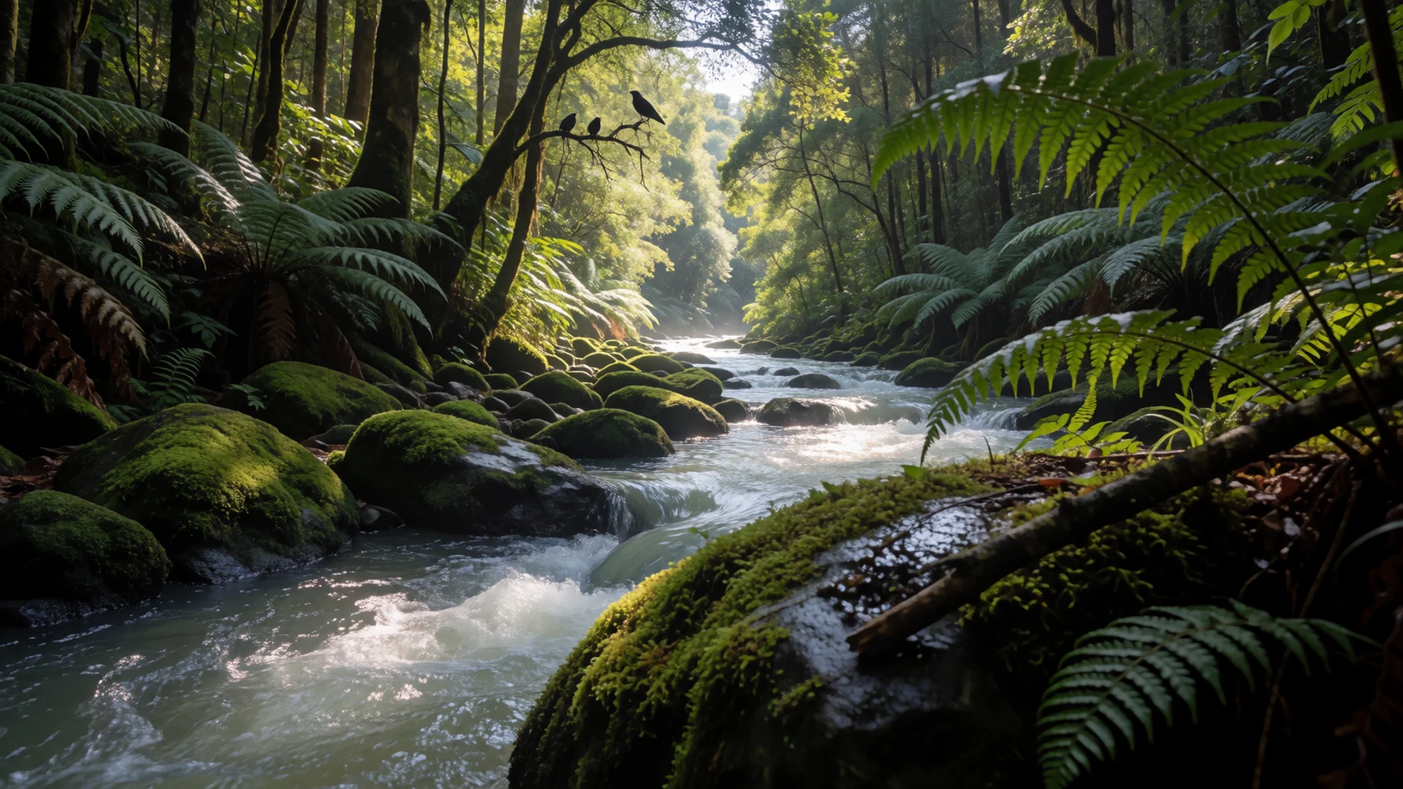
- The Blowholes — South coast
Along the steep limestone cliffs of the southern coast, the Blowholes are openings in the rock where waves surge into sea caves and force air and spray upwards. They are loudest in rough seas. Keep well back from the edge, as waves and slippery rock are the real hazards here.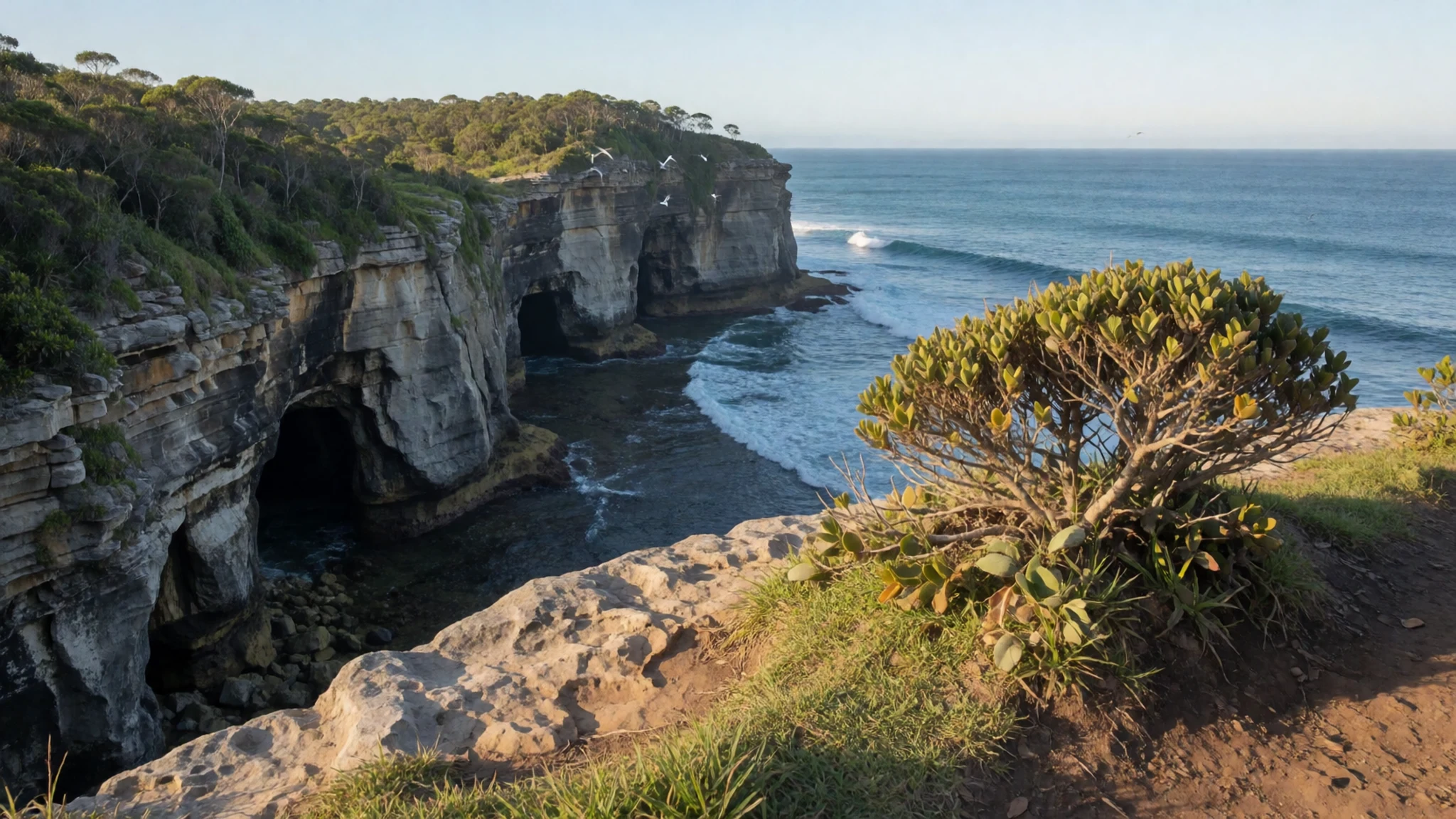
- Margaret Knoll — Eastern side
Margaret Knoll is an easy lookout reached on a short walk from where the vehicle is left. It gives wide views over the eastern side of the island, and seabirds and forest birds often wheel overhead. It suits a first morning, or anyone who wants a view without a long hike.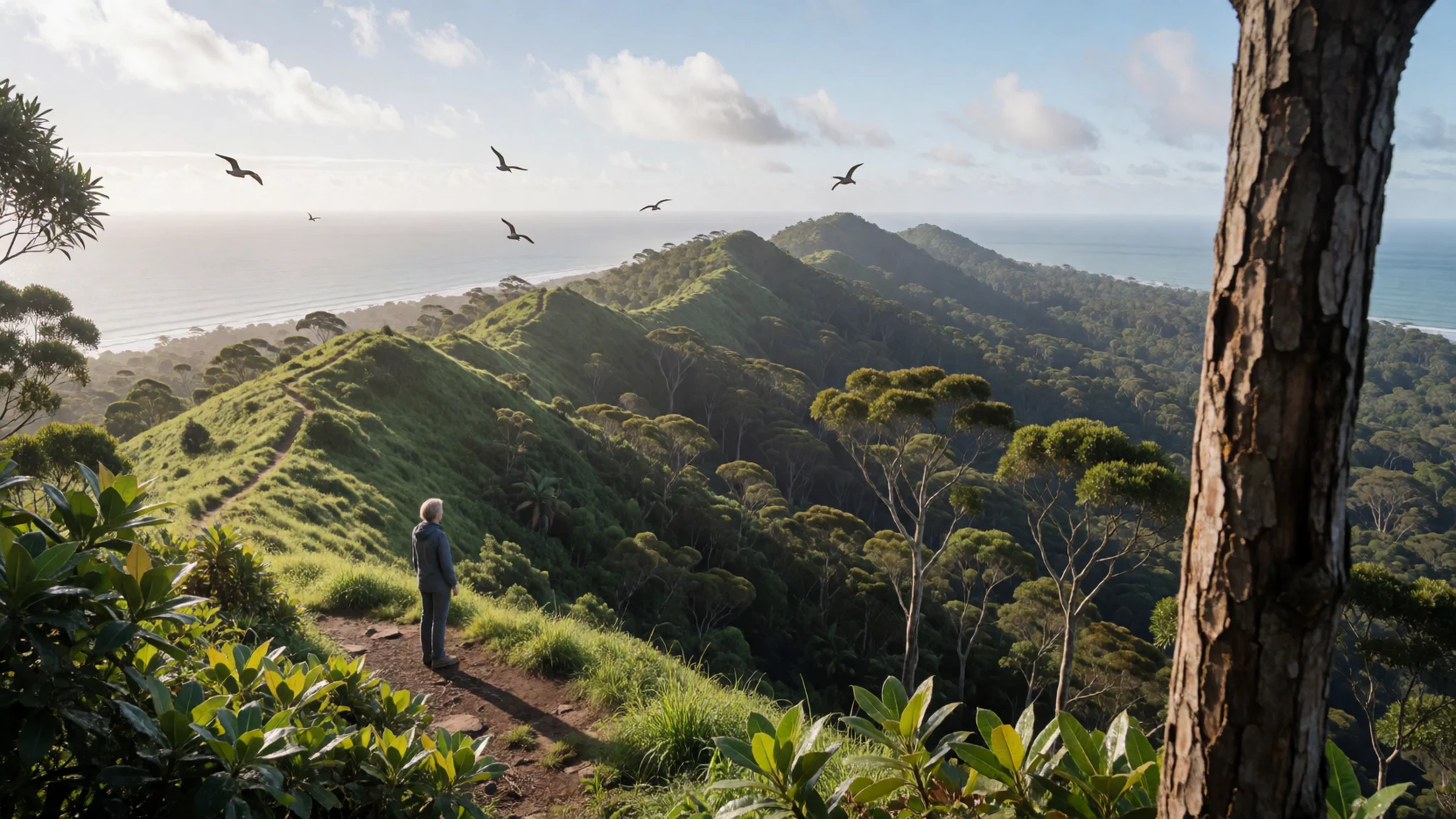
- Ma Chor Nui Nui Temple — Eastern side
Ma Chor Nui Nui Temple is a Taoist temple built by the island's ethnic Chinese community, a reminder of the labourers who came to work the phosphate. Visit quietly, treat it as a place of worship rather than a backdrop, and ask locally about the best time to call.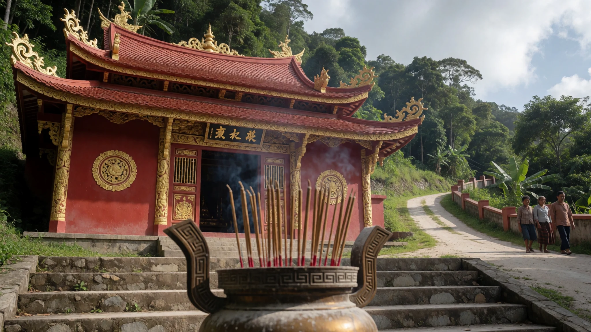
- Dolly Beach — South-east coast
Dolly Beach is a remote white-sand cove ringed by dark basalt outcrops. Reaching it takes a drive in a high-clearance vehicle over rocky, stepped tracks, then a steep walk down on foot. Go prepared with water and good shoes, and treat the effort as part of the point.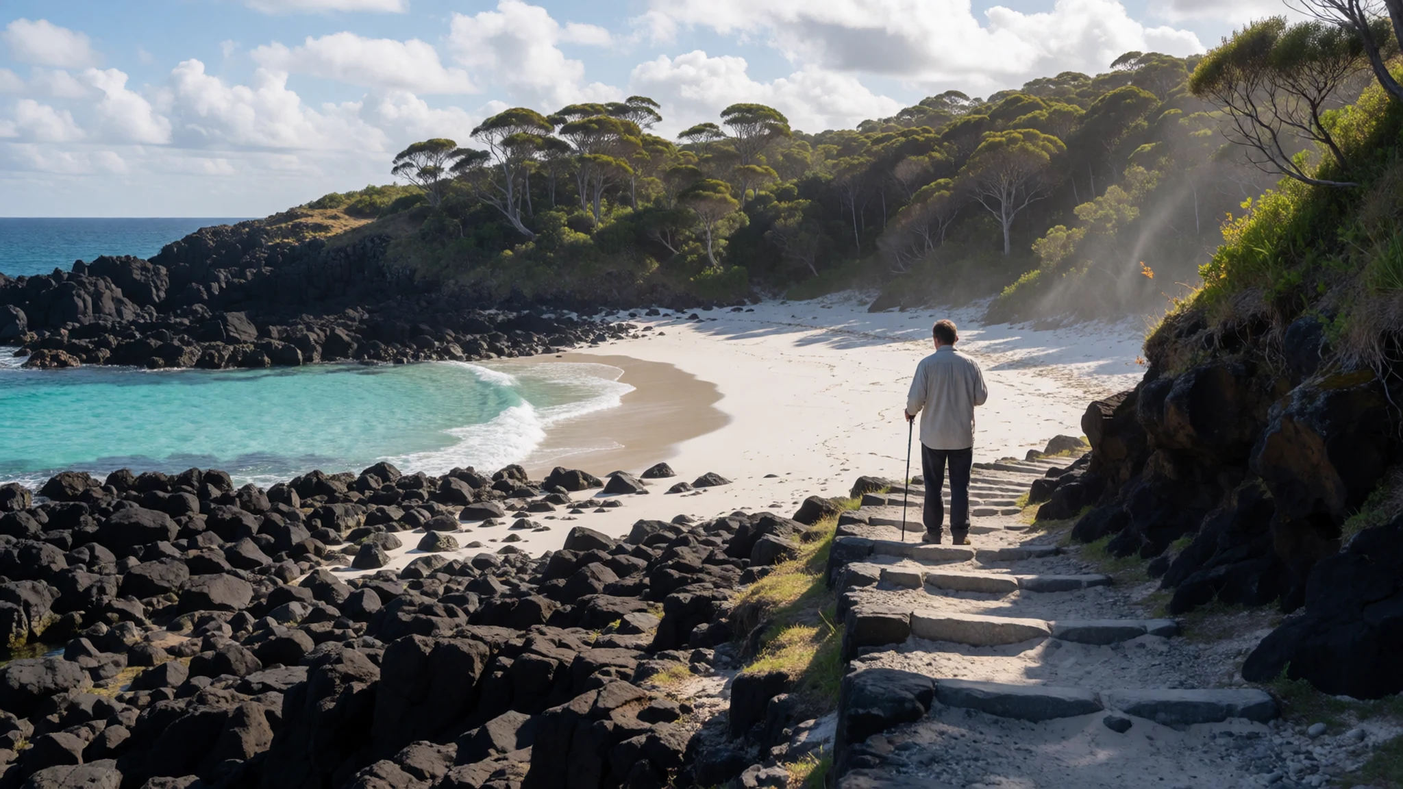
Culture
Christmas Island's culture is the product of its working history. People came from several parts of Asia to mine phosphate, and later Australians arrived to administer the island, so Chinese, Malay and European traditions all sit side by side. Festivals, temples, mosques and community halls reflect that blend, and everyday life is small-scale and friendly, in a place where neighbours usually know each other.
The cooking is just as mixed, an easy combination of Australian habits and Asian flavours. The Christmas Island Women's Association, founded in 1989, is one of the long-standing community bodies and belongs to a wider international network of country women's groups.
Nature is the shared passion. The island is known for its biological diversity, and walking in the forest is the most popular pastime for residents and visitors alike. The limestone has also produced a surprising range of caves, from plateau caves to sea caves, fissures, collapse caves and basalt caves, most close to the shoreline and shaped by water.
Because the community is so small, visitors are noticed, and good manners count for a lot. Locals generally feel safe enough to leave houses and cars unlocked, which is a habit worth respecting. Stay on marked tracks in the national park, give wildlife, especially crabs crossing roads, plenty of room, and ask before photographing people or entering a temple.
What to wear
Christmas Island has no single island costume. Traditional dress here belongs to the communities who settled it, and it appears mainly at festivals and family occasions. Members of the Chinese community may wear silk or brocade for celebrations such as Lunar New Year, while Malay residents may wear baju kurung or batik sarongs, in cotton or silk, at religious and family events. These are occasion clothes, not daily wear.
Everyday dress is practical and relaxed. In a hot, humid tropical climate, people wear light cotton shirts, shorts, sundresses, rubber sandals and sun hats. Work clothes tend to be sturdy, and rain jackets and quick-drying fabrics are common in the wet season. Dress rarely goes beyond smart-casual, even in the restaurants and taverns.
Visitors should pack for heat, rain and rough ground. Breathable cotton or synthetic layers, a light waterproof, a hat and strong sun protection will serve best. Closed shoes with good grip matter for forest tracks, limestone and the steep walk down to remote beaches, while sandals or reef shoes suit the shoreline. Take a swimsuit, but cover up away from the beach.
For a temple or mosque, bring something that covers shoulders and knees, and be ready to remove shoes. Modest dress is the safe default whenever you are visiting somewhere that people use to worship.
What to eat
- Noodles and fried rice — Local restaurants in the Settlement area
Chinese-style stir-fried noodles and rice are staples of the island's everyday eating. Look for them at the small local restaurants and eateries in the Settlement area, where portions are generous and the cooking reflects the island's Chinese community.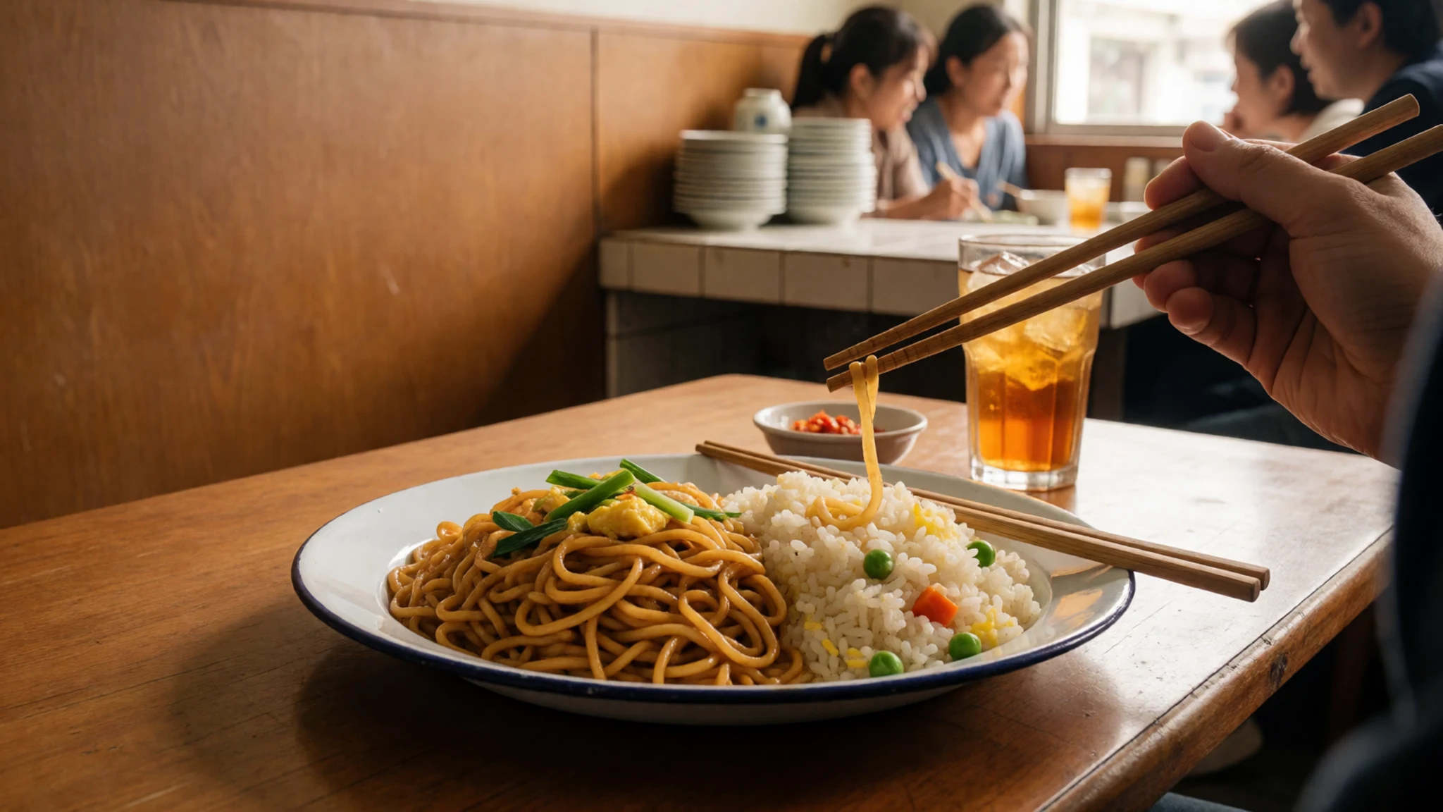
- Malay-style curries and sambal — Community eateries and festival occasions
Malay home cooking appears as spiced curries, rice and chilli sambal. These dishes are often served at community occasions and festival times, so ask residents or your host about local gatherings and eateries that cook them.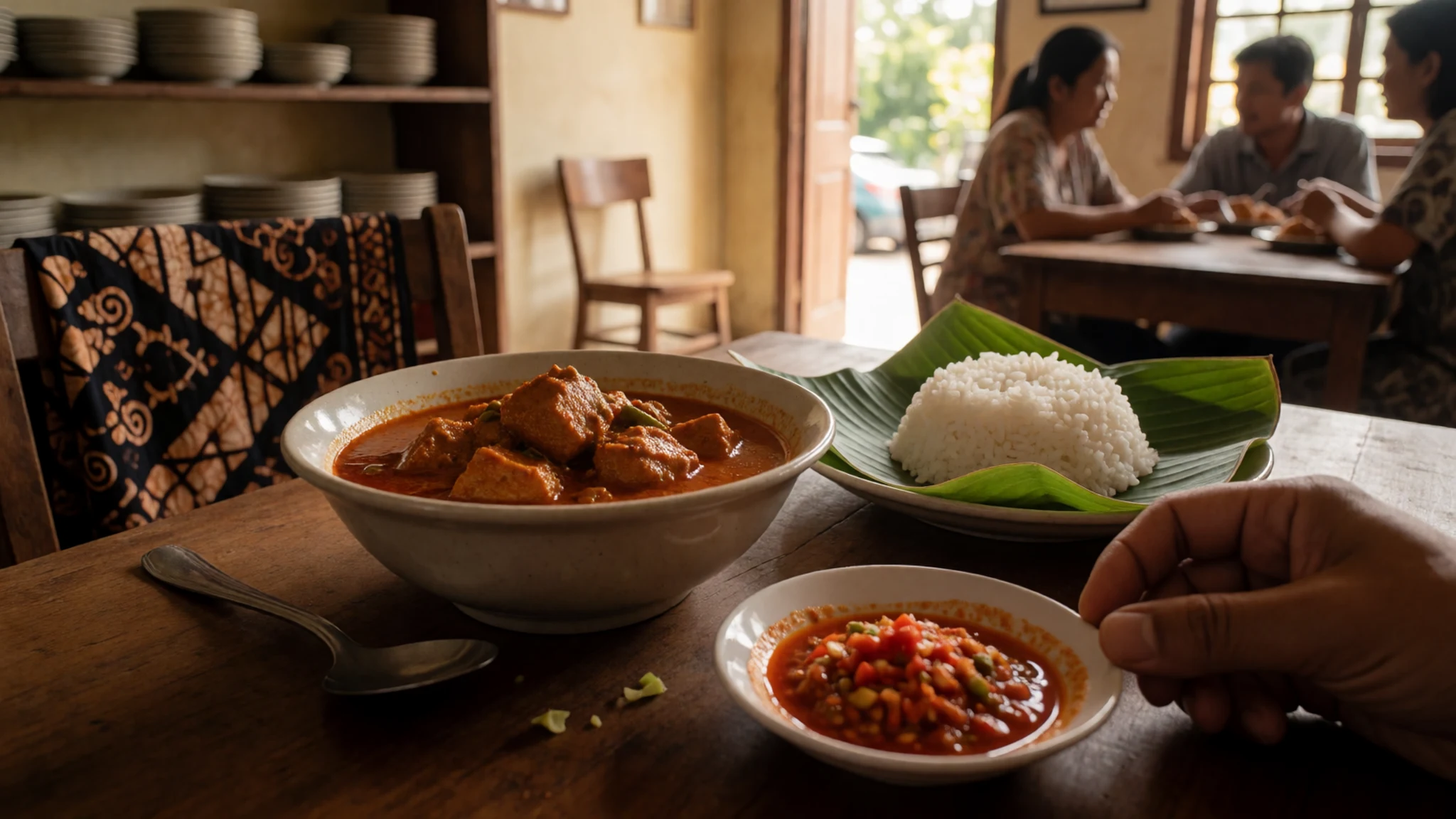
- Fresh bread and baked goods — Local bakeries around the Settlement
Bread is baked locally and sold fresh each day, and bakeries are a good place to buy breakfast or a picnic before heading into the national park. Buy early, since supplies on a small island can run low by midday. - Modern Australian plates — Taverns and restaurants with ocean views
Several restaurants and taverns serve Western dishes with an Australian bent, such as grilled meat or fish, salads, burgers and desserts. One tavern has a verandah looking out over the Indian Ocean, which is a pleasant spot at sunset. - Coffee, milkshakes and cool drinks — Cafés around Flying Fish Cove and the Settlement
Cafés mix Western and Asian snacks with coffee, milkshakes and cold drinks. They are the easiest places to cool off after a morning of walking, and a useful place to ask other travellers and locals about track conditions.
Plan it
Best time. May to September is the better window, with calmer seas and easier driving. The monsoon runs from October to February, bringing large waves on cliffs and coastal waters, and slippery four-wheel-drive tracks in the wet season.
How long. 3–5
Getting there. Fly in from the Australian mainland; as it is an Australian territory, carry photo ID such as a driving licence or proof of age, and check entry requirements before you go. There are no scheduled passenger boat services, though yachts and cruise ships do call at Flying Fish Cove. Most places to stay are in the Settlement, close to the cove.
Budget. mid
Tips
- Book flights and accommodation well ahead, since the island is small and choices are limited
- Hire a vehicle suited to rough tracks if you plan to reach remote beaches such as Dolly Beach
- Carry drinking water, sun protection and sturdy shoes on every walk
- Keep well back from cliff edges and the Blowholes, especially in the monsoon months
- Ask locally, or check the official site at https://www.shire.gov.cx/, for current road and park conditions
Etiquette
- Stay on marked tracks and give wildlife, including crabs on the road, plenty of space
- Dress modestly and remove shoes when visiting a temple or other place of worship
- Ask before photographing residents
Nearby
Sources
- Wikidata Q31063 (CC0)
- Wikipedia: Christmas Island (rev 1383117952) (CC BY-SA 4.0)
- Wikivoyage: Christmas Island (rev 5349854) (CC BY-SA 4.0)
- Photo: Crab migration (ChrisBrayPhotography) (CC BY-SA 4.0)
- Photo: Flying Fish Cove at Christmas Island (David Stanley) (CC BY 2.5)
- Photo: Christmas Island Immigration Detention Centre (DIAC images) (CC BY 2.5)
- Photo: Map of Christmas Island 1976 (Public domain)
- Photo: Flying Fish Cove (DIAC images) (CC BY 2.5)
- Photo: Christmas Island Population Pyramid 2011 (Leo Li) (CC BY-SA 4.0)
- Photo: Island temple (DIAC images) (CC BY 2.5)
- Photo: The backroads of Christmas Island (DIAC images) (CC BY 2.5)


