Chocolate Hills
Chocolate Hills, Philippines
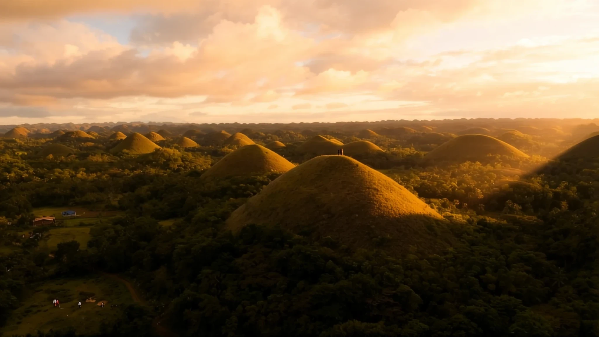
Go for the rows of rounded, grass-covered hills that turn brown in the dry season, and stay for the views from the viewing decks.
The place
Chocolate Hills sits in the interior of Bohol, a province of islands in the central Philippines, and it is the sight most visitors plan their trip around. The hills are rounded, almost symmetrical mounds of grass-covered limestone, scattered across more than 50 square kilometres of countryside. Their colour is the whole point. Through the wetter months they stay green, but when the dry season arrives the grass browns, and the domes look like rows of chocolate kisses left out on a tray.
There is no single hill to climb, because the formation is a crowd of them. Estimates of the count run from well over a thousand upwards, and their heights vary a great deal. Most stand between 30 and 50 metres, while the tallest reaches about 120 metres. Between them the lower ground is planted with rice and other crops, so from a high point the view is a patchwork of green fields and brown domes.
The hills are part of how the province presents itself. Their shape appears on Bohol's provincial flag and seal, standing for the island's wider mix of natural attractions. The main viewing point is a government-run complex in Carmen, roughly 55 kilometres from Tagbilaran, the provincial capital. A second lookout, Sagbayan Peak, sits about 18 kilometres away, in the town of Sagbayan.
Its story
The Chocolate Hills began as sediment on a sea floor. Over a long span of geological time, during the late Pliocene and early Pleistocene, shallow marine water laid down layers of limestone rich in the remains of small sea creatures: foraminifera, corals, molluscs and algae. Those thin-to-medium beds are sandy and rubbly in places. When they were lifted above the waves and worn down by rain, the rock dissolved along cracks and joints again and again. What remained were the rounded, cone-like hills that stand today, a classic example of karst country.
Fossils are the most telling evidence. Climb the lower slopes of a mound and the stone itself records a warm, shallow sea, not the dry land the hills now support. Scientists have used these fossils to read the island's past, and the hills have become a reference point for anyone studying how Bohol's landscape took its present shape.
The landscape has had a rougher recent history. Quarrying for building stone has eaten into several hills, and the grass cover that gives the place its name is under pressure from clearing. Proposals to protect the formation and to give it wider recognition have followed, and the outcome of those efforts will shape how the mounds look to future generations of visitors.
What to see
- Chocolate Hills Complex — Carmen, central Bohol
The government-run complex in Carmen is the main viewing point, and its deck gives the broadest sweep across the mounds. Arrive early, before the midday heat builds and tour coaches fill the car park. Short paths lead down towards the hills, which give a closer look at how the cones rise out of the rice fields. Check the official site for current arrangements before going.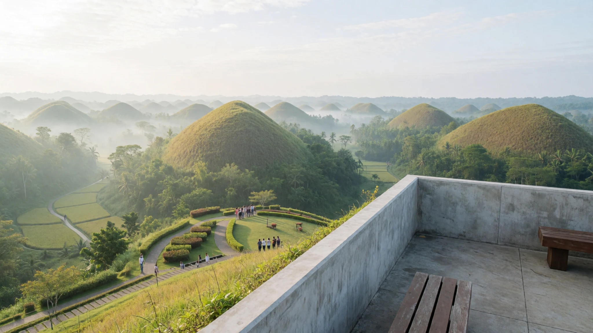
- Sagbayan Peak — Sagbayan, about 18 km from Carmen
This lookout is the second main vantage point, about 18 kilometres from the complex. Its angle gives a different picture of the hills, with more of the rolling spread visible at once. Expect a short walk or steps to the top and bring water. It is a good choice if the main complex is crowded.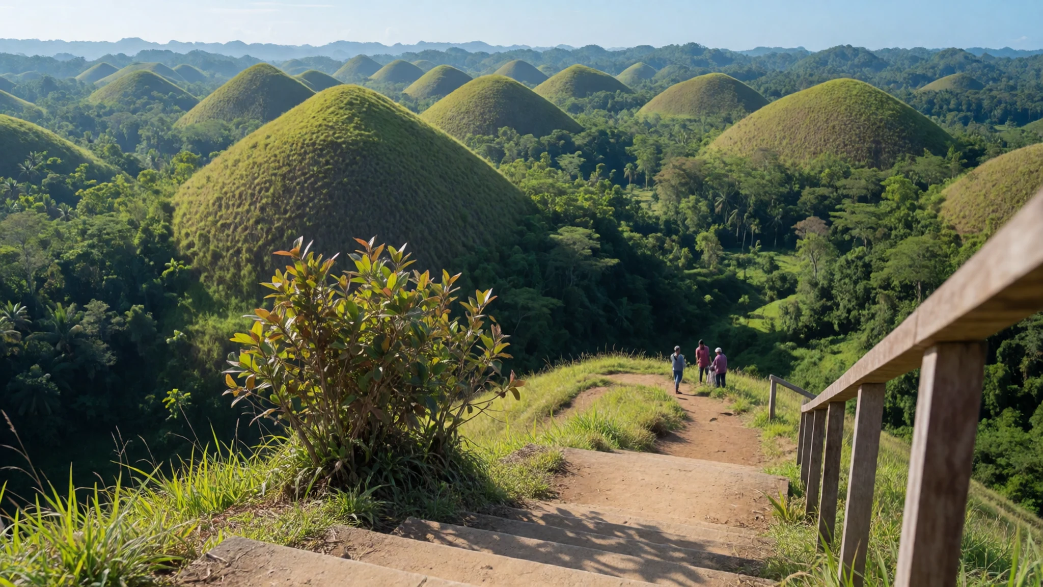
- Danao Adventure Park — Danao, Bohol
This adventure park offers a mix of eco and educational activities for different ages. Options include a sky-ride, a zip-line, river tubing, caving and trekking. It makes a good half-day or full-day break from sightseeing, especially for families. Book ahead for activities that have set times, and confirm current details with the operator.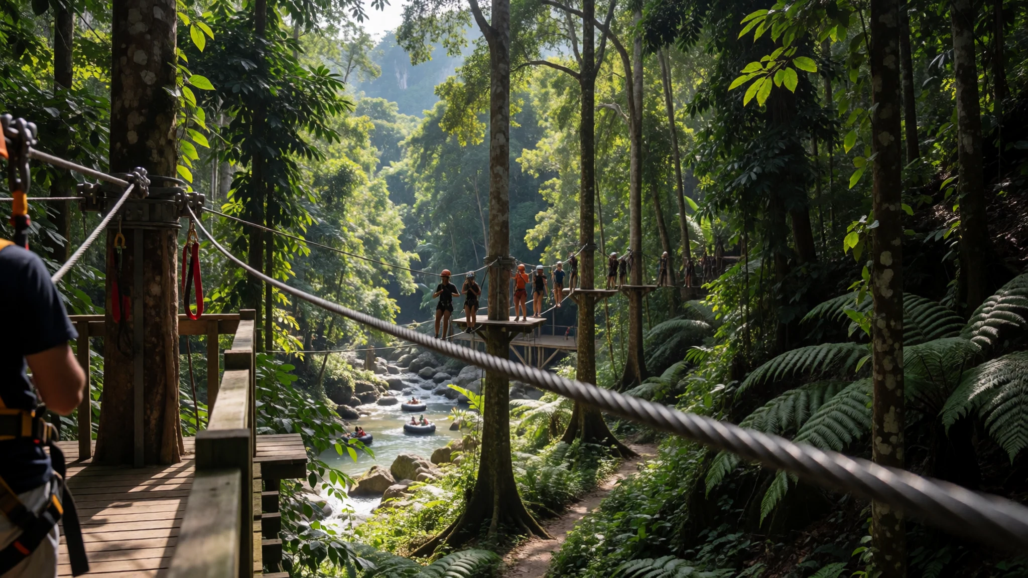
- Philippine Tarsier Sanctuary — Corella, Bohol
The sanctuary keeps Philippine tarsiers in a large, fenced area where they roam freely and can be seen in something close to their natural habitat. Tarsiers are nocturnal and sleep through the day, so daytime visits show them resting. The foundation runs a visitor centre and research work here, and the sanctuary is a serious conservation project. Keep voices low and follow the staff guidance.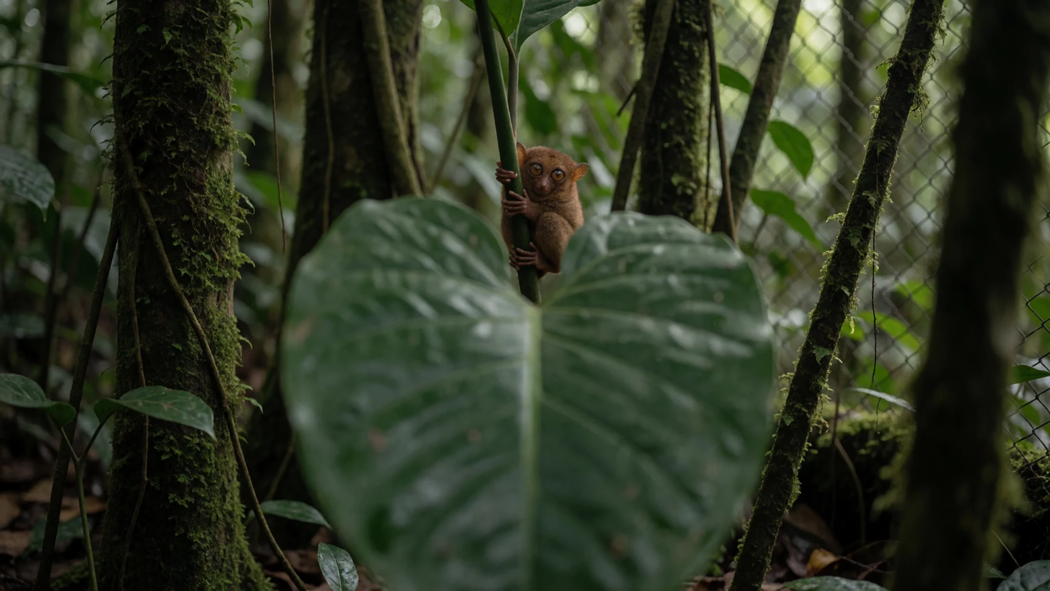
- Tagbilaran City — Tagbilaran, the provincial capital
Tagbilaran is the provincial capital and the main ferry port, with the widest range of accommodation on the island. It is the usual base for getting to the hills, and the bus and jeepney links fan out from here. The city works well for a night or two before or after the hills, with eateries and bakeries close to the waterfront.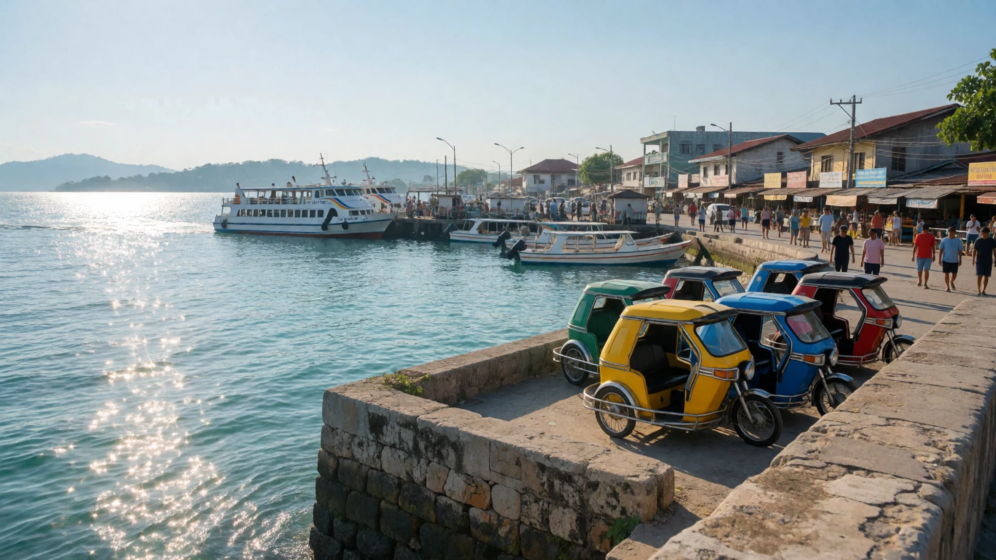
Culture
Chocolate Hills is a working landscape rather than a shrine, so the manners that matter here concern people and land. Rice farmers work the flat ground between the mounds, and those fields are not a backdrop to be crossed. Small stalls near the lookouts sell snacks and drinks, and the people running them are used to visitors. Filipino hospitality tends to be warm and informal, so a smile and a greeting in English or Cebuano go a long way.
Conservation shapes daily life here too. Around the hills and at the tarsier sanctuary, staff ask visitors to keep their voices low and to avoid flash near the animals, which are nocturnal and easily stressed. Bring a bag for rubbish and take it back with you, since bins are not always close at hand. Keep to the marked paths on the grass, because the slopes are soft and erode quickly.
Photographing the hills from the viewing decks is fine. Ask before photographing people working in the fields or families at the stalls.
What to wear
Chocolate Hills is a rural landscape, so the dress code is practical rather than formal. Traditional Filipino formal wear from the Visayas centres on the terno, a fitted gown with broad, puffed sleeves, and the barong Tagalog, an embroidered, untucked shirt for men. Both are often made from piña, a fine cloth woven from pineapple leaf fibre, or from jusi, a lighter fabric blending fibres. These garments are worn for weddings, formal church events and celebrations rather than for walking the hills.
Day to day, people around the Chocolate Hills wear t-shirts, jeans, shorts, dresses and flip-flops, and in towns many men and women dress smartly for church on Sundays. Shoulders and knees are usually covered at churches, and a light scarf or shirt makes that easy.
For a visit, choose light, breathable clothing in cotton or linen, since the heat and humidity build quickly. Bring a hat and sunglasses, and wear sun-safe layers for the open viewing decks. Closed shoes with good grip are the sensible choice for grassy slopes, which can be slippery and uneven. Long trousers help against grass and insects on the walks.
What to eat
- Kalamay — public markets and roadside stalls in Tagbilaran and the towns near the hills
A sticky sweet made from glutinous rice, coconut milk and sugar, cooked slowly until it turns dense and glossy. It is a traditional treat across the Visayas and is often wrapped in banana leaf. Look for it at public markets and by the roadside in Tagbilaran and the towns near the hills.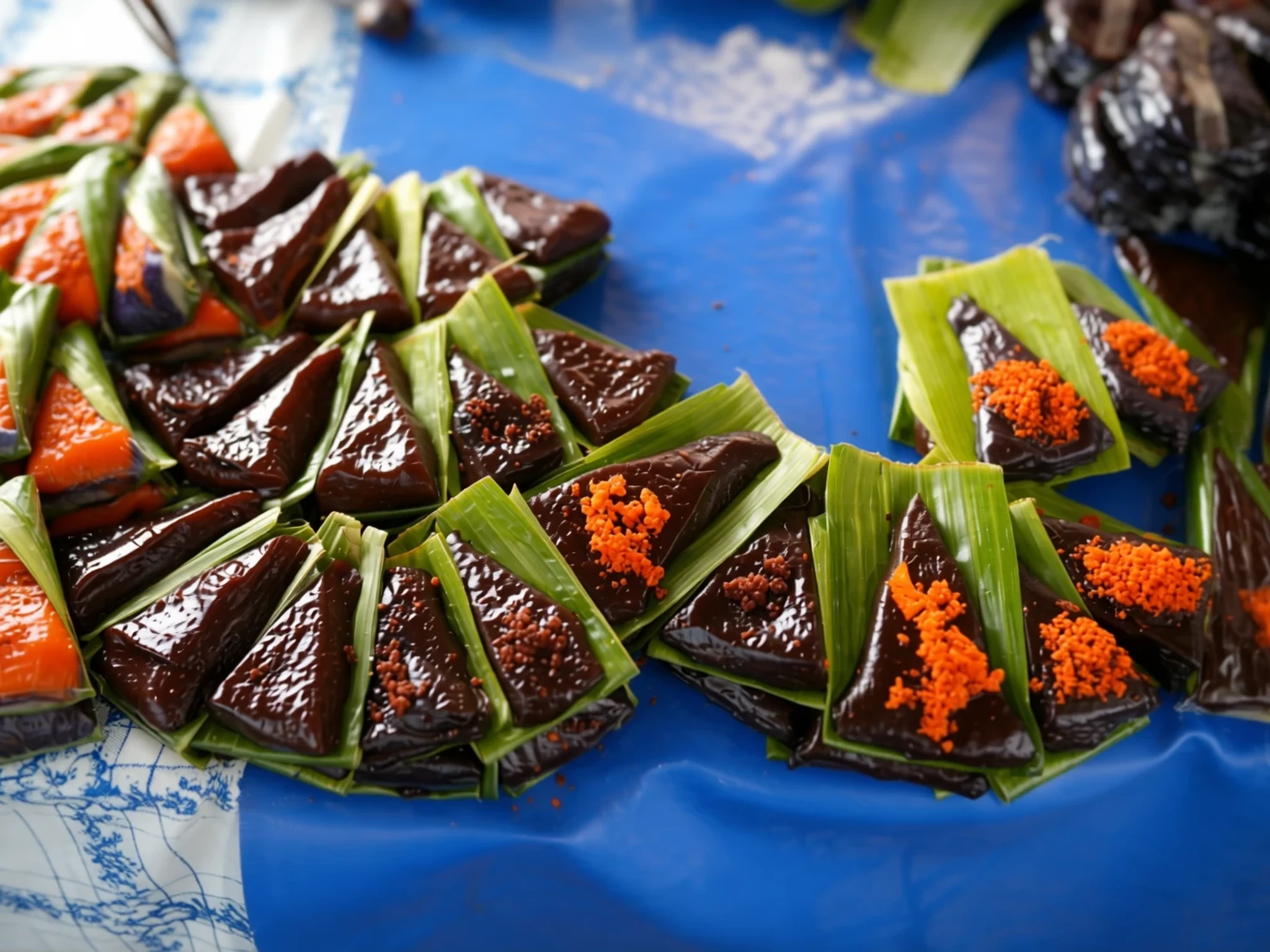
- Peanut Kisses — bakeries and pasalubong shops in Tagbilaran
Bite-sized cookies made from peanuts and sugar, sold widely as a take-home gift. They keep well, which makes them popular for the journey back. Bakeries and souvenir shops in the capital stock several brands.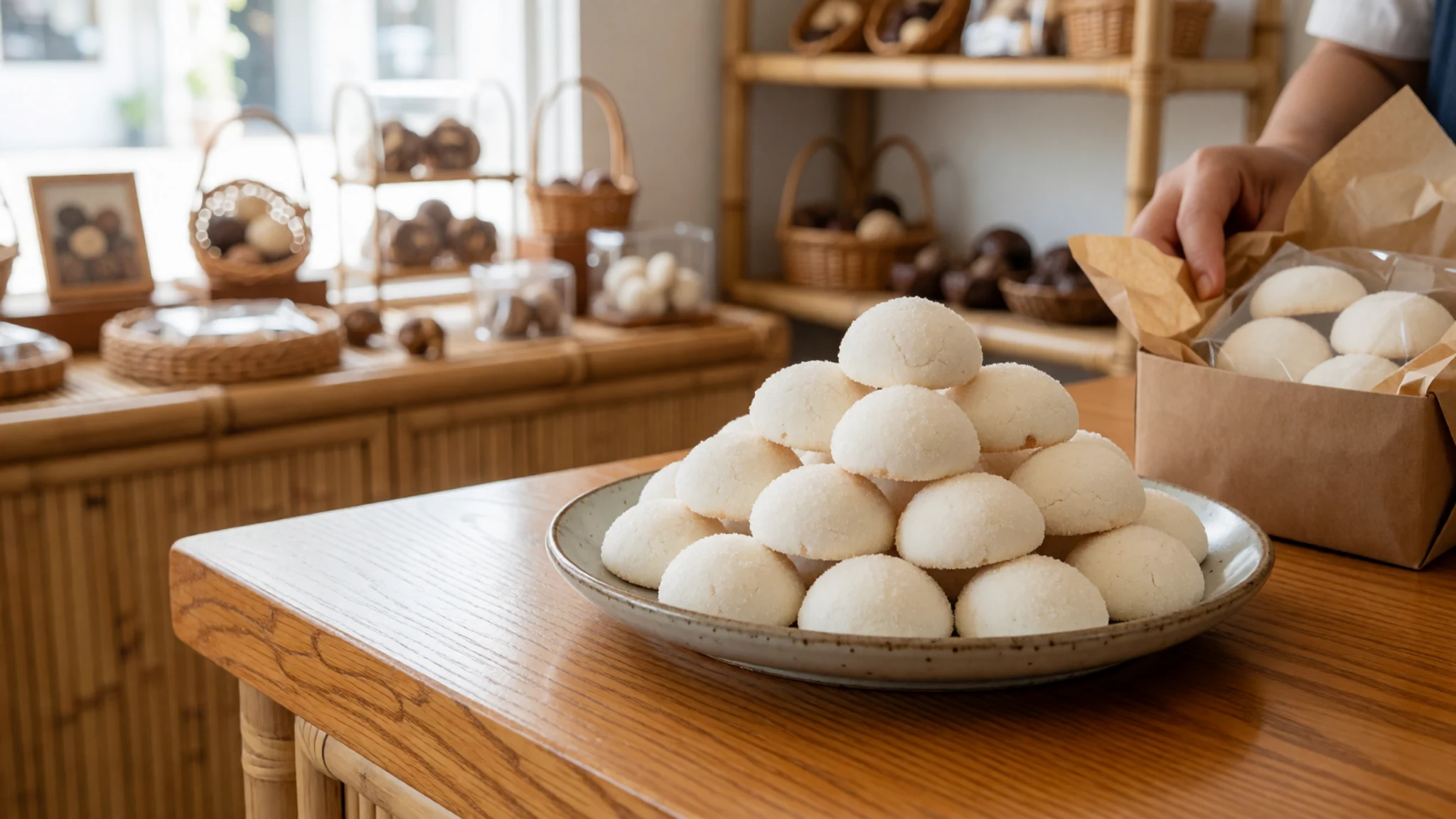
- Grilled seafood — beachfront grills on Panglao and eateries along the Tagbilaran waterfront
Fish, squid and prawns are grilled over charcoal and served with rice and a tangy dipping sauce. Eat it fresh and hot, with a cold drink on the side. Beachfront grills on Panglao and simple eateries along the Tagbilaran waterfront are good places to try it. - Sans rival — bakeries in Tagbilaran
A layered dessert of meringue and buttercream, often with crushed cashews, and a Filipino favourite at celebrations. It is rich, so one slice goes a long way. Bakeries in the capital sell it by the slice and as whole cakes.
Plan it
Best time. February to May, when the dry season browns the grass and the skies are usually clearer, gives the signature look of the hills. The wetter season runs from June to January, with the heaviest rain in October and December, bringing greener hills, more cloud and patchy views.
How long. 2–3
Getting there. Fly into Panglao Island International Airport, which connects to Manila, Cebu and other cities. From the arrival hall take a bus or jeepney to Tagbilaran Central Terminal, or hire a private driver for the drive to Carmen, about 55 kilometres. Most visitors reach Bohol by fast ferry from Cebu City, a trip of about one and a half hours.
Budget. mid
Tips
- Hire a driver for the day rather than piecing together buses
- Start at the viewing deck before 8 am, before the heat and the coaches
- Carry cash for small stalls, the sanctuary and local transport
- Bring water, a hat and sun protection, since there is little shade on the slopes
- Check the official site before visiting the sanctuary and the adventure park, as arrangements can change
Etiquette
- Keep to the marked paths and off the rice fields
- Do not touch or feed the tarsiers, and keep flash off
- Ask before photographing people at work or at stalls
Nearby
Sources
- Wikidata Q977422 (CC0)
- Wikipedia: Chocolate Hills (rev 1372820493) (CC BY-SA 4.0)
- Wikivoyage: Bohol (rev 5294313) (CC BY-SA 4.0)
- Photo 01 chocolate-hills-overview (CC BY 3.0)
- Photo 02 chocolate-hills-bohol (CC BY 3.0)
- Photo 03 bohol-bohol1917 (CC0)
- Photo 04 bohol-hills-3-carmen (CC BY 4.0)
- Photo 05 chocolate-hills-historical-marker (CC BY-SA 4.0)
- Photo 06 philippine-island-bohol-nara (Public domain)
- Photo 07 chocolate-hills-and-tourists (CC BY 2.5)
- Photo 08 chocolate-hills-from-sagbayan-peak (CC BY-SA 4.0)


