Chiloé Island
Chiloé Island, Chile
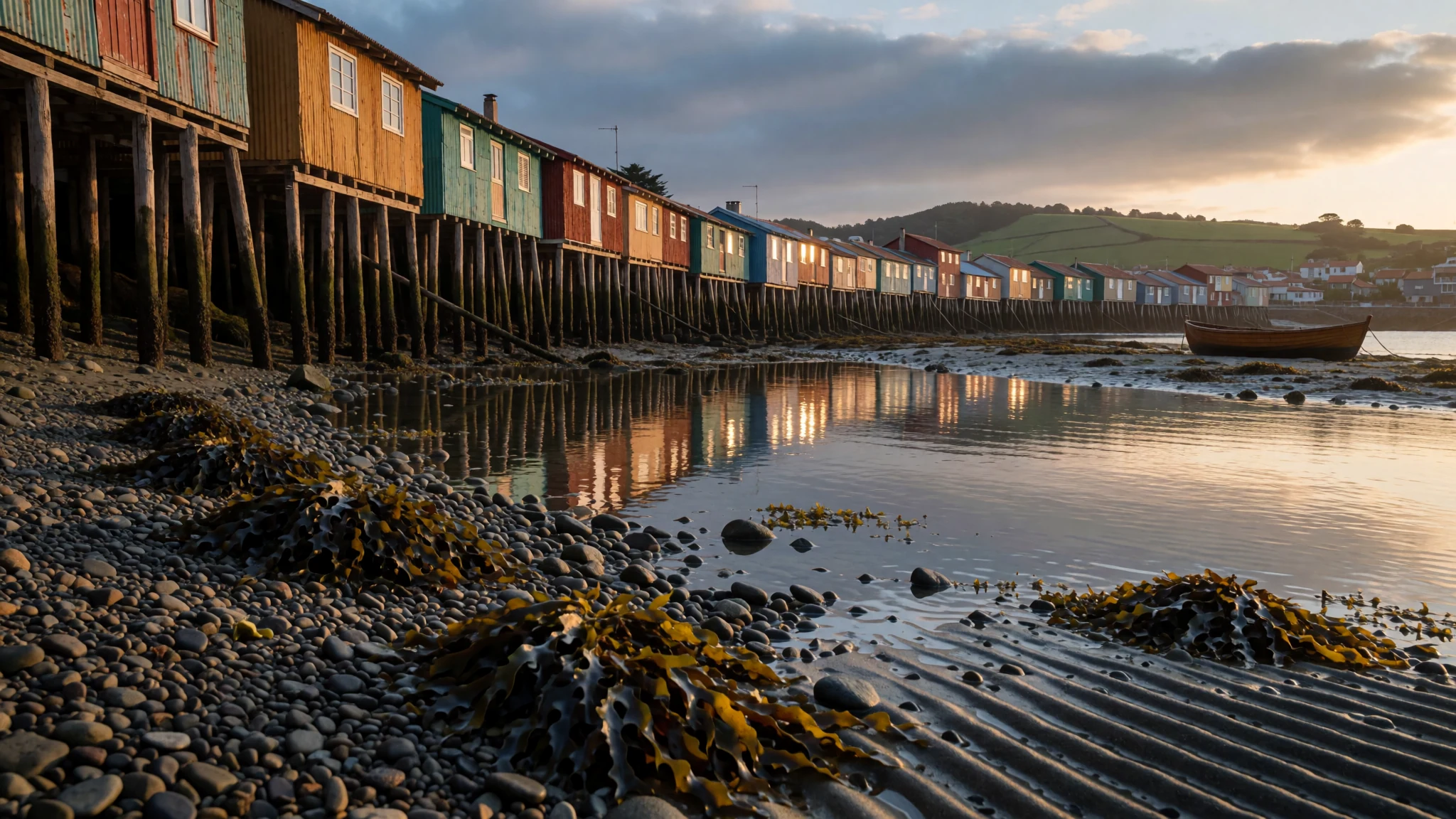
Chiloé rewards slow travel with wooden churches, shellfish, wild western forest and a seafaring culture unlike mainland Chile.
The place
Chiloé Island is the largest island in the Chiloé Archipelago, lying off Chile's Pacific coast in the Los Lagos Region. About 150,000 people live on it, and its highest ground reaches roughly 491 metres. The island is close to rectangular, but its two halves feel very different. The southwest is a wilderness of forest and swamp, part of the Valdivian temperate rainforest, where rain falls for much of the year. A line of mountains crosses the island diagonally, and the northeast is gentler country of rolling hills, pasture, woodland and cultivated fields. The western shore is rocky and fairly straight. The eastern and northern shores are cut into bays, inlets and peninsulas, and that is where nearly every town sits.
It is the second largest island in Chile after Tierra del Fuego, and the largest that lies wholly within Chilean territory. Its land is a continuation of the Coast Range, and the climate is cool, damp and oceanic. The eastern side, sheltered by the interior hills, is noticeably drier and warmer, so many travellers base themselves around Castro and the east coast. Chiloé National Park protects much of the western shore, while Tantauco Park, a private reserve in the south, covers another large stretch of the island. Expect ferries, long bus rides and roads that take their time, because the island rewards a few slow days rather than a rushed circuit.
Its story
Chiloé was settled by people more than 7,000 years ago. Shell middens along the coast, heaps of mussel and clam shells mixed with stone tools and old hearth ash, show that mobile groups gathered shellfish and fished the shallows and channels. When Spanish conquistadores reached the island in the sixteenth century, it was home to the Chono, Huilliche and Cunco peoples. Their boats, called dalcas, were built to handle the tide-rips of the archipelago, and the Spaniards admired how skilfully they were handled.
European contact came by sea. Alonso de Camargo was the first Spaniard to sight the coast, in 1540, while sailing towards Peru. The first European to explore the Chacao Channel and the surrounding islands was Francisco de Ulloa, sent out in 1553 on an expedition ordered by Pedro de Valdivia. Spanish rule lasted a long time here, and the island became known as one of the last strongholds of Spanish influence in the southern part of the continent. Missionaries built the wooden churches that now give the island its character, and fishing, boatbuilding and wool production shaped its local economy.
The historian Renato Cárdenas of Chile's National Library has described Chiloé as an enclave tied more to the sea than to the mainland, with close community bonds and a strong attachment to its land. That sense of separateness still shapes the island today.
What to see
- Sendero de Chile — West coast, between Chepu and Chiloé National Park
This coastal walk runs from the Chepu area towards Chiloé National Park, passing rough, picturesque shoreline and forest. It is an easy-to-moderate route that needs no boat, which makes it one of the most accessible ways to see the wild west. Go in dry weather, carry a waterproof layer, and check conditions locally before you set out.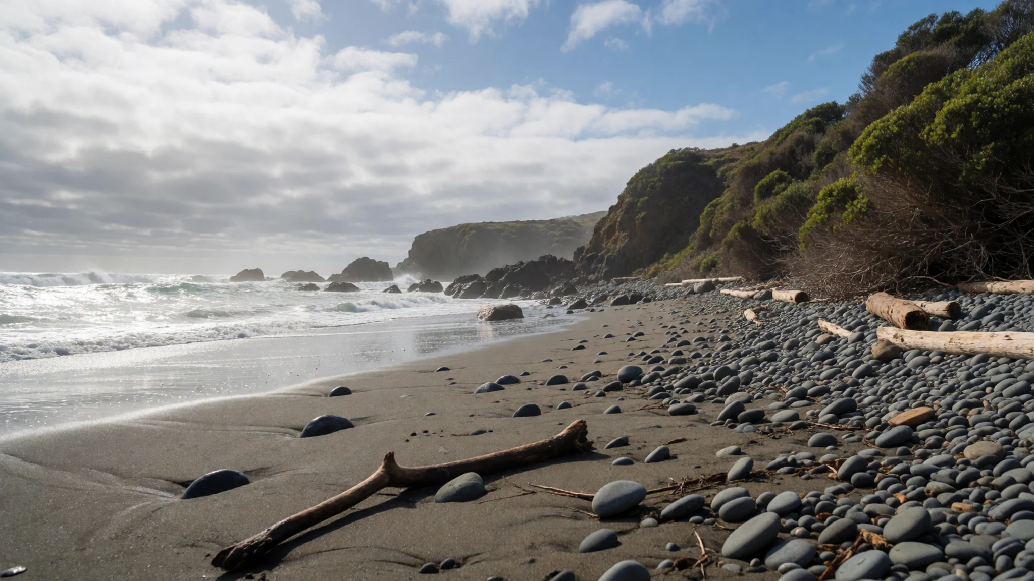
- The wooden churches — Castro, Dalcahue and Quinchao
Sixteen of Chiloé's churches are inscribed on the UNESCO World Heritage list, and the group includes the churches of Castro, Dalcahue and Quinchao. Built largely from local timber, many have bright interiors and sweeping naves. Visit a few rather than trying to see all of them, and check opening times locally because they vary with services.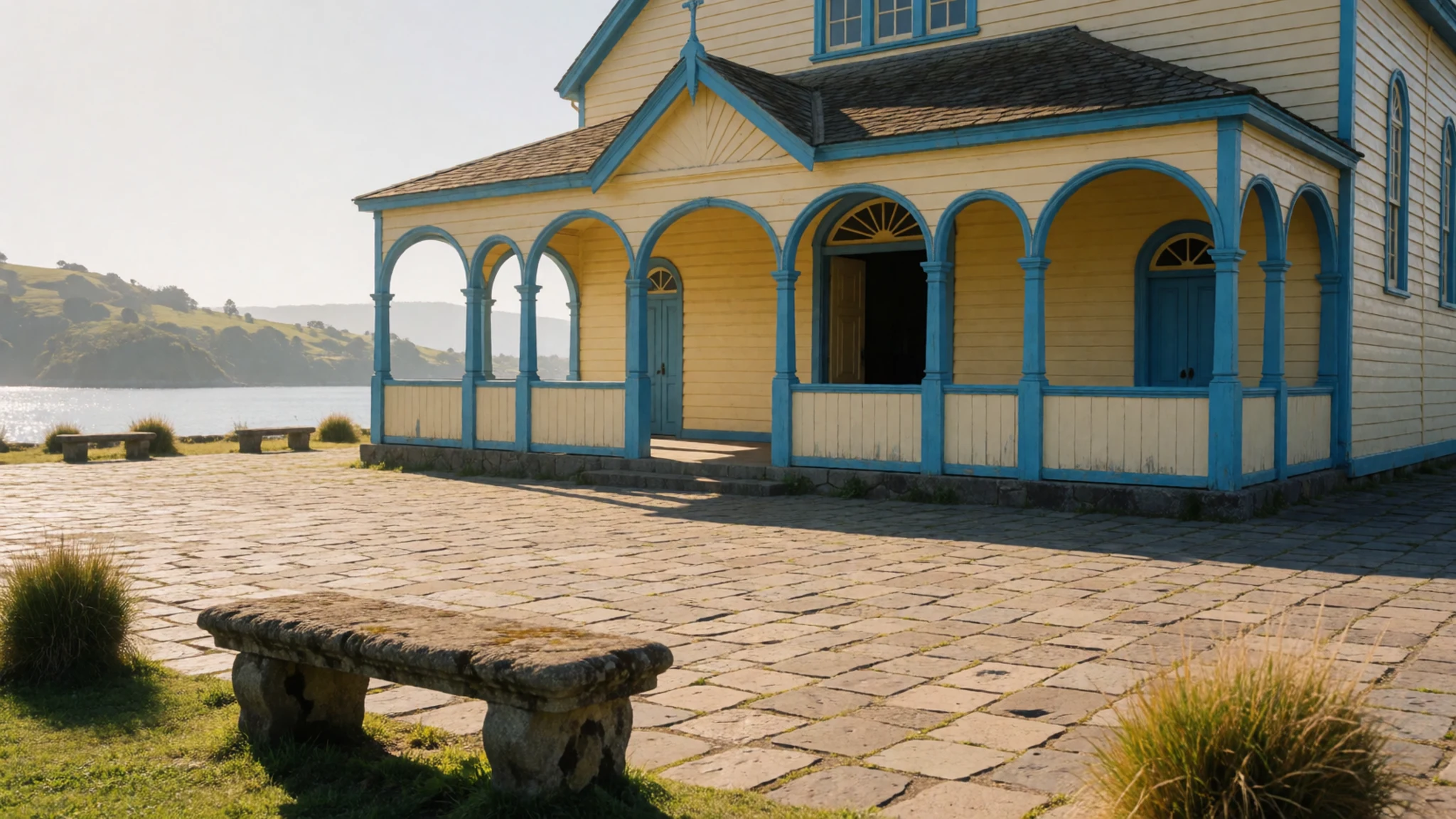
- Castro's waterfront and wool shops — Castro town centre and waterfront
Castro is the best base for exploring the eastern coast, with its stilted houses and wooden buildings along the water. Wool products are sold here and in Dalcahue, from knitted goods to woven pieces. Look at the workmanship, ask where the wool came from, and compare a few shops before buying.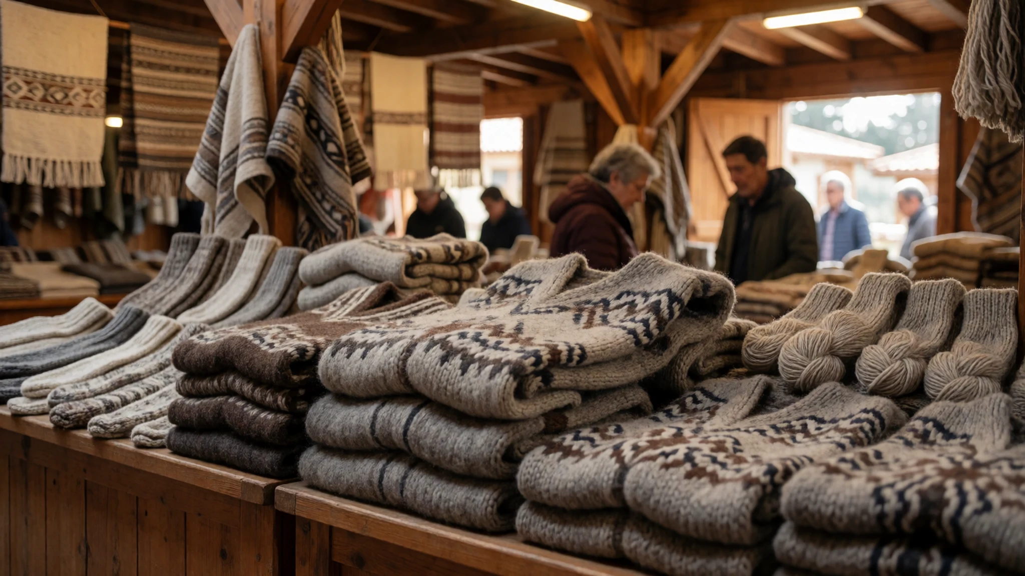
- The fort at Ancud — Ancud, northern tip of the island
Ancud, on the northern tip, has a fort that tells the story of the island's Spanish period and its later role as a frontier. It is a good half-day visit on the way to the northern coast, and the views over the sea add to the appeal. Check the official site or the local tourist office for current hours before you go.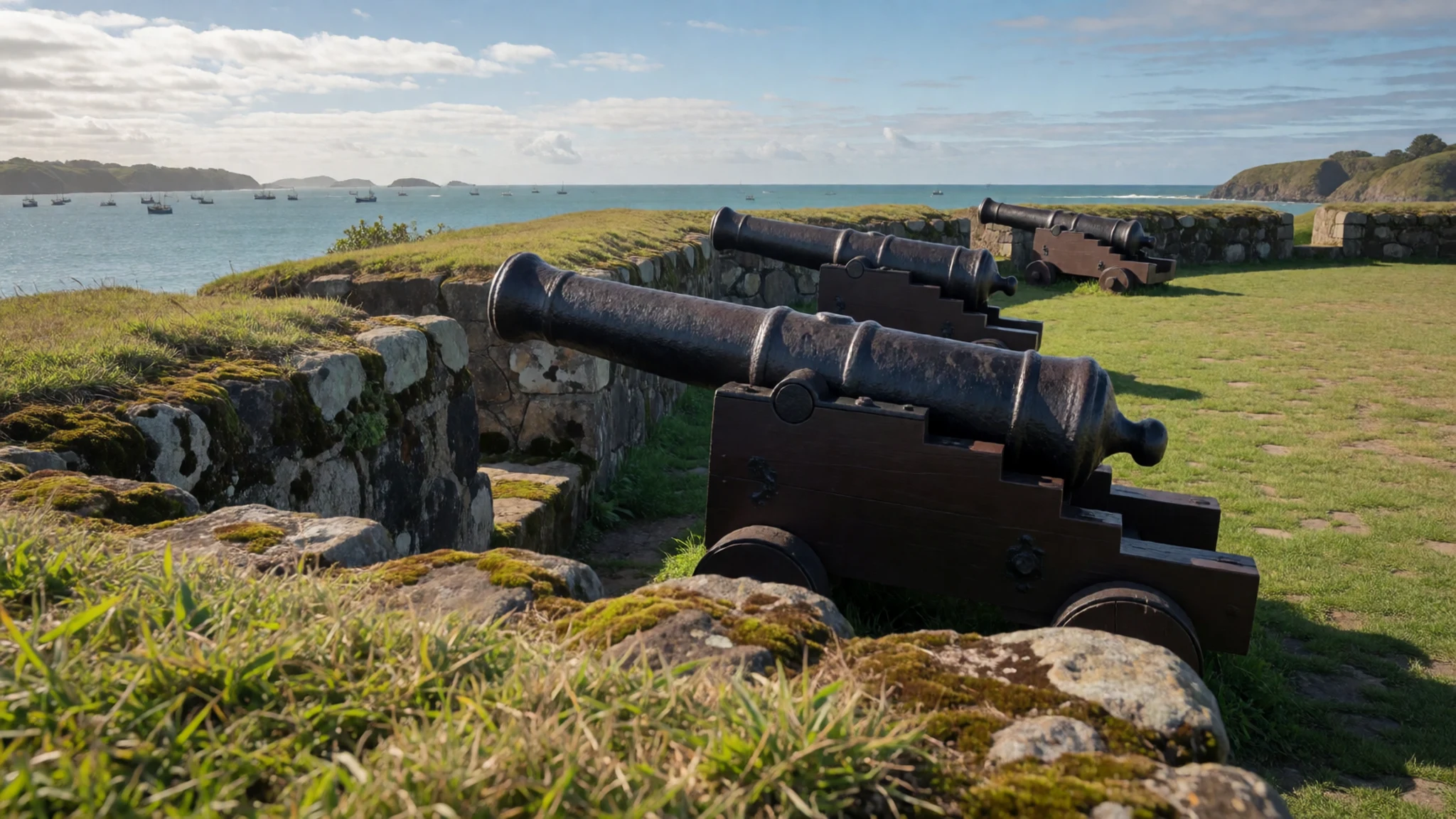
- Cucao beach and the Tepual forest — Cucao, Chiloé National Park area on the west coast
Cucao, on the west coast, is where you can walk through the tepual, a dense, low forest of the western shore, and search the sand for razorclams at low tide. Shorebirds such as the pilpilén nest on the beach, so watch where you put your feet. Tides change daily, so check the local tide times before you go clamming.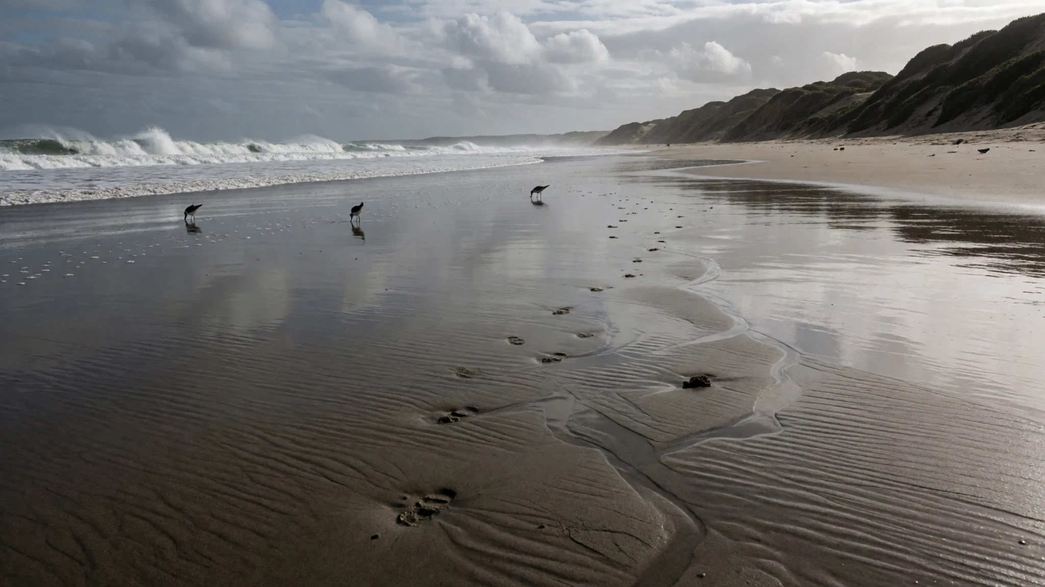
Culture
Chiloé's culture is a blend of Spanish colonial inheritance and the older traditions of the Chono, Huilliche and Cunco peoples. The island's identity is closely tied to the sea, to the wooden churches built by Jesuit and other missionaries, and to a strong sense of local solidarity. Food, boatbuilding and wool work all carry that mix forward. Many families still fish, farm small plots, and make a living from the sea, so village life moves at the pace of the tide and the weather. Religious festivals, especially around patron saints, bring communities together, and visitors are welcome to watch if they keep a respectful distance. Expect a quiet, unhurried pace in towns and villages, with shops closing for lunch in some places. When you enter a church, keep your voice low and do not photograph congregations during services, and ask before you take pictures of people at markets or festivals.
What to wear
Traditional dress on Chiloé is practical rather than ornate, shaped by wind, rain and long hours outdoors. The island is best known for its wool. Knitted goods and woven pieces, often in undyed or deep natural tones, have long been made in households and sold in Castro and Dalcahue. Wool is warm even when wet, which suits the damp climate, so it remains the island's most useful textile. Older generations may still wear heavy wool layers and caps for work, while the rhythms of fishing and farming have not changed much.
What people wear now is a mix of practical outdoor clothing and everyday town wear. In Castro and Ancud, you will see jumpers, waterproof jackets and sturdy boots alongside the odd hand-knitted piece. Weather changes quickly, so layers are the norm, and rubber boots are common in the countryside.
For a visit, pack a waterproof jacket, a warm wool or fleece layer, and a hat. Shoes should grip wet boardwalks, muddy trails and sand; leave fashion footwear at home. Dress neatly when visiting churches, and cover shoulders in any religious setting.
What to eat
- Curanto — Traditional eateries in Castro and Dalcahue, and community feasts
The island's signature dish is a hearty stew of seafood, meat and vegetables, traditionally cooked in an earth oven with hot stones and layered in leaves. It is filling and cheap, and it is often served at celebrations. Look for it at traditional eateries around Castro and Dalcahue, and ask in advance if you want the full version.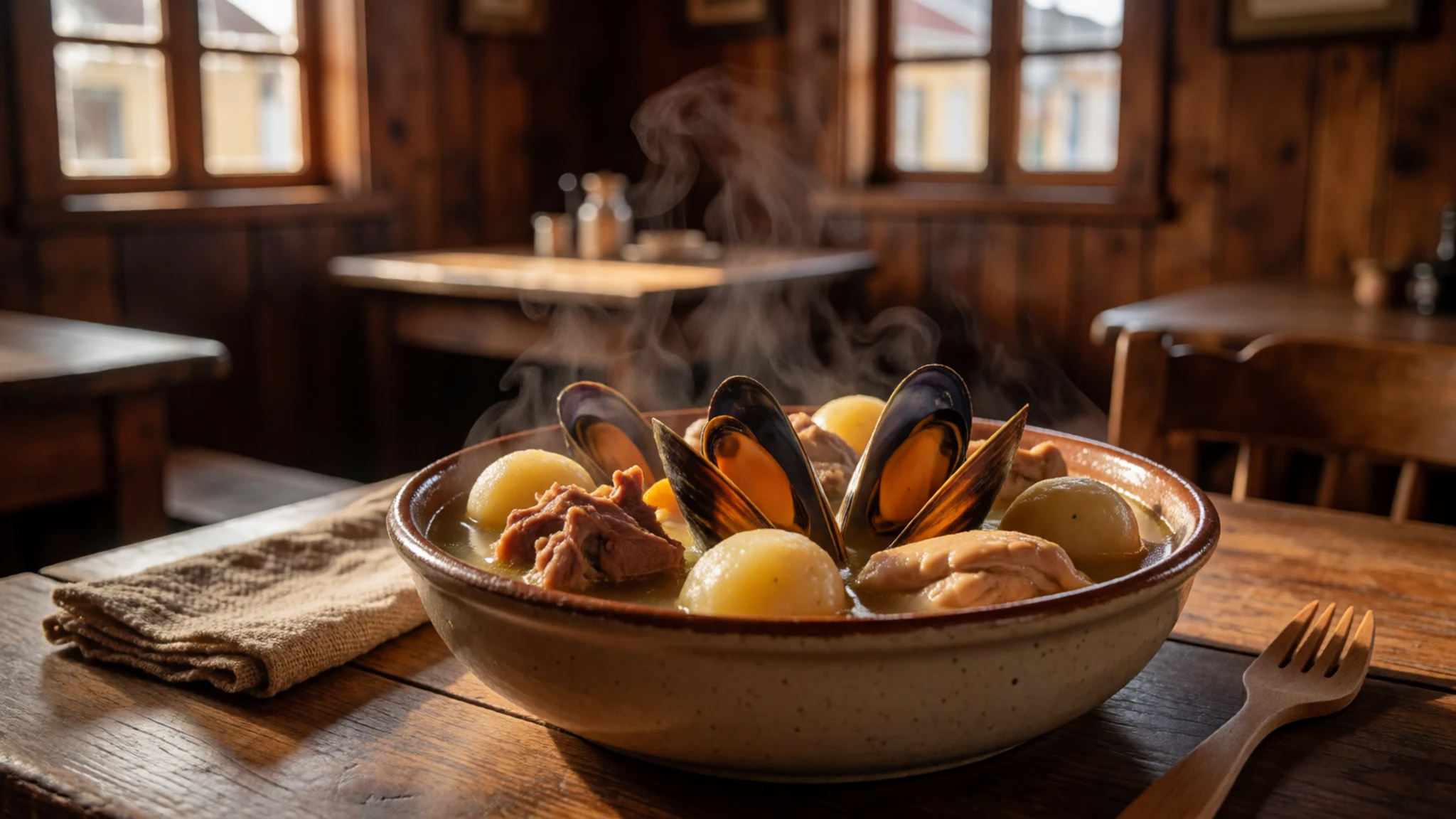
- Empanadas from the cocinerías — Cocinerías inside the Dalcahue market
The cocinerías, the small cooked-food counters inside Dalcahue's market, serve empanadas that are a quick and inexpensive lunch. Fillings often include seafood or meat, and they are best eaten hot from the stall. Go late morning when the market is busy and the food is freshly made.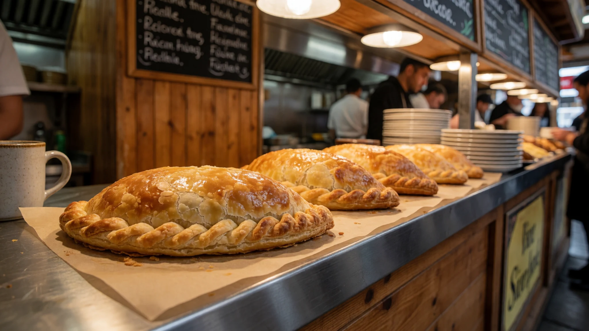
- Chochoca with calen — Rural kitchens and family-run eateries in the Calen area, near Castro
Chochoca is a traditional flatbread of potato and flour, cooked on the embers of a wood fire. It shows the influence of Huilliche cooking and rural kitchens, and is best eaten warm with butter or a simple accompaniment. Ask at a family-run kitchen or a rural eatery in the Calen area. - Local cider and navegado — Market stalls, cocinerías and small town eateries
Chicha de manzana, a local apple cider, and navegado, a warm wine with orange and cinnamon, are the drinks to try. Licor de oro is a sweet local liqueur you will see on shelves. Order them at market stalls or cocinerías, and carry some cash for small purchases.
Plan it
Best time. December to March, when the east is at its driest and warmest and the days are long. The west stays wet in every month, peaking from May to August, so pack for rain even in summer.
How long. 2–3
Getting there. Fly into Puerto Montt, which has regular flights from Santiago. From Puerto Montt, take a bus or drive south-west to Pargua, where ferries carry buses and cars across the Chacao Channel to the island. Bus tickets often include the ferry, and crossings run regularly from about 06:30 until noon.
Budget. low
Tips
- Buy bus tickets to your town in Puerto Montt, since many include the ferry crossing
- Check Navimag and Naviera Austral websites for current ferry schedules, as they change
- Carry cash for small markets, cocinerías and rural shops, because card payment is not always available
- Base yourself on the east coast, the warmer and drier side, and visit the west on a separate day trip
- Ask about shellfish before ordering; check local advisories on harmful algae, and buy mussels and clams from reputable vendors
Etiquette
- Ask before photographing people at markets, festivals and churches
- Keep to marked trails and give nesting shorebirds on the beaches plenty of room
- Keep your voice low inside churches and do not photograph congregations during services
Nearby
Sources
- Wikidata Q504449 (CC0)
- Wikipedia: Chiloé Island (CC BY-SA 4.0)
- Wikivoyage: Chiloé Island (CC BY-SA 4.0)
- Photo: Castro visto desde el mirador de Tentén (thisfeministrox) (CC BY 2.5)
- Photo: Jesuit church on Chiloe Island (E10ddie) (CC BY-SA 4.0)
- Photo: Chiloe Island - X Region (Gabriel Urrutia Galaz) (CC BY-SA 2.0)
- Photo: Antigua locomotora de vapor en Castro (Carlos Teixidor Cadenas) (CC BY-SA 4.0)
- Photo: Arena con huellas de pilpilén, Cucao (Carlos Teixidor Cadenas) (CC BY-SA 4.0)
- Photo: Asando chochoca, Calen (Carlos Teixidor Cadenas) (CC BY-SA 4.0)
- Photo: Pilpilén en la playa Cucao Norte (Carlos Teixidor Cadenas) (CC BY-SA 4.0)
- Photo: Pilpilén en Calen (Carlos Teixidor Cadenas) (CC BY-SA 4.0)


