Cham Islands
Cham Islands, Vietnam
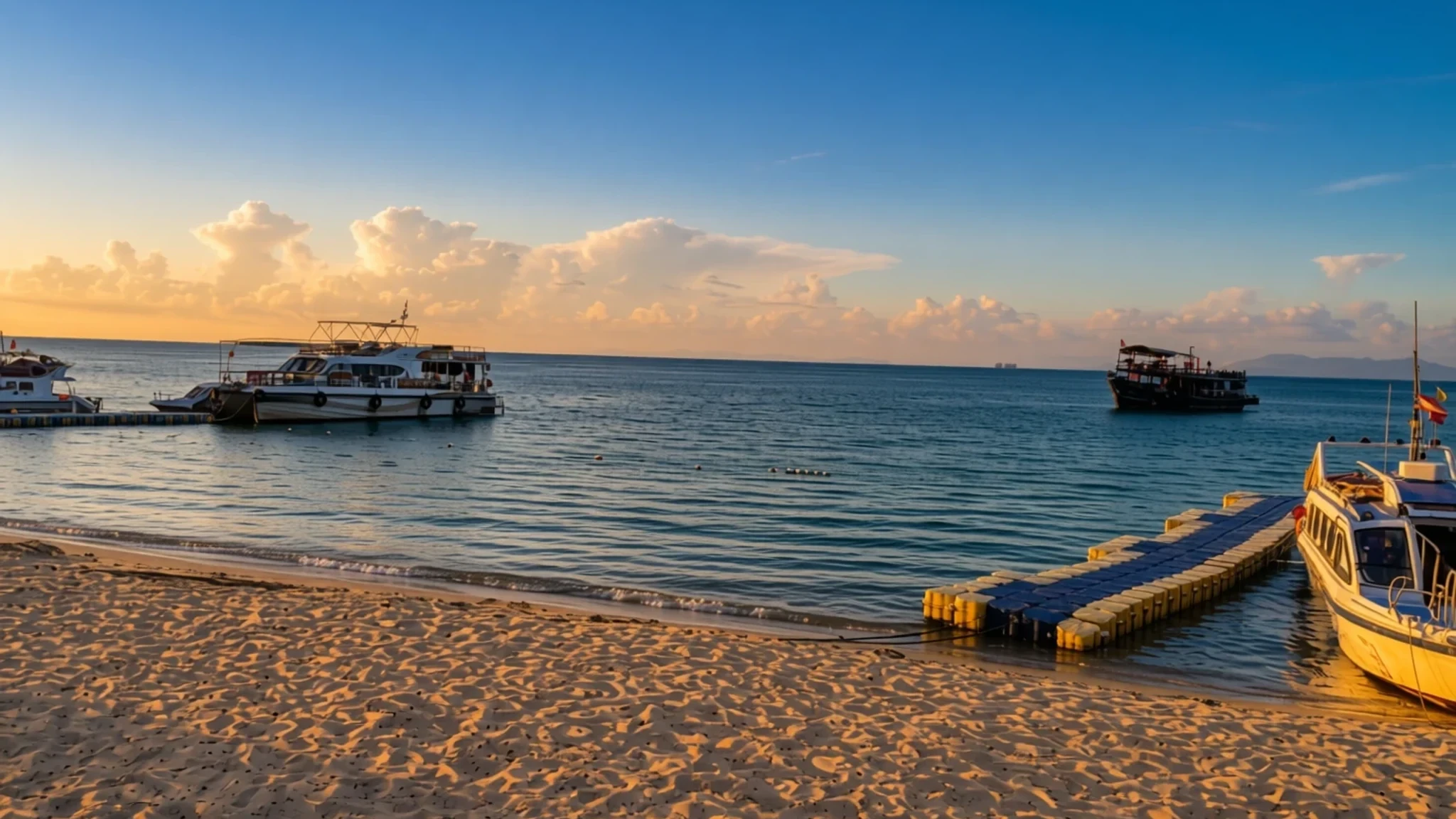
Eight small islands off Hội An, with forested hills, quiet beaches and a marine park that rewards snorkellers in summer.
The place
The Chàm Islands, known in Vietnamese as cù lao Chàm, form a cluster of eight small islands in the South China Sea. They belong administratively to the city of Da Nang, although the usual departure point is Cửa Đại beach near Hội An, roughly sixteen kilometres away. The largest island, Hòn Lao, is almost round and rises to a central peak of about 517 metres, so most of the group is steep, forested land rather than flat sand. Smaller islets such as Hòn Dài, Hòn Mồ and Hòn Ông lie around it. The whole group is part of the Cu Lao Cham Marine Park, which UNESCO recognises as a biosphere reserve, and it is also a national scenic site. Expect a landscape of sandy coves tucked between granite hills, with patches of natural forest covering roughly a quarter of the main island. Wild monkeys live in those trees and come near the paths, so food is best kept packed away. Life here still centres on fishing. The two villages, the larger Bãi Làng and the smaller Bãi Hương, feel like working fishing communities rather than resorts. Much of the appeal lies underwater: the protected waters hold corals and reef fish, and some zones allow snorkelling only with a permit. Visitors who come for a day or stay in a simple homestay usually find the pace slow and the facilities basic. Water, sun protection and cash are worth carrying.
Its story
The Chàm Islands have a long record of use. Archaeologists suggest that Cham people first settled here about 3,000 years ago, and that trading contacts with other countries had formed roughly 1,000 years ago. The islands served as a transfer point, where cargo was moved between boats and the mainland, which made them a useful stop for coastal traders. Later builders left religious monuments behind. The Thần Yến Sào shrine, built in 1843 at Bãi Hương, is among the most visible, and the Hải Tạng pagoda, put up in 1753 on the western slope of Hòn Lao, still overlooks the sea. Small walls, dykes and basins for terrace rice growing survive in the forested interior, a reminder that people once farmed land that now looks wild. The bedrock belongs to a granite mass along this stretch of coast, linked to the Hải Vân complex of the early Triassic period and made mostly of biotite and two-mica granites. Over the centuries the group moved from a trading stop to a fishing community. Today its administration sits within Da Nang, and the monuments and the marine park are the main reminders of the islands' older roles.
What to see
- Hải Tạng pagoda — Western hillside, Hòn Lao
The Hải Tạng pagoda was built in 1753 on the western hillside of Hòn Lao, the largest island. It is one of the oldest standing monuments in the group, and the climb up the hill rewards walkers with wide views over the water. Go early in the day, when the air is cooler and the slope is shaded. Dress modestly and remove your shoes before entering the sanctuary.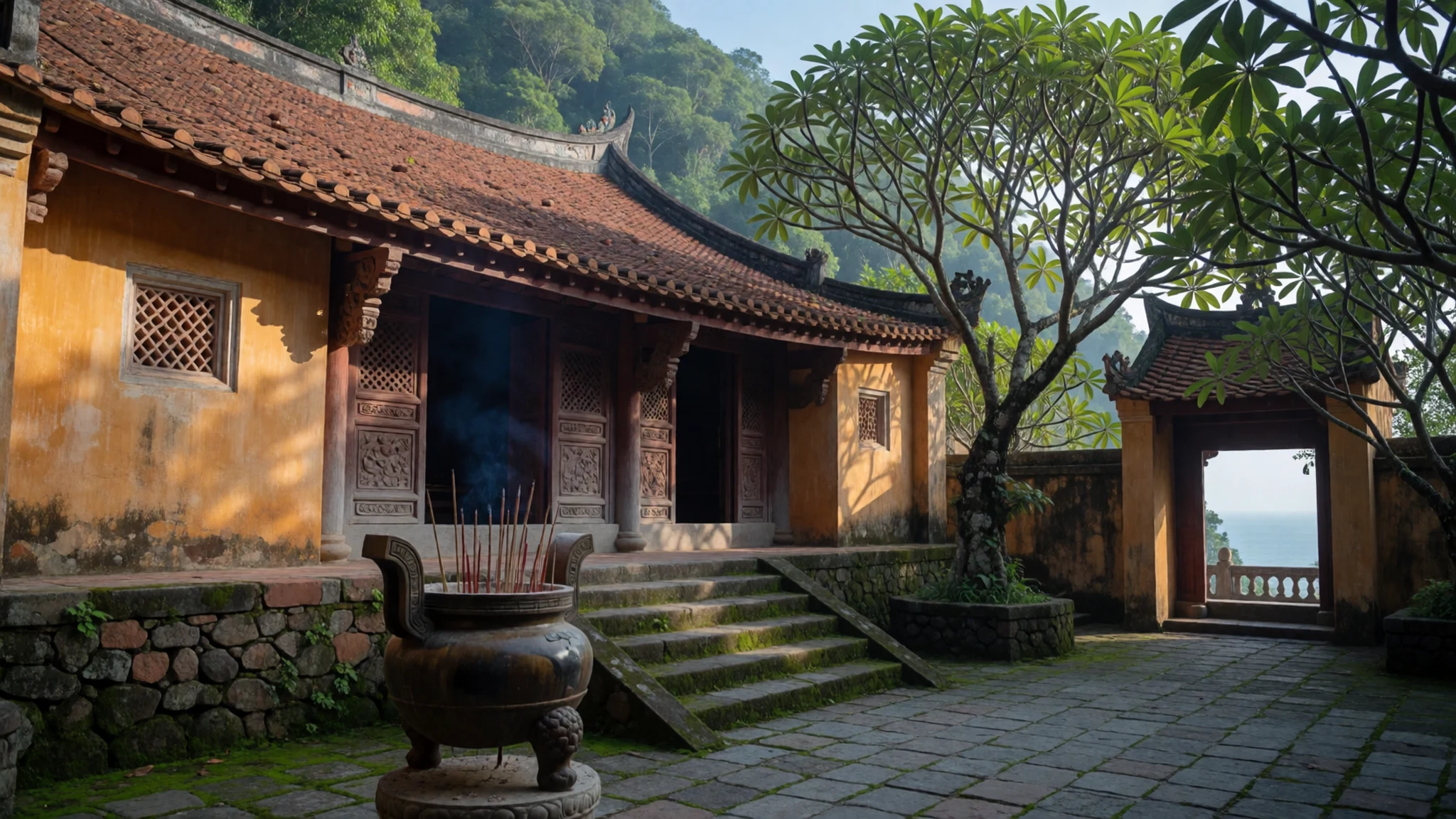
- Thần Yến Sào shrine — Bãi Hương village
This shrine at Bãi Hương dates from 1843 and is a small, quiet place of worship used by village families. It sits among the homes and boats of the smaller village, so it is best approached on foot and with a calm manner. Photograph the building from outside, and ask before taking pictures of anyone praying. The village has only a few small coffee shops, so plan any refreshments in advance.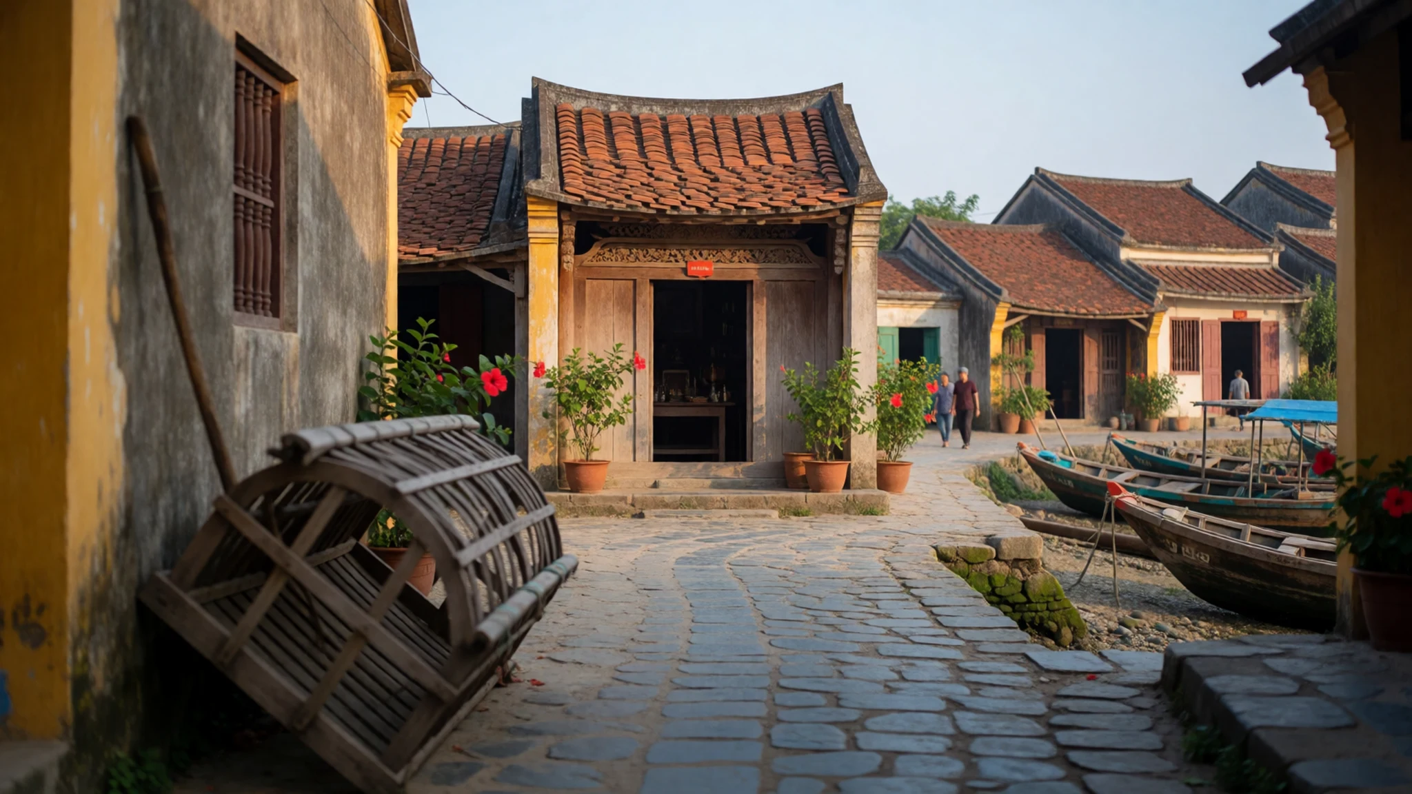
- Protected reefs for snorkelling — Protected zones around the islands
The waters around the islands hold corals, reef fish and jellyfish, and parts of the marine park allow snorkelling only. Entry to these protected areas needs a permit, and the fees support marine protection. The calmer summer months from June to August offer the clearest water and the strongest light. A T-shirt worn in the water helps against stings.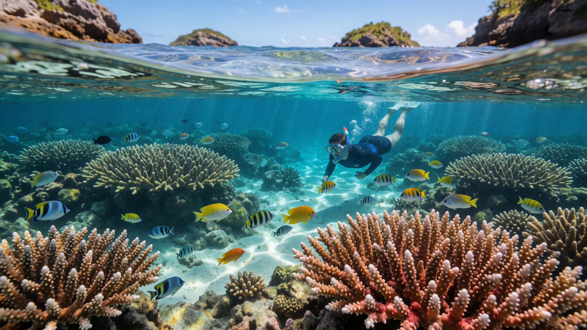
- Island forests and wild monkeys — Interior of Hòn Lao
Natural forest still covers roughly a quarter of the main island, and the trees support a large population of wild monkeys. The forest is one of the reasons the islands feel so removed from the mainland. Keep a distance from the animals, never feed them, and store food and bags securely. Walking is restricted to the road between the two villages, which keeps the interior undisturbed.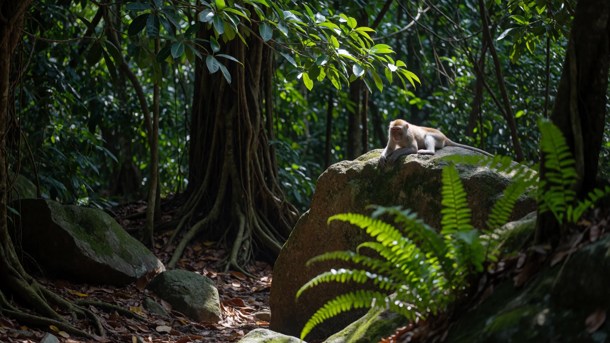
- Cu Lao Cham Marine Park views — Boat route from Cửa Đại and Hội An
The marine park is best appreciated from the water, where the granite hills rise steeply from clear shallows. Boats from Hội An pass through the river inlet, and the views open up as the group comes into sight. The sea can be rough from September to December, so check conditions before any trip. Morning crossings are generally calmer than afternoon ones.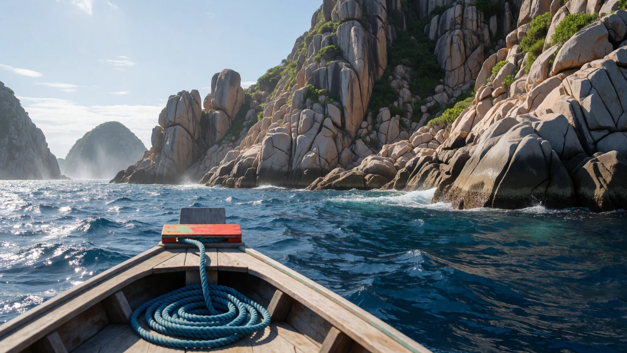
Culture
Life on the Chàm Islands runs on fishing, and the two villages are working communities before they are places for visitors. Bãi Làng, the larger village, has a handful of restaurants and a busy waterfront, while Bãi Hương is quieter, with only a few small coffee shops and the old Thần Yến Sào shrine. Religion is visible in the shrines and the Hải Tạng pagoda, which are places of worship and not stage sets. Fishing boats and nets belong to people earning a living, so ask before photographing anyone at work. Wild monkeys visit the forest edges and should be left alone. Visitors are also expected to respect the marine park, staying out of protected zones without a permit and keeping noise down in the villages in the evening. When you enter a shrine or pagoda, take off your shoes at the step, dress modestly and speak quietly.
What to wear
Island-specific records of dress are thin, so this account stays general. Cham communities in central Vietnam are known for their own weaving and embroidery traditions, using cotton and silk, and older women's clothing on the mainland has traditionally included long wrapped skirts and loose blouses. Such garments are rarely worn on the islands day to day, and any traditional outfits seen there are more likely to be ceremonial than ordinary. What people wear now is practical: T-shirts, shorts or long trousers, rubber sandals and wide-brimmed hats. Fishing families dress for boats and sun. Visitors should dress for heat and strong sun. Lightweight, quick-drying clothes with long sleeves help against sunburn and against jellyfish, and a T-shirt for swimming is sensible. Covering shoulders and knees is wise at the pagoda and shrine, and a light sarong or shawl is easy to carry for that purpose. For rocky landings and the village road, sturdy sandals or reef shoes work better than flip-flops.
What to eat
- Grilled reef fish — Restaurants on the waterfront at Bãi Làng
Served at the few restaurants in Bãi Làng, the larger village, where the day's catch is cooked over charcoal. The menu follows the boats, so it changes with the weather. It usually comes with rice, herbs and a sharp dipping sauce of lime and fish sauce.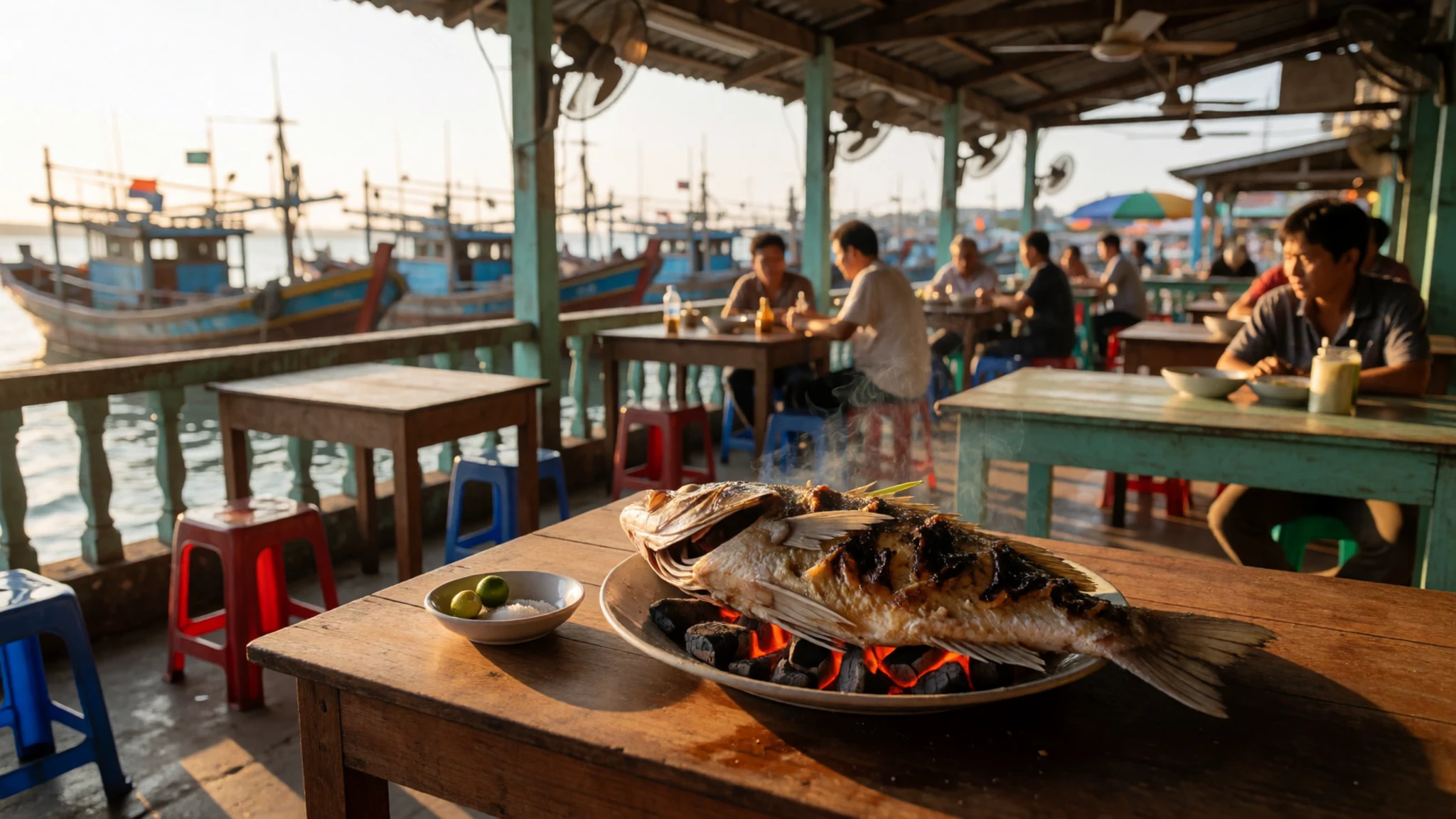
- Squid and shellfish — Simple seafood eateries in Bãi Làng
Grilled or stir-fried squid and clams appear on the menus of Bãi Làng's restaurants whenever the boats bring them in. Shellfish are usually cooked with garlic and chilli. Because supply depends on the day's catch, ask what is available before ordering.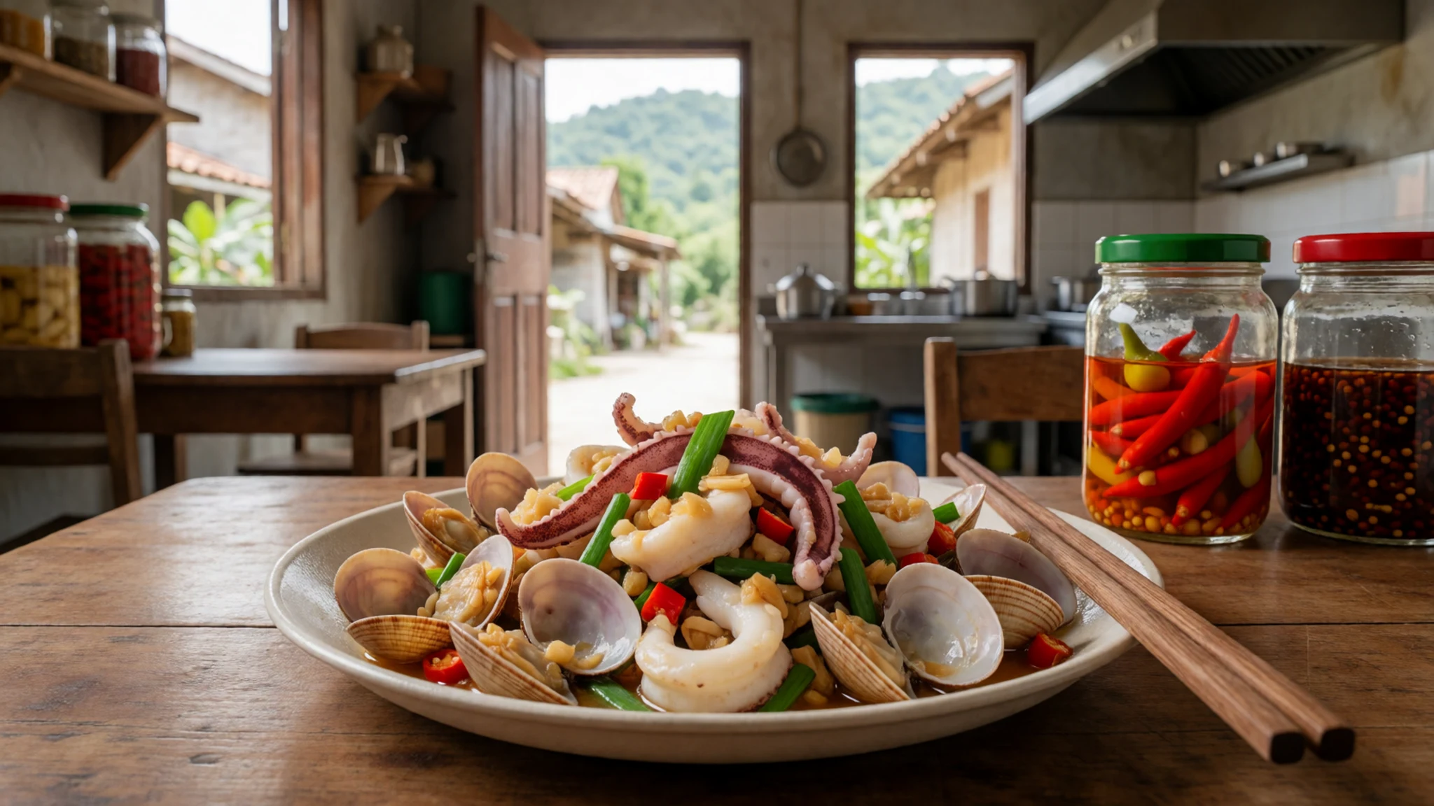
- Vietnamese iced coffee — The small coffee shops in Bãi Hương
Cà phê sữa đá, strong coffee with condensed milk poured over ice, is the easiest drink to find on the islands. It is sweet, dark and cold, which makes it a good way to cool down after a walk. Ordering it without ice is also possible. - Cao lầu — Stalls in the old town of Hội An
A noodle dish from Hội An, made with thick rice noodles, pork, herbs and crisp croutons. It is not an island dish, so eat it on the mainland at a stall in the old town before or after the boat trip. - Fresh fruit from the mainland — The morning market in Hội An, by the river
Seasonal fruit reaches the islands by boat from the mainland, so it is often bought at the morning market in Hội An before the ferry leaves. Buy it early, keep it shaded, and eat it soon after landing, because the boat ride is hot and the fruit bruises easily.
Plan it
Best time. June to August, when the sea is almost always calm enough for boats and the snorkelling is at its best. From September to December the north-east monsoon brings breaking swells that make the islands nearly unreachable, and January to May is only sometimes possible. Mornings are calmer than afternoons, and summer squalls often build in late afternoon.
How long. 2–3
Getting there. Fly into Da Nang, then travel to Cửa Đại beach near Hội An. Boats leave from Hội An's public pier or from Cửa Đại. The slow wooden ferry takes longer than the speedboat, and it does not run in rough weather.
Budget. mid
Tips
- Book a boat through a Hội An operator, and check that the vessel suits open water
- Go out in the morning, since wind and waves tend to pick up after midday
- Carry cash for small purchases on the islands
- Check the marine park administration about snorkelling permits before you travel
- Pack a T-shirt for the water, as jellyfish are common
Etiquette
- Keep walks to the road between the two villages, as hiking is only allowed there
- Do not feed the monkeys or leave food unattended
- Stay within the snorkelling areas and follow the marine park's rules
Nearby
Sources
- Wikidata Q386184 (CC0)
- Wikipedia: Chàm Islands (CC BY-SA 4.0)
- Wikivoyage: Chàm Islands (CC BY-SA 4.0)
- Cu Lao Cham Marine Park, Vietnam (photo 01) (CC BY 2.5)
- View of Chamba Island, Vietnam (photo 02) (CC BY-SA 2.0)
- Bãi Hương village, Cham Islands (photo 03) (CC BY-SA 4.0)
- View of Chamba Island, Vietnam banner (photo 04) (CC BY-SA 2.0)
- Cham Islands seen from Cua Dai beach (photo 05) (Public domain)
- Toàn cảnh chùa Hải Tạng (photo 06) (Public domain)
- Cu Lao Cham Marine Park, Vietnam (photo 07) (CC BY 2.5)
- Cu Lao Cham Marine Park, Vietnam (photo 08) (CC BY 2.5)


