Chaco Culture National Historical Park
Chaco Culture National Historical Park, United States
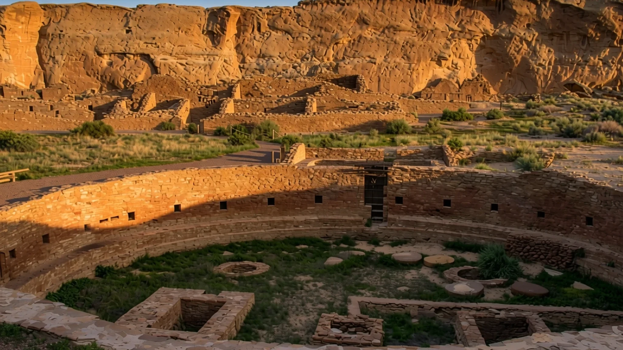
A remote canyon in the New Mexico desert, home to some of the largest ancient buildings ever raised in North America.
The place
Chaco Culture National Historical Park sits in northwestern New Mexico, in a long, dry canyon carved by the Chaco Wash. Getting there feels remote even by the standards of the American Southwest: the nearest towns are small, and the final stretch is unpaved. The park protects a dense group of ancient stone buildings built by the Ancestral Puebloan people. Several great houses stand on the canyon floor beside a loop road, each with a short trail, so the sites can be visited one after another.
The landscape is high desert: wide skies, sagebrush, sandstone cliffs and very little shade. Summers are very hot, and the rains of July and August can bring sudden storms, while temperatures can swing sharply from morning to night. The canyon is quiet in a way few visitor sites are, and that is a large part of its appeal. There is no food service inside the park, so visitors arrive with water, food and a plan.
Chaco matters deeply to Pueblo and Hopi peoples, who regard the canyon as an ancestral homeland. The sites are fragile, and the park's rules reflect that. Fajada Butte is closed to the public because visitors were eroding it, and the trails are shaped with care. Much of what stands here was built from sandstone quarried nearby and timber brought in from distant forests, which says a lot about the organisation behind the place. Most people spend a half-day on the loop, though the remote trails take longer. Visitors who take the rules seriously tend to get the most from a walk through the ruins.
Its story
Chaco Canyon's story begins long before its famous buildings, with small bands of hunter-gatherers who camped in the canyon and the wider basin thousands of years earlier. Archaeologists have recorded more than seventy campsites from this early period, many marked by stone chips and other traces of daily work. Over time these people became more settled and more skilled. They wove baskets to store wild plants, and some began tending food crops. Slab-lined storage pits show a shift away from constant movement. Those early campsites are not the spectacle most visitors expect, which makes the later great houses all the more striking.
The great building era belongs to the Ancestral Puebloans, whose stone and timber houses rose in the canyon between about 900 and 1150. Builders quarried sandstone, carried timber over long distances, and laid out large complexes with plazas and round ceremonial rooms called kivas. Chaco became a major cultural centre, and its largest buildings remained the biggest of their kind in North America for centuries.
Around 1130 a drought set in that lasted roughly fifty years. Many researchers think the dry spell, combined with pressure on land and food, encouraged people to move away, and the canyon gradually emptied. Their descendants are among the Pueblo and Hopi communities who still see the canyon as part of their own history, and their oral accounts of migration keep that link alive.
What to see
- Pueblo Bonito — Canyon floor, loop road
Pueblo Bonito is the ruin most visitors come to see first, and it is easy to understand why. Its multi-storey walls curve around a large plaza, and the layout shows how carefully the Chacoans planned their buildings. An aerial overview, shown in the photo, makes the rooms and courtyards easier to read from the ground.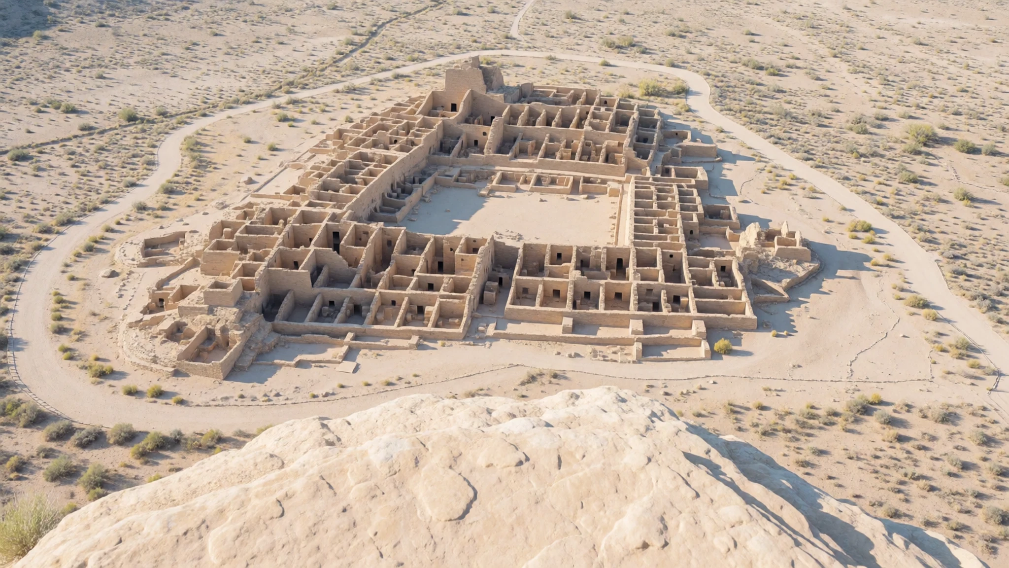
- Chetro Ketl — Canyon floor, loop road
Chetro Ketl is a large complex with a great kiva set into an open plaza, and it rewards a slow walk around its walls. The great kiva, a circular ceremonial room, sits in the middle of the court, where you can see how the building blocks were laid. The photo shows the ruin from the plaza. Give it time, and keep to the marked paths.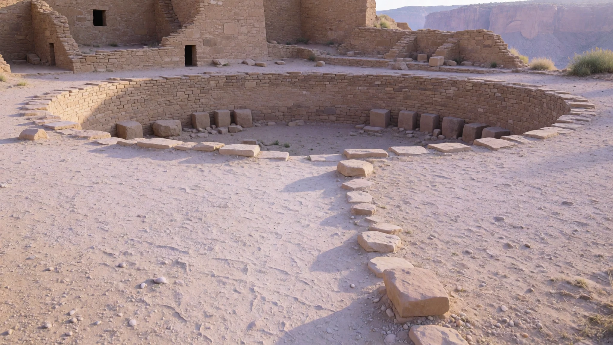
- Peñasco Blanco and its pictograph — Trail from the canyon floor
Peñasco Blanco is reached by one of the day-use trails that lead out to remote pueblos. Its well-preserved pictograph, under a rock alcove below the main structures, is thought by some to record the great supernova of 1054. Keep a respectful distance from it. The trail crosses a wash that can become dangerously full after thunderstorms upstream, so check conditions before you set off.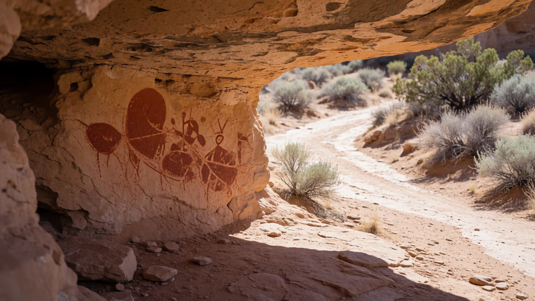
- Hungo Pavi — Central canyon
Hungo Pavi sits in the central part of the canyon, and its staircase is one of the features photographers return to. The stone steps and walls give a sense of how the upper levels were reached. Because the ruins are fragile, stay on the marked route and do not climb on walls. Go early or late in the day, when the low light brings out the sandstone.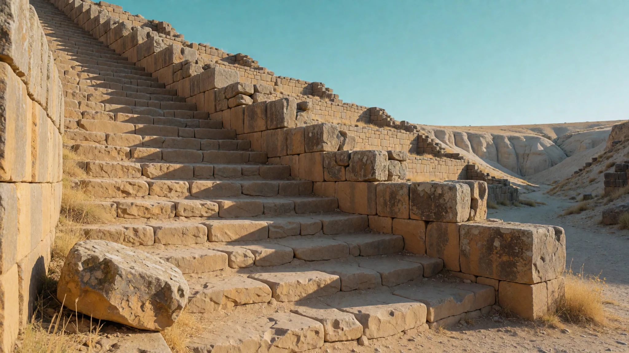
- The visitor centre — Chaco Canyon
The visitor centre is the place to start. Its exhibits explain the canyon's history and the Pueblo and Hopi connections to it, and staff can point you to current trail and road conditions. Pick up a pamphlet for the sites and the free permit needed for the day-use trails. Check the official National Park Service site for opening hours before you drive out.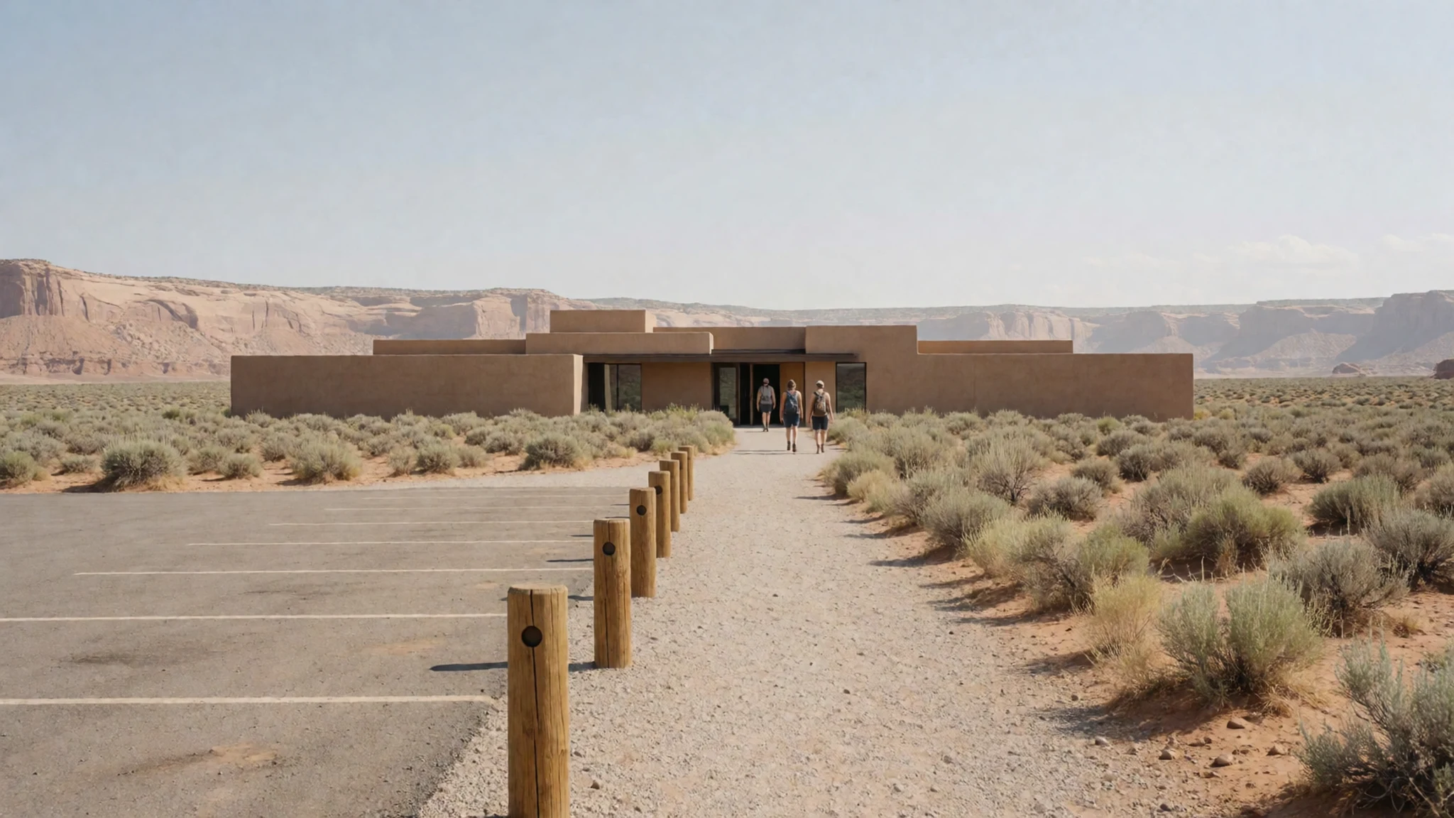
Culture
Chaco Culture is more than an archaeological park. Pueblo and Hopi peoples regard the ruins as ancestral homelands, and they keep oral accounts of migration from the canyon and of their ongoing spiritual ties to the land. Many of those traditions are private, so visitors should not treat the site as a simple display of old stone. The surrounding country is sparsely populated and very quiet, and local communities deserve the same consideration as the buildings. Alcoholic drink is prohibited on the neighbouring Navajo Nation, which lies immediately west of the park, so leave it out of your car. Fragile features are closed to protect them, and the rules you see on the trails are there for a reason. Many visitors walk in the heat without enough water, and the canyon offers almost no shade, so bring both. Do not climb on walls, take anything from the site, or photograph residents of nearby villages without asking first.
What to wear
Chaco Canyon's earliest residents made cloth and cordage from plant fibres such as yucca, and later grew cotton, so textiles have deep roots in the region. Today's Pueblo and Hopi communities keep weaving and dress traditions alive. Ceremonial clothing, often made from cotton and wool, is worn at dances and feasts in the villages, not for visitors, and it should be treated accordingly. Most people wear everyday contemporary clothes, much like anyone else in New Mexico. For your own visit, dress for dry heat and sudden cold: layers, a wide-brimmed hat, sunscreen, and sturdy closed shoes with good grip, because trails run over loose sand and sandstone. Light cotton shirts and long trousers protect against sun and scrub. Choose modest clothing if you visit nearby villages, and avoid anything that reads as costume at a sacred site.
What to eat
- Fry bread — Diners and family-run eateries in Gallup or Farmington
Fry bread is a disc of dough deep-fried until golden and puffed, eaten plain, with honey, or split and filled with savoury stew. Ask in a diner or family-run eatery in Gallup or Farmington, where it is often made to order.
- Green chile stew — Family restaurants in Farmington, Bloomfield or Aztec
Green chile stew is made with roasted green chillies, potatoes and often pork, and it is a staple across the state. You will be asked how hot you want it. Look for it at a diner or family restaurant in Farmington, Bloomfield or Aztec.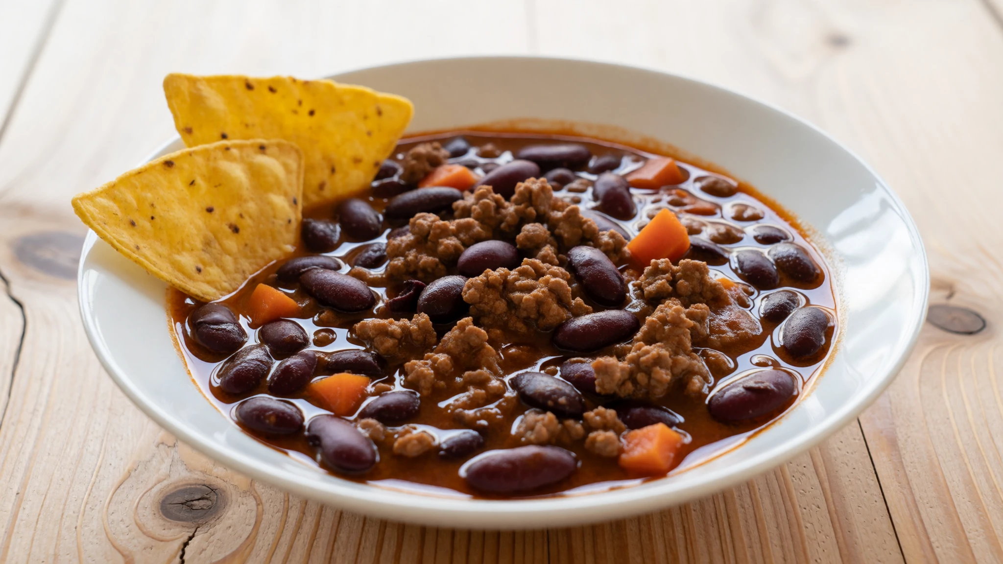
- Posole — Basic eateries in Crownpoint, the nearest town
Posole is hominy, corn softened in lime and simmered slowly with pork and chile until the kernels swell. It is a dish for celebrations and for ordinary weekday meals. Crownpoint, the nearest town, has only basic food service, so ask whether a simple bowl of posole is on offer.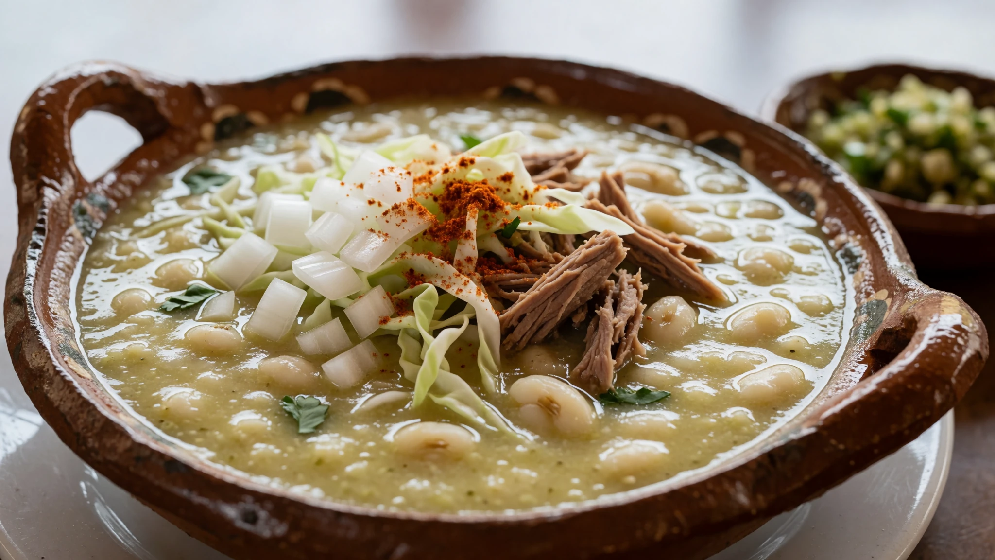
- Blue corn tortillas — Grocery stores in Farmington, Gallup or Grants
Blue corn tortillas are thin, soft cakes made from blue maize, with a nutty flavour and a deep colour. They appear at breakfast and alongside stews across the region. Buy a packet from a grocery store in Farmington, Gallup or Grants, and eat them soon after buying.
Plan it
Best time. June is the driest month, with April and May close behind, so late spring suits walking the trails best. July to September brings the likeliest rain and summer storms that can flood washes. Winter nights can be bitterly cold, and temperatures swing sharply in every season.
How long. 1–2
Getting there. Albuquerque has the nearest major airport, a long drive south-east, so most visitors fly there and drive north-west. Farmington has commuter flights operated in partnership with United. There is no rail or bus service to the park. The final approach is the slow part: a turn off the main highway onto county roads, with the last stretch unpaved, so allow plenty of time. A sedan can manage it carefully.
Budget. low
Tips
- Collect a free permit from the visitor centre or a trailhead before walking the day-use trails
- Carry all your food and water, because there is no food service in the park
- Start early or stay until the late light, when the walls glow and the heat is lower
- Check for flood risk before walking to Peñasco Blanco after storms
- Fill your fuel tank and buy supplies in Farmington, Bloomfield, Aztec, Gallup or Grants before you drive in
Etiquette
- Stay on marked paths and keep off the walls of the ruins
- Do not remove pottery, stone or any other object from the site
- Keep a respectful distance from the pictograph at Peñasco Blanco
- Ask before photographing people in nearby communities
Nearby
Sources
- Wikidata Q732463 (CC0)
- Wikipedia: Chaco Culture National Historical Park (CC BY-SA 4.0)
- Wikivoyage: Chaco Culture National Historical Park (CC BY-SA 4.0)
- Chaco Canyon Chetro Ketl great kiva plaza (NPS), via Wikimedia Commons (Public domain)
- Chaco Culture NHP (Greg Willis), via Wikimedia Commons (CC BY-SA 2.0)
- NPS map of Chaco Culture National Historic Park, via Wikimedia Commons (Public domain)
- Prehistoric Roads (USGS), via Wikimedia Commons (Public domain)
- Major ruins of Chaco Canyon (NPS), via Wikimedia Commons (Public domain)
- DSC 5961-w, Pueblo Bonito aerial (John Wiley), via Wikimedia Commons (CC BY 3.0)
- Chaco Canyon Hungo Pavi ruins staircase (NPS), via Wikimedia Commons (Public domain)
- Anasazi Supernova Petrographs (Alex Marentes), via Wikimedia Commons (CC BY-SA 2.0)


