Cape Verde
Cape Verde, Cape Verde
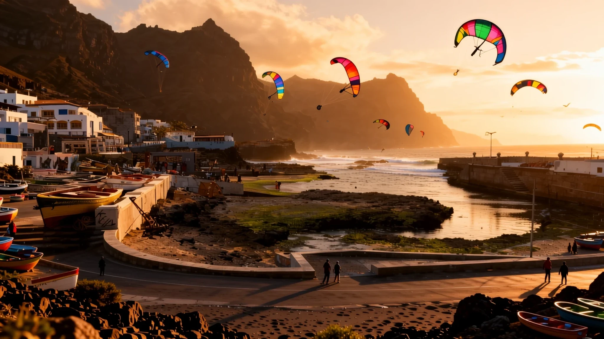
Cape Verde is a scatter of volcanic islands off West Africa, where Portuguese, African and Brazilian influences meet in music, food and island-to-island beach life.
The place
Cape Verde is an archipelago of ten volcanic islands in the Atlantic, roughly 500 kilometres off the west coast of Africa. The islands fall into two loose groups, and the difference shows. Some have wide, pale beaches and steady wind, while others rise into green, steep mountains cut by deep valleys. The total land area is only a little over four thousand square kilometres, so a trip between islands is quicker than it looks on a map, although ferries and short flights do not always keep to tight timetables.
Praia, on Santiago, is the capital and the main gateway. It is a working city rather than a resort, with a harbour, markets and government buildings, and a lively habit of walking round the praça to meet friends. Football and church activities are the usual ways people gather, and Portuguese runs through official life and schooling.
The islands suit different kinds of travellers. The sun-and-sand islands have resort development, watersports and diving, while the mountainous islands reward walkers with terraced valleys, villages stacked on slopes and cloud over the peaks. Heat is strongest late in the year, the wind can be fierce on exposed coasts, and island living costs more than many expect, so the trip is best planned around what each island offers.
Its story
Cape Verde was uninhabited until the mid-15th century. Genoese and Portuguese navigators reached the islands around 1456, and Portuguese records credit the Genoa-born navigator António de Noli with the first discoveries, after which the crown appointed him governor. Settlement followed quickly. In 1462 a group of Portuguese settlers landed on Santiago and founded Ribeira Grande, now called Cidade Velha, meaning Old City. Founded by Europeans, it was the earliest lasting European colony in the tropics, and the islands still hold that distinction in their history.
The archipelago's position made it a natural stopping point on Atlantic routes. Through the 16th and 17th centuries the islands grew prosperous on trade in manufactured goods, rum, cloth, ivory and gold, and they became entangled in the Atlantic slave trade. That history is hard and central to how the islands are understood today. Pirates raided the settlements as well. The English privateer Francis Drake sacked Ribeira Grande twice in 1585, when the Portuguese crown was part of the Iberian Union.
Around the mid-1800s, rivals from overseas, repeated dry spells and the waning of the slave trade left the islands in economic difficulty, and a large number of people chose to leave. Recovery came slowly, as the islands became a commercial centre and a stopping point for major shipping routes. Cape Verde became independent in 1975, and the country has since built its own institutions.
The landscape is far older than its human story. The archipelago formed roughly 40 to 50 million years ago, during the Eocene epoch, and its craters, dark lava slopes and steep valleys still show that volcanic origin.
What to see
- Cidade Velha — Santiago, south of Praia
The old Ribeira Grande settlement, now called Cidade Velha, is the first place to see for the islands' early history. Its ruins and old streets make a quiet half-day, and the setting, close to the coast, explains why the Portuguese chose it. Go in the cooler part of the day, bring water and expect a slow pace.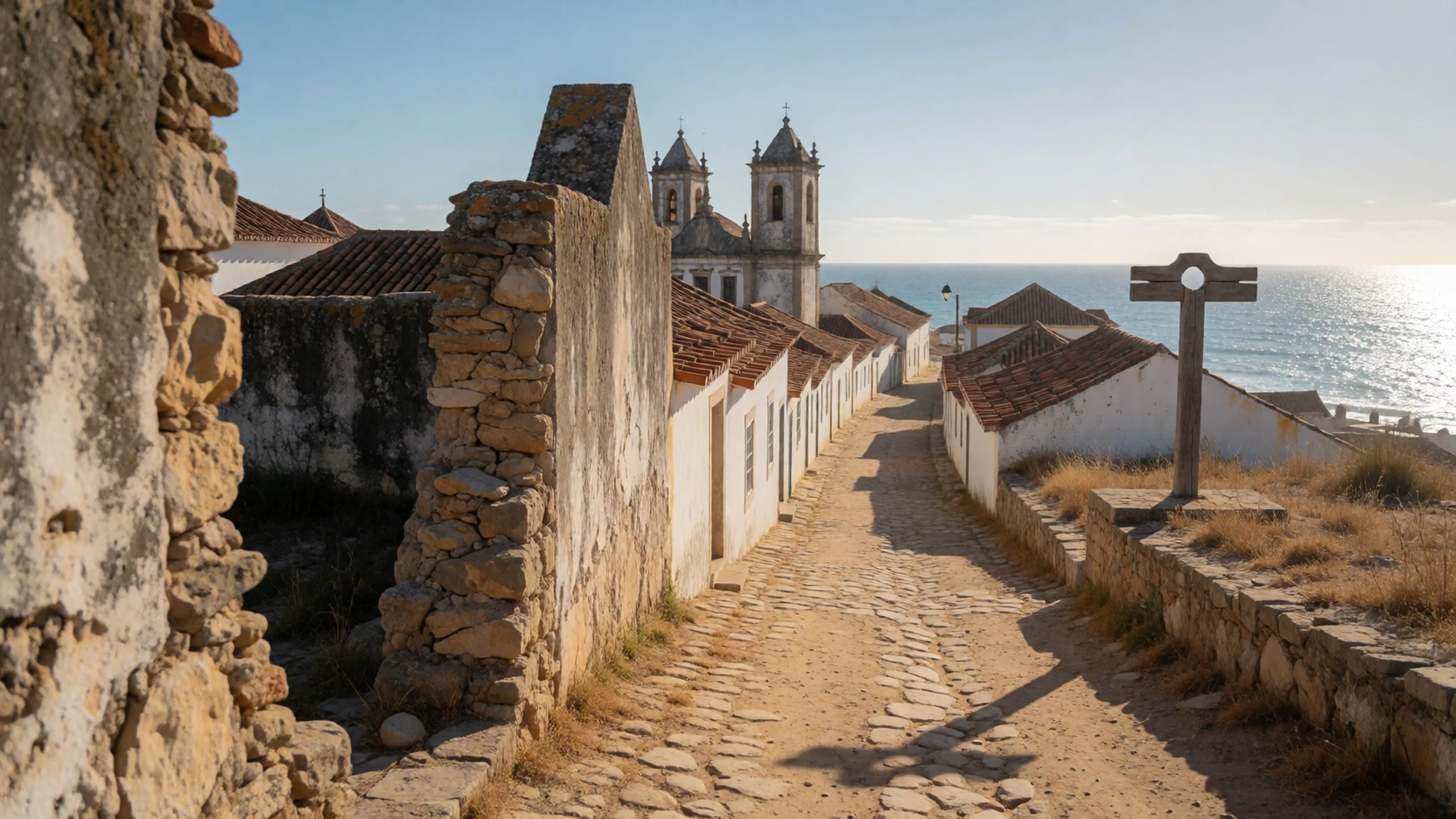
- Praia's civic buildings — Praia, Santiago
The town hall, the cathedral and the Palace of Justice cluster in the capital and give a clear picture of the city's administrative centre. They are best seen on foot in the morning, when the streets are quieter and the light is kind to the older façades. Interiors and opening times change, so check locally before you go in.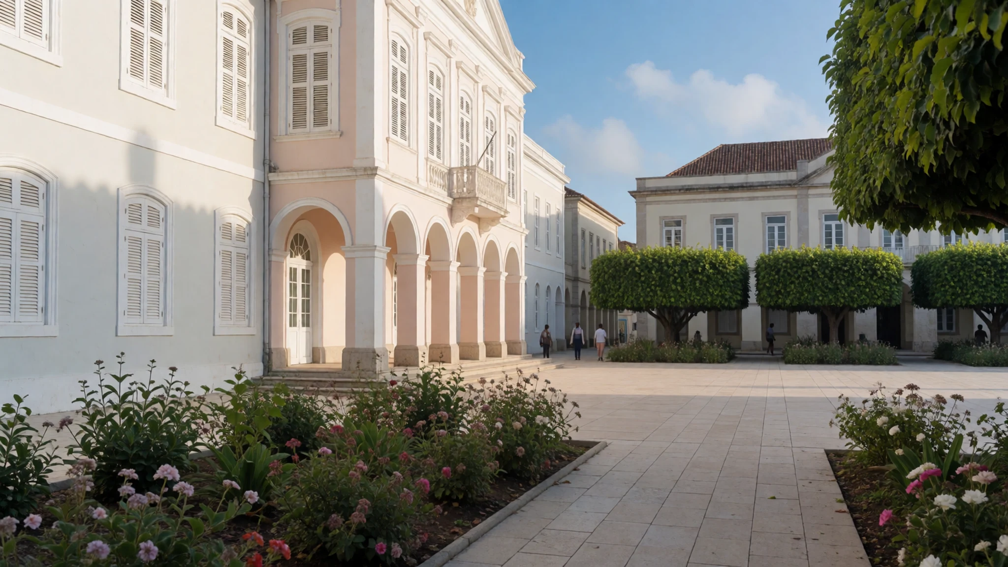
- Cova Valley — Santo Antão
The Cova Valley lies within the crater of an extinct volcano on Santo Antão, a green bowl that feels very different from the coastal islands. Walking the rim and the valley floor rewards patience, and the sides can be steep and slippery after rain. Local guides and sturdy footwear make the day safer and more rewarding.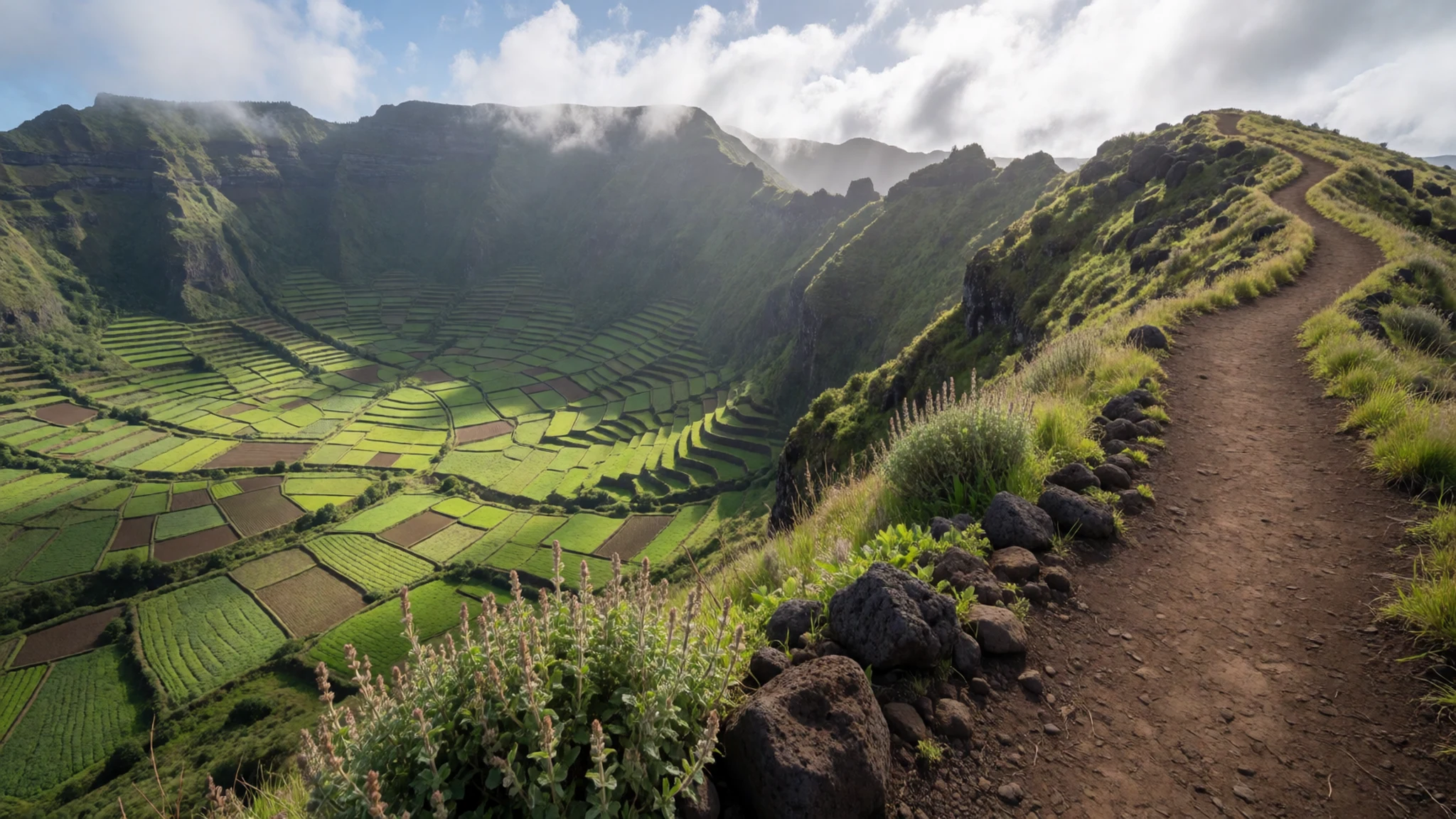
- Canyoning on Santo Antão — Santo Antão
Santo Antão is the island most associated with canyoning, with ravines and streambeds that suit people who enjoy scrambling and swimming. Conditions change with rain and water levels, so go with an operator who knows the routes. Early starts keep the heat manageable and give time to finish before the afternoon wind builds.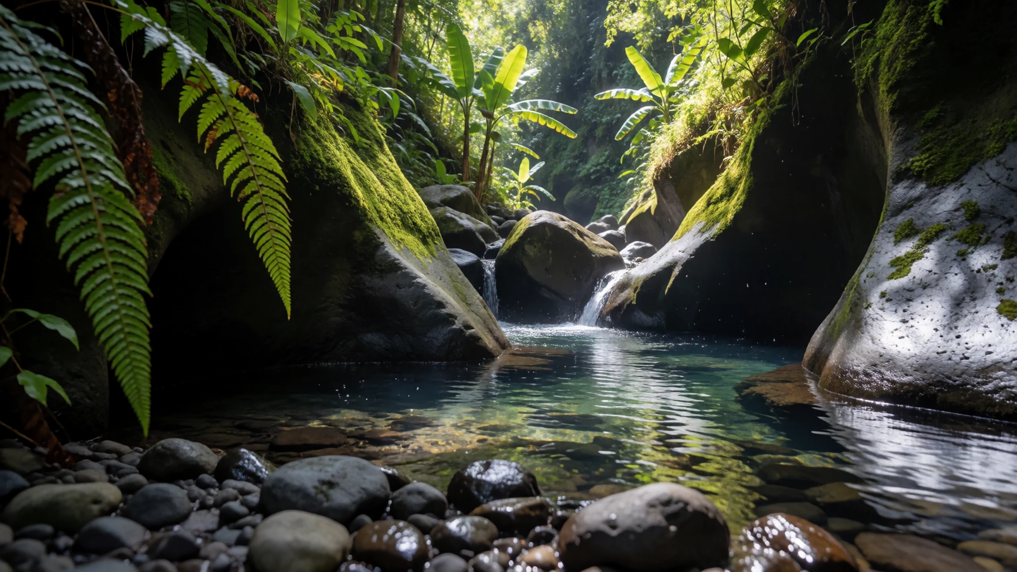
- Coastal watersports and game fishing — the windward beaches and resort islands
Wide, sunny beaches on the windward islands suit kite surfing, windsurfing, diving, jet skiing and game fishing. The wind is the main attraction and the main variable, so check conditions each morning. Boats and equipment are usually arranged through local operators, and the quality of the gear and the safety briefing vary, so ask questions first.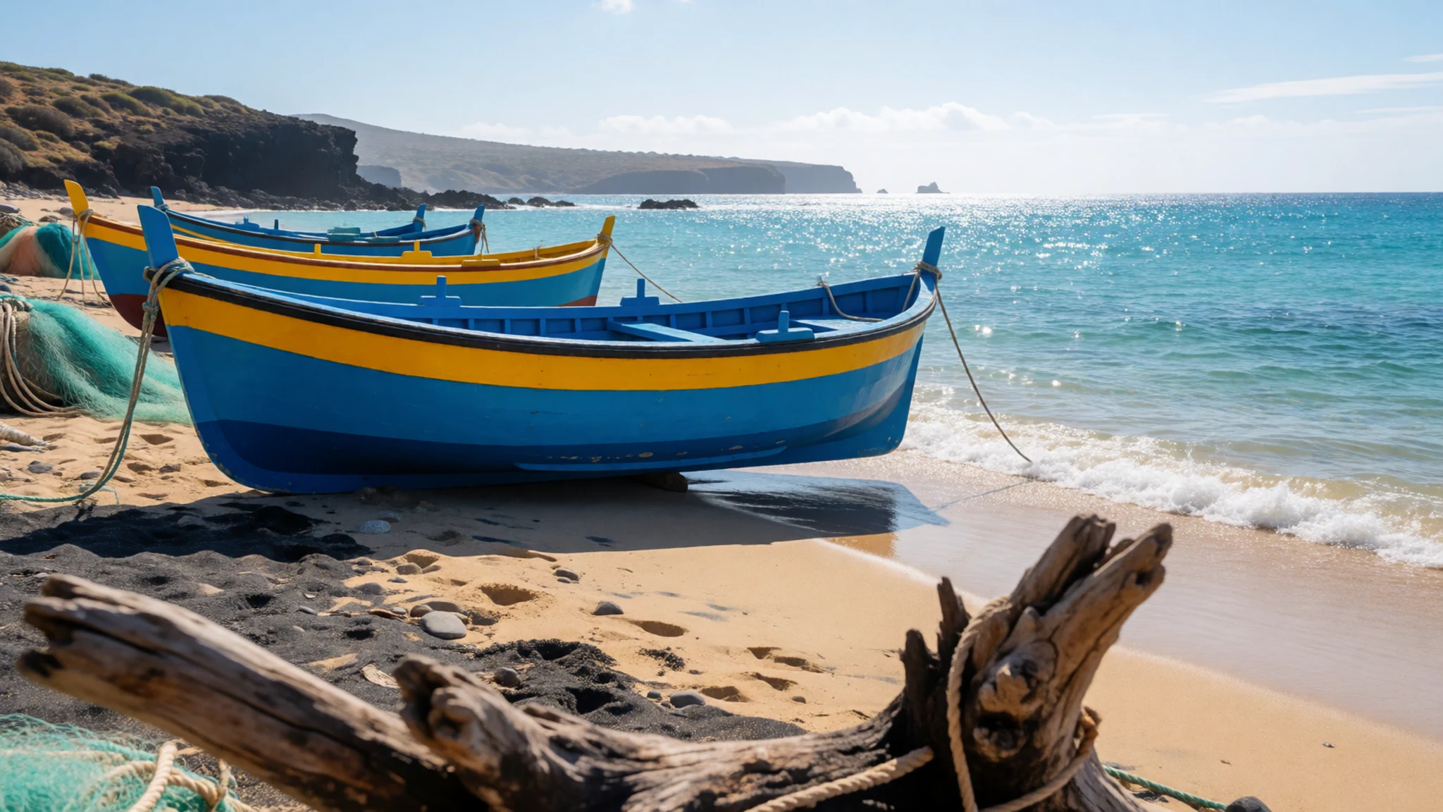
Culture
Cape Verdean life blends African and European elements. The language is Portuguese and the dominant religion is Christian, yet music, dance and the rhythm of everyday life draw on African roots. Football and church activities are the usual meeting points in towns and villages. Late in the afternoon, the traditional walk round the praça, the town square, brings friends and families out to talk, and it is a welcome moment to watch from a café table.
Cafés and bars are social spaces where conversation runs long. Music matters a great deal. Morna, a slow and melancholy song form, and the livelier coladeira are heard at weddings, festivals and in bars. Creole is the everyday language of most islanders, sitting alongside Portuguese, so a few words in either are appreciated.
Television reaches the towns on a handful of channels, one state-owned and others from Portugal and Brazil, which reflects the country's outward-looking history. Many families keep close ties with relatives abroad, a legacy of the emigration that followed the nineteenth-century downturn. Ask before photographing people up close, particularly at church gatherings, and dress modestly when entering a church.
What to wear
Traditional dress in Cape Verde is less visible today than its music and food, and it varies between islands and between town and country life. Older styles tended to use practical cottons and simple cuts, with long skirts, blouses and headcloths for women, while festivals and church occasions bring out brighter colours and more formal layers. Textiles were chosen for heat and durability rather than display, which still shapes what people wear.
What people wear now is much like dress in any warm, sociable town. In Praia and the larger villages, men wear shirts and cotton trousers, women wear light dresses or skirts with blouses, and football shirts appear everywhere. Smart clothes come out for Sunday mass and weddings, when people dress carefully.
For a visitor, the answer is light, breathable clothing for the heat, with cotton or linen favoured over synthetic fabrics. Cover shoulders and knees when entering churches or village chapels, and bring a light layer for windy coasts and cooler mountain evenings. Choose sturdy sandals or walking shoes for rocky volcanic trails and wet valley paths, and pack a swimsuit with a cover-up for beaches away from resorts.
What to eat
- Cachupa — a family kitchen or a simple eatery in Praia's old streets
Cachupa is the national dish, a slow-cooked stew built on maize and potato. Fish or chicken is commonly added for flavour, and it is a filling, everyday meal rather than a special occasion dish. Many small eateries serve it at lunch, and home cooks take pride in their own version.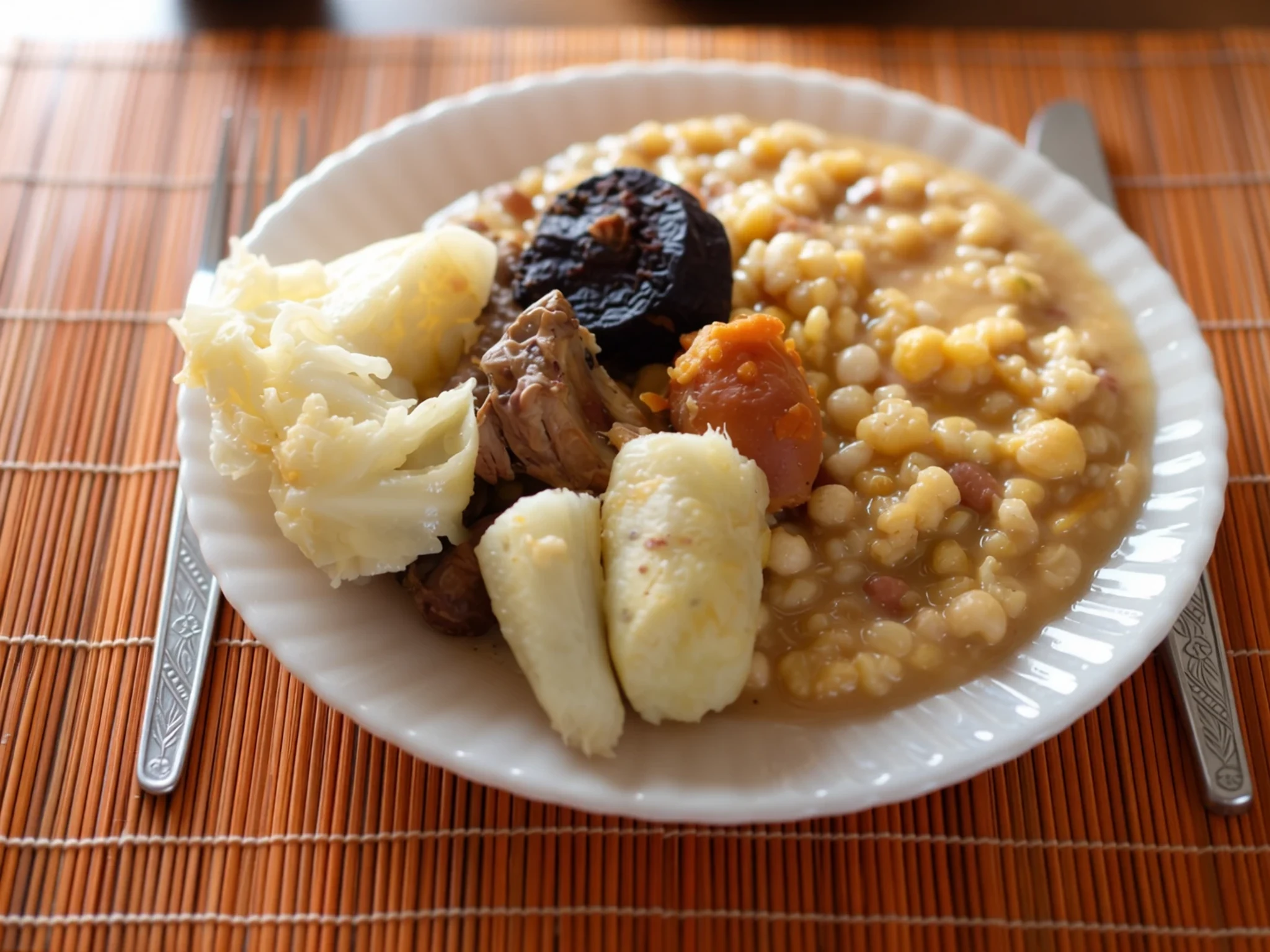
- Lagostada — seafood restaurants along the coast and harbour front
Lagostada is a lobster dish, prepared with the simple seasoning that suits fresh seafood. It is a treat more than a daily meal and is best ordered where the catch is landed locally. Ask what came in that morning, since the choice changes with the boats.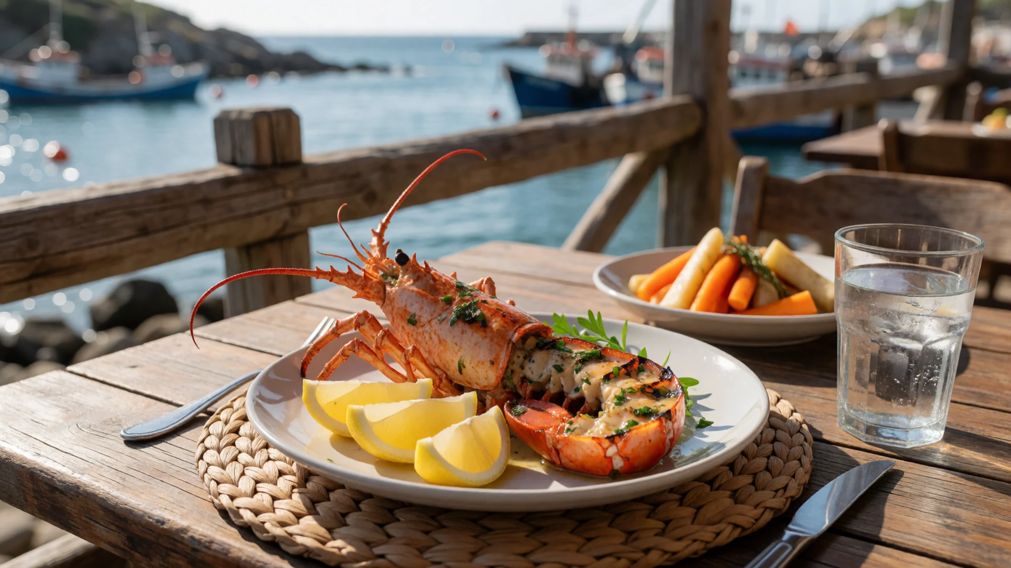
- Grilled tuna and wahoo — harbour-side grills and morning fish stalls
Tuna is common, and wahoo is a white-fleshed fish with a similar texture, both usually grilled simply. The fish is at its best when it is cooked the same day it is caught. Harbour grills and fish stalls are the places to find it fresh and at its most reasonable. - Tosta mista — any café or snack bar, especially for breakfast
Tosta mista is a toasted ham and cheese sandwich, found in most cafés across the islands. It is an easy, filling snack for the morning or an afternoon pause. It also suits vegetarians if they ask for the cheese version without the ham.
Plan it
Best time. March to May is the drier, more comfortable stretch, with the trade winds easing the heat for much of the year. The later months bring the strongest winds on some coasts, while the hottest, most humid weather tends to come later in the year. The climate figures in the brief are limited, so check current conditions for the islands you plan to visit.
How long. 4–6
Getting there. Amílcar Cabral International Airport on Sal and Nelson Mandela International Airport in Praia on Santiago are the main entry points, with Aristides Pereira International Airport on Boa Vista and Cesária Évora Airport on São Vicente also serving international routes. Connections between islands are by domestic flight or ferry, so check schedules before you plan a multi-island route.
Budget. mid
Tips
- Pre-register on the government's EASE site before you travel to move faster through automated passport control at some airports
- Book inter-island transport early for the busiest months and leave slack in your itinerary
- Carry cash for small eateries, markets and island operators, and keep card payment as a backup
- Treat tap water with care, because storage on roofs and in containers can affect quality, and buy bottled water for drinking
- Start walks and canyoning early to avoid the heat and the afternoon wind
Etiquette
- Ask before photographing people, especially at church gatherings
- Cover shoulders and knees when entering churches
- Greet people politely before asking for directions or service
Nearby
Sources
- Wikidata Q1011 (CC0)
- Wikipedia: Cape Verde (rev 1382443790) (CC BY-SA 4.0)
- Wikivoyage: Cape Verde (rev 5396160) (CC BY-SA 4.0)
- Satellite image of Cape Verde, December 2002 (NASA Visible Earth) (Public domain)
- Insulae Capitis viridis, 1598 (Barent Langenes) (Public domain)
- Garthpool ex Jutepolis (Allan C. Green) (Public domain)
- Jorge Carlos Fonseca with the Obamas, 2014 (U.S. Department of State) (Public domain)
- Justizpalast Praia (Balou46) (CC BY-SA 4.0)
- Cape Verdean embassies map (Karrath) (CC BY 3.0)
- Marins du Cap-Vert en 2011 (Petty Officer 1st Class Darryl Wood) (Public domain)
- Cape Verde satellite view, 250 m per pixel (Terra, NASA) (Public domain)


