Cape Breton
Cape Breton, Canada
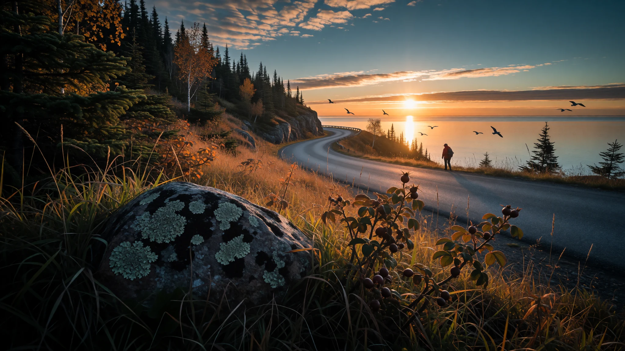
Cape Breton offers a coastal highland loop, living Gaelic and fiddle traditions, and a calm inland sea, all within one Nova Scotia island.
The place
Cape Breton is an island forming the northeastern end of Nova Scotia, Canada, with about 132,000 people living on it. A causeway across the Strait of Canso links it to the mainland, so most visitors arrive by road without feeling they have crossed water at all. The shape is ragged. The northern and western shores face the Gulf of Saint Lawrence, the east and south face the open Atlantic, and the land tilts upward towards the northern highlands, where the listed elevation reaches 532 m. In the middle sits the Bras d'Or, an inland sea of salt water whose name is French for "golden arm". It gives the interior a calm, lake-like feel quite unlike the outer coast. Towns are small and far apart. Chéticamp, Baddeck and Sydney work as the practical bases for groceries, fuel and beds, while the villages around the Cabot Trail live on views, walking and music. Distances look short on a map and are not, because the road twists, climbs and slows for lookouts, so a day covers less ground than planned. Weather changes quickly, sea fog is common, and winter driving in the highlands can turn serious. The island suits people who want trails, scenery and live fiddle tunes more than nightlife or beach lounging, and who accept that shops and mobile signal thin out in the north.
Its story
Cape Breton's human story begins with the Mi'kmaq, whose ancestors lived on the island, which they call Unama'ki, for thousands of years before any European ship appeared. They still live there. Their way of life rested on fishing and hunting, since farming is hard in this climate, and the coast meant they were among the first people in the region to meet European fishermen working nearby waters. Tradition places John Cabot, an Italian sailing for England, on these shores in the late fifteenth century, though the maps and records of that age are too vague to show whether he landed here or in Newfoundland. The Cabot Trail and a provincial park near Dingwall keep the claim alive. By the early sixteenth century the Mi'kmaq were trading with visiting fishermen, and a Portuguese expedition under João Álvares Fagundes is said to have founded a fishing settlement. Later came French fortifications around Louisbourg, remembered in an old engraving of a French warship burning during an eighteenth-century siege. After that came Gaelic speakers from the Scottish Highlands and Hebrides, who crossed in tens of thousands between the later eighteenth and early nineteenth centuries. Many had been pushed out by rent rises and evictions, the process known as the Highland Clearances. They carried songs, poems and dance tunes that survived here long after fading in parts of Scotland. Industrial towns such as Glace Bay drew still more newcomers, including a Jewish congregation whose former synagogue still stands.
What to see
- The Cabot Trail — Northern highlands loop
The Cabot Trail is a looping road around the northern highlands, and it is the island's main draw. Short walking trails start from many of its lookouts. Expect to stop often, because the views slow everyone down. Two days in the villages along the route is a sensible minimum, and three is kinder.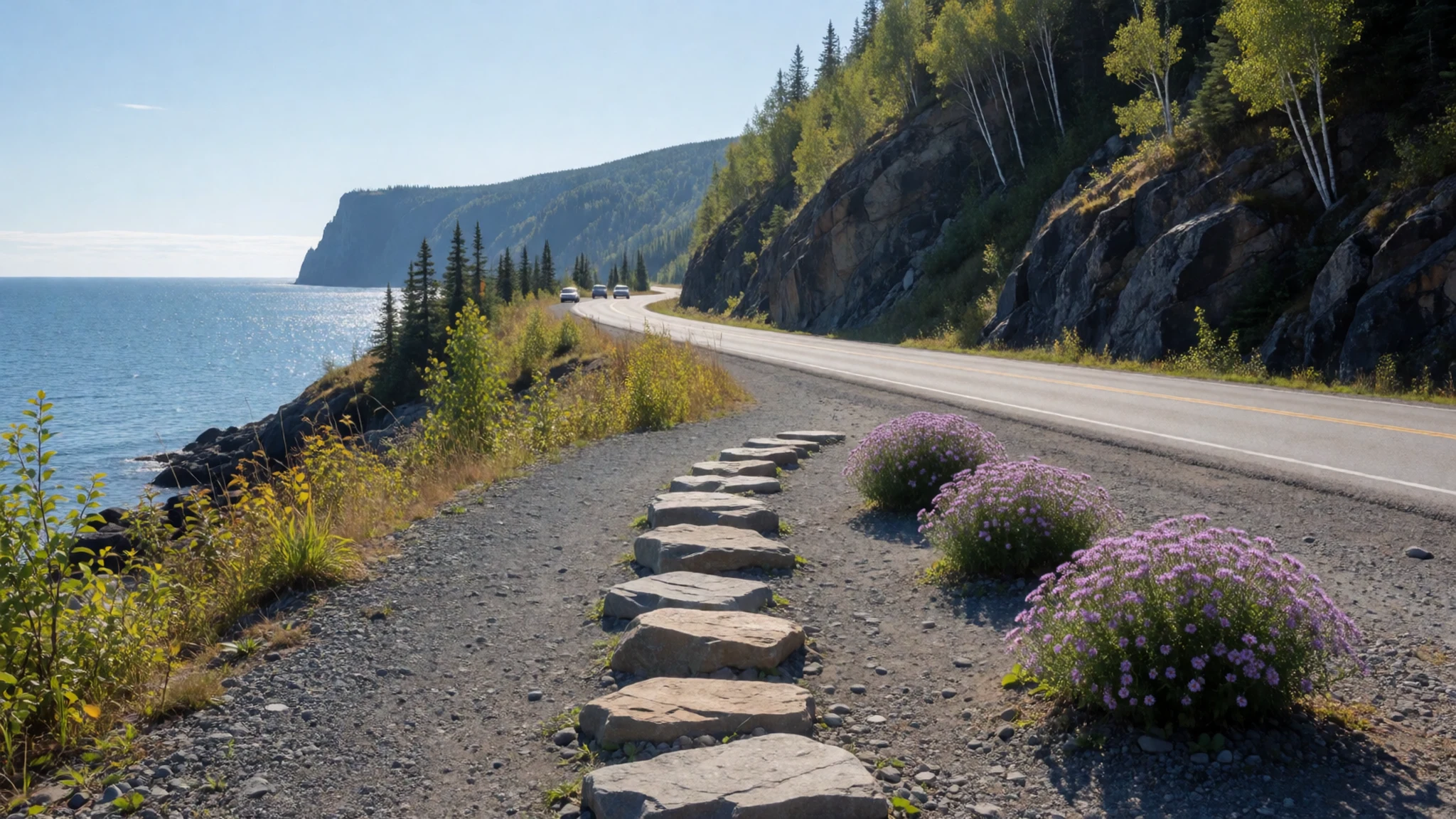
- Cape Breton Highlands National Park — Northern tip, between Ingonish and Chéticamp
The national park covers much of the northern headland, and the Cabot Trail cuts through it. Walks range from short coastal strolls to longer climbs onto the plateau. Bears and coyotes live here, so read the signs at each trailhead and follow the advice about meeting them.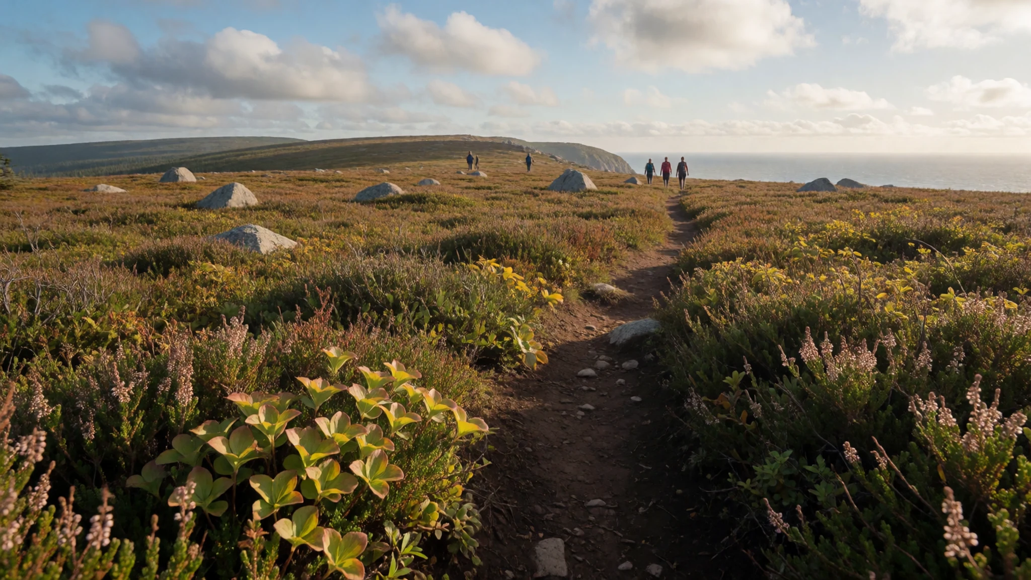
- Bras d'Or — Island interior, around Baddeck
The Bras d'Or is the saltwater inland sea at the centre of the island. Baddeck, on its shore, is a handy place for supplies, a lakeside stroll or a boat outing. The water is sheltered and quiet, a good contrast after a day of switchbacks on the northern highlands.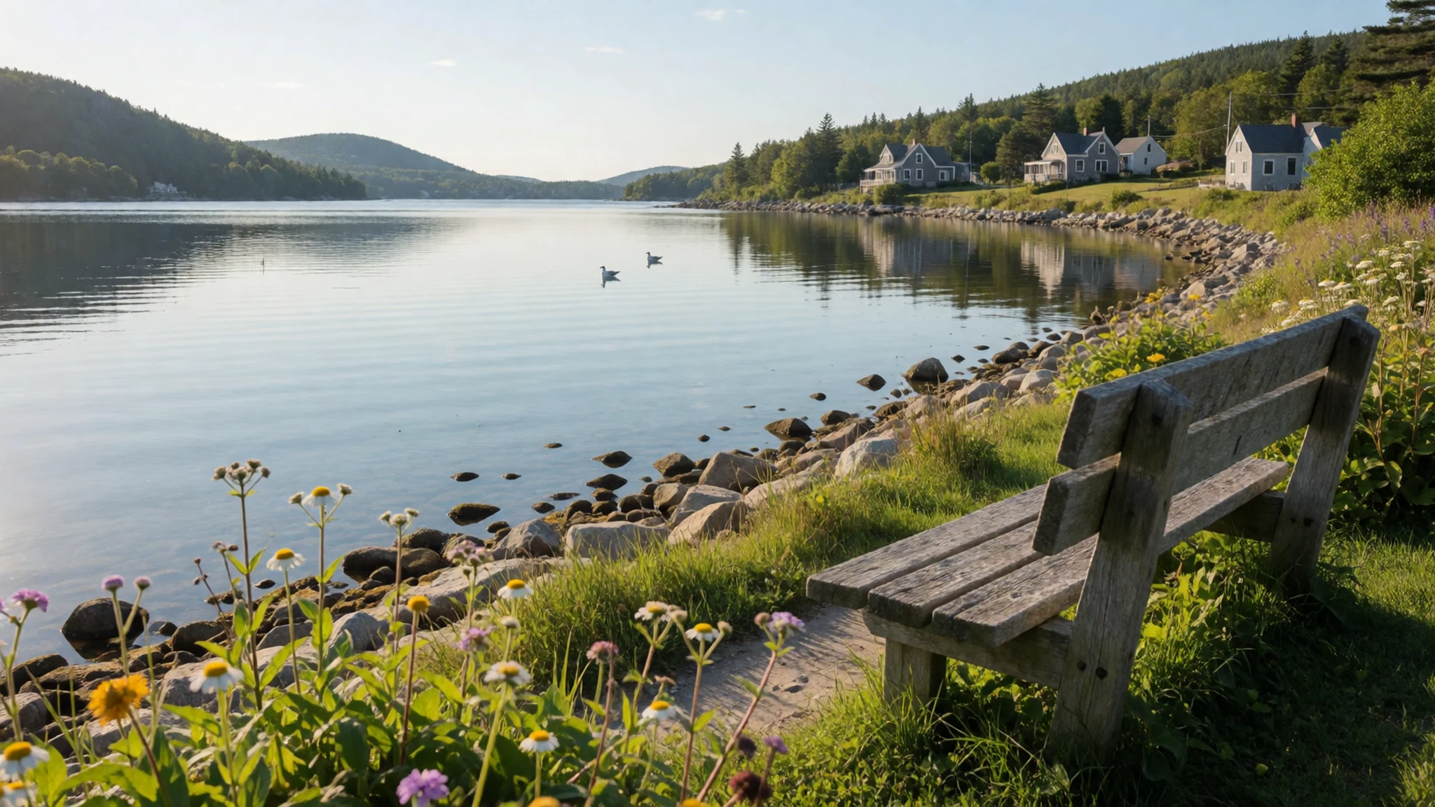
- Community fiddle music — Judique, Margaree Valley and Chéticamp
Scottish-rooted violin and piano music is a living tradition here, played at community halls across the island. Judique, the Margaree Valley and Chéticamp are among the important centres. Early-evening concerts are easy to find and well advertised, while later sessions tend to draw mostly locals.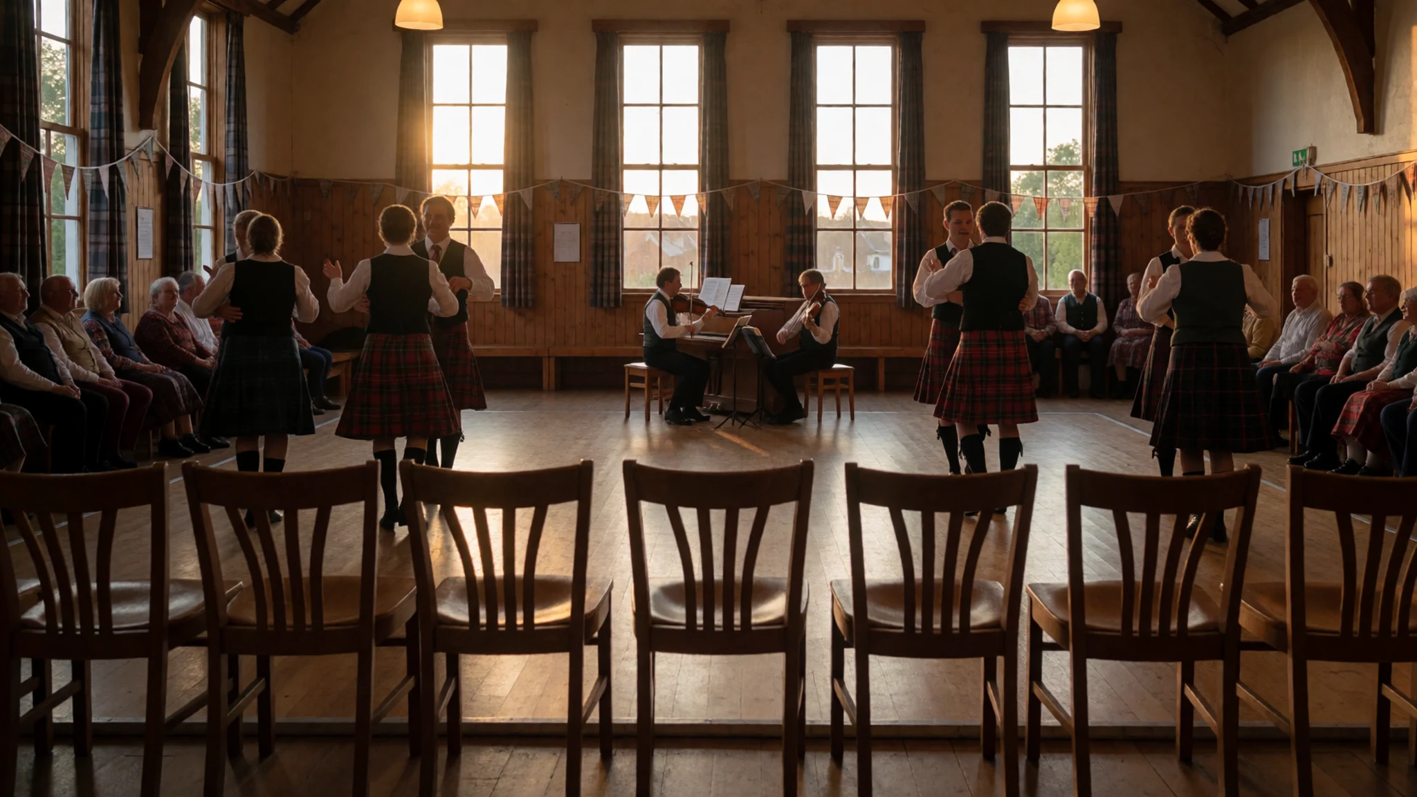
- Cabot's Landing Historic Site and Provincial Park — Near Dingwall, north coast
This small coastal park near Dingwall commemorates the traditional belief that John Cabot first reached the island here. Historians cannot confirm it, which makes the place more interesting. Come for the shoreline, a quiet picnic and a sense of how exposed this northern edge of the island feels.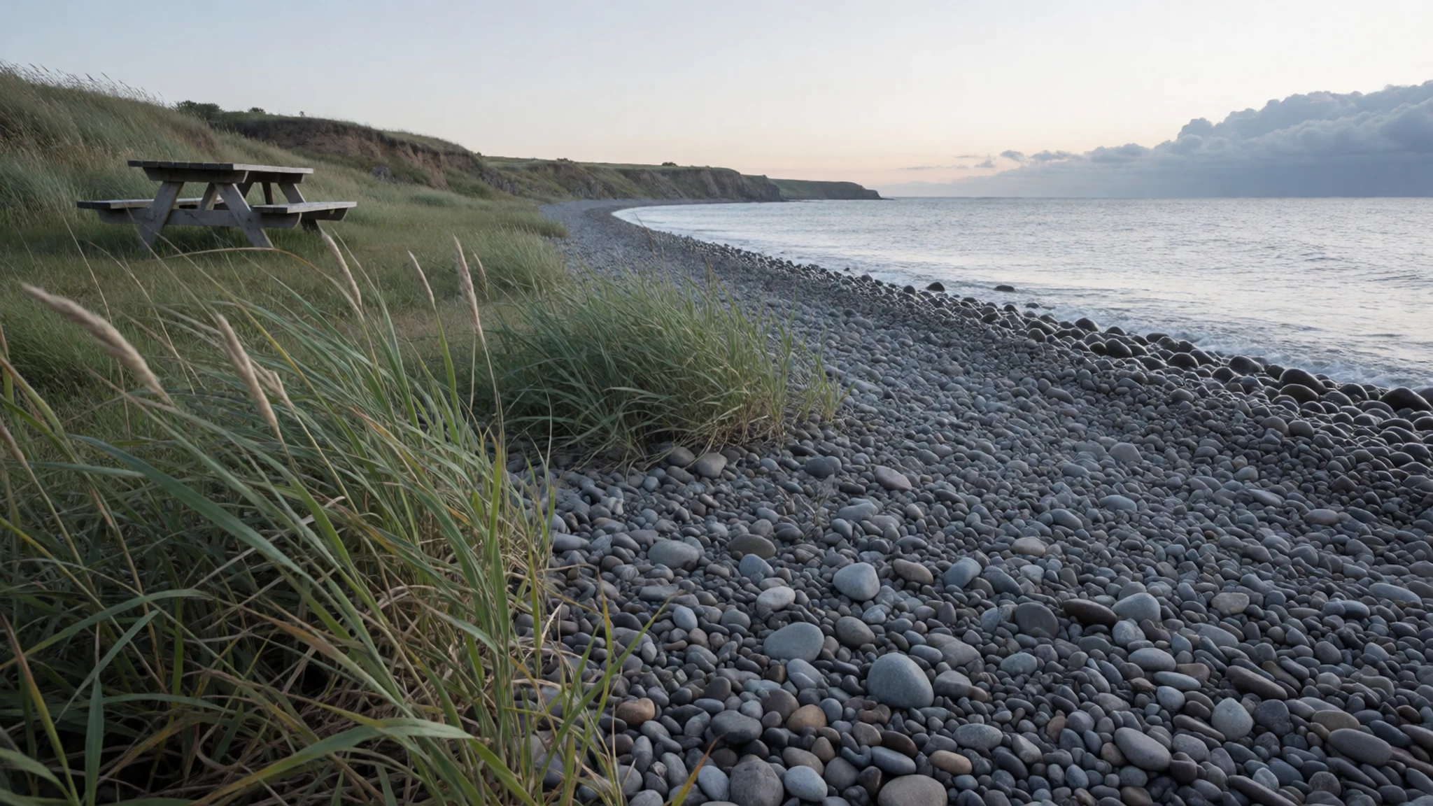
- Former synagogue, Glace Bay — Glace Bay, east coast
In Glace Bay, the former Congregation Sons of Israel synagogue is a reminder that the island's settlers came from more places than the Scottish Highlands. It is a quiet stop in an industrial-era town, best combined with a wander through the surrounding streets and a look at the harbour.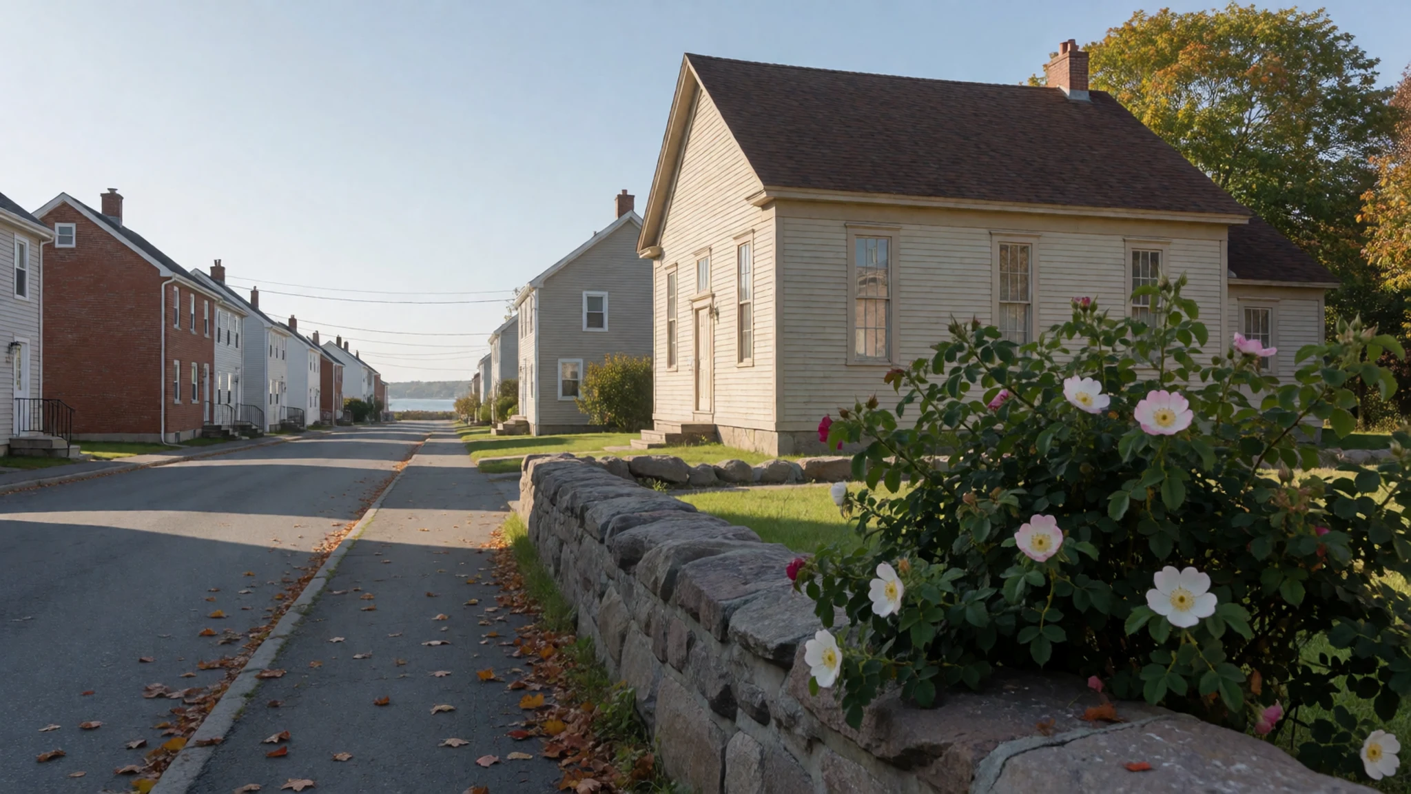
Culture
Cape Breton's culture rests on two long-rooted peoples. The Mi'kmaq have lived on Unama'ki for thousands of years, and Gaelic-speaking settlers from the Scottish Highlands and Hebrides began arriving in numbers in the later eighteenth century. Many of the settlers were forced out by rising rents and evictions, and they brought poetry, songs, tales, tunes and dances that took root in the island's relative isolation. The result is a local tradition of fiddle and piano dance music that draws visitors from Scotland who come to hear their own past played back to them. Gaelic song and storytelling also survived here, and Gaelic is still taught and celebrated in parts of the island. Community halls are the heart of it: a duo of fiddle and piano plays hearty dance tunes, and evening ceilidhs fill with neighbours rather than tourists. Fishing and farming shaped everyday life, and much of the island still runs on small communities that know each other well. Mi'kmaq culture is present in place names, craft, language and events, and it is worth seeking out through Indigenous-led programmes rather than assuming it belongs only to the past. Cape Breton is also home to Acadian communities, notably around Chéticamp, where French is heard in shops and cafés. At a community hall dance or ceilidh, listen quietly while the tunes are played and ask before filming musicians or dancers.
What to wear
Cape Breton's traditional dress follows its settlers. Gaelic and Scottish heritage shows up in tartan: woollen kilts, plaids, sashes and ties in clan or district patterns, worn at concerts, Highland-style gatherings, weddings and dance events rather than on ordinary days. Mi'kmaq regalia, with beadwork, ribbonwork and hand-sewn garments, is worn at ceremonies and powwows, and it carries cultural meaning that makes it more than costume. Everyday wear on the island is practical and unfussy. Locals favour fleeces, waterproof jackets, jeans, work boots, wool socks and caps, the kind of kit that copes with wind and wet. Fishermen, farmers and trail guides dress for the weather first and for appearances second. Visitors should do the same. Pack layers, even in summer, because the coast can be cool and foggy while the interior is warm. A waterproof shell matters more than an umbrella, which wind will wreck. Sturdy shoes or light boots with good grip suit the lookout trails, and a sun hat and insect repellent are worth carrying in warm months. Winter visitors need proper insulated boots, gloves and a hat. No religious sites require special cover-ups, and churches and halls welcome ordinary neat clothes. For a dance night, a clean shirt and comfortable shoes are plenty.
What to eat
- Lobster — Fishing harbours and community suppers
Lobster is the dish most visitors come for. It is usually served boiled, with melted butter, at harbour-side eateries and community suppers in fishing villages. Look for places close to a wharf, where the catch has travelled the shortest distance.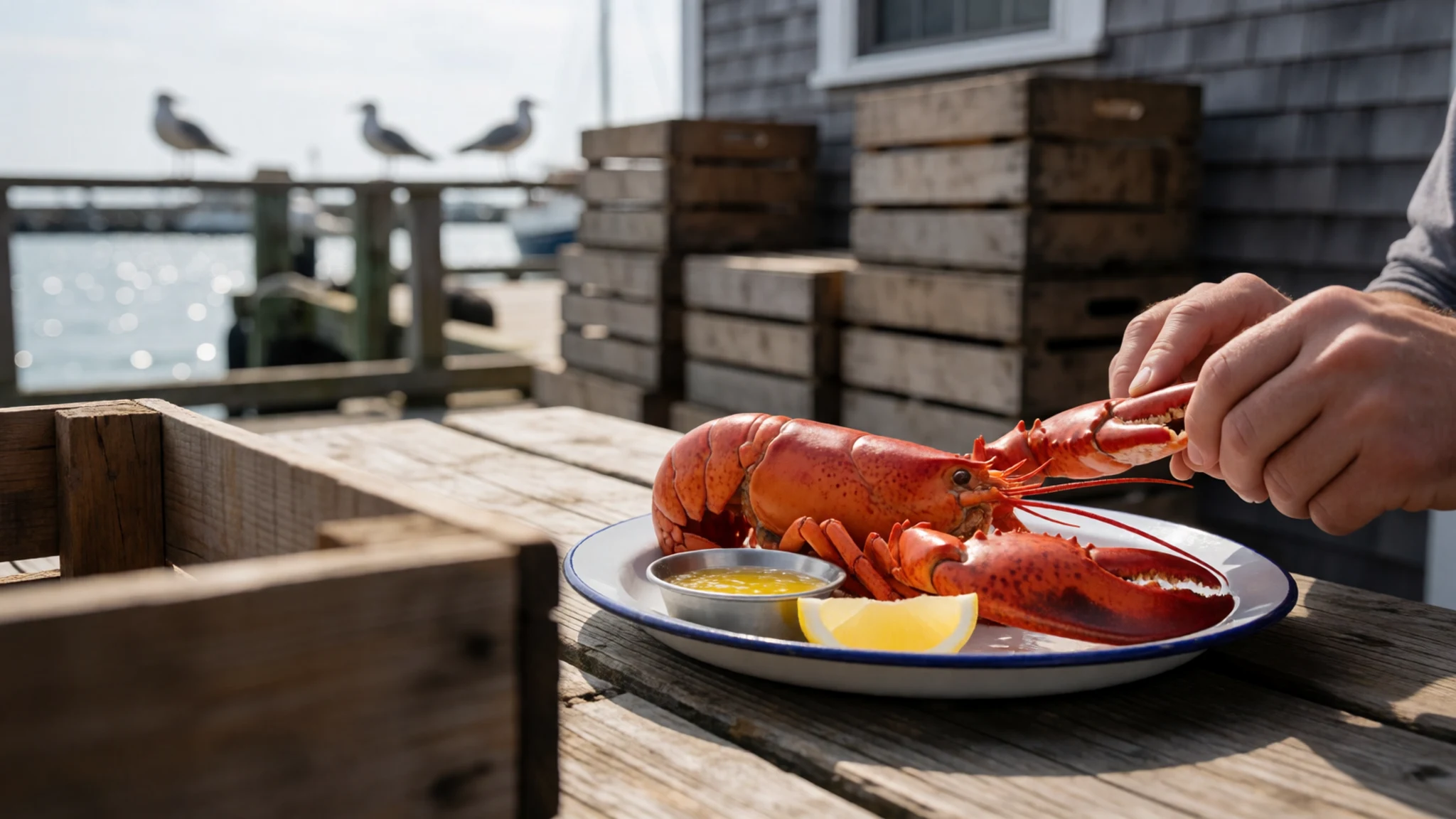
- Seafood chowder — Village bakeries and cafés, such as around Chéticamp and Baddeck
A creamy chowder of fish and shellfish is a reliable lunch on the road, often served with fresh bread. Bakery-cafés in the larger villages are good places to try it, and it makes a warming stop after a windy lookout.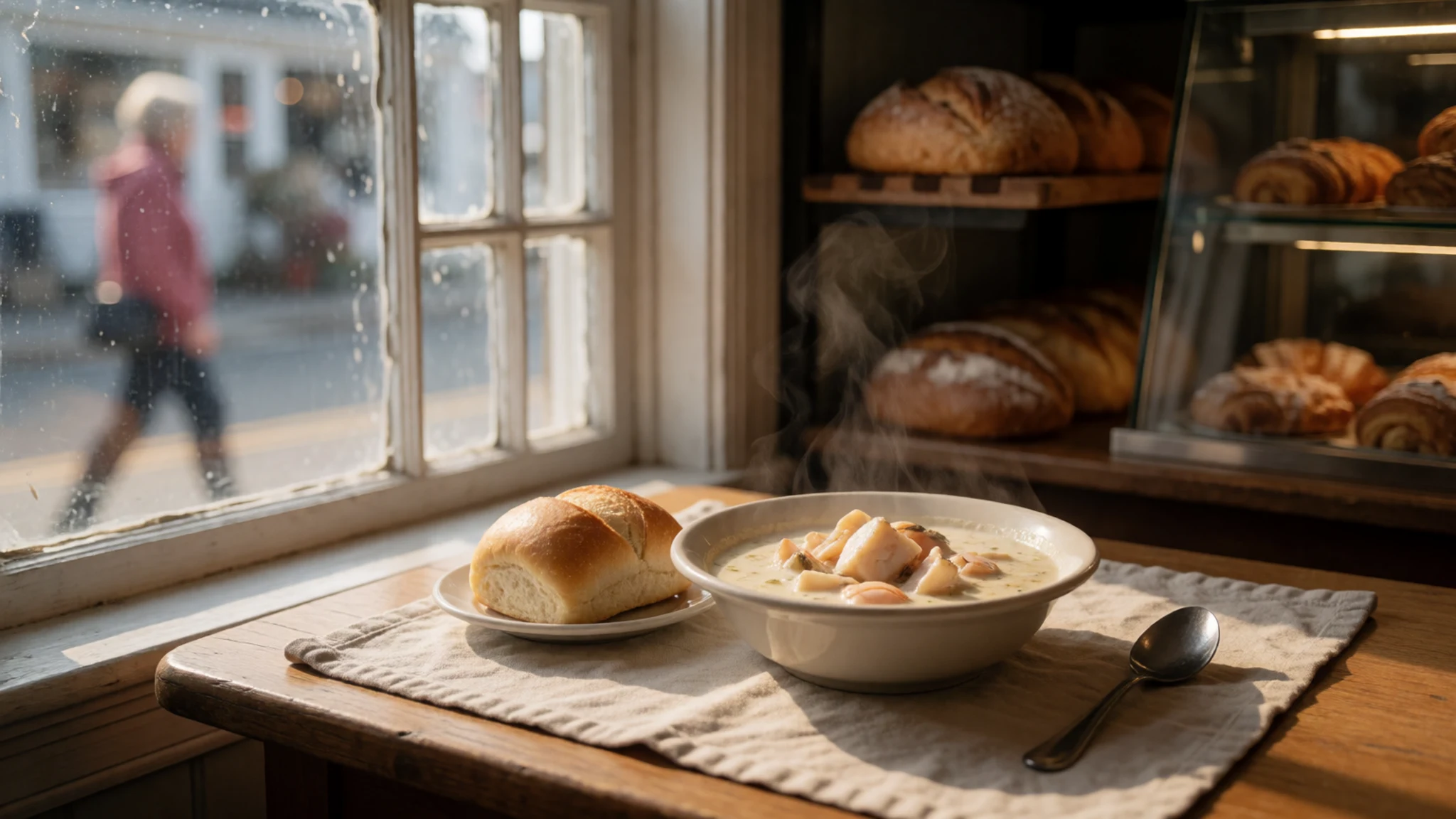
- Aspy Bay oysters — Northern coast near Aspy Bay
Oysters from Aspy Bay are praised by locals and visitors alike. They are best eaten close to where they are raised, so ask at eateries along the northern shore. Expect them plain, with lemon, and eat them fresh. - Pizza burger — Convenience stores and petrol stations
This local oddity replaces the beef patty with pepperoni, mozzarella and tomato sauce inside a bun. It is sold chilled in convenience stores and petrol stations, then warmed briefly in a microwave. It is a cheap, quirky road snack. - Oatcakes — Bakeries and village shops
Oatcakes are a simple baked biscuit that reflect the island's Scottish roots. Bakeries and village shops sell them, and they travel well in a bag. They pair easily with tea after a long walk, or with cheese on a picnic.
Plan it
Best time. July–August for the warmest weather and the busiest roads; late September to mid October for autumn colour and quieter lodgings. Weather can change fast, and winter driving in the highlands is risky.
How long. 3–4
Getting there. Sydney Airport (YQY) is on the island. Otherwise fly to Halifax and take a shuttle to Sydney, or drive. Maritime Bus runs between Truro and Sydney. By road, the Trans-Canada Highway reaches the island over the Canso Causeway, and the Cabot Trail needs a car for the last leg.
Budget. mid
Tips
- Allow extra time on the Cabot Trail, since lookouts and trailheads slow the drive
- Buy groceries in larger centres such as Chéticamp and Baddeck, because small stores can be thinly stocked
- Read the bear and coyote notices at trailheads and follow them
- Book lodging early for July and August, and check the official park and tourism sites for current opening details
- Carry a warm layer and a waterproof jacket, as fog and wind arrive quickly
Etiquette
- Stay quiet during live music at halls and ceilidhs, and ask before filming performers
- Follow trailhead rules on wildlife and take your litter with you
- Ask before photographing people, especially at Indigenous events
Nearby
Sources
- Wikidata Q188489 (CC0)
- Wikipedia: Cape Breton Island (rev 1379877656) (CC BY-SA 4.0)
- Wikivoyage: Cape Breton Island (rev 5396866) (CC BY-SA 4.0)
- Photo: Cape Breton Island, Nova Scotia (Aconcagua) (CC BY 3.0)
- Photo: Cape Breton Island (NASA) (Public domain)
- Photo: Destruction du vaisseau le Prudent et capture du Bienfaisant à Louisbourg (Public domain)
- Photo: The Departure of S.W. Prentice and Five Others from their Shipwrecked Companions (Public domain)
- Photo: Orangemen War Memorial, Wentworth Park, Sydney (Ken Heaton) (CC BY-SA 4.0)
- Photo: Cape Breton Island (Klaus M.) (CC BY-SA 2.5)
- Photo: Cape Breton Island map (SHB2000) (CC BY-SA 4.0)
- Photo: Glace Bay Shul (Abebenjoe) (CC BY 3.0)


