Cañón del Sumidero
Cañón del Sumidero, Mexico
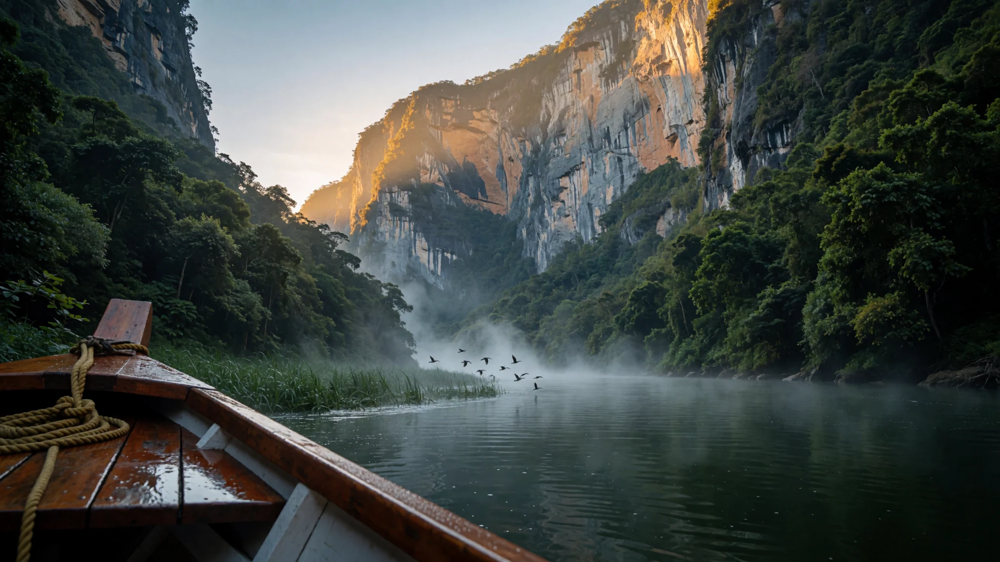
A deep Chiapas canyon where a river boat carries you between cliffs rising up to 1,000 metres.
The place
Cañón del Sumidero sits just north of Chiapa de Corzo, a small town in the southern Mexican state of Chiapas, and it is the reason most visitors come to this part of the state. The Grijalva River runs through the canyon, and its walls rise as high as 1,000 metres on either side. The water twists sharply along a narrow passage of about 13 kilometres, so from a boat the view keeps changing: a grey cliff ahead, a hard turn, then another wall of rock rising straight out of the river.
The canyon lies inside Sumidero Canyon National Park, a protected area that covers land in four municipalities. Most of it is low to medium deciduous rainforest, with patches of pine-oak woodland and grassland on higher ground. At the northern end, the Chicoasén Dam holds back a reservoir on the Grijalva, and that water serves both for storage and for generating hydroelectric power across the region.
Tourism here is mostly domestic. Boats leave from Chiapa de Corzo, and most of the people on them are Mexican visitors rather than international travellers. Tuxtla Gutiérrez, the state's largest city, borders the park, and its fast growth has pushed settlement onto park land. Land disputes, lost habitat and deforestation follow, and pollution in the Grijalva is the park's most serious conservation concern. Think of the canyon as a working landscape next to a busy city, not a wilderness sealed off from it.
Its story
Long before Spanish ships reached the coast, the Chiapa people lived in the central valley around what is now Chiapa de Corzo, the town at the canyon's edge. Their origins are uncertain, and scholars have suggested migrations from places as far apart as Nicaragua and Paraguay. They built a main settlement by the river and a fortified site higher up the canyon, a place to retreat to when attacks came.
The Chiapa resisted conquest hard. When Spanish forces under Diego de Mazariegos took control of the valley, the last defenders withdrew to that high fortress, today the archaeological site known as the Ruins of Berlin. They held out there for years after the main city had fallen. When the fortress was finally overrun, a legend holds that the surviving defenders leapt into the canyon rather than surrender. Historians treat the story with caution, but it still colours how people talk about the gorge.
Afterwards the canyon became a marker between the Zoque and Tzotzil peoples. For a long time it stayed largely unexplored. Outsiders who tried to navigate the river often lost their lives there, and rumours of witchcraft and fierce crocodiles grew around those deaths. The canyon was not crossed by boat in full until a Mexican army expedition, nicknamed the red handkerchiefs, made the journey.
What to see
- The river and the walls — Grijalva River, north of Chiapa de Corzo
Ride the river between the walls. Cliffs rise as high as 1,000 metres on either side, and the Grijalva turns sharply several times, so the view changes almost constantly. Find a spot with a clear view of the rock and keep your camera ready. Bring a hat and water, because the open river offers little shade and the trip lasts about two hours.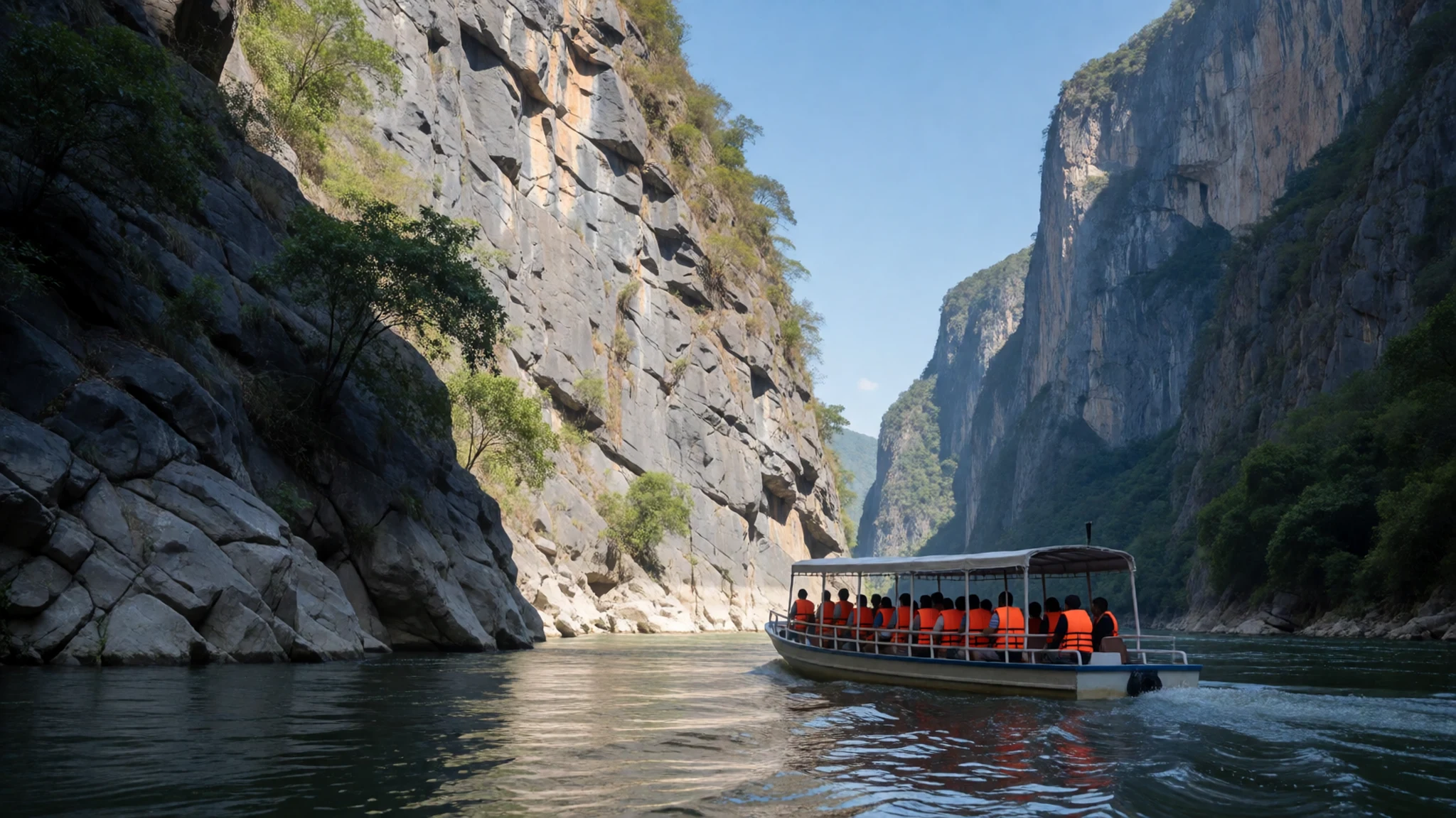
- The Seahorse — Inside the canyon, on the river
Look for the Seahorse. This rock formation, named for its outline, is one of the features boatmen point out as the river passes. The shape is easiest to read from the water, so keep your camera ready rather than waiting until the far end. It is easy to miss, so ask the driver to point it out.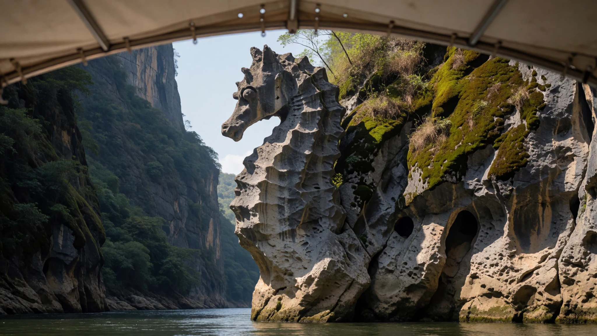
- Crocodiles and spider monkeys — The river and forested banks of the canyon
Keep an eye on the banks. Boat tours can often find crocodiles along the water's edge and spider monkeys in the trees above, though nothing is guaranteed on a given trip. Sightings depend on the season, the water and the time of day, so treat them as a bonus rather than the reason you book. Keep hands and arms inside the boat at all times.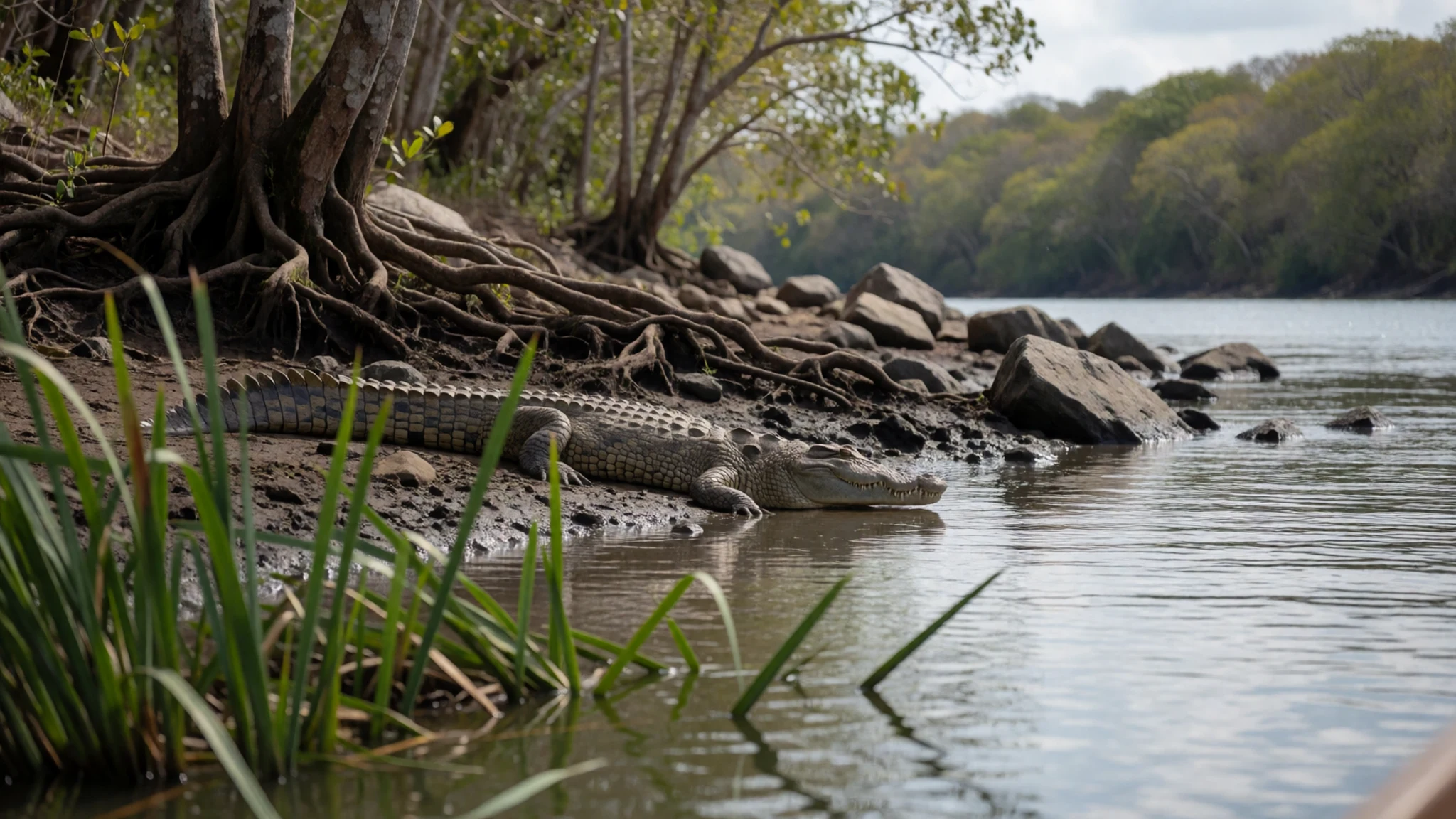
- The scenic overlooks — Northern outskirts of Tuxtla Gutiérrez
Drive up to the miradores. These scenic overlooks above the canyon are reached by car from the northern edge of Tuxtla, and they give the wide view the boat cannot. Several have marked short trails for a stroll. Check opening days before you go, because the lookouts are closed on Tuesdays.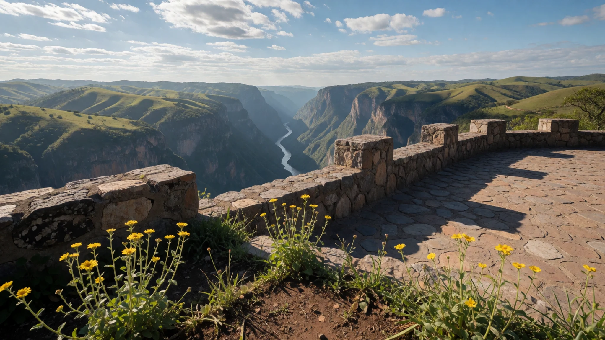
- The cave with a shrine — Within the canyon, reached by boat
Visit the Cueva de los Colores, a cave within the canyon that holds a shrine inside. It is a place of devotion, so the shrine is best seen quietly and briefly. Ask your operator whether the cave is included on your trip before you pay for a boat, since plans differ between tours.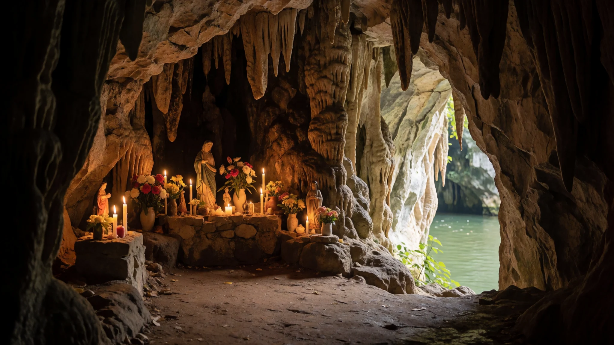
Culture
Cañón del Sumidero is a protected national park, and most visitors come by boat from Chiapa de Corzo, a town with its own unhurried pace. The people who run the boats and guide the hiking trips are local, and they know the river well. A greeting and a few questions go a long way with them.
Tuxtla Gutiérrez and the communities around the park are home to families who have lived near the canyon for generations, and some of the land on the park's edge is contested. Treat the settlements you pass with respect. Avoid photographing people's homes or children without asking, and do not walk onto private land on the way to a viewpoint.
The shrine inside the Cueva de los Colores is a place of devotion, so keep voices low, dress modestly, and leave offerings and objects where you find them. Pick up litter and take nothing from the river or forest, including stones and plants. Keep your life vest on for the whole boat trip, and do not stand up or lean over the side of the boat.
What to wear
The Zoque and Tzotzil peoples whose lands lie near the canyon have long made traditional dress from woven cloth. Women's blouses, called huipiles, are often embroidered with flowers and animals in bright thread, and they are woven on backstrap looms from cotton. Men's clothing has traditionally been simpler, with plain white or dark cotton garments. Designs vary from village to village, so a huipil's pattern can tell you where its maker lives.
Most people in and around Tuxtla Gutiérrez and Chiapa de Corzo now wear ordinary Western clothing for work and school, keeping traditional dress for festivals, ceremonies and market days. Jeans, T-shirts and trainers are common, and it is normal to see a woman in a tailored blouse on a weekday.
As a visitor, dress for heat and sun first. Light cotton or linen, a wide-brimmed hat and sunscreen will serve you well on the open boat, which has little shade. Closed shoes or sandals with a strap suit the rocky paths at the miradores. For shrines and church interiors, cover your shoulders and knees.
What to eat
- Pozol — Market stalls in Tuxtla Gutiérrez
A cold drink made from fermented maize dough stirred into water, sometimes with cacao or sugar added. It is a traditional staple across Chiapas and sold widely from stalls. Ask for it plain if you are new to it, and try it from a market stall rather than a sealed bottle.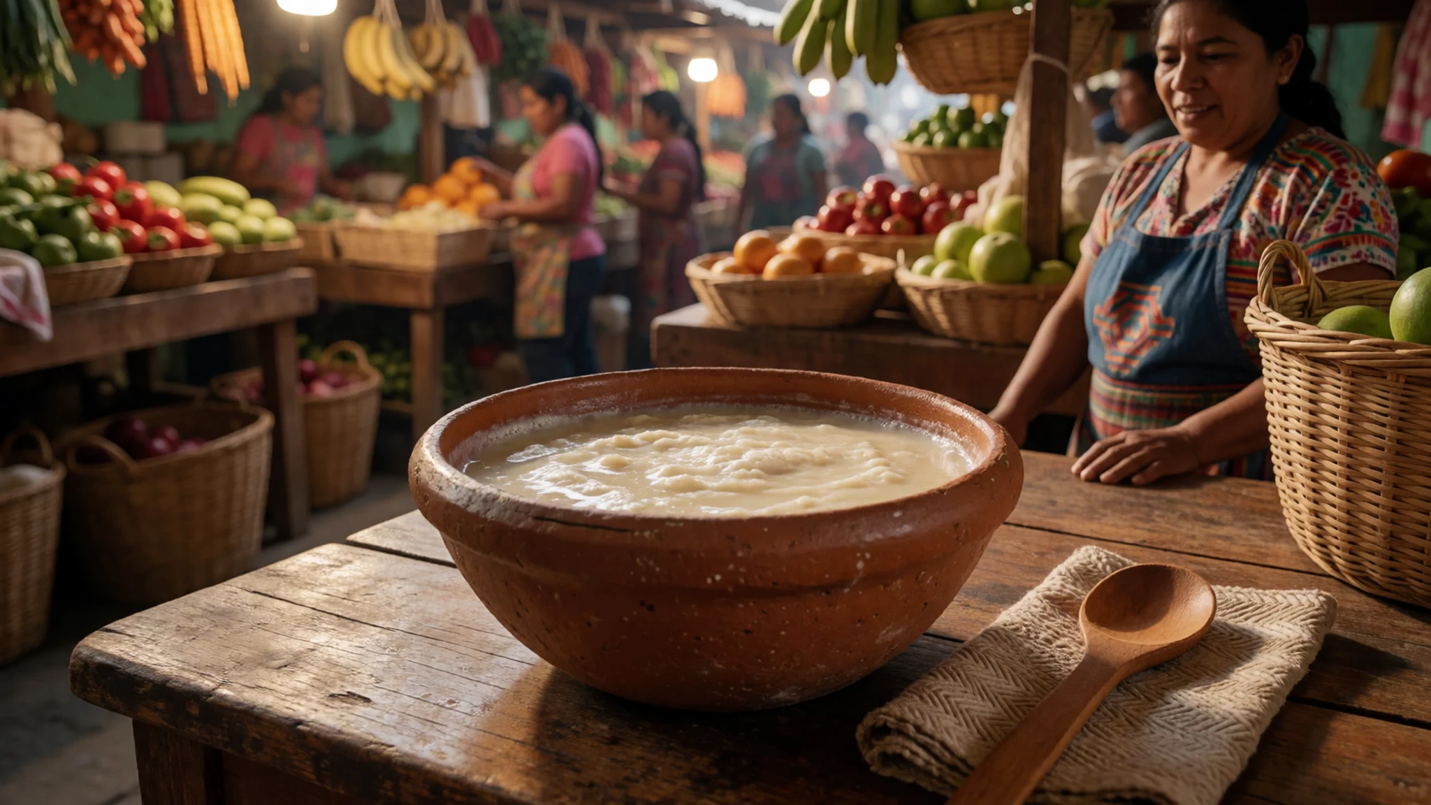
- Tamales — The morning market in Tuxtla Gutiérrez, or stalls near the square in Chiapa de Corzo
Maize dough wrapped around fillings and steamed in leaves, then opened at the table. Sold in the morning by vendors with heated baskets. Eat them hot, and choose a stall that is busy with locals, which usually means the batch is fresh.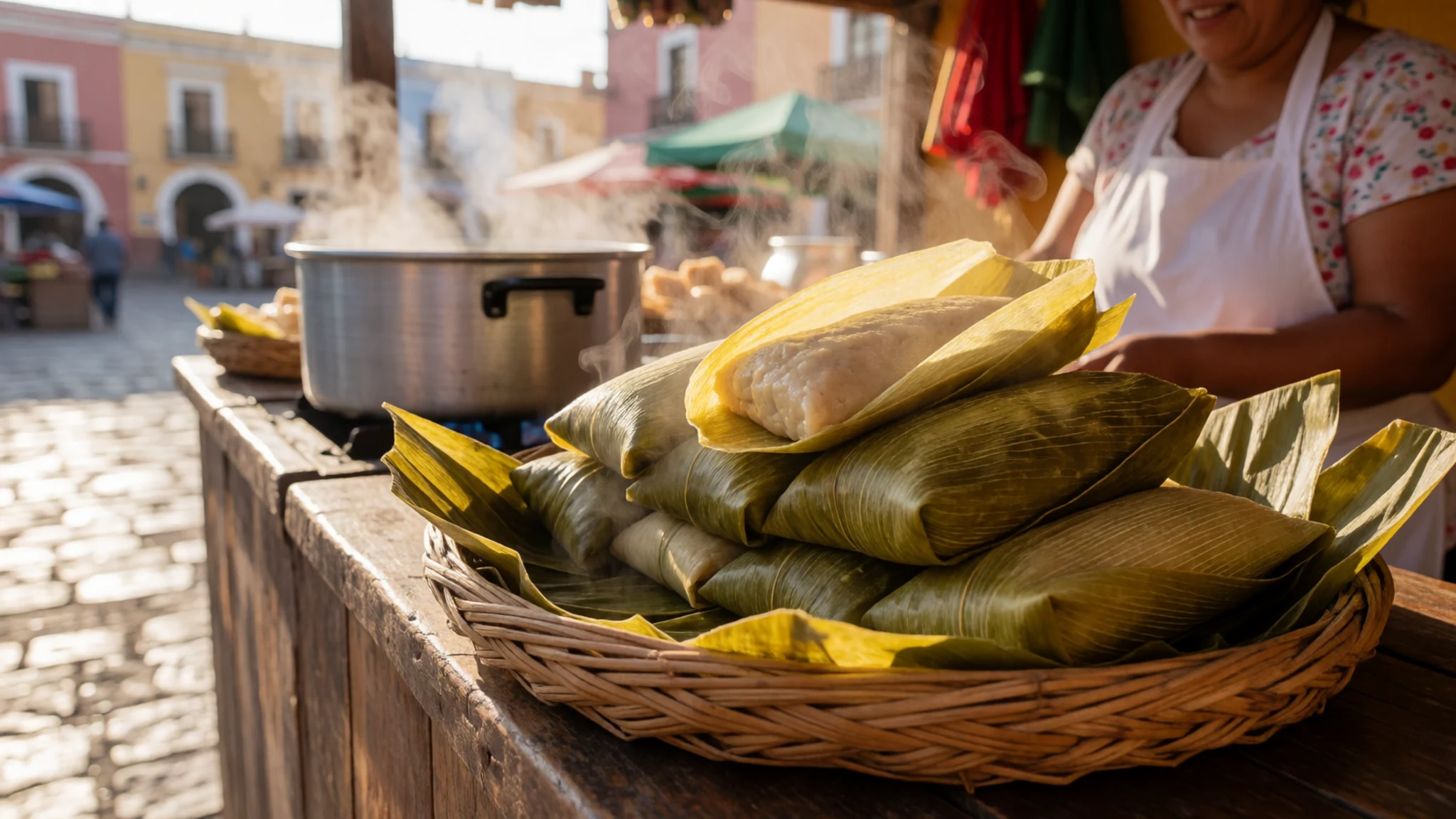
- Chiapas coffee — Any café in Tuxtla Gutiérrez, or a plaza stall in Chiapa de Corzo
Coffee grown in the highlands of the state, served strong and often sweetened. A small cup before a morning boat trip is a good way to start the day. Order it black if you prefer the grower's flavour without added sugar. - Fresh fruit and aguas frescas — Street stalls in Chiapa de Corzo, or the vendor boat midway through the tour
Fruit cut to order and served in a cup with lime and chilli, plus aguas frescas, which are flavoured fruit drinks. Refreshments are sometimes sold from a vendor boat during the tour. Eat fruit prepared in front of you, and carry water as well.
Plan it
Best time. November to April is the drier season and the easiest for boats and walks. Waterfalls appear on the canyon walls in the rainy season, when the river runs fuller, but paths can be slippery then.
How long. 1–2
Getting there. Tuxtla Gutiérrez has an airport and a bus terminal with service to other Mexican cities. From the city, take a taxi to the embarcadero in Chiapa de Corzo, a short ride, or a colectivo from the terminal on Calle Tercera Oriente Sur. Boat tickets are bought at the embarcadero, and the boats take you into the canyon from there.
Budget. mid
Tips
- Go early in the day and check boat times at the embarcadero before you walk down.
- Carry drinking water, a hat and sunscreen, since the boat ride takes about two hours on open water.
- Carry cash in pesos for colectivos, boat tickets and snacks.
- If you are coming from San Cristóbal de las Casas, compare a combined tour with doing the legs yourself.
- Climbing and rappelling are allowed, but only with a specialised guide who knows the local rock and carries proper equipment.
Etiquette
- Wear the life vest provided for the whole trip.
- Stay seated and keep your arms and legs inside the boat.
- Take your rubbish back with you and leave the viewpoints clean.
- Ask before photographing people, particularly at village edges and at the shrine.
Nearby
Sources
- Wikidata Q775138 (CC0)
- Wikipedia: Sumidero Canyon (rev 1380434858) (CC BY-SA 4.0)
- Wikivoyage: Cañón del Sumidero (rev 5266811) (CC BY-SA 4.0)
- Grijalva River in Sumidero Canyon, Tjeerd Wiersma (CC BY 2.5)
- Grijalva River at entrance to Sumidero Canyon, Jan Harenburg (CC BY 4.0)
- Sumidero Canyon National Park, ProtoplasmaKid (CC BY 4.0)
- Rock formation 'the Seahorse', AlejandroLinaresGarcia (CC BY 3.0)
- Grijalva River and Sumidero Canyon from above, Jan Harenburg (CC BY 4.0)
- Cloudy view of Sumidero Canyon, Eternalsleeper (Public domain)
- Crocodylus acutus, Tomás Castelazo (CC BY-SA 2.5)
- Shrine inside the Cueva de los Colores, Thelmadatter (CC BY 3.0)


