Caño Cristales
Caño Cristales, Colombia
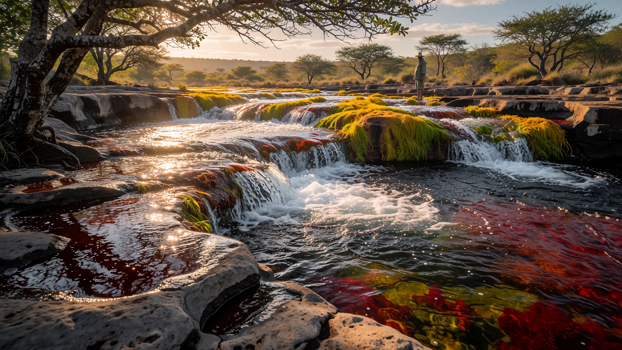
Caño Cristales is a Colombian river whose bed blazes red, green and yellow from late July to November, reached by plane and guided walk.
The place
Caño Cristales runs through the Serranía de la Macarena, an isolated mountain range in the Meta Department of Colombia. It is a tributary of the Guayabero River, which joins the wider Orinoco basin. A group of cattle farmers found the river in 1969, and it has since picked up nicknames such as the River of Five Colours and the Liquid Rainbow. The names come from the riverbed. From about late July until November, the stones take on yellow, green, blue, black and, most strikingly, red, the last produced by a water plant, Rhyncholacis clavigera, growing on the bottom. The river is fast and broken, with rapids, small waterfalls and rock pools. Round hollows called giant's kettles are carved into the stone, usually started by a pebble trapped in a depression and spun by the current until it widens the pit. The surrounding land is savanna with scrub and small trees, and the wider park is unusually rich in plants and animals found nowhere else. Access has grown into a steady tourist trade, though the place still feels remote. Most visitors fly in from Bogotá on a tour that covers the flight, lodging and guided walks, which is usually easier and cheaper than travelling alone. Water levels and trail conditions change with the season, so the same walk can be easy one month and difficult or closed the next. Visiting the river well means accepting that the walk is the physical part of the trip and that guides set the pace.
Its story
The story of Caño Cristales begins long before anyone thought of it as a sight. The quartzite under the Serranía de la Macarena formed roughly 1.2 billion years ago, and the tableland is a western extension of the ancient Guiana Shield, a vast block of old rock to the east. Water and time did the rest, cutting the stone into the rapids and hollows the river runs over today. People have lived in the foothills far longer than outsiders have known the river. The Guayabero people were in the region long before any modern settlement, moving through a landscape of savanna and forest edge, and their presence is one reason the names of the river and its surroundings carry older layers than the maps suggest. The modern story is much more recent. Cattle farmers found the river in 1969, and word spread slowly beyond the local area. Settlers from Caquetá arrived in the 1950s and founded a town, first called El Refugio, which grew into the regional centre for smallholders who raise cattle. Tourism came later, as the colours drew photographers and travellers willing to make a difficult journey. That growth has brought pressure to the river. Visits are now largely arranged through guides and local agencies, and the local community runs parts of the visit, including the rapid at El Raudal. The military presence in town and along the walking routes reflects the wider security situation in the area, which is one reason most visitors go with an agency. What began as remote cattle country is now a place people plan trips toward, and the balance between visitors and the river is part of its story today.
What to see
- Caño Cristales — The river, a walk out from La Macarena town
The river is the reason for the trip, and its colours shift through the season. Guides usually count five shades, with a vivid red dominating the stones. The palette depends on the light and the stretch you are on. Expect rapids, small falls and round hollows in the rock. The stones are slippery, so grippy footwear matters more than how it looks.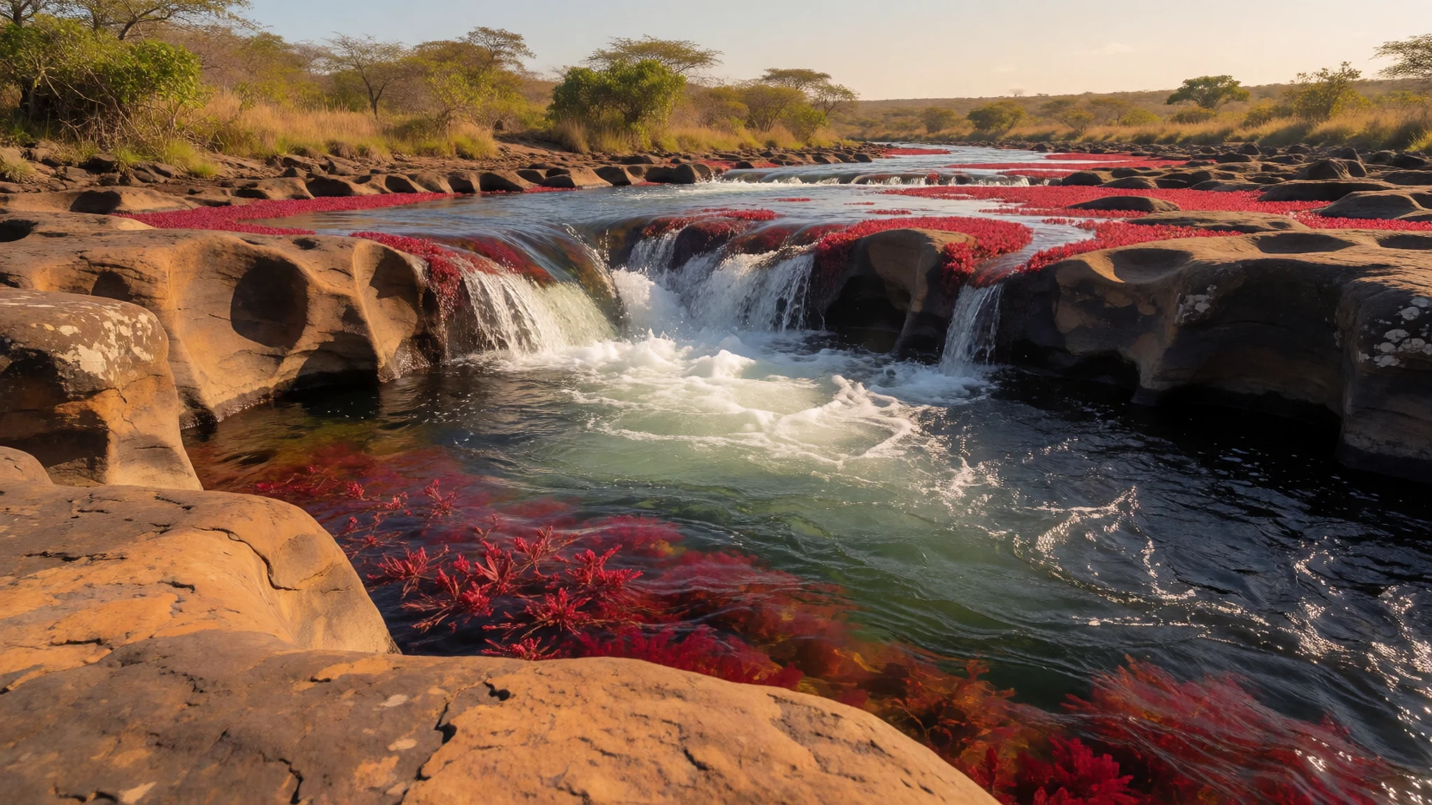
- Caño de Piedras — A short moto-taxi ride from the town
Caño de Piedras is a short moto-taxi ride out of town, where a river has a natural pool that local families use heavily. It is a good place to cool off after a long day on the rapids, and on the day most shops close, families come here in numbers. The water is clear enough to see the stones. Bring a towel and a dry bag, and keep valuables with you.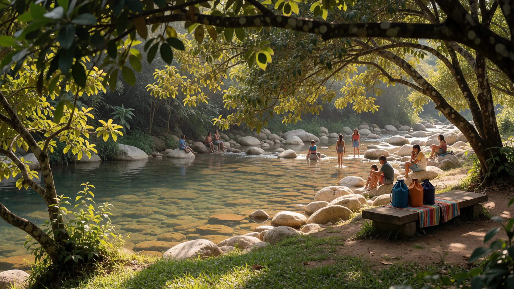
- Jardín Botánico — La Esperanza village, outside town
The Jardín Botánico is a private garden in the village of La Esperanza, set up to recover and conserve native plants and animals. It makes a calmer counterpoint to the river, with local species on show and a chance to learn what lives in the savanna and forest edge. Check opening arrangements directly with the garden before you plan the day.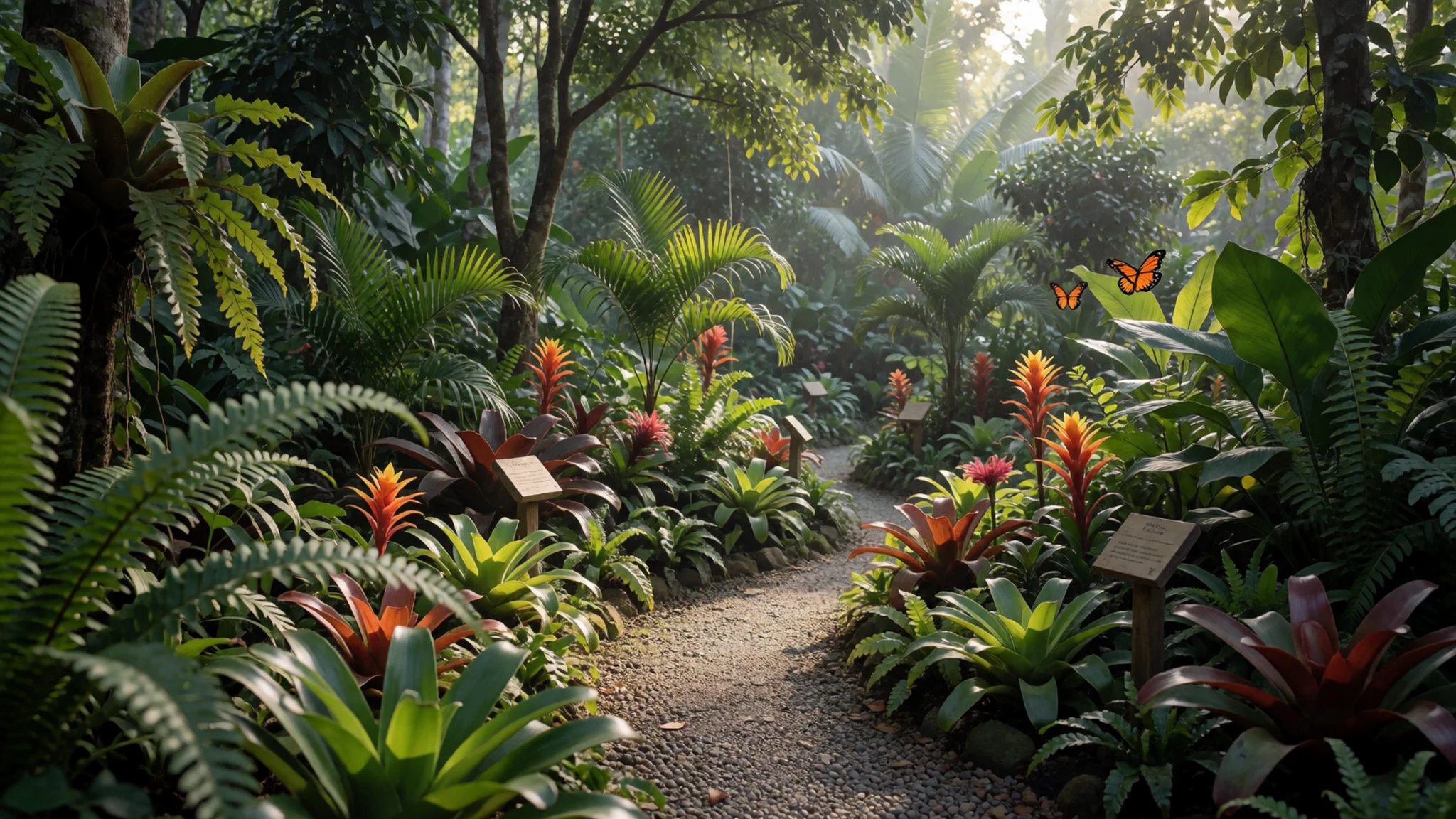
- Finca Cristalitos — A farm reached from the main route
Finca Cristalitos is a smaller river that flows into Caño Cristales, and in its own way just as colourful. It suits a slower afternoon than the main channel. Ask your guide whether farm access is open on your dates, since private land arrangements can change. Bring water and sun protection, because there is little shade on the bank.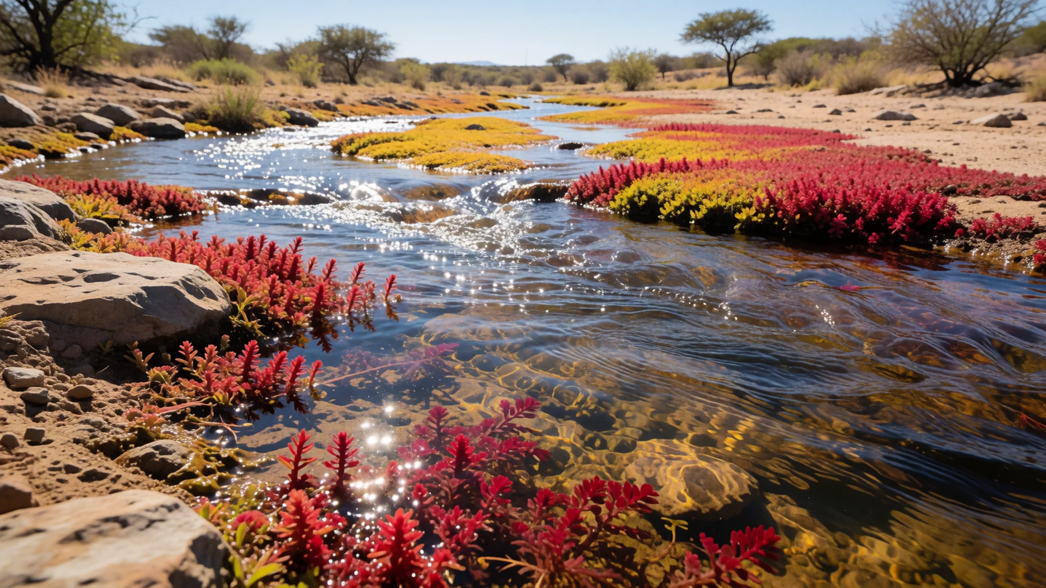
- El Raudal — On the Guayabero River, run by the local community
El Raudal is a rapid on the Guayabero River, formed between old rock walls. After Caño Cristales, it is the most visited place in the region, and the local community that lives beside it runs the site. Follow any community arrangements for access and the path your guide shows you. It is a strong, fast stretch of water, so keep clear of the edges.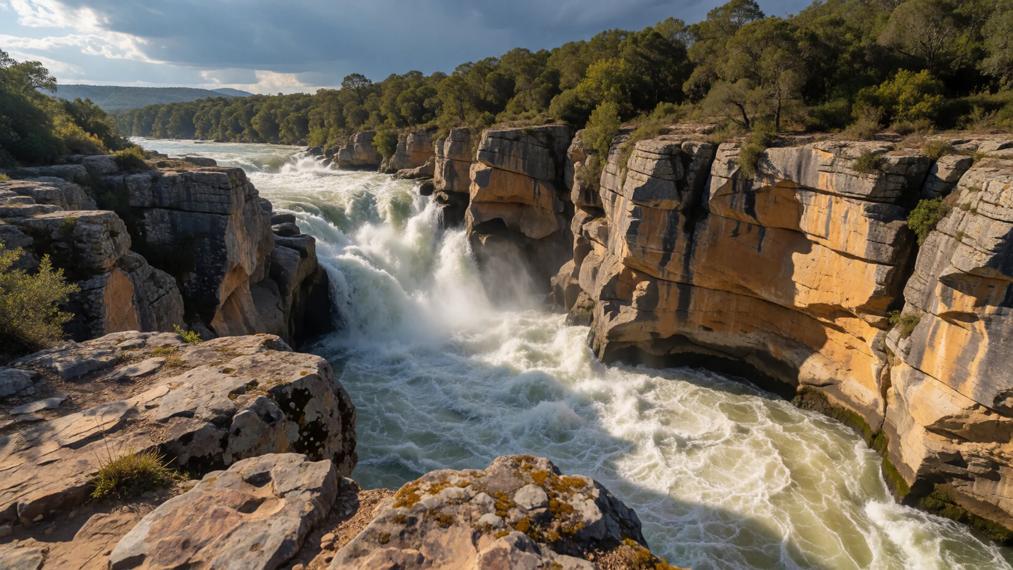
Culture
La Macarena is a working cattle town first and a tourist stop second. Most people who come in from the surrounding farms are campesinos buying supplies, often at weekends, and the town's rhythm reflects that. Many shops close on Wednesdays, and daily life gathers around the market, the church and the single park with its shade. Locals do not owe visitors a show. Access to the river is organised through guides and agencies, and several riverside sites are run or lived beside by local families, so money spent on a guide and meals stays in the community. The military keeps a presence in town and along the walking routes, and it is sensible to accept the advice of officials and guides without argument. Ask before photographing people, and stay on marked paths so the riverbanks and their plants are left undisturbed.
What to wear
Traditional dress around Caño Cristales follows the llanero style of the eastern plains: a loose, long-sleeved cotton shirt, sturdy cotton trousers, a wide-brimmed straw hat and a belt, with leather boots or rope-soled alpargatas for work. Cotton and straw are the everyday materials, chosen for heat and sun rather than display. Fuller dress comes out for celebrations and dances. What people wear now is mostly practical. Campesinos in town wear jeans, work shirts and boots, and the straw hat is still common in the fields. Many younger people wear ordinary T-shirts and jeans, and on the day most shops are shut, swimsuits and sandals appear at the river pool. What a visitor should wear comes down to climate and terrain. Light, long-sleeved shirts and quick-drying trousers protect against sun and insects, and covering the skin also helps with malaria risk. A wide hat and sunscreen are essential. Footwear is the key decision: closed sandals with a firm grip or water shoes, because the rocks are slippery and the current is fast. Wear a swimsuit that can go under your clothes, pack a light waterproof for rain, and dress more modestly in town and in church than on the riverbank.
What to eat
- Hearty soups — A family-run restaurant near the town centre
Soups anchor local eating: thick, filling and built on beef or chicken with vegetables. They suit the long days on the river. Look for a family-run restaurant near the town centre, where the value is usually good.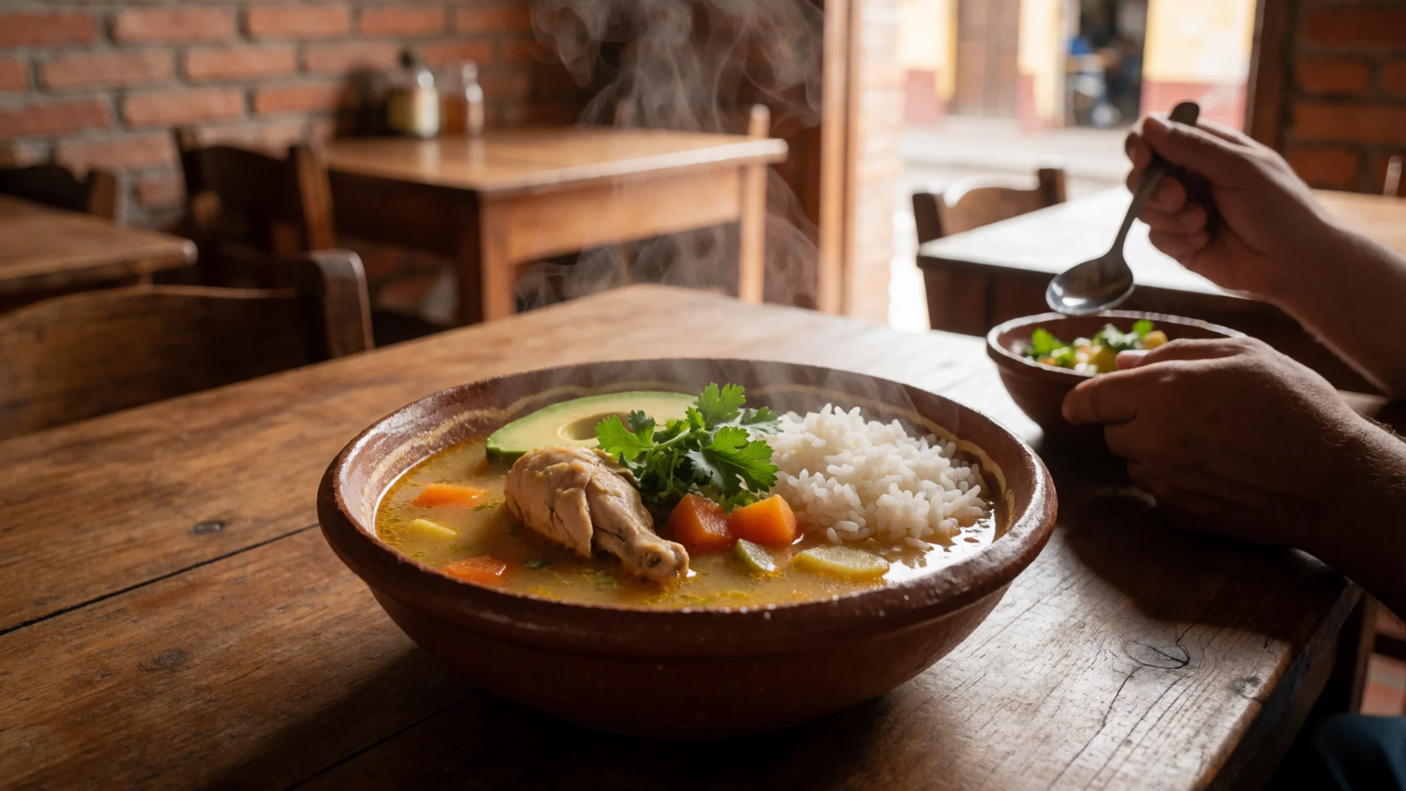
- Grilled or stewed beef — Family restaurants along the main street of town
Cattle farming is the local economy, so beef is the expected meat. Grilled cuts and slow stews both show up on menus, usually with rice and simple vegetables. Ask at a restaurant what is cooked that day, since the choice depends on what arrived in town.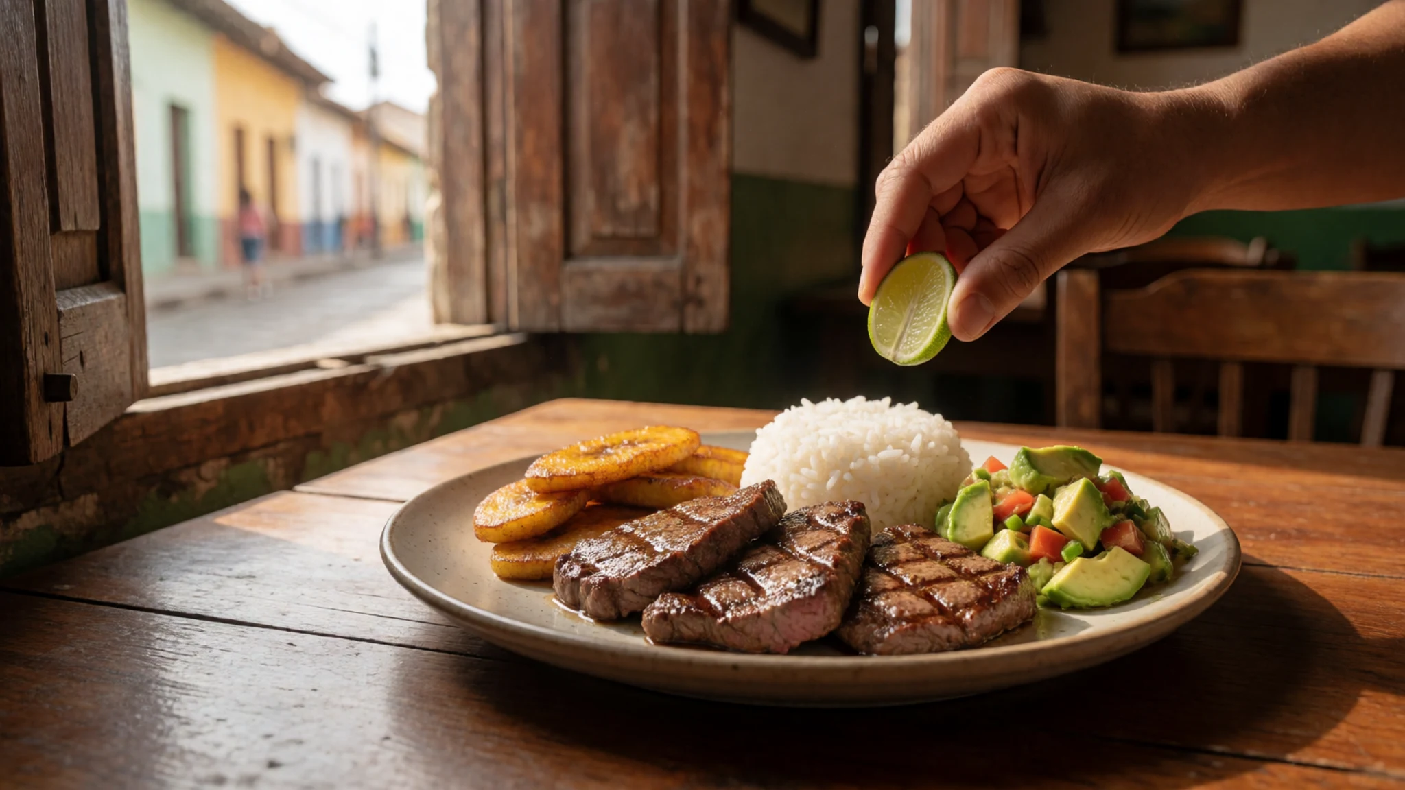
- Fresh bread from the panaderías — The bakeries (panaderías) around the town centre, early in the morning
Bakeries are everywhere in town, and the morning is when they are busiest. Fresh bread and sweet rolls appear early, and the busiest-looking bakery is usually the best. Buy a roll to take on the walk, and carry water from town. - Coffee in a quiet café — A quiet café in the town centre
Coffee is a slow pleasure here, and one café in town is known for keeping the music low, which suits a day of recovery. Sit with a cup in the shade, talk with locals, and leave the phone off the table.
Plan it
Best time. Late July through November, when the riverbed shows its colours. The overland road is impassable in the rainy season, so flights are the realistic option, and weather can delay them at any time of year.
How long. 3–4
Getting there. Fly from Bogotá to La Macarena, a small airstrip near the town, then continue by short transfer to the river. Most visitors book this through a tour that includes the flight. The overland route is a rough jeep journey from Vistahermosa, which runs only on a weekly service.
Budget. high
Tips
- Book through an agency in Bogotá, which often costs less than arranging flights and guides separately
- Allow a spare day in case flights are delayed by weather
- Start walks early to beat the heat and the midday sun on the rock
- Carry cash, because card payment in town cannot be relied on
- Take water, sun cream and a basic first-aid kit, and discuss malaria medicine with a doctor before you travel
Etiquette
- Follow your guide's route and stop instructions
- Stay out of the river where your guide says the rocks are unsafe
- Ask before photographing residents
- Leave the stones and riverbed plants where they are
Nearby
Sources
- Wikidata Q2624957 (CC0)
- Wikipedia, Caño Cristales (rev 1378842064) (CC BY-SA 4.0)
- Wikivoyage, La Macarena (rev 5407892) (CC BY-SA 4.0)
- Photo 01-ca-o-cristales-01.jpg, Astromario (CC BY 3.0)
- Photo 02-clavigera-macarena.jpg, Peter Fitzgerald (CC BY 3.0)
- Photo 03-agua-verano-ca-o-cristales-la-macarena-ariari-meta-colombia.jpg, Sierraluisfer (CC BY-SA 4.0)
- Photo 04-baby-turtle-42328565782.jpg, Pedro Szekely (CC BY-SA 2.0)
- Photo 05-canno-cristales-20180821-120058.jpg, Xatly2 (CC BY-SA 4.0)
- Photo 06-canno-cristales-20180821-124208.jpg, Xatly2 (CC BY-SA 4.0)
- Photo 07-canno-cristales-20180821-120553.jpg, Xatly2 (CC BY-SA 4.0)
- Photo 08-canno-cristales-20180821-121252.jpg, Xatly2 (CC BY-SA 4.0)


