Cabot Trail
Cabot Trail, Canada
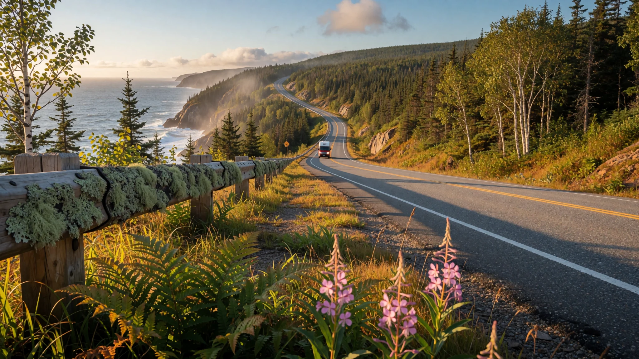
A coastal road loop around the northern tip of Cape Breton Island, with the ocean in view for much of the way and highland forest inland.
The place
The Cabot Trail is a scenic highway that loops around the northern tip of Cape Breton Island, on the Atlantic coast of Nova Scotia. The loop runs 298 km (185 mi) and follows the rugged shoreline for much of its length, so the ocean is rarely out of sight. Inland, the road climbs through the Cape Breton Highlands and the national park that shares their name, where the forest thins onto bare plateau and the land drops steeply to the sea.
The route touches several small communities. Baddeck, on the southern side, sits on the shore of Bras d'Or Lake and is home to the Alexander Graham Bell National Historic Site. Chéticamp, further west, is an Acadian fishing village where French remains part of everyday life. Along the northern and eastern stretches, Pleasant Bay, Dingwall and Ingonish are strung between headlands, and the road passes the Keltic Lodge and Cape Smokey Provincial Park. St Ann's is home to the Gaelic College of Celtic Arts and Crafts.
The trail is best thought of as a drive rather than a single destination. Much of the scenery is visible from the road itself, but the lookouts, side roads and short walks reward slowing down. Long stretches can pass with few services and patchy phone signal, and the views change every few kilometres as the road climbs and falls back to the water.
Its story
The trail takes its name from John Cabot, the navigator sailing for England who reached the North American coast in 1497. Modern historians now think his first landfall most likely lay on Newfoundland rather than Cape Breton Island, so the link to the island is a hopeful attachment rather than settled fact. The name owes more to twentieth-century promotion than to the voyage itself. In the early 1930s, Nova Scotia's premier, Angus L. MacDonald, wanted to present the province to visitors as primarily Scottish. As part of that push he helped create both the Cape Breton Highlands name and the Cabot Trail name. The first route was completed in 1932, and the scenery it opened up has since become the main reason people come.
The coast's history is older and more mixed than the branding suggests. Acadian families settled Chéticamp and other villages on the western side, and their French language and parish life still shape those communities. Gaelic speakers from Scotland arrived in the nineteenth century, and their descendants kept the language alive in places such as St Ann's, where the Gaelic College now teaches music, dance and crafts. Fishing has long been the economic base, and the wharves and lobster boats still matter more than the tourist lodges. The highway now links these communities, and the mix of cultures shows in church steeples, place names and the music played in local halls.
What to see
- Skyline Trail — Cape Breton Highlands National Park, northern side
The Skyline Trail starts from a car park beside the road inside Cape Breton Highlands National Park and climbs onto open ground above the coast. On clear days the views reach out over the water, and the walk suits a slow afternoon. Arrive early or late in the day, when parking is easier, and bring layers, since the wind on the higher ground can be sharp even in summer.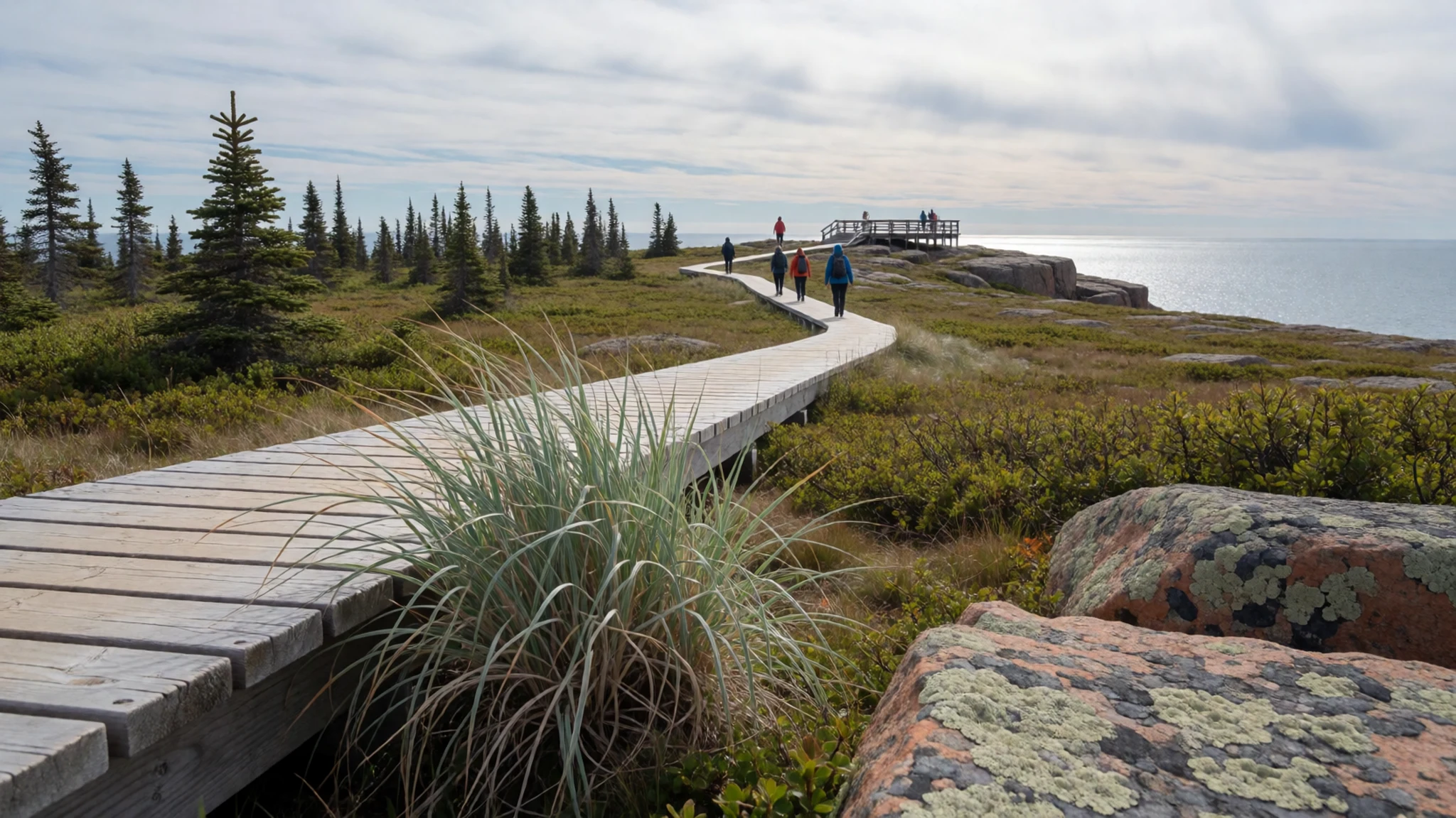
- Chéticamp — Western coast, Acadian village
Chéticamp is an Acadian fishing village on the western side and the easiest place on the loop to see the island's Acadian identity. The harbour is busy with boats in the morning, and local craft shops sell hooked rugs, a textile tradition closely tied to the area. Allow an hour or two to walk the waterfront, look in the shops and talk with the makers about their work.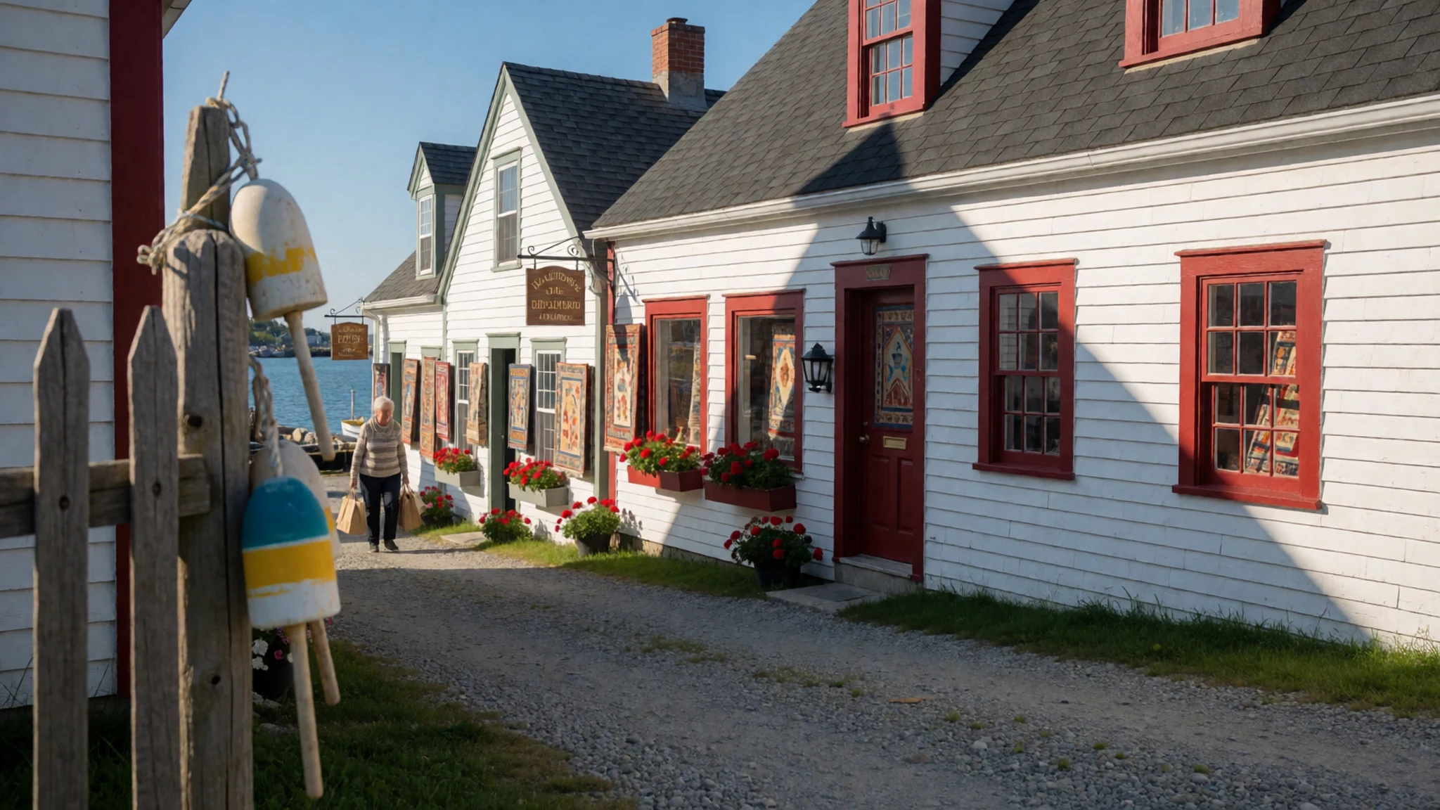
- Baddeck and the Bell site — Southern side, Bras d'Or Lake shore
Baddeck sits on the shore of Bras d'Or Lake and is the base for the Alexander Graham Bell National Historic Site. The site looks at the inventor's work in communications and his interest in flight. Visitors should allow a relaxed half day for the site and the lakeside walk, and check the official site for opening times before setting out.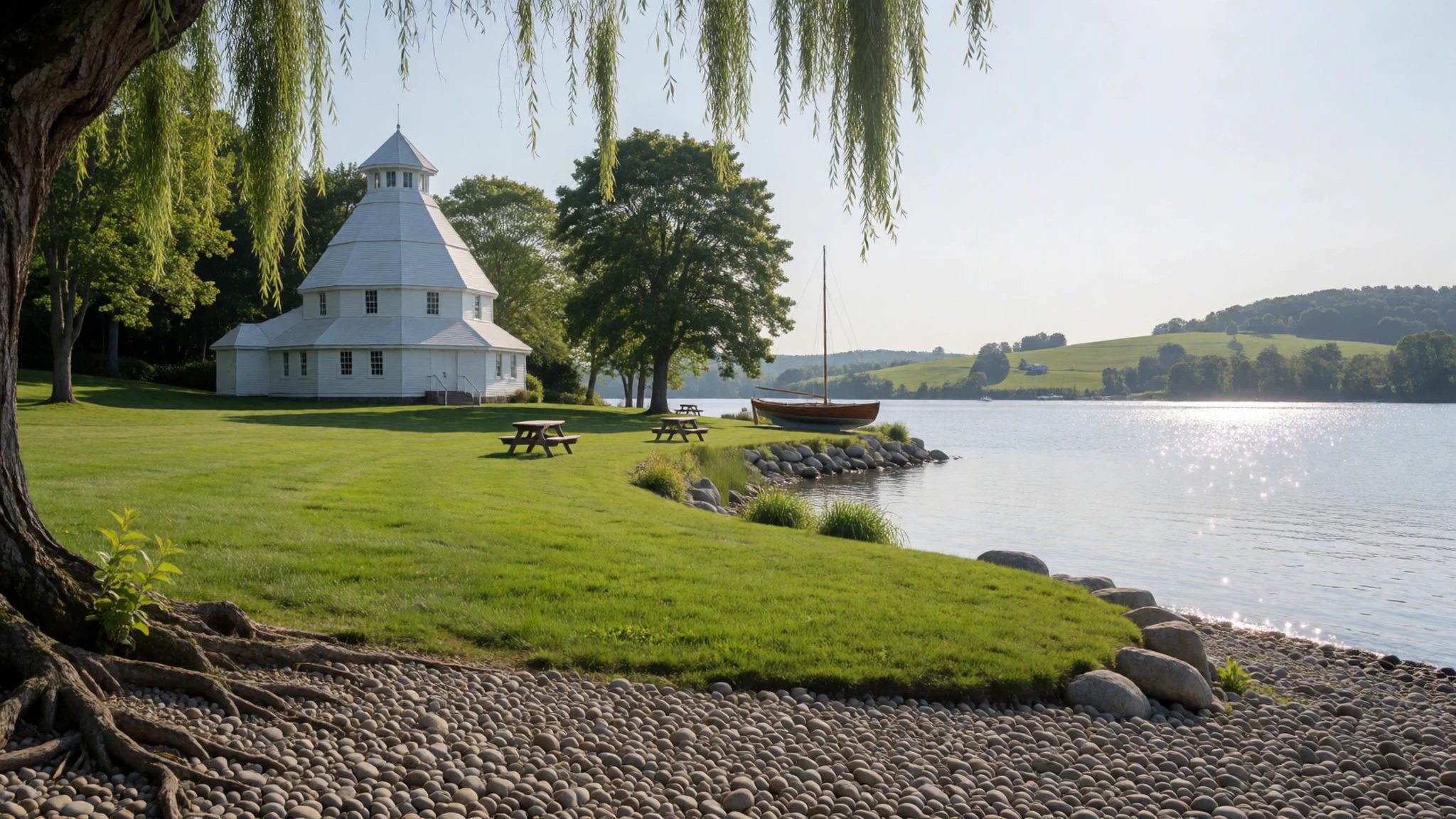
- Pleasant Bay and whale watching — Northwestern coast
Pleasant Bay is a small community known for whale watching trips that leave from the local harbour in season. Trips depend on the weather and fill quickly in summer, so book ahead and dress warmer than seems necessary. Operators vary in price and length, so compare them directly and check the official site or the operator's own listing before paying.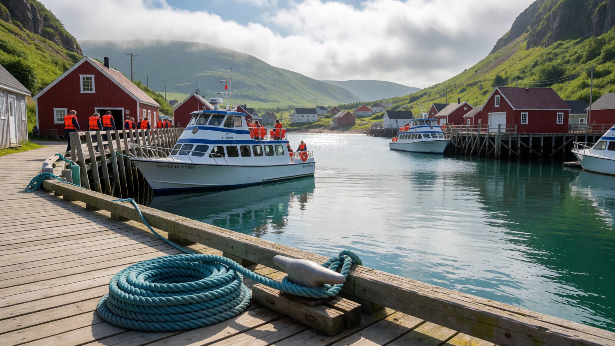
- Cape North and Ingonish — Northern tip and eastern coast
Cape North is a headland at the northernmost point of the trail, where the road turns sharply and begins heading south again. Further down the coast, Ingonish is the home of the Keltic Lodge and Cape Smokey Provincial Park, set beside the sea. The two stops work well together as a single half day, with a break at the headland before a walk in the park.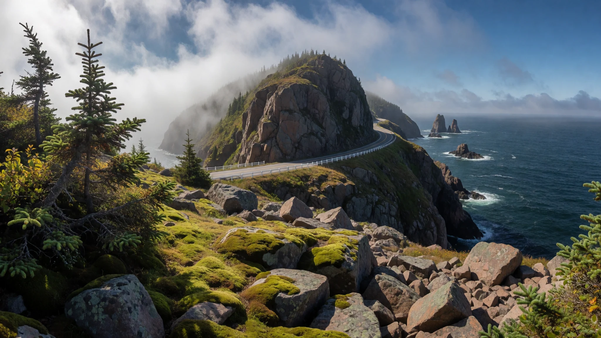
Culture
Life on Cape Breton Island is shaped by family, church, the sea and music, and visitors notice how neighbourly the small communities can be. Acadian heritage is strongest around Chéticamp, where French is heard in shops and at community events, while Gaelic song and step dance are kept up through festivals and the college in St Ann's. Many residents are friendly to strangers, but they also take their work seriously: fishing crews start early, and wharves are workplaces rather than viewpoints. Music sessions in local halls are informal and often welcome visitors, and a lively kitchen party can run late into the evening. Wildlife is part of daily life as well. Moose cross the road, especially at dusk and in the early morning, and drivers are expected to slow down for them. Keep to the pull-offs when you stop, and never block a wharf or a working lobster boat.
What to wear
Cape Breton's traditional dress owes most to its Highland Scottish and Acadian roots. Tartan is the signature textile: kilts, sashes and kilted costumes appear at ceilidhs, pipe competitions and Gaelic College events, usually in wool woven in clan and district patterns. Acadian dress was more practical, with long skirts, plain wool shawls and woollen stockings, and it survives mainly in festival costume in Chéticamp and the western villages. Fishing families relied on heavy wool jumpers and oilskins, which remain common outside the festival calendar. Day to day, people on Cape Breton Island dress much like other Canadians, in jeans, fleece, waterproof jackets and sturdy boots, with summer evenings often calling for a warm layer. Visitors should pack for changeable coastal weather even in July: a waterproof shell, a fleece or wool jumper, and footwear with good grip for rocky lookouts and forest paths. Modest clothing suits churches, and the villages are casual, though a light layer is useful at most roadside stops.
What to eat
- Lobster — Seafood shacks and wharf-side kitchens in the fishing villages
Lobster is the coast's signature, usually boiled and served with melted butter at seafood shacks and wharf-side kitchens. Summer brings the most boats landing it, and a simple plate is the best way to taste it. Choose a waterfront place in the fishing villages rather than a counter aimed at passing coaches.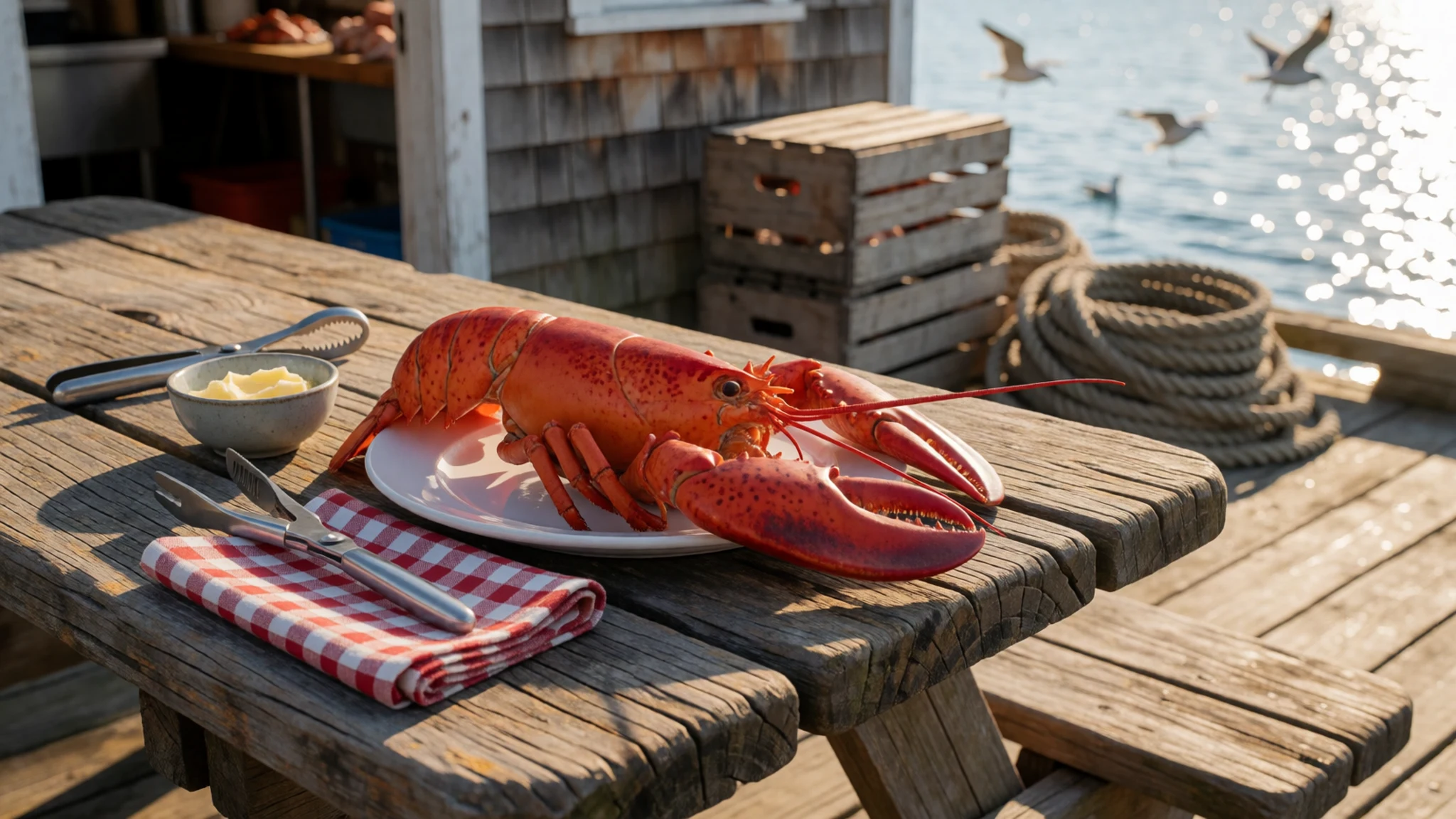
- Acadian home cooking — Community suppers and small cafés in Chéticamp
Acadian home cooking in the western villages draws on fish, potatoes and fresh bread. Look for it at community suppers and small cafés in Chéticamp, where meals tend to be simple, generous and made with local ingredients rather than imported ones.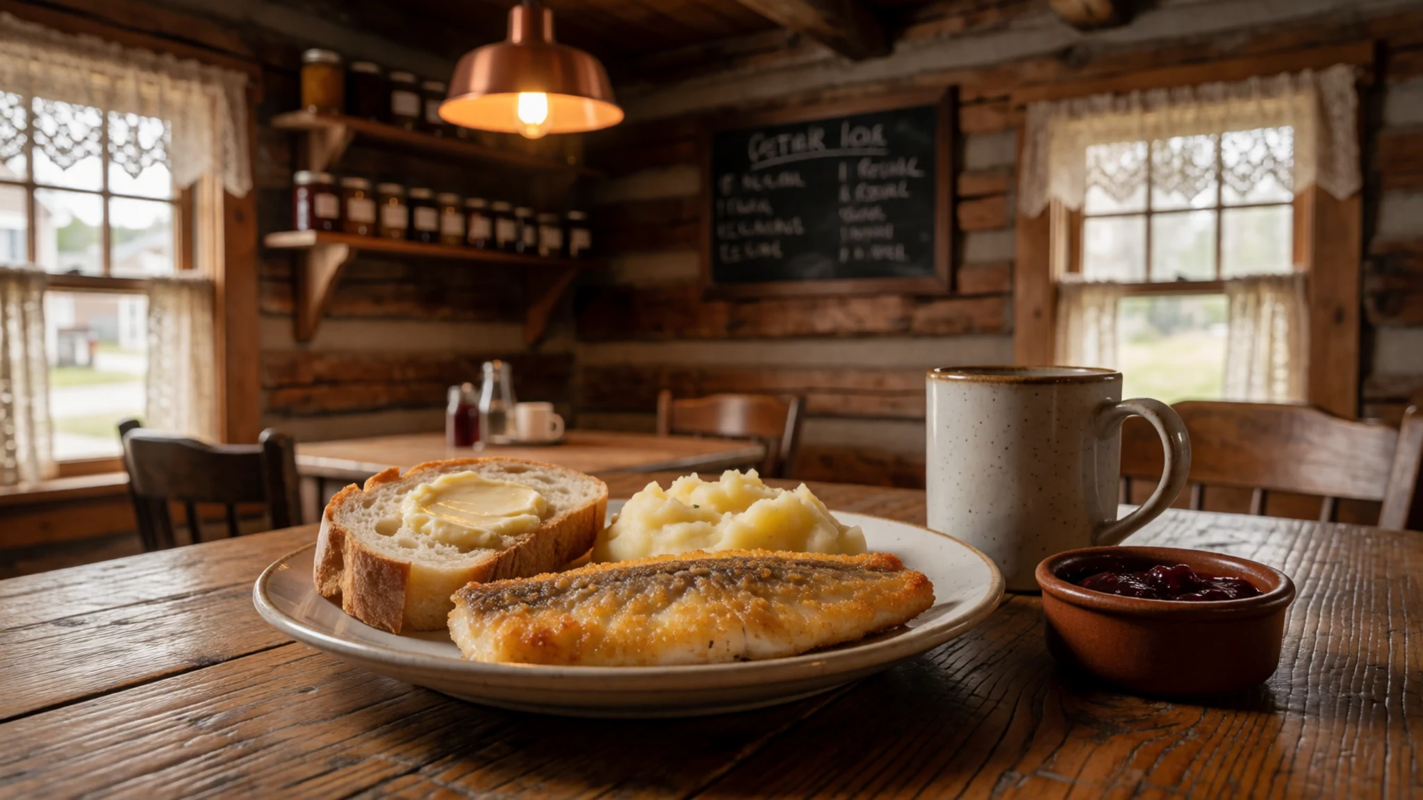
- Seafood chowder — Harbourside cafés in the fishing villages and lodge dining rooms on the northern shore
Seafood chowder appears on almost every menu along the loop, thick with potatoes, cream and whatever the boats brought in that morning. Order it at a harbourside café in one of the fishing villages, or at a lodge dining room on the northern shore after a long walk. - Fish from the wharf — Roadside stalls and working wharves on the eastern and northern stretches
Some wharves sell fish and shellfish directly from the boats, especially in the fishing villages on the eastern and northern stretches. Buy in small amounts for a picnic and ask when the catch came in, since supply changes from day to day. Cash is often easier than cards at these stalls. - Bakeries and cafés — Village bakeries in Baddeck and Chéticamp
Bakeries and small cafés in Baddeck and Chéticamp sell fresh bread, squares and sweet buns that suit a long day on the road. Stop at a village bakery in the morning and take a packed lunch, since services thin out between the larger communities.
Plan it
Best time. July to October suits the drive best, when the roads are open, the villages are fully running and the weather is at its mildest; June can be cool and foggy, and September and early October bring autumn colour. Book accommodation early for July and August.
How long. 2–3
Getting there. Fly into Sydney on Cape Breton Island, or into Halifax and drive; the final leg is by car, which is the practical way to follow the loop.
Budget. mid
Tips
- Check the official site for park opening times and any fees before you set out
- Book beds in Baddeck and Ingonish early for July and August
- Fuel up before the northern stretch, where services are scarce
- Carry cash for small stalls and wharf purchases
- Start the Skyline Trail early to beat the crowds
- Watch for moose at dusk and dawn
Etiquette
- Pull fully off the road before you stop, and never block a lane for a photograph
- Ask before photographing people at work on the wharves
- Give moose and other wildlife plenty of room
Nearby
Sources
- Wikidata Q642700 (CC0)
- Wikipedia: Cabot Trail (CC BY-SA 4.0)
- Wikivoyage: Cabot Trail (CC BY-SA 4.0)
- Cape Breton 04, Aconcagua (CC BY 3.0)
- Cabot Trail winding through Cape Breton Highlands National Park, Elviroyage (CC BY-SA 4.0)
- Cabot Trail coast, Clngre (CC BY 3.0)
- 1998-07-26 Cabot Trail in Cape Breton Island (1), Eduard47 (CC BY-SA 4.0)
- 1998-07-26 Cabot Trail in Cape Breton Island (10), Eduard47 (CC BY-SA 4.0)
- 1998-07-26 Cabot Trail in Cape Breton Island (2), Eduard47 (CC BY-SA 4.0)
- 1998-07-26 Cabot Trail in Cape Breton Island (3), Eduard47 (CC BY-SA 4.0)
- 1998-07-26 Elchwarnung auf dem Cabot Trail in Cape Breton Island (6), Eduard47 (CC BY-SA 4.0)


