Brandberg Mountain
Brandberg Mountain, Namibia
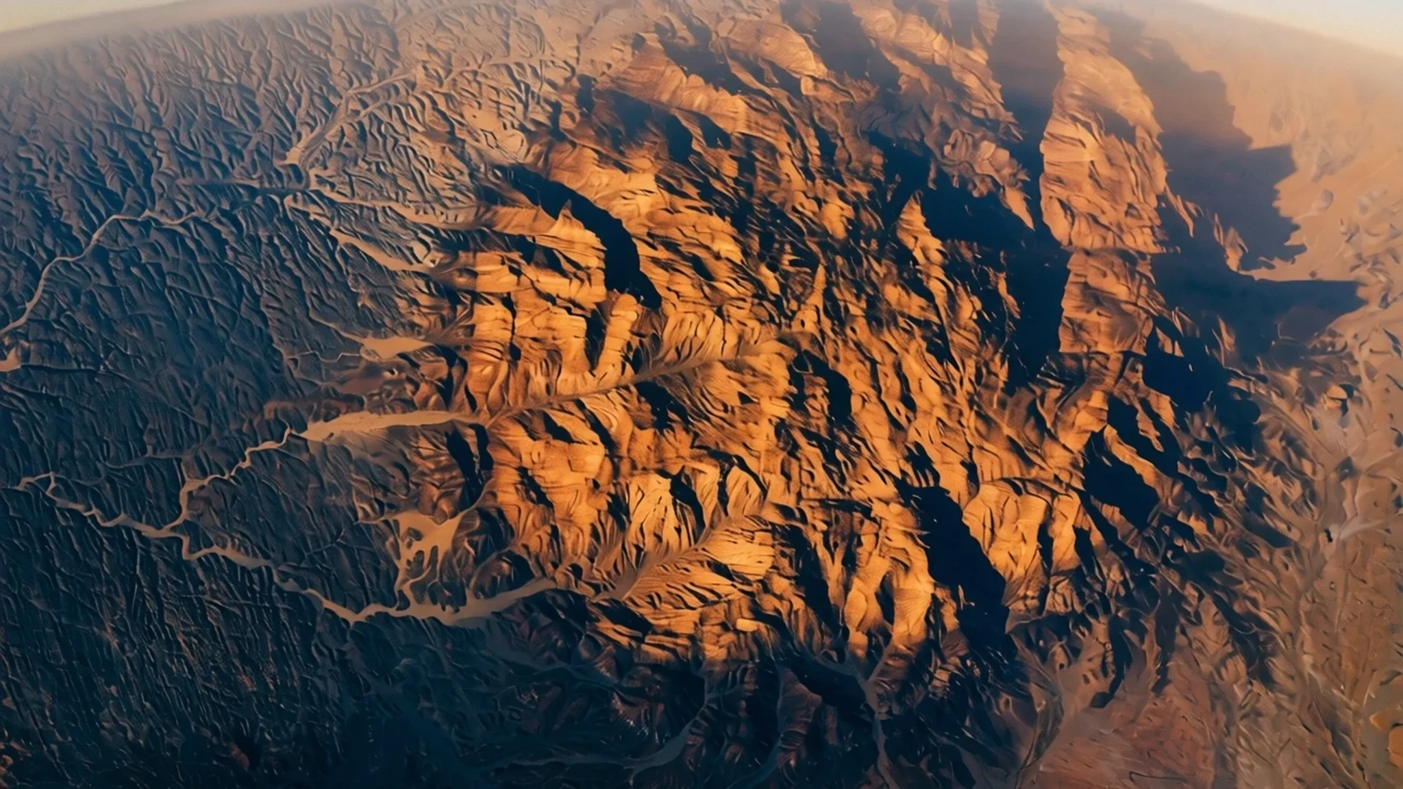
Namibia's highest mountain, a granite massif that rises alone from the Namib gravel plains and rewards a slow, steep climb through some of the country's most striking desert scenery.
The place
Brandberg Mountain is Namibia's highest mountain, a massif of granite and alkaline rock in the Erongo region on the country's north-western edge. Its summit, the Königstein (German for 'King's Stone'), reaches 2,573 m above sea level and stands alone on the flat gravel plains of the Namib, so nothing competes with it for height. On a clear day it can be picked out from a long way off, which has made it a landmark for herders, travellers and surveyors for generations. Locals call it Dâures in Damara and Omukuruvaro in Otjiherero, and both names remain in everyday use. The protected core of roughly 450 square kilometres was declared a National Monument in 1951, and it holds a surprising variety of landscape for such an arid region. Seasonal river valleys, including the Ga'aseb, Hungurob and Tsisab, cut into the massif and carry water after rain, so acacias and grasses grow along their beds while the surrounding plains stay almost bare. The rock faces show bands of red, ochre and near-black. Geologically the massif is a complex of intrusive rock that pushed up into older layers and was later uncovered as erosion stripped away the surrounding material. Wind and occasional flash floods have carved the granite into domes and tors. Reaching the top is a steep scramble rather than a trail, and the usual route is also the steepest, so the mountain rewards careful pacing and good footwear. Wildlife is sparse but adapted, and desert elephants move through the Ugab riverbed farther north.
Its story
Brandberg Mountain has been known by several names, and the stories told about it depend on who is telling them. The Damara name Dâures and the Herero name Omukuruvaro long predate the German colonial maps that gave the summit its present title, Königstein, meaning King's Stone. Surveyors and colonial officials noticed the peak from the coast and the plains, and the name stuck on paper even as local languages kept their own words for the mountain. Today the traditions sit side by side on signboards and in conversation. The mountain's modern history is shaped by conservation. The core area of roughly 450 square kilometres was declared a National Monument in 1951, which put its rock art and natural features under formal protection. Protection did not end the ways people value the land. Local communities still hold strong connections to the massif, and guides who know the valleys are central to how the mountain is visited. The rock art is what has drawn scholars and walkers most. Painted and engraved figures survive in the sheltered valleys, and one painting, popularly called the White Lady, has become the mountain's best-known image. Its interpretation has been debated for a long time, and visitors are usually taken to such sites by guides who explain the context and keep groups on the marked paths. The story of the mountain is therefore less a single legend than a set of overlapping histories, each still being written.
What to see
- The Königstein summit — Erongo region, Brandberg massif
The Königstein is the highest point of the massif and the reason most people come. The climb is steep and the upper section involves scrambling over granite, so it suits walkers comfortable on rough ground. Start early, as shade is limited and the descent can be tiring in the afternoon heat. The view stretches across the Namib plains.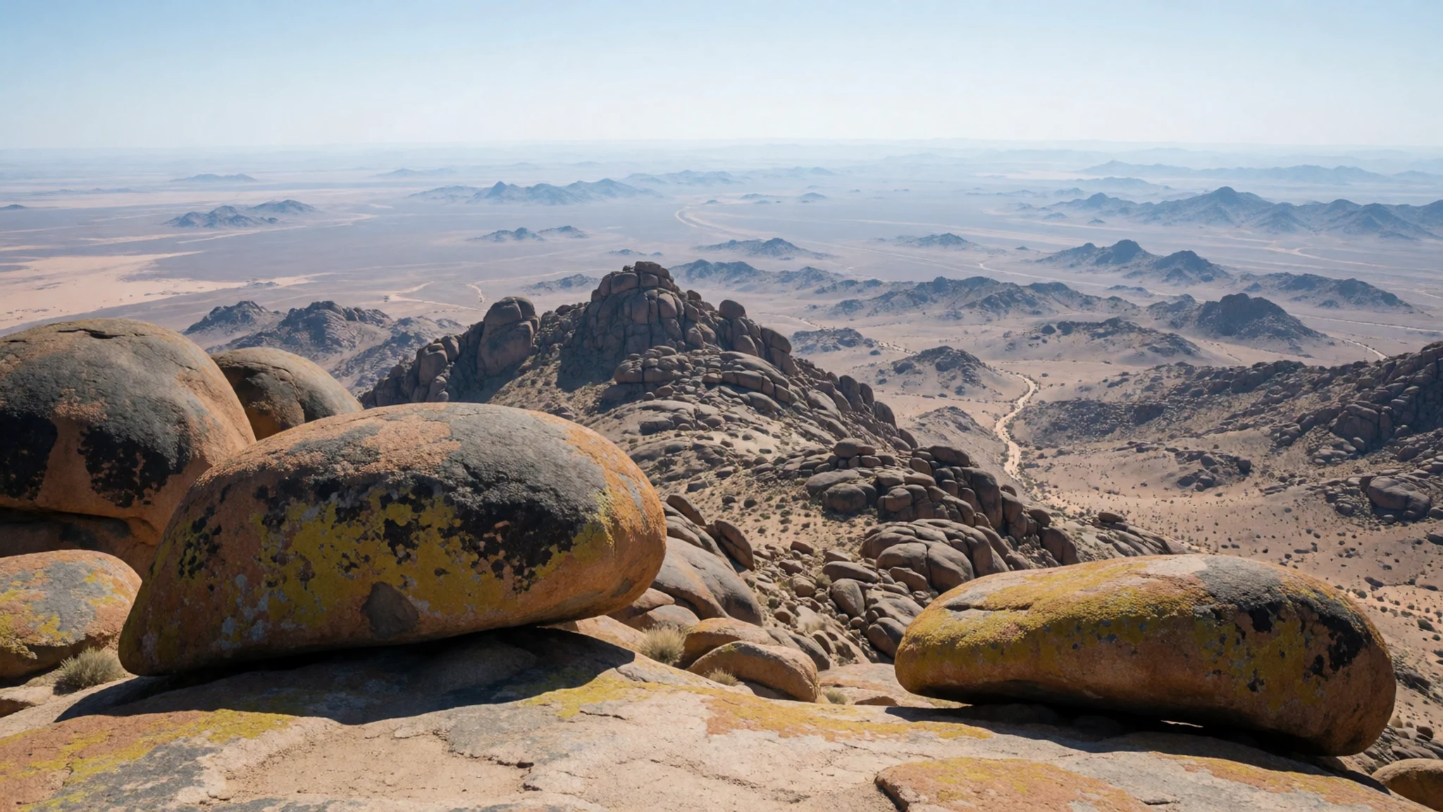
- The White Lady painting — Brandberg massif rock-art valleys
The White Lady is the best-known painting on the mountain, a pale figure on a rock face in a sheltered valley. Its meaning is still debated, and guides tend to lay out the different interpretations rather than settle on one. The painting is fragile and protected, so visitors look from the designated viewpoint and never touch the surface.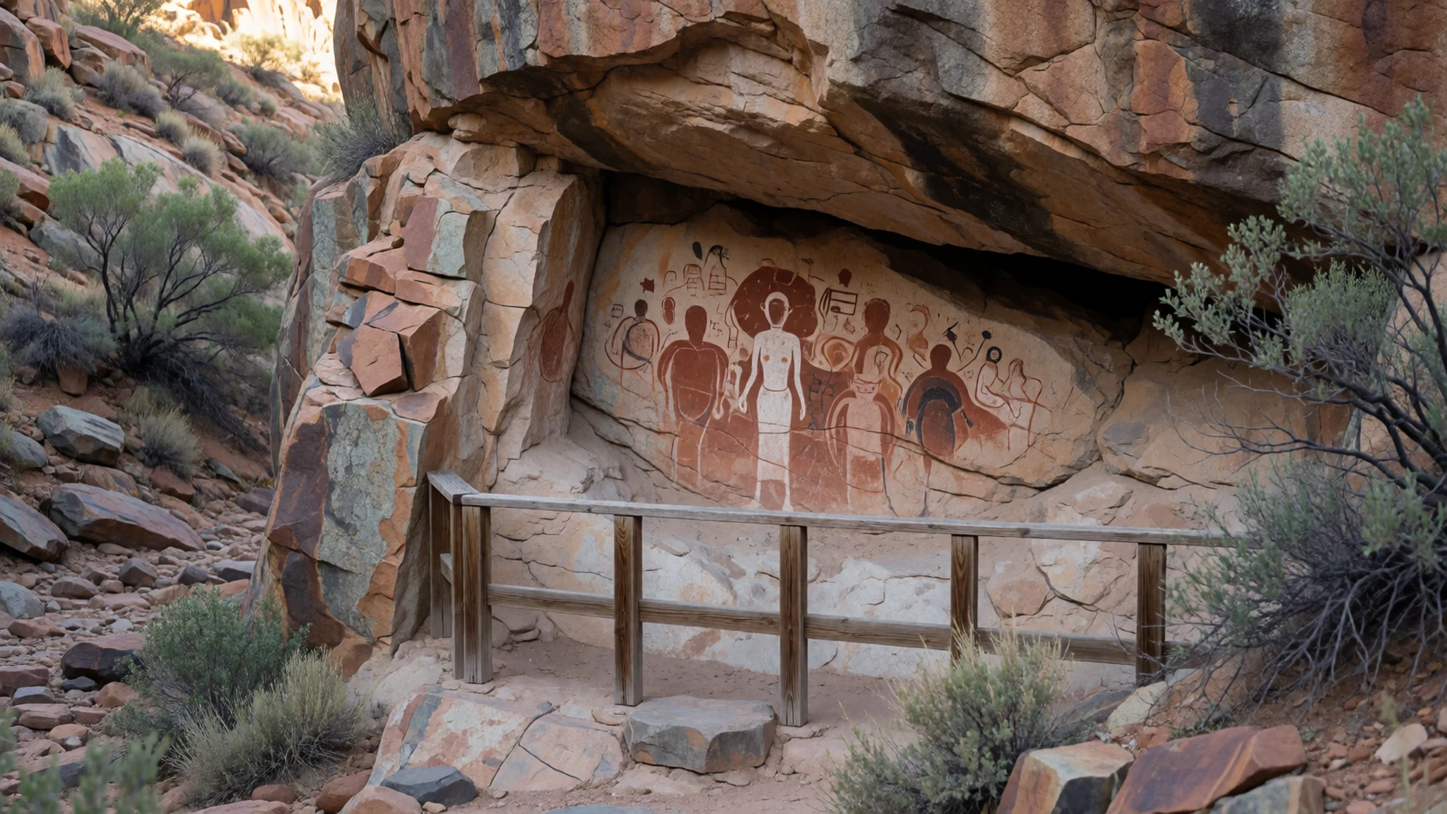
- The Ga'aseb river valley — western approach to the massif
The Ga'aseb river valley is the usual route to the summit, and it is also the steepest. The valley floor is sandy and boulder-strewn, and in wet years water pools in the bed. Carry all the water you need, keep to the marked track, and check with a guide about conditions before setting off.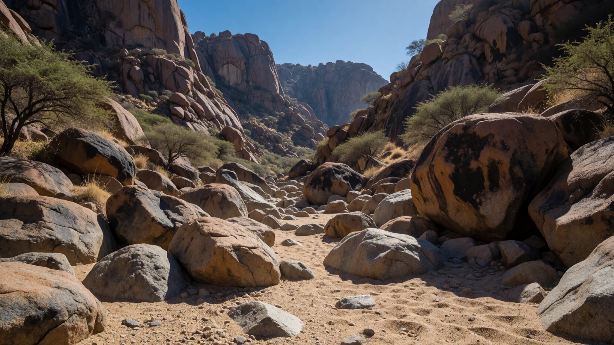
- The Moon Landscape — Swakopmund road, Erongo region
The Moon Landscape, east of Swakopmund, is an area of rock eroded by the Swakop River into eerie, unreal shapes. The road beyond runs through the Welwitschia Plains, where the strange, long-lived Welwitschia plants grow low to the ground. The track is rough and crosses sandy riverbeds, so a four-wheel-drive vehicle or an organised tour is the sensible choice.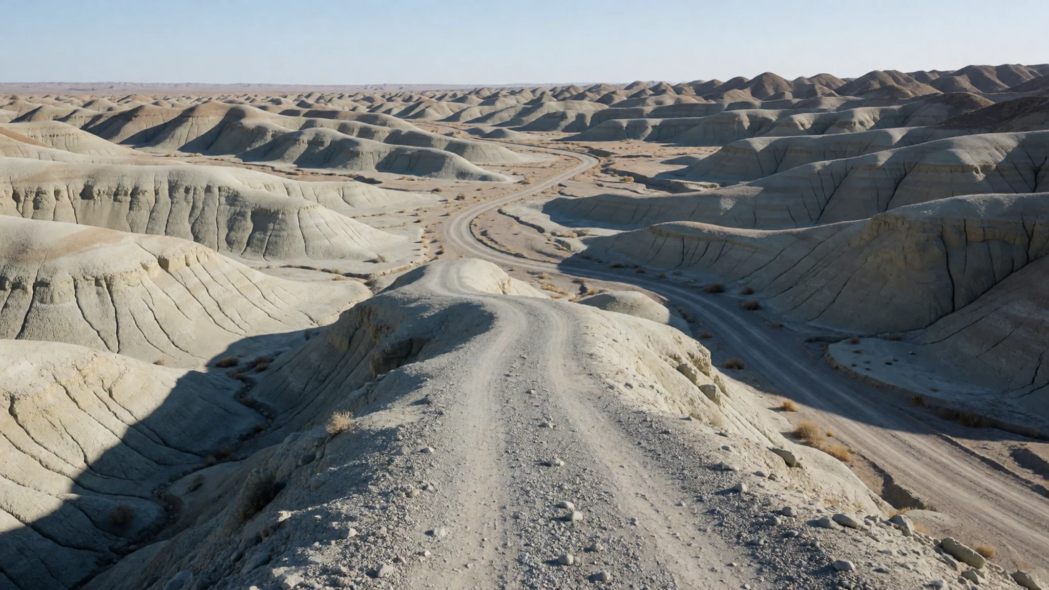
- Gobabeb research centre — Namib-Naukluft National Park
Gobabeb is an environmental research centre for desert conditions, and it studies how life survives in the Namib. It holds an annual open day when staff show visitors around. Outside that day, a visit may still be possible if the team agrees, so it is worth writing ahead. All roads to Gobabeb need a permit for Namib-Naukluft National Park.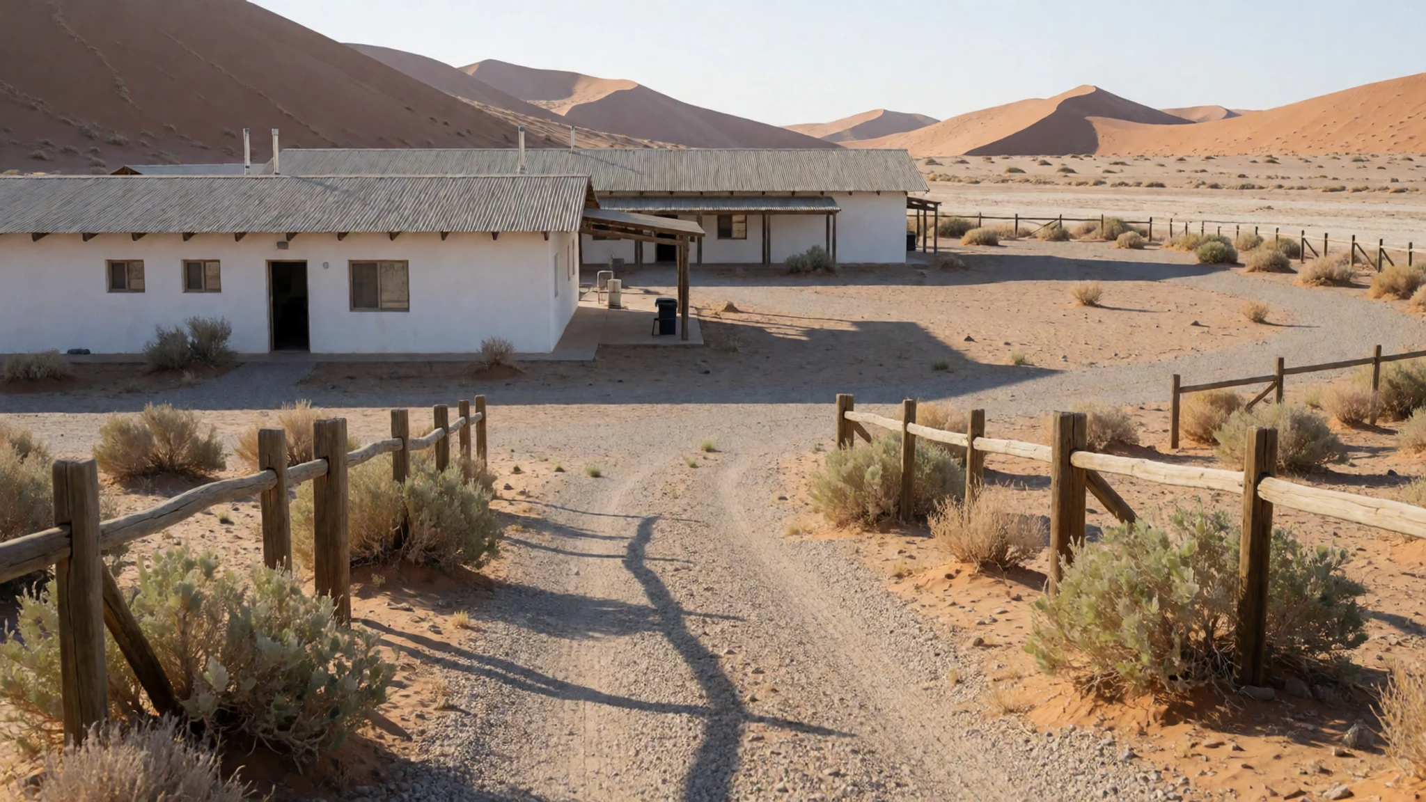
Culture
The Brandberg sits in land that Damara and Herero communities know well, and the mountain's names carry that history. Dâures and Omukuruvaro are used alongside the German name Königstein on maps and in conversation. Guides are usually local, and their work goes beyond route-finding: they decide which places to show, explain the rock art and share what they know about the valleys. Greetings matter in Namibia, so open with a brief hello before asking questions. Many families in villages welcome visitors but prefer to be asked before being photographed. Tipping guides and drivers is customary, and cash helps in small communities. Driving the Ugab riverbed brings you close to desert elephants, which use it as their route, so keep a respectful distance and treat any herd as the rightful residents. Keep to marked paths around the rock art and never touch or trace the paintings, because skin oils and chalk can damage them permanently.
What to wear
Traditional dress around Brandberg reflects the Herero and Damara peoples of the wider region. The best-known style is the Herero dress: a long, full-skirted gown of printed cotton, worn over layered petticoats, with a matching headdress shaped like a cow's horns. Women wear it at festivals, church services and ceremonies. The cut and fabric show a history of influence from nineteenth-century European dress, which Herero women adapted into a distinctly local identity. Men traditionally wore leather and skins, though these are now more often seen at cultural events than in daily life. Today most people wear everyday clothes of jeans, shirts, work boots and school uniforms, saving traditional dress for weddings, national days and cultural occasions. For a visitor, lightweight long-sleeved cotton or linen protects skin from sun and insects. A wide-brimmed hat suits the open plains, and a fleece or windproof layer is useful for cold desert nights. Sturdy closed shoes with good grip are essential for the rocky climb, and modest clothing is appreciated when visiting villages or community sites.
What to eat
- Potjiekos — guest farms and lodges around Uis
Potjiekos is a slow stew cooked in a three-legged cast-iron pot over coals, built up in layers of meat and vegetables. It is the classic dish for an evening around the fire. Ask at guest farms and lodges around Uis, where it is often served on evenings out.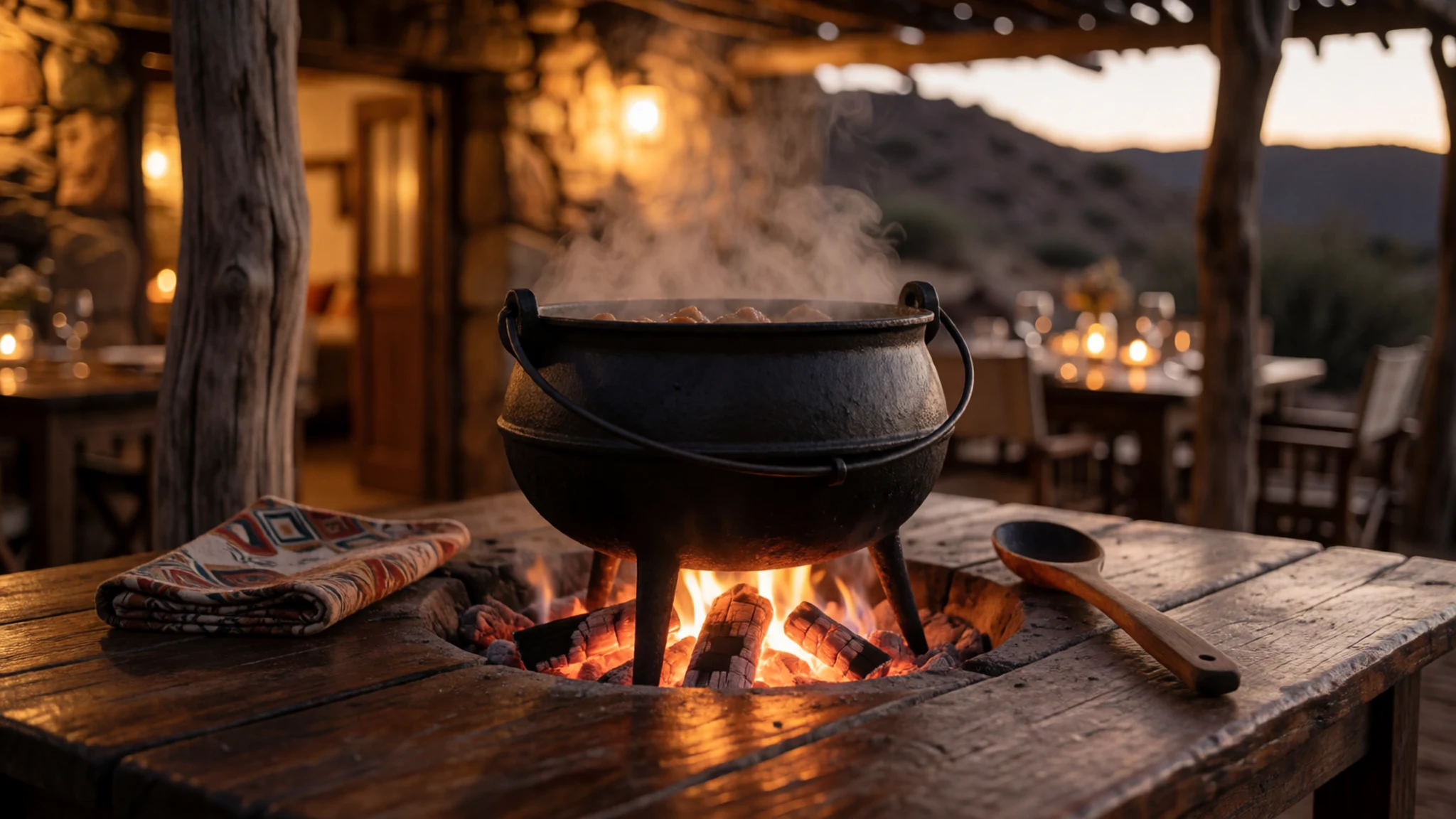
- Oysters from the Atlantic — seafront eateries and harbour fish stalls, Swakopmund and Walvis Bay
Oysters from the cold Atlantic are a coastal speciality, usually eaten raw with lemon. They are the easiest seafood to find near the water. The best places are the seafront eateries and fish stalls near the harbour, especially in the cooler months.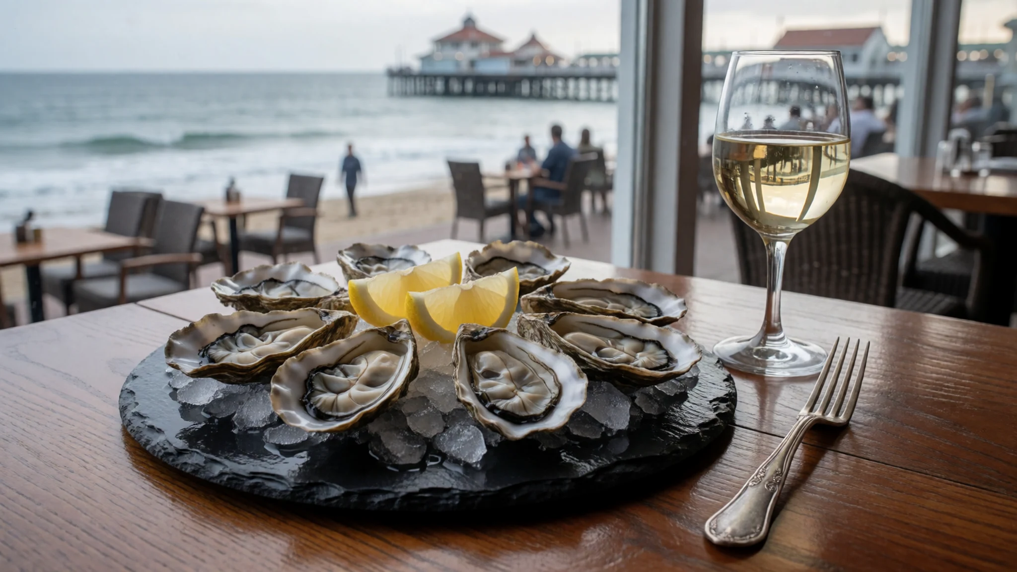
- Kapana — street stalls in town centres
Kapana is grilled meat, often beef, cut into small pieces and cooked over an open flame until crusted with spice. It is sold as street food from carts and small stalls. Choose a busy stall, where the turnover keeps the meat fresh and the queue moves quickly. - Oshifima with meat and gravy — community eateries and family homes in northern towns
Oshifima is a stiff maize porridge, eaten by hand and dipped into a rich meat or vegetable gravy. It is a staple across northern Namibia and is served in family homes and simple eateries. Ask a local family or a community-run eatery to show you how it is eaten. - Game meat on guest farms — guest farms in the Erongo region
Guest farms across Erongo often serve game meat such as oryx, springbok or kudu, grilled or in stews. It is a regular dinner course on farm stays. Ask what is on the menu before you book, and expect generous portions.
Plan it
Best time. May to September gives the most comfortable hiking, with cool mornings and milder midday heat. Summer brings intense heat and most of the year's rain, which can turn dry valleys briefly into torrents, so avoid the hottest weeks for the climb.
How long. 2–3
Getting there. Fly into Windhoek and hire a vehicle, since most travellers drive; a regional airport at Walvis Bay also has flights to Windhoek and Cape Town. The last leg is a gravel road from the coast or from Uis, so a four-wheel-drive vehicle is best. The overnight train from Windhoek to Walvis Bay is slow but cheap and saves a night of accommodation; bring a sleeping bag for the cold.
Budget. mid
Tips
- Book guided tours or four-wheel-drive transport in Swakopmund or Uis well ahead of busy periods
- Start walks at first light to avoid the midday heat
- Carry more water than you think you need, and check the forecast before any river crossing
- Carry cash, since card payment can be unreliable away from the towns
- Download maps and roadside information before leaving signal behind, as the notices on site can be faded
Etiquette
- Keep a safe distance from desert elephants and never block their path
- If an elephant shakes its head, stay in the vehicle, switch off the engine and keep quiet
- Ask permission before entering village land or photographing residents
Nearby
Sources
- Wikidata Q897834 (CC0)
- Wikipedia: Brandberg Mountain (rev 1373534574) (CC BY-SA 4.0)
- Wikivoyage: Erongo (rev 5264877) (CC BY-SA 4.0)
- Brand hires trimmed.jpg, Unknown author (Public domain)
- Brandberg Mountain Panorama, Joel Holdsworth (CC BY 3.0)
- Brandberg Mountain in morning light, Olga Ernst (CC BY-SA 4.0)
- White Lady, Brandberg, Harald Süpfle (CC BY-SA 2.5)
- Geological map of the Brandberg Alkaline Complex, Erongoguy (CC BY-SA 2.5)
- Wahlkreis Brandberg in Erongo, Foundert (CC BY-SA 2.0)
- Brandberg, Namibie, Angliers (CC BY-SA 4.0)
- African people at work, HJK2003 (CC BY-SA 4.0)


