Blyde River Canyon
Blyde River Canyon, South Africa
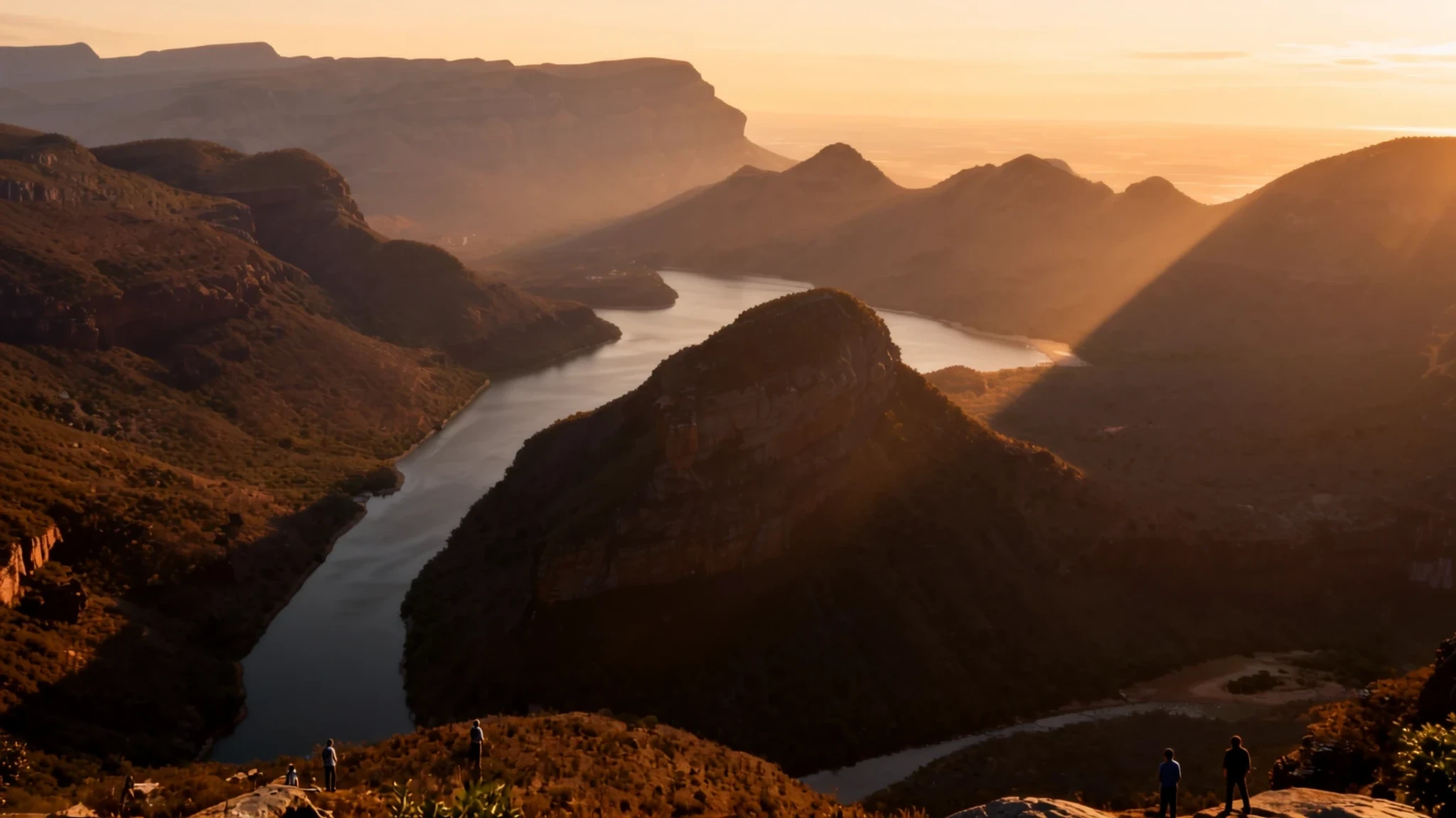
A lush, green mountain canyon where sandstone cliffs drop into subtropical forests, winding rivers, and dramatic escarpment viewpoints along South Africa's Panorama Route.
The place
Blyde River Canyon cuts through the lush green escarpment of Mpumalanga in South Africa. Unlike many of the world's arid gorges, this steep canyon is blanketed in subtropical foliage, fern-filled ravines, and thick indigenous woods. The river winds through sandstone cliffs, carved over millions of years into distinct geological features that tower above the valley floor. Thick Matumi trees line the riverbanks, while high cliffs offer expansive vistas across the low-lying plains stretching toward the border of Kruger National Park.
The canyon forms the backbone of the Blyde River Canyon Nature Reserve, protecting a diverse ecosystem where high-altitude grassland meets dense subtropical woodland. Primates, mountain birds, and various antelope species inhabit the valley slopes, while crocodiles and hippos occupy the lower reaches of the river and reservoir. The terrain varies from windswept bluffs where cool mountain air settles in the evening to humid riverbeds sheltered from the sun.
Along the rim, natural erosion has sculpted remarkable rock formations, including dome-shaped peaks that resemble traditional thatched rondavel huts and deep cylindrical holes hollowed out by swirling eddies. Roads trace the high western ridge, providing accessible viewpoints that look down over the green canyon floor. It remains a tranquil mountain sanctuary where natural erosion, running water, and lush plant growth meet along the edge of the Drakensberg escarpment.
Its story
The geological story of Blyde River Canyon began hundreds of millions of years ago when ancient rivers carved deep pathways through the hard quartzite layers of the Drakensberg escarpment. Over eons, water erosion exposed dramatic cliff faces and created unusual rock formations along the valley walls. The swirling currents of the river carried pebbles and grit that wore deep circular depressions into the riverbed where two water channels met, forming intricate natural basins that remain visible today.
In more recent history, human settlement and regional migration shaped the cultural memory of the canyon landscape. Local Pedi and Swazi communities navigated the river valleys and high ridges, using the steep terrain as natural defensive strongholds during historic territorial conflicts. Prominent rock formations along the escarpment carry names derived from regional chiefs and leaders who ruled the surrounding lands during these turbulent times.
The name Blyde itself carries a historic echo from mid-nineteenth-century European exploratory expeditions. Translating to river of joy in Dutch, the name was given by travellers who reunited with their families at the riverbank after fearing they had been lost in the interior. Today, the canyon stands protected within a regional nature reserve, preserved as a significant ecological corridor and geological monument along South Africa's eastern escarpment.
What to see
- Three Rondavels Viewpoint — Canyon Rim
Three Rondavels Viewpoint overlooks three massive quartzite rock formations with domed tops that resemble traditional round African thatched houses. Sitting high above the winding river and reservoir below, these natural peaks provide one of the most famous vantage points along the entire canyon rim.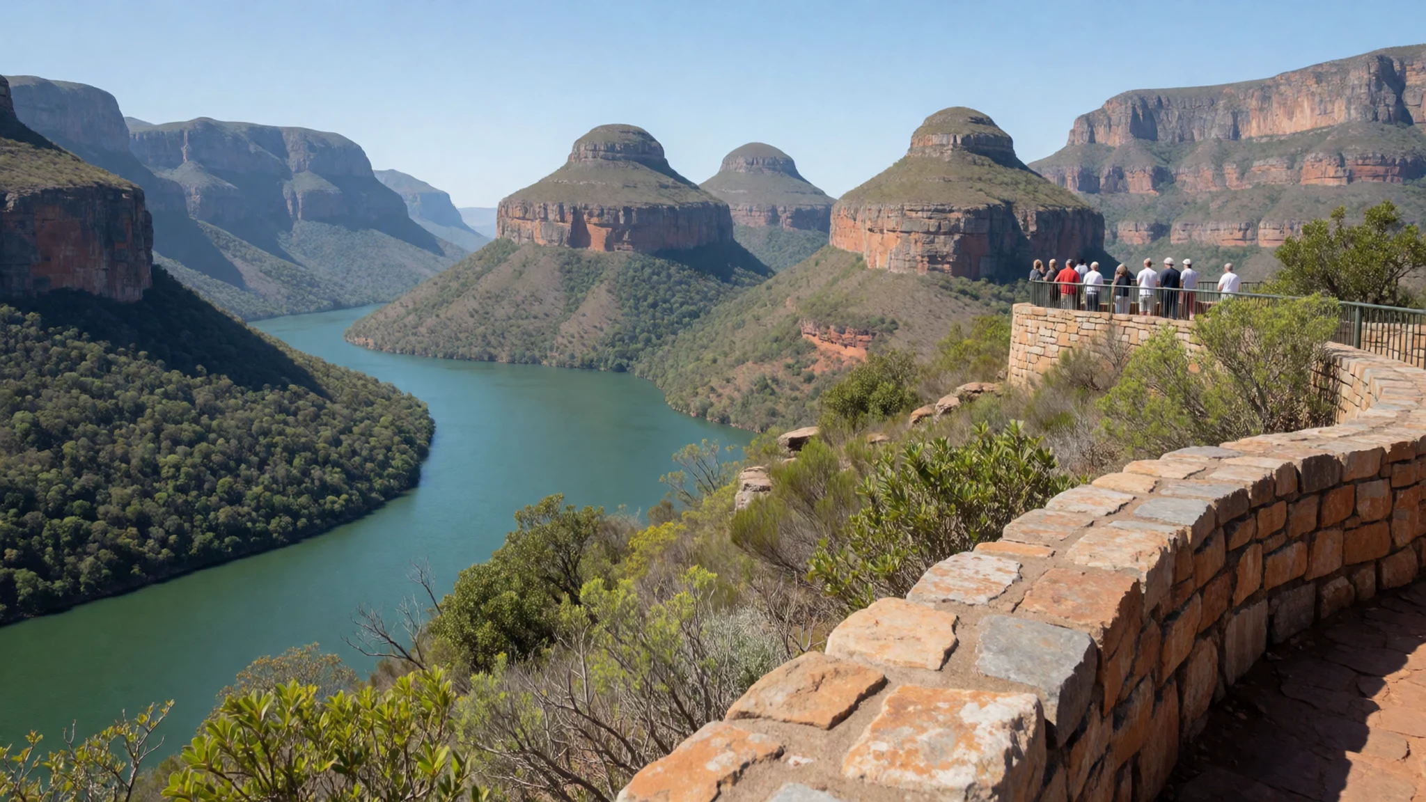
- Bourke's Luck Potholes — Blyde and Treue Confluence
Bourke's Luck Potholes feature smooth circular rock pools carved out at the confluence of the Blyde and Treue rivers. Over thousands of years, swirling river eddies loaded with sand and gravel hollowed deep cylindrical basins into the dark bedrock, which visitors can view from wooden footbridges spanning the gorge.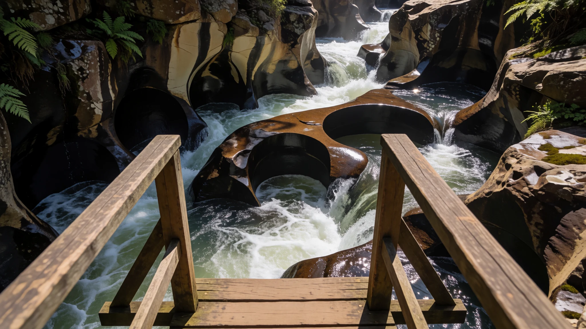
- God's Window — Panorama Route
God's Window offers panoramic views from the escarpment edge, looking down through a forested ravine to the expanse of the Lowveld below. On clear days, the sightline extends across the dense forest canopy towards the distant plains of Kruger National Park.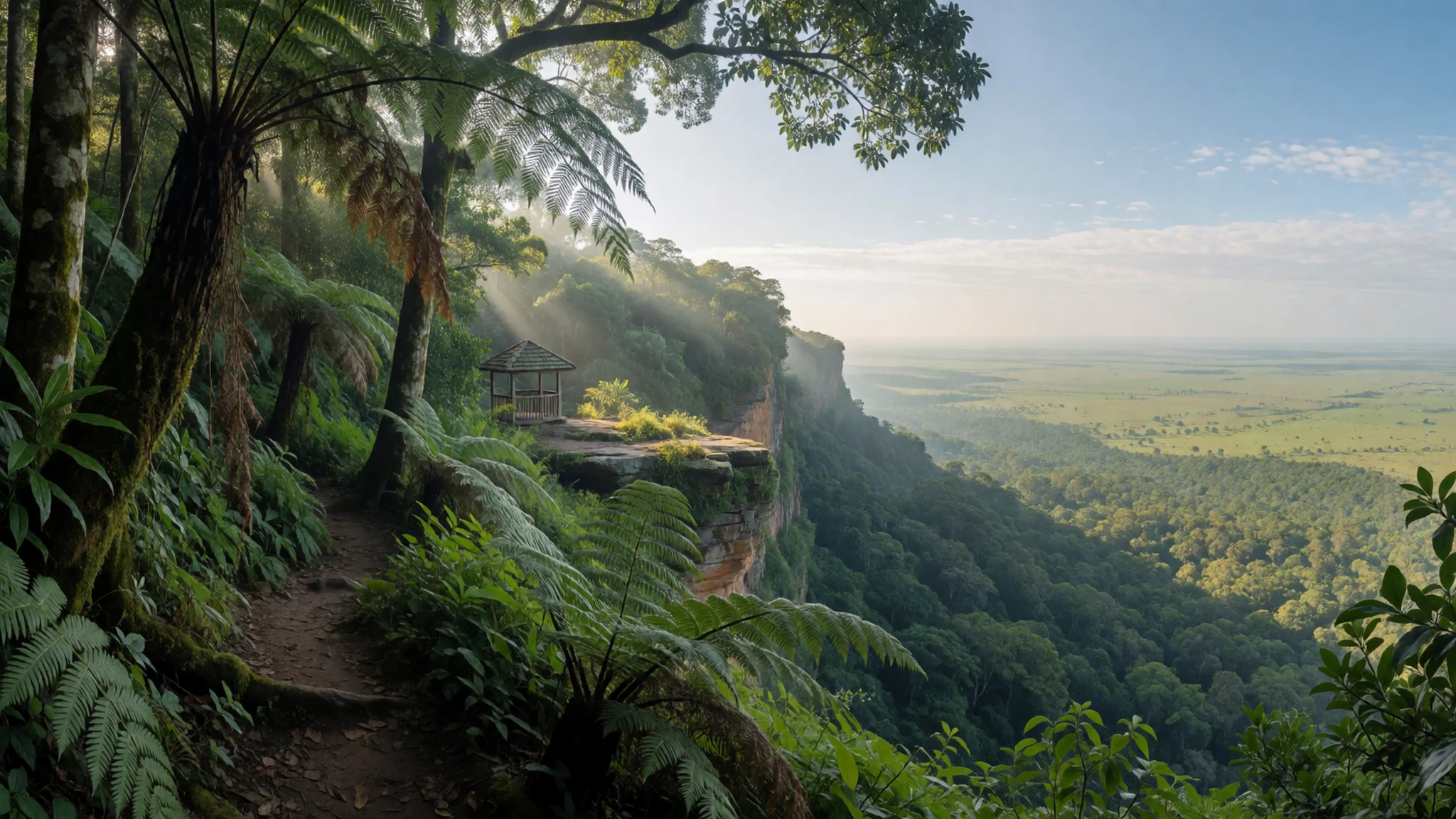
- Lisbon Falls — Graskop Area
Lisbon Falls drop down a sheer rock face into a deep wooden gorge south of the main canyon. Viewing platforms near the top offer clear perspectives of the torrent cascading into the canyon basin, surrounded by indigenous vegetation and cliffside footpaths.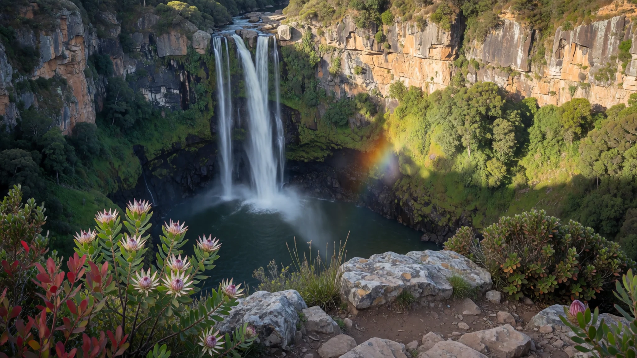
- The Pinnacle — South Escarpment
The Pinnacle is a quartzite pillar that rises high above the surrounding forested ravine. A short walking track from the parking area leads to dedicated viewing platforms that offer sharp angles looking straight across at this solitary rock formation.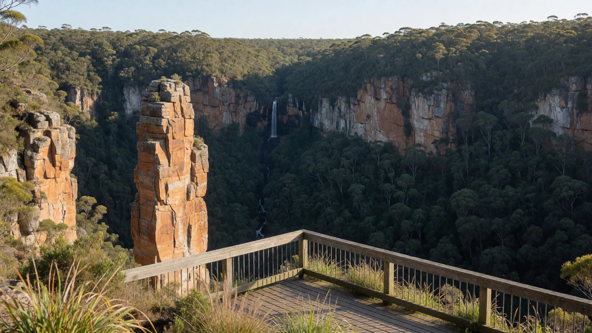
Culture
The region surrounding Blyde River Canyon is steeped in the traditions of the Northern Sotho, Pedi, and Swazi communities who have inhabited the Mpumalanga highlands for generations. Traditional architecture in rural settlements historically featured round dwellings known as rondavels, built with mud walls and conical thatched roofs designed to shed heavy seasonal rainfall. The names of landmarks along the gorge reflect both indigenous heritage and the history of European settlers and gold prospectors who passed through these valleys.
Local communities maintain strong connections to the land, utilizing indigenous mountain plants for traditional medicine and regional crafts. Craftspeople along the Panorama Route weave basketry from river reeds and carve wooden items from local timber, selling handiwork at small roadside stalls near key viewpoints. Storytelling remains a cherished custom, keeping alive tales of regional battles, river spirits, and legendary chiefs whose names are tied to the canyon walls.
Always ask permission before photographing local artisans or residents at craft stalls and roadside viewpoints along the escarpment.
What to wear
Traditional attire among the Sepedi and Swazi people of Mpumalanga features vibrant colours and distinctive cloth patterns worn during ceremonies and cultural celebrations. Sepedi traditional dress includes colourful pleated skirts known as mose or hete, often paired with bright headscarves (duku) and beaded aprons or necklaces made with intricate geometric designs. Swazi cultural wear incorporates colourful printed cloth draped over the shoulder and held with woven belts.
In everyday life across the towns and settlements near the canyon, residents dress in practical modern casual clothing such as trousers, denim jackets, t-shirts, and sturdy footwear suited for mountain living and active outdoor work.
Visitors exploring Blyde River Canyon should prepare for variable mountain weather and uneven rock terrain. Breathable cotton t-shirts, comfortable hiking shorts or trousers, and sturdy walking shoes with good tread are essential for navigating rock platforms and footpaths around the viewpoints. Mornings and evenings at high elevations can feel brisk, so a warm fleece or windproof jacket is recommended, along with a wide-brimmed hat and sunscreen for protection against strong high-altitude sunlight.
What to eat
- Biltong and Droëwors — Roadside stalls and farm shops along the escarpment
Cured, spiced dried meat and dried sausage are staple snacks across Mpumalanga. Local butchers and roadside farm stalls along the Panorama Route sell various cuts, perfect for keeping energy up while driving or hiking along the escarpment.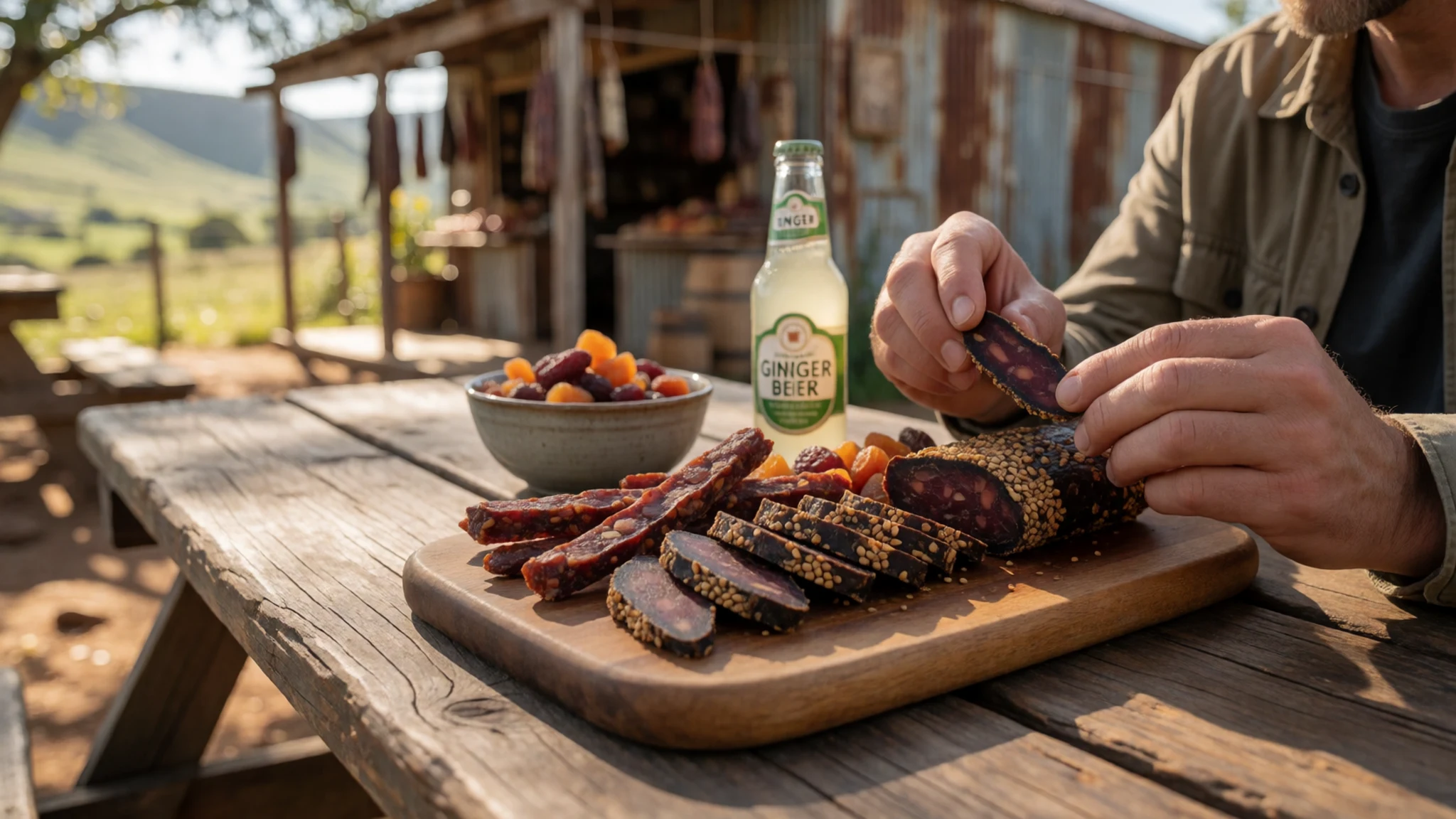
- Braaivleis — Rest camps and picnic sites near Graskop
Traditional South African grilled meats, including boerewors sausage, lamb chops, and marinated steaks, cooked over open wood fires. Best enjoyed at forest picnic sites, rest camps, and guest lodge outdoor braai areas near Graskop.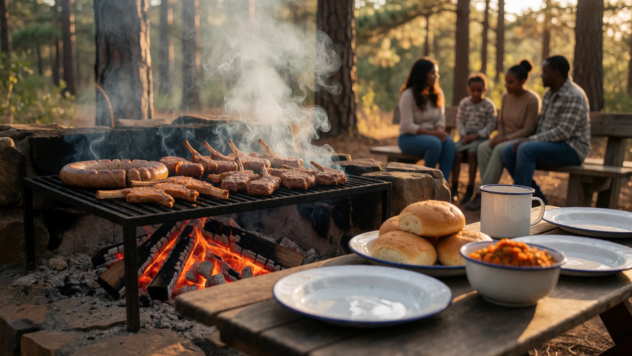
- Graskop Pancakes — Bakeries and casual cafes in Graskop
Sweet and savoury crepes stuffed with cinnamon sugar, savoury mince, or tropical fruit fillings. A beloved local culinary stop served at rustic cafes and family bakeries in the nearby town of Graskop. - Pap and Chakalaka — Local eateries and roadside kitchens near the reserve
A dense maize meal porridge served with a spicy vegetable relish made of tomatoes, peppers, beans, and onions. Available at local eateries and traditional roadside kitchens throughout the towns bordering the nature reserve.
Plan it
Best time. May–September brings dry, clear weather with mild days and cool nights, ideal for walking and viewing; October–April sees summer heat, high humidity, and afternoon thunderstorms.
How long. 2–3
Getting there. Fly into Kruger Mpumalanga International Airport near Mbombela, then drive north on the R532 highway through Graskop to access the Panorama Route and canyon viewpoints.
Budget. mid
Tips
- Start early in the morning to enjoy clear views before afternoon clouds roll across the escarpment
- Carry small change or cash for entry fees at individual viewpoint gates along the route
- Pack a light jacket as high-altitude viewpoints can be windy and cooler than the lowveld
Etiquette
- Stay on designated paths and behind safety barriers at high cliff edges
- Take all trash back with you to keep nature reserve trails clean
Nearby
Sources
- Wikidata Q886892 (CC0)
- Wikipedia (rev 1377036373) (CC BY-SA 4.0)
- Wikivoyage (rev 5395398) (CC BY-SA 4.0)
- Photo photos/01-blyde-river-canyon-mpumalanga-south-africa-20328002030.jpg (CC BY 2.5)
- Photo photos/02-20131119-162543b.jpg (CC BY 3.0)
- Photo photos/03-blyde-river-canyon-mpumalanga.jpg (CC BY-SA 4.0)
- Photo photos/04-blyderivercanyonviewofasideofacliff.jpg (CC BY 3.0)
- Photo photos/05-panorama-route-part-i-blyde-river-canyon-panorama3835.jpg (CC0)
- Photo photos/06-weepingfaceofnatureinblyderivercanyon.jpg (CC BY 3.0)
- Photo photos/07-blyderiversouthafrica-7.jpg (CC BY 3.0)
- Photo photos/08-the-three-rondavels-blyde-river-canyon.jpg (CC BY-SA 4.0)


