Blue Nile Falls
Blue Nile Falls, Ethiopia
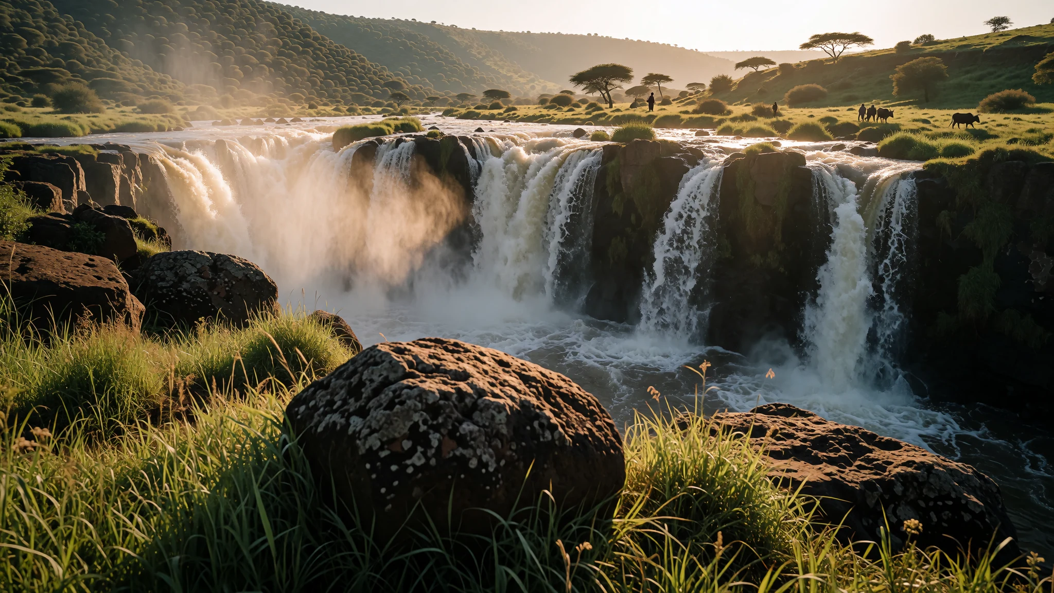
Blue Nile Falls is the best-known waterfall in Ethiopia's highlands, and it is worth seeing when the river is at its fullest, during the heavy rains.
The place
Blue Nile Falls sit on the upper course of the Blue Nile in South Gondar, within Ethiopia's Amhara Region. Locals call them Tis Abay, a name often glossed as 'great smoke', and the falls are among the country's best-known sights. They lie about 30 kilometres downstream of Bahir Dar, the lakeside city on Lake Tana where the river begins its run through the highlands.
The fall is 42 metres high and breaks into four streams. Its character changes sharply with the seasons. In the dry months the flow thins to a few strands of water over dark rock. During the rains the whole face widens dramatically and the spray can be seen from a distance. A power station upstream now takes much of the water away outside the wet season, so the falls are at their most dramatic during the wet season itself.
The falls also matter for nature. They form a barrier between Lake Tana and the rest of the Nile system, which has helped the lake develop fish and other animals found nowhere else. The land around them is typical of the Ethiopian Highlands, a landscape with many species found only in this part of the world. Farms and villages surround the site, so the setting feels working rather than preserved.
Most visitors come as a day trip from Bahir Dar, often combining the falls with a boat trip on the lake.
Its story
Long before the falls drew visitors, the Blue Nile here was a barrier. Travellers and armies crossed it by ford or ferry, and the rush of water in the rains made both risky. In 1626 the emperor Susenyos ordered a bridge built a short distance below the falls. It became the first stone bridge constructed in Ethiopia.
The stone for lime, needed for mortar, was found along the Alata, a tributary of the Blue Nile close by. Manuel de Almeida, a Jesuit writing about the mission, recorded the work. The artisan who oversaw the work arrived in Ethiopia from India in the company of Patriarch Afonso Mendes, a Catholic leader. That detail shows how foreign skills and clergy were drawn into imperial building projects at the time.
The crossing kept the river woven into the imperial story. Later, the emperor Tewodros was shown supervising another crossing of the Blue Nile, a scene preserved in an old picture. Such images make clear that the river was as much a military problem as a natural wonder.
In the modern era the story has shifted towards power and water. A hydro-electric station now draws much of the river's flow away outside the rains, so the falls that the bridge's builders once knew in full force are often a thinner version of themselves. The balance between generating power and keeping the falls running is a live question for the region.
What to see
- Blue Nile Falls — South Gondar, about 30 kilometres from Bahir Dar
The falls themselves are the reason to come. The 42-metre face is best seen during the heavy rains, when the water spreads across the whole width of the rock. In the dry season the view is thinner and the rock is more exposed. Viewpoints are reached on foot over uneven ground, so sturdy shoes make a real difference. Go in the morning, when the light is clearer and the spray has not yet built into haze.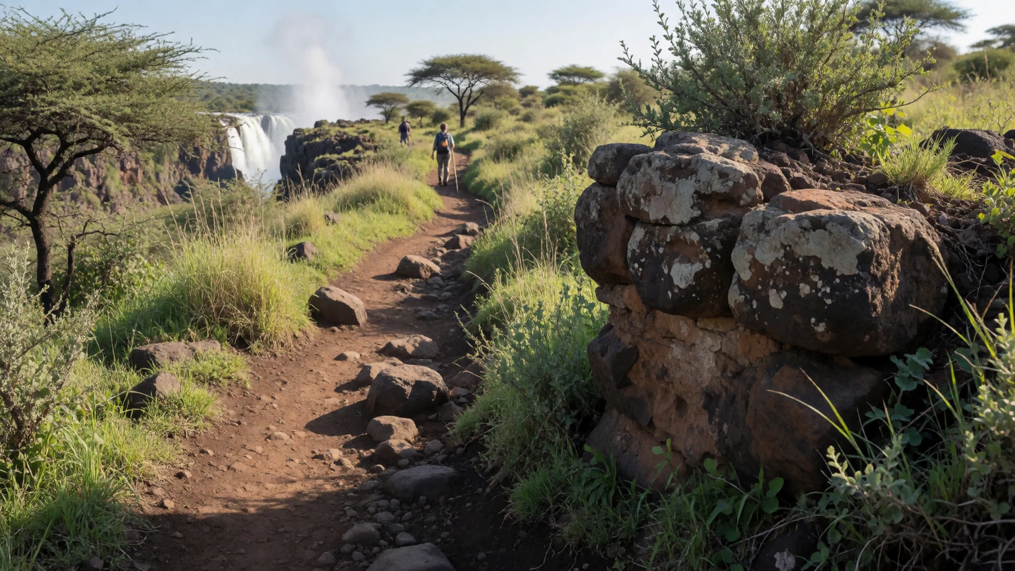
- The 1626 stone bridge — Just below the falls, on the same river
A short walk downstream from the falls stands the stone bridge ordered by Emperor Susenyos in 1626. It is a practical piece of early masonry rather than a grand monument, and its arches show the work of builders who had to bring in lime and expertise from outside the region. Pause on it to picture the river in flood, and to read the old crossing as a lesson in how the Nile's tributaries shaped travel.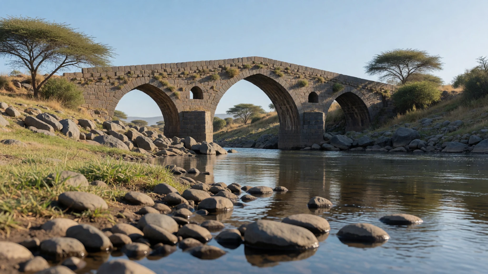
- Lake Tana shoreline — Bahir Dar, Lake Tana
Bahir Dar sits on the edge of Lake Tana, the source of the river that later drops over the falls. Boats can be hired for short trips out on the water, and the lakeside walks give a sense of how the river begins. Early mornings bring fishermen and calm water. Expect the lakeside to be busier in the afternoons, when day-trip groups and local traders arrive.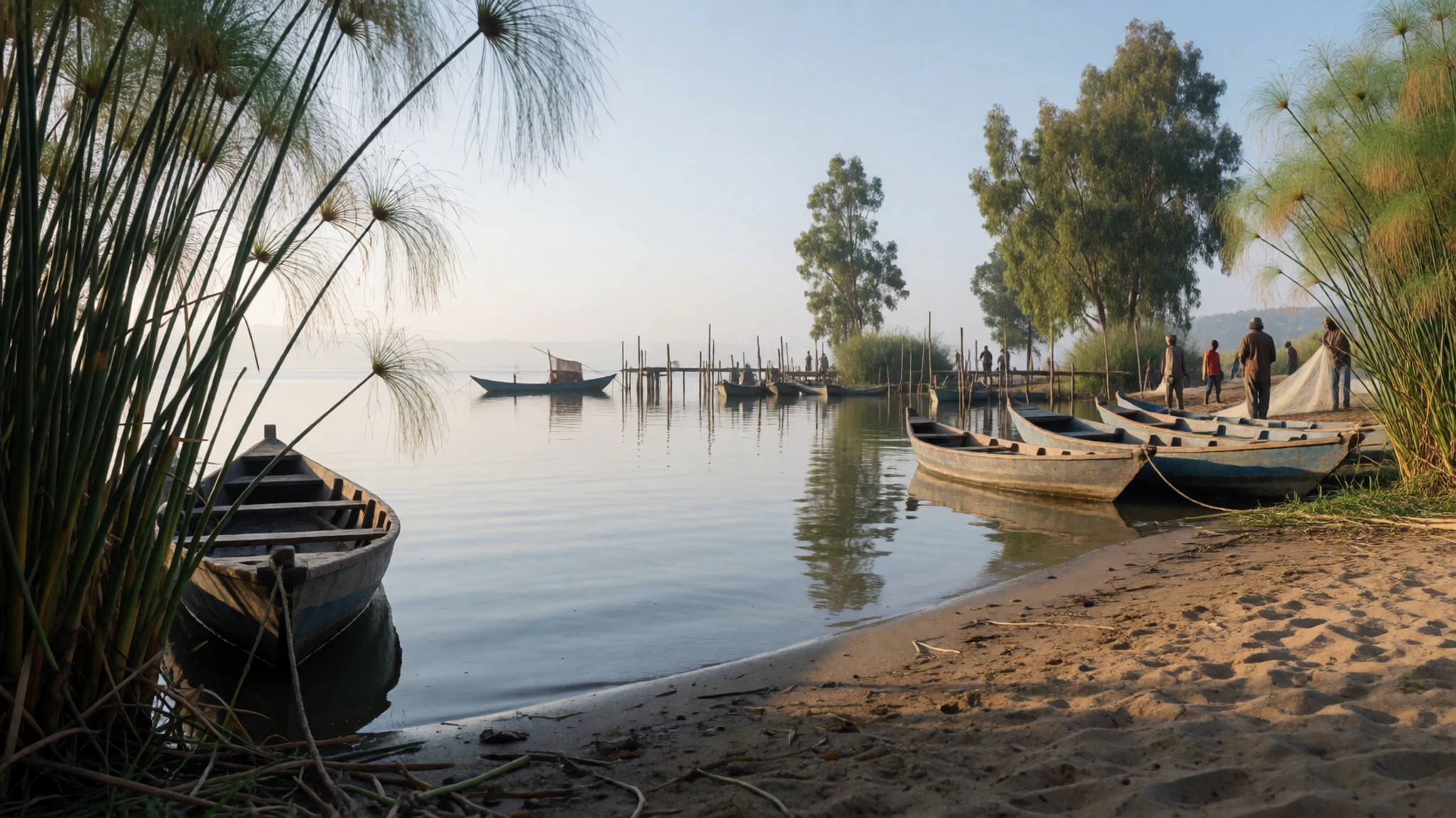
- Castles of Gondar — Gondar, a road journey north of Bahir Dar
Gondar, north of Bahir Dar, was once a royal capital, and its castle compound is one of the best-known historic sites in the highlands. The stone walls and towers show the imperial court's taste for building, and the setting feels distinctly Ethiopian rather than generic. It makes a good second stop for those who have time, reached by road from the lake city.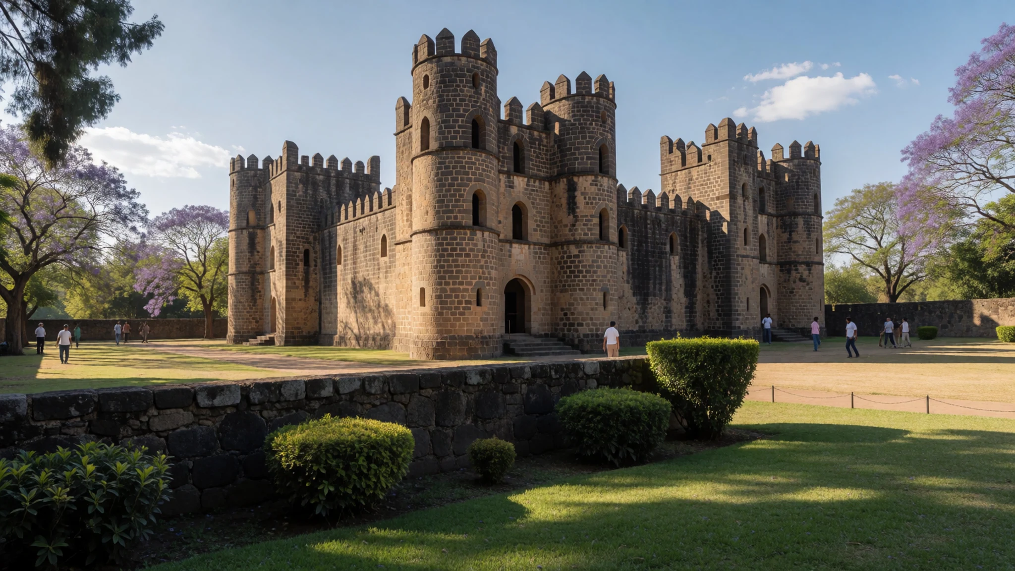
Culture
Blue Nile Falls lies in Amhara, a region where Orthodox Christianity shapes daily life, the church calendar and many local customs. Visitors meet farmers, boatmen and vendors near the falls, and most people are welcoming to foreigners who show interest and courtesy. Greetings matter. A handshake followed by a few words of Amharic goes further than rushing straight to a question. Women are expected to dress modestly in villages and towns, and many older women cover their hair in church. Conversation is often unhurried, so allow time for tea and talk rather than treating every exchange as a transaction. Photographing people at the falls or in villages should be done only after asking, and tipping should follow a service rather than a request. Around the churches and monasteries of the wider highlands, the rule is firm: take your shoes off before stepping onto church floors and ask before photographing anyone at prayer.
What to wear
The traditional dress around the Blue Nile is the habesha kemis, a long white cotton dress often worn with a netela, a light woven shawl with coloured borders. The shawl is draped over the shoulders in church and on holidays. Both are woven from cotton on hand looms, and the borders are typically bands of colour or fine embroidery. Men wear white cotton trousers and shirts, or a netela, at festivals.
Today, around Bahir Dar and Gondar, many people wear western clothes in daily life: jeans, t-shirts, football shirts and trainers. The white dress and shawl are kept for church, weddings and major holidays.
Visitors should choose light, loose clothing that covers the shoulders and knees, since the sun is strong in the highlands. Carry a light scarf to cover your head and shoulders when entering a church. For the terrain, bring closed walking shoes with good grip, because rocks and village paths get slippery in the rainy season. A lightweight waterproof jacket is useful from June to September.
What to eat
- Injera with wat — Restaurants around Bahir Dar's town centre
Injera is a sour, spongy teff flatbread that doubles as plate and spoon. Tear it and scoop up wat, the slow-cooked stews of lentils or meat spiced with berbere. Eateries around Bahir Dar's centre serve it on one shared platter.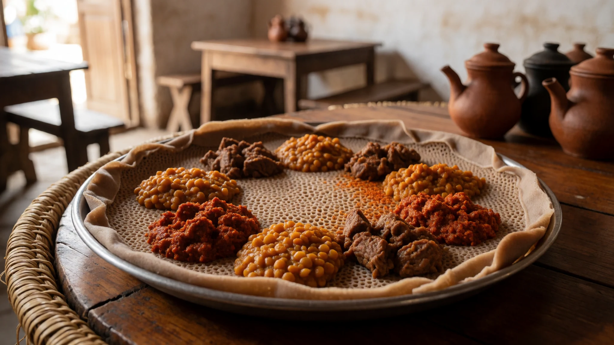
- Tibs — Roadside restaurants near Bahir Dar's bus station
Tibs are small cubes of beef or lamb sautéed quickly with onion, green chilli and spices, served sizzling in a small pan. Order it at a simple roadside restaurant near the bus station, where it arrives fast and is good with injera.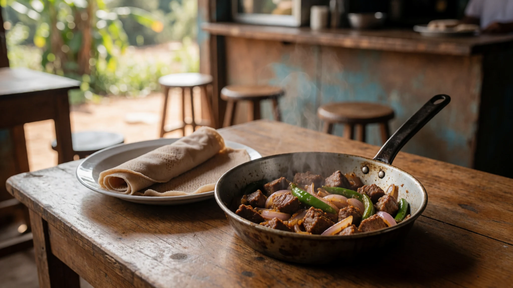
- Shiro — Small family restaurants in town
Shiro is a smooth stew of ground chickpeas or broad beans, cooked with garlic, onion and berbere, and it suits a quiet lunch. Look for it at small family restaurants in town, or on fasting days in the Orthodox calendar, when many restaurants serve only vegetarian food. - Buna — Cafés by the lake in Bahir Dar, or any town square
Buna is coffee roasted, ground and brewed in front of guests, usually in a clay pot called a jebena, and served in tiny cups. Take it late in the morning at a café by the lake in Bahir Dar, or in any town square.
Plan it
Best time. July and August, when the rains are heaviest and the falls carry their greatest flow. From December to May the falls are thinner and the views clearer. The main rains come June to August, which makes roads slippery and can hide the falls in mist, though the water is at its fullest.
How long. 2–3
Getting there. Bahir Dar Ginbot Haya Airport (BJR) is the nearest airport, with a short road transfer to the falls. Gondar Airport (GDQ) is an alternative if you are combining the falls with the castles.
Budget. low
Tips
- Book a driver or guide through a reputable tour operator in Bahir Dar
- Go in the morning for clearer views and calmer paths
- Carry cash in birr, as card payment is limited outside the main hotels
- Bring water, sun cover and sturdy shoes for slippery rock
- Check your government's current travel advice before you go, as conditions in northern Ethiopia have been unsettled since the recent civil war
Etiquette
- Ask before photographing people, especially at churches
- Dress modestly and cover your head in churches
- Take your shoes off before entering church buildings
Nearby
Sources
- Wikidata Q1266055 (CC0)
- Wikipedia: Blue Nile Falls (rev 1359347819) (CC BY-SA 4.0)
- Wikivoyage: Amhara (rev 5312996) (CC BY-SA 4.0)
- Blue Nile Falls-03, by CT Snow (CC BY 2.5)
- Blue Nile falls in 2018 dry season, Geertchaos (CC BY-SA 4.0)
- Emp Tewodros supervising crossing of the Blue Nile (Public domain)
- Abay, Blue nile fountain, Fofyfo (CC BY-SA 4.0)
- Blue Nile Falls (1), Radosław Botev (CC BY 3.0 pl)
- Blue Nile Falls (153755334), Alastair Rae (CC BY-SA 2.0)
- Blue Nile Falls (2), Radosław Botev (CC BY 3.0 pl)
- Blue Nile Falls (3), Radosław Botev (CC BY 3.0 pl)


