Black Forest
Black Forest, Germany
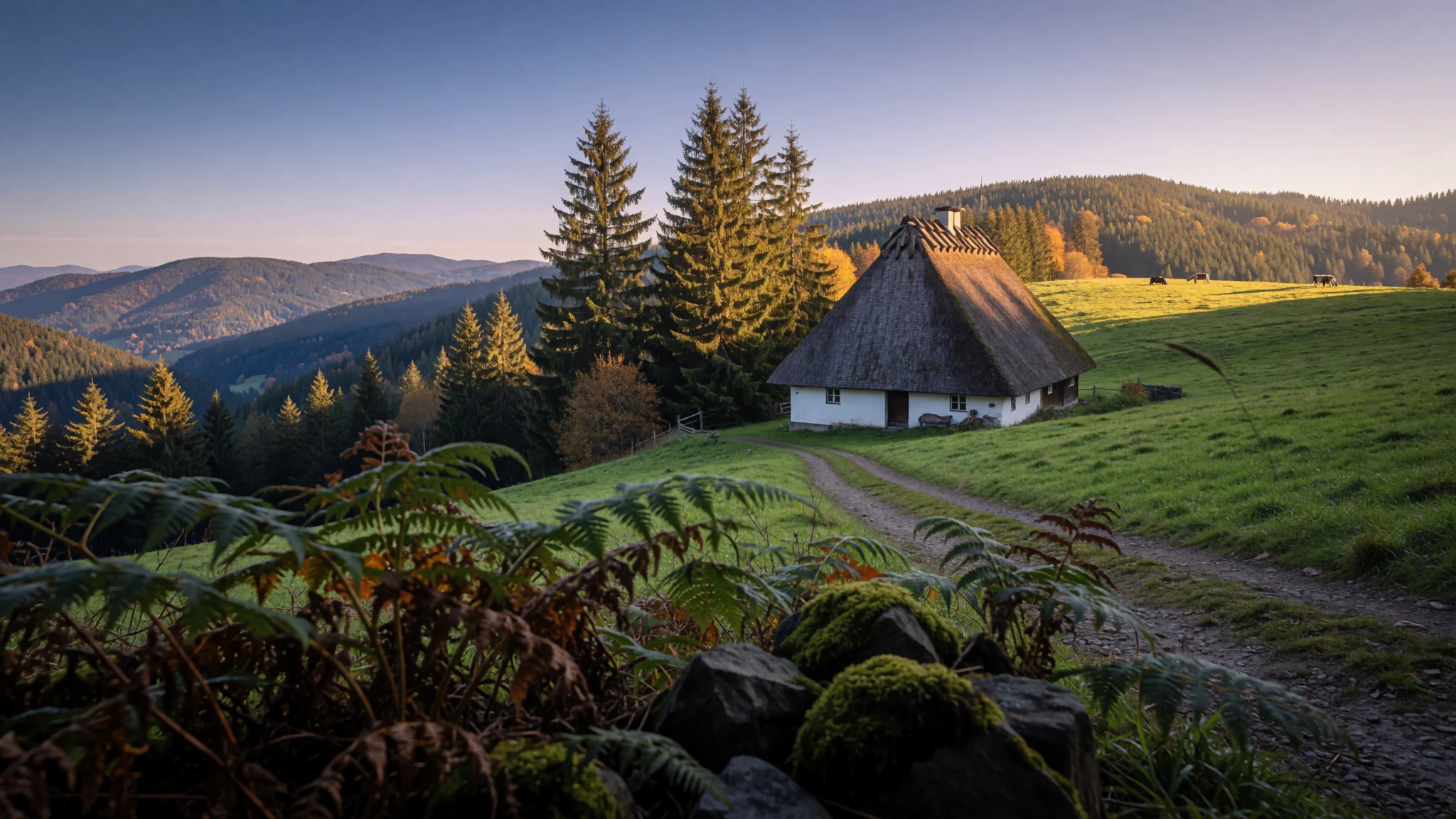
Forested ridges, steep valleys and farmhouses under sweeping roofs make the Black Forest a green escape in southwest Germany.
The place
Known in German as Schwarzwald, the Black Forest is an extensive wooded upland in southwestern Germany, within the state of Baden-Württemberg. It sits between the Rhine plain and the borders with France and Switzerland. It runs roughly 160 km from the High Rhine in the south to the Kraichgau in the north, and at its widest it reaches about 50 km across. The highest point is the Feldberg, at 1,493 metres above sea level, so the range is better understood as a set of high wooded plateaus cut by river valleys than as a single dramatic peak.
Two major rivers begin in these hills. The Danube and the Neckar both rise here, and the streams feeding them run through narrow valleys that were once worked for timber and ore. Settlement is scattered rather than gathered into big towns. A few larger places, among them Freiburg, a historic university city, anchor the region, while most of the landscape is farms, forest and pasture.
The outdoors is the main draw. Tourism is now the region's principal industry, and the range has a dense network of marked walking routes and mountain bike trails. Lakes offer summer swimming, and on the higher ground ski runs operate from about December to March. Weekends bring the most walkers to the Feldberg area in clear weather, so weekday visits in shoulder seasons feel noticeably quieter.
Its story
The Black Forest was known to Celtic peoples as Abnoba mons, after the deity Abnoba, and the Romans later called it Silva Marciana, a name built from a Germanic word for border. The forest probably formed a frontier zone for the Marcomanni, who lived just beyond the Roman limes. They belonged to the Suebi, whose name was later given to the historic state of Swabia.
The Romans held only the edges. They ran baths at Badenweiler, worked mines near Badenweiler and Sulzburg, and built the Kinzigtalstraße road, but they did not settle the interior. That task fell to the Alemanni, who first took up the river valleys and then pushed upward through the trees. Their advance crossed what historians call the red sandstone border, and by the end of the 10th century settlements had reached the red (bunter) sandstone country. Rötenbach, first mentioned in 819, is one of the early names on record.
For centuries the forest supplied timber and ore, and its remote valleys were hard to govern. Ruined military fortifications from the 17th century still stand in places, a reminder of the region's military history. Its villages were also a source of unrest. Several uprisings, including the Bundschuh movement, began here in the run-up to the 16th century German Peasants' War. Only much later did tourism replace forestry and mining as the main livelihood.
What to see
- Schwarzwaldhochstraße — Northern Black Forest, between Freudenstadt and Baden-Baden
A scenic road that threads through the range between Freudenstadt and Baden-Baden, running along the ridges so that views open into the valleys on either side. It is the easiest way to see the forest from a car. Stop at the lookouts and roadside walks to break up the drive, and allow more time than the map suggests.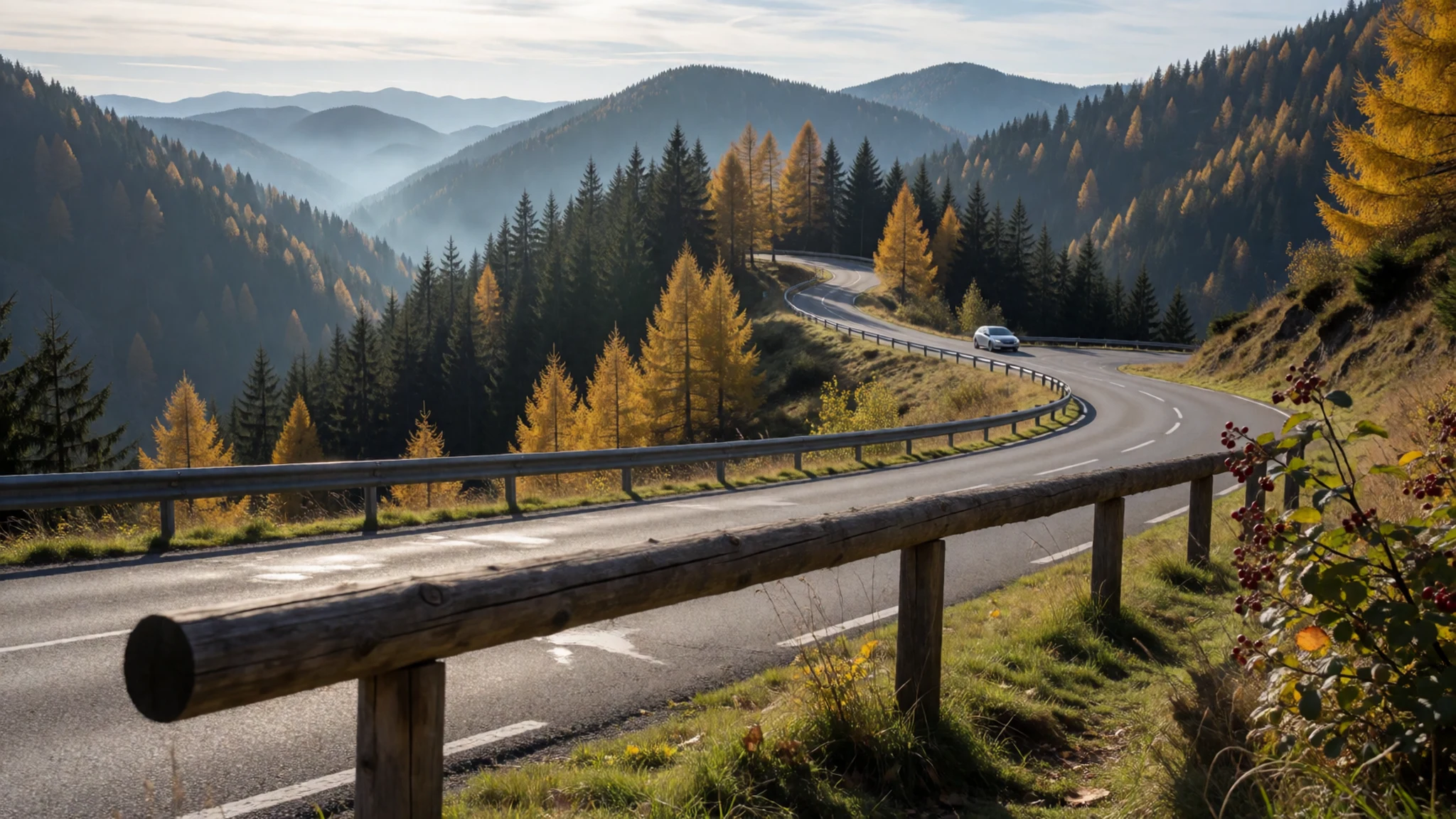
- Mummelsee — Northern Black Forest, beside the Schwarzwaldhochstraße
A small lake beside the Hochstraße, a short walk from the road. Expect a steady stream of visitors on fine weekends, so a weekday morning or late afternoon is calmer. Bring a jacket, because the air cools quickly at this height.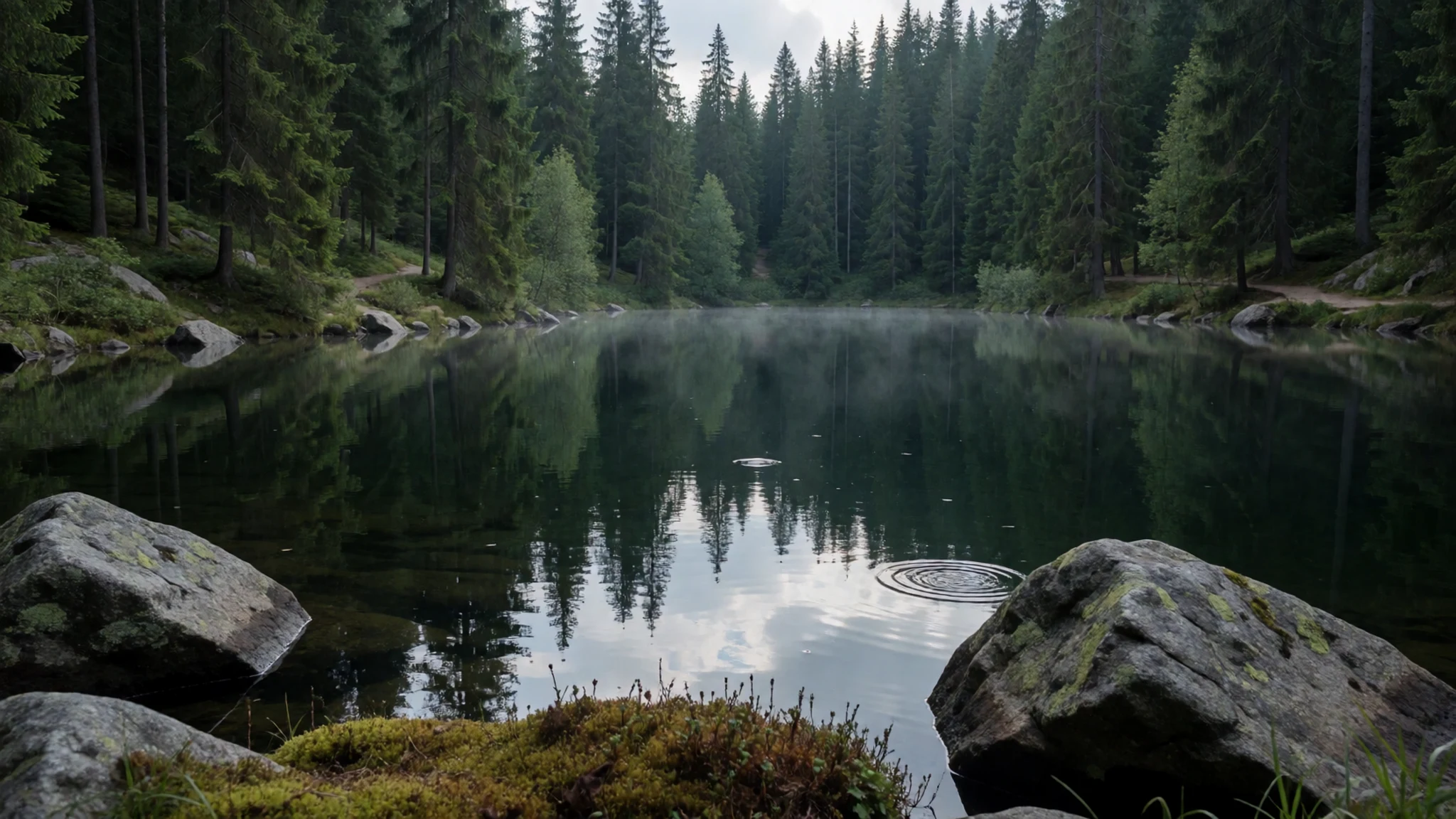
- Deutsches Uhrenmuseum — Furtwangen, along the Schwarzwaldhochstraße
The German Clock Museum in Furtwangen is reckoned to hold the largest collection of Black Forest and cuckoo clocks, which makes it a fitting stop for anyone curious about the regional craft. Allow an hour or two. Check opening times on the official museum site before you set off.
- Kloster Maulbronn — Maulbronn, near Pforzheim on the northern side of the range
A medieval Cistercian monastery near Pforzheim, so well preserved that it is a UNESCO World Heritage site. Its courtyards and buildings give a clear picture of monastic life, and guided visits explain how the complex was arranged. Plan a half day and check tour times in advance.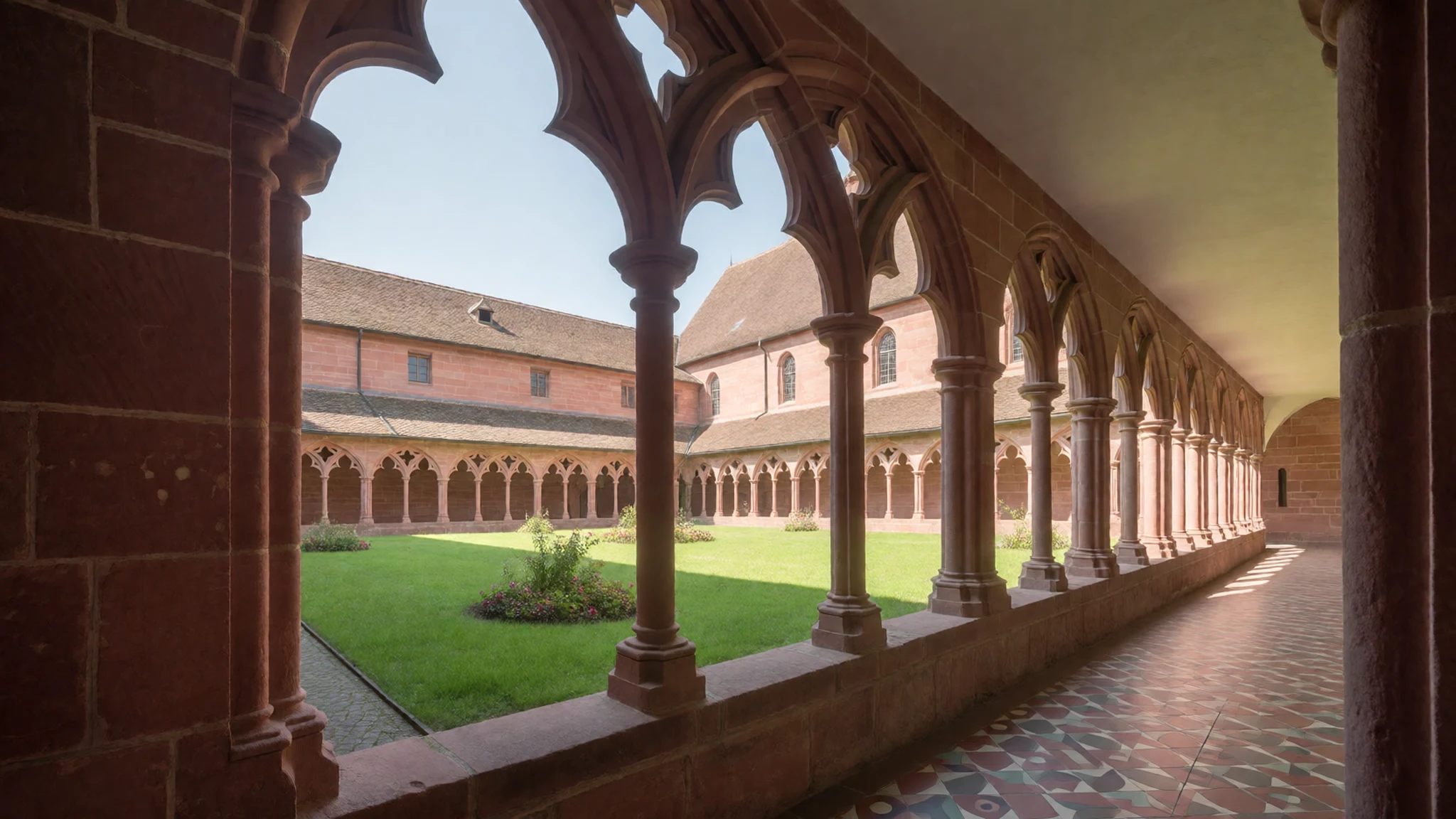
- Feldberg — Southern Black Forest, the highest summit of the range
The highest point of the range, at 1,493 metres above sea level. Walkers reach the summit on marked paths, and in winter the slopes are a ski area. The open top gives wide views when cloud allows, but the weather can change fast, so carry a warm layer even in summer.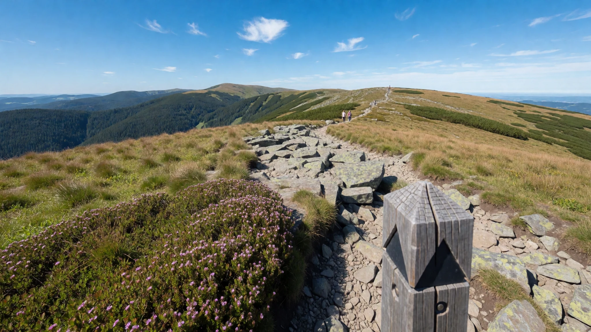
- Freiburg — Western edge of the range, near the Upper Rhine Plain
A historic university city on the western side of the range, often described as the driest, warmest and sunniest part of Germany. Its old centre, cafés and markets make a comfortable base, and the hills are close enough for day walks. Use it as a starting point rather than a place to rush through.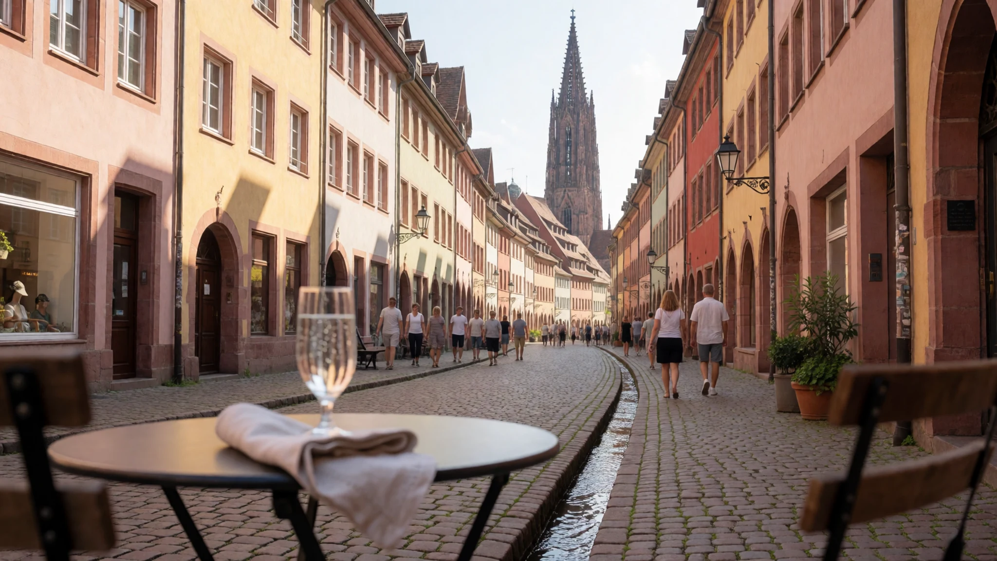
Culture
Life in the Black Forest is spread across farms, hamlets and a few larger towns, and much of its social calendar runs on festivals tied to the season and the village. The local speech is Alemannic, a dialect group that many residents use alongside standard German, so a few words of German go a long way. Traditional costume, or Tracht, appears mostly at festive occasions and varies from valley to valley. The Bollenhut, a hat with red bobbles for unmarried women, belongs to a few villages in the Kinzig valley and is worn for celebrations rather than daily errands. Farmhouses with broad, half-hipped roofs are part of the landscape, and many are still lived in, so treat them as private homes. Lodgings are often family-run guesthouses where the same households have looked after guests for generations. Ask before photographing people in costume, and keep to marked paths near farms and pasture rather than cutting across grazing land.
What to wear
The Black Forest's best-known dress is the Tracht of the villages around Gutach and the Kinzig valley, recognisable by the Bollenhut. Unmarried women wear the hat with red bobbles, called Bollen, while married women wear a black version. Brides may wear a bridal crown, the Schäppel, before and on the wedding day, and the largest examples from St. Georgen are notably heavy. Costume varies from one village to the next, so a style from one valley may look quite different in another. Today Tracht is worn mostly at festivals, church occasions and local celebrations rather than in daily life. In the towns, people dress much as they would anywhere in Germany, in jeans, jackets and walking shoes. In the countryside, a fleece or waterproof with sturdy footwear suits the forest. For a visitor, pack layers, because mountain weather changes quickly and the higher ground is cooler than the valleys. Good walking boots matter more than style on steep, muddy trails. Dress modestly for churches, and leave costume to those invited to take part in a local event.
What to eat
- Schwarzwälder Kirschtorte — Cafés and bakeries in the towns, and the village bakery in any hamlet
Perhaps the best-known local food, a moist chocolate cake layered with fermented cherries, whipped cream and chocolate shavings. It is usually eaten in the afternoon with coffee, and the slices are generous.
- Schwarzwälder Schinken — Butchers and smokehouse shops in the valley towns, and weekly market stalls
Black Forest ham, cured and smoked, is sliced thin and served on bread with a little butter or as part of a platter. Cuts differ in smokiness, so ask the seller which one suits you.
- Kirschwasser — Farm shops and the bar of a village Gasthaus
A clear cherry spirit distilled from local fruit, traditionally sipped after a meal or added to cakes. A small measure goes a long way, so pace yourself before a long walk. - Bauernvesper — A farm inn or mountain hut on a walking route
A farmhouse snack of dark bread, cheese, cured meat and pickles, served on a wooden board. It makes a simple lunch for walkers and shows how the forest kitchen grew out of farm larders. - Gasthaus meals — Village Gasthaus in any hamlet, especially along the walking valleys
Family-run kitchens serve heavy, home-cooked plates such as roast meats, dumplings and gravies. Portions are large, prices are usually lower than in town restaurants, and the recipes are often handed down through generations. - Fruit juice cartons — Village grocery shops and supermarkets
Cherry, apple and grape juices come in cartons on supermarket shelves at modest prices, and a litre usually costs under a euro. Pair them with bread and cheese from a village grocer for an easy picnic.
Plan it
Best time. Late spring to early autumn suits walking, and summer brings the greenest forest and the longest days. Skiing runs from about December to March on the higher slopes, and autumn offers fewer crowds on the trails.
How long. 3–4
Getting there. The only airport with scheduled services in the region is Baden-Airpark near Baden-Baden. Larger hubs are Stuttgart, Frankfurt and Zurich, and the last leg is usually by regional train or hire car.
Budget. mid
Tips
- Book family-run guesthouses early for weekends and festival weeks
- Start popular walks early, especially around the Feldberg on clear days
- Carry cash for small farm shops and village inns, and check card acceptance first
- Carry water on long hikes, since huts are not on every route
- Check the official regional tourism site for trail and ski conditions
Etiquette
- Close farm gates behind you
- Keep dogs on a lead near livestock
- Ask before photographing people in costume
Nearby
Sources
- Wikidata Q4204 (CC0)
- Wikipedia: Black Forest (rev 1375355381) (CC BY-SA 4.0)
- Wikivoyage: Black Forest (rev 5198893) (CC BY-SA 4.0)
- Photo: Blick ins Renchtal (Stefan Karl) (CC BY 3.0)
- Photo: Blick vom Hohfelsen (MWolf89) (CC BY-SA 4.0)
- Photo: Relief Map of Germany, Black Forest (CC BY 3.0)
- Photo: Schwarzwälder Bauernhaus um 1900 (Public domain)
- Photo: Schwarzwälderin in Tracht um 1900 (Public domain)
- Photo: High Black Forest nr Breitnau (Bermicourt) (CC BY-SA 4.0)
- Photo: Luftaufnahme Feldberg Seebuck (Thomas Berwing) (CC BY 3.0)
- Photo: Blick vom Fremersberg auf Yburg (Jhtie) (CC BY-SA 2.5)


