Bernardo O'Higgins National Park
Bernardo O'Higgins National Park, Chile
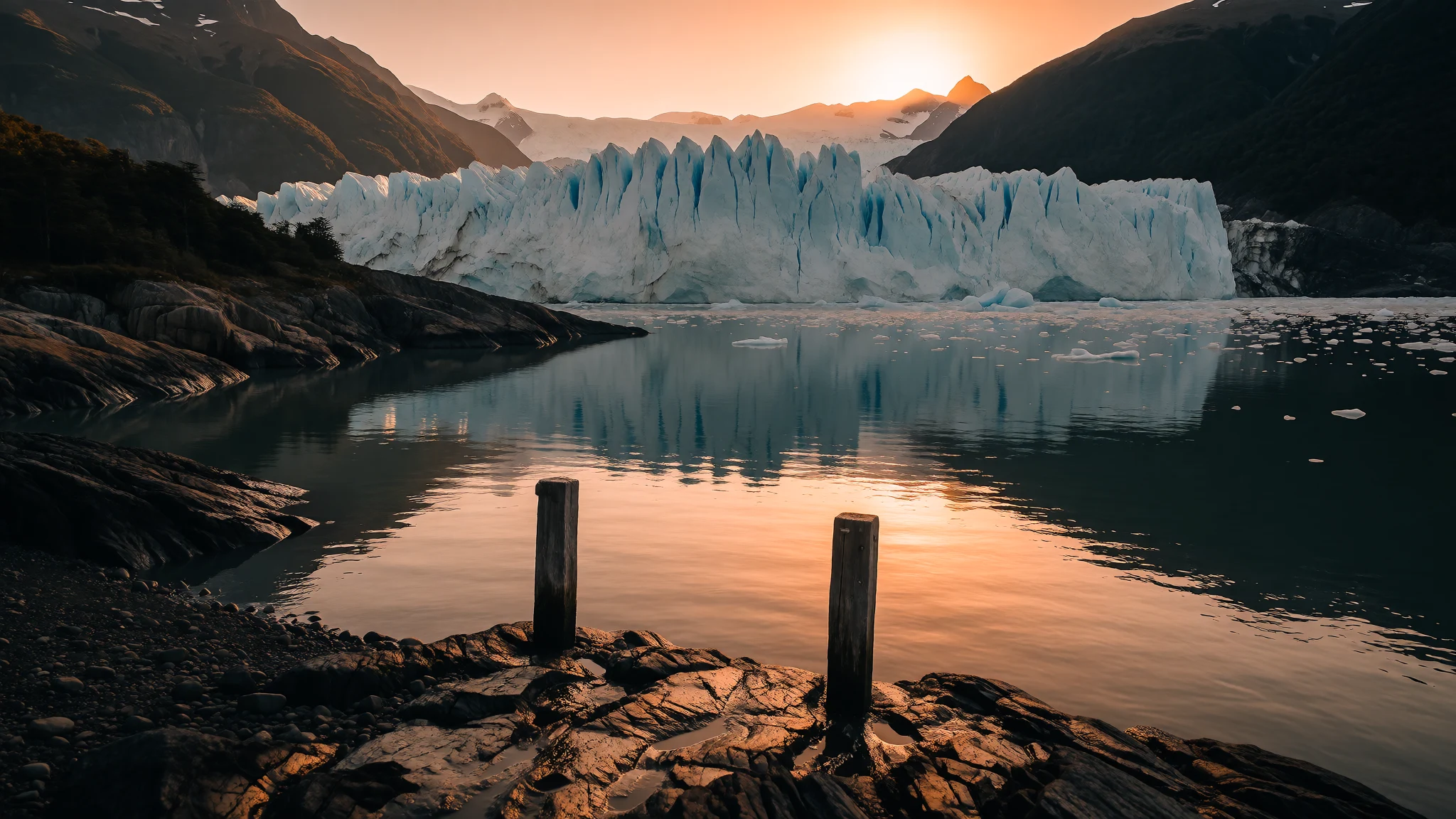
Bernardo O'Higgins National Park is Chile's largest protected area, a remote world of ice, fjords and storm-swept peaks.
The place
Bernardo O'Higgins National Park occupies a huge sweep of southern Chile, straddling the Aysén Region and the Magallanes and Antártica Chilena Region. No other protected area in Chile covers more ground: the park spreads across 35259 square kilometres of ice field, fjord and mountain, and the Corporación Nacional Forestal (CONAF) cares for it along with the country's other national parks. Its name honours Bernardo O'Higgins, the soldier who became Chile's first head of state. On the map the park runs roughly from the Baker Channel to the northern reach of the Fjord of the Mountains. Across the eastern ice lies Argentina's Los Glaciares National Park, with Torres del Paine National Park farther to the south-east. Laguna San Rafael National Park lies northward; the Katalalixar National Reserve sits to the northwest, and the Alacalufes National Reserve to the southwest. Chile and Argentina still disagree over a band of the east-central ice.
Lautaro, a volcano, is the highest point in Bernardo O'Higgins National Park, at 3607 metres, standing over the Southern Patagonian Ice Field. Mount Fitz Roy, Cerro Torre, Circo de los Altares and Cerro Riso Patrón share that high crest. In the south the summits drop. Mount Balmaceda reaches 2035 metres, with the Balmaceda and Serrano glaciers on its flanks above Última Esperanza Sound. The outer shore has no great rivers. Water leaves the high ice through long, narrow fjords that push inland between storm-battered ridges. Boats and helicopters are the only way in, so the glaciers of Última Esperanza Sound and Pío XI Glacier draw nearly everyone who comes.
Its story
Bernardo O'Higgins National Park was set aside in 1969, but people had lived among these channels long before any boundary was drawn. The first known inhabitants were the Alacaluf, canoe people of the western fjords, who moved with the seasons between shellfish beds, seal rocks and sheltered inlets. European charting came much later. Captain Phillip Parker King entered Eyre Fjord in 1830 aboard HMS Beagle, and the survey he was drawing helped to fill in this part of the southern Chilean coast.
For most of the twentieth century the interior stayed a place of ice crossings and rare landings. The park's modern story is written as much in ice as in decrees. Between March and May 2007 a glacial lake inside the park emptied completely. By June that year the news had spread: the water was gone, a crater was left, and blocks of ice sat on the floor. In July 2007 researchers gave a first conclusion: the lake had vanished because the climate was changing. The episode showed how fast Patagonia's ice-dammed lakes can empty.
Administration has kept evolving with the landscape. In 2014 two named natural sites, the Chaltén Mountain Range and Pío XI Glacier, were set apart within Bernardo O'Higgins National Park. What has not changed is the park's character: CONAF manages the land, almost everyone who comes arrives from a gateway town, and the fjords are still a working coast as much as a view.
What to see
- Pío XI Glacier — Seaward front of the southern ice
Pío XI Glacier, also called Brüggen Glacier, is the ice face most visitors come to see in Bernardo O'Higgins National Park. Guidebooks single it out as the south's largest glacier away from the Arctic, and unlike many others the snout is still advancing. Boats approach the seaward edge, where the wall dwarfs the deck, though cloud often hides the ice.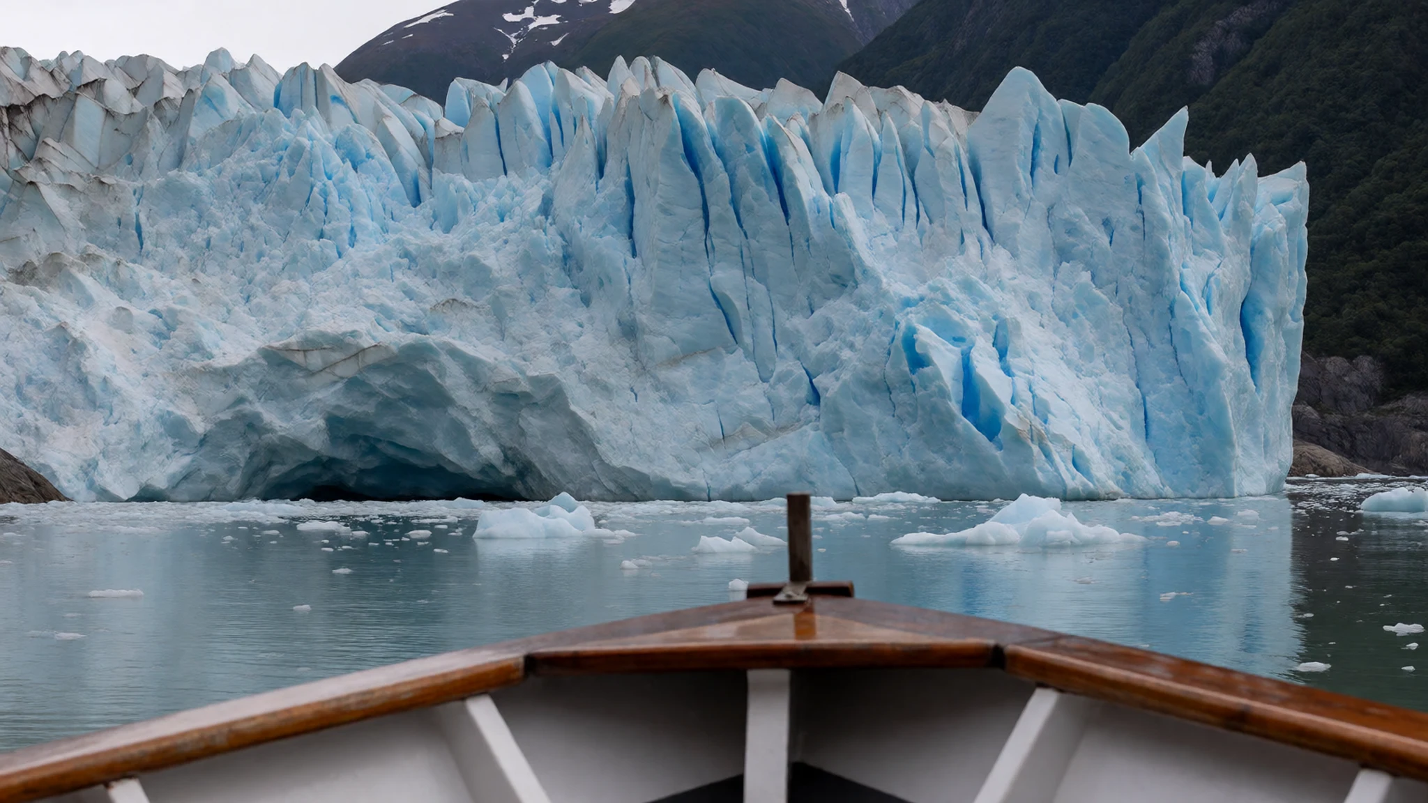
- Balmaceda and Serrano Glaciers — Head of Última Esperanza Sound
The Balmaceda and Serrano glaciers are the classic boat day from Puerto Natales into Bernardo O'Higgins National Park. Full-day boats sail to the head of Última Esperanza Sound, where Mount Balmaceda rises behind the ice. Serrano Glacier is the companion face on the same water. This is the park's most visited corner, yet even here the day is long, cold and entirely dependent on the boat getting out and back.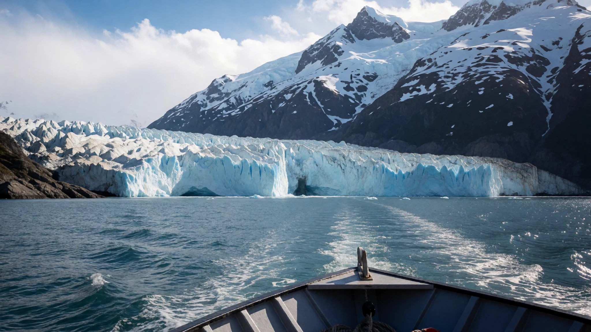
- Jorge Montt Glacier — Northern edge, toward the Baker Channel
Jorge Montt Glacier spills from the northern ice of Bernardo O'Higgins National Park toward the Baker Channel. The front calves into the fjord, so the shoreline of ice and rock never looks the same for long. Travellers reach it by boat from the Aysén side, usually on a channel cruise rather than on foot. Nothing in the way of a path or a shelter waits at the waterline.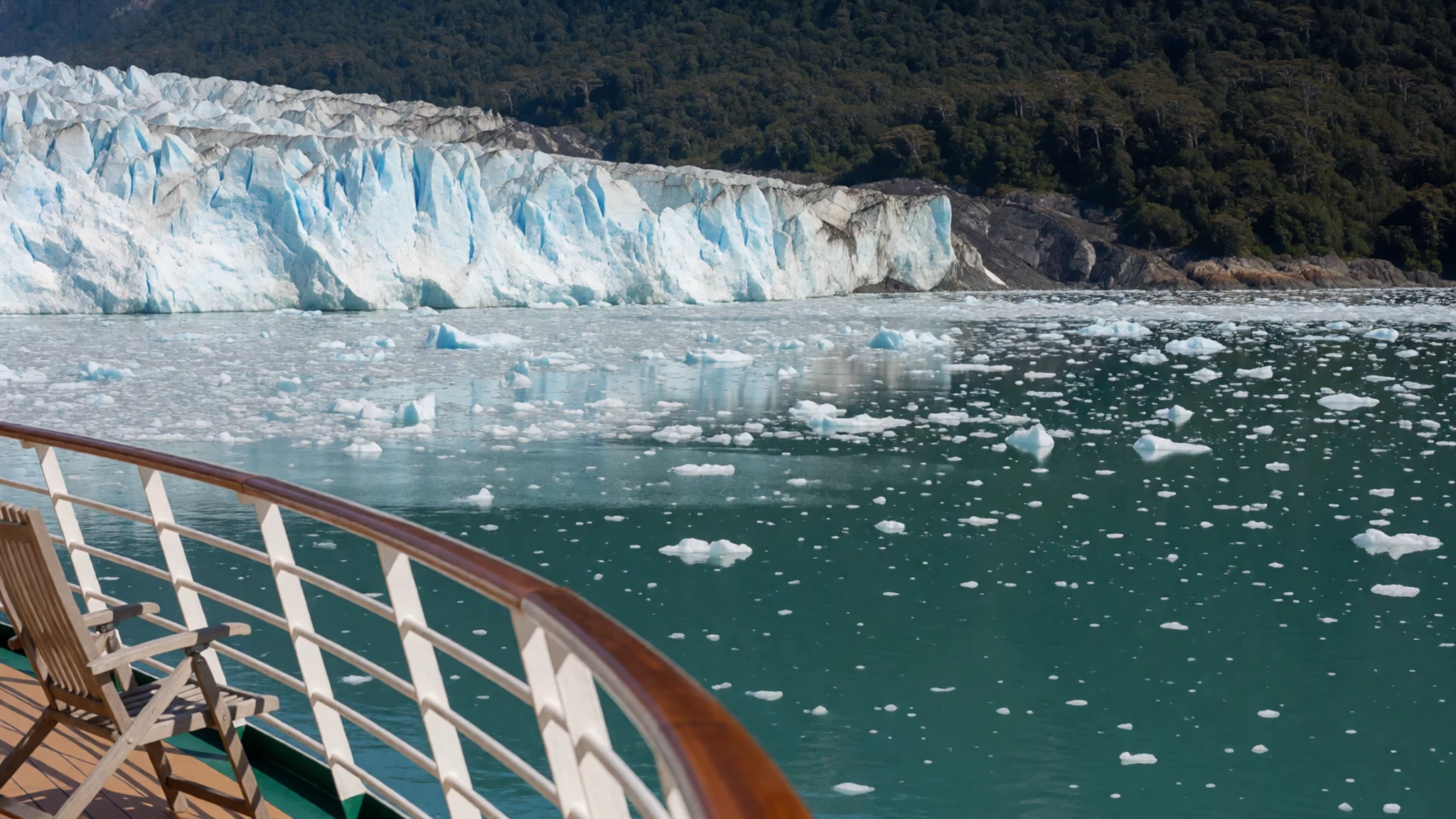
- Amalia Glacier — Above Peel Fjord, toward the Sarmiento Channel
Amalia Glacier hangs above Peel Fjord in Bernardo O'Higgins National Park, where the water runs on toward the Sarmiento Channel. Boats thread the steep shores until the ice shows at the head of the fjord. It is a quieter call than the better-known southern fronts, and skippers include it when the weather allows. Sea kayakers use these channels too, but the wind can turn a settled hour into hard going.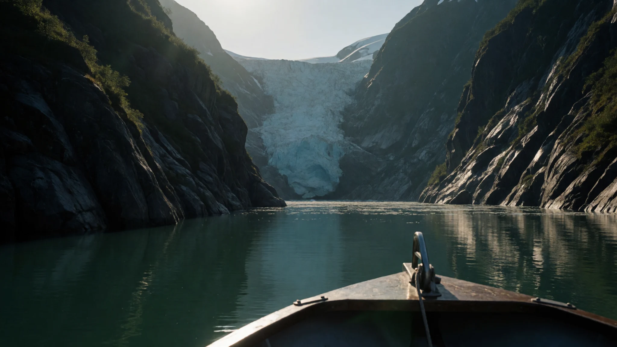
- O'Higgins Glacier — Northern gateways
O'Higgins Glacier is a named ice front in Bernardo O'Higgins National Park, sought mainly from the northern gateways. The visit is a boat day: the ice lies at the end of a long water approach, and wind decides the timetable. Crews fold it into the same remote circuit as the northern fjords. Cold spray, shifting light and an empty shoreline are the usual conditions at the face.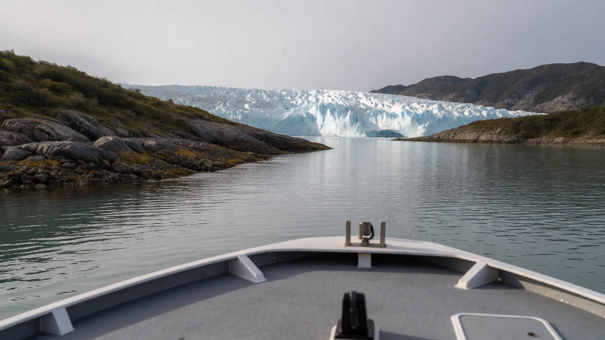
Culture
Bernardo O'Higgins National Park is not a landscape people live inside in any dense way. The human story belongs to the channels: the Alacaluf, or Kawésqar, whose lives were built around canoes, shellfish and the constant moving camp, and to the small settlements that still face the park from the water. Puerto Edén is the inhabited point most closely tied to that history, a remote hamlet where family lodging and boat work are part of ordinary life rather than a resort trade. Elsewhere the park is managed land. CONAF, the national forestry body, is responsible for Bernardo O'Higgins National Park as it is for Chile's other national parks, which in practice means a public manager on paper and almost no buildings on the ground.
Visitors join a boat from Puerto Natales, Villa O'Higgins, Caleta Tortel or Puerto Edén, or they pass the ice on a longer cruise between the far south and Puerto Montt. Sea kayaking has a following among travellers who want the channels at water level, but it is a specialist pursuit in a place with no rescue nearby. The tone among crews is practical: weather is the authority, wildlife is given room, and rubbish comes back to town. In Bernardo O'Higgins National Park, stay with the boat's landing plan, give seals and seabirds a wide berth, and carry every piece of rubbish back to the gateway.
What to wear
Bernardo O'Higgins National Park has no court dress and no textile tradition of its own on display. The Alacaluf, or Kawésqar, who travelled these fjords lived by the canoe, and their clothing was made for permanent damp: sea-lion and otter skins, worn as capes and wraps, sometimes rubbed with fat to shed rain. Woven wool and bright ceremony belong elsewhere in Chile. Here a dry skin mattered more than cloth.
People who live and work at the park's edge today dress for the same weather in modern kit. In Puerto Edén, Caleta Tortel and on the boats, the usual clothes are waterproof jackets, fleece layers, knitted caps and rubber boots. In Puerto Natales, before and after a trip, the look is ordinary southern Chilean town wear: jeans, wool jumpers and outdoor coats, with the smart shell jacket kept for the water.
A visitor to Bernardo O'Higgins National Park should pack the same way the crews do. Even in summer the wind off the ice is cold, so a waterproof outer layer, a warm mid-layer, gloves, a hat and boots with a grip on a wet deck are the useful clothes. There is no shrine dress code and no need for formal wear.
What to eat
- Cordero al palo — Family asados and plain eateries in Puerto Natales
Cordero al palo is lamb roasted on a spit beside a wood fire, the dish Magallanes serves when people gather. Near Bernardo O'Higgins National Park it appears at family asados and plain eateries in Puerto Natales after a boat day, with bread on the side.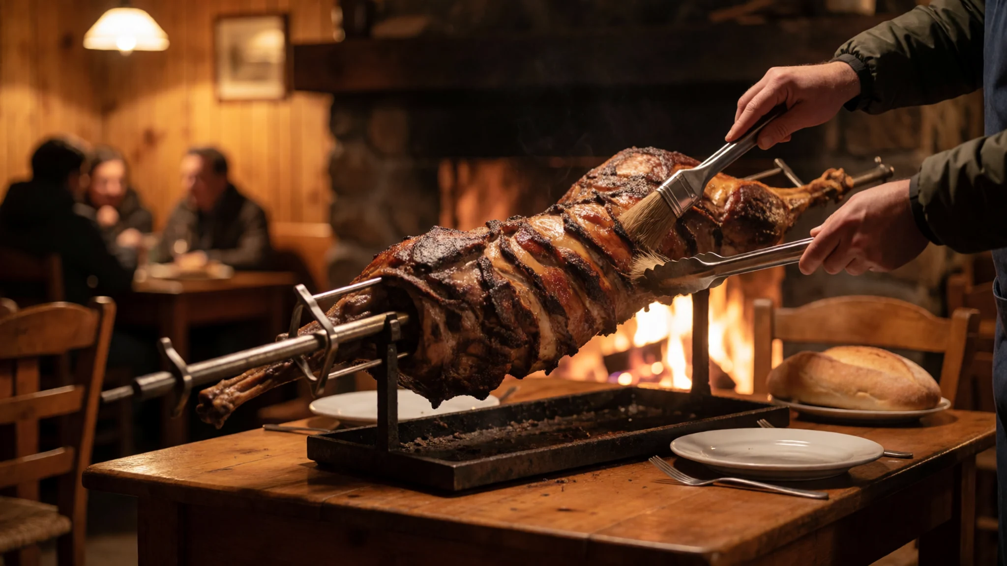
- Centolla — Harbour eateries and family dining rooms in Puerto Natales
Centolla is the southern king crab served when boats come back to Puerto Natales from Bernardo O'Higgins National Park. Harbour eateries and family dining rooms offer it cold with a plain sauce or warm in a light stew. The catch changes through the week.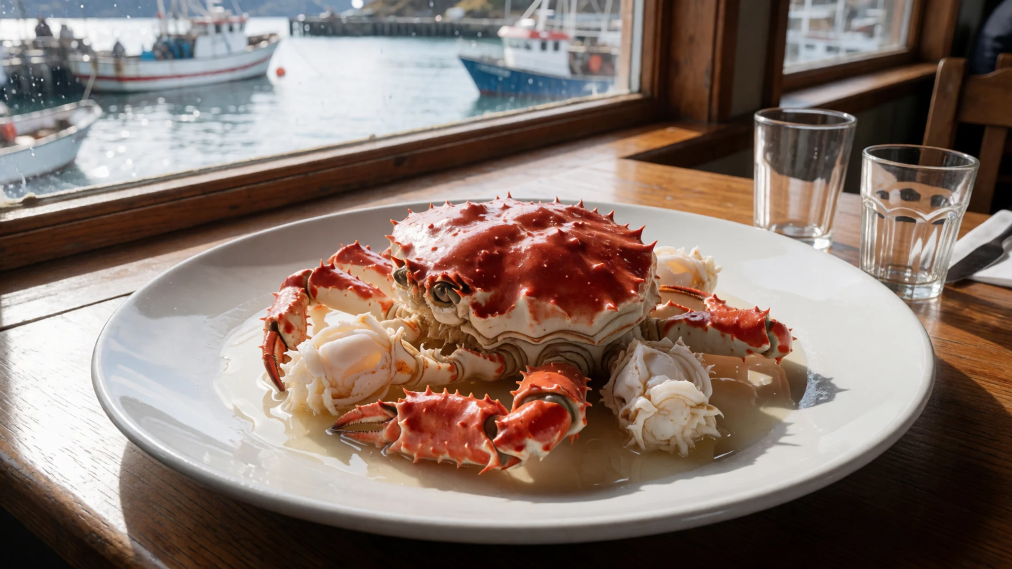
- Caldillo de congrio — Harbour eateries in Puerto Natales or Puerto Edén
Caldillo de congrio is a hot fish stew of conger eel, potato and broth, the bowl people want after a day of spray. Near Bernardo O'Higgins National Park it is served in harbour eateries in Puerto Natales or Puerto Edén. There is no kitchen inside the park itself. - Empanadas de mariscos — Bakeries and small eateries in Puerto Natales and Caleta Tortel
Empanadas de mariscos are baked pastries of shellfish and onion, eaten from the hand before a boat leaves. Bakeries and small eateries in Puerto Natales and Caleta Tortel, the gateway towns for Bernardo O'Higgins National Park, pack them for early sailings. - Calafate preserves — Bakeries and grocers in Puerto Natales
Calafate is a wild Patagonian berry turned into jam, syrup and plain sweets. Visitors to Bernardo O'Higgins National Park find it in bakeries and grocers in Puerto Natales, spread on bread at breakfast before a glacier boat.
Plan it
Best time. December to March is the practical window for Bernardo O'Higgins National Park, the southern summer, when camping is possible and daylight lasts longest. Bernardo O'Higgins National Park is harsh in every month: wind, rain and sudden cold cancel boats outside that season and inside it too.
How long. two to three
Getting there. Bernardo O'Higgins National Park can be entered only by boat or helicopter. The usual southern gateway is Puerto Natales, for the glaciers at the head of Última Esperanza Sound; travellers fly into Punta Arenas and continue by road to Natales, then join a boat. From the north, Villa O'Higgins and Caleta Tortel link to the park by water, with Puerto Edén as the remote settlement on the channels.
Budget. high
Tips
- Check the official CONAF page for Bernardo O'Higgins National Park before leaving, and do not trust a second-hand timetable.
- Book the boat in Puerto Natales or at a northern gateway, and keep an extra day free because wind cancels sailings.
- Carry the day's food, drinking water and a full set of warm waterproof layers; the park has no shops and no shelter to count on.
- Take cash into Puerto Edén and the smaller gateways; do not assume you can buy anything once you leave Puerto Natales.
- Treat sea kayaking as a guided undertaking for people who already paddle in cold water, not as a first lesson.
Etiquette
- Stay with the landing plan the crew sets, and do not walk off across unmarked ice or rock.
- Give seals, seabirds and other wildlife a wide berth, and never feed them.
- Carry all rubbish back out. Bernardo O'Higgins National Park has no collection.
- Ask before you photograph residents in Puerto Edén or other small settlements.
Nearby
Sources
- Wikidata Q1702858 (CC0)
- Wikipedia (rev 1362699623) (CC BY-SA 4.0)
- Wikivoyage (rev 5329766) (CC BY-SA 4.0)
- Photo: Southern Patagonian Ice Field — NASA (Public domain)
- Photo: SantaCruz-Upsala-P2140135b.jpg — Unknown author (CC BY-SA 2.5)
- Photo: Monte Fitz Roy SkySat — Planet Labs, Inc (CC BY-SA 4.0)
- Photo: Pío XI Glacier — David Stanley (CC BY 2.5)
- Photo: Carretera Austral map — User:B1mbo (CC BY 3.0)
- Photo: Bernardo O'Higgins nationalpark — Christer T Johansson (CC BY 3.0)
- Photo: Asia Fjord — David Stanley (CC BY 2.5)
- Photo: Bernardo O'Higgins nationalpark — Christer T Johansson (CC BY 3.0)


